The best walks and hikes around Farnese
4.5
(958)
3,761
hikers
92
hikes
Hiking around Farnese offers exploration of a landscape shaped by volcanic activity and historical significance. The region is characterized by dramatic tufa rock formations, dense forests like Lamone, and the expansive Cupa Valley. Situated near Lake Bolsena, the area's terrain includes varied elevations and lush vegetation, providing diverse hiking opportunities. This geological and natural setting makes Farnese a destination for outdoor enthusiasts interested in both nature and ancient history.
Best hiking trails around Farnese
- The most popular hiking route is…
Last updated: August 31, 2026
4.4
(5)
13
hikers
11.2km
03:11
250m
250m
Moderate hike. Good fitness required. Easily-accessible paths. Suitable for all skill levels.
5.0
(1)
1
hikers
3.50km
00:58
60m
60m
Easy hike. Great for any fitness level. Easily-accessible paths. Suitable for all skill levels.

Sign up for free
4.5
(2)
18
hikers
15.0km
04:03
190m
190m
Moderate hike. Good fitness required. Easily-accessible paths. Suitable for all skill levels.
4.7
(6)
17
hikers
6.49km
01:44
70m
70m
Easy hike. Great for any fitness level. Easily-accessible paths. Suitable for all skill levels.
3.3
(4)
10
hikers
10.8km
02:54
130m
130m
Moderate hike. Good fitness required. Easily-accessible paths. Suitable for all skill levels.
Get access to more routes and recommendations from other explorers.
Sign up for free
Already have an account?
Our route recommendations are based on thousands of hikes, rides, and runs completed by other people on komoot.
Start today with a free account
Your next adventure awaits.
Login or Signup
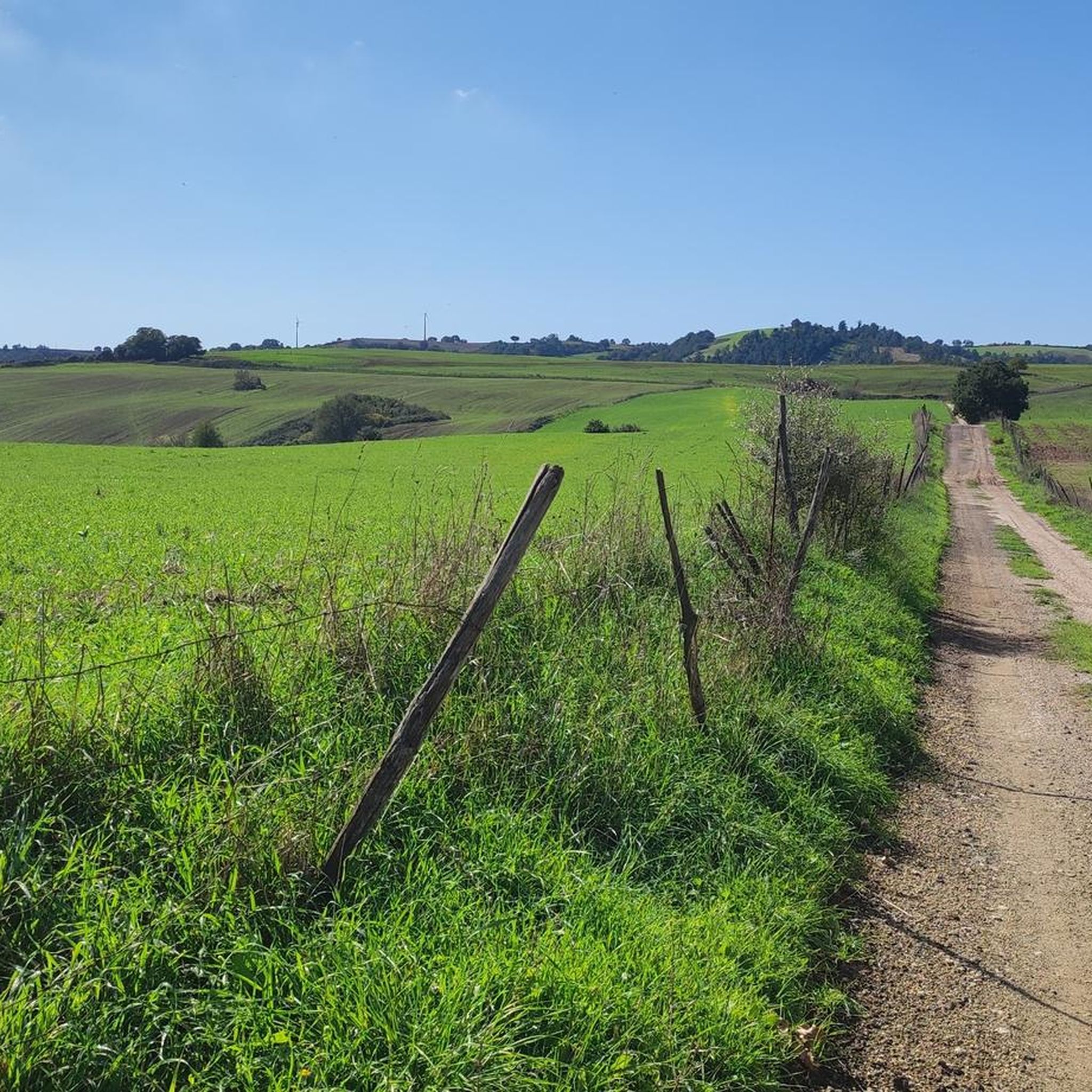
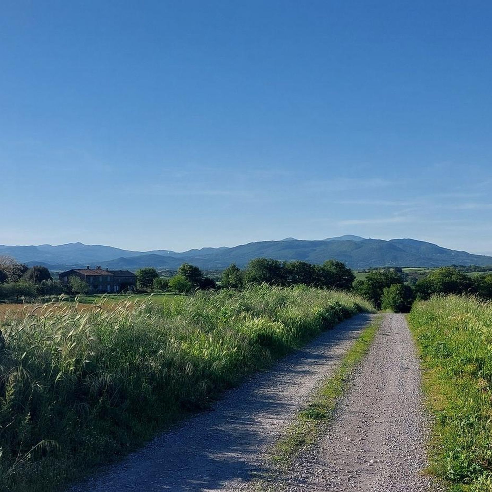
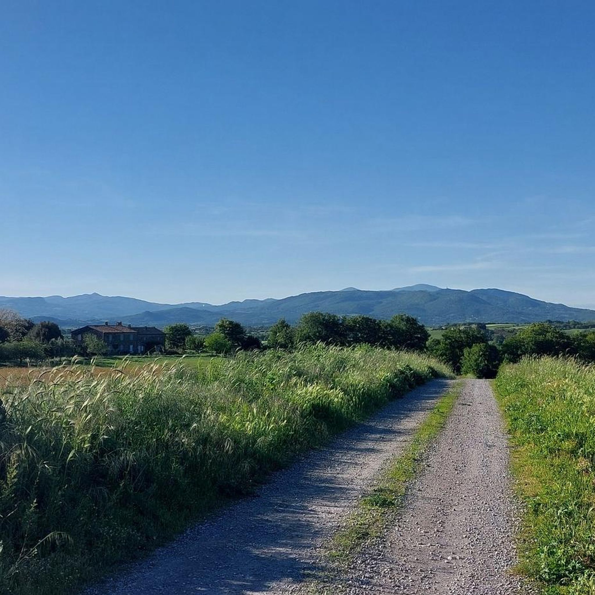

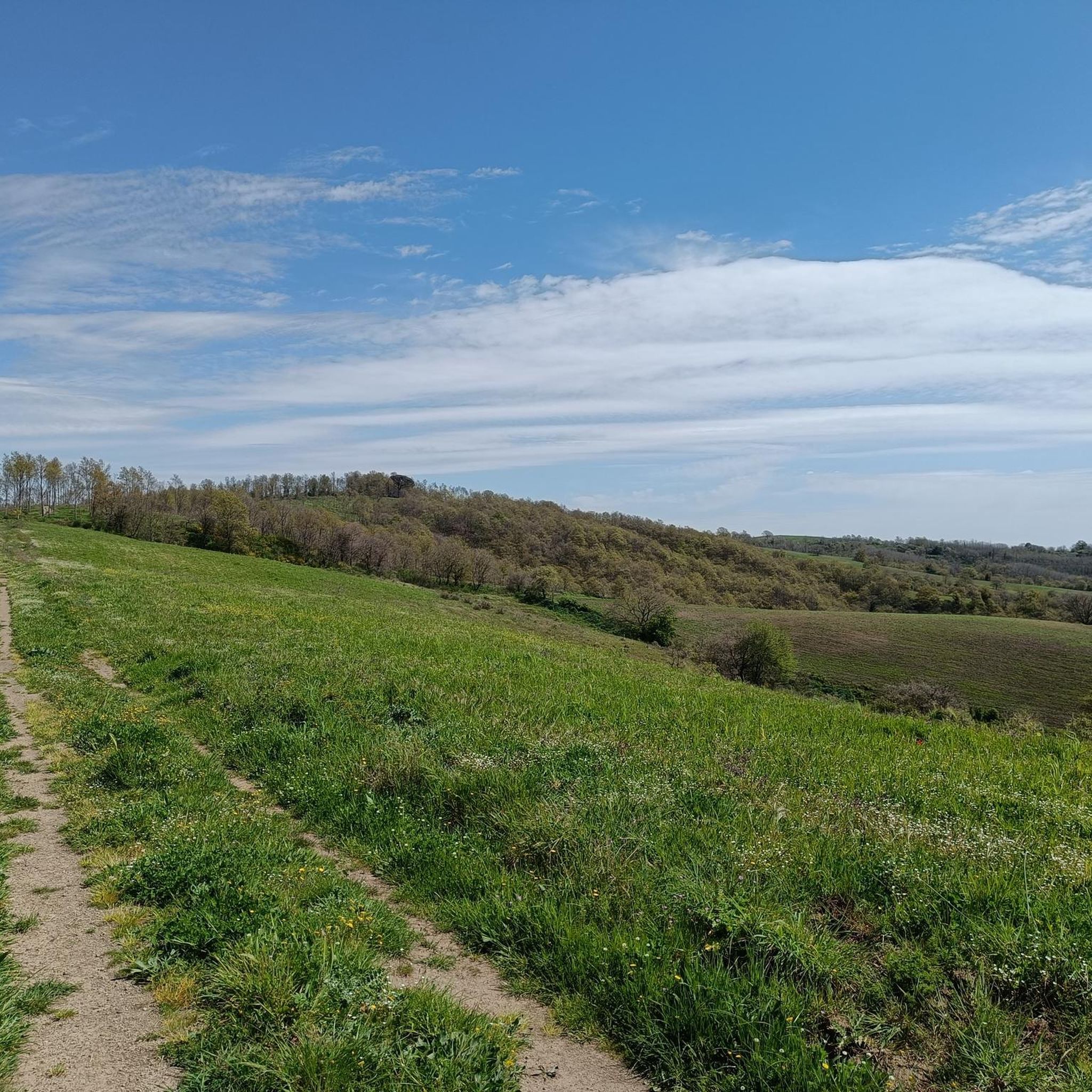
Tips from the Community

The site is closed for maintenance. Paths are disturbed, unmaintained, and often unmarked. Walking the route often leads you to the back of closed buildings.
0
0

A very beautiful and quiet place. Ideal for switching off and relaxing.
1
0
magnificent route with the warm climate of this December 2024
0
0

Rosalio city walls
1
0

in these parts (path number 3) is the path interrupted by a fallen tree. go around it from the right and find the road again.
0
0
enchanting. Good boots are required due to the many stones, and long trousers if you want to avoid craffietti from the (few) brambles on the routes.
0
0

The waterfalls are located within the Selva del Lamone Regional Nature Reserve, to reach them it will be necessary to follow path no. 8 of the reserve.
2
0
Morning is the right time to take advantage of the shade
0
0
Frequently Asked Questions
How many hiking trails are available around Farnese?
There are over 80 hiking routes around Farnese, offering a variety of experiences from easy strolls to more challenging treks. The komoot community has explored these trails over 3000 times.
What kind of landscapes can I expect to see while hiking near Farnese?
The landscape around Farnese is defined by its volcanic origins, featuring dramatic tufa rock formations, the expansive Cupa Valley, and dense woodlands like the Lamone Forest. You'll also find views towards Lake Bolsena and traces of ancient Etruscan settlements.
Are there any easy hiking trails suitable for beginners or families in Farnese?
Yes, Farnese offers several easy trails. An excellent option is the Walk in the ancient city of Castro, which is 2.2 miles (3.5 km) long and provides insights into the region's historical past. Overall, 43 of the routes in the area are rated as easy.
What are some notable historical or natural landmarks to look out for on the trails?
While hiking, you can discover several interesting landmarks. The area is rich in Etruscan history, with traces of ancient settlements and necropolises. You might encounter sites like the Pitigliano Historic Town, the ancient pathways of Via Cava di San Giuseppe, or the impressive Via Cava Madonna delle Grazie gorge.
Are there any circular hiking routes around Farnese?
Yes, many routes around Farnese are circular. A popular choice is From Farnese to the gates of the Selva del Lamone - Ring tour, a 7.0-mile (11.2 km) moderate trail that explores the dense Selva del Lamone forest.
What do other hikers enjoy most about the trails in Farnese?
The trails in Farnese are highly rated by the komoot community, with an average score of 4.6 stars from over 700 reviews. Hikers often praise the unique tufa rock formations, the peacefulness of the dense woodlands, and the historical insights offered by routes through ancient sites.
Is Farnese a good destination for challenging hikes?
While many trails are easy to moderate, there are 8 routes rated as difficult for those seeking a challenge. These routes typically feature greater elevation changes and longer distances, providing a more strenuous experience within the region's varied terrain.
What is the best time of year to go hiking in Farnese?
The lush vegetation and varied terrain make Farnese enjoyable across seasons. Spring and autumn generally offer the most pleasant temperatures for hiking, with vibrant foliage in spring and rich colors in autumn. Summers can be warm, while winters are typically mild.
Are there options for food and drink near the hiking trails in Farnese?
Farnese, as a medieval village, offers local establishments where you can find refreshments. Many trails start or pass near the village, providing convenient access to cafes and pubs. For specific recommendations, it's best to check local listings upon arrival.
How accessible are the hiking trails by public transport or car, and is parking available?
Farnese is accessible by car, and parking is generally available within or on the outskirts of the village. While public transport options to Farnese exist, they might be less frequent. For specific trailheads, driving is often the most convenient way to reach them.
Can I find trails that offer panoramic views?
Yes, the region's hilly terrain and volcanic origins provide many opportunities for panoramic views. The Edicola di San Giuseppe – View of Pitigliano loop from Pitigliano is a 7.7-mile (12.4 km) trail specifically noted for leading through varied terrain with impressive panoramic vistas.
What should I bring for a hike in Farnese?
Given the varied terrain and potential for historical exploration, it's advisable to bring sturdy hiking shoes, water, and sun protection. Depending on the season, layers of clothing are recommended. A camera would also be great to capture the unique landscapes and historical sites.
Most popular attractions around Farnese

Get inspired with the komoot mobile app


Explore more
Browse the best Hikes in other regions.
