The best walks and hikes around Castelraimondo
4.4
(365)
1,855
hikers
191
hikes
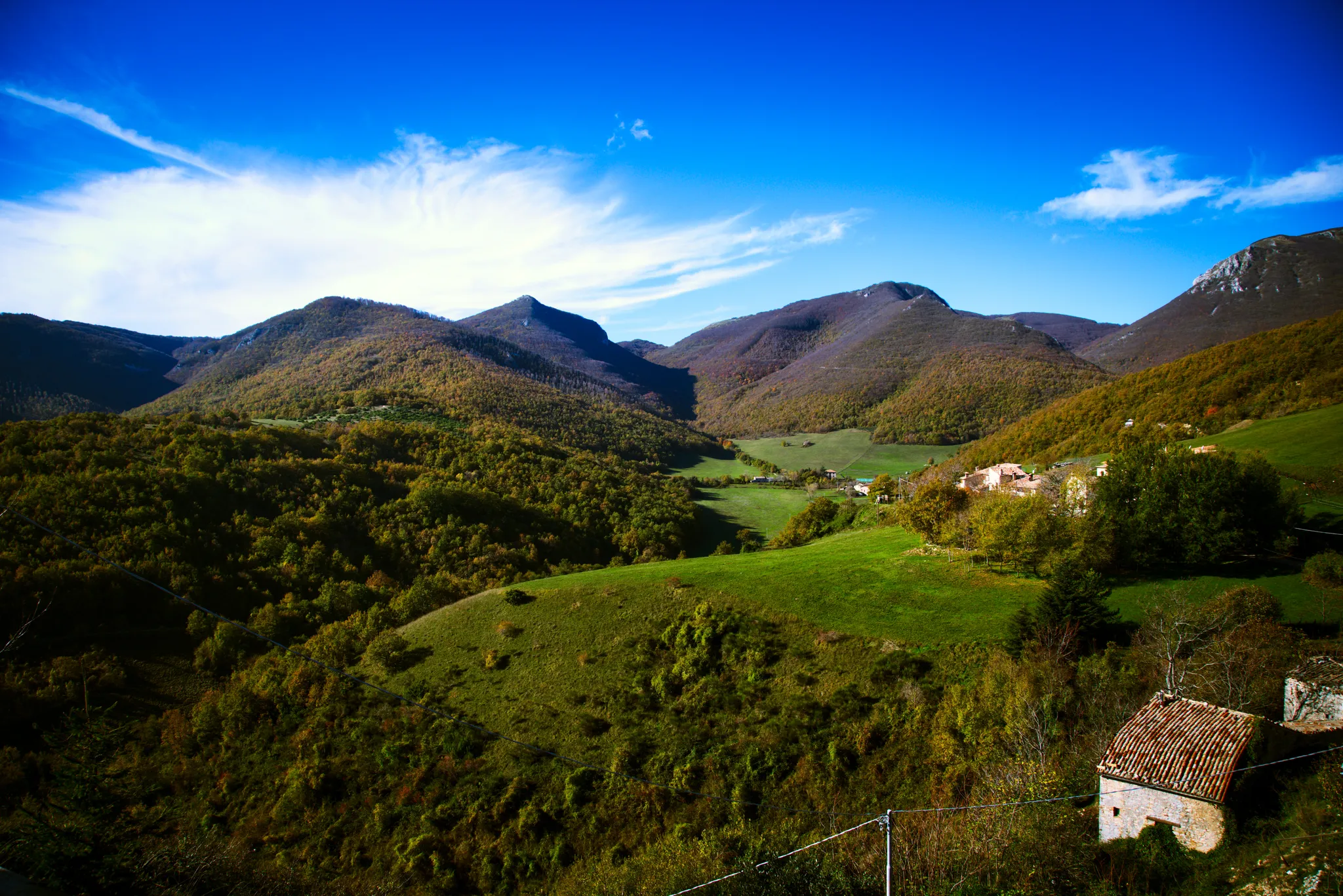
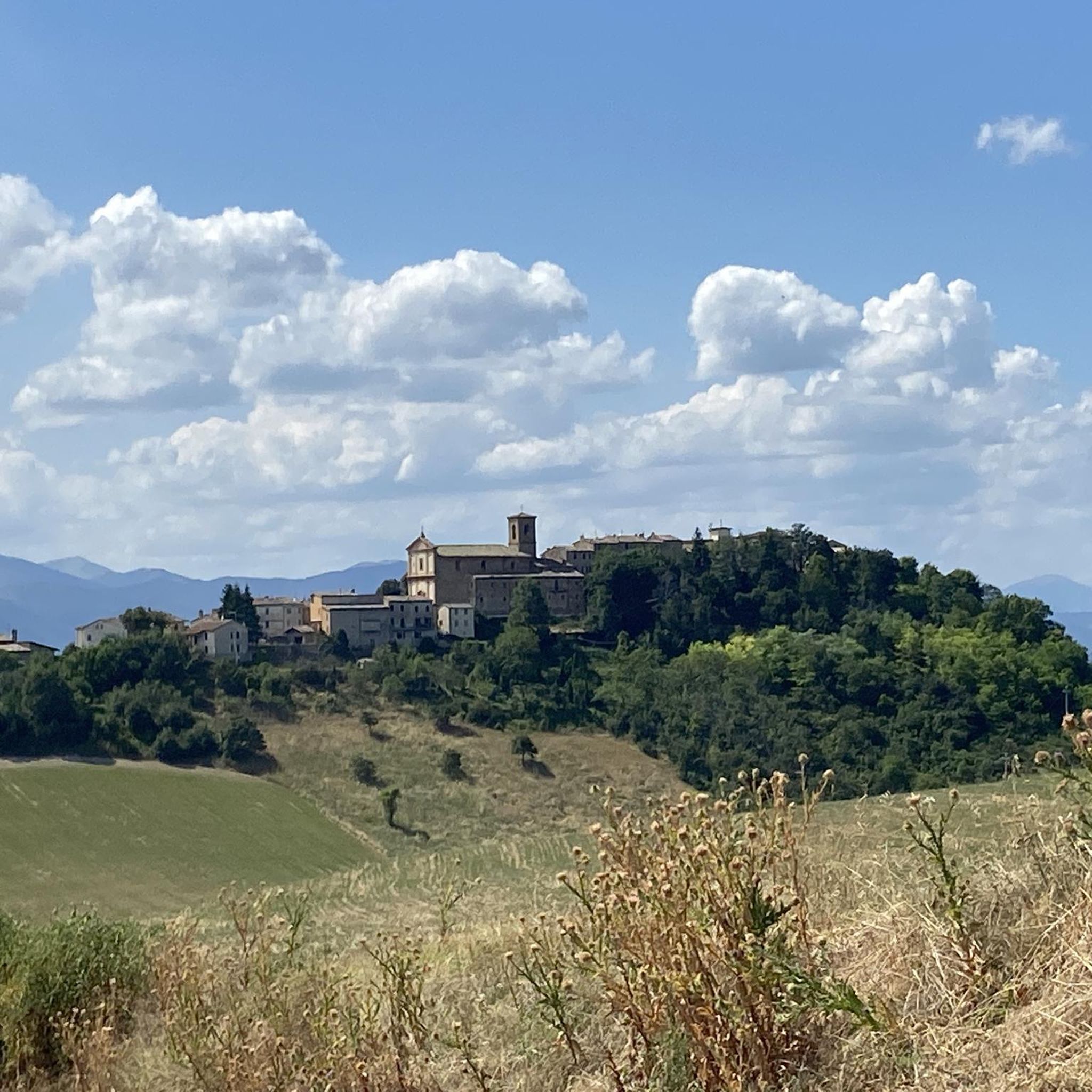
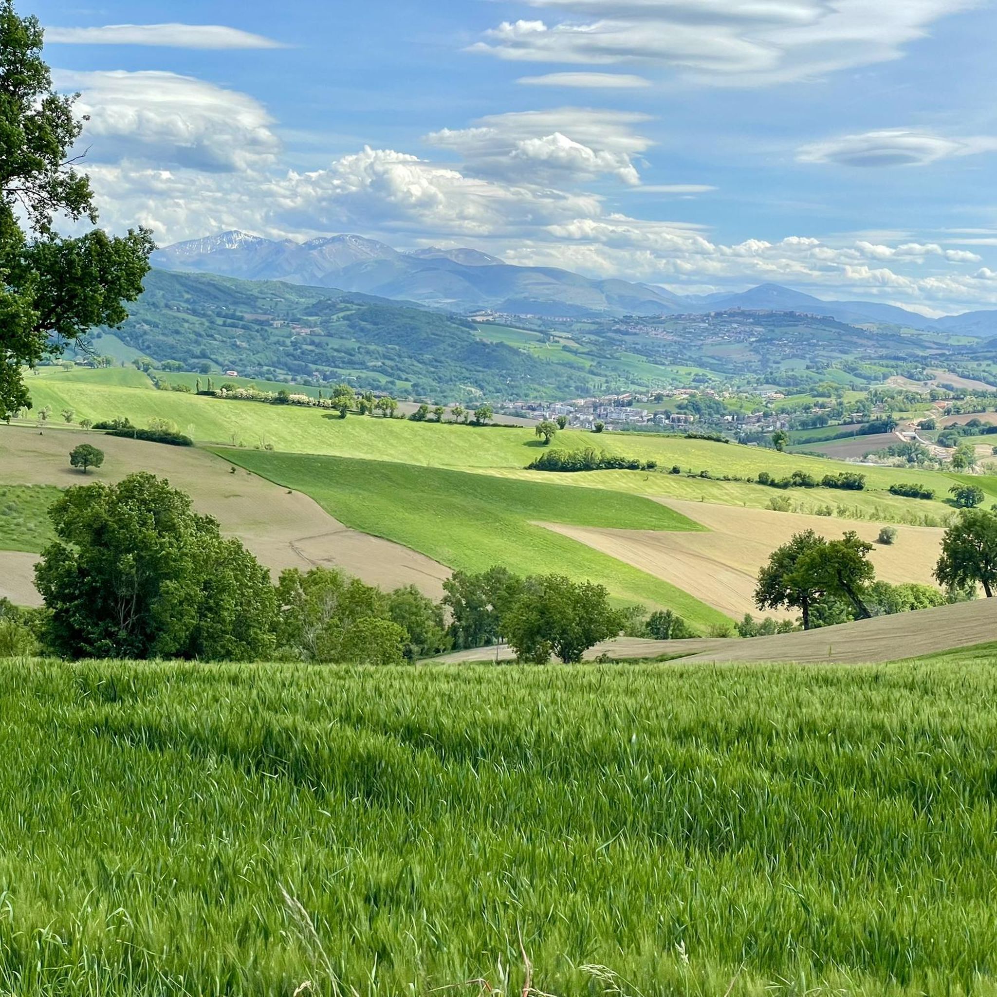
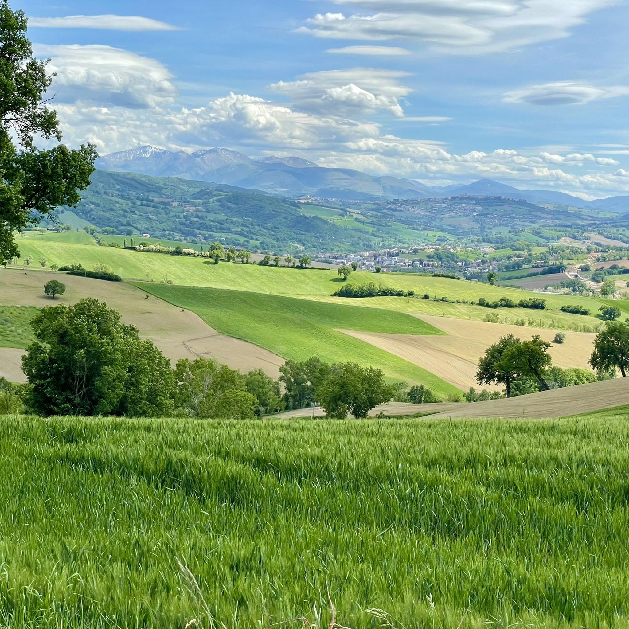
Hiking around Castelraimondo offers access to a landscape characterized by rolling hills, river valleys, and forested areas within the Marche region of Italy. The terrain features varied elevations, providing both gentle paths and more challenging ascents. The area is known for its natural beauty, with routes often passing through rural settings and offering views of the surrounding countryside.
Best hiking trails around Castelraimondo
- The most popular hiking route is Monte Gemmo – Tre Pizzi loop from Colle di Cardine,…
Last updated: June 24, 2026
5.0
(2)
12
hikers
11.6km
03:37
420m
420m
Moderate hike. Good fitness required. Mostly accessible paths. Sure-footedness required.
4.5
(18)
96
hikers
25.6km
07:45
830m
830m
Hard hike. Very good fitness required. Easily-accessible paths. Suitable for all skill levels.

Sign up for free
4.3
(3)
15
hikers
7.40km
02:57
580m
580m
Moderate hike. Good fitness required. Easily-accessible paths. Suitable for all skill levels.
9
hikers
11.1km
03:04
190m
180m
Moderate hike. Good fitness required. Easily-accessible paths. Suitable for all skill levels.
5.0
(1)
5
hikers
7.54km
02:22
310m
310m
Moderate hike. Good fitness required. Easily-accessible paths. Suitable for all skill levels.
Get access to more routes and recommendations from other explorers.
Sign up for free
Already have an account?
Our route recommendations are based on thousands of hikes, rides, and runs completed by other people on komoot.
Start today with a free account
Your next adventure awaits.
Login or Signup

Other adventures around Castelraimondo

Tips from the Community

The splendid Piazza del Popolo in San Severino Marche is one of the crossing points for many routes both on foot and by bike, I can mention the path of the forts, Italy cost to cost among the most famous near the town hall door you will find the The local proloco office will be able to provide you with lots of useful information
0
0

The Piazza del Popolo in San Severino is a large and harmonious area surrounded by porticoes in the heart of the city. Originally a market place in the 13th century, the square has undergone various transformations over the centuries. Today it houses the town hall, the Feronia theater and the church of San Giuseppe, representing the vital center of city life. The fountains make the square particularly pretty.
1
0

The Torre del Cassero was built between 1311 and 1385 as part of the Castrum Raymundi complex. This fortress was part of the defensive system called "dell'Intagliata", made up of towers, moats and walls, to protect Camerino during the wars with the nearby towns of San Severino and Matelica. Il Cassero rises to over 35 meters in height. Over time, the tower became the bell tower of the adjacent church of San Biagio, which also incorporated the remains of the few remaining walls.
1
0
Not far from the top of Monte d'Aria, this pass is located at around 750 meters above sea level. Just to the south, along the road to Camerino, stood the Beregna tower, built in 1382 by Giovanni da Varano as part of a defensive line between Camerino and Matelica. Already abandoned at the end of the 17th century, it finally collapsed in the 1970s due to some earthquakes.
1
0
There is a large antenna at the top of Monte d'Aria, but on the other side there is a beautiful and vast view.
1
0
The oldest part of San Severino Marche, called "Castello al Monte", is easily recognizable thanks to the two towers that rise proudly on the hill with a slight inclination. The tallest tower is that of the Municipality, also known as "degli Smeducci" (a noble family from San Severino), while the other is the bell tower of the Duomo Vecchio. The Torre degli Smeducci, in addition to being a symbol of the city, was used to observe the territory and signal smoke and fire in case of danger. This exchange of codified information took place between the various castles in the area, allowing the population to be warned of any threats.
2
0

Monte Gemmo is located at 1202 meters, and is part of a massif that also includes Tre Pizzi and Pizzo Torto. This mount is very popular with paragliding enthusiasts.
1
0
Frequently Asked Questions
How many hiking trails are available around Castelraimondo?
Castelraimondo offers a wide variety of hiking experiences, with over 190 trails recorded on komoot. These routes cater to all levels, from easy strolls to challenging full-day treks through the Marche countryside.
Are there easy hiking trails suitable for beginners or families in Castelraimondo?
Yes, Castelraimondo has over 30 easy hiking trails perfect for beginners or families. These routes typically feature gentler terrain and shorter distances. A good option for a moderate, yet accessible, experience is the Cassero Tower loop from Castelraimondo, which offers pleasant views without extreme difficulty.
What are the best times of year to go hiking in Castelraimondo?
The ideal times for hiking in Castelraimondo are spring (April to June) and autumn (September to October). During these seasons, the weather is generally mild and pleasant, with vibrant wildflowers in spring and beautiful foliage in autumn. Summer can be hot, especially in July and August, so early morning or late afternoon hikes are recommended then. Winter hiking is possible, but some higher elevation trails might be affected by snow or colder conditions.
Are dogs allowed on the hiking trails around Castelraimondo?
Generally, dogs are welcome on most hiking trails around Castelraimondo, provided they are kept on a leash. It's always a good idea to bring enough water for your dog, especially on longer routes or during warmer months, as water sources might not always be readily available on the trails themselves.
Are there any circular hiking routes in Castelraimondo?
Many of the hiking trails around Castelraimondo are designed as circular routes, allowing you to start and end at the same point. For example, the Hiking loop from Pioraco is a popular circular trail that takes you through local hills. Another option is the Monte d'Aria – Madonna della Neve loop from Letegge, offering diverse scenery.
What kind of landmarks or attractions can I see while hiking near Castelraimondo?
Hiking around Castelraimondo offers opportunities to discover historical sites and natural beauty. You can explore ancient castles like Statte Castle or Castello di Gagliole. The area also features beautiful lakes such as Lake Caccamo and Lake Polverina, which can be seen from various viewpoints along the trails.
Where can I find parking for hiking trails in Castelraimondo?
Parking for hiking trails in Castelraimondo is typically available in or near the starting points of the routes, often in village squares or designated parking areas. For trails starting from smaller hamlets or rural areas, roadside parking might be an option, but always ensure you are not obstructing local traffic or private access.
Is public transport available to reach hiking trailheads in Castelraimondo?
While Castelraimondo itself has some public transport connections, reaching specific rural trailheads can be challenging without a car. Local bus services connect the main towns, but routes to more remote starting points for hikes are limited. It's advisable to check local bus schedules in advance if you plan to rely on public transport.
Are there any hikes that pass by cafes or places to eat in Castelraimondo?
Many hiking routes around Castelraimondo pass through or near small villages and towns where you can find local cafes, trattorias, or restaurants. These offer a great opportunity to refuel with traditional Marche cuisine. Planning your hike to coincide with a village stop can enhance your experience.
What do other hikers enjoy most about hiking in Castelraimondo?
The komoot community highly rates hiking in Castelraimondo, with an average score of 4.4 stars from over 300 reviews. Hikers often praise the diverse landscape, which includes rolling hills, river valleys, and woodlands, as well as the panoramic views of the surrounding countryside. The variety of trails, catering to different fitness levels, is also frequently highlighted.
What should I wear for hiking in Castelraimondo?
For hiking in Castelraimondo, it's best to wear comfortable, layered clothing suitable for the season. Sturdy hiking shoes with good grip are essential, especially for trails with varied terrain. Always carry water, snacks, sun protection (hat, sunscreen), and a rain jacket, as weather conditions can change, particularly in the hills.
Most popular routes around Castelraimondo
Most popular attractions around Castelraimondo

Get inspired with the komoot mobile app


Explore more
Browse the best Hikes in other regions.
