The 10 Most Amazing Peaks around Serravalle Di Chienti
Best mountain peaks around Serravalle Di Chienti offer diverse landscapes, from mountainous terrain to marshy plains and river valleys. The region is characterized by its varied elevations and natural areas, including the Colfiorito Regional Park. Visitors can explore a mix of summits, passes, and trails that showcase the area's natural beauty and historical significance. The surrounding mountains provide opportunities for exploration and offer expansive views.
Best mountain peaks around Serravalle Di Chienti
- The most popular mountain peaks is Gravel route…
Last updated: June 24, 2026
Colfiorito Pass
Highlight • Mountain Pass
Translated by Google •
Tip by

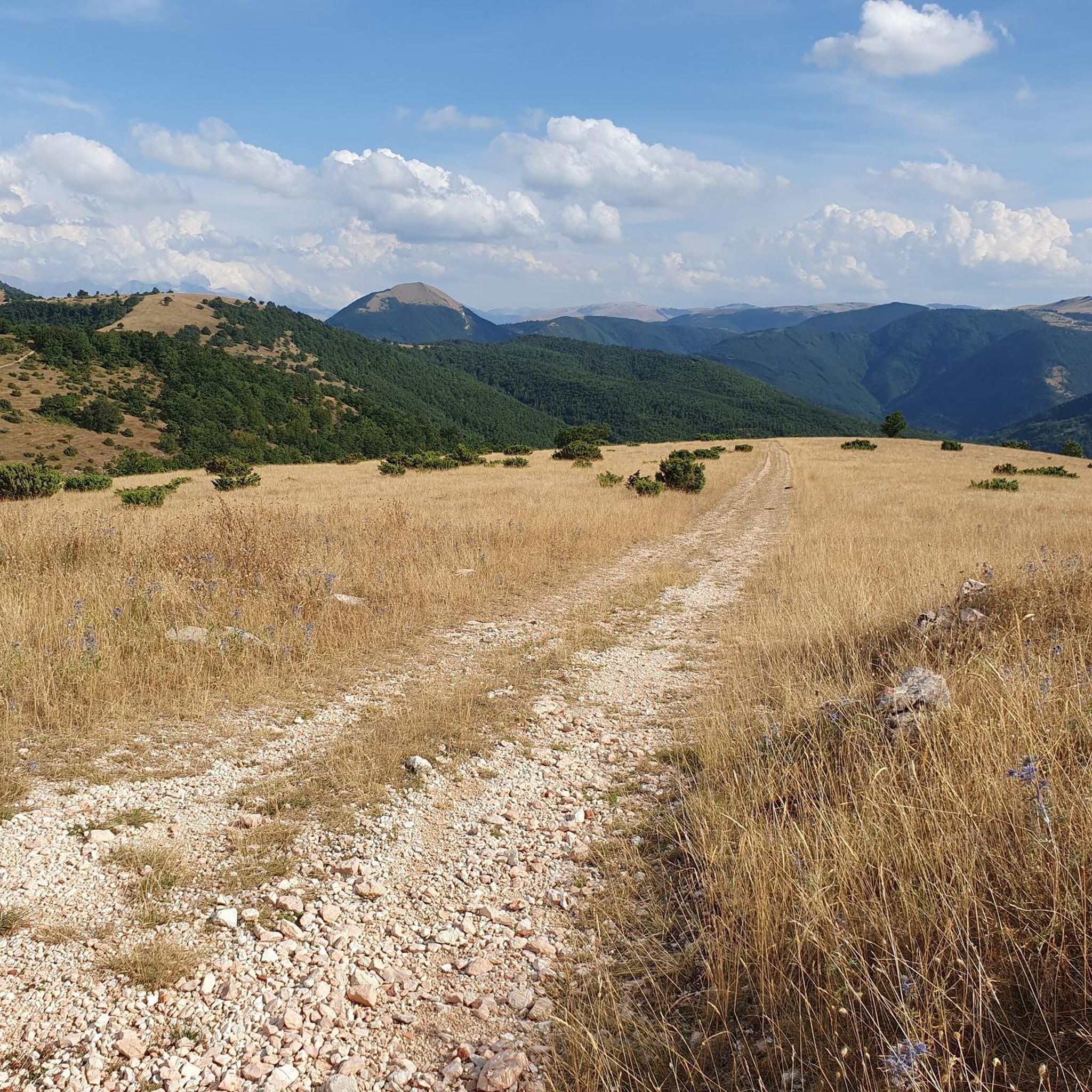
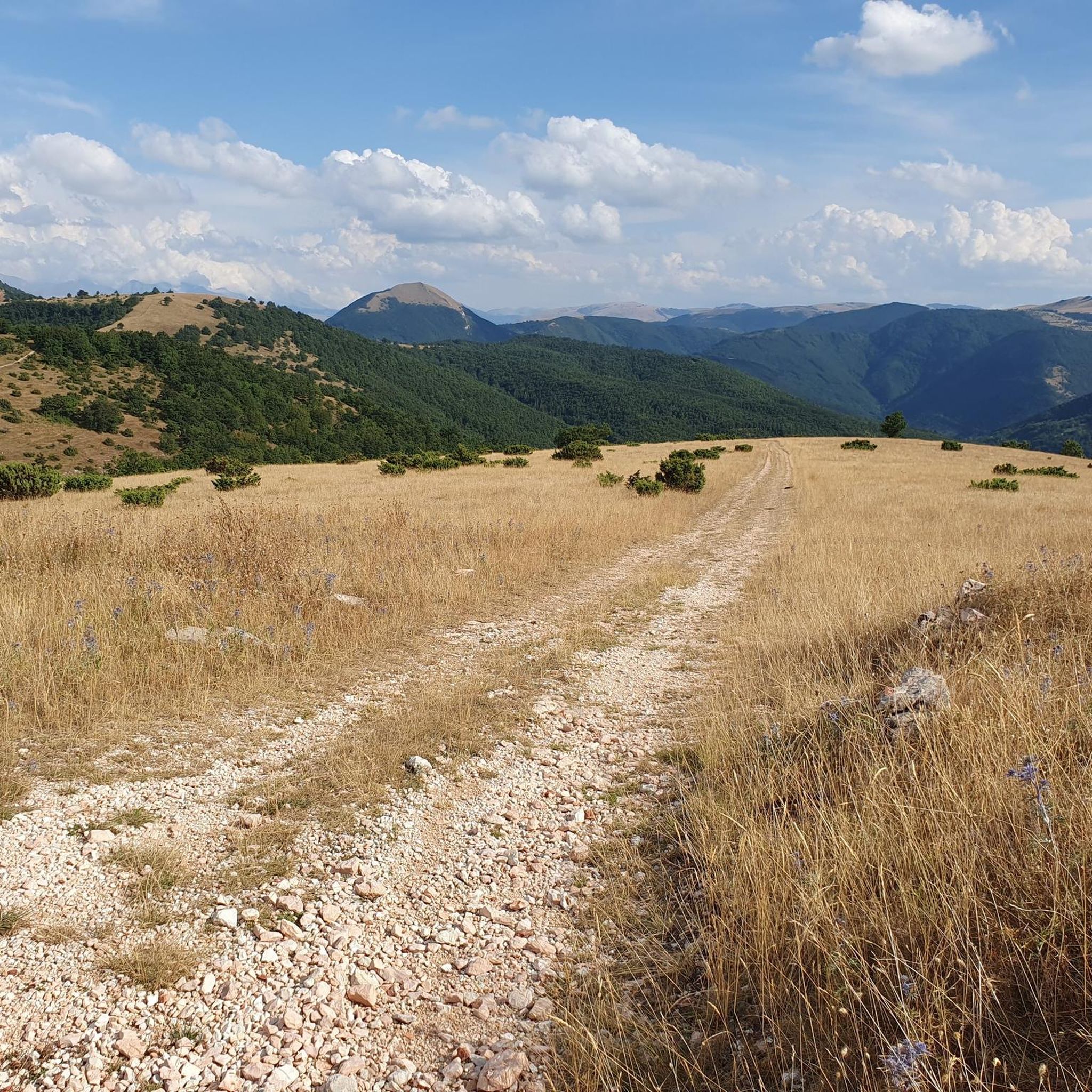
Gravel route to Croce di Pale
Highlight (Segment) • Trail
Translated by Google •
Tip by

Sign up now to discover places like this
Get recommendations on the best single tracks, peaks, & plenty of other exciting outdoor places.
Sign up for free
Monte Primo Ridge Trail
Highlight • Trail
Translated by Google •
Tip by

Monte Igno
Highlight • Summit
Translated by Google •
Tip by

Monte Burella
Highlight • Summit
Translated by Google •
Tip by
Sign up for free to discover even more peaks around Serravalle Di Chienti.
Sign up for free
Already have an account?
Start today with a free account
Your next adventure awaits.
Login or Signup

Tips from the Community


Fantastic Colfiorito pass, the old road with almost no cars.
0
0

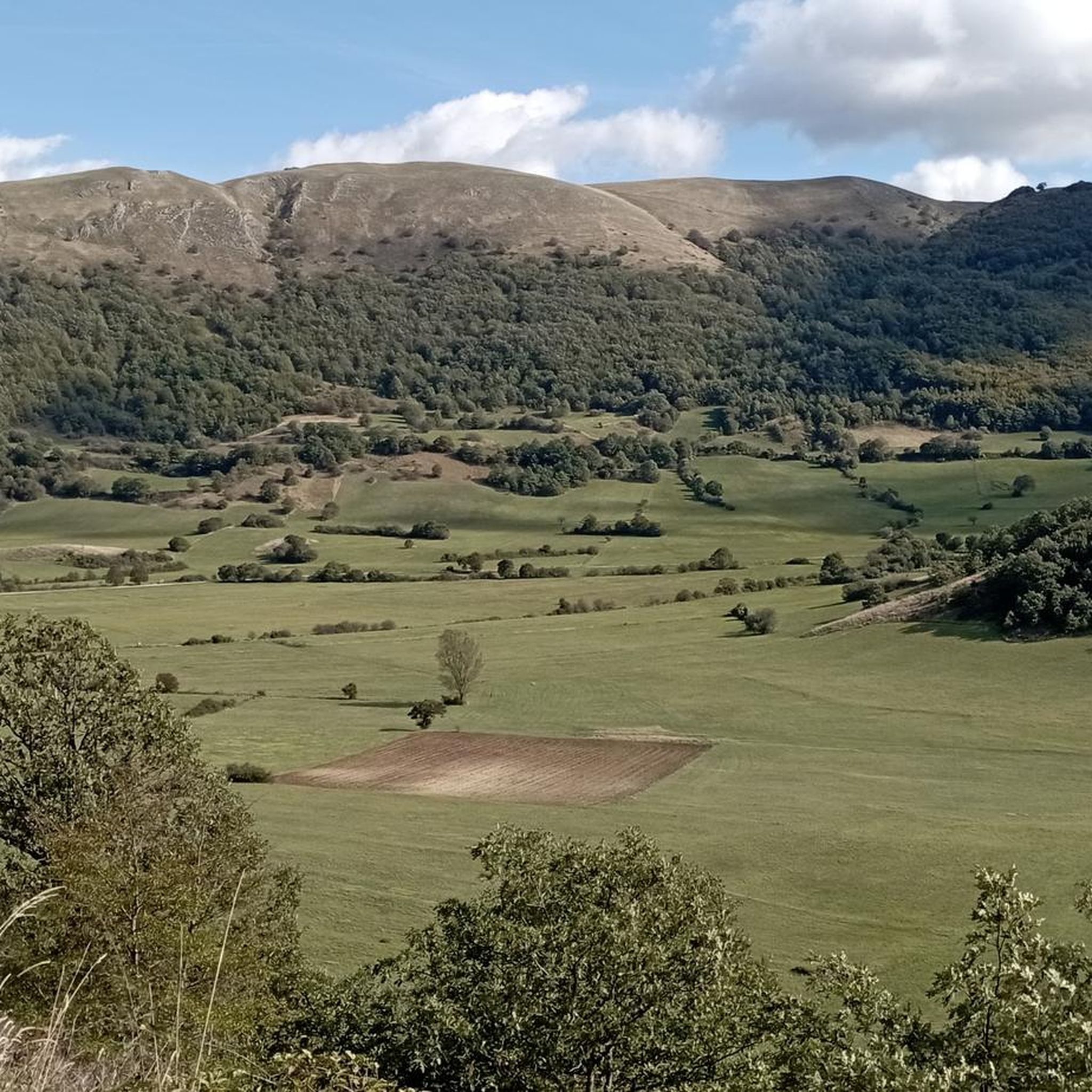
Peak of historical importance, archaeological discoveries of the Piceni. Sacred mountain
1
0

colfiorito cesi fematre forcella riofreddo.. the most beautiful place in the Marche
0
0

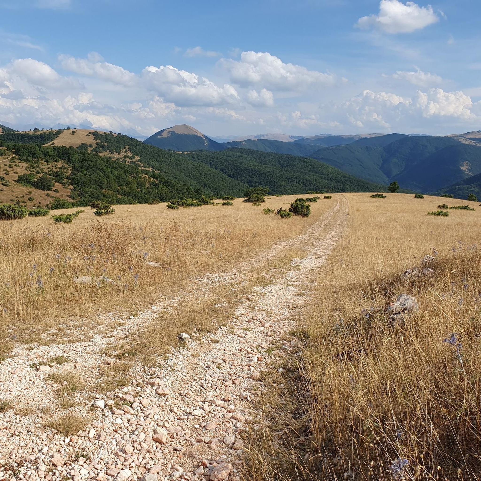
It is the easiest route to reach the top of Sasso di Pale and its Cross, practically absent vehicular traffic
0
0

"Obligatory" stopping point at 826 meters above sea level before starting the descent along the beautiful SS77 road, now with low traffic after the construction of the VARSS77 highway
0
0

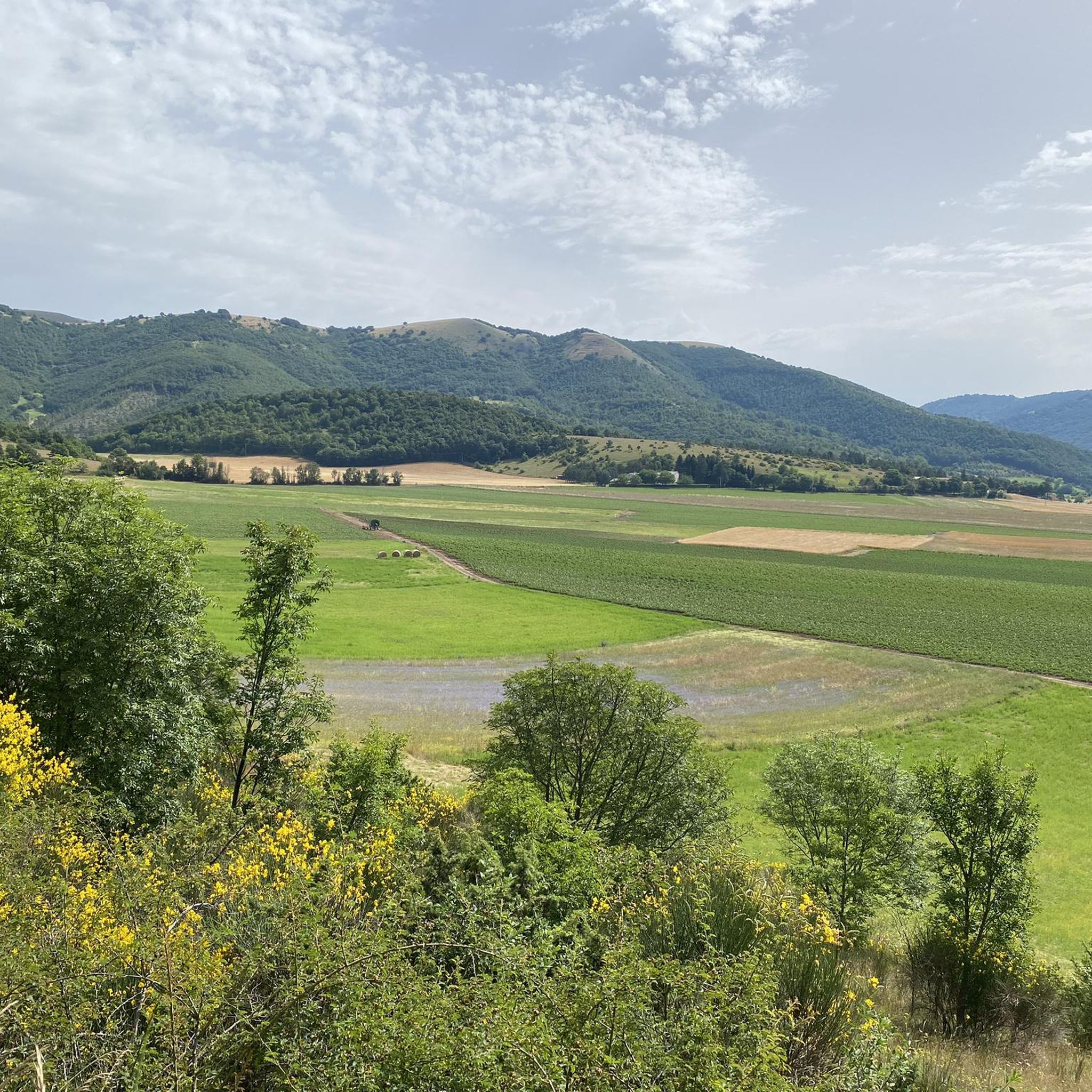
The Colfiorito pass along the old SS77 of the Val di Chienti is located at more than 800 meters above sea level between the towns of Foligno and Serravalle di Chienti. The area is known for a large marshy plain, home to the Colfiorito Regional Park, which is home to a rich flora and fauna.
2
0

Monte Igno is located at 1435 meters, and from here it is possible to see the highlands of Colfiorito, Monte Subasio and the Adriatic.
1
0
Frequently Asked Questions
What are some popular mountain peaks and viewpoints in the Serravalle Di Chienti area?
The region offers several notable peaks and viewpoints. The Gravel route to Croce di Pale provides an accessible path to the top of Sasso di Pale. For expansive views, Monte Igno (1435 meters) offers panoramas of the Colfiorito highlands, Monte Subasio, and the Adriatic Sea. Another excellent viewpoint is Monte Burella, which provides views of the Topino River valley.
Are there any mountain peaks with historical significance around Serravalle Di Chienti?
Yes, Monte Primo Ridge Trail leads to a peak of historical importance. Archaeological discoveries of the Piceni have been made here, and it is considered a sacred mountain.
What kind of natural features can I expect to see near the mountain peaks?
Beyond the peaks themselves, the area is rich in natural beauty. The Colfiorito Pass is located near a large marshy plain, which is part of the Colfiorito Regional Park, known for its diverse flora and fauna. Monte Burella is situated on the edge of the Monte Alago Special Area of Conservation, with views of the Topino River valley, also a Special Area of Conservation.
Are there easy or beginner-friendly mountain trails in the Serravalle Di Chienti mountains?
For those seeking an easier ascent, the Gravel route to Croce di Pale is considered the easiest way to reach the top of Sasso di Pale. It features an unpaved but compact ground with an average slope of 6.4%, suitable for gravel, MTB, or even touring bikes with caution.
What outdoor activities can I do near these mountain peaks?
The region around Serravalle Di Chienti offers a variety of outdoor activities. You can explore numerous running trails, such as the Montelago Plains Loop or the Montelago Loop Trail, detailed in the Running Trails around Serravalle Di Chienti guide. For cycling enthusiasts, there are dedicated MTB Trails and Road Cycling Routes, including scenic loops like the Basilica of Plestia – Fontana di Silvanum loop for MTB or the Lake Fiastra – Lake Caccamo loop for road cycling.
Are there specific trails suitable for gravel or mountain bikes?
Yes, the Gravel route to Croce di Pale is perfect for gravel or MTB bikes due to its compact, unpaved surface. Additionally, the region features a dedicated guide for MTB Trails around Serravalle Di Chienti, offering various routes like the Panorama over Colfiorito – Monte Pennino loop.
What is the Colfiorito Regional Park, and what can I find there?
The Colfiorito Regional Park is a significant natural area near the Colfiorito Pass. It encompasses a large marshy plain known for its rich flora and fauna, offering many paths for pleasant walks and opportunities to observe nature.
Can I find challenging mountain trails in the Serravalle Di Chienti area?
While specific 'challenging' highlights are not detailed, the region's diverse terrain and various peaks suggest opportunities for more demanding hikes. For instance, some of the longer running or cycling routes mentioned in the Running Trails around Serravalle Di Chienti guide, such as the Junction of Trail 251 and 251a – Piani di Montelago loop, are rated as difficult, indicating that the area can cater to more experienced adventurers.
What do visitors appreciate most about the mountain peaks around Serravalle Di Chienti?
Visitors frequently appreciate the diverse landscapes, from mountainous terrain to marshy plains, and the expansive views offered from summits like Monte Igno. The ease of access to certain peaks, such as the Gravel route to Croce di Pale, and the historical significance of sites like Monte Primo Ridge Trail, are also highly valued.
Are there any specific trails that offer a good mix of views and historical interest?
The Monte Primo Ridge Trail is an excellent choice, leading to the cross on the summit of Monte Primo. This peak is not only a great viewpoint but also holds historical importance due to archaeological discoveries of the Piceni, making it a sacred mountain.
Where can I find information on road cycling routes that include mountain passes?
The Road Cycling Routes around Serravalle Di Chienti guide provides details on various routes, including those that incorporate mountain passes. An example is the Nera Gorges – Colfiorito Pass loop from Muccia, which offers a challenging ride through the region's scenic landscapes.
Most popular routes around Serravalle Di Chienti
Most popular attractions around Serravalle Di Chienti

Get inspired with the komoot mobile app


Explore more
See even more amazing summits around Serravalle Di Chienti with these guides:
