The best road cycling routes around Sondheim vor der Rhön
4.7
(222)
2,024
riders
125
rides
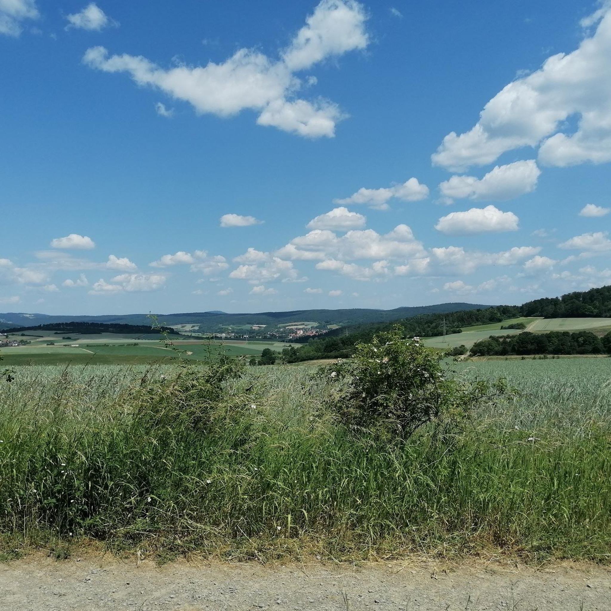
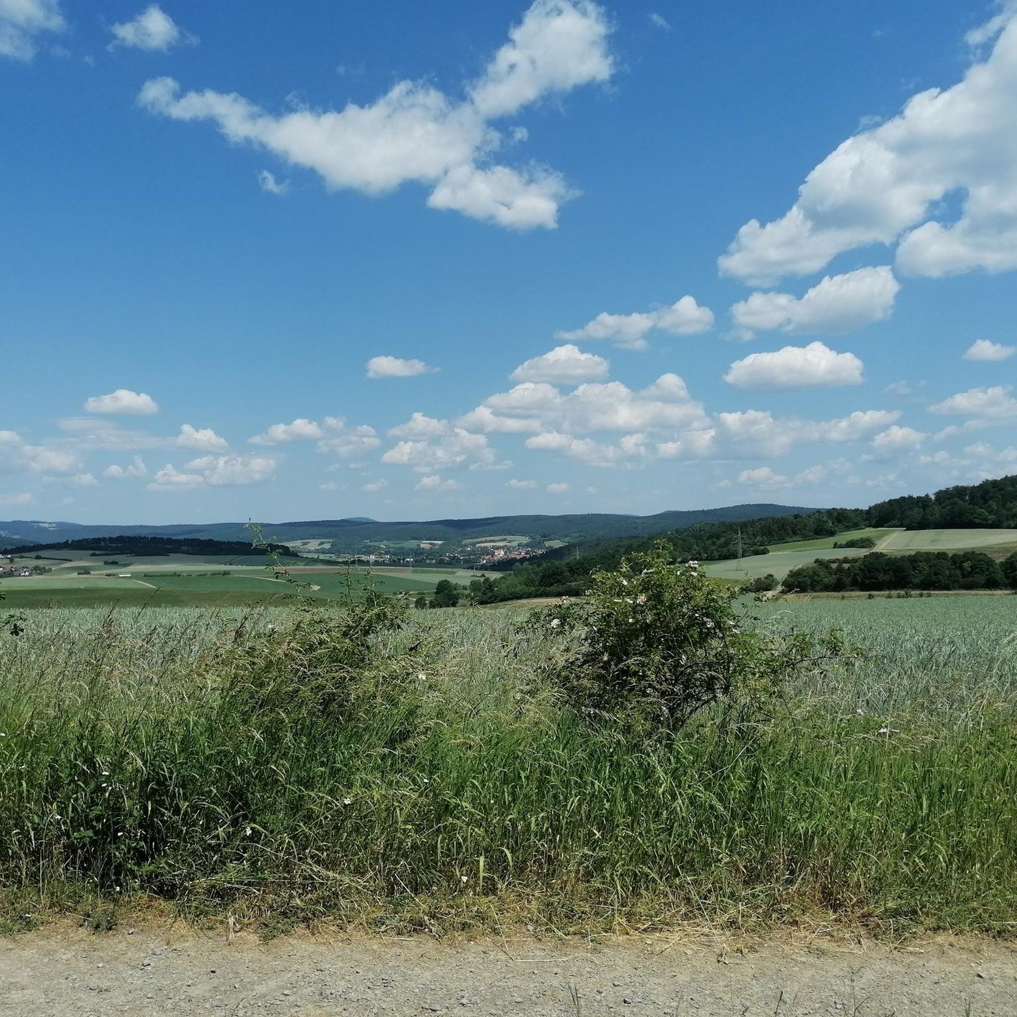
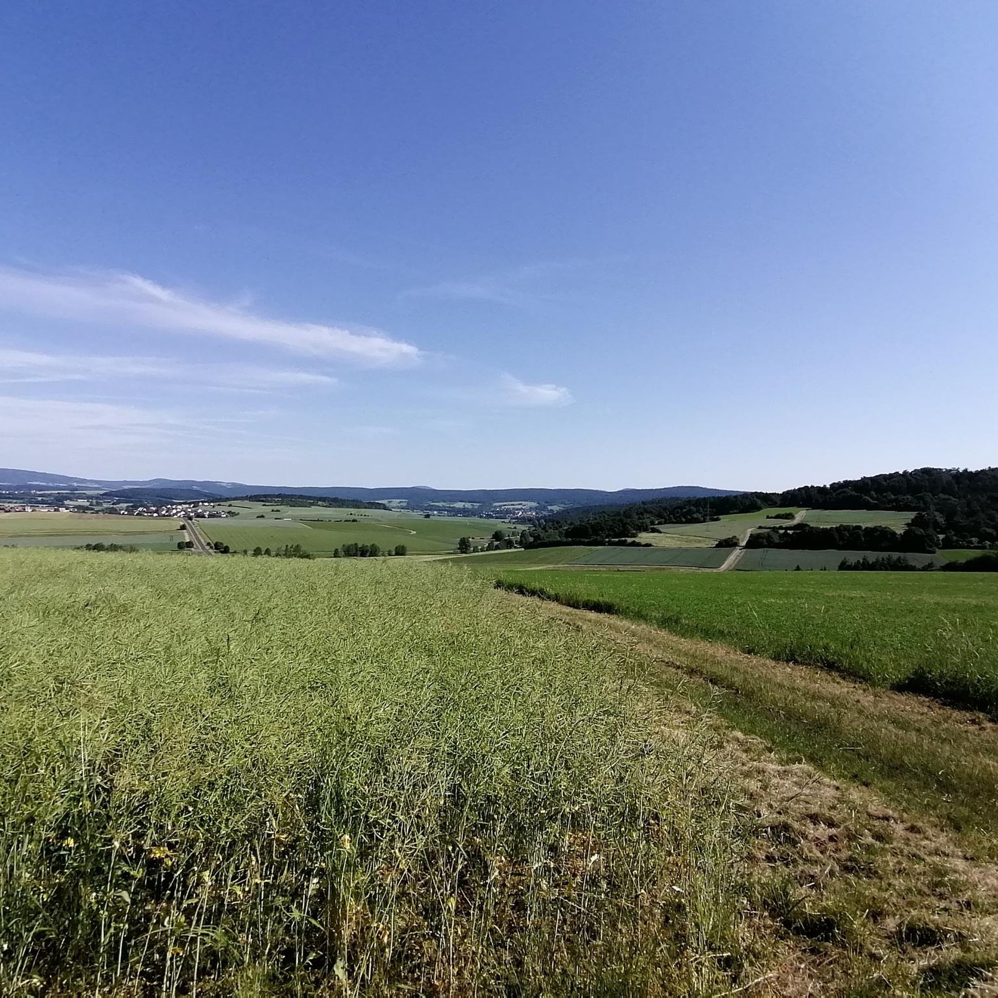
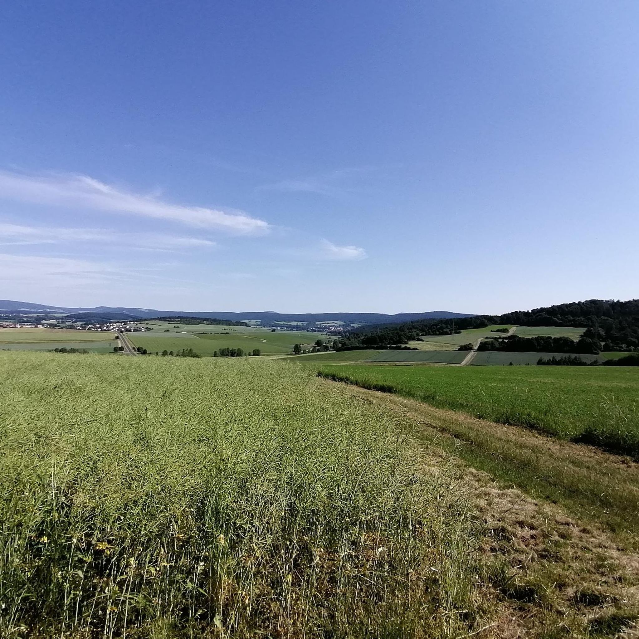
Road cycling around Sondheim vor der Rhön offers a diverse landscape characterized by rolling hills, expansive plateaus, and scenic river valleys within the Rhön Biosphere Reserve. The region features well-maintained roads that wind through forests and open countryside, providing varied terrain for road cyclists. Elevations range from gentle ascents in valleys to more challenging climbs towards prominent peaks like Kreuzberg and Wasserkuppe.
Best road cycling routes around Sondheim vor der Rhön
- The most popular road cycling route is View of…
Last updated: July 5, 2026
4.8
(12)
136
riders
61.5km
02:50
590m
590m
Moderate road ride. Good fitness required. Some segments of this route may be unpaved and difficult to ride.
5.0
(9)
62
riders
46.9km
02:21
730m
730m
Moderate road ride. Good fitness required. Some segments of this route may be unpaved and difficult to ride.

Sign up for free
4.4
(5)
62
riders
Easy road ride. Great for any fitness level. Mostly well-paved surfaces and easy to ride.
11
riders
Moderate road ride. Good fitness required. Mostly well-paved surfaces and easy to ride.
9
riders
50.6km
02:52
1,130m
1,130m
Hard road ride. Very good fitness required. Some segments of this route may be unpaved and difficult to ride.
Get access to more routes and recommendations from other explorers.
Sign up for free
Already have an account?
Our route recommendations are based on thousands of hikes, rides, and runs completed by other people on komoot.
Start today with a free account
Your next adventure awaits.
Login or Signup
Tips from the Community

Since the road surface is no longer the old one, you don't have to be afraid of flying tar patches anymore :-)
0
0

See alpacas Coffee Simonshof, good cakes
0
0

...be sure to take some time for a break in Fladungen! There's a historic railway, a museum, and even a beer garden for a refreshing drink.
0
0
Oll Oll Oll Oll Oll oll oll ä Pop Pop LOL Oll LOL LOL LOL LOL LOL Oll Oll p ö Oll Oll Mol Oll LL LL LL LOL komm l p
0
2

At 950 meters, the Wasserkuppe is the highest mountain in Hesse and the symbol of the Rhön Mountains. Up here, you can feel the freedom, as the Wasserkuppe is considered the cradle of gliding – pilots have been taking to the skies here for over 100 years. But it's not just aviators who enjoy it: In summer, you can hike or cycle across vast plateaus with magnificent views, while in winter, ski lifts, cross-country ski trails, and toboggan runs beckon. Around the summit, you'll find the Aviation Memorial, the Gliding Museum, and numerous places to stop for refreshments. The Wasserkuppe is located in the heart of the Hessian Rhön Nature Park, which, with its open highlands, beech forests, and species-rich meadows, is a paradise for nature lovers. Here, you can explore the unique landscape on premium hiking trails like the Hochrhöner or on nature trails. The nature park also boasts star parks, rare animals like the red kite and the wildcat, and botanical treasures like gentian and orchids.
2
0

("Green Classroom") 72 beds - school camp & seminar house in the middle of the UNSECO Rhön Biosphere Reserve! The state-of-the-art conference center for education for sustainable development in the heart of the market town of Oberelsbach is a place of learning and a starting point for school trips, excursions and seminars.
0
0

Gladly accepted hiking parking lot including lots of maps on the wooden wall for orientation
14
0

This descent from the Hochrhön to Bischofsheim, or vice versa, is a tough climb, and is characterized by a good surface that you can really roll on. However, you should definitely keep an eye on the hairpin bend as there is a gravel pit there, which means that there is often sand or gravel or stones on the road in the bend!
0
0
Frequently Asked Questions
What kind of terrain can I expect when road cycling around Sondheim vor der Rhön?
The region offers a diverse landscape with rolling hills, expansive plateaus, and scenic river valleys within the Rhön Biosphere Reserve. You'll find well-maintained roads winding through forests and open countryside, with elevations ranging from gentle ascents to more challenging climbs towards peaks like Kreuzberg and Wasserkuppe.
Are there road cycling routes suitable for beginners in Sondheim vor der Rhön?
Yes, Sondheim vor der Rhön offers several easy road cycling routes. For example, the Fladungen–Heufurt Cycle Path – Historic centre of Fladungen loop from Stetten is an easy 43.7 km (27.1 miles) trail that takes you through the historic center of Fladungen.
How many road cycling routes are available in the Sondheim vor der Rhön area?
There are over 130 road cycling routes available around Sondheim vor der Rhön, catering to various skill levels. This includes 9 easy, 85 moderate, and 37 difficult routes.
What are some challenging road cycling routes for experienced riders?
For experienced riders seeking a challenge, routes like the Fulda Spring – Wasserkuppe Summit loop from Stetten offer significant climbs. This difficult route covers 48.3 km (30 miles) and includes over 1,000 meters of elevation gain, taking you towards the Wasserkuppe summit.
Can I find routes with panoramic views in Sondheim vor der Rhön?
Absolutely. Many routes offer stunning panoramic views. The Hochrhönstraße – View of Kreuzberg loop from Hausen, for instance, includes sections of the Hochrhönstraße, providing expansive vistas of the surrounding Rhön landscape and views of Kreuzberg.
Are there any circular road cycling routes in the region?
Yes, many of the road cycling routes around Sondheim vor der Rhön are designed as loops. Examples include the View of Kreuzberg – Cycle Path in the Elstal Valley loop from Hausen and the Franzosenweg Hochrhön – Historic centre of Fladungen loop from Ostheimer Warte, allowing you to start and end at the same point.
What do other road cyclists say about the routes in Sondheim vor der Rhön?
The road cycling routes in Sondheim vor der Rhön are highly rated by the komoot community, with an average score of 4.7 stars from over 200 reviews. Cyclists often praise the varied terrain, well-maintained roads, and the scenic beauty of the Rhön Biosphere Reserve.
What natural attractions can I see along the road cycling routes?
While cycling, you can explore various natural attractions. Highlights include the Boardwalk Trail Through the Rotes Moor, the Moor lake in the Red Moor, and the Schwarzes Moor Nature Trail. These offer unique insights into the region's diverse ecosystems.
Are there any observation towers or viewpoints accessible by road bike?
Yes, the region features several observation points. You can find the Rother Kuppe Observation Tower and the Noah's Segel Observation Tower on the Ellenbogen, which offer excellent views and can often be incorporated into your road cycling routes.
What is the best time of year for road cycling in Sondheim vor der Rhön?
The Rhön region is generally best for road cycling from late spring through early autumn (May to October). During these months, the weather is typically mild, and the landscapes are vibrant, offering ideal conditions for exploring the rolling hills and valleys.
Are there any historical sites or cultural landmarks to discover while cycling?
Yes, some routes pass through or near historical areas. For example, the Fladungen–Heufurt Cycle Path – Historic centre of Fladungen loop from Stetten leads you through the historic center of Fladungen, allowing you to combine your ride with a cultural experience.
Most popular routes around Sondheim vor der Rhön
Most popular attractions around Sondheim vor der Rhön

Get inspired with the komoot mobile app


Explore more
Browse the best Road cycling routes in other regions.
