The best road cycling routes around Verolavecchia
4.3
(62)
2,356
riders
219
rides
Road cycling routes around Verolavecchia are characterized by a diverse landscape, featuring riverine environments, extensive woodlands, and historical sites. The region, situated in the province of Brescia, Italy, offers a mix of well-maintained cycle paths and varied terrain suitable for road cyclists. Notable features include the Oglio River Greenway and the Strone River Park, providing scenic routes with gentle elevation changes. The area's infrastructure supports both leisurely rides and longer excursions on asphalt surfaces.
Best road cycling routes around Verolavecchia
…Last updated: August 25, 2026
128
riders
50.1km
02:03
150m
150m
Moderate road ride. Good fitness required. Mostly well-paved surfaces and easy to ride.
9
riders
25.4km
01:22
40m
40m
Moderate road ride. Great for any fitness level. Some segments of this route may be unpaved and difficult to ride.

Sign up for free
8
riders
44.0km
01:49
70m
70m
Easy road ride. Great for any fitness level. Mostly well-paved surfaces and easy to ride.
4.0
(1)
8
riders
Easy road ride. Great for any fitness level. Mostly well-paved surfaces and easy to ride.
7
riders
Easy road ride. Great for any fitness level. Mostly well-paved surfaces and easy to ride.
Get access to more routes and recommendations from other explorers.
Sign up for free
Already have an account?
Our route recommendations are based on thousands of hikes, rides, and runs completed by other people on komoot.
Start today with a free account
Your next adventure awaits.
Login or Signup
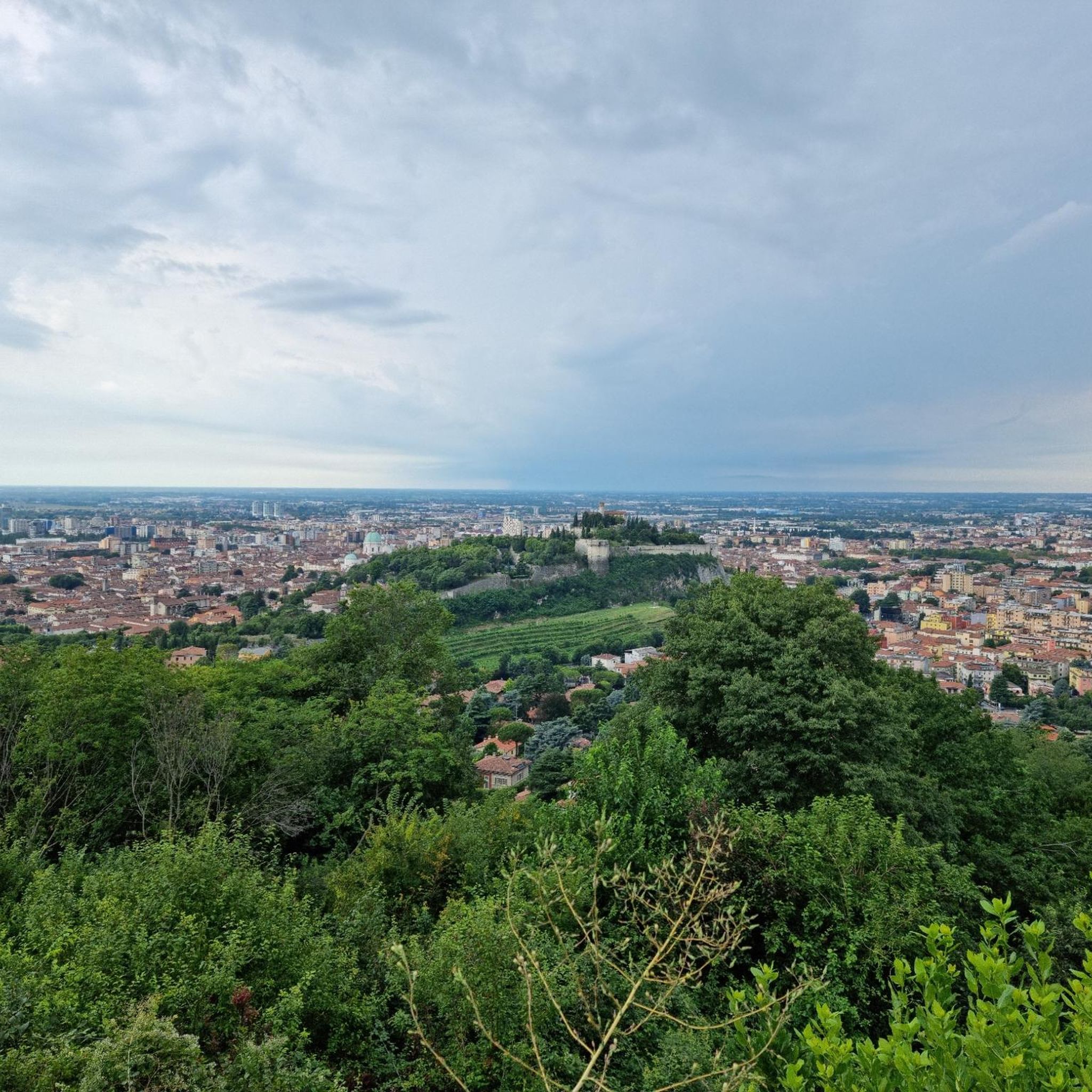
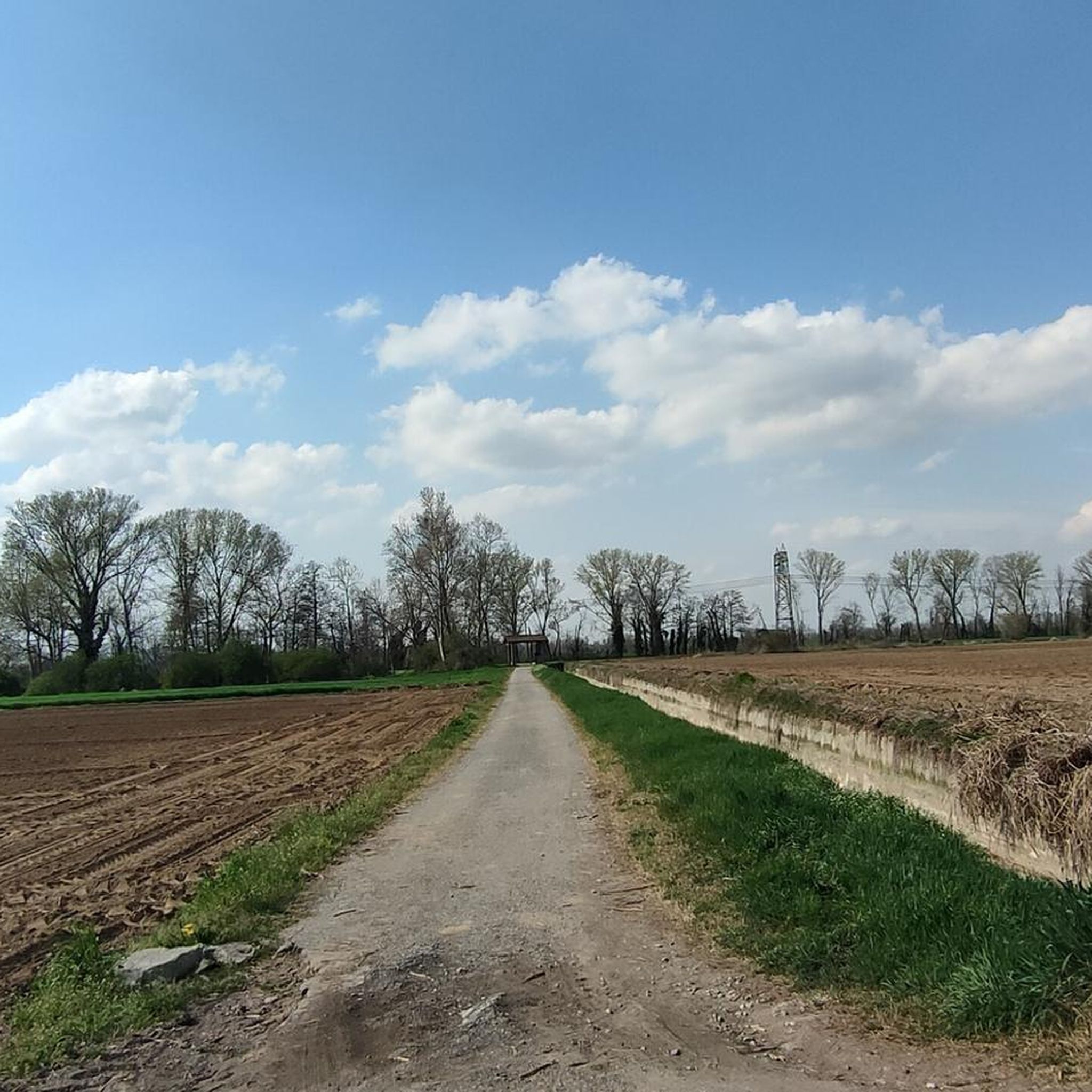
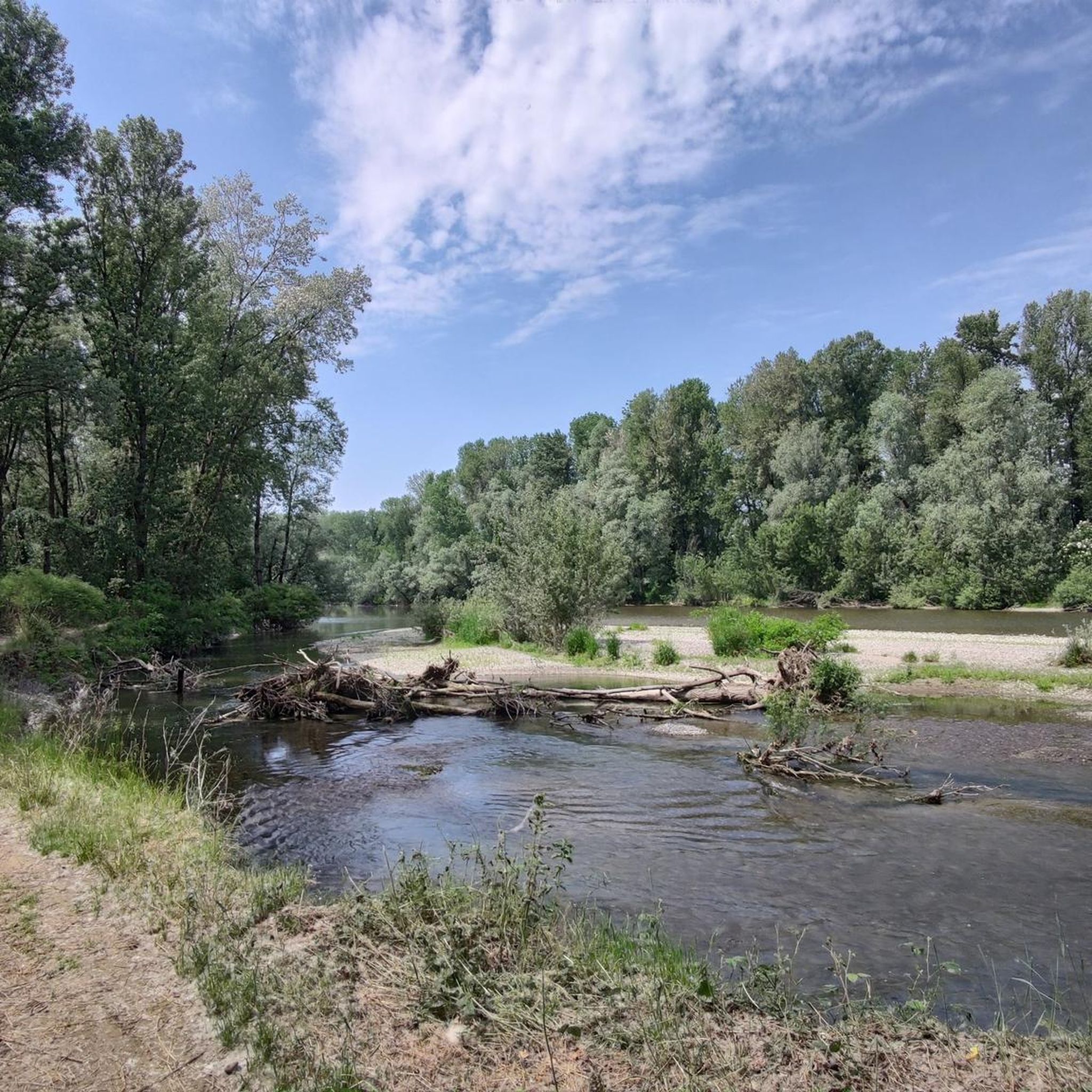


Tips from the Community

Pontevico is an Italian municipality of about 7,150 inhabitants located at the southern end of the province of Brescia, in Lombardy. The village stands in a historically strategic position along the Oglio river, which marks the natural border with the province of Cremona. The name derives from the Latin Pons Vici, which literally means "bridge of the village". The municipal territory is predominantly flat and includes the hamlets of Bettegno, Campazzo, Chiesuola and Toro. Local economy is historically divided between a strong agricultural vocation and an industrial textile development linked to the Bassa Bresciana district. The center is about 32 kilometers from the provincial capital Brescia and is easily reachable by car via the A21 motorway or by the Brescia-Cremona railway line.
0
0


Penultimate stage of the Oglio cycle path
0
0
Beautiful bell tower that stands out with its white twin of Pontevico
0
0

The square of Orzinuovi is beautiful but the recently arranged gardens are also very beautiful
0
0

A town of about 12,500 inhabitants in the province of Brescia, located between the Oglio and Mella rivers, the fortified village of Orzinuovi has been known since 1193. Today, among the things that remain from the military citadel built by the Venetian Republic centuries ago, there is above all the fortress of San Giorgio.
0
0

Robecco d'Oglio is located in the Oglio valley, has Roman origins and was an important border junction between Cremona and Brescia. Among its monuments are the tower, the church of Saints Giuseppe and Biagio, the Villa Barni della Scala and the remains of the Monasterolo tower. The train station is very convenient and allows you to reach the numerous cycle routes in the area.
1
0
Pontevico is a municipality in the province of Brescia on the left bank of the Oglio river. From the bridge you have a beautiful view of the river and the castle of Pontevico, and several cycle routes pass through here, including the Oglio cycle route, the Mello cycle route, and the section connecting Brescia and Cremona.
1
0
Frequently Asked Questions
How many road cycling routes are available around Verolavecchia?
There are 12 dedicated road cycling routes around Verolavecchia, offering a variety of experiences. These include 7 easy routes and 5 moderate routes, ensuring options for different skill levels.
What kind of terrain can I expect on road cycling routes in Verolavecchia?
Road cycling routes in Verolavecchia primarily feature well-maintained asphalt surfaces, traversing diverse landscapes. You'll encounter riverine environments, green meadows, and extensive woodlands, with generally gentle elevation changes across the flat plains of the region.
What scenic attractions can I see along the road cycling routes?
Many routes offer picturesque views and pass by notable natural features. You can explore areas like the Oglio River near Pontevico, the serene Strone River Park, and the enchanting Bosco del Lusignolo, known for its centuries-old trees and tranquil atmosphere.
Are there historical landmarks to explore while cycling?
Yes, several routes incorporate historical sites. You can cycle past the impressive Padernello Castle, a 14th-century rural village, and the Martinengo Castle-Palace of Villagana. The Padernello Castle – Martinengo Castle loop from Verolavecchia is a great option for this.
Are there easy road cycling routes suitable for beginners in Verolavecchia?
Absolutely. Verolavecchia offers 7 easy road cycling routes, perfect for beginners or those seeking a relaxed ride. An example is the Pontevico Landmarks – Padernello Castle loop from Verolavecchia, which leads through historical landmarks and open countryside with minimal elevation.
Are there more challenging road cycling options for experienced riders?
While the region is generally flat, there are 5 moderate road cycling routes that offer longer distances and slightly more varied terrain for experienced riders. Routes like the Bridge over the Oglio River – Martinengo Castle loop from Verolavecchia provide a good workout with distances over 50 km.
Can I cycle along the Oglio River Greenway from Verolavecchia?
Yes, the Oglio River Greenway, recognized as "the most beautiful cycle path in Italy," is accessible from the Verolavecchia area. Routes like the Bridge over the Oglio River – Martinengo Castle loop from Verolavecchia feature sections along the Oglio River, allowing you to experience this acclaimed path.
What is the best time of year for road biking in Verolavecchia?
The spring and autumn months are generally ideal for road cycling in Verolavecchia. The weather is typically mild and pleasant, making for comfortable rides through the region's diverse landscapes without the intense heat of summer.
Are there family-friendly road cycling routes in Verolavecchia?
Given the prevalence of easy routes and the generally flat terrain, many of Verolavecchia's road cycling paths are suitable for families. The well-maintained surfaces and scenic riverine environments provide a safe and enjoyable experience for all ages.
What do other cyclists say about road cycling in Verolavecchia?
The road cycling routes around Verolavecchia are highly rated by the komoot community, with an average score of 4.3 stars from over 50 reviews. Cyclists often praise the beautiful riverine paths, green meadows, and the opportunity to explore historical sites like Padernello Castle.
Are there loop road bike routes available in Verolavecchia?
Yes, many of the road cycling routes around Verolavecchia are designed as loops, allowing you to start and finish at the same point. Examples include the Bridge over the Oglio River – Martinengo Castle loop from Verolavecchia and the Palazzo Maggi loop from Verolavecchia.
Where can I find parking for road cycling routes in Verolavecchia?
While specific parking areas for each route are not detailed, Verolavecchia and its surrounding towns generally offer public parking options. It's advisable to check local maps or signage upon arrival in the starting village of your chosen route for convenient parking.
Are there places to stop for refreshments or amenities along the routes?
The region around Verolavecchia is dotted with small towns and villages, providing opportunities for cafe stops, pubs, and other amenities. Especially along popular routes or near historical sites like Padernello Castle, you can often find places to refuel and rest.
Most popular routes around Verolavecchia
Most popular attractions around Verolavecchia

Get inspired with the komoot mobile app


Explore more
Browse the best Road cycling routes in other regions.
