The best walks and hikes around Lotzorai
4.3
(598)
2,825
hikers
21
hikes
Hiking around Lotzorai offers diverse terrain, situated between the mountains of Gennargentu National Park and the Ogliastra sea. The region features a 6-kilometer coastline with sandy beaches, alongside inland marshlands and lagoons formed by the Pramaera and Girasole rivers. Rocky crags and hills provide varied elevation, contributing to a landscape rich in natural features.
Best hiking trails around Lotzorai
- The most popular hiking route is View of Pedra Longa – Pedra Longa Rock Formation loop from Santa Maria Navarrese,…
Last updated: September 28, 2026
4.3
(3)
47
hikers
Easy hike. Great for any fitness level. Easily-accessible paths. Suitable for all skill levels.
5.0
(12)
17
hikers
Easy hike. Great for any fitness level. Easily-accessible paths. Suitable for all skill levels.

4.6
(28)
140
hikers
9.19km
03:25
470m
470m
Moderate hike. Good fitness required. Mostly accessible paths. Sure-footedness required.
4.7
(26)
74
hikers
Hard hike. Very good fitness required. Mostly accessible paths. Sure-footedness required.
4.3
(4)
13
hikers
6.35km
01:37
10m
10m
Easy hike. Great for any fitness level. Easily-accessible paths. Suitable for all skill levels.
Get access to more routes and recommendations from other explorers.
Already have an account?
Our route recommendations are based on thousands of hikes, rides, and runs completed by other people on komoot.
Start today with a free account
Your next adventure awaits.
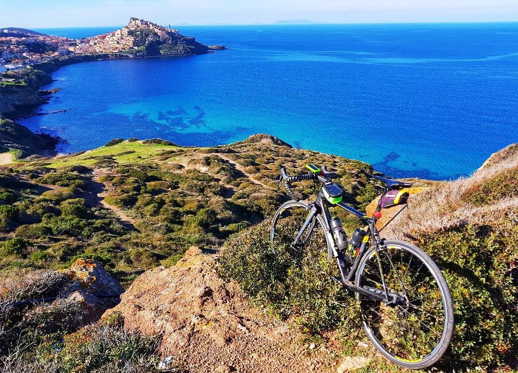
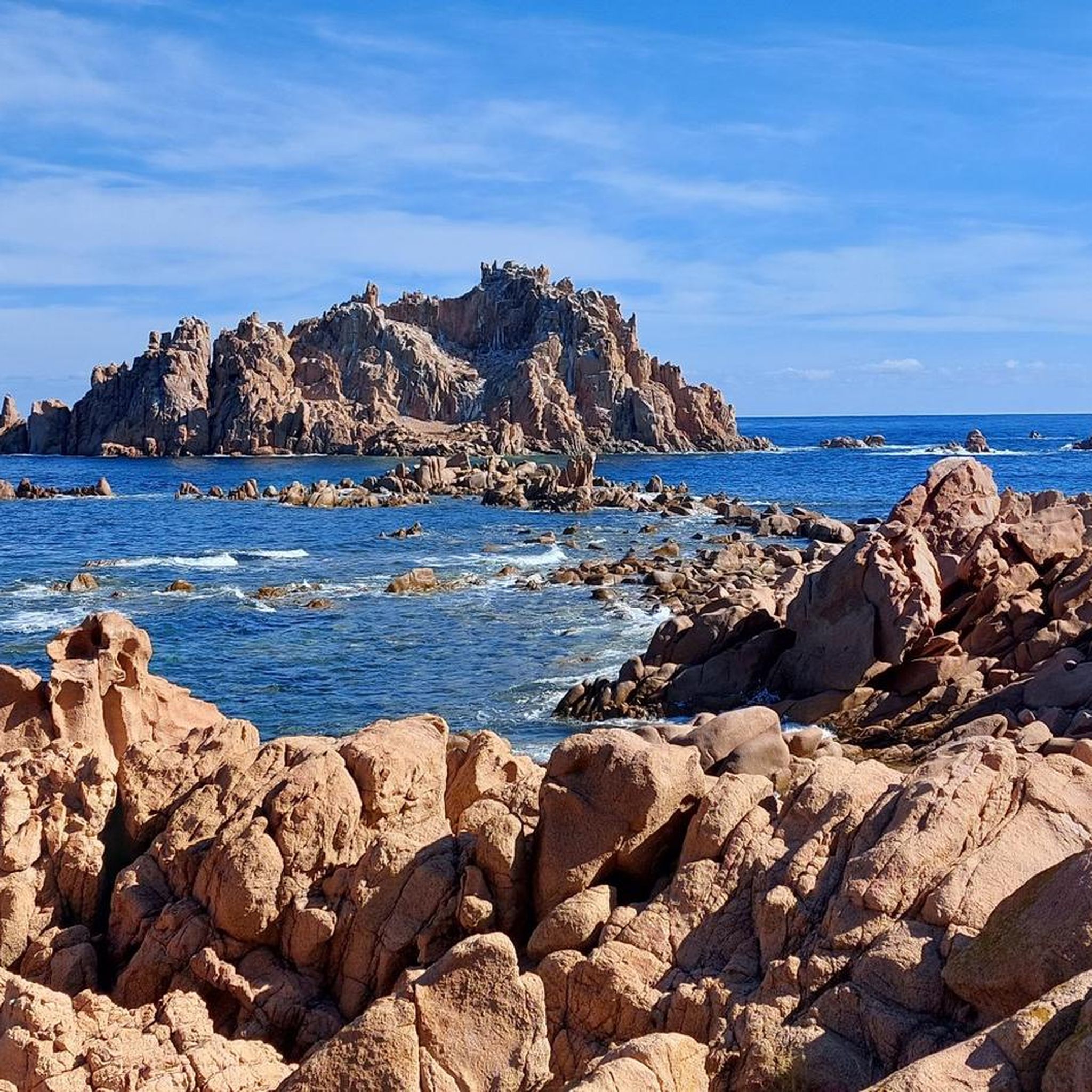
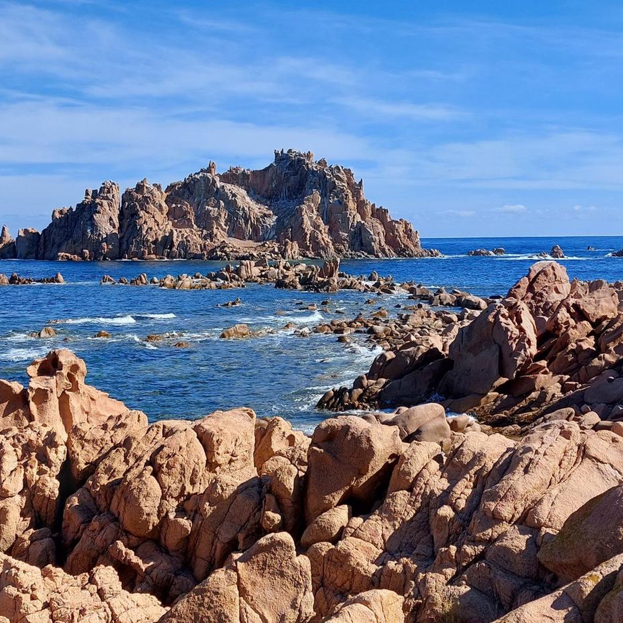
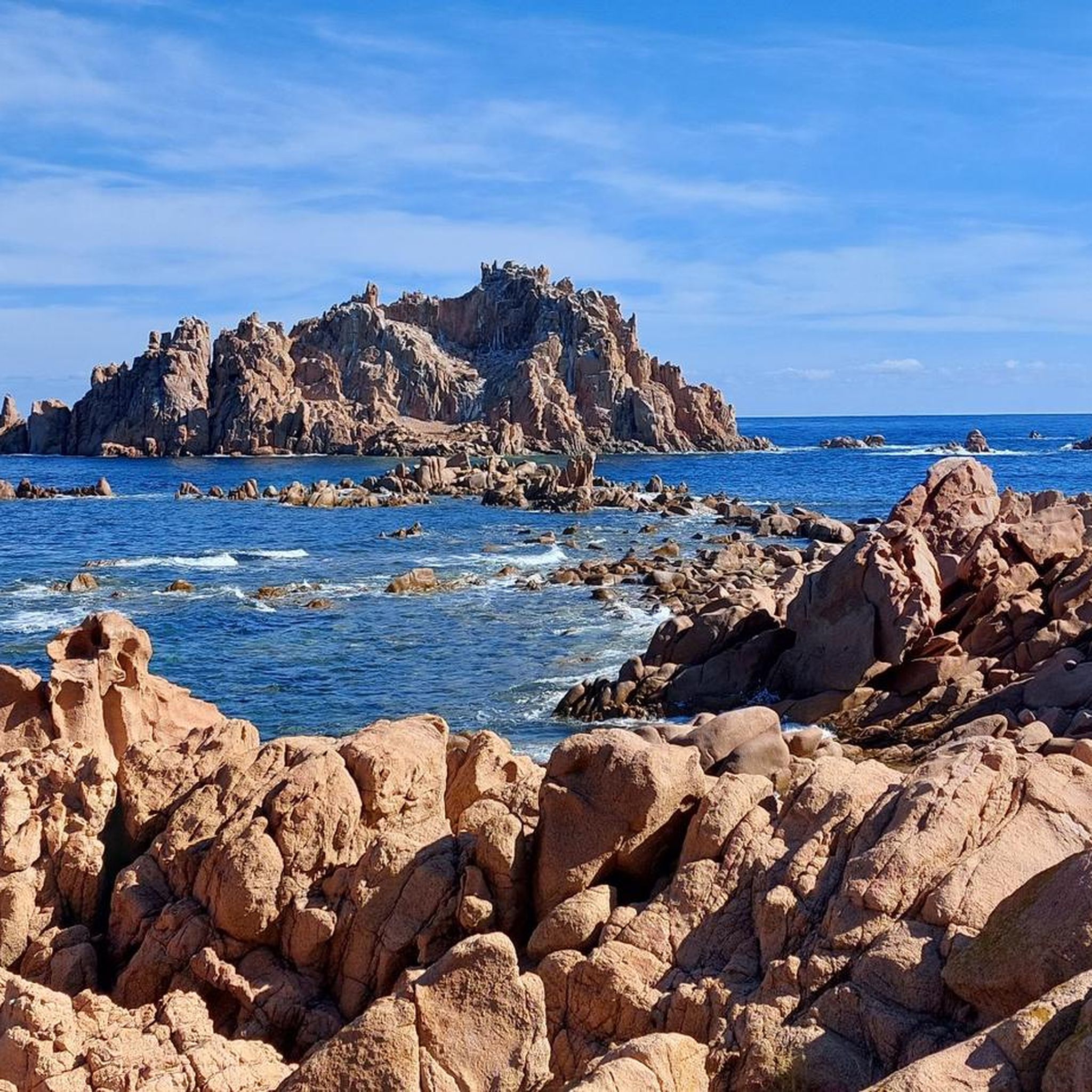

Other adventures around Lotzorai

Tips from the Community


Definitely use the Via Pedra Longa to get to this waypoint and not the path running parallel above it according to Komoot, as it no longer seems to exist.
2
0
This is a 5k route with a 350m ascent. Some places the paths are umpossible to find, so use your phone and gps to find your way. There are quite a few scrambles up the mountain and some of the rocks are very sharp . Good shoes or boots are essential. Fantastic views from the top though.
0
0

After the sea, back to the mountains... worth seeing!
0
0

This small town has two Catholic churches. When we arrived, a funeral service was being held in the first one. Not all the mourners could fit inside, and the younger ones stood outside when the door was open.
2
0

beautiful beach there, very long and with a pine forest
0
0

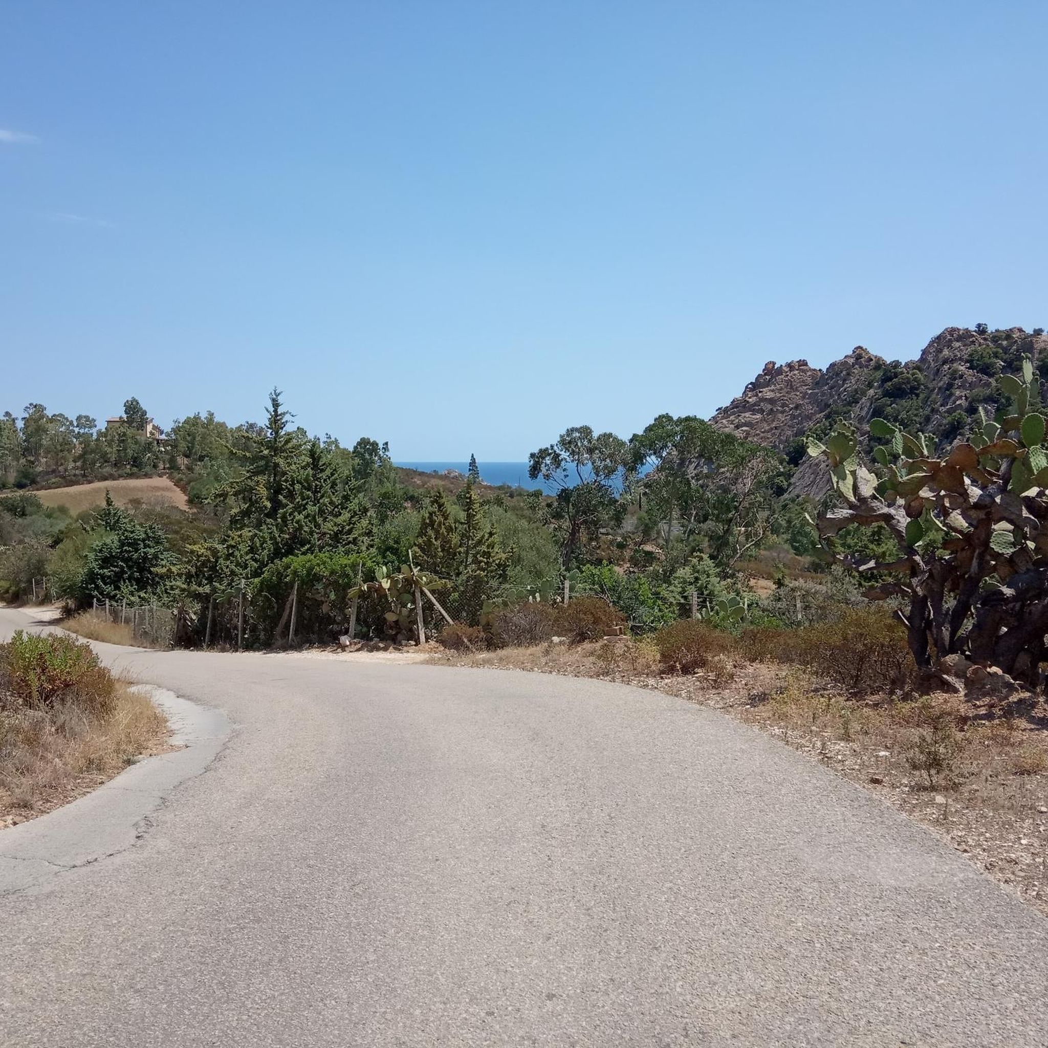
Start of the trail overlooking a fantastic sea
0
0
Frequently Asked Questions
How many hiking trails are available around Lotzorai?
Lotzorai offers a diverse network of nearly 20 hiking trails. These routes cater to various skill levels, ranging from easy coastal strolls to challenging mountain ascents, providing ample opportunities to explore the region's unique blend of sea and mountain landscapes.
What types of terrain can I expect on hikes in Lotzorai?
Hiking in Lotzorai provides a rich variety of terrain. You can explore sandy beaches and coastal paths along the Ogliastra sea, venture into marshlands and lagoons formed by the Pramaera and Girasole rivers, or tackle rocky crags and hills that lead into the mountains of Gennargentu National Park.
Are there any easy, family-friendly hiking options in Lotzorai?
Yes, Lotzorai has several easy routes suitable for families. For instance, the Pedestrian and Cyclist Bridge – Beach of Arbatax loop from Lotzorai is an easy 3.5-mile trail that takes you through coastal areas and beaches, perfect for a relaxed outing. There are 12 easy routes in total to choose from.
What are some challenging hikes in the Lotzorai area?
For experienced hikers seeking a challenge, Lotzorai offers several difficult routes. One notable option is the View of Pedra Longa – Pedra Longa Rock Formation loop from Santa Maria Navarrese, an 11-mile trail with significant elevation gain, offering stunning views of the Pedra Longa rock formation. The region has 4 difficult routes in total.
Can I find circular hiking routes around Lotzorai?
Yes, many of the trails around Lotzorai are circular, allowing you to start and end at the same point. An example is the Santa Maria Novarrese – Pedra Longa Trail Entrance loop from Santa Maria Navarrese, a moderate 3.8-mile path featuring beautiful coastal scenery.
What natural landmarks or viewpoints can I see while hiking near Lotzorai?
Hikers in Lotzorai can encounter several impressive natural landmarks. The iconic Pedra Longa Rock Formation is a prominent feature along the coast, and the striking Arbatax Red Rocks are also easily accessible. For mountain views, consider routes that offer glimpses of Mount Oro.
Are there any historical sites to explore on hikes in Lotzorai?
Beyond natural beauty, Lotzorai's surroundings are rich in history. You can explore ancient Nuraghe dwellings in the woods of Su Padentinu, prehistoric habitations, the romantic ruins of the Castle of Medusa, and the ancient church of Sant'Elena. The Spanish Tower at Santa Maria Navarrese is another notable historical site.
What do other hikers enjoy most about the trails in Lotzorai?
The hiking trails in Lotzorai are highly rated by the komoot community, with an average score of 4.4 stars from over 600 reviews. Hikers frequently praise the diverse landscapes, the stunning coastal views, and the variety of routes that cater to different fitness levels, from easy beach walks to challenging mountain ascents.
What is the best time of year to go hiking in Lotzorai?
Lotzorai is an excellent hiking destination for much of the year. Spring and autumn offer pleasant temperatures ideal for longer treks, while summer provides opportunities to combine hiking with refreshing dips in the sea at places like Moresca Cove. Even in winter, the mild Mediterranean climate can allow for enjoyable walks, especially along the coast.
Are there opportunities for wild swimming near the hiking trails?
Yes, Lotzorai's coastal location means many hiking trails are close to the sea, offering opportunities for wild swimming. The 6 kilometers of beach along the Ogliastra sea provide clear waters and sandy shores. You can also find picturesque spots like Moresca Cove for a refreshing swim after your hike.
Can I find routes that combine coastal and mountain scenery?
Absolutely. Lotzorai's unique position between the Gennargentu National Park mountains and the Ogliastra sea means many routes offer a stunning blend of both. You can start with a coastal walk and gradually ascend into the hills, enjoying panoramic views that encompass both the sparkling Mediterranean and the dramatic inland peaks.
Are there any trails that lead to the famous Selvaggio Blu?
Lotzorai serves as a gateway to sections of the renowned Selvaggio Blu trail, particularly for experienced hikers. This challenging route is known for its significant ascents, technical terrain, and incredible clifftop views, offering an unforgettable adventure for those seeking a demanding multi-day trek.
Most popular attractions around Lotzorai

Get inspired with the komoot mobile app


Explore more
Browse the best Hikes in other regions.
