The best walks and hikes around Àrthana/Arzana
4.4
(2082)
8,637
hikers
190
hikes
Hiking around Àrthana/Arzana provides access to the Gennargentu Massif, including Punta La Marmora, Sardinia's highest peak at 1834 meters. The region features the Piricanis gorge with waterfalls cascading amidst Jurassic walls, and ancient forests like Tedderieddu, home to yew trees and diverse wildlife. Watercourses form transparent lakes and waterfalls, while trails often involve navigating rocky terrain.
Best hiking trails around Àrthana/Arzana
- The most popular hiking route is Pirincanes Gorge Loop, a 9.1 miles (14.7 km) trail that takes 4…
Last updated: September 27, 2026
3.8
(4)
36
hikers
14.7km
04:35
530m
530m
Hike the difficult Pirincanes gorge Ring tour in the Gennargentu Mountains, a 9.1-mile route with 1743 feet of elevation gain.
4.9
(24)
106
hikers
4.64km
01:38
250m
250m
Easy hike. Great for any fitness level. Easily-accessible paths. Suitable for all skill levels.

5.0
(6)
23
hikers
11.4km
03:51
550m
550m
Moderate hike. Good fitness required. Easily-accessible paths. Suitable for all skill levels.
4.7
(10)
36
hikers
Hard hike. Very good fitness required. Mostly accessible paths. Sure-footedness required.
5.0
(1)
12
hikers
Moderate hike. Good fitness required. Mostly accessible paths. Sure-footedness required.
Get access to more routes and recommendations from other explorers.
Already have an account?
Our route recommendations are based on thousands of hikes, rides, and runs completed by other people on komoot.
Start today with a free account
Your next adventure awaits.

Tips from the Community

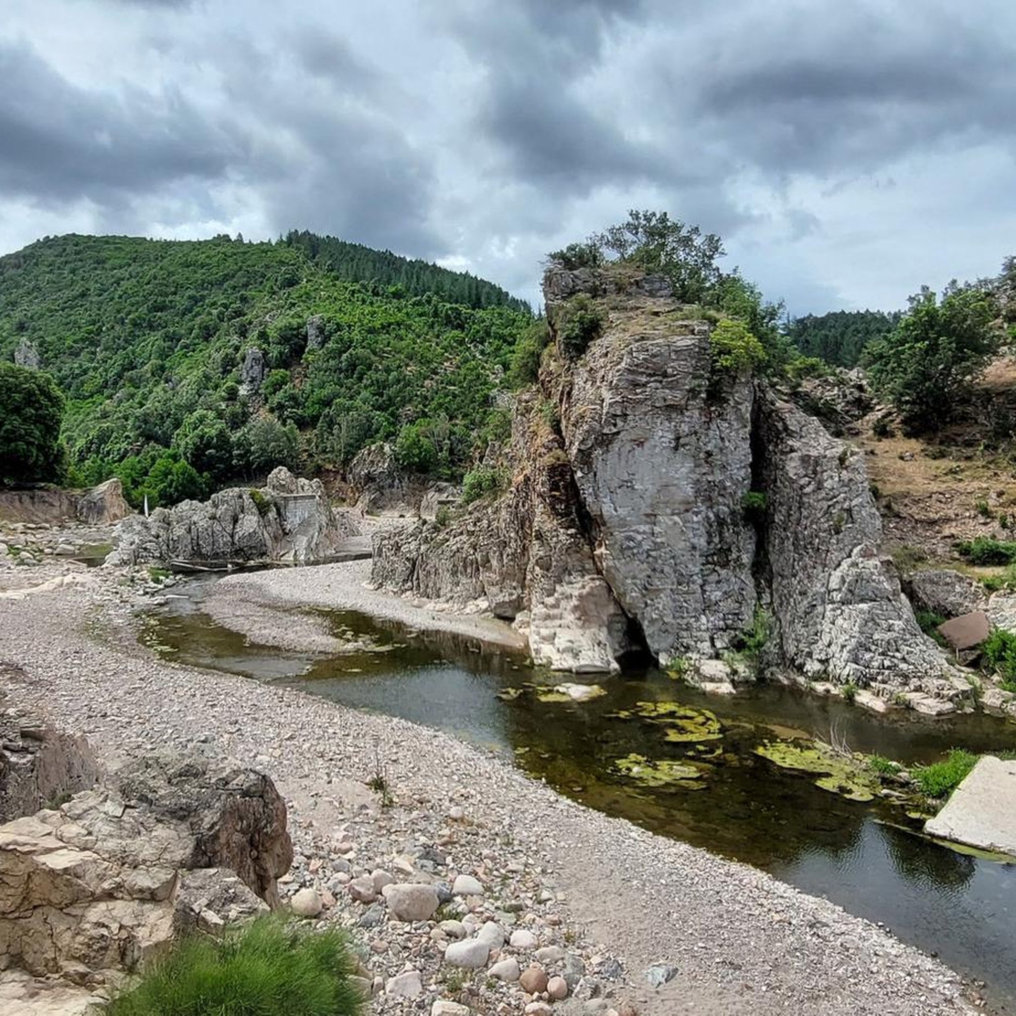
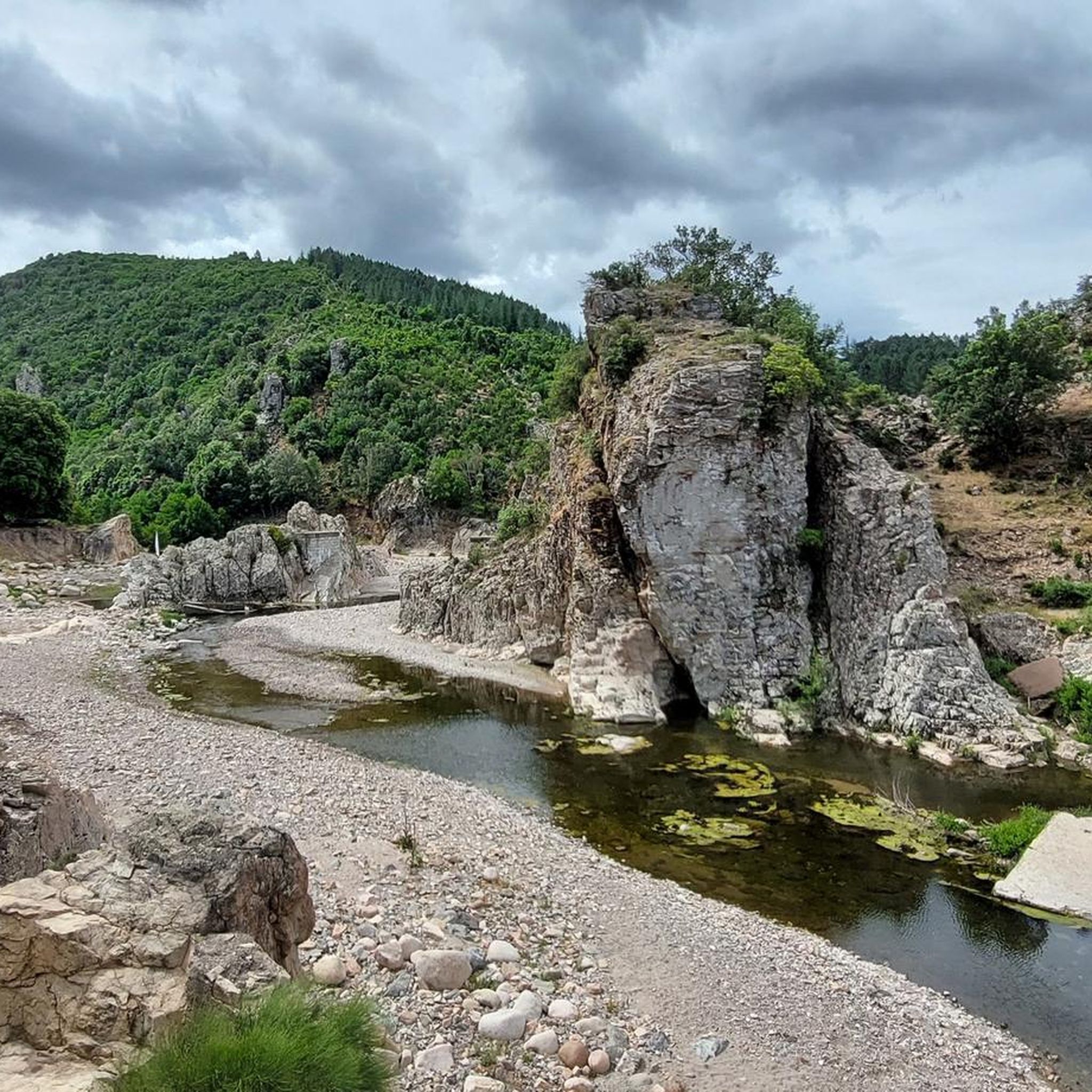
According to Sardinian legends, the rock was considered the "gate to hell", from which the devils emerged dancing at night. This is also the origin of the proverbial expression that someone has "gone to Perdaliana to sell their soul to the devil".
0
0

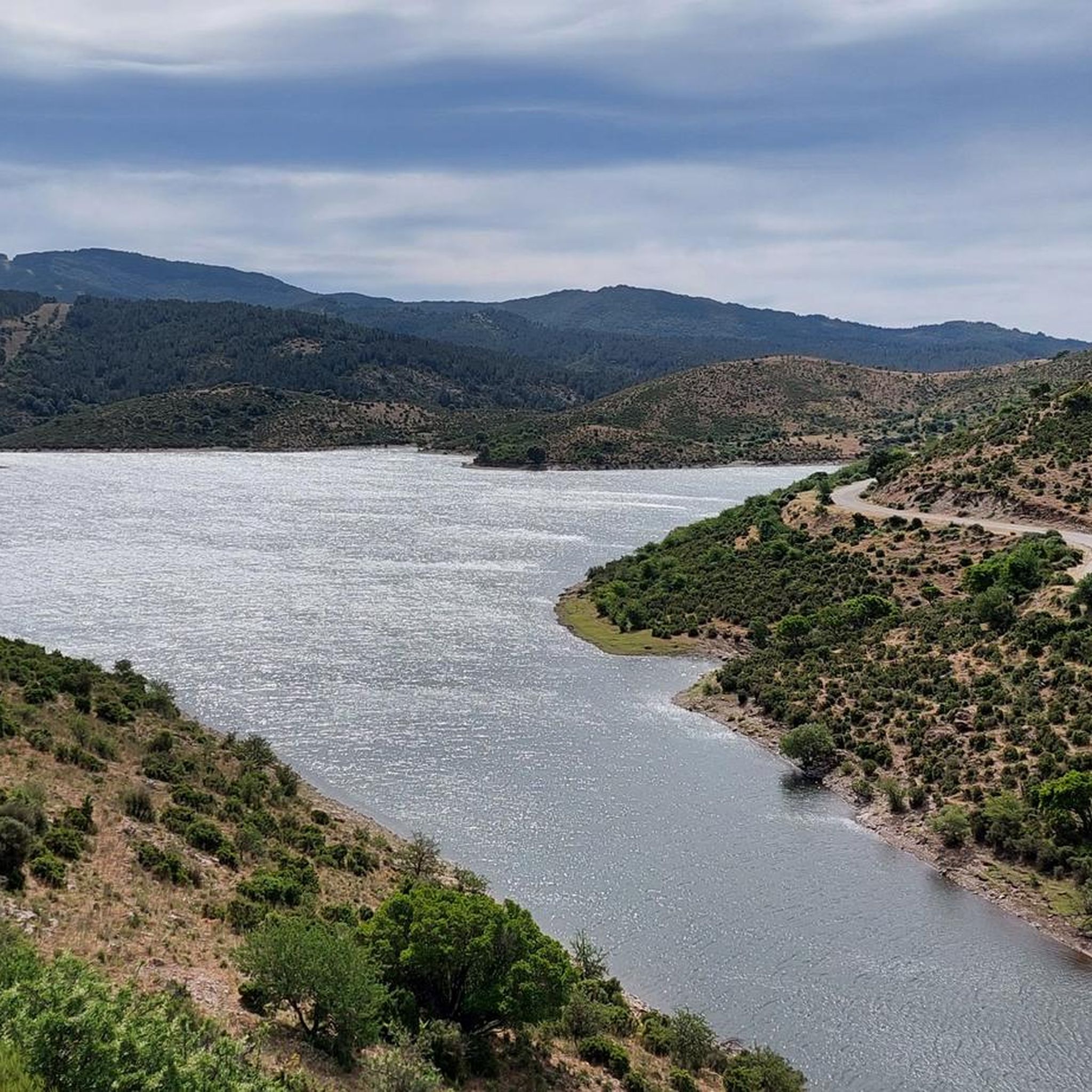
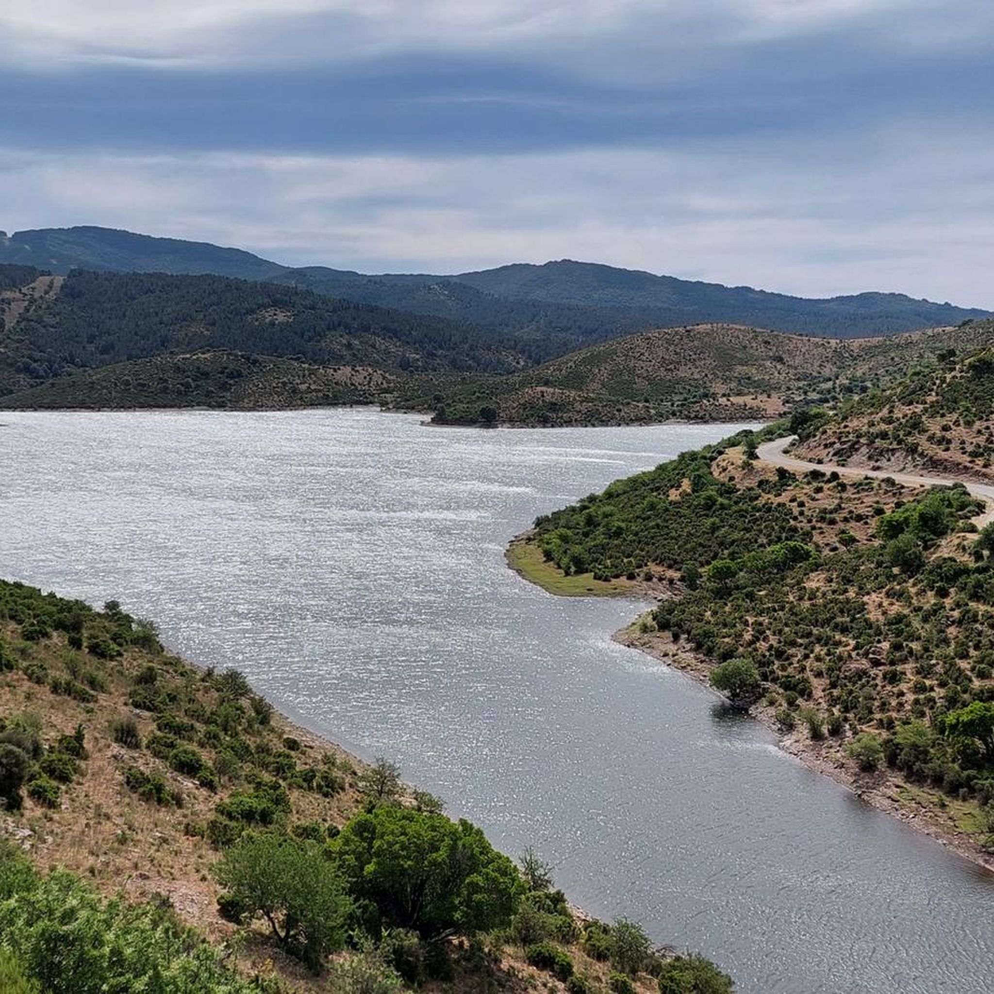
The Monti del Gennargentu form the highest mountain range in Sardinia and the "roof of the island". It is located in the heart of Barbagia. The rugged, rocky mountain world is home to Punta La Marmora (1,834 m), the highest peak in Sardinia, as well as historical Nuragic villages, and offers fantastic hiking opportunities.
1
0

Great view. Beautiful area.
2
0

There's a great view from up here!
0
0
Nice rest area near the parking lot
0
0

The most spectacular heel of all Ogliastra. You can walk around the base through an easy, very suggestive path
1
0

On Monte IDOLO, hikers will not come across a summit cross - as is often the case. The small sacred monument that instead rises above Sardinia is a statue of SAN MICHELE ARCANGELO. The heavenly messenger is equipped with powerful wings, which give him an imposing figure. However, one will look in vain for a sword or a lance, which are often given to him as an attribute.
0
0

Fantastic view over the mountains & the bay of Arbatax
0
0
Frequently Asked Questions
How many hiking trails are available around Àrthana/Arzana?
There are over 170 hiking routes around Àrthana/Arzana, catering to various skill levels. You'll find a good mix of easy strolls, moderate paths, and challenging mountain hikes within the Gennargentu Massif.
Are there any easy hiking trails suitable for beginners or families?
Yes, Àrthana/Arzana offers several easy trails. For a scenic and less strenuous option, consider the View of Punta La Marmora – Spring loop from Cuccuru 'e Mufloni, which is about 4.6 km long and provides beautiful views of Punta La Marmora. Another easy option is the Gorge in Monti del Gennargentu – Pirincanes Waterfall loop from Pirincanis, a 3.5 km route that explores the Pirincanes area.
Can I find circular hiking routes in the Àrthana/Arzana area?
Absolutely. Many trails in the region are designed as loops, offering a convenient way to explore. A popular moderate option is the Hiking loop from Àrthana/Arzana, which starts directly from the town. For a more challenging circular experience, the Pirincanes Gorge Loop takes you through a dramatic canyon.
What kind of natural attractions can I expect to see on the trails?
The region is rich in natural beauty. You can explore the dramatic Piricanis gorge with its cascading waterfalls, such as the Pirincanes Waterfall. The area also features ancient forests like Tedderieddu, home to old yew trees, and numerous watercourses forming transparent lakes. The Gennargentu Massif itself offers stunning mountainous landscapes.
Are there any significant landmarks or viewpoints to visit while hiking?
Yes, the highest point on Sardinia, the Summit of Punta La Marmora, is a major landmark offering panoramic views. You can also find other notable natural monuments like Perda e Liana and the Arbatax Red Rocks nearby. The View of Ulassai and surrounding cliffs provides another excellent vista.
What is the terrain like on hiking trails around Àrthana/Arzana?
The terrain is quite varied, ranging from the mountainous slopes of the Gennargentu Massif to deep gorges and ancient forests. Many trails involve rocky sections, requiring navigation over pebble bottoms and between rocks, offering a rugged and immersive experience in the Sardinian wilderness.
What do other hikers enjoy most about hiking in Àrthana/Arzana?
The area is highly rated by the komoot community, with an average score of 4.4 stars from over 1,700 reviews. Hikers often praise the breathtaking natural beauty, the diverse landscapes from gorges to mountain peaks, and the sense of authentic Sardinian wilderness. The variety of trails for different skill levels is also frequently highlighted.
Are there any historical or archaeological sites accessible via hiking trails?
Yes, the region combines natural beauty with history. The Nuragic village of Ruinas, one of Sardinia's highest Bronze Age settlements, is located at the foot of the Gennargentu. A trekking trail from this site leads north towards Punta La Marmora, allowing hikers to observe ancient sheepfolds and wild animals. Monte Idolo, near Arzana, also holds important Punic-Roman archaeological evidence.
What wildlife might I encounter while hiking in the region?
The ancient forests and undisturbed natural areas around Àrthana/Arzana provide habitat for diverse wildlife. You might encounter mouflons, wild boars, and deer. The watercourses are also home to native species like the Sardinian trout.
Is it possible to reach hiking trailheads using public transport?
While specific public transport options directly to all trailheads can be limited in this rugged region, Àrthana/Arzana itself is a starting point for some routes, such as the Hiking loop from Àrthana/Arzana. For more remote trails, personal transport is generally recommended.
Are there any challenging mountain hikes in the area?
Definitely. The Gennargentu Massif offers demanding routes, including ascents to Punta La Marmora. The Summit of Punta La Marmora – Punta La Marmora loop from Monti del Gennargentu is a difficult 14.8 km trail that provides a rewarding experience with grand views over the island.
What is the best time of year to go hiking in Àrthana/Arzana?
Spring and autumn are generally considered the best times for hiking in Àrthana/Arzana. The weather is milder, and the landscapes are vibrant. Summer can be very hot, especially at lower elevations, while winter can bring snow to the higher peaks of the Gennargentu Massif, making some trails more challenging or inaccessible.
Most popular routes around Àrthana/Arzana
Most popular attractions around Àrthana/Arzana

Get inspired with the komoot mobile app


Explore more
Browse the best Hikes in other regions.
