The best mountain hikes around Pfalzen - Falzes
4.8
(85)
1,159
hikers
54
hikes
Mountaineering routes around Pfalzen - Falzes are set within the Puster Valley Sun Road, offering access to the Zillertal Alps and the Dolomites. The region features a diverse landscape, including prominent peaks like Sambock, Putzenhöhe, and Monte Sommo, alongside alpine pastures and forested areas. Terrain elevation varies significantly, providing a range of experiences from moderate ascents to challenging summit tours with panoramic views.
Best mountaineering routes around Pfalzen - Falzes
- The most popular mountaineering route is Moarhof Alm – Putzenhöhe…
Last updated: September 27, 2026
4.7
(3)
59
hikers
12.0km
04:56
800m
800m
Moderate mountaineering route. Good fitness required. Mostly accessible paths. Sure-footedness required.
4.8
(6)
43
hikers
17.8km
07:22
1,260m
1,260m
Hard mountaineering route. Very good fitness required. Mostly accessible paths. Sure-footedness required.

4.9
(8)
43
hikers
16.4km
06:35
1,150m
1,170m
Hard mountaineering route. Very good fitness required. Sure-footedness, sturdy shoes and alpine experience required.
5.0
(2)
47
hikers
8.89km
03:57
770m
770m
Moderate mountaineering route. Good fitness required. Mostly accessible paths. Sure-footedness required.
5.0
(4)
33
hikers
Hard mountaineering route. Very good fitness required. Mostly accessible paths. Sure-footedness required.
Get access to more routes and recommendations from other explorers.
Already have an account?
Our route recommendations are based on thousands of hikes, rides, and runs completed by other people on komoot.
Start today with a free account
Your next adventure awaits.
Popular around Pfalzen - Falzes
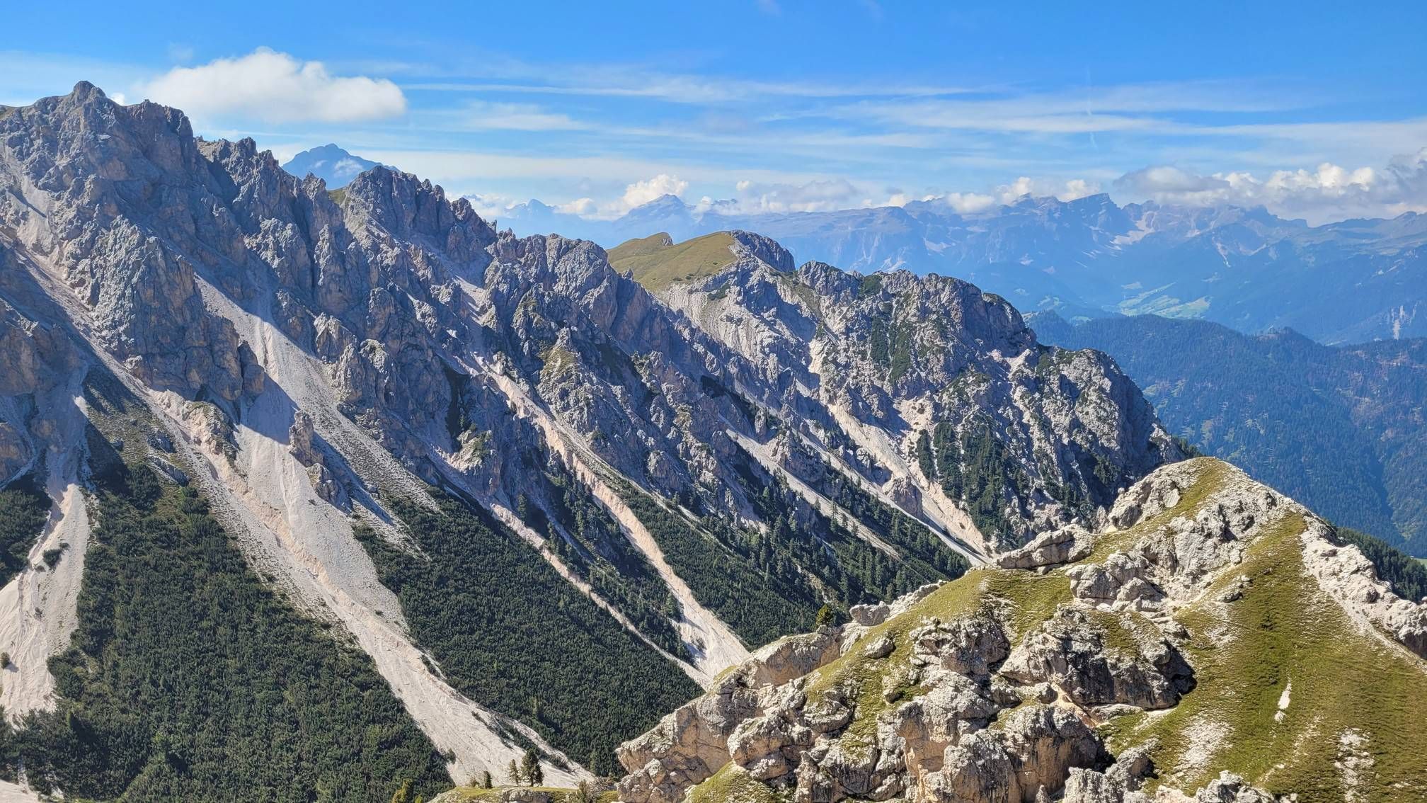
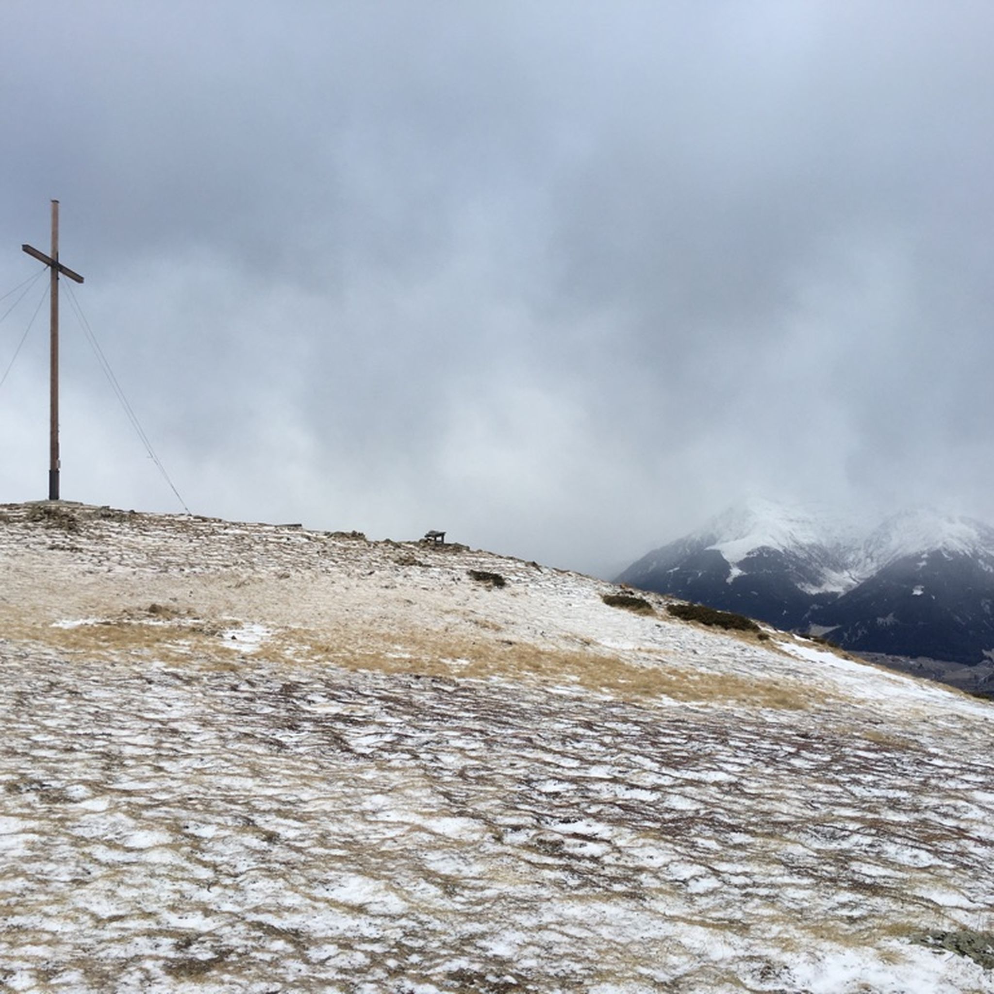
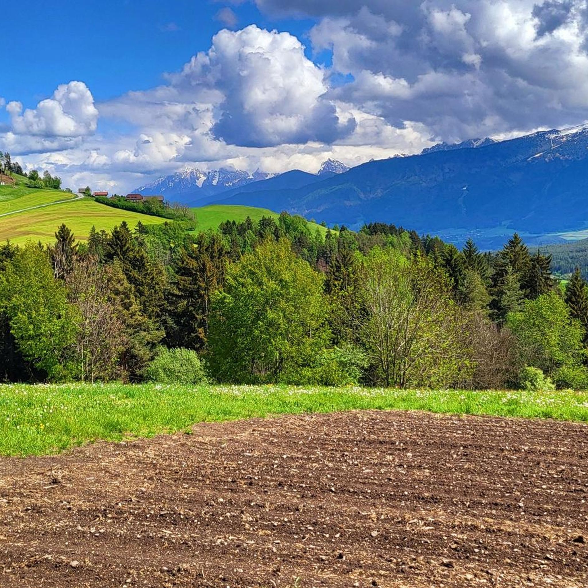
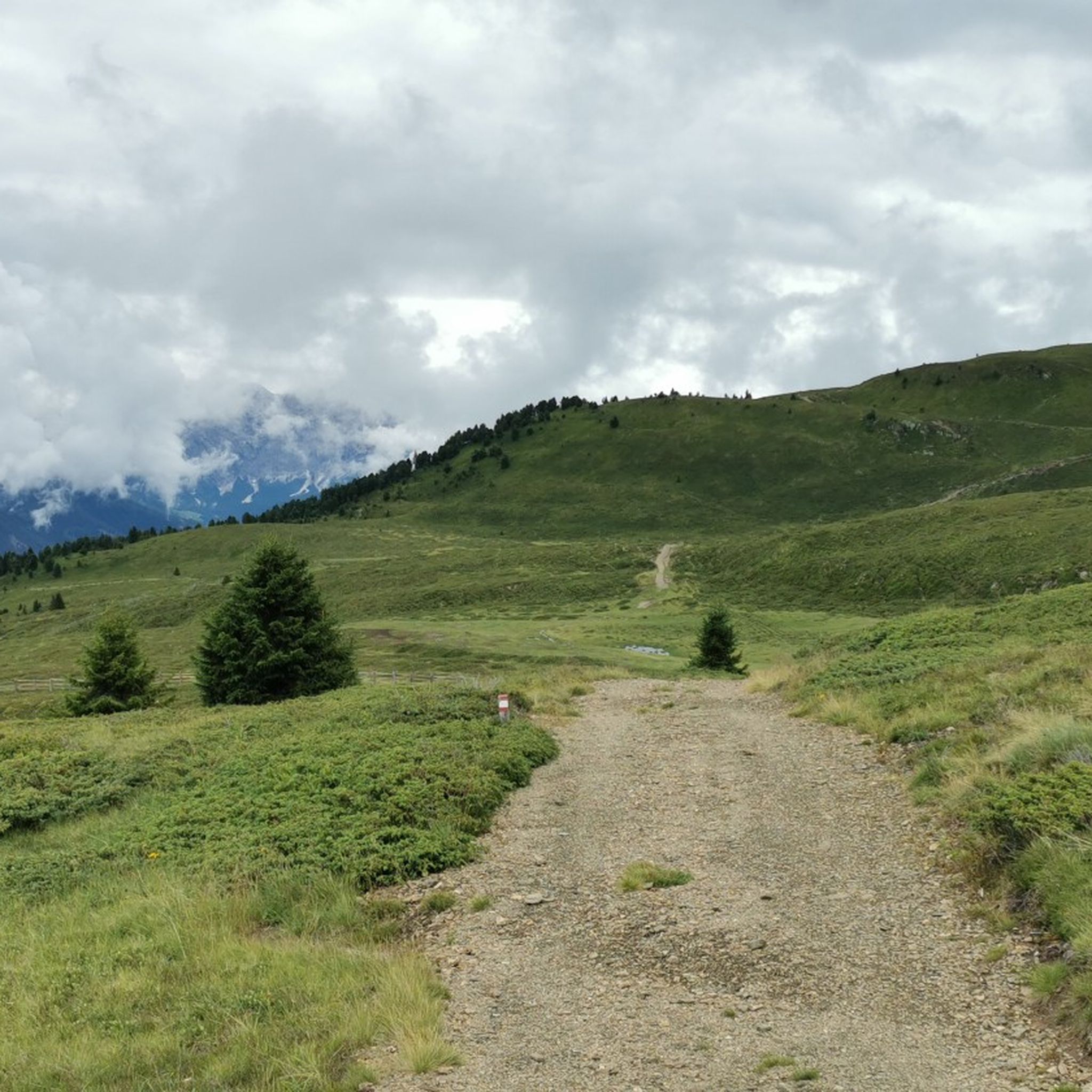
Other adventures around Pfalzen - Falzes

Tips from the Community

POI to linger and panoramic view
0
0

From Plattner Spitz towards Sambock on the path and definitely pay attention to the markings. Partially exposed sections, short climbing passages over rocks (no rope available), require sure-footedness and a head for heights!!
0
0

Good starting point for various hikes.
0
0
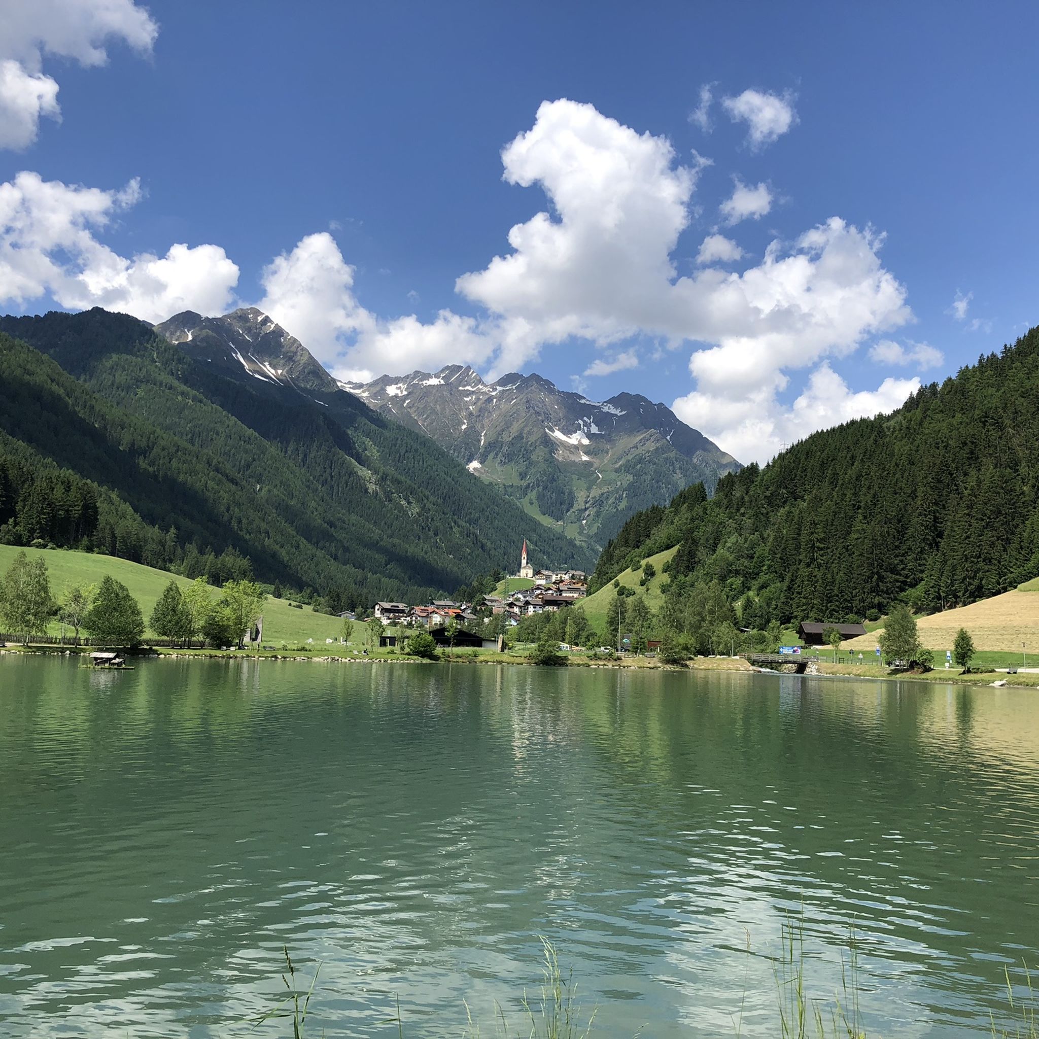
Beautifully situated lake below the Putzenhöhe.
0
0

The summit is easily accessible. The path there is sometimes challenging for less experienced bikers. A fantastic view, including the Grünbachsee lake below, and a beautiful descent await as a reward.
0
0
Great views of the surrounding peaks. Cows also come up here, which you might not expect at first. They lie quietly around, digesting their food, or watching with interest.
0
0

A mountain with two faces! The further route is ideal for summit collectors. Surefootedness on the ridge and a head for heights are required.
1
0
Frequently Asked Questions
How many mountaineering routes are available around Pfalzen - Falzes?
The Pfalzen - Falzes region offers a wide selection of mountaineering routes, with over 60 different tours to explore. These range from moderate ascents to more demanding summit expeditions.
Are there mountaineering routes suitable for beginners in Pfalzen - Falzes?
Yes, while many routes are challenging, there are a few easier mountaineering options available. For instance, the Monte Platte Summit Cross – Sambock Summit loop from Platten - Plata is a moderate route that offers rewarding views without extreme difficulty.
What kind of terrain can I expect on mountaineering routes in Pfalzen - Falzes?
Mountaineering routes in Pfalzen - Falzes traverse a diverse landscape, from the foothills of the Zillertal Alps to the majestic Dolomites. You'll encounter varied terrain including alpine pastures, forested areas, and rocky sections, with significant elevation changes. Some routes, like the Kofler hike, are known for their narrow passages between rocks and wild, romantic landscapes.
Are there challenging mountaineering routes for experienced hikers?
Absolutely. The region is well-suited for experienced mountaineers, with 47 difficult routes. A challenging option is the Moarhof Alm – Putzenhöhe loop from Kiens - Chienes, which covers 17.7 km with over 1200 meters of elevation gain, traversing varied mountain landscapes towards the Putzenhöhe.
Can I find mountaineering routes that pass by waterfalls or lakes?
Yes, the region features natural monuments like the Reinbach Waterfalls and Issinger Weiher. While not directly on mountaineering routes, the First Reinbach Waterfall is accessible via the Francis Contemplation Trail, offering a refreshing detour or a family-friendly hike in itself.
What are some notable natural landmarks or points of interest I can see while mountaineering?
Beyond the stunning mountain peaks, you can encounter unique natural formations. The Platten Earth Pyramids are a fascinating natural monument nearby. Additionally, many routes offer views of the Zillertal Alps and Dolomites, and you might pass by historic sites like Castel Tures / Taufers Castle from certain viewpoints.
Are there any themed trails or unique cultural experiences along the routes?
Yes, Pfalzen - Falzes offers unique trails that blend nature with local culture. The "Steine erzählen" (Stones Tell) themed trail and the LandArt Trail lead through the natural and cultural landscape, providing insights into the region's heritage alongside your hike.
Are there family-friendly mountaineering options in the Pfalzen - Falzes area?
While many mountaineering routes are demanding, some areas are more suitable for families. The Francis Contemplation Trail leading to the First Reinbach Waterfall is an accessible hike. For easier, scenic walks, the Pfalzen Panorama Trail is an easy loop with great views, though it's more of a hike than a mountaineering route.
What do other mountaineers enjoy the most about mountaineering in Pfalzen - Falzes?
The area is highly rated by the komoot community, with an average score of 4.8 stars from over 100 reviews. Mountaineers frequently praise the diverse landscapes, the rewarding panoramic views from peaks like Sambock and Putzenhöhe, and the well-maintained trails that cater to various skill levels.
Are there circular mountaineering routes available?
Yes, many of the mountaineering routes in Pfalzen - Falzes are designed as loops, allowing you to start and end at the same point. An example is the Sambock Summit – Sambock North Ridge loop from Schloß Schöneck - Castel Schöneck, a 16.4 km trail through high alpine terrain.
What is the best time of year for mountaineering in Pfalzen - Falzes?
The best time for mountaineering in Pfalzen - Falzes is typically from late spring to early autumn (May to October), when the weather is generally stable, and trails are clear of snow. Summer offers warmer temperatures and lush alpine meadows, while early autumn provides crisp air and vibrant foliage. Always check local weather and trail conditions before heading out.
Are there any routes that offer panoramic views of the Zillertal Alps and Dolomites?
Many routes provide breathtaking vistas. The Putzenhöhe – Moarhof Alm loop from Hofern, for instance, offers extensive views of the surrounding peaks. The Zumis Summit, though challenging, rewards sure-footed mountaineers with 360-degree panoramic views of both the Zillertal Alps and the Dolomites.
Most popular routes around Pfalzen - Falzes
Most popular attractions around Pfalzen - Falzes

Get inspired with the komoot mobile app


Explore more
Browse the best Mountain Hikes & Routes in other regions.
