The best walks and hikes around Lastra A Signa
4.2
(248)
897
hikers
33
hikes
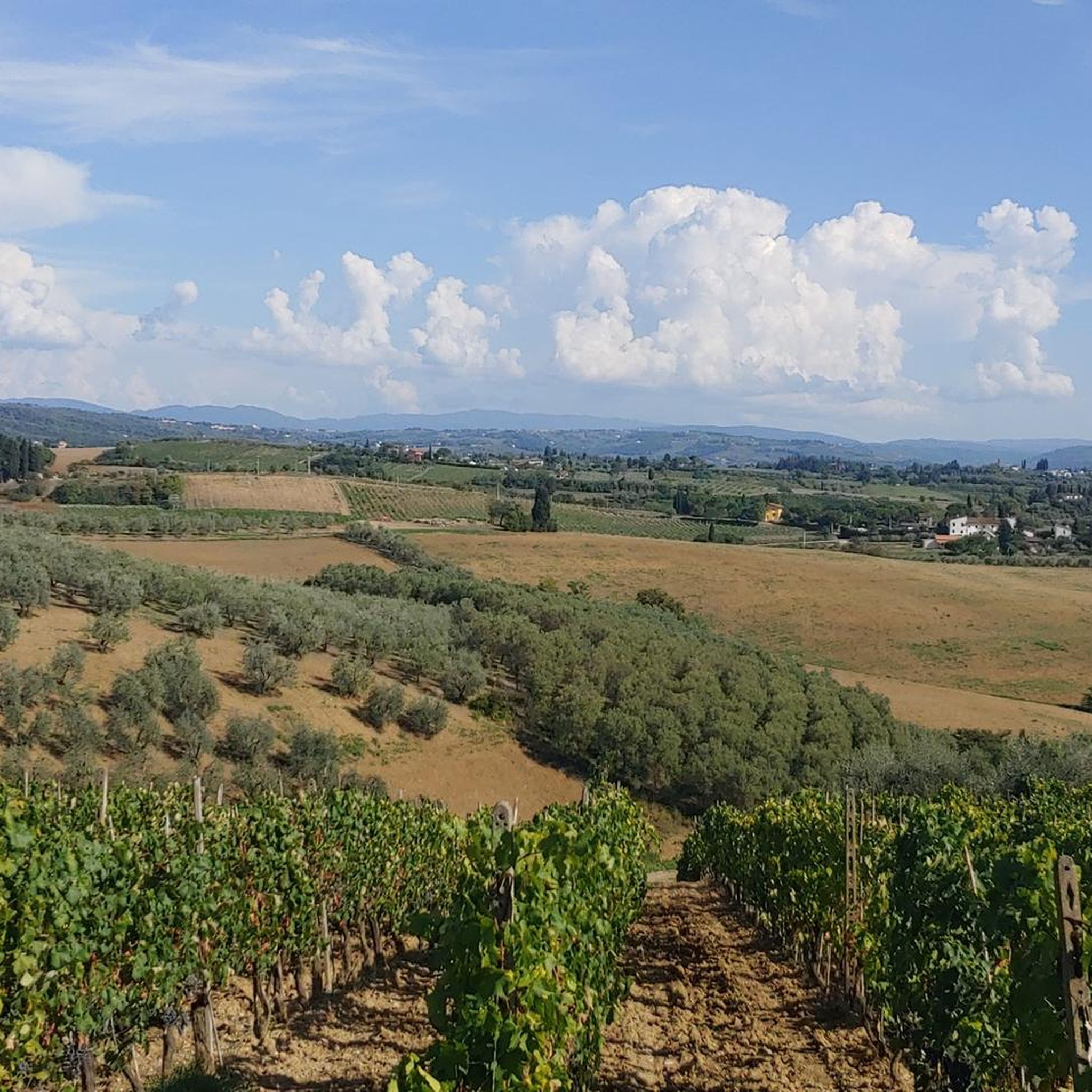
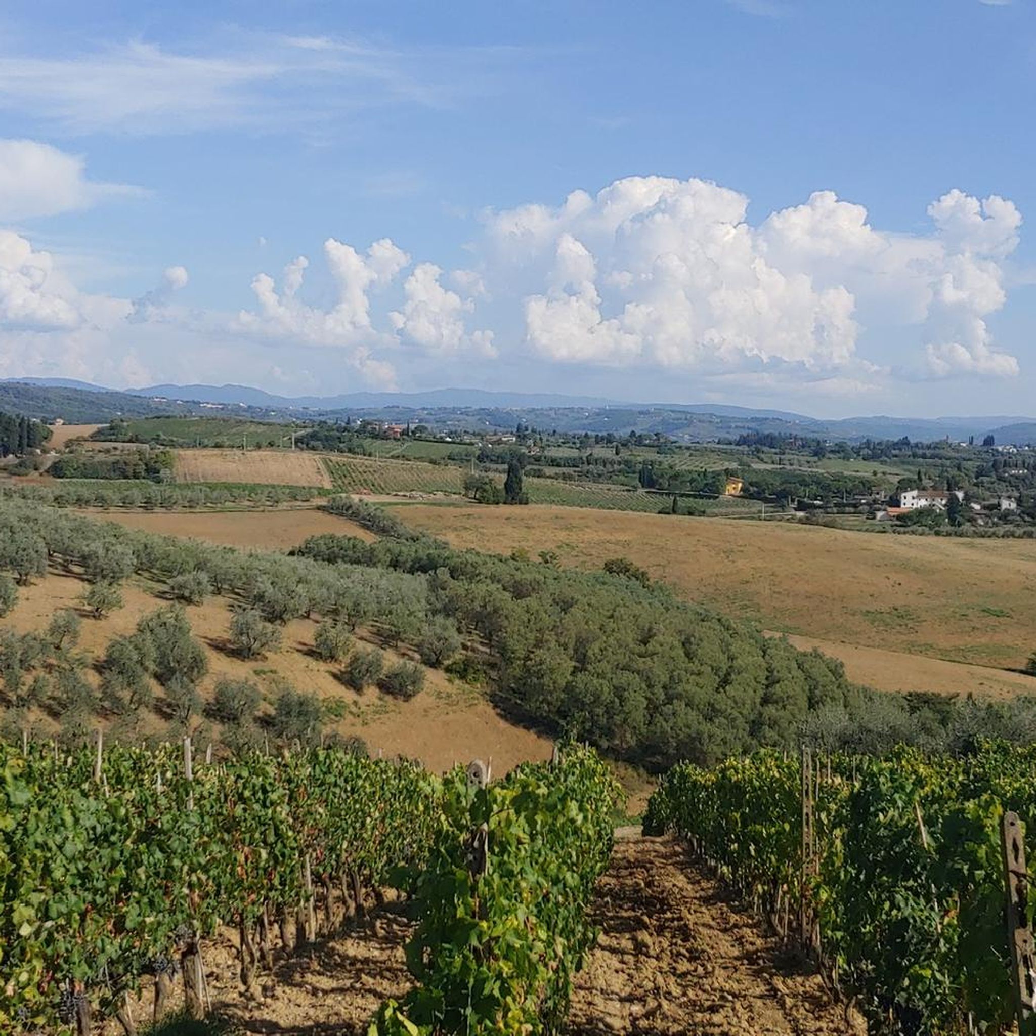
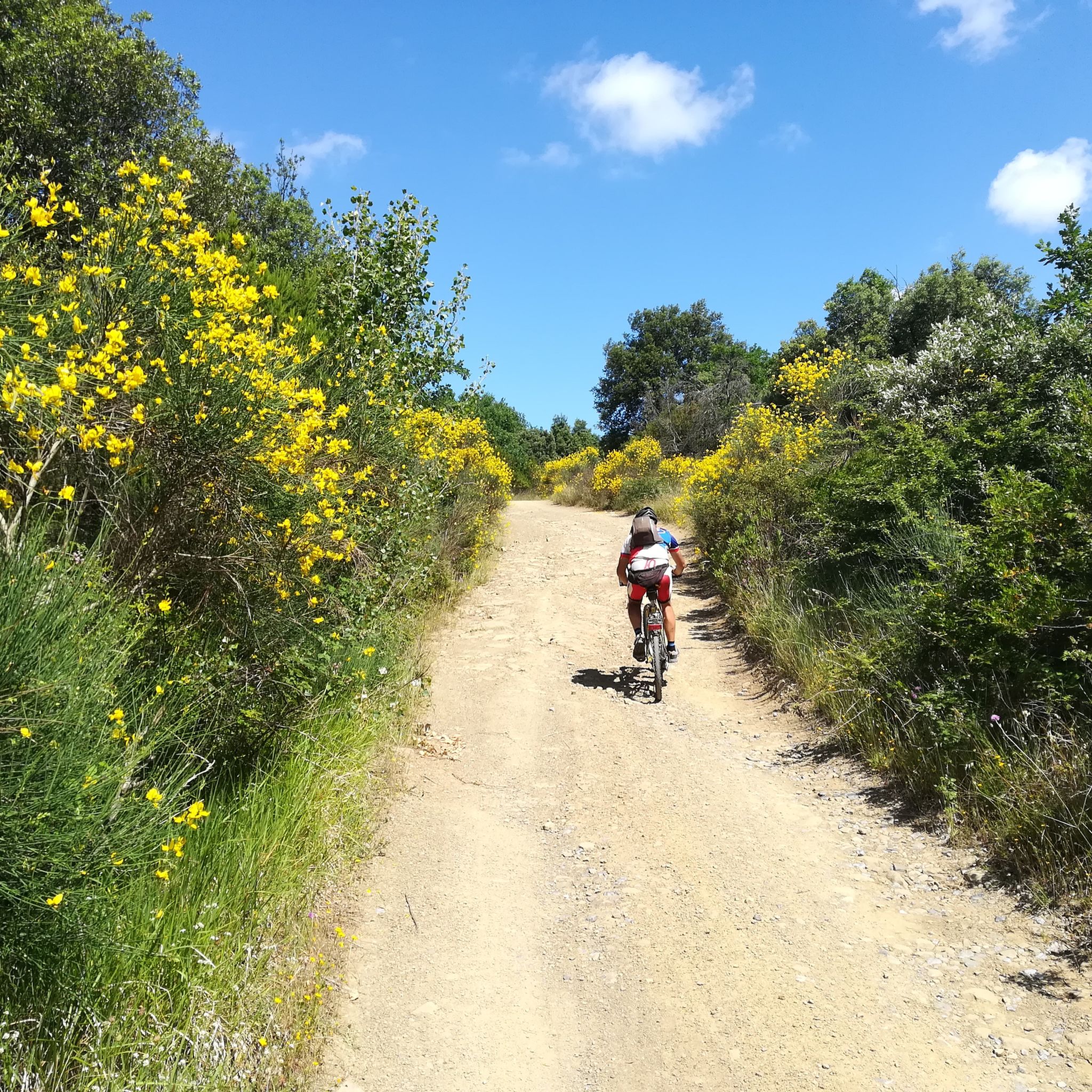
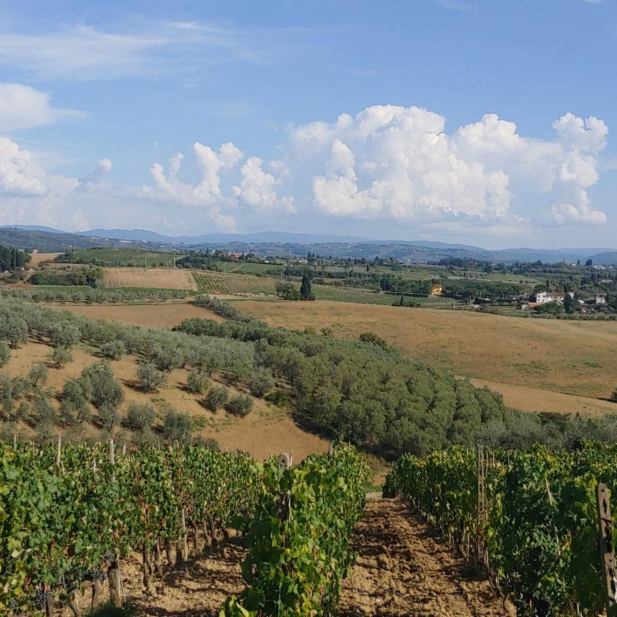
Hiking around Lastra A Signa offers diverse landscapes in the Tuscan countryside, characterized by low-lying plains along the Arno River, rolling green hillsides, and picturesque mountainous terrain. The region features varied geology, including limestones, clays, sandstone, and alluvial deposits, alongside numerous springs, small lakes, and tributaries. Hikers will find routes traversing small forests, extensive olive groves, and vineyards, with the town's name "Lastra" referencing its flat, rocky ground and sandstone slabs.
Best hiking trails around Lastra A Signa
- The most…
Last updated: July 9, 2026
4.4
(10)
39
hikers
7.96km
02:19
200m
200m
Moderate hike. Good fitness required. Easily-accessible paths. Suitable for all skill levels.
4.1
(7)
25
hikers
7.46km
02:13
230m
230m
Moderate hike. Good fitness required. Easily-accessible paths. Suitable for all skill levels.

Sign up for free
3.0
(4)
36
hikers
5.14km
01:18
10m
10m
Easy hike. Great for any fitness level. Easily-accessible paths. Suitable for all skill levels.
4.5
(8)
19
hikers
7.97km
02:13
150m
150m
Moderate hike. Good fitness required. Easily-accessible paths. Suitable for all skill levels.
4.2
(6)
9
hikers
12.7km
03:40
300m
300m
Moderate hike. Good fitness required. Easily-accessible paths. Suitable for all skill levels.
Get access to more routes and recommendations from other explorers.
Sign up for free
Already have an account?
Our route recommendations are based on thousands of hikes, rides, and runs completed by other people on komoot.
Start today with a free account
Your next adventure awaits.
Login or Signup

Tips from the Community

Nice spot for a break, little traffic, good air
0
0

The stretch from the crossroads for the Roveta source to Roncigliano (via Roveta) is prohibited due to no access signs on the part of Agricola Brunelli. Hunting reserve. If you then pass the same it is your responsibility
0
0

Old factory abandoned and now reduced to ruins. Known in the area in the 70s for the particular bottles used to pack the orange juice.
1
0

It is an old abandoned factory that bottled spring water and produced soft drinks. Closed in 1975. It's definitely worth a look and in my opinion even lengthen the journey a bit to get there. It is possible to drink the spring water that still flows
1
0

Church of Santa Maria in Marciola. Crossroads for the routes of Roveta, Marciola, Roncigliano, Poggio Valicaia.
0
0
Old water bottling factory of the Roveta spring and beverage production closed and abandoned in the mid 70's. (Https://it.wikipedia.org/wiki/Sorgente_Roveta)
1
0

Be there in late September and enjoy the light
0
0
Frequently Asked Questions
How many hiking trails are available around Lastra a Signa?
Based on komoot data, there are over 30 hiking trails around Lastra a Signa, catering to various skill levels, from easy strolls to more challenging routes.
Are there easy hiking routes suitable for beginners in Lastra a Signa?
Yes, Lastra a Signa offers several easy hikes. For instance, The Moon loop from Lastra a Signa is an easy 5.1 km trail that takes about 1 hour 18 minutes to complete, perfect for a relaxed stroll through varied local landscapes.
What kind of terrain can I expect on hikes around Lastra a Signa?
The terrain around Lastra a Signa is quite varied. You'll encounter low-lying plains along the Arno River, rolling green hillsides, and picturesque mountainous areas. The landscape features limestones, clays, sandstone, and alluvial deposits, with routes traversing small forests, extensive olive groves, and vineyards.
Are there any circular hiking routes in Lastra a Signa?
Yes, many of the trails around Lastra a Signa are circular, offering convenient starting and ending points. Examples include the Malmantile City Walls – Villa Caruso loop from Malmantile and the Villa Caruso loop from Lastra a Signa, both providing scenic round trips.
What historical landmarks or attractions can I see while hiking in Lastra a Signa?
Hiking in Lastra a Signa often integrates historical and cultural sites. You can encounter the well-preserved medieval walls of the town, including the prominent Porta di Baccio. Routes also pass by the historic Villa Caruso di Bellosguardo, and charming hamlets like Malmantile with its defense walls.
What do other hikers enjoy the most about hiking in Lastra a Signa?
The area is highly rated by the komoot community, with an average score of 4.2 stars from over 200 reviews. Hikers often praise the diverse landscapes, the combination of natural beauty with historical sites, and the well-maintained network of trails suitable for various abilities.
Are there any dog-friendly trails in Lastra a Signa?
Many trails in the Lastra a Signa area are suitable for dogs, especially those traversing forests and open countryside. It's always recommended to keep dogs on a leash, especially near olive groves or vineyards, and to respect local regulations.
Are there family-friendly hiking options in Lastra a Signa?
Absolutely. The region offers several easy trails perfect for families. The varied landscape with forests and open spaces provides an engaging environment for children. Shorter, less strenuous loops like The Moon loop from Lastra a Signa are great choices for families.
Is there public transport available to reach hiking trailheads in Lastra a Signa?
Lastra a Signa is well-connected, and local public transport options can help you reach various parts of the region. For specific trailheads, it's advisable to check local bus schedules or train connections to Lastra a Signa and then plan your route accordingly.
Where can I find parking for hiking trails in Lastra a Signa?
Parking is generally available in and around the town of Lastra a Signa, as well as in smaller villages like Malmantile, which serve as common starting points for many trails. Look for designated parking areas near town centers or trail access points.
What is the best time of year to go hiking in Lastra a Signa?
The Tuscan countryside around Lastra a Signa is beautiful year-round, but spring (April-May) and autumn (September-October) offer the most pleasant hiking conditions with mild temperatures and vibrant scenery. Summers can be hot, making early morning or late afternoon hikes preferable, while winters are generally mild but can be damp.
Are there cafes or places to eat near the hiking trails?
Yes, Lastra a Signa and its surrounding hamlets like Malmantile and Ginestra Fiorentina offer various cafes, trattorias, and restaurants where you can enjoy a meal or a refreshing drink before or after your hike. These local establishments often provide a taste of authentic Tuscan cuisine.
Most popular routes around Lastra A Signa
Most popular attractions around Lastra A Signa

Get inspired with the komoot mobile app


Explore more
Browse the best Hikes in other regions.
