The best mountain hikes around Rivoli Veronese
5.0
(8)
84
hikers
7
hikes
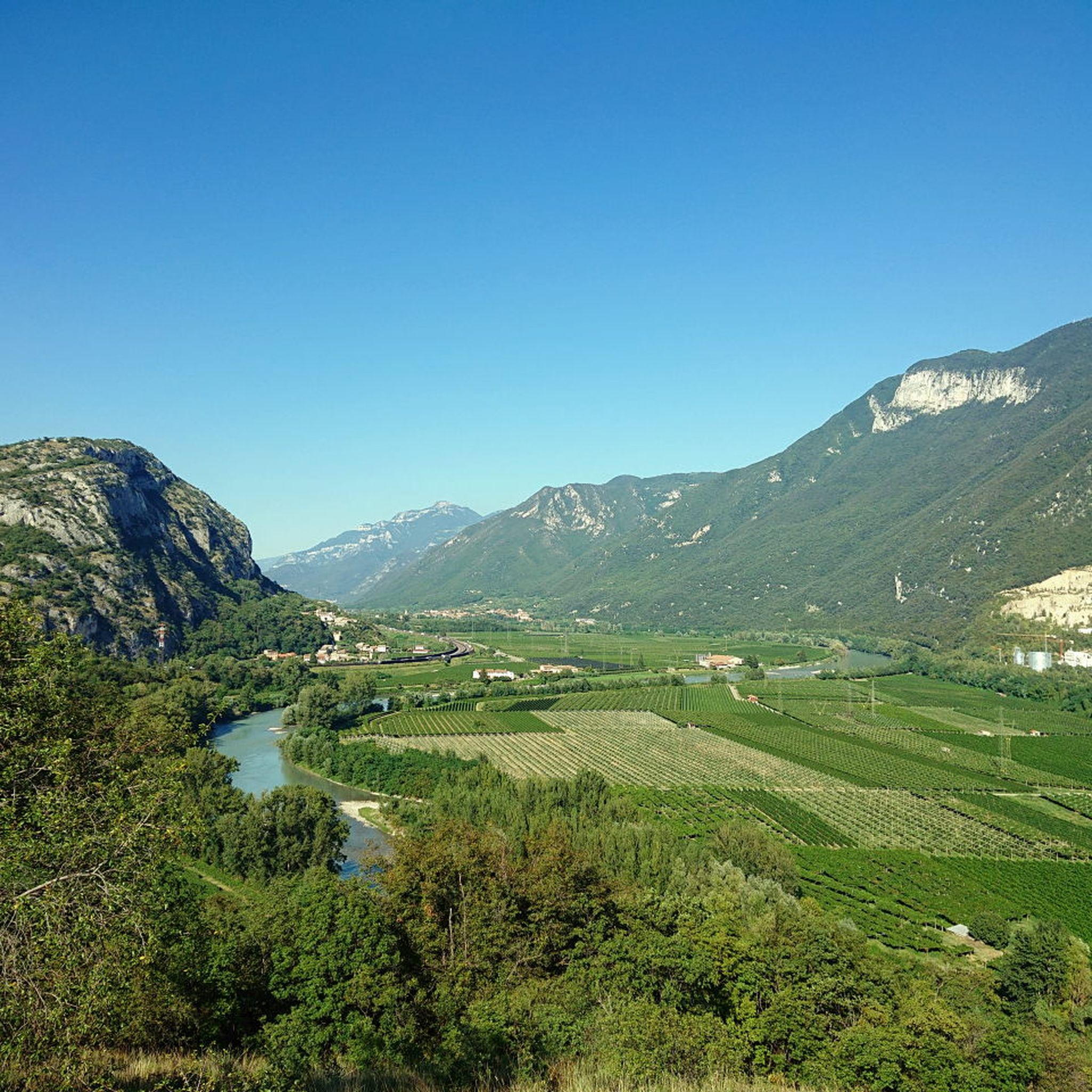
Mountaineering around Rivoli Veronese encompasses a diverse landscape, featuring the prominent Monte Baldo range and the rugged Lessini Mountains. The region is characterized by significant limestone crags, carved during the Ice Ages, which provide varied terrain for high-altitude excursions. Many mountaineering routes offer panoramic views of Lake Garda and traverse valleys such as the Adige.
Best mountaineering routes around Rivoli Veronese
- The most popular mountaineering route is Mountaineering loop from Bardolino, a 4.0 miles (6.4 km) trail that takes…
Last updated: October 8, 2026
5.0
(2)
15
hikers
Moderate mountaineering route. Good fitness required. Mostly accessible paths. Sure-footedness required.
5.0
(1)
23
hikers
10.8km
05:01
1,010m
1,010m
Hard mountaineering route. Very good fitness required. Mostly accessible paths. Sure-footedness required.

11
hikers
20.0km
07:17
990m
990m
Hard mountaineering route. Very good fitness required. Sure-footedness, sturdy shoes and alpine experience required.
5.0
(1)
6
hikers
11.4km
03:31
380m
380m
Moderate mountaineering route. Good fitness required. Easily-accessible paths. Suitable for all skill levels.
5.0
(1)
9
hikers
Moderate mountaineering route. Great for any fitness level. Mostly accessible paths. Sure-footedness required.
Get access to more routes and recommendations from other explorers.
Already have an account?
Our route recommendations are based on thousands of hikes, rides, and runs completed by other people on komoot.
Start today with a free account
Your next adventure awaits.

Tips from the Community

Piazzale Roma is characterized by its old, large trees. There are several plane trees and a magnolia. Particularly striking is the "Rabbit Plane Tree", which is about 176 years old. Its twisted and unusually grown trunk forms striking round shapes reminiscent of an animal's head. The old trees are a characteristic feature of the square and make it an interesting place.
0
0

Full of visitors
1
0

Beautiful refuge located just below the Telegrafo summit. Excellently managed!
0
0

Small, managed mountain hut next to the summit station of the Funivia Prada-Costabella with a magnificent panoramic view.
2
0
The Rifugio Telegrafo, full name Rifugio Gaetano Barana al Telegrafo (Italian: Telegrafo Hut), is a mountain refuge belonging to the Verona section of the Italian Alpine Club (CAI) on Monte Baldo in the province of Verona. The refuge, usually open from the beginning of June to the end of September, has 47 beds and a winter room with 6 beds. (Wikipedia)
1
0

From here to reach Cima Telegrafo you go down a couple of hairpin bends and then start climbing again until the left fork for the summit
0
0

It symbolizes the partnership between God and humanity. On the cross, two hands are depicted reaching out to each other to symbolize this partnership.
5
0
This sculpture, located near the Telegrafo Refuge, was created to commemorate the 100th anniversary of the First World War. Source: https://www.scuoladartebrenzoni.it/2016/07/30/2-simposio-scolpire-nella-memoria-opera-il-saluto-del-soldato/
5
0
Frequently Asked Questions
What kind of terrain can I expect on mountaineering routes around Rivoli Veronese?
The terrain around Rivoli Veronese is incredibly diverse, shaped by Quaternary glaciation. You'll encounter spectacular moraine cirques and visible striations in areas like Canale, showcasing its glacial past. Routes often traverse the prominent Monte Baldo range and the rugged Lessini Mountains, featuring significant limestone crags. Many paths offer panoramic views of Lake Garda and wind through valleys such as the Adige.
Are there any easy or beginner-friendly mountaineering routes in Rivoli Veronese?
While many mountaineering routes in Rivoli Veronese are moderate to difficult, there are options that cater to varying skill levels. For a moderate introduction, consider the Mountaineering loop from Bardolino, which offers views towards Lake Garda and takes about 2 hours 10 minutes to complete.
What are some challenging mountaineering routes for experienced climbers?
For those seeking a challenge, Rivoli Veronese offers several difficult routes. The Prada–Costabella Cable Car – Telegrafo Peak loop from Rifugio Fiori del Baldo is a demanding 8.2 km path ascending towards Telegrafo Peak, the highest-altitude refuge on Monte Baldo. Another challenging option is the Prada–Costabella Cable Car – Costabella Peak loop from Prada, a 10.8 km trail through high-altitude terrain.
Are there any circular mountaineering routes available?
Yes, several mountaineering routes in the area are loops, allowing you to start and end at the same point. Examples include the Mountaineering loop from Bardolino, the Prada–Costabella Cable Car – Telegrafo Peak loop from Rifugio Fiori del Baldo, and the Prada–Costabella Cable Car – Costabella Peak loop from Malga Valfredda.
What interesting landmarks or natural features can I see along the mountaineering routes?
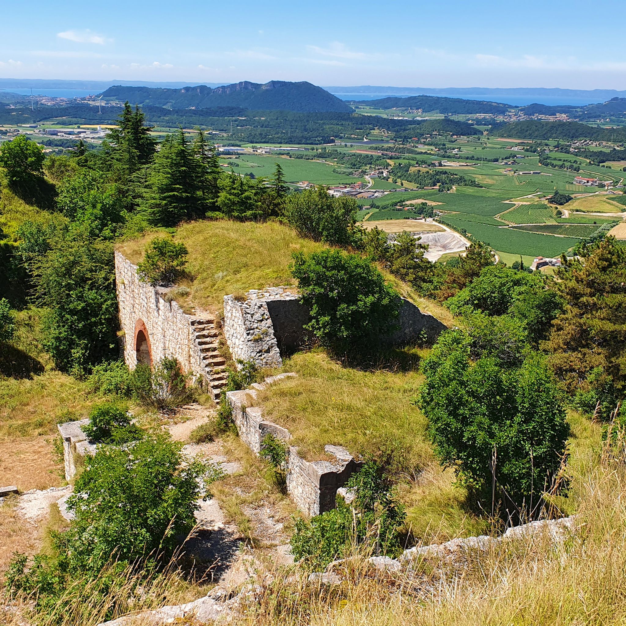
Mountaineering routes often pass by significant natural and historical landmarks. You can enjoy panoramic views of the Adige Valley and Lake Garda. Historically, the region features numerous forts like Forte Wohlgemuth (Forte Rivoli) and Forte San Marco, which are often integrated into hiking and cycling routes. The geological formations, such as the limestone of Corno d'Aquilio in Lessinia, are also notable. For specific historical sites, consider exploring highlights like Fort San Marco.
What is the best season for mountaineering in Rivoli Veronese?
Given its proximity to Lake Garda, Rivoli Veronese benefits from a Mediterranean climate, making spring and autumn ideal for mountaineering. These seasons offer pleasant temperatures and stable weather conditions. While summer is also possible, higher altitudes can be very warm. Winter mountaineering is possible but requires appropriate gear and alpine knowledge due to snow and ice conditions, especially on Monte Baldo.
Are there any family-friendly mountaineering options or trails suitable for children?
While many mountaineering routes require a good level of training and secure footing, Rivoli Veronese offers trails that cater to various skill levels. For families, it's advisable to look for shorter, less strenuous hikes rather than technical mountaineering routes. The region has numerous walking paths, including those with historical forts, which might be more suitable for families. Always check the difficulty and elevation gain before setting out with children.
Can I bring my dog on the mountaineering trails?
Many trails in the Rivoli Veronese area are dog-friendly, but it's always recommended to check specific route regulations or local signage. Ensure your dog is well-behaved, kept on a leash where required, and that you carry enough water for both of you, especially on longer or more exposed routes. Be mindful of livestock and wildlife.
Where can I find parking for mountaineering routes in Rivoli Veronese?
Parking availability varies by trailhead. For routes starting from towns like Bardolino or Prada, there are often designated parking areas, though they can fill up quickly during peak season. For more remote trailheads, parking might be limited to small pull-offs. It's advisable to research specific starting points for your chosen route to identify the best parking options.
Are there any cafes or refuges along the mountaineering routes?
Yes, especially on longer routes or those ascending higher peaks, you might find refuges (mountain huts) where you can rest and get refreshments. For instance, the Rifugio Telegrafo Barana is located on Monte Baldo. In the towns and villages surrounding Rivoli Veronese, such as Rivoli itself or Prada, you'll find cafes and restaurants. Always carry sufficient water and snacks, as facilities can be sparse on the trails.
What is the overall rating for mountaineering in Rivoli Veronese by the komoot community?
The mountaineering routes in Rivoli Veronese are highly regarded by the komoot community, boasting an impressive average rating of 5.0 stars from 9 reviews. Mountaineers often praise the varied terrain, the stunning panoramic views of Lake Garda, and the challenging yet rewarding ascents.
What are the elevation gains typically like on mountaineering routes here?
Elevation gains vary significantly depending on the route's difficulty and length. For example, a moderate route like the Mountaineering loop from Bardolino involves an ascent of around 238 meters. More difficult routes, such as the Monte Baldo Ridge – Fiori del Baldo Mountain Hut loop from Prada, can feature substantial climbs of nearly 1000 meters, offering significant challenges and rewarding views.
Most popular routes around Rivoli Veronese
Most popular attractions around Rivoli Veronese

Get inspired with the komoot mobile app


Explore more
Browse the best Mountain Hikes & Routes in other regions.
