The best walks and hikes around Isola D'Asti
4.3
(492)
2,113
hikers
301
hikes
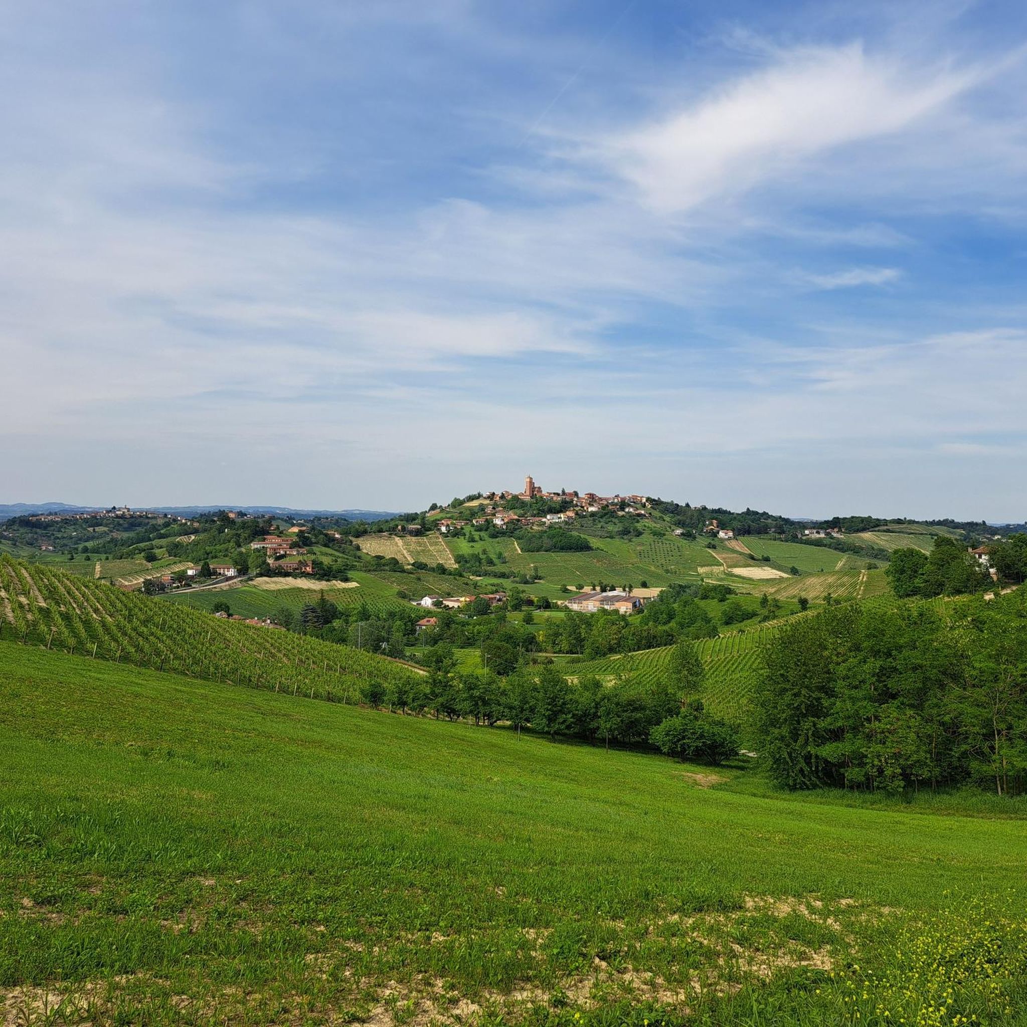
Hiking around Isola D'Asti offers exploration through Italy's Piedmont region, characterized by rolling hills and extensive vineyards, particularly in Montferrato. The landscape features diverse woodlands, including hazelnut fields and chestnut forests, alongside panoramic vistas of the Val Tiglione and surrounding towns. This area provides varied natural environments for outdoor activities, with views extending to the distant Alps on clear days.
Best hiking trails around Isola D'Asti
- The most popular hiking route is Montferrato Wine Country Trail (via Route 202),…
Last updated: June 25, 2026
11.3km
03:12
240m
240m
Wine country trail through Montferrato's vineyards connecting historic borghi and scenic hilltop villages.
11.3km
02:59
110m
110m
Hike the moderate 7.0-mile Strada Vandera Trail in Piedmont, Italy, gaining 357 feet over varied terrain in under 3 hours.

Sign up for free
4.1
(8)
24
hikers
5.87km
01:39
120m
120m
Easy hike. Great for any fitness level. Easily-accessible paths. Suitable for all skill levels.
4.4
(8)
17
hikers
9.19km
02:35
180m
180m
Moderate hike. Good fitness required. Easily-accessible paths. Suitable for all skill levels.
5.0
(5)
19
hikers
12.4km
03:27
220m
220m
Moderate hike. Good fitness required. Easily-accessible paths. Suitable for all skill levels.
Get access to more routes and recommendations from other explorers.
Sign up for free
Already have an account?
Our route recommendations are based on thousands of hikes, rides, and runs completed by other people on komoot.
Start today with a free account
Your next adventure awaits.
Login or Signup

Tips from the Community

The Sacred Mount of Mongardino, the smallest of the Sacred Mountains in Piedmont, is located on private land. To access it, call 0141291226.
0
0

Vigliano Coffee for breakfast with ample parking near petrol station and car wash
0
0

Go and visit this Borgo
1
0

Beautiful church in Motta di Costigliole d'Asti, located on top of a small hill, reachable by road or stairway
1
0

Nice path that leads from the Revigliasco cemetery to Celle Enomondo. If you take a variant you arrive on the SP8 Asti-Antignano. I recommend these routes to all, whether to be done on foot or by bike.
2
0
This part of the trail, excellent for walking but also good for mtb and gravel, leads after 200m to the offshoots of Celle Enomondo near a hairpin bend with a votive chapel on the side of the road.
2
0

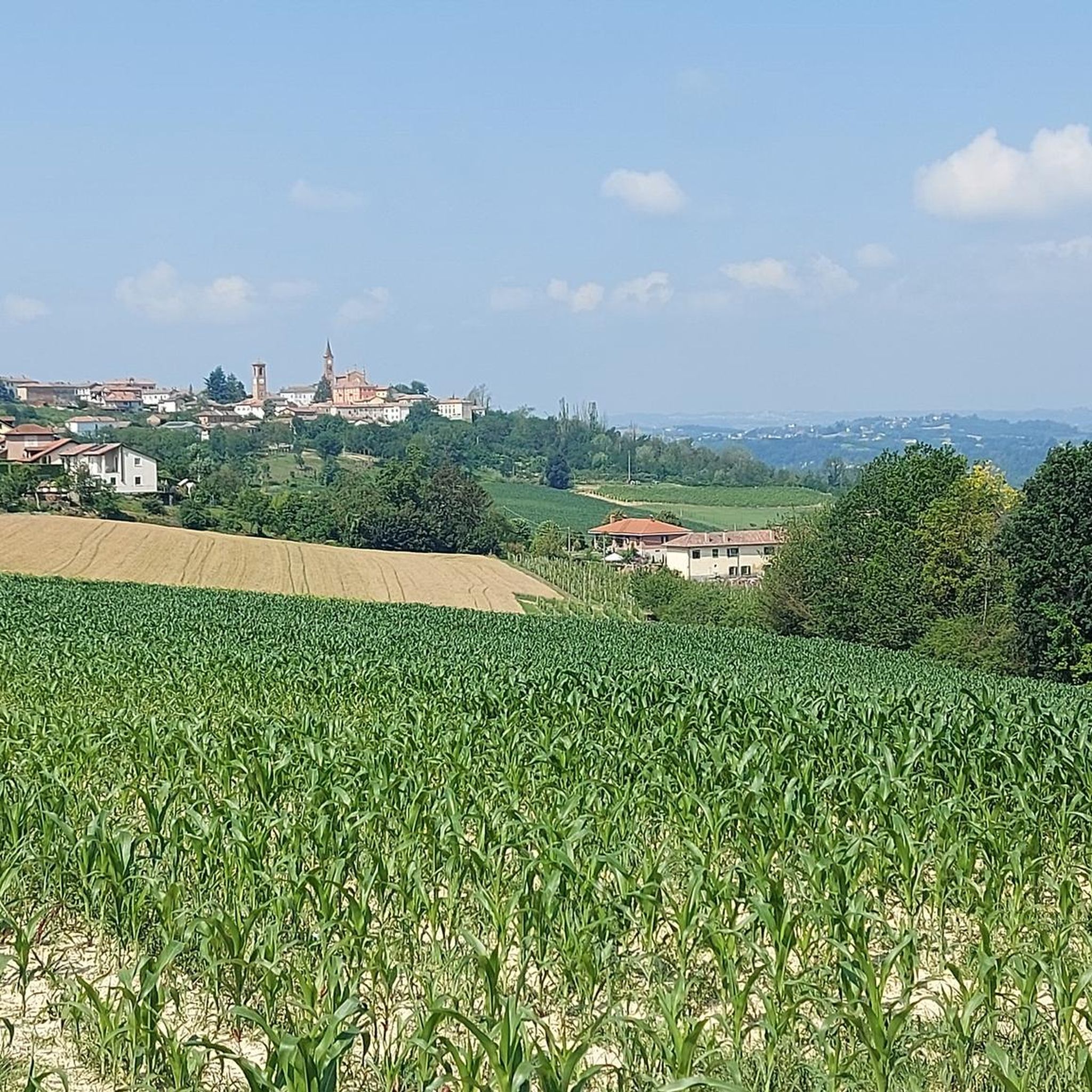
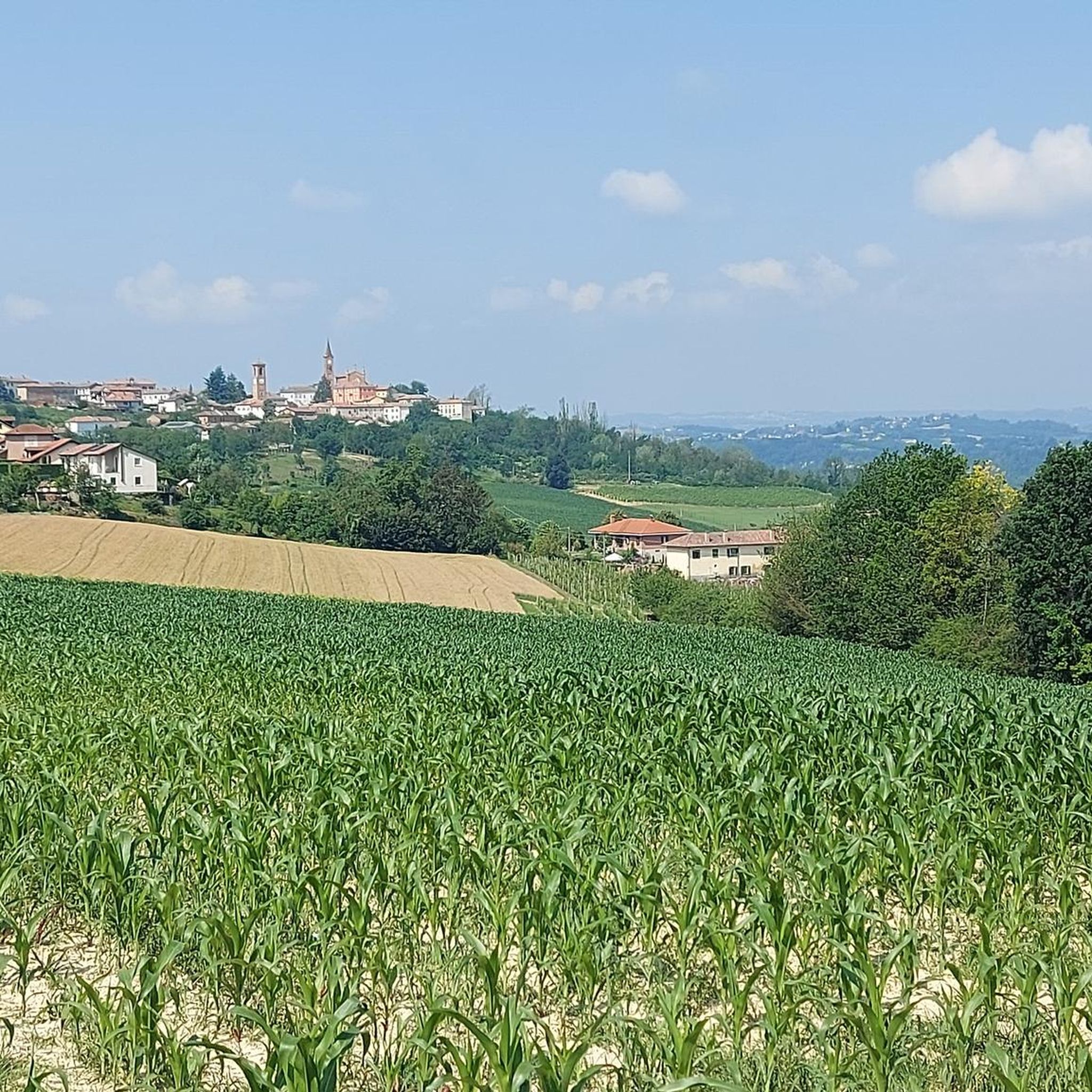
A beautiful village perched on the Monferrato hills
0
0

Going up from the valley towards the town of Mongardino you can admire the green and lively surrounding hills
1
0
Frequently Asked Questions
How many hiking trails are available around Isola D'Asti?
The Isola D'Asti area offers a wide selection of routes, with over 290 hiking trails to explore. This includes a variety of options, from easy strolls to more challenging paths, ensuring there's something for every fitness level.
What are the typical difficulty levels of hikes in Isola D'Asti?
Hiking routes around Isola D'Asti cater to various abilities. You'll find a good mix of easy (around 130 routes) and moderate (over 150 routes) trails, with a smaller selection of difficult paths for experienced hikers. The region's rolling hills mean most trails involve some elevation changes.
Are there any easy hiking routes suitable for beginners in Isola D'Asti?
Yes, Isola D'Asti has numerous easy hiking routes perfect for beginners or those looking for a relaxed walk. An example is the View of Mongardino – Vigliano Caffè loop from Asti, which is about 5.9 km long and takes less than two hours to complete, offering scenic countryside views.
Can I find circular hiking routes in the Isola D'Asti area?
Yes, many hiking routes around Isola D'Asti are designed as loops, allowing you to start and end at the same point. For instance, the Hiking loop from Mongardino is a moderate 9.4 km trail that offers a complete circular experience through the local landscape.
What kind of landscapes and natural features will I encounter on hikes around Isola D'Asti?
Hikes around Isola D'Asti are characterized by picturesque vineyard-covered hills, especially those of Montferrato. You'll also traverse diverse woodlands, including hazelnut fields and chestnut forests, and enjoy panoramic vistas of the Val Tiglione and the distant Alps on clear days.
Are there specific viewpoints or panoramic spots along the trails?
Absolutely. The region is known for its breathtaking panoramic views. Many trails offer expansive sights over the vineyard-laden hills. Piazza Vittorio Emanuele II in Isola D'Asti itself provides clear views of the Val Tiglione and neighboring towns, and various points along routes like the View of the Vineyards – View from Montegrosso (AT) loop from Mongardino offer stunning vistas.
What historical or cultural attractions can I visit while hiking near Isola D'Asti?
Hiking routes often connect charming historic villages and towns, allowing you to discover medieval architecture, castles, churches, and chapels. Notable attractions include the San Martino Alfieri Castle, Costigliole d'Asti Castle, and Govone Castle. You can also find highlights like the Viatosto Church and View of the Hills of Asti.
Is Isola D'Asti a good destination for family-friendly hikes?
Yes, Isola D'Asti is well-suited for family-friendly hikes. The area offers many easy and moderate trails that are not overly strenuous, allowing families to enjoy the scenic vineyards and woodlands together. The varied terrain ensures there are engaging paths for all ages.
Are dogs allowed on the hiking trails around Isola D'Asti?
Generally, dogs are welcome on hiking trails in the Isola D'Asti region. Given the rural and natural landscape, many paths are suitable for walking with your canine companion. However, it's always advisable to keep dogs on a leash, especially when passing through vineyards or near livestock, and to respect local regulations.
What is the best time of year to go hiking in Isola D'Asti?
The best time to hike in Isola D'Asti is typically during spring (April-June) and autumn (September-October). During these seasons, the weather is pleasant, and the landscapes are particularly beautiful, with blooming flowers in spring and vibrant colors in autumn. Summer can be warm, while winter offers a quieter, often misty, experience.
Do I need any permits to hike in the Isola D'Asti region?
No, you do not typically need permits to hike on the general trails and paths around Isola D'Asti. The region's hiking network is largely accessible to the public. However, always be mindful of private property and respect any posted signs.
What are the parking options for hikers in Isola D'Asti?
Parking is generally available in and around Isola D'Asti, particularly in the main town and smaller villages that serve as trailheads. Many routes start from easily accessible points where you can find public parking. It's recommended to check specific starting points for detailed parking information.
Are there options for public transport to access trailheads?
While Isola D'Asti is well-connected by road, public transport options to access specific trailheads might be limited, especially for more remote routes. Buses connect Isola D'Asti with larger towns like Asti, but for direct access to many rural starting points, a car is often the most convenient option.
What do other hikers say about their experience in Isola D'Asti?
The hiking experience in Isola D'Asti is highly rated by the komoot community, with an average score of 4.3 stars from over 390 reviews. Hikers often praise the beautiful vineyard scenery, the variety of trails, and the peaceful atmosphere. Over 1800 hikers have used komoot to explore the area, highlighting its popularity.
Are there places to eat or stay near the hiking trails in Isola D'Asti?
Yes, the Isola D'Asti region is known for its excellent local cuisine and wine. You'll find numerous trattorias, restaurants, and agriturismi (farm stays) in Isola D'Asti and the surrounding villages. Many of these are conveniently located near hiking routes, offering opportunities to enjoy local specialties and find accommodation after your hike.
Most popular routes around Isola D'Asti
Most popular attractions around Isola D'Asti

Get inspired with the komoot mobile app


Explore more
Browse the best Hikes in other regions.
