The best road cycling routes around Valperga
4.6
(216)
6,333
riders
15
rides
Road cycling routes around Valperga traverse the varied terrain of Italy's Canavese region, offering a mix of long flat stretches, continuous undulations, and significant mountain climbs. The area features mostly well-paved roads, suitable for road cyclists seeking diverse experiences. Cyclists can navigate through gentle hills, green valleys, and morainic mountain ranges, with routes often leading to historical sites and viewpoints. The region's topography provides options for various fitness levels, from challenging ascents to more moderate rides.
Best road cycling routes…
Last updated: August 11, 2026
4.9
(10)
182
riders
46.3km
02:45
1,130m
1,130m
Hard road ride. Very good fitness required. Mostly well-paved surfaces and easy to ride.
21
riders
21.0km
01:08
360m
360m
Moderate road ride. Good fitness required. Mostly well-paved surfaces and easy to ride.

Sign up for free
5.0
(1)
23
riders
23.8km
01:05
250m
250m
Easy road ride. Great for any fitness level. Mostly well-paved surfaces and easy to ride.
15
riders
83.5km
03:52
970m
970m
Hard road ride. Very good fitness required. Mostly well-paved surfaces and easy to ride.
5.0
(1)
7
riders
39.2km
01:36
230m
230m
Easy road ride. Great for any fitness level. Mostly well-paved surfaces and easy to ride.
Get access to more routes and recommendations from other explorers.
Sign up for free
Already have an account?
Our route recommendations are based on thousands of hikes, rides, and runs completed by other people on komoot.
Start today with a free account
Your next adventure awaits.
Login or Signup
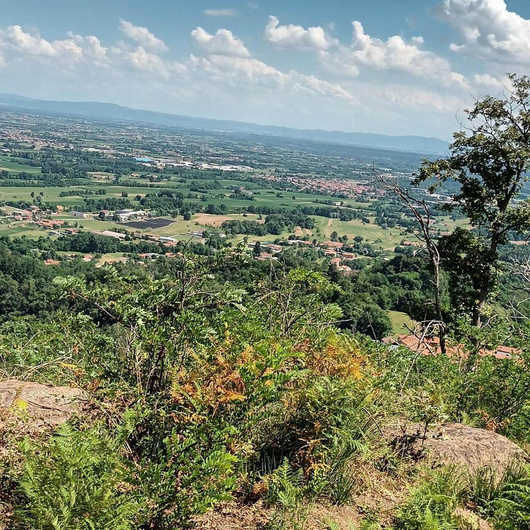
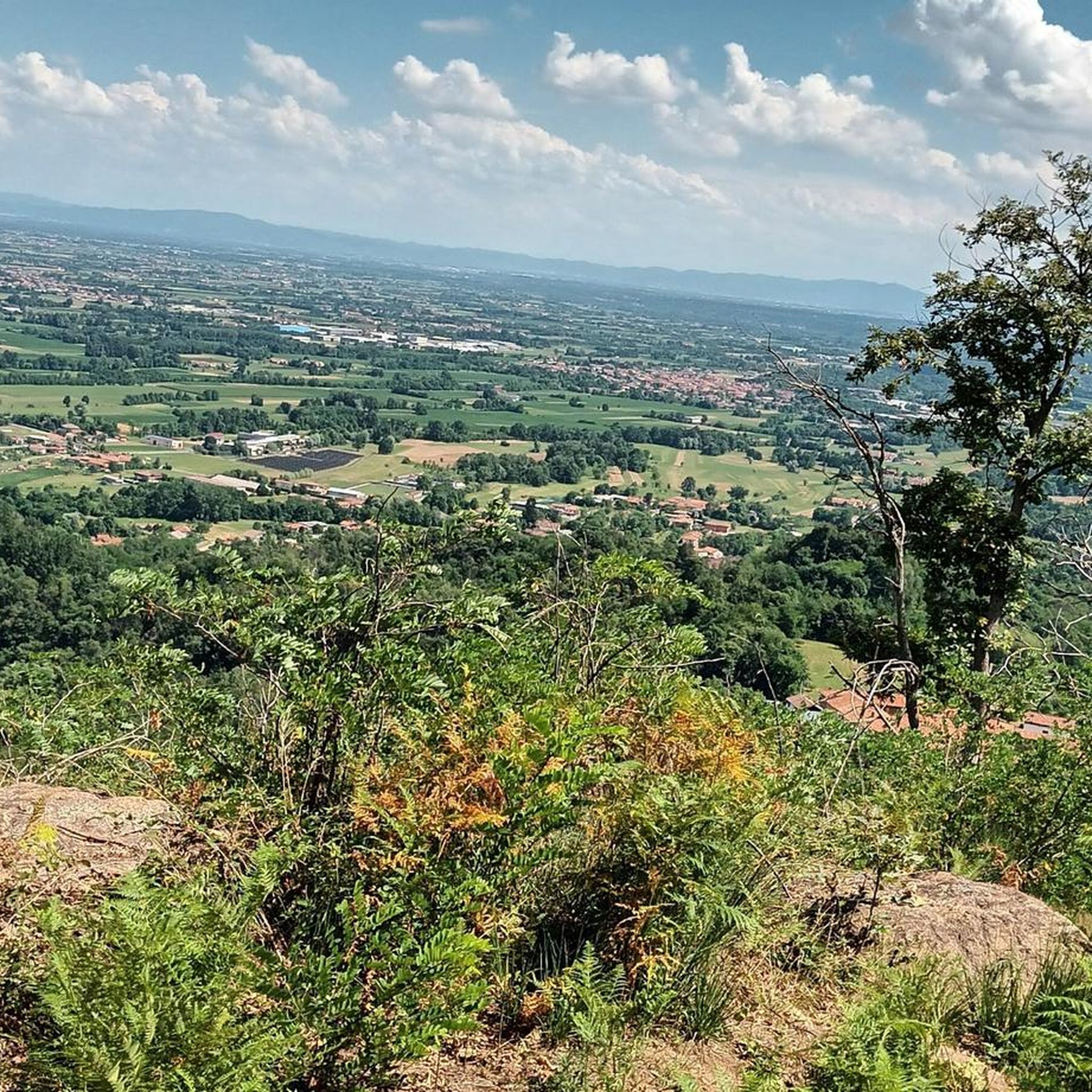
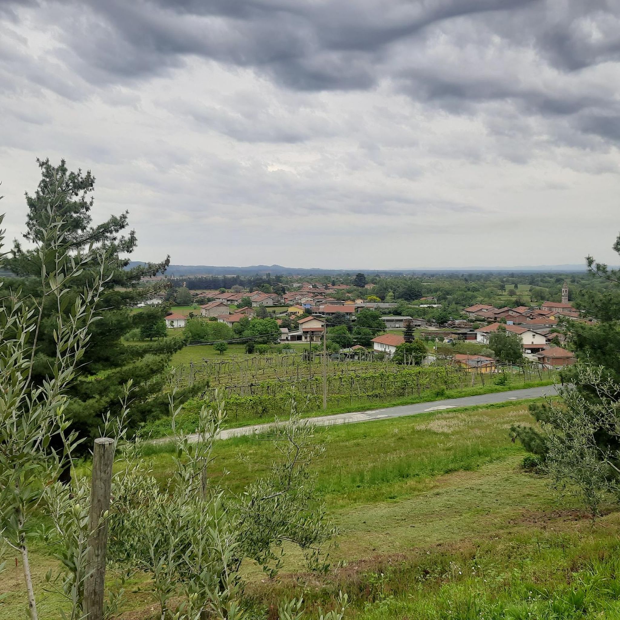


Tips from the Community

Scenic spot to park to start the hike to Punta Quinzeina
1
0


Just a moment...if you need something regenerating you have to stop for a bite. Friendly staff, excellent abundant dishes with good ingredients 👍👍👍 not expensive
2
0
Well made metal sculpture.
14
0

Quiet street for cycling.
0
0

In reality, this place is not so "flat" because, from when the slopes become less steep to when the descent begins, there will not even be a hundred meters ... but the environment is superb, high mountain, and makes up for the road that, especially towards Frassinetto, is not in such good condition. There is nothing, not a bar, not a fountain ... but it is worth stopping and admiring the splendid panorama. Going up from Frassinetto the slope, after the village, becomes discontinuous and challenging, more gradual if you go up from Colleretto Castelnuovo, where the road alternates beautiful hairpin bends in the woods ... however, it is not a gift from this side either!
1
0

Very useful and fortunately still in good condition.
0
0
Leaving aside the chaos of the center, it is a pleasant city, rich in history and ideas for trekking and/or cycling.
0
0
Frequently Asked Questions
How many road cycling routes are available around Valperga?
You'll find over a dozen road cycling routes around Valperga, offering a diverse range of experiences. The komoot community has explored 14 routes in total, catering to various fitness levels and preferences.
What kind of terrain and road conditions can I expect when cycling in Valperga?
The Valperga area, situated within the Canavese region, offers a rich variety of terrain for road cyclists. You can expect a mix of long flat stretches, continuous undulations, and significant mountain climbs. Roads are generally well-paved, and many routes utilize secondary roads with low traffic, allowing for a more immersive experience in the natural and cultural surroundings.
Are there road cycling routes suitable for different fitness levels?
Yes, Valperga caters to various fitness levels. While there are 6 difficult routes with significant elevation gain, you can also find 5 moderate routes and 3 easier options. For instance, the Church of Lombardore – Speedy Rooster loop from Valperga is an easy route, perfect for a more relaxed ride.
What are some scenic viewpoints or landmarks I can visit along the road cycling routes?
Many routes offer stunning views and pass by notable landmarks. The Pian del Lupo Viewpoint is a popular destination for rewarding vistas. You can also explore historical sites like the historic town center of Agliè or the impressive Ducal Castle of Agliè, both accessible from various cycling paths.
Are there any UNESCO World Heritage sites accessible by bike in the Valperga region?
Yes, Valperga lies on the slopes of the Sacro Monte di Belmonte, a UNESCO World Heritage site. While direct access to the historical area by bicycle may require special authorization, the routes leading up to and around it are integral to the cycling experience, combining physical challenge with cultural immersion.
What is the best time of year to go road cycling in Valperga?
The Canavese region, including Valperga, is ideal for road cycling during spring and autumn when temperatures are mild and the landscapes are particularly vibrant. Summer can also be pleasant, especially for routes that offer shade or higher elevations, though it's wise to start earlier in the day to avoid the midday heat.
Are there challenging routes with significant elevation gain for experienced cyclists?
Absolutely. Valperga is known for its demanding climbs. Routes like the Sanctuary of Saint Elizabeth – Pian del Lupo Viewpoint loop from Valperga feature over 5,100 feet of elevation gain, winding through varied and challenging landscapes, perfect for those seeking a rigorous workout.
What do other road cyclists enjoy most about road cycling in Valperga?
The area is highly rated by the komoot community, with an average score of 4.5 stars from over 70 reviews. Cyclists often praise the diverse terrain, from gentle hills to challenging mountain passes, and the opportunity to combine physical activity with cultural exploration of historical sites and scenic viewpoints.
Can I find circular road cycling routes around Valperga?
Most of the road cycling routes around Valperga are designed as loops, allowing you to start and end your ride in the same location. This includes popular options like the Pian del Lupo Viewpoint – Sanctuary of Saint Elizabeth loop from Valperga, which offers panoramic views.
Are there any routes that pass through charming villages or historical centers?
Yes, many routes are designed to connect Valperga with other charming villages and historical sites in the Canavese region. For example, the Sanctuary of Saint Elizabeth – Historic centre of Cuorgnè loop from Valperga leads through challenging climbs and allows you to explore historical areas like Cuorgnè.
What are the typical distances for road cycling routes in Valperga?
The routes around Valperga vary significantly in length. You can find shorter rides, such as the Goldrake Mural loop from Valperga at approximately 24 km (15 miles), to much longer and more demanding journeys like the 90 km (56 miles) Sanctuary of Saint Elizabeth – Pian del Lupo Viewpoint loop.
Most popular attractions around Valperga

Get inspired with the komoot mobile app


Explore more
Browse the best Road cycling routes in other regions.
