The best running trails around Ala Di Stura
4.8
(5)
272
runners
27
runs
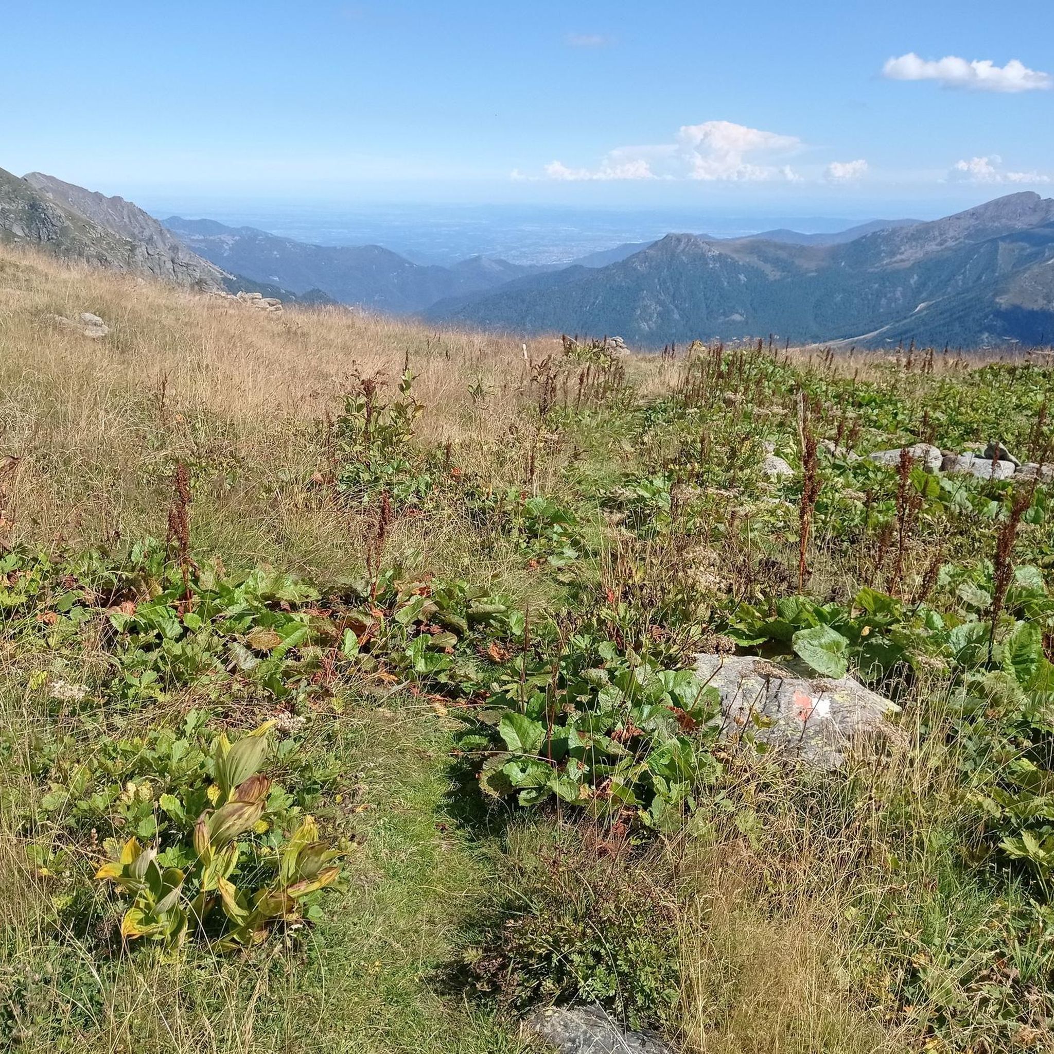
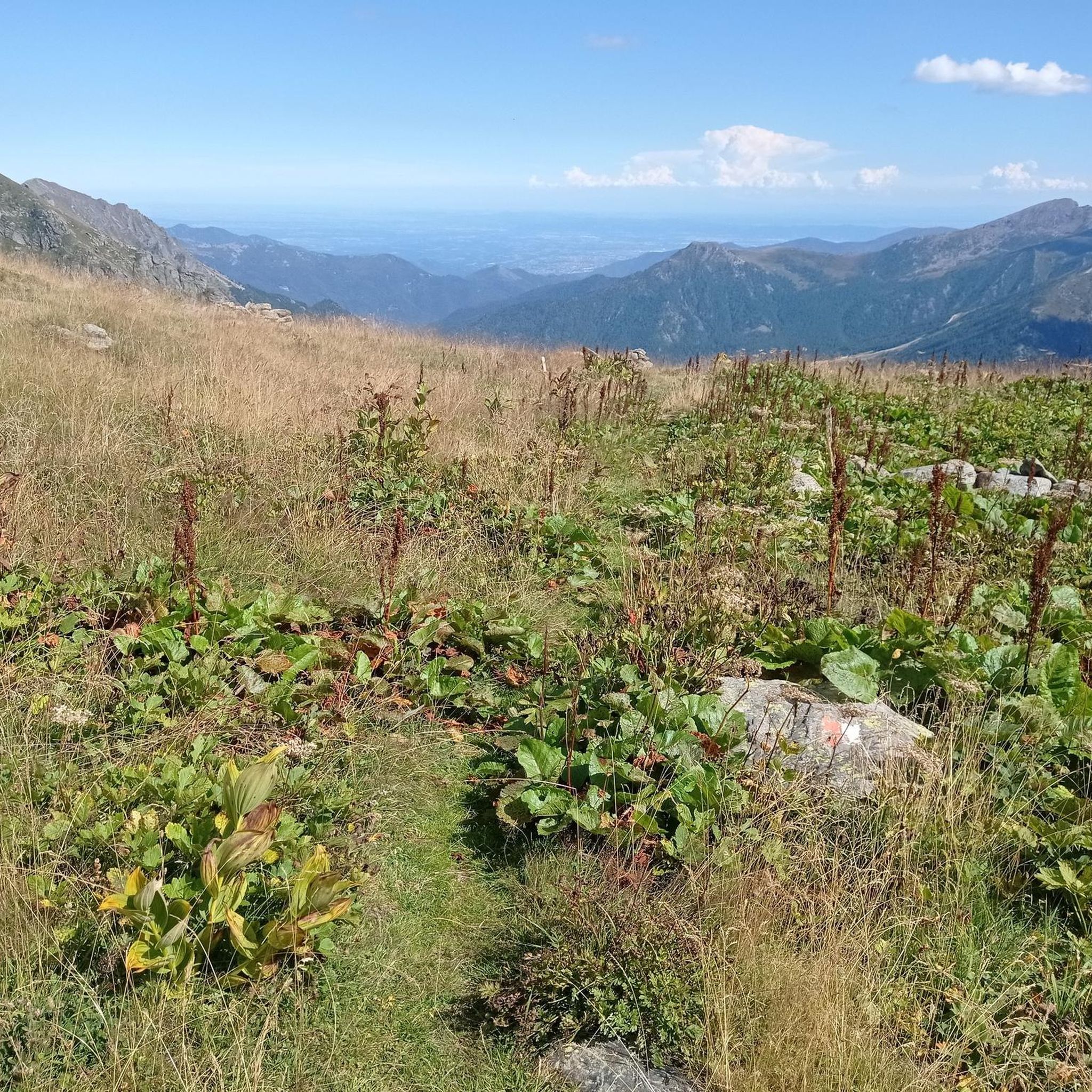
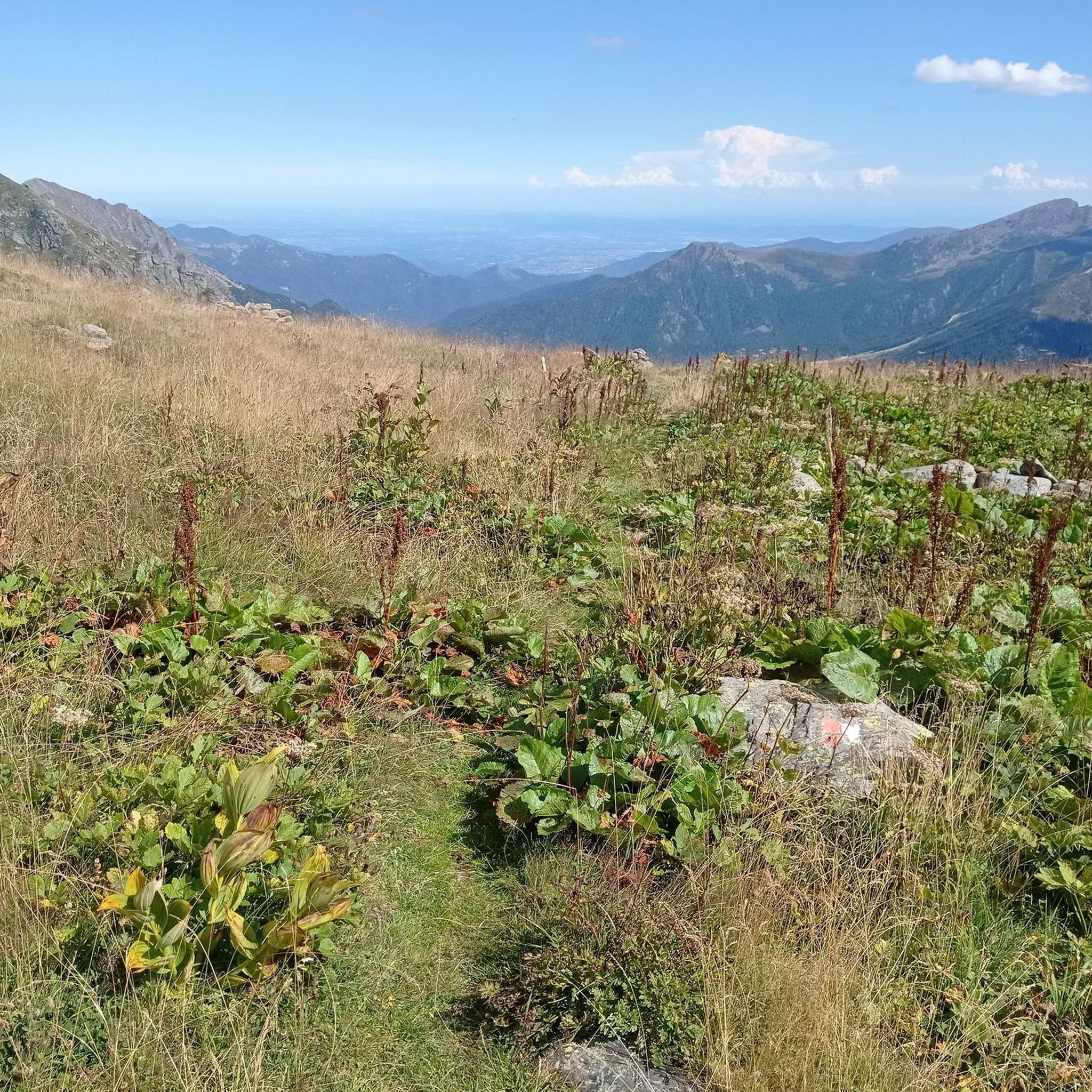
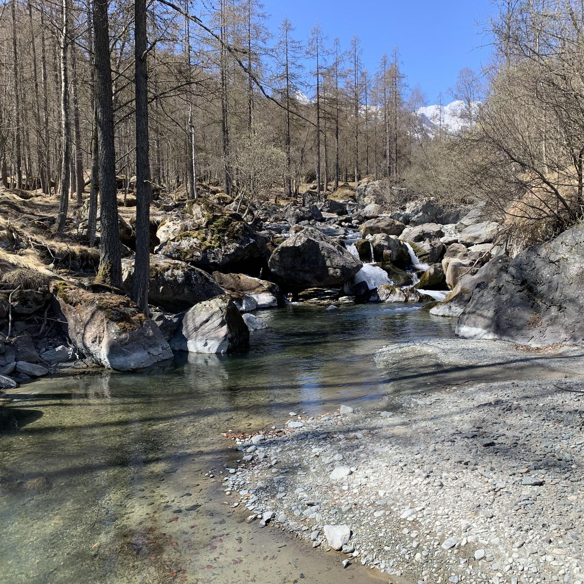
Jogging routes around Ala di Stura traverse a landscape characterized by varied elevations, ranging from 600 to over 3000 meters, within the Val d'Ala in Piedmont, Italy. The region features green meadows, thick woods, and the Stura river, providing diverse natural settings for running. Trails often wind through mountainous terrain, offering views of peaks like Bessanese and Uja di Mondrone.
Best jogging routes around Ala Di Stura
- The most popular jogging route is Hannibal's Way Sky Marathon, a 25.1…
Last updated: May 20, 2026
53
runners
40.4km
07:44
2,900m
2,890m
Hard run. Very good fitness required. Sure-footedness, sturdy shoes and alpine experience required.
3
runners
9.82km
01:29
460m
450m
Hard run. Very good fitness required. Mostly paved surfaces. Suitable for all skill levels.

Sign up for free
1
runners
11.1km
02:13
1,030m
1,030m
Hard run. Very good fitness required. Sure-footedness, sturdy shoes and alpine experience required.
1
runners
6.09km
01:28
670m
670m
Hard run. Very good fitness required. Sure-footedness, sturdy shoes and alpine experience required.
7.28km
01:11
530m
530m
Hard run. Very good fitness required. Sure-footedness, sturdy shoes and alpine experience required.
Get access to more routes and recommendations from other explorers.
Sign up for free
Already have an account?
Our route recommendations are based on thousands of hikes, rides, and runs completed by other people on komoot.
Start today with a free account
Your next adventure awaits.
Login or Signup

Tips from the Community

A beautiful panoramic viewpoint. Also noteworthy are the numerous votive shrines, some well-restored, dotted along the trail.
0
0

Evidence of the ancient shepherds' dwellings
0
0

Those who intend to climb up to this town by bike must take into account about 300 m. of altitude difference with almost always double-digit gradients, on a road that, if it rains, becomes very delicate to travel downhill. Having clarified this, the town is delightful and deserves a visit, both for the care with which many of the old huts have been restored, and for the many "embellishments" that peep out along the alleys, in the entrance halls or from the windows. It is recommended to follow the itinerary as per the track, then proceeding, bike at your side, through the narrow streets, stopping to read the many stories of ordinary people who have lived here. Unfortunately, the only bar in the town at this time (end of March) was closed... the only negative point!
0
0

Malciaussia never disappoints, for those who can better avoid the trip on weekends
0
0

Huge erratic boulder in the middle of the forest with many esoteric tales
0
0

The sanctuary is located along the Lemie ring after a nice steep uphill stretch... once you arrive the view repays the effort
0
0
Chapel of the Forno di Lemie hamlet, dating back to the 14th century and still in an excellent state of preservation
0
0
Frequently Asked Questions
How many running routes are available in Ala Di Stura?
Ala Di Stura offers a wide selection of running routes, with over 35 trails to explore. These routes cater to various preferences, from challenging mountain runs to more leisurely paths through meadows and woods.
What kind of terrain can I expect on the jogging trails around Ala Di Stura?
The jogging trails in Ala Di Stura feature diverse terrain, characterized by varied elevations ranging from 600 to over 3000 meters. You'll find paths winding through dramatic mountainous scenery, green meadows, and thick woods. The presence of the Stura river and its tributaries also means some routes offer scenic views along the water.
Are there running routes suitable for beginners in Ala Di Stura?
While many routes in Ala Di Stura are challenging, there is at least one easy running route available. Additionally, the 7.5 km Nordic ski run across the plateau hosting the hamlet of Villar transforms into a relatively flat option during warmer months, which can be suitable for beginners.
What do other runners say about the trails in Ala Di Stura?
The running routes in Ala Di Stura are highly rated by the komoot community, with an average score of 4.3 stars from 6 reviews. Over 390 runners have used komoot to explore the varied terrain, often praising the stunning mountain vistas and diverse natural environments.
Are there any scenic viewpoints or natural features to discover while running in Ala Di Stura?
Absolutely! Many running routes offer breathtaking views of peaks like Bessanese, Uja di Mondrone, and Monte Rosso. You can also find trails along the Stura river, near the scenic Cascate di Gura (waterfalls), or leading to beautiful lakes such as Lago di Dres or Lake della Rossa. Some routes also pass through tranquil natural settings near the Salvin Hut.
Can I find routes that pass by historical or cultural landmarks in Ala Di Stura?
Yes, several routes offer cultural interest. For instance, the Chapels around Lemie – loop tour in the province of Turin offers a mix of alpine scenery and cultural points of interest. You might also encounter the historical Santuario di Martassina or the ancient Ponte del Diavolo, which add unique charm to your run. The village itself is known for its numerous sundials and frescoes, making for an engaging run through its hamlets.
Are there any family-friendly running paths in the Ala Di Stura area?
For families, the relatively flat 7.5 km Nordic ski run across the plateau hosting the hamlet of Villar can be a good option during warmer months. While many routes are challenging, looking for paths through green meadows and less steep sections can provide a more relaxed experience for all ages.
Can I bring my dog on the running trails in Ala Di Stura?
Generally, dogs are welcome on most outdoor trails in the Ala Di Stura region. However, it's always advisable to keep your dog on a leash, especially in areas with wildlife or near livestock, and to carry waste bags to maintain the cleanliness of the natural environment.
Are there circular running routes available in Ala Di Stura?
Yes, there are several circular running routes. Popular options include the Chapels around Lemie – loop tour in the province of Turin, the Cantoira Alpine Villages Loop, and the Bec di Mea Loop from Bussoni. These loops allow you to start and finish in the same location, offering convenience and varied scenery.
What is the best time of year for jogging in Ala Di Stura?
The warmer months, from late spring to early autumn, are generally the best time for jogging in Ala Di Stura. During this period, the trails are free of snow, and the weather is pleasant, allowing you to fully enjoy the green meadows, thick woods, and stunning mountain views. Some cross-country skiing circuits also transform into excellent running paths during these months.
Are there any advanced or challenging running trails for experienced runners?
Ala Di Stura is an excellent destination for experienced runners seeking a challenge. Many of the 31 difficult routes feature significant elevation gain and mountainous terrain. For example, the Hannibal's Way Sky Marathon is a demanding 40.4 km trail with substantial elevation changes, perfect for advanced trail runners.
Where can I find parking for the running routes in Ala Di Stura?
While specific parking details for each route vary, Ala Di Stura and its surrounding hamlets generally offer parking options. It's recommended to check the starting points of individual routes on komoot for the most accurate information on nearby parking facilities.
Are there options for public transport to reach the running trails?
Public transport options in mountainous regions like Ala Di Stura can be limited. While local bus services might connect some villages, having a car often provides the most flexibility to access various trailheads. It's best to research local bus schedules if you plan to rely on public transport for specific starting points.
Most popular attractions around Ala Di Stura

Get inspired with the komoot mobile app


Explore more
Browse the best Running Trails & Routes in other regions.
