The best running trails around Pratiglione
4.6
(57)
2,259
runners
224
runs
Jogging around Pratiglione offers a diverse landscape for runners, characterized by its mountainous terrain and deep valleys. The region features numerous trails that ascend to prominent peaks like Monte Soglio and Cima Mares, providing significant elevation changes. Runners can expect routes that traverse forested areas and open mountain slopes, often starting from villages nestled in the valleys. This varied topography presents options for challenging long-distance running.
Best jogging routes around Pratiglione
- The most popular jogging route is Monte Soglio loop…
Last updated: May 25, 2026
4.0
(3)
220
runners
Hard run. Very good fitness required. Sure-footedness, sturdy shoes and alpine experience required.
4.0
(1)
72
runners
46.2km
07:16
2,430m
2,430m
Hard run. Very good fitness required. Sure-footedness, sturdy shoes and alpine experience required.

Sign up for free
38
runners
11.6km
01:19
290m
300m
Moderate run. Good fitness required. Mostly paved surfaces. Suitable for all skill levels.
23
runners
13.2km
02:43
1,100m
1,100m
Hard run. Very good fitness required. Sure-footedness, sturdy shoes and alpine experience required.
13
runners
Hard run. Very good fitness required. Sure-footedness, sturdy shoes and alpine experience required.
Get access to more routes and recommendations from other explorers.
Sign up for free
Already have an account?
Our route recommendations are based on thousands of hikes, rides, and runs completed by other people on komoot.
Start today with a free account
Your next adventure awaits.
Login or Signup

Tips from the Community

You can see everything and it can be reached from several different places
0
0

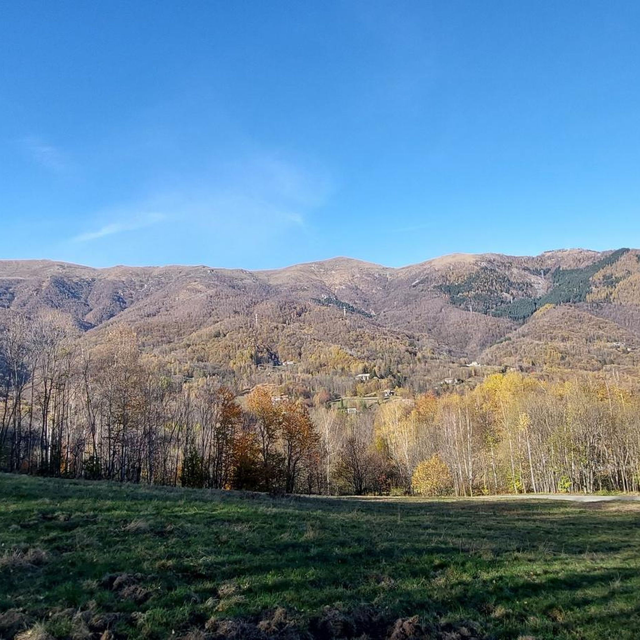
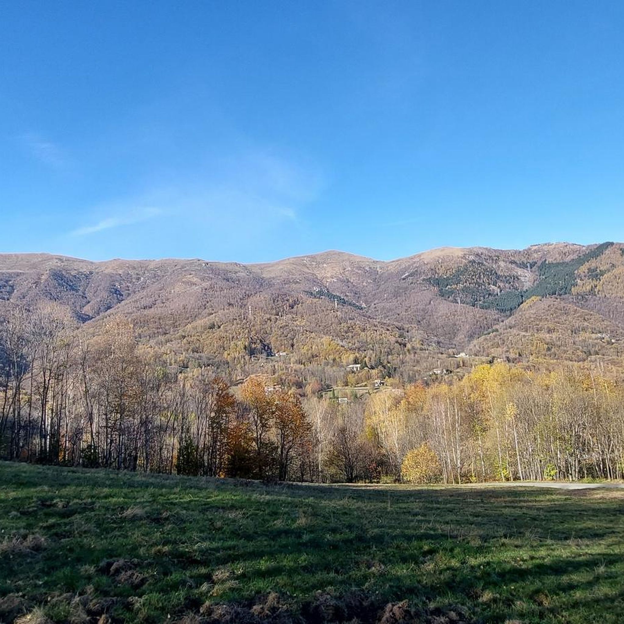
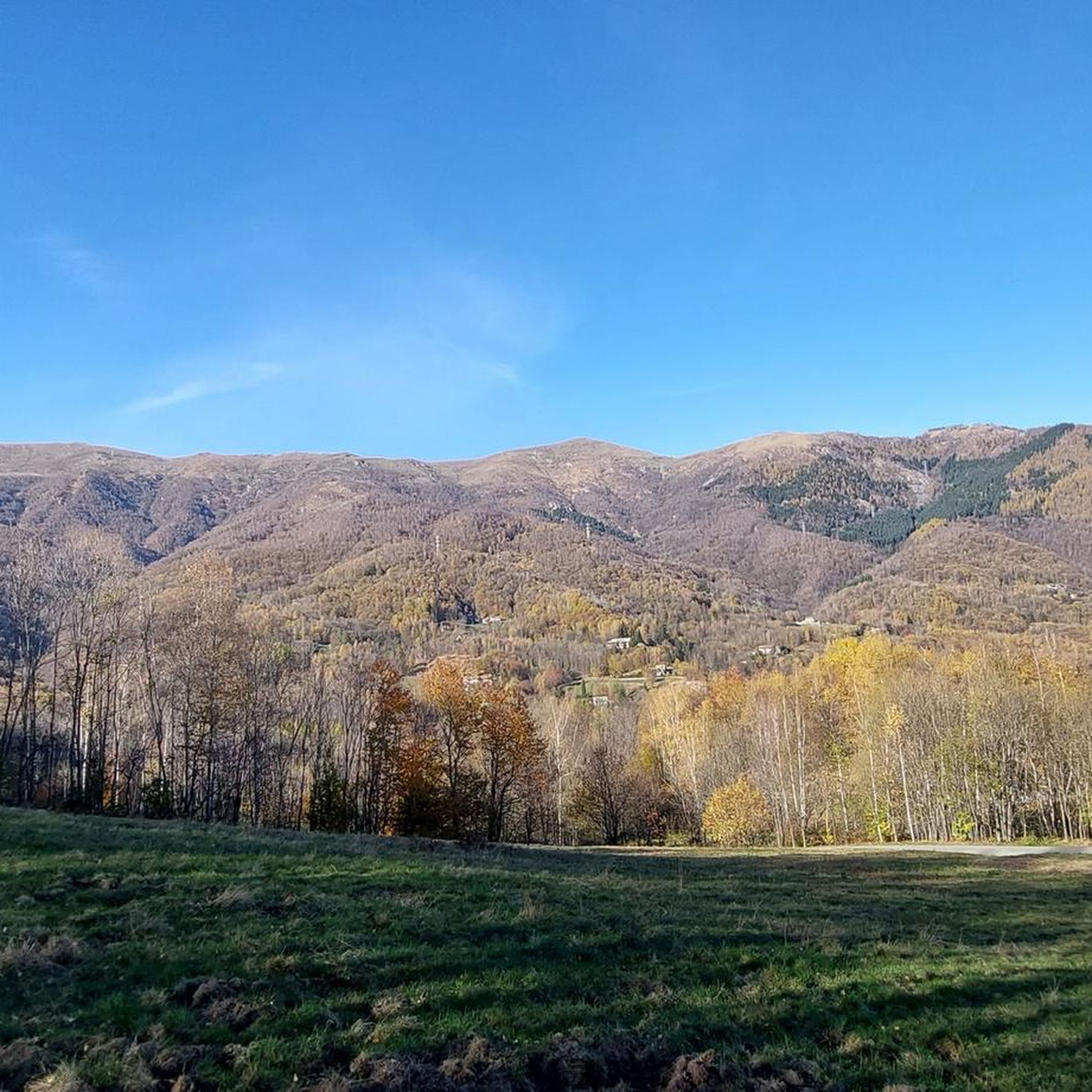
On Cima Mares there isn't much, apart from a cross and the repeaters, but the panorama is worth the effort to climb it, the view actually ranges from the Maritime Alps, which are very clearly distinguishable in conditions of good visibility, then moving your gaze to the right you encounter Monviso, a good part of the peaks of Cuneese and the lower Susa valley, because the upper part is screened by the silhouette of Monte Soglio, which forms the watershed between the Orco valley and the Lanzo valleys. To the right, overlooking the upper part of the valley towards Ceresole, you can admire the satellites of G. Paradiso and other minor peaks, which however almost all exceed 2500 meters and offer a grandiose spectacle.
0
0

Beautiful trail, fast and flow
0
0

Very beautiful panorama, you can see all of Turin and then the MTB descents are very very beautiful
0
0

Beautiful refuge and panorama at 1700 m altitude at the end of a long and challenging climb
1
0

Very panoramic, 360 degree view
0
0

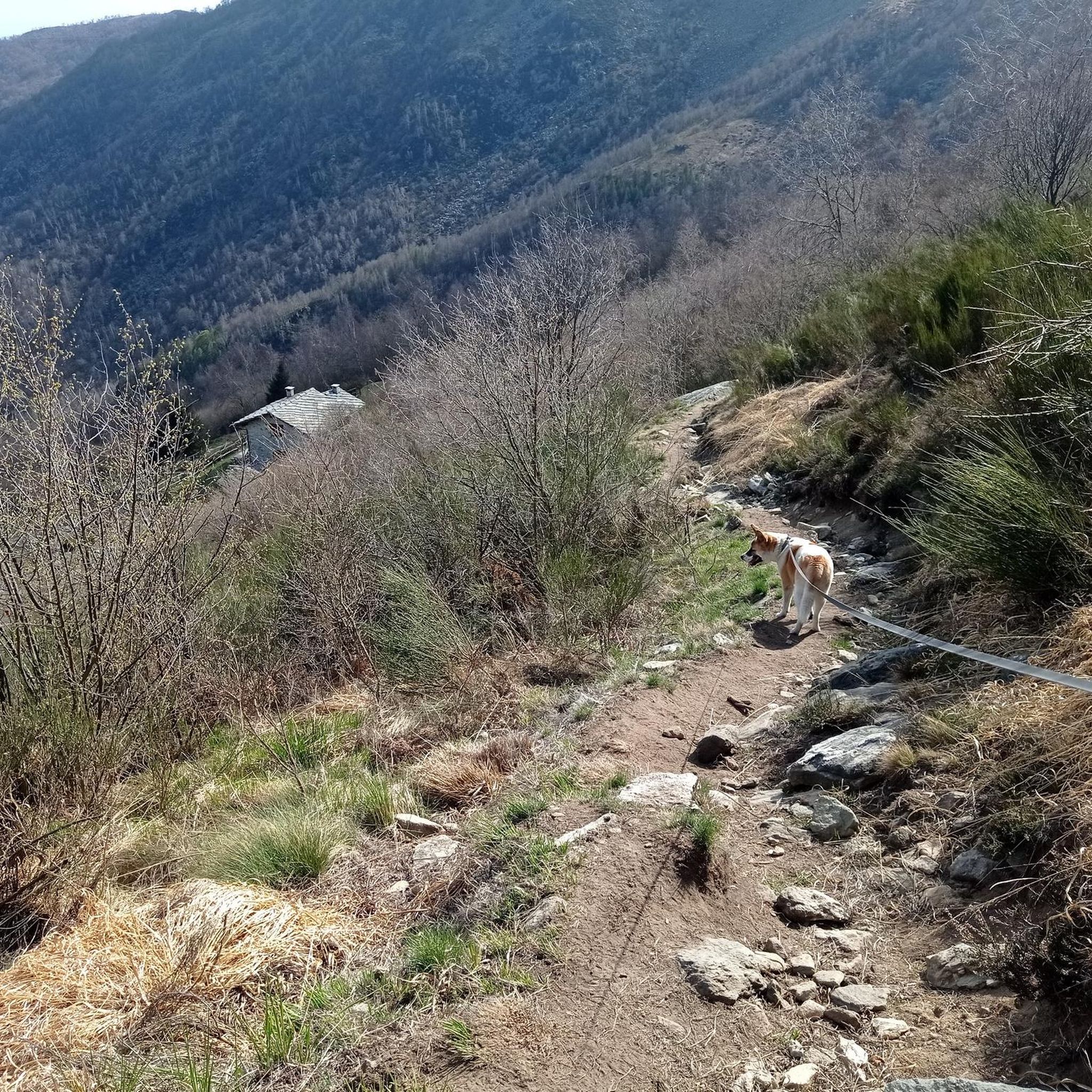
Very beautiful panorama at the top, satisfying view, but the climb to get there.... very tough, average gradient above 10%, peaks above 15%, on a path rather damaged by the rains of recent months. Grooves, exposed rocks and sand... having my foot on the ground in many sections was inevitable for me, and starting up on those slopes isn't always easy. I climbed with a gravel bike but it's not a problem with the vehicle, tires or gears... if you like hiking with a bike or cycle mountaineering then it's ok. Otherwise 2 hours on foot and you'll get there anyway
0
0

Currently closed, I don't know when it reopens or if it reopens
2
0
Frequently Asked Questions
How many running routes are available around Pratiglione?
There are over 170 running routes documented around Pratiglione on komoot, offering a wide range of options for different fitness levels and preferences.
Are there any easy or beginner-friendly running routes in Pratiglione?
While many routes in Pratiglione feature significant elevation changes due to the mountainous terrain, there are 6 routes classified as easy. The majority, 106 routes, are considered moderate, offering a good balance for runners with some experience.
Can I find circular running routes in Pratiglione?
Yes, many of the running trails in Pratiglione are circular, allowing you to start and finish at the same point. For example, the challenging Monte Soglio loop from Forno Canavese is a popular circular option.
What kind of views can I expect on the running trails in Pratiglione?
The running routes in Pratiglione offer expansive views across deep valleys and towards prominent peaks like Monte Soglio and Cima Mares. Many trails ascend to high points, providing panoramic vistas of the surrounding mountainous landscape. You can experience these views on routes such as the Monte Soglio – Cima Mares loop from Forno Canavese.
Are there any interesting landmarks or attractions along the running routes?
Yes, several routes pass by notable landmarks. For instance, the Val Mill (Dutch Mill) – Bandit's Chapel and Fountain loop from Forno Canavese takes you past the historic Bandit's Chapel and Fountain. Other highlights in the region include the Monte Soglio Summit and Madonna Statue and the Salvin Hut.
What do other runners enjoy the most about running in Pratiglione?
The running routes in Pratiglione are highly rated by the komoot community, with an average score of 4.3 stars from over 50 reviews. Runners often praise the challenging mountain ascents, the diverse forested paths, and the rewarding panoramic viewpoints that define the region's trails.
Are there any running routes suitable for families in Pratiglione?
While many routes are challenging, the region does offer some easier options that might be suitable for families looking for a less strenuous run or walk. Look for routes classified as 'easy' on komoot, which typically have less elevation gain and shorter distances.
What is the best time of year for running in Pratiglione?
The best time for running in Pratiglione generally depends on the specific route and elevation. Spring and autumn offer pleasant temperatures and vibrant scenery. Summer can be warm, especially at lower altitudes, while winter running may require appropriate gear for snow and ice, particularly on higher mountain trails.
Are there any running trails that offer a good workout with significant elevation gain?
Absolutely. Pratiglione is known for its mountainous terrain, and many routes feature substantial ascents. The Monte Soglio loop from Santuario dei Milani, for example, is a 6.4-mile trail with over 1000 meters of elevation gain, providing a challenging workout for experienced runners.
What should I wear for running in Pratiglione?
Given the varied terrain and potential for significant elevation changes, it's advisable to wear layered clothing that can adapt to changing weather conditions. Sturdy trail running shoes with good grip are essential for navigating rocky paths and uneven surfaces. Always check the weather forecast before heading out.
Are there any running routes that lead to a summit or peak?
Yes, many routes in Pratiglione lead to prominent peaks. The Cima Mares loop from Forno Canavese is a challenging route that takes you towards Cima Mares, offering rewarding summit experiences and views.
Most popular routes around Pratiglione
Most popular attractions around Pratiglione

Get inspired with the komoot mobile app


Explore more
Browse the best Running Trails & Routes in other regions.
