The best walks and hikes around Montalenghe
4.4
(425)
1,726
hikers
210
hikes
Hiking around Montalenghe offers diverse terrain within Italy's Piedmont region, characterized by its location at the foot of a morainic hill. This glacial formation provides varied landscapes, ranging from elevations of 280 to 436 meters, offering panoramic views across the flatlands. The area features a mix of hilly sections, agricultural land, and unique geological formations like glacial erratic boulders. These elements create a varied environment for outdoor exploration.
Best hiking trails around Montalenghe
- The most popular hiking route is Cuceglio…
Last updated: May 12, 2026
1
hikers
6.14km
01:39
70m
70m
Peaceful countryside trail through Piedmont's rolling hills ending at the mysterious Galleria della Pietra Grossa.
1.0
(1)
1
hikers
7.42km
02:02
120m
120m
Peaceful countryside walk connecting Piedmont villages through rolling farmland and quiet country roads.

Sign up for free
4.8
(5)
10
hikers
11.3km
03:08
200m
200m
Moderate hike. Good fitness required. Easily-accessible paths. Suitable for all skill levels.
4.7
(10)
29
hikers
Moderate hike. Good fitness required. Easily-accessible paths. Suitable for all skill levels.
5.0
(4)
22
hikers
21.1km
05:50
360m
360m
Hard hike. Very good fitness required. Easily-accessible paths. Suitable for all skill levels.
Get access to more routes and recommendations from other explorers.
Sign up for free
Already have an account?
Our route recommendations are based on thousands of hikes, rides, and runs completed by other people on komoot.
Start today with a free account
Your next adventure awaits.
Login or Signup
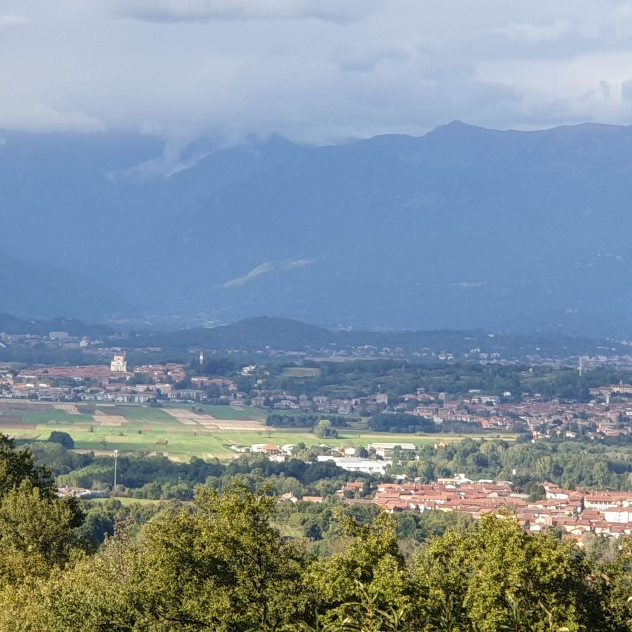
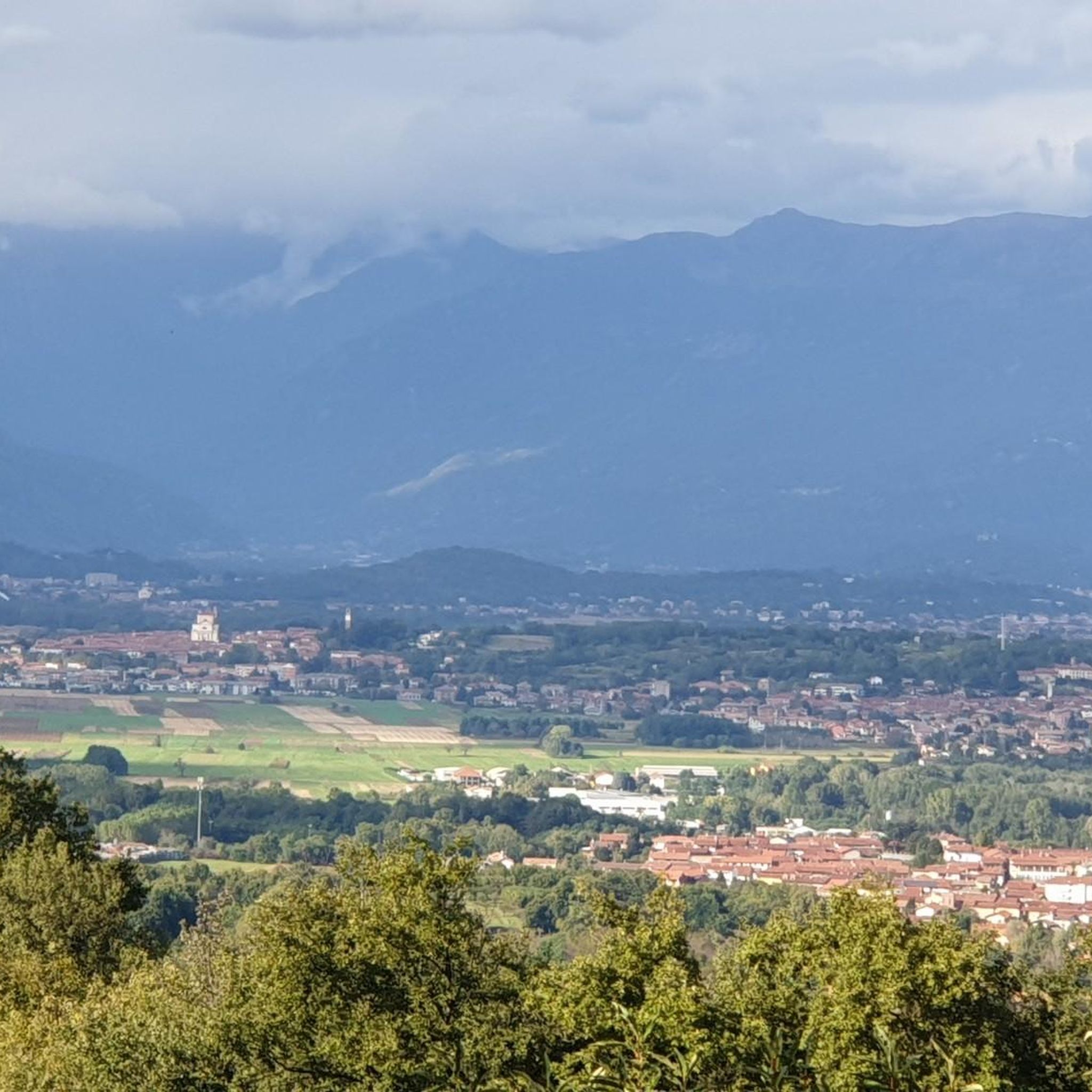

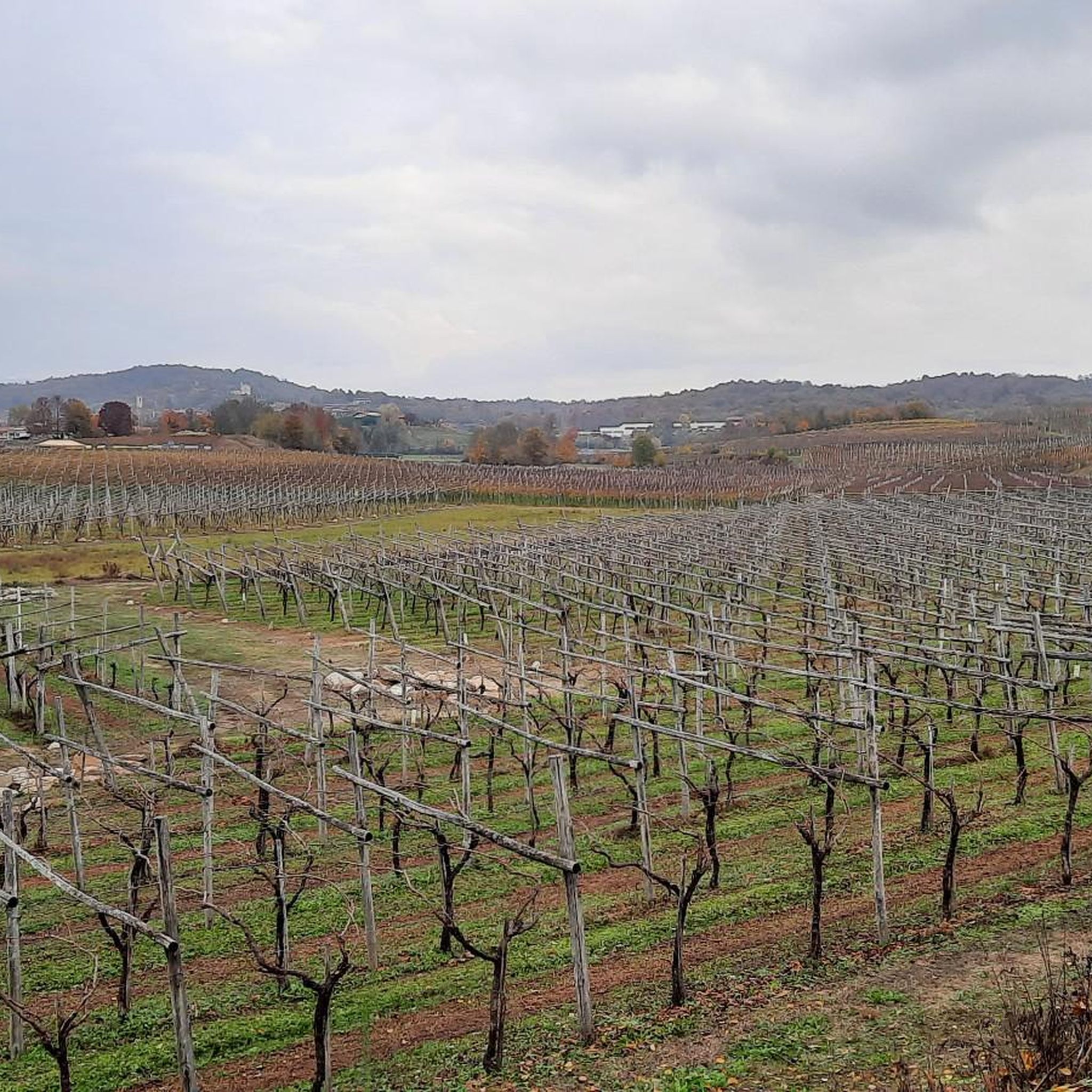
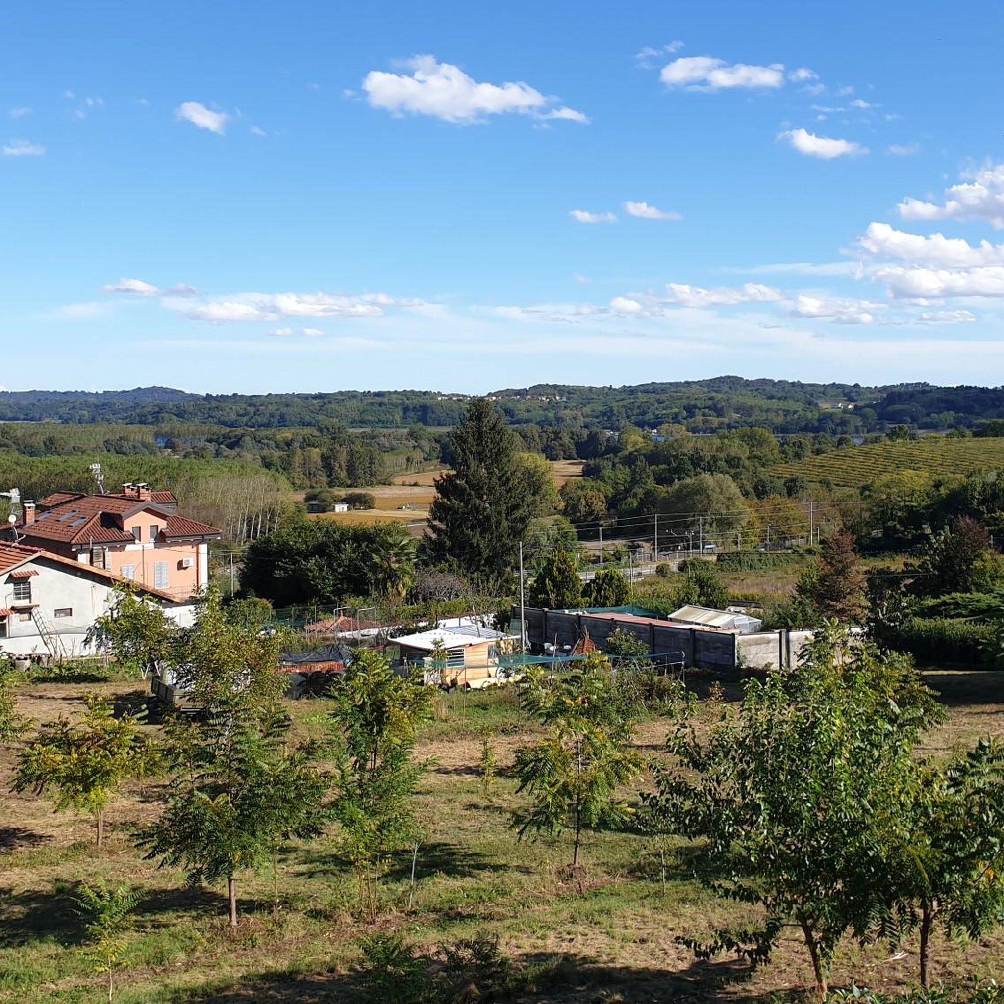
Tips from the Community


Canal gallery dating back to 1764
0
0

Beautiful old town with imposing buildings and views of the mountains.
0
0

we were lucky enough to find it open and so in addition to the bike ride, there was also a Christian visit to the crypt
0
0

Agliè, an enchanting village in the heart of Canavese, boasts a thousand-year history that has its roots in the Roman era. The original nucleus, probably located on the hills of the current hamlet of Santa Maria delle Grazie, was known as "Macunciacum" and depended on the Abbazia Fruttuaria di San Benigno. Agliè, as a fortified village, emerges in documents in 1141, when the feudal lords of Canavese divided the territory. The town became one of the lands of the San Martino di Rivarolo and Agliè, a family that would profoundly mark the history of the village. Despite the feudal struggles that raged in the region, Agliè maintained relative stability, even if it was not immune to looting and devastation. With the arrival of the Savoy, Agliè experienced a period of growth and development. In 1448, the village obtained municipal statutes, a sign of autonomy and recognition. The most emblematic figure of this period was Count Filippo San Martino di Agliè, a man of culture and prominent politician. Minister of Cristina of France, regent of the Duchy of Savoy, Filippo transformed the castle of Agliè into a sumptuous residence, enriching it with works of art and gardens. Today, Agliè is a village that preserves its historical and artistic charm intact. The Ducal Castle, with its gardens and richly decorated rooms, is an unmissable destination for visitors. The streets of the village, with their stone houses and noble palaces, tell the story of a place that has managed to preserve its identity over the centuries.
0
0
The car park is freely accessible at all hours, it is free and unattended.
0
0
A large car park a few hundred metres from Agliè Castle, an excellent starting and meeting point for visiting Morena Ovest by bike
0
0
Small intra-moraine lake, fed by rainwater from the small indentation created by the Balteo Glacier in this moraine which dates back more than one hundred thousand years.
0
0
Frequently Asked Questions
How many hiking trails are available around Montalenghe?
Montalenghe offers a wide selection of hiking opportunities, with over 190 routes available. These trails cater to various preferences, from gentle strolls through agricultural lands to more challenging ascents on the morainic hills.
What kind of terrain can I expect on hikes in Montalenghe?
The terrain around Montalenghe is quite diverse, characterized by its location at the foot of a morainic hill. You'll find a mix of hilly sections, predominantly agricultural land, and unique geological formations. The morainic hills offer varied terrain, while the flatlands provide gentler paths through fields and quiet country roads.
Are there easy hiking options suitable for beginners or families in Montalenghe?
Yes, Montalenghe has plenty of easy hiking options. Approximately 85 of the routes are rated as easy, perfect for beginners or families looking for a relaxed walk. An example is the San Giorgio to Galleria della Pietra Grossa (via Trail 136), which offers a gentle path through the local landscape.
Can I find circular hiking routes in the Montalenghe area?
Yes, circular routes are available. For instance, the Vialfrè Loop – Forest Path loop from San Giorgio Canavese is an easy 7.2 km (4.5 miles) trail that allows you to experience the local scenery without retracing your steps.
What natural attractions or landmarks can I see while hiking near Montalenghe?
The region is rich in natural attractions. You can encounter impressive glacial erratic boulders, particularly near Vialfrè, which are unique geological points of interest. The Glacial Erratic Boulders of Vialfrè and Erratic Boulders Trail - Boulder No. 1 are notable examples. Additionally, you can find beautiful lakes like Lake Candia and Lake Paolet.
Are there any hikes with good viewpoints in Montalenghe?
Montalenghe's elevation, ranging up to 436 meters at the top of its morainic hill, provides expansive panoramic views. Many trails offer vistas across the flatlands, extending all the way to Turin, especially from higher points on the morainic hills.
What do other hikers say about the trails in Montalenghe?
The hiking trails in Montalenghe are highly regarded by the komoot community, with an average rating of 4.4 stars from over 390 reviews. Hikers often praise the varied terrain, the tranquility of the countryside, and the unique geological features like the erratic boulders.
What is the best time of year to go hiking in Montalenghe?
The Piedmont region generally offers pleasant hiking conditions from spring through autumn. Spring brings blooming landscapes, while autumn provides comfortable temperatures and beautiful fall colors. Summer can be warm, but early mornings or late afternoons are often ideal. Winter hiking is possible, especially on lower elevation trails, but always check local conditions.
Are there any longer or more challenging hikes available in Montalenghe?
Yes, for those seeking more challenge, Montalenghe offers several moderate and a few difficult routes. There are over 100 moderate trails and 6 difficult ones. An example of a more challenging option is the Sodre Pilon – Lake Paolet loop from Cuceglio, a difficult 21.1 km (13.1 miles) route with significant elevation gain.
Where can I find unique geological features on a hike in Montalenghe?
The region is famous for its glacial erratic boulders, which are large rocks transported by ancient glaciers. You can explore these fascinating natural monuments on trails around Vialfrè. The Pine Forest – Masso Rabasso loop from Montalenghe specifically leads past unique rock formations, including the Masso Rabasso itself.
Are there any hikes that pass by lakes or water features?
While Montalenghe itself has an artificial canal and some spring-fed lakes, the nearby Lake Candia is a significant natural attraction. You can find walks around the lake, which is part of a natural park. Additionally, the Lake Paolet is another water feature you might encounter on longer routes.
Are the hiking trails in Montalenghe suitable for dogs?
Many trails in the Montalenghe area are suitable for dogs, especially the quieter countryside paths and forest loops. It's always advisable to keep dogs on a leash, particularly in agricultural areas or near wildlife, and to check specific trail regulations if available.
Most popular routes around Montalenghe
Most popular attractions around Montalenghe

Get inspired with the komoot mobile app


Explore more
Browse the best Hikes in other regions.
