The best walks and hikes around Burolo
4.4
(2373)
9,822
hikers
487
hikes
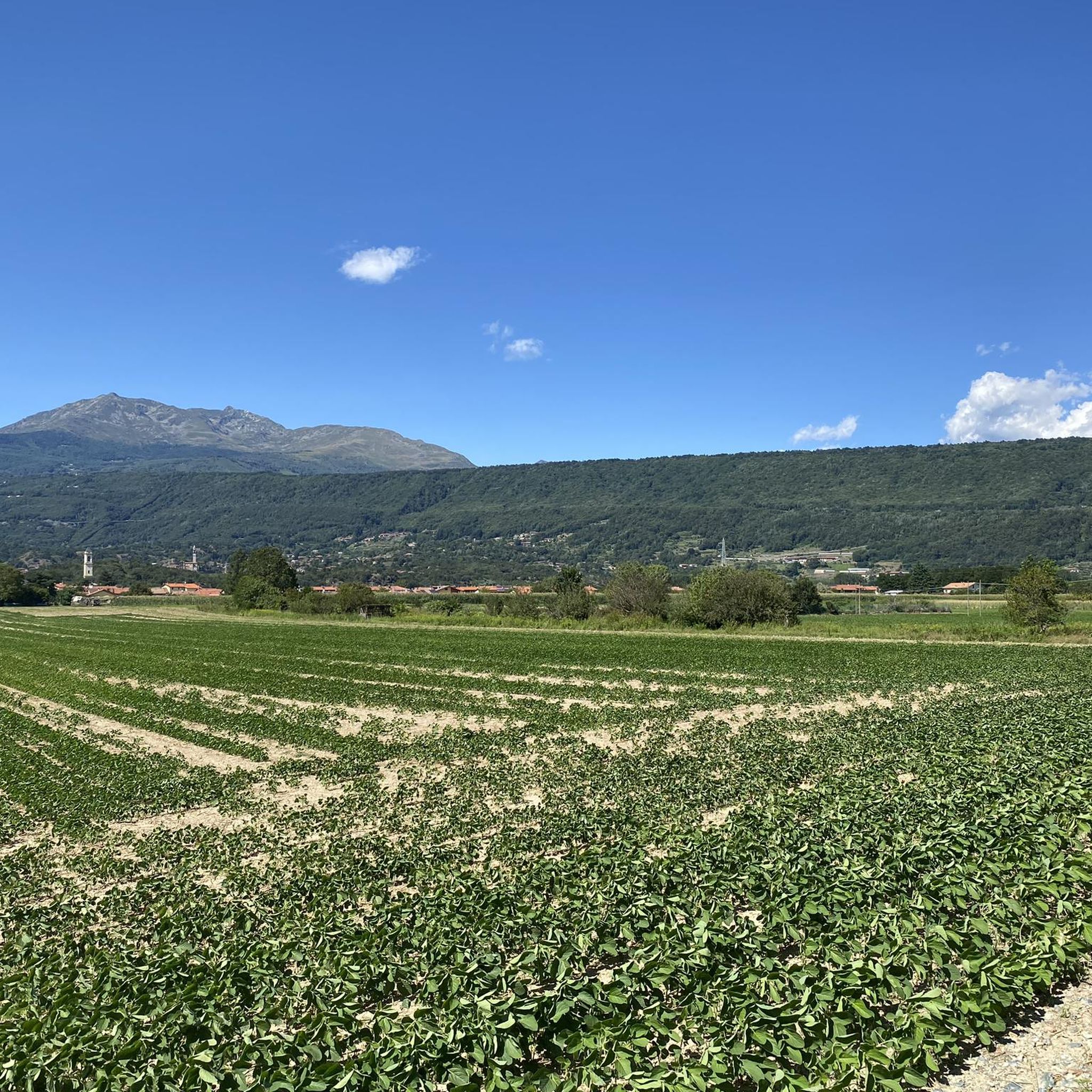
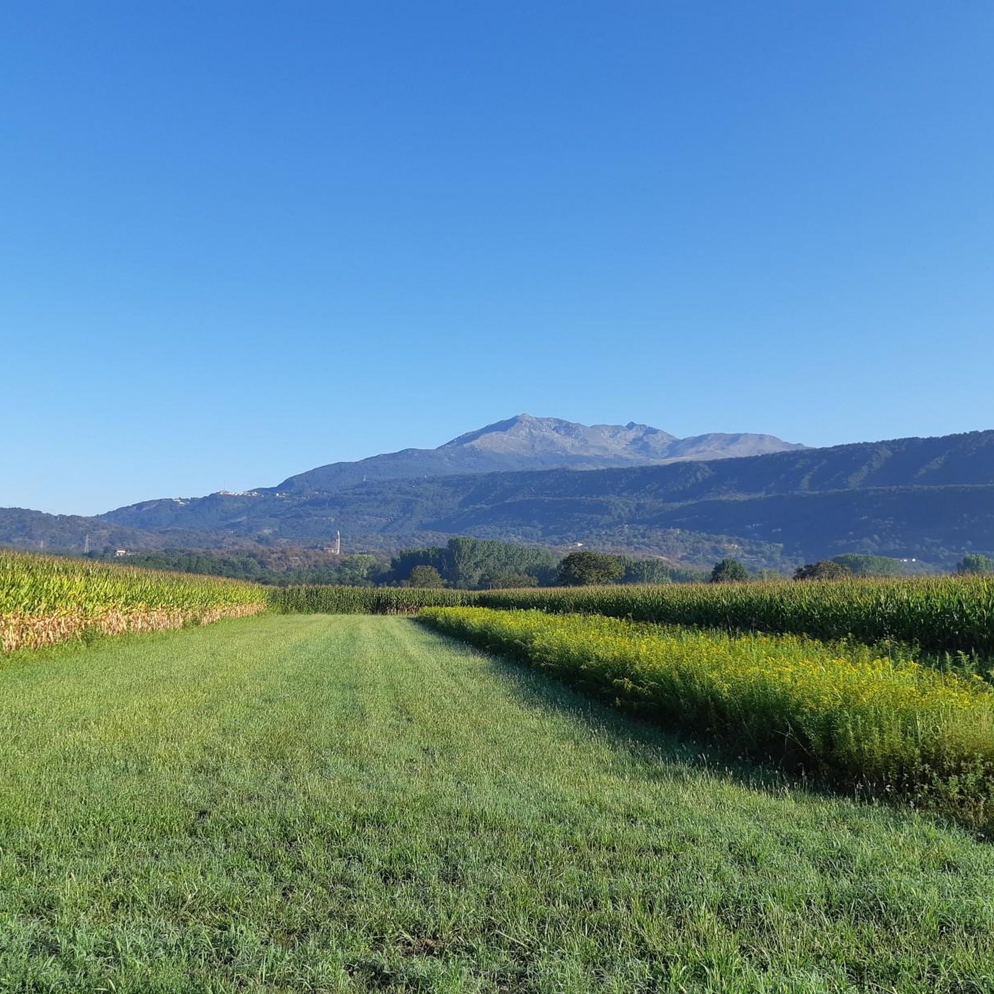
Hiking around Burolo offers a diverse landscape shaped by ancient glaciers, featuring the impressive Serra di Ivrea glacial amphitheater. The region is characterized by pristine lakes, including the Five Lakes of Ivrea, and unique geological formations. This varied terrain provides a range of hiking trails suitable for different skill levels.
Best hiking trails around Burolo
- The most popular hiking route is Serra di Ivrea Loop, a 10.0 miles (16.0 km) trail that takes 4 hours 45 minutes to complete.…
Last updated: September 30, 2026
4.5
(15)
35
hikers
16.0km
04:46
460m
460m
Moderate hike. Good fitness required. Mostly accessible paths. Sure-footedness required.
4.4
(9)
30
hikers
Easy hike. Great for any fitness level. Easily-accessible paths. Suitable for all skill levels.

5.0
(2)
8
hikers
11.5km
03:09
180m
180m
Moderate hike. Good fitness required. Easily-accessible paths. Suitable for all skill levels.
5.0
(1)
6
hikers
17.7km
05:19
540m
540m
Hard hike. Very good fitness required. Mostly accessible paths. Sure-footedness required.
4.6
(5)
9
hikers
11.4km
03:09
130m
130m
Moderate hike. Good fitness required. Mostly accessible paths. Sure-footedness required.
Get access to more routes and recommendations from other explorers.
Already have an account?
Our route recommendations are based on thousands of hikes, rides, and runs completed by other people on komoot.
Start today with a free account
Your next adventure awaits.

Tips from the Community

The Lago di Cossavela is a hidden gem of the Serra Morenica, nestled between the municipalities of Zimone and Viverone 🌊🌿. More than an open lake, it is a suggestive body of water surrounded by reeds and dense woods, making it a paradise for birdwatching and for those who love absolute silence 🦆📸. It is a wild and little-visited place, where nature reigns supreme and the reflections of the trees on the water create an almost mysterious atmosphere 🍃✨.
0
0

a nice point of arrival from Ivrea and an excellent starting point for all directions of the Morenica
0
0


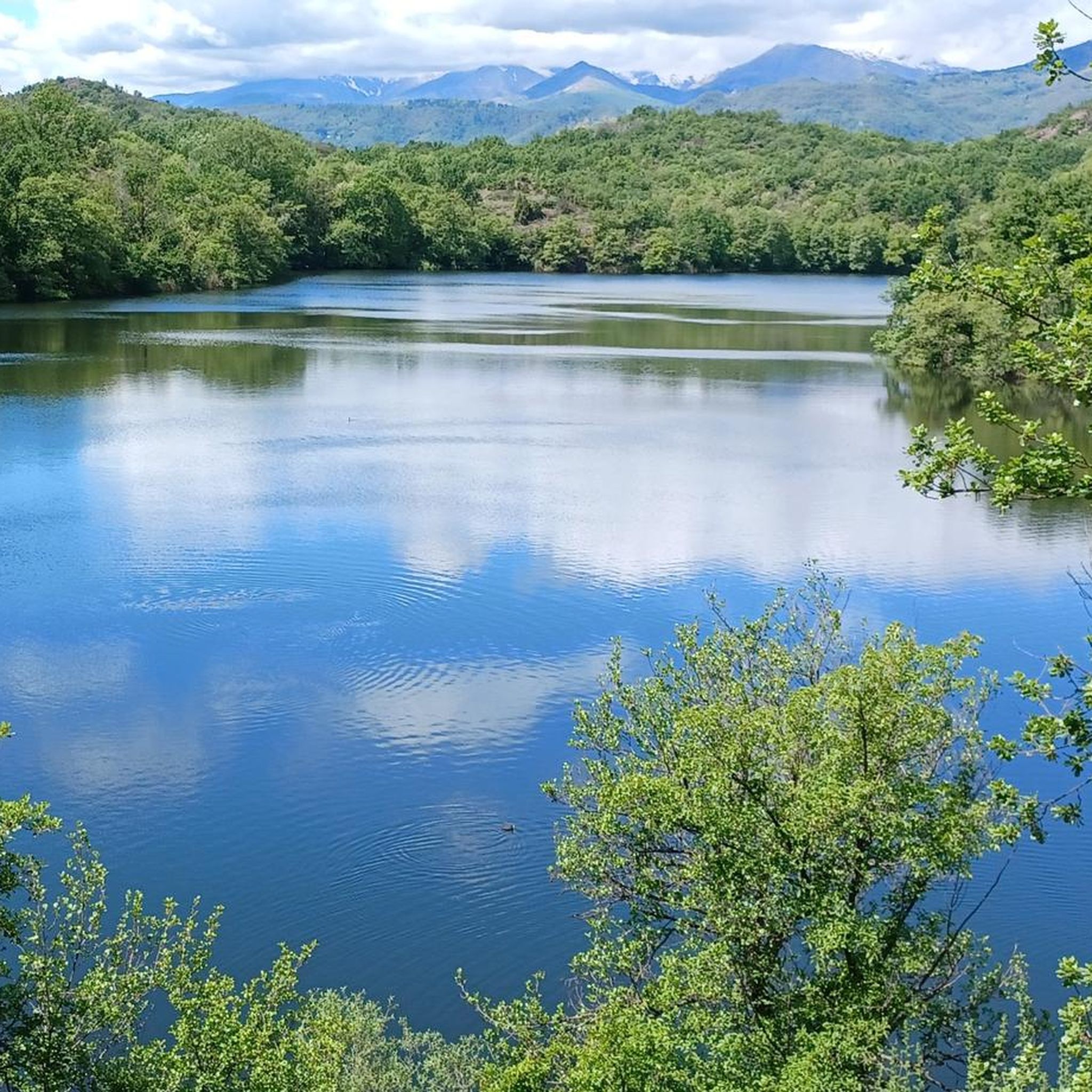
Lake Campagna, also known as "Lake Cascinette", is a glacial body of water formed with the retreat of the Balteo glacier. It is part of the suggestive system of the "Five Lakes of Ivrea", together with Lake Sirio, Lake Nero, Lake Pistono and Lake San Michele.
1
0

From the Bastia tower there is a beautiful view of Ivrea and the surrounding lakes
1
0
On this wooden tower there is a staircase where you can climb to the top and admire the view of the Ivrea lakes from the balcony. Just be careful because a wooden step is missing! The ridge path to get there is not difficult, flat and accessible to everyone.
1
0
accessible tower rebuilt on the ruins of an ancient watchtower
0
0

ANOTHER SMALL LAKE VERY BEAUTIFUL LIKE ALL THE TRAIL NOT OVERLY TECHNICAL BUT REQUIRES MTB.
0
0
Frequently Asked Questions
How many hiking trails are available around Burolo?
Burolo and its surroundings offer a wide variety of hiking opportunities, with nearly 450 distinct routes available. These trails cater to all skill levels, from easy strolls to more challenging treks through the glacial landscape.
What kind of terrain can I expect on hikes in Burolo?
The terrain around Burolo is primarily shaped by ancient glaciers, featuring the impressive Serra di Ivrea glacial amphitheater. You'll encounter diverse landscapes, including morainic hills, pristine lakes, and unique geological formations. Some trails, like those in the Serra di Ivrea, may include significant elevation changes and erratic boulders, while others, such as those around Lake Campagna, are flatter and easier.
Are there any easy hiking trails suitable for beginners or families in Burolo?
Yes, Burolo offers over 150 easy hiking routes perfect for beginners or families. A great option is The panoramic view of Lago di Campagna – loop tour from Cascinette in the Riserva Laghi di Ivrea, an easy 2.6 km path that provides beautiful views of Lake Campagna.
What are some unique natural attractions to see while hiking in Burolo?
Burolo boasts several unique natural attractions. Don't miss the 'Terre Ballerine' (Dancing Lands), a fascinating forest where the peat soil moves underfoot, creating a 'dancing' effect. You can also explore the 'lunar' landscape of the Bessa Gold Mining Archaeological Site, with its ancient stone mounds. The region is also home to the picturesque Five Lakes of Ivrea, including Lake Pistono.
Are there any challenging hikes for experienced hikers in the Burolo area?
Absolutely. For experienced hikers, there are nearly 50 difficult routes. A challenging option is the Serra di Ivrea Loop Trail, an 17.7 km route through the glacial amphitheater that takes over 5 hours to complete and features significant elevation changes.
What do other hikers say about the trails in Burolo?
The hiking trails in Burolo are highly regarded by the komoot community, holding an average rating of 4.5 stars from over 2000 reviews. Nearly 9000 hikers have explored the area using komoot, often praising the diverse glacial landscapes, the serene lakes, and the well-maintained paths that offer options for all ability levels.
Are there any circular hiking routes around Burolo?
Yes, many of the trails around Burolo are designed as circular routes, allowing you to start and end at the same point. For example, the Zubiena and Parogno in the Serra di Ivrea – loop from Torrazzo is a moderate 11.4 km loop that offers a great experience of the morainic amphitheater.
Can I find viewpoints or panoramic spots on the Burolo hiking trails?
Yes, the glacial landscape of Burolo offers numerous panoramic viewpoints. The View of Monte Cavallaria from Punta Montesino is a notable spot. Additionally, the Torre della Bastia, located near Andrate on the Alta Via dell'Anfiteatro Morenico, provides breathtaking views of the Canavese area and the Ivrea lakes.
Are there historical sites or landmarks accessible via hiking trails in Burolo?
Burolo's trails often pass by or lead to significant historical sites. The Bessa Gold Mining Archaeological Site is a prime example, showcasing ancient Roman gold mining activities. You can also explore the Ivrea Historic Centre and the Gate Tower and Corner Tower of Piverone, which are accessible from various routes in the region.
What is the best time of year to go hiking in Burolo?
Burolo offers pleasant hiking conditions for much of the year. Spring and autumn are particularly popular due to milder temperatures and vibrant natural colors. Summer is also suitable, especially for higher elevation trails or early morning hikes to avoid the midday heat. Winter hiking is possible, but some trails might require appropriate gear due to snow or ice.
Are there any long-distance pilgrimage routes that pass through the Burolo region?
Yes, for those interested in longer treks, sections of historic pilgrimage routes traverse the Burolo region. Both the Via Francigena, a medieval route from Canterbury to Rome, and the San Carlo Path offer scenic journeys through lakes, vineyards, and charming villages.
Most popular attractions around Burolo

Get inspired with the komoot mobile app


Explore more
Browse the best Hikes in other regions.
