The best road cycling routes around Siviriez
4.7
(42)
2,279
riders
184
rides
Road cycling routes around Siviriez traverse a varied landscape within the Glâne district of Fribourg, Switzerland. The area features an average altitude of 770 meters, with elevations ranging from 718 meters along the Glâne river to 909 meters in the Bois de Ban forest. This terrain includes extensive agricultural land and significant forest cover, providing diverse settings for road cyclists. The Glâne river flows through the commune, adding a natural water feature to the cycling environment.
Best road cycling routes…
Last updated: May 14, 2026
5.0
(2)
60
riders
46.6km
02:28
780m
780m
Moderate road ride. Good fitness required. Mostly well-paved surfaces and easy to ride.
5.0
(1)
42
riders
Moderate road ride. Good fitness required. Mostly well-paved surfaces and easy to ride.

Sign up for free
5.0
(2)
50
riders
Moderate road ride. Good fitness required. Mostly well-paved surfaces and easy to ride.
5.0
(1)
14
riders
29.4km
01:30
390m
390m
Moderate road ride. Good fitness required. Mostly well-paved surfaces and easy to ride.
18
riders
33.7km
01:44
440m
440m
Moderate road ride. Good fitness required. Mostly well-paved surfaces and easy to ride.
Get access to more routes and recommendations from other explorers.
Sign up for free
Already have an account?
Our route recommendations are based on thousands of hikes, rides, and runs completed by other people on komoot.
Start today with a free account
Your next adventure awaits.
Login or Signup
Tips from the Community

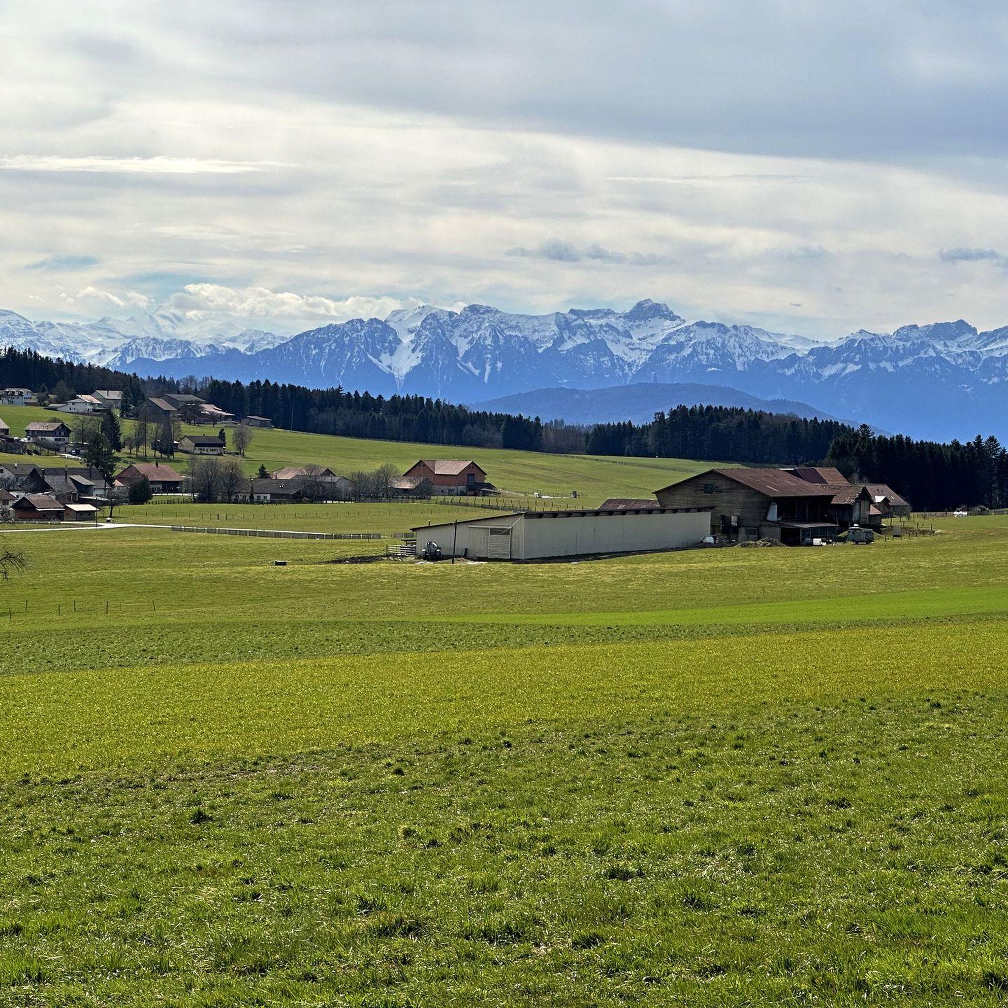
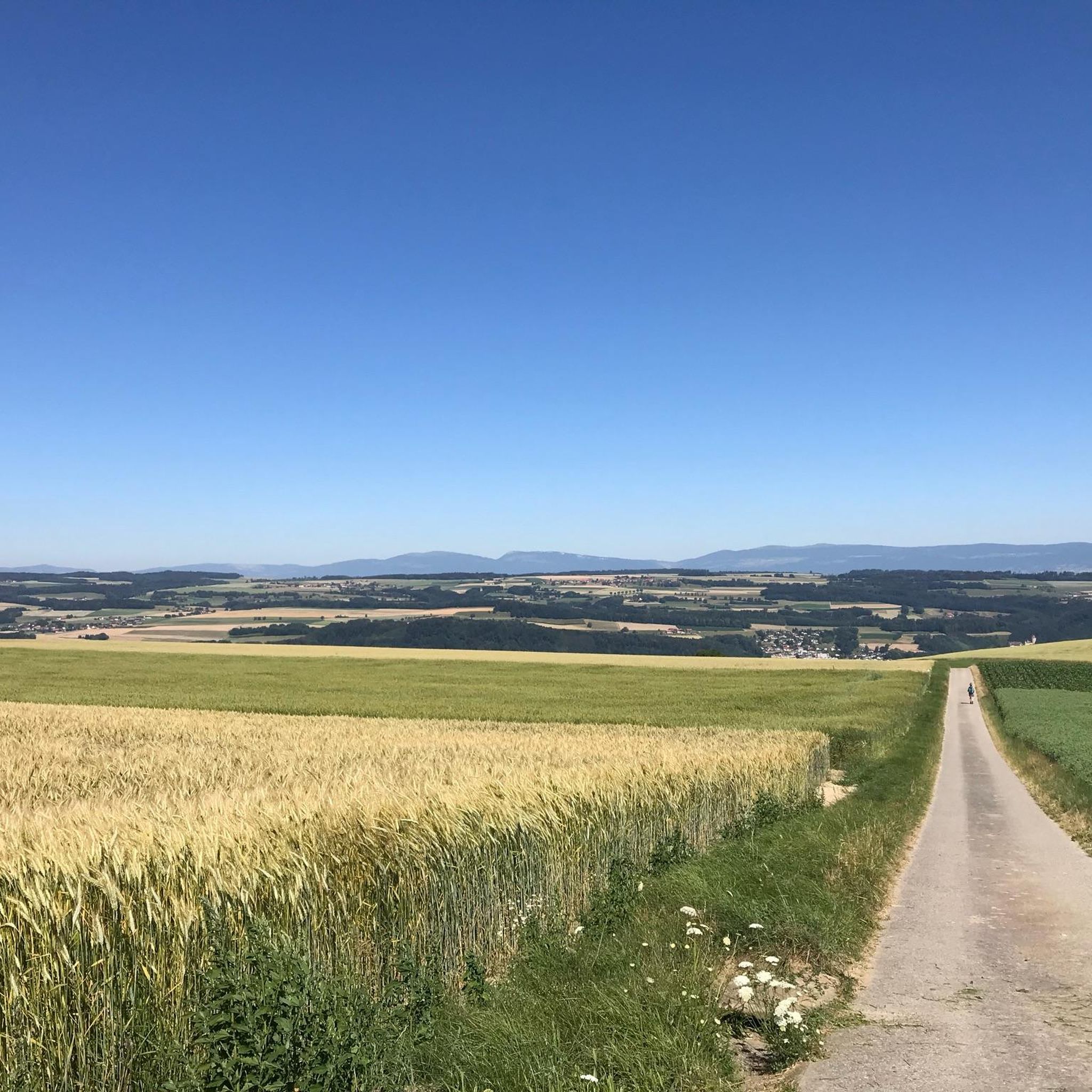
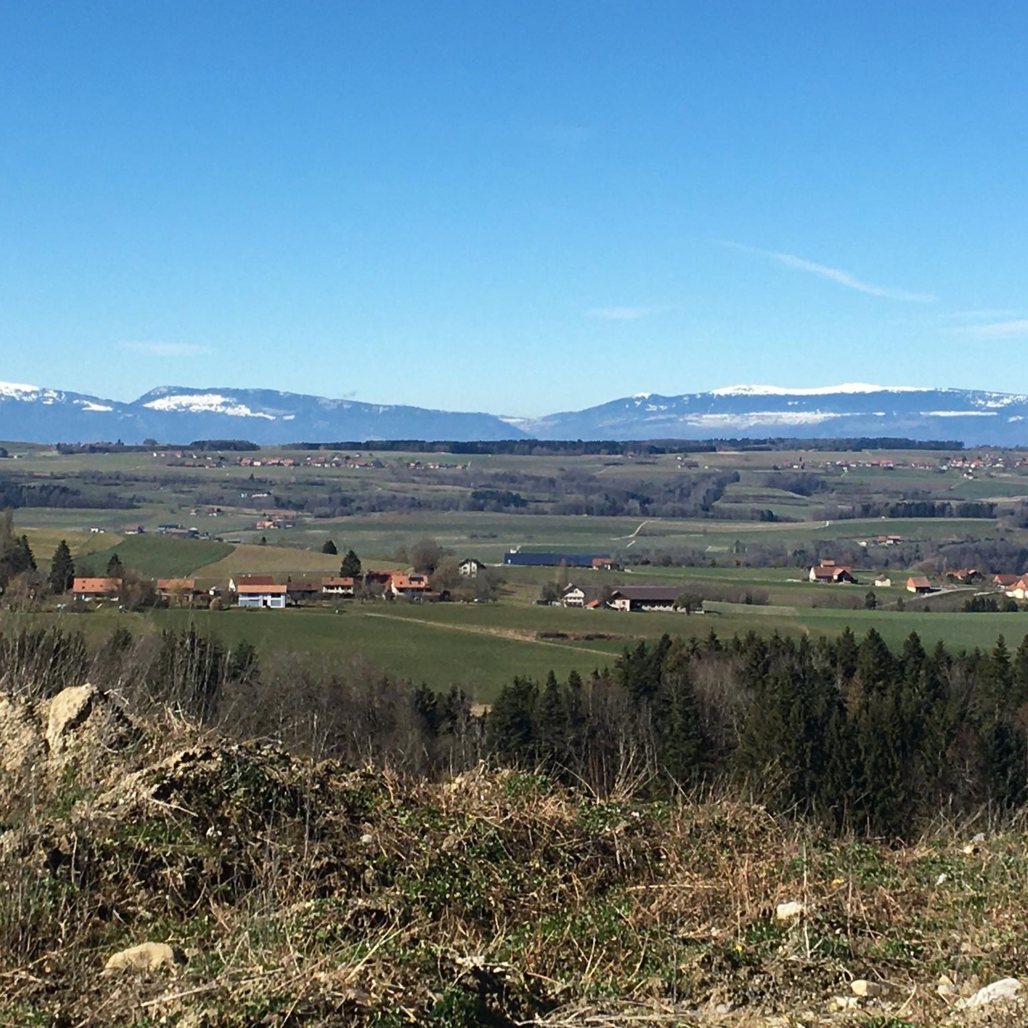
beautiful view and accessible path, as well as a good alternative to the cantonal road
0
0


The church tower of Saint-Etienne was once an integral part of the fortifications. Easily recognizable by its solid construction and the loopholes on the sides. In the tower passage there is an interesting information board stating that Wolfgang Amadé Mozart and his family stopped in Moudon in 1766 on their journey through Switzerland.
1
0

In front of the fountain, meeting point for semi-amateur cyclists
0
0

Nestled in the heart of green Gruyère, the charming little village of Vaulruz has, in addition to its castle, a beautiful parish church whose bell tower is reminiscent of other sanctuaries in the region, such as Bulle, Riaz or Prez-vers- Noréaz.
0
0
In good weather, superb view of the Moléson.
0
0

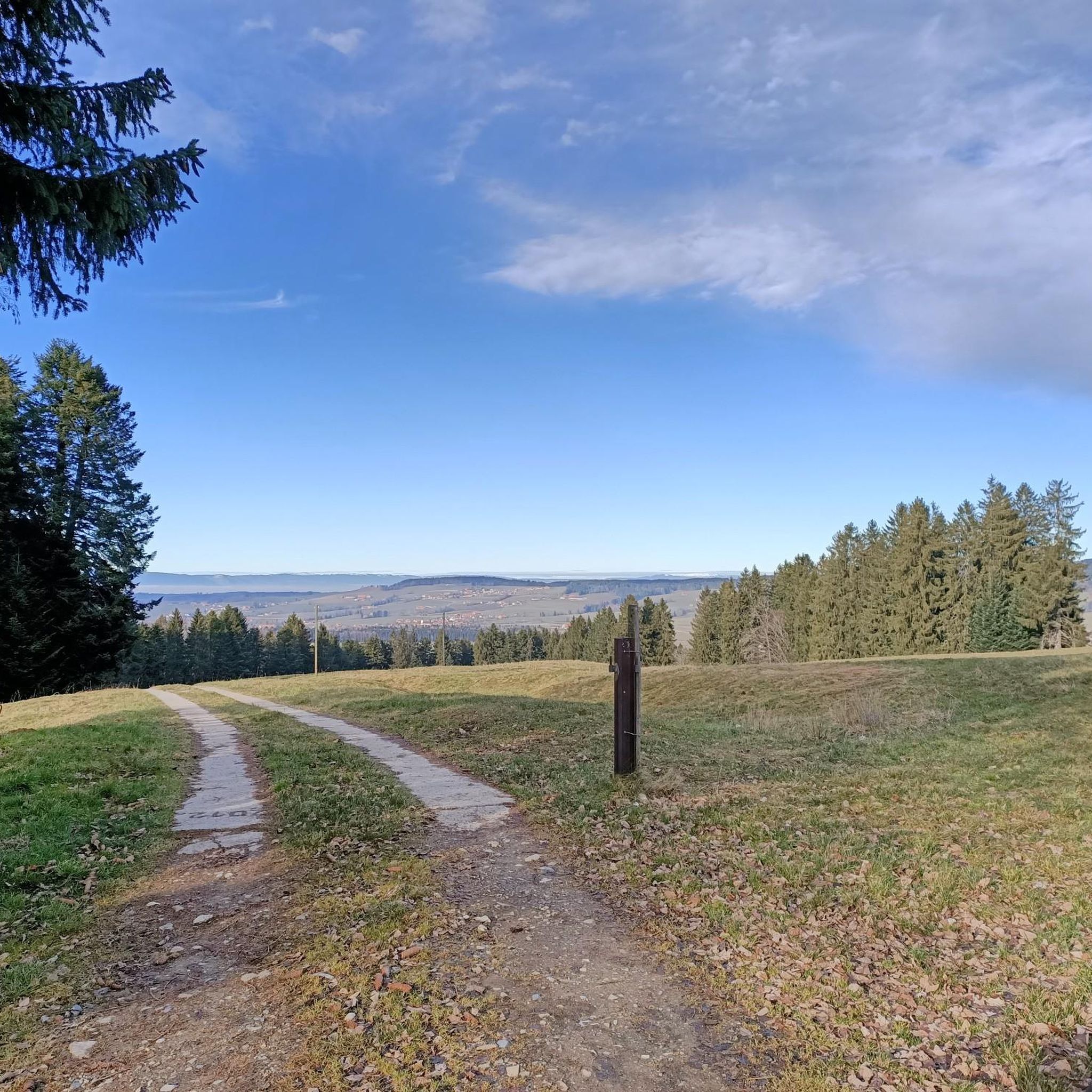
Decent road surface, slight downhill all the way through the forest.
0
0
The first mention of a church dedicated to Saint Stephen in Moudon dates from 1134-1143, although its existence probably dates back further. Located outside the medieval village centered on the hill, it was then the counterpart to the Notre-Dame chapel located at the top of this hill1. Nicknamed “the cathedral of Broye” by the city's inhabitants, it is the largest parish church in the canton of Vaud and one of the best examples of radiant Gothic style in French-speaking Switzerland2. Construction began around 1281, the date of the enclosure flanking the apse wall, and was completed around 1330 with the construction of the last three vaults and the western rose. The bell tower, openworked at its base by the town gate, was erected between the years 1417 and 1436. Chapels were then added to the sides. The simple plan, without transept, evokes a Cistercian influence with its three naves and its rectangular choir, but in elevation the style is radiant Gothic. The vaults are decorated with paintings in 1506-1512. The stalls from 1499-1502 are the work of sculptors Rodolphe Pottu, Peter Vuarser and Mattelin Vuarser. The communion table, Gothic, dates from 1564. The molasse pulpit was built in 1695. The baroque buffet organ from 1764 is by the maker Adrien-Joseph Pottier and the sculptors Joseph Dellion and Charles Puidoux. Finally, the stained glass windows date from 1935-1937 (Ernest Biéler), and 1951-1953 (Charles Clément)2. The church was restored several times, in 1836-1839 by the architect Henri Perregaux3, then again in 1896-1897, in 1934-1935, in 1949-1974 (with interruptions)2. The church is listed as a Swiss cultural property of national importance. Source Wikipedia
0
0
Frequently Asked Questions
How many road cycling routes are available around Siviriez?
There are over 180 road cycling routes available around Siviriez, offering diverse options for cyclists of all levels.
What types of terrain can I expect on road cycling routes in Siviriez?
Road cycling routes in Siviriez traverse a varied landscape, including extensive agricultural land and significant forest cover. You'll encounter dynamic elevation changes, from flatter sections along the Glâne river (around 718 meters) to climbs reaching up to 909 meters in the Bois de Ban forest. Many routes feature forest road descents and rolling hills.
Are there routes suitable for different skill levels?
Yes, the routes around Siviriez cater to various abilities. The area offers a mix of easy, moderate, and difficult routes. For example, you can find moderate challenges like the Bourg de Mondon – Forest Road Descent loop from Vauderens, which includes significant elevation changes.
What scenic views can I enjoy while road cycling in Siviriez?
Many routes offer breathtaking panoramic vistas. Cyclists can enjoy views of the Alps and Le Moléson. For instance, the View of the Glâne Valley – View of the Moléson loop from Vuisternens-devant-Romont provides stunning views of the Glâne Valley and Le Moléson.
Are there any notable landmarks or attractions along the cycling routes?
Yes, some routes pass through charming villages and near historical sites. You might cycle past picturesque localities like Lovatens Village, as seen on the Lovatens Village – View of the Alps loop from Vauderens. Nearby attractions include the historic Château de Lucens and the Saint-Étienne Reformed Church, Moudon.
What is the best time of year for road cycling in Siviriez?
The Fribourg canton, where Siviriez is located, is generally recognized for its superb roads and unspoilt scenery, making it enjoyable for road cycling throughout much of the year. Spring to autumn typically offers the most favorable weather conditions for exploring the diverse terrain, from valley floors to rolling hills.
Are there any circular road cycling routes available?
Yes, many routes around Siviriez are designed as loops, allowing you to start and end in the same location. Examples include the View of the Camping Area – Place du Marché, Bulle loop from Vuisternens-devant-Romont and the View of the Alps – View of Rue loop from Vauderens.
What do other road cyclists say about the routes in Siviriez?
The road cycling routes in Siviriez are highly rated by the komoot community, with an average score of 4.6 stars from over 40 reviews. Cyclists often praise the varied terrain, the beautiful views of the Alps and Le Moléson, and the well-maintained roads that pass through agricultural landscapes and forested sections.
Is Siviriez suitable for family-friendly road cycling?
While many routes involve varied elevations, the region offers diverse cycling experiences. For families, it's advisable to look for routes with less challenging climbs and gentler descents, possibly along the Glâne river, which flows through the communal territory. Always check the difficulty grade and elevation profile of specific routes.
Where can I find parking for cyclists in Siviriez?
Specific dedicated cyclist parking areas are not detailed in the provided information. However, as a municipality, Siviriez likely offers general public parking options within its villages. It's recommended to check local signage upon arrival or consult local tourist information for the most convenient parking spots near your chosen route's starting point.
Can I use public transport to reach Siviriez with my bike?
Switzerland generally has a well-integrated public transport system that often accommodates bicycles, though specific rules and peak hour restrictions may apply. For detailed information on taking your bike on public transport to Siviriez, it's best to consult the official websites of Swiss public transport providers (e.g., SBB) for their current bicycle transport policies and schedules.
Are there cafes or places to rest along the road cycling routes?
Routes often pass through charming villages like Lovatens. While specific cafes are not listed, these villages are likely to offer local amenities where you can find refreshments and take a break. Planning your route to include stops in these localities can enhance your cycling experience.
Most popular attractions around Siviriez

Get inspired with the komoot mobile app


Explore more
Browse the best Road cycling routes in other regions.
