The best road cycling routes in the Sistema Ibérico Mountains
4.6
(158)
6,863
riders
340
rides
Road cycling in the Sistema Ibérico Mountains offers varied terrain across a major system of mountain ranges in eastern Spain. The region features rugged peaks, extensive plateaus, and deep river gorges, often on lightly trafficked roads. Cyclists encounter significant elevation gains and descents, with numerous mountain passes providing challenging ascents and exhilarating descents. The landscape is characterized by diverse geological formations, including limestone karst, and is rich in forests of pine, holm oak, and beech.
Best road cycling routes in…
Last updated: August 30, 2026
5.0
(1)
186
riders
122km
06:14
2,100m
2,100m
Hard road ride. Very good fitness required. Mostly well-paved surfaces and easy to ride.
2.0
(2)
179
riders
82.4km
04:04
1,270m
1,270m
Hard road ride. Very good fitness required. Some segments of this route may be unpaved and difficult to ride.

Sign up for free
4.0
(1)
108
riders
101km
05:44
2,330m
2,330m
This difficult 62.7-mile road cycling route through Alto Najerilla and Sierra Cebollera offers significant climbs and panoramic mountain vie
4.0
(1)
95
riders
85.2km
04:50
1,790m
1,790m
This difficult 52.9-mile (85.2 km) road cycling loop through Sierra de Camero features challenging mountain passes and diverse landscapes.
55
riders
114km
05:42
1,820m
1,820m
Tackle the difficult 70.8-mile Mirador de Piqueras y Puerto de Santa Inés circular road cycling route through Sierra Cebollera Natural Park.
5.0
(1)
59
riders
37.8km
02:20
680m
680m
Moderate road ride. Good fitness required. Mostly well-paved surfaces and easy to ride.
42
riders
72.6km
03:53
1,430m
1,430m
Hard road ride. Very good fitness required. Mostly well-paved surfaces and easy to ride.
43
riders
Hard road ride. Very good fitness required. Mostly well-paved surfaces and easy to ride.
38
riders
65.7km
03:19
1,050m
1,060m
Hard road ride. Very good fitness required. Mostly well-paved surfaces and easy to ride.
38
riders
54.5km
02:26
500m
500m
Cycle 33.9 miles (54.5 km) from Arnedo to Autol, exploring the Cidacos Valley and the unique El Picuezo y la Picueza rock formations.
Get access to more routes and recommendations from other explorers.
Sign up for free
Already have an account?
Our route recommendations are based on thousands of hikes, rides, and runs completed by other people on komoot.
Start today with a free account
Your next adventure awaits.
Login or Signup
Popular around Sistema Ibérico Mountains
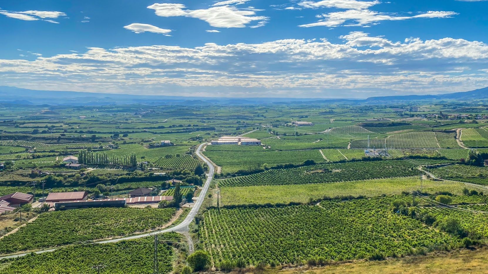
Endless asphalt between La Rioja’s vineyards – Spain’s Ruta del Vino
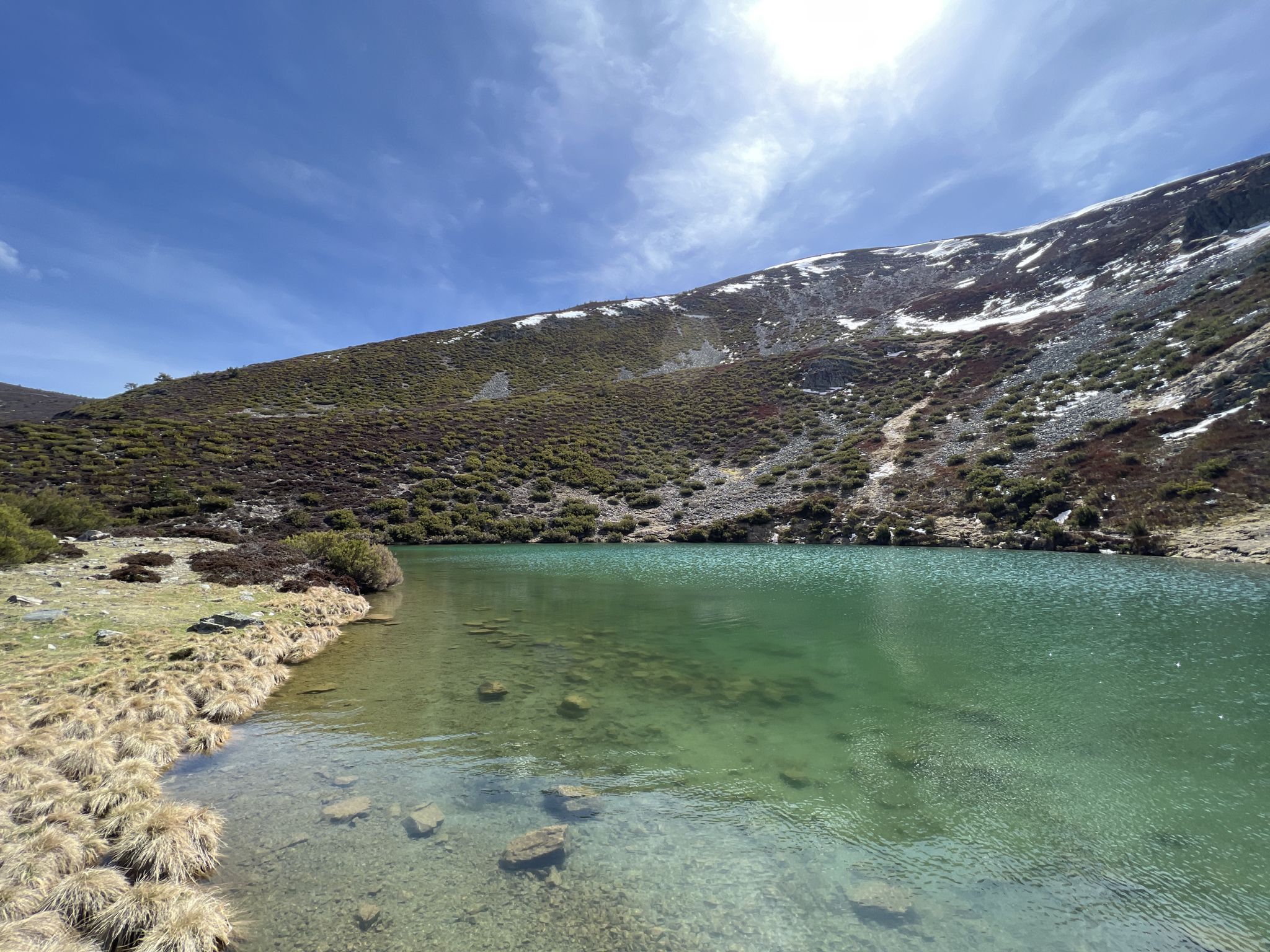
Discover the unknown Burgos - Dos Aguas Trail (GR 290)
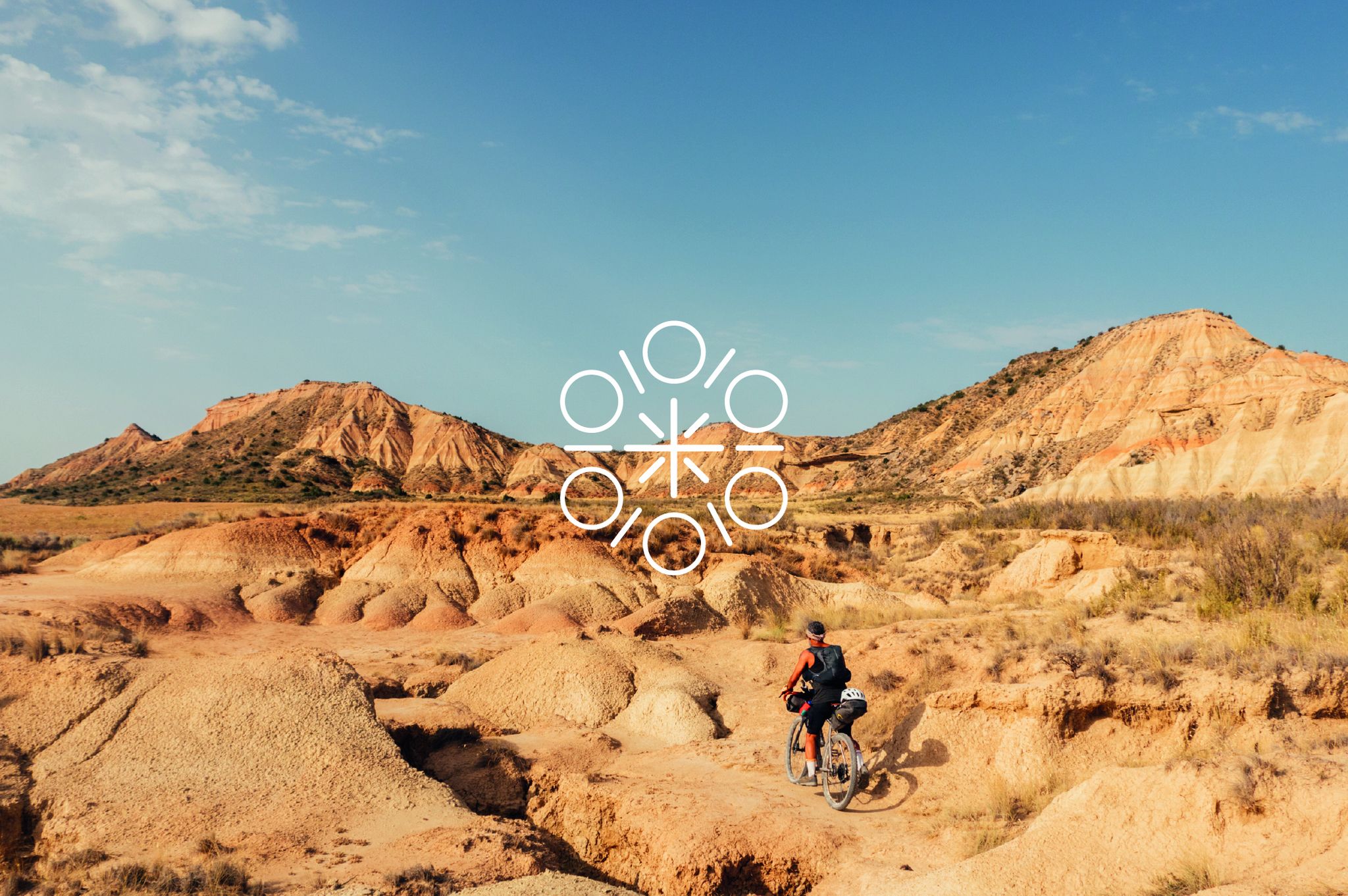
Zazpiak Bat Packing – a cycling adventure in the Basque Country
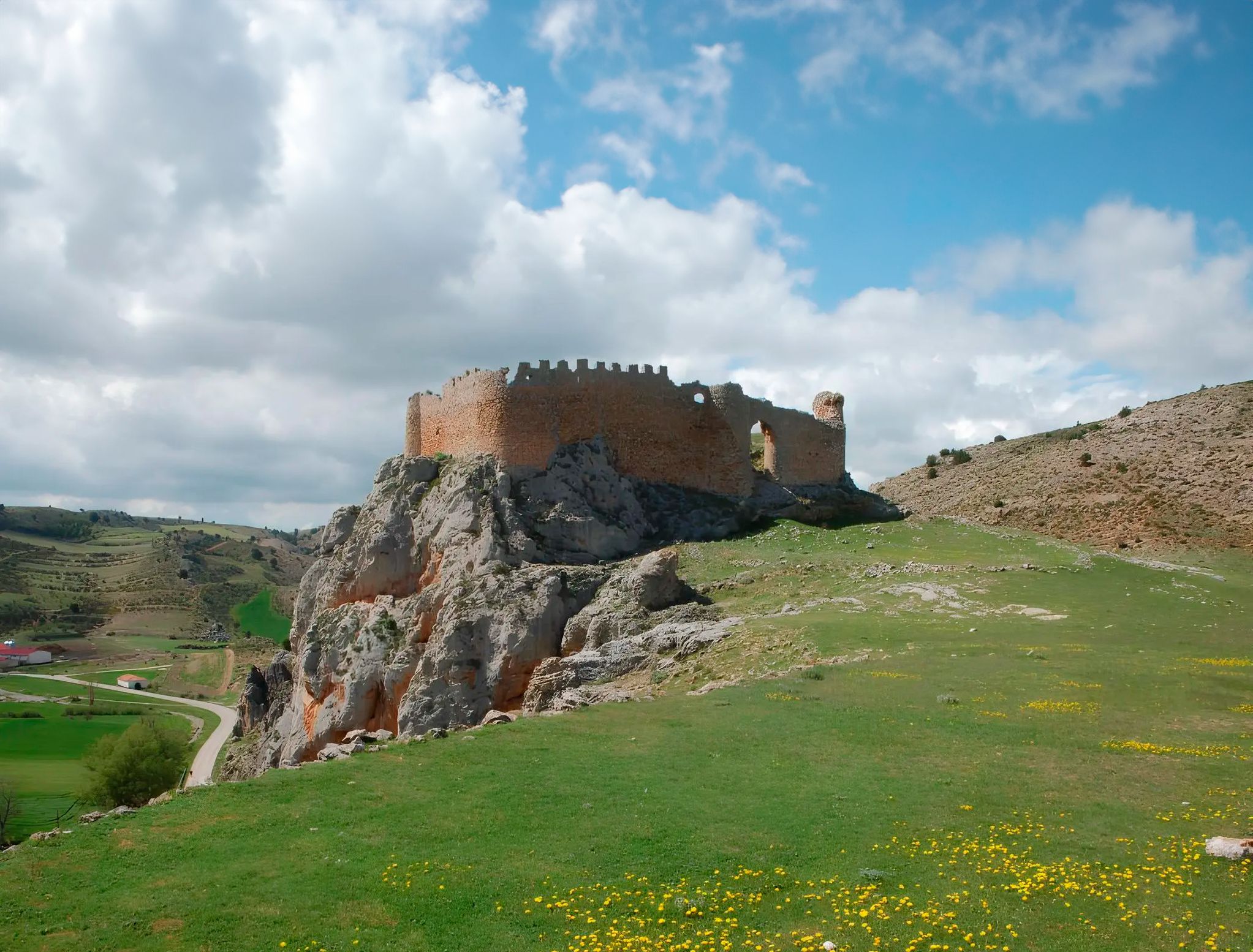
Around the Spanish province of Soria - Sendero Ibérico Soriano (GR 86)
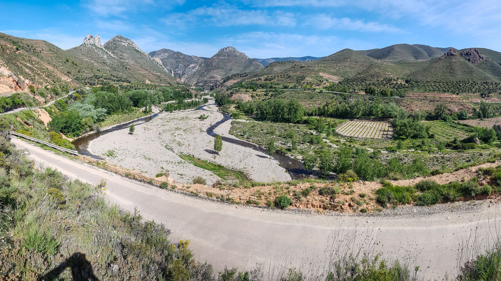
Orchards and karst peaks in La Rioja – Cidacos Greenway
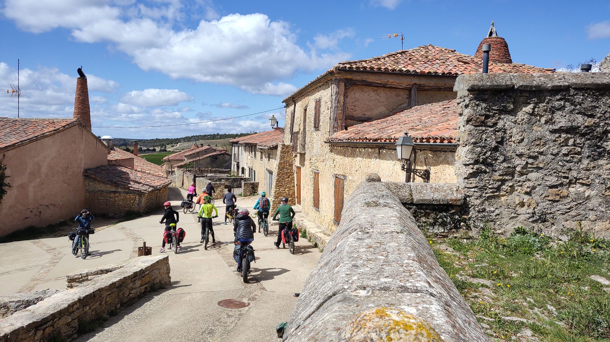
Millennial treasures on pedals – Romanesque art of Soria by MTB
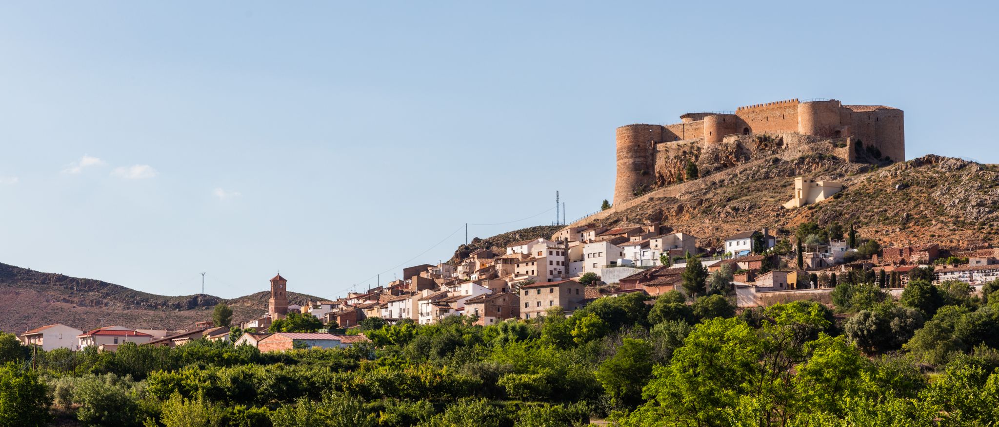
Moncayo to Daroca – Iberian Zaragoza Path (GR 90)
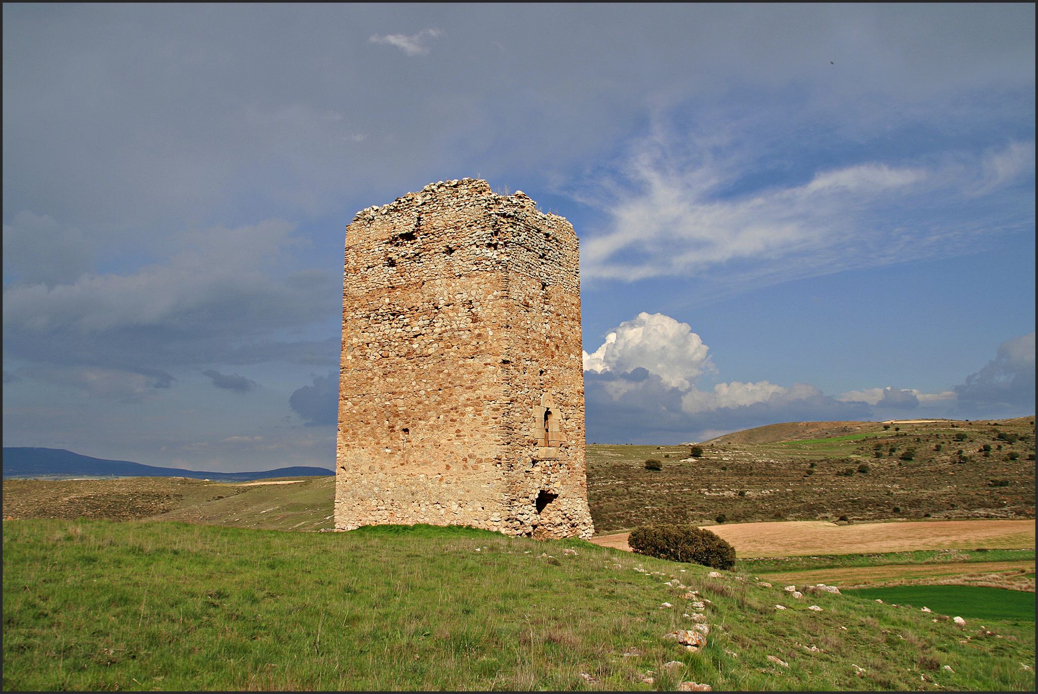
The Duero to the Ebro – Soriano Water Natural Trail
18th-century gravel – Camino Real de Aragón from Madrid
An epic getaway – Santander-Mediterráneo Nature Trail
Other adventures in the Sistema Ibérico Mountains


Tips from the Community

A recommended area for walking.
0
0

It is located in the Leza Valley, between Leza on the Leza River and Soto en Cameros. Fairly quiet road and very busy with cyclists throughout the year. Sitting and watching the flight of the vultures in the canyon is a privilege.
1
0
One of the most mythical ports for cyclists from La Rioja and especially for those from Logroño.
0
0

Enciso is located in a mountainous area of the Iberian system and is crossed by the Cidacos River. In the town there are more than 3,000 dinosaur footprints and it has a paleontological center with information on how they were formed.
0
0
Villoslada de Cameros is a small town in La Rioja inhabited by only around 400 people. It is located in a magical setting, at the foot of the Sierra de Cebollera Natural Park.
0
0

Wonderful to cycle on the little-used road along the reservoir.
2
0

Small town located to the south of the Sierra Cebollera, to the east of the Cuerda del Pozo Reservoir. Beautiful town with its church as the center of the town.
0
0
Vinuesa is a small town located at the foot of the Sierra de Urbión and ruled by its church that stands out above the rest of the hills.
0
0
Frequently Asked Questions
What kind of terrain can I expect when road cycling in the Sistema Ibérico Mountains?
The Sistema Ibérico Mountains offer a diverse and challenging landscape for road cyclists. You'll encounter rugged peaks, extensive plateaus, and deep river gorges. Routes often feature significant elevation gains and descents, with numerous mountain passes providing exhilarating climbs. The region's limestone composition also results in striking karst formations, and you'll ride through rich forests of pine, holm oak, and beech.
How many road cycling routes are available in the Sistema Ibérico Mountains?
There are over 320 road cycling routes available in the Sistema Ibérico Mountains. This includes a wide range of options, with approximately 20 easy routes, over 150 moderate routes, and nearly 150 difficult routes, catering to various skill levels.
What are some of the most scenic natural features to see while road cycling in the Sistema Ibérico Mountains?
The region is rich in natural beauty. You can cycle through areas featuring majestic peaks like the Moncayo Massif, home to the highest peak, Moncayo, or the Picos de Urbión with remnants of the Ice Age and glacial lakes such as La Cascada Lagoon. The Serranía de Cuenca offers spectacular rock formations and river gorges, while the Sierra de Neila is known for its ancient pine forests and glacial lakes.
Are there any circular road cycling routes in the Sistema Ibérico Mountains?
Yes, many routes in the Sistema Ibérico Mountains are circular, allowing you to start and finish in the same location. For example, you could try Rodeo a los Picos de Urbión — circular por Parque Natural Lagunas Glaciares de Neila, a challenging route through the Picos de Urbión, or the moderate Laguna Negra de Urbión — circular desde Vinuesa.
What is the best time of year for road cycling in the Sistema Ibérico Mountains?
The ideal seasons for road cycling in the Sistema Ibérico Mountains are typically from April to mid-June and from September to the end of October. This avoids the potential for snow in the northern parts during early spring and the intense heat that can occur in the south during the summer months.
What do other road cyclists enjoy most about the Sistema Ibérico Mountains?
The Sistema Ibérico Mountains are highly rated by the komoot community, with an average score of 4.6 stars from over 80 reviews. Cyclists often praise the varied terrain, the challenging ascents and rewarding descents, and the stunning natural scenery found on the lightly trafficked roads.
Are there any challenging road cycling routes for experienced riders?
Absolutely. The Sistema Ibérico Mountains are known for their challenging routes with significant elevation gains. Routes like Puertos de Montenegro, Peña Hincada y Santa Inés — circular por los parques naturales del Alto Najerilla y Sierra Cebollera, covering over 100 km with more than 2,300 meters of ascent, offer a demanding experience for advanced cyclists.
Are there any easier road cycling routes suitable for beginners or those seeking a more relaxed ride?
Yes, while many routes are challenging, there are easier options available. For instance, El Picuezo y la Picueza, the rocks of autol — from Arnedo is a moderate route that covers about 54 km with around 500 meters of elevation gain, offering a less strenuous ride through interesting landscapes.
What kind of wildlife might I encounter while cycling in the Sistema Ibérico Mountains?
The diverse landscapes of the Sistema Ibérico Mountains support a variety of wildlife. In higher elevations, you might spot Iberian wolf, Spanish ibex, red deer, wild boar, and European badgers. Griffon vultures are also common in the region's skies.
Are there any specific areas known for their mountain passes for road cyclists?
The Sistema Ibérico Mountains are famous for their numerous mountain passes, or 'puertos'. Areas like the Sierra Cebollera feature challenging routes over passes such as Puerto de Santa Inés and Puerto de Piqueras. The Valleys of the Rivers Leza and Iregua also include ascents to passes like Puerto de la Rasa.
Can I find amenities like cafes or places to rest along the road cycling routes?
While specific cafes on every route are not guaranteed, many routes pass through or near villages and towns where you can find amenities. Additionally, some areas have dedicated facilities like the Santuario del Moncayo Restaurant and Hostel or the Bonicaparra Recreation Area, which can serve as good resting points.
Are there any long-distance road cycling routes in the Sistema Ibérico Mountains?
Yes, the region offers several long-distance routes for those looking for extended rides. For example, To the Monastery of Valvanera — circular via the east of the Sierra de la Demanda is a challenging route spanning over 125 km, providing a significant endurance test and scenic views.
Most popular routes in the Sistema Ibérico Mountains
Most popular attractions in the Sistema Ibérico Mountains

Get inspired with the komoot mobile app


Explore more
Browse the best Road cycling routes in other regions.
