The best walks and hikes in the Sistema Central Mountains
4.6
(11969)
71,129
hikers
3,415
hikes
Hiking in the Sistema Central Mountains offers a diverse range of landscapes across this extensive mountain system in the Iberian Peninsula. The region is characterized by prominent granite formations in areas like the Sierra de Gredos, extensive pine and oak forests in the Sierra de Guadarrama, and unique beech woods in the Sierra de Ayllón. Elevations range from lower-altitude woodlands to high-mountain terrain, including peaks like Pico Almanzor and Peñalara. The mountains also feature glacial cirques, lakes, and river valleys, providing varied environments for outdoor activities.
Best hiking trails in the Sistema Central Mountains
- The most popular hiking route is Peñalara Circular Trail, a 8.0 miles (12.9 km) trail that takes 5 hours 11 minutes to complete. This route explores the high-mountain landscape of the Sierra de Guadarrama, offering views of the glacial Circo de Peñalara.
- Another top favourite among local hikers is Siete Picos Trail, a moderate 5.9 miles (9.4 km) path. This trail ascends through pine forests to the rocky summits of Siete Picos, providing panoramic vistas.
- Local hikers also love the La Maliciosa y Bola del Mundo — circular desde La Barranca, a 9.1 miles (14.6 km) trail leading through varied terrain to prominent peaks, often completed in about 6 hours 17 minutes.
- Hiking in the Sistema Central Mountains is defined by granite formations, extensive pine forests, and unique beech woods. The network offers options for different ability levels, from moderate forest paths to challenging high-mountain ascents.
- The routes in Sistema Central Mountains are highly rated by the komoot community with an average score of 4.6 stars from nearly 10000 reviews. More than 64000 hikers have used komoot to explore Sistema Central Mountains's varied terrain.
Last updated: August 20, 2026
4.8
(157)
1,044
hikers
12.9km
05:12
580m
580m
The Peñalara Circular Trail is one of those routes that challenges and rewards in equal measure. This difficult 8.0-mile (12.9 km) hike, with an elevation gain of 1910 feet (582 meters), will take you approximately 5 hours and 11 minutes. You'll embark on a journey from pine forests to rocky alpine landscapes, passing through the stunning Peñalara Glacial Cirque and lagoons like Laguna Grande. It's a complete experience for those seeking a challenge in the Sierra de Guadarrama.
To plan your visit, keep in mind that this route is demanding and not suitable for everyone, especially the Risco de los Claveles, a section with steep drops that requires extra caution. The difficulty significantly increases in winter with snow and ice, so it's best to save it for warmer months if you lack high-mountain experience. Make sure to carry enough water, as there are exposed sections.
This route is famous for leading you to Pico Peñalara, the highest point in the Comunidad de Madrid, and for showcasing some of the best-preserved glacial remnants in the Sierra de Guadarrama. It's a classic training ground for mountaineers and a display of the park's biodiversity, with its lagoons and varied flora.
4.7
(148)
882
hikers
9.44km
03:37
350m
350m
The Siete Picos Trail immerses you in a unique mountain landscape, where pine forests give way to a granite ridge dotted with spectacular rock formations. The route invites you to explore the seven peaks that give it its name, offering breathtaking panoramic views of the Sierra de Guadarrama. It's a rewarding experience for those who enjoy varied terrain, with sections of trail, rocky areas, and some scrambling that add excitement to the journey.
This moderate hiking route, spanning 9.4 kilometers (5.9 miles) with an elevation gain of 354 meters (1163 feet), will take you approximately 3 hours and 37 minutes. The main access point is from Puerto de Navacerrada, a well-connected spot with amenities. It's important to pay attention to weather conditions, as in winter, with snow or ice, the route can present significant challenges and require specific equipment. Plan your visit to enjoy the best conditions and avoid crowds.
What makes the Siete Picos Trail so special is the opportunity to ascend its distinctive rocky peaks in a relatively short time, a characteristic that makes it one of the most popular trails in the region. The unique granite formations and expansive views, such as that of Bola del Mundo from Senda Herreros, make it an attractive destination for mountain lovers. It's an excellent choice for those seeking a route with a good balance between physical challenge and visual reward.

Sign up for free
4.6
(106)
756
hikers
Moderate hike. Good fitness required. Mostly accessible paths. Sure-footedness required.
4.8
(96)
580
hikers
9.30km
03:08
390m
390m
Hike a moderate 5.8-mile loop in Guadarrama National Park, featuring pine forests, panoramic views from Mirador de las Canchas, and varied t
4.8
(57)
463
hikers
14.6km
06:17
1,000m
1,000m
Hard hike. Very good fitness required. Mostly accessible paths. Sure-footedness required.
4.7
(61)
358
hikers
10.2km
03:11
400m
400m
Hike the Cancho de la Cabeza via Arroyo de Patones Trail for panoramic views of the Atazar reservoir and the charming village of Patones de
4.8
(70)
277
hikers
14.4km
04:22
260m
260m
Hike the moderate 9.0-mile La Pedriza Circular Trail, featuring unique granite formations, the Charca Verde, and panoramic views.
4.6
(56)
233
hikers
13.4km
03:53
300m
300m
The Silla de Felipe II and Bosque de la Herrería loop trail invites you to immerse yourself in the history and nature of the Sierra de Guadarrama. You'll hike through the lush Bosque de la Herrería, a protected natural area where oaks, ash trees, and cherry trees create a green canopy, and discover the enigmatic Silla de Felipe II, a granite viewpoint offering panoramic vistas of the Monasterio de El Escorial. This 8.4-mile (13.4 km) route, classified as moderate, offers a diverse experience with sections of Roman road and natural trails, ideal for a day of exploration.
To plan your visit, keep in mind that this is a very popular route, especially on weekends, so arriving early is key to finding parking. The trail is well-marked and accessible, although some sections require a good level of fitness. No specific permits are mentioned, but it's always advisable to carry water and check the weather forecast, especially if you plan to spend the estimated 3 hours and 52 minutes to complete it.
What makes this route special is the combination of its natural and historical richness. The Bosque de la Herrería is a picturesque landscape with springs like the Fuente de la Reina, while the Silla de Felipe II, with its stepped platforms, is a legendary spot from where the king is said to have overseen the construction of the Monastery. With an elevation gain of 985 feet (300 meters), it's a rewarding hike that connects you with the past and the beauty of the surroundings.
4.7
(39)
382
hikers
11.2km
05:01
840m
840m
Hike the difficult 6.9-mile La Barranca - La Maliciosa Trail for challenging ascents and panoramic views in Guadarrama National Park.
4.8
(32)
97
hikers
13.8km
04:06
290m
290m
Moderate hike. Good fitness required. Mostly accessible paths. Sure-footedness required.
Get access to more routes and recommendations from other explorers.
Sign up for free
Already have an account?
Our route recommendations are based on thousands of hikes, rides, and runs completed by other people on komoot.
Start today with a free account
Your next adventure awaits.
Login or Signup
Popular around Sistema Central Mountains
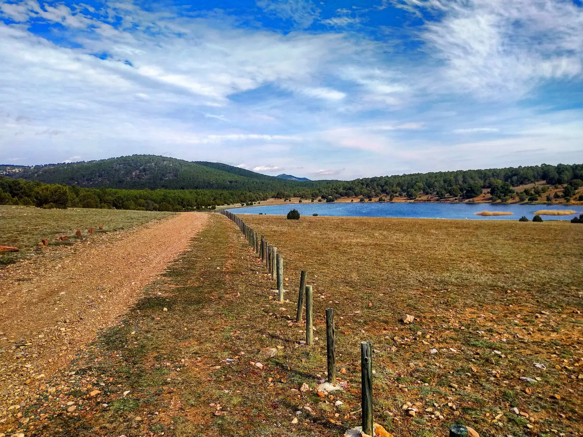
Sendero Español GR 10 — De este a oeste
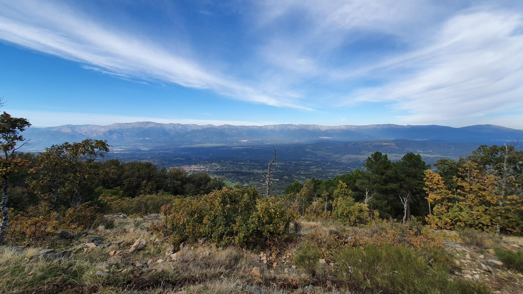
Following in the footsteps of the Lusitanian leader — Viriato Path GR 63
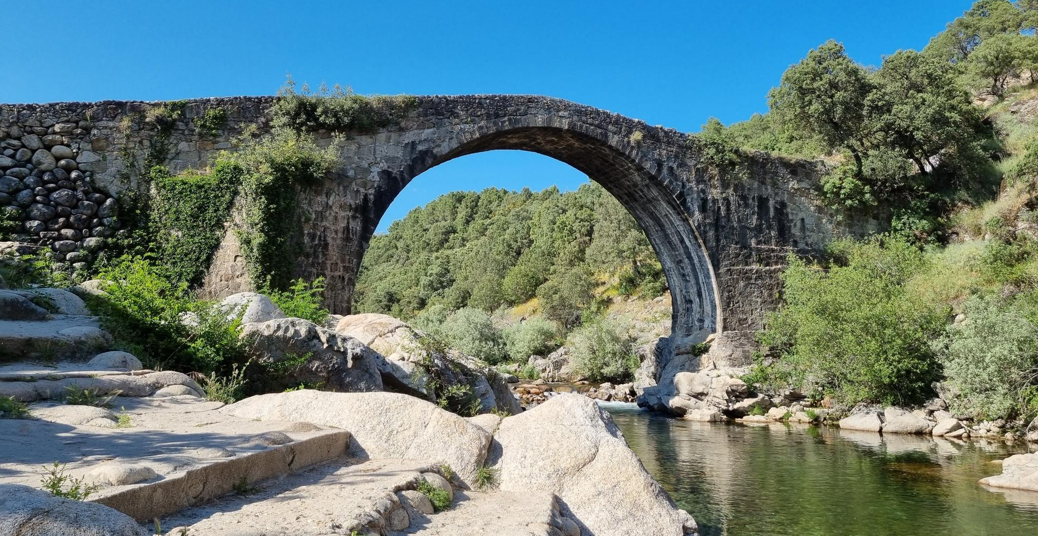
Monumental and Natural History — The Way of La Vera GR-111
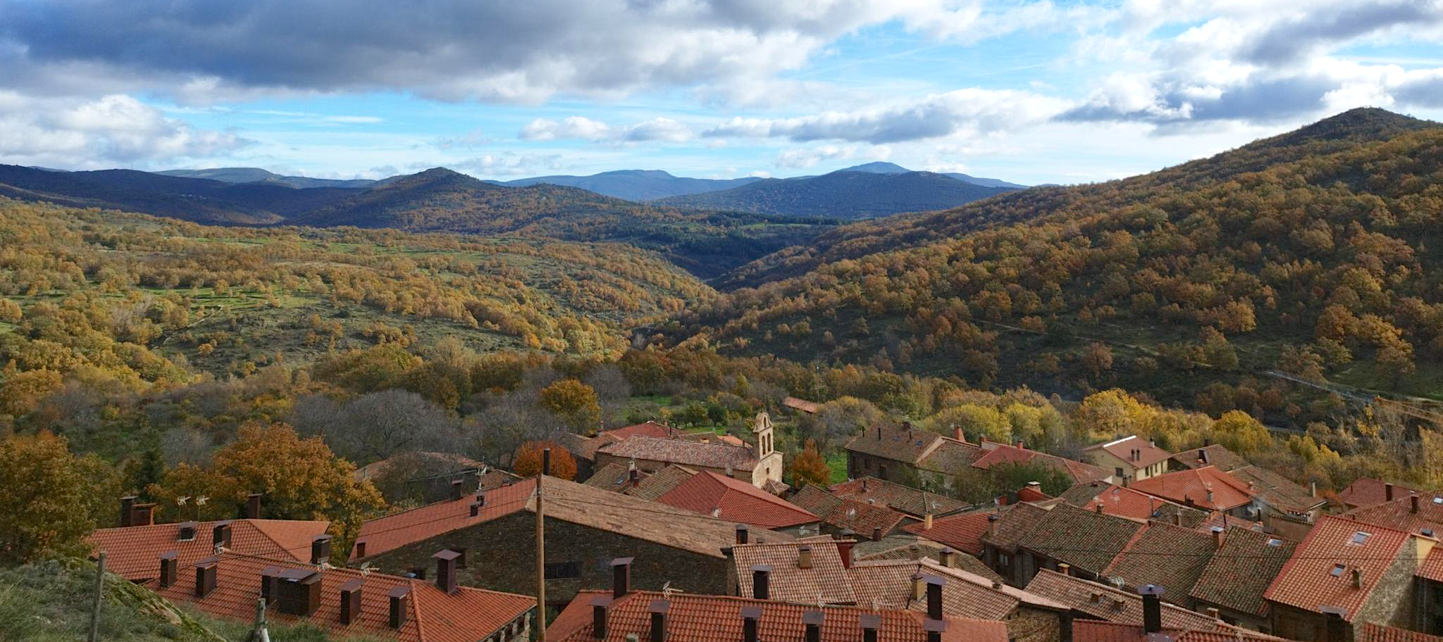
Sierra del Rincón, Biosphere Reserve — On Foot along the GR 303
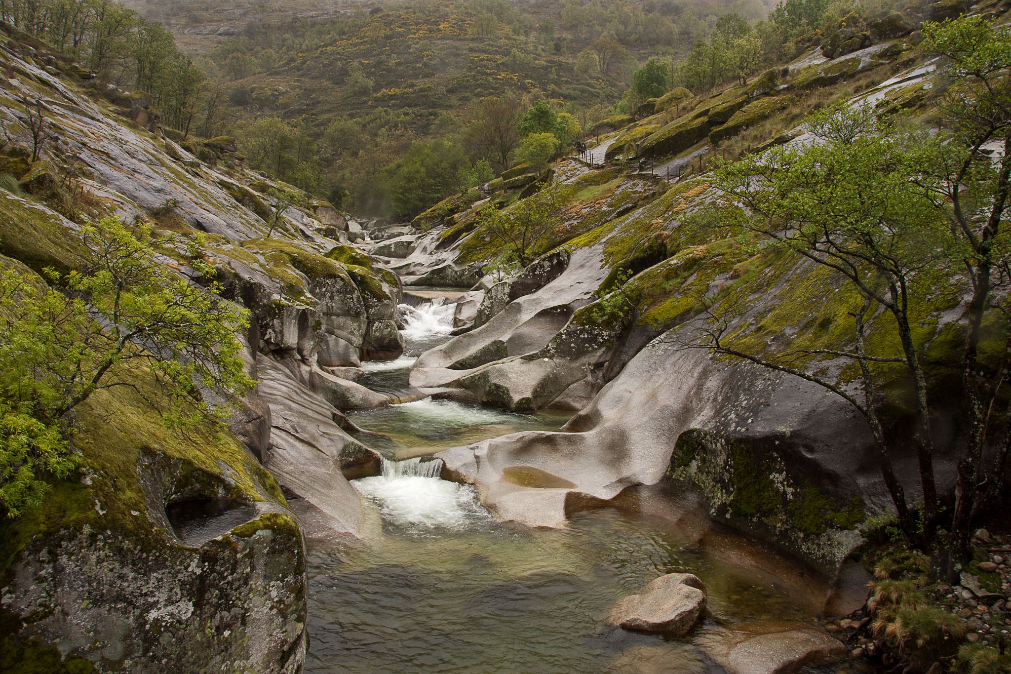
Six routes to discover Extremadura on foot

12 hiking gems throughout Spain
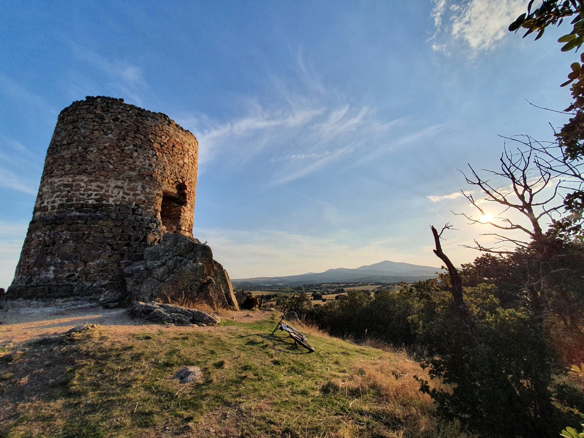
Along the paths of Marca Media — Route of the watchtowers of Madrid
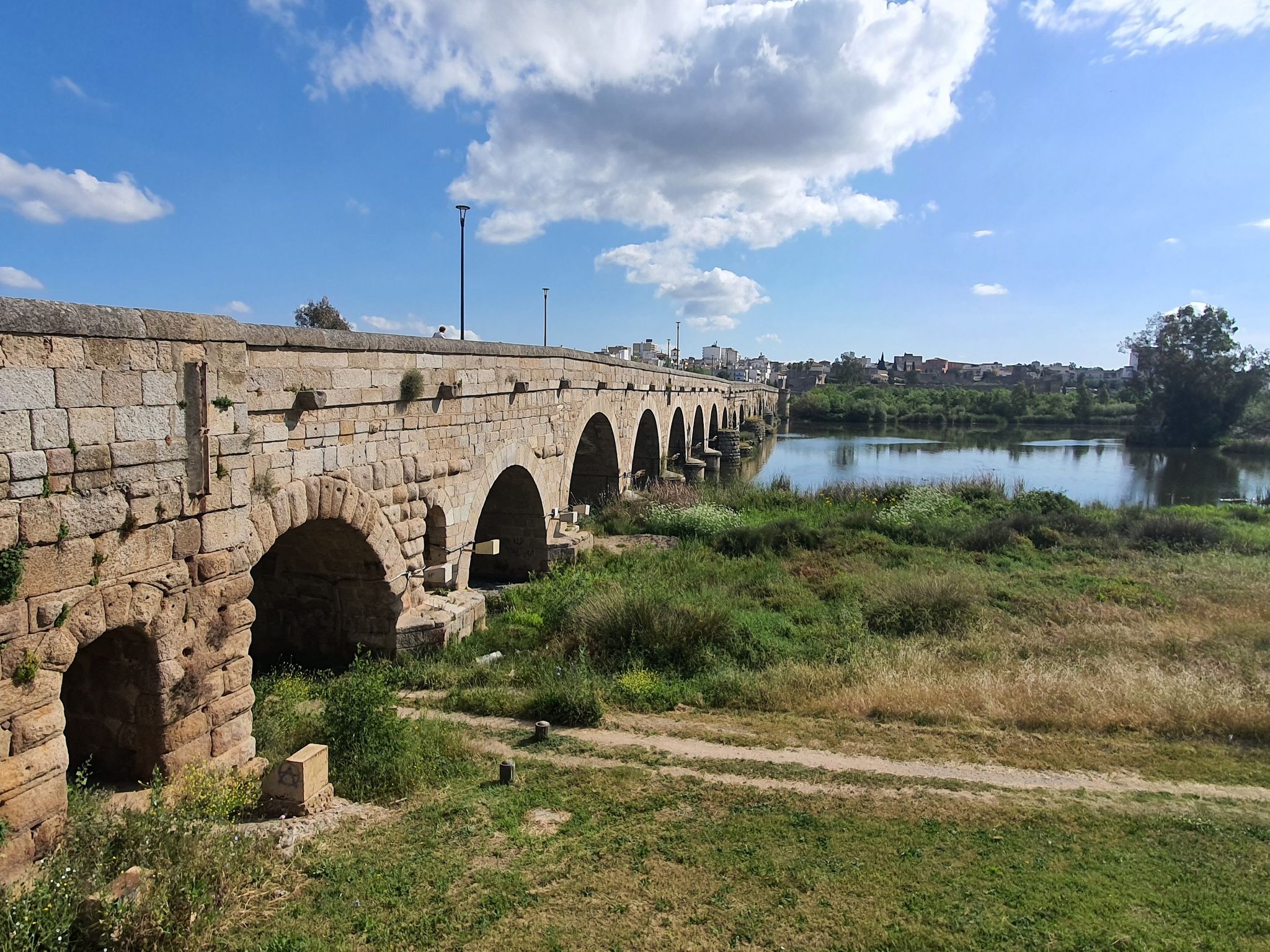
Gijón to Sevilla in Spain – Vía de la Plata (GR 100)
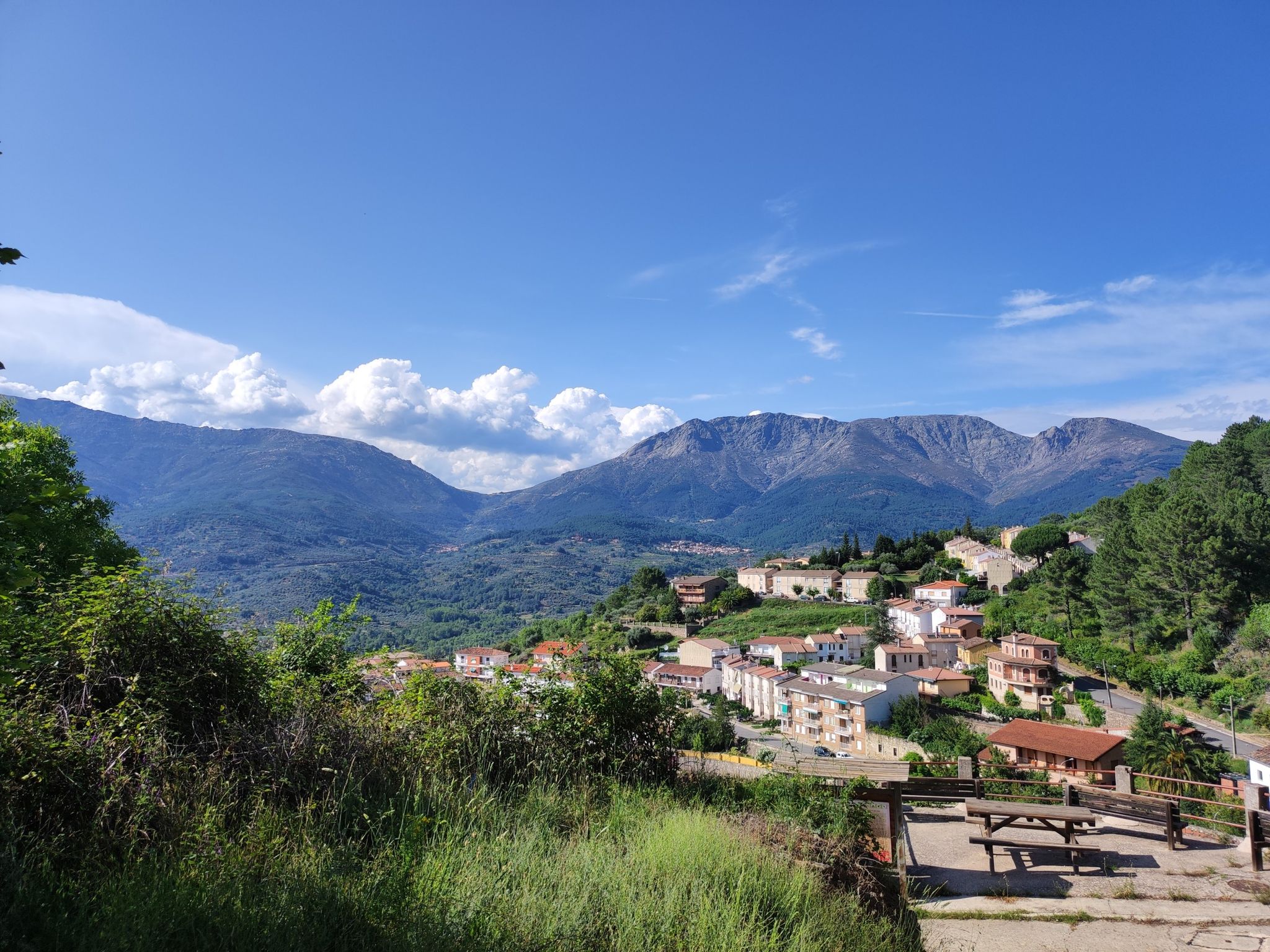
An epic hike in Spain’s Tiétar Valley – Valle del Tiétar (GR 180)
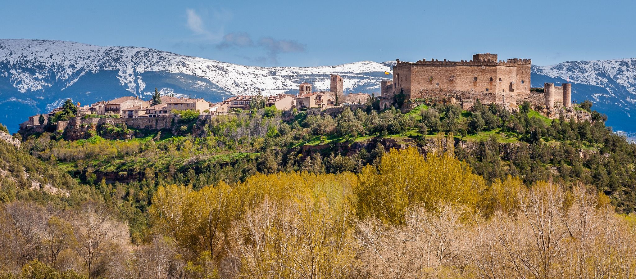
Nature, history and tradition – Segovia Trail (GR 88)
Other adventures in the Sistema Central Mountains


Tips from the Community

Easily accessible from Cotos, a very quiet place with exceptional views of Lozoya. Very suitable for stopping to have a sandwich and breathe in the fresh air.
0
0

The Purgatory Waterfalls are spectacular. Beautiful landscape. Today, after the hike, I took a dip in the pool below the waterfall and it didn't feel like purgatory at all, I felt Heaven 😉
0
0

Strategic point from which excellent landscapes can be seen in the surrounding area.
0
0
High and difficult peak in the Sierra de Madrid, especially with clouds and winds.
0
0

This reservoir is located in the beautiful Barranca valley
0
0
Beautiful place full of history.
0
0

The traverse between Peñalara and Claveles, or vice versa, requires skill and good footwear. Wet rock, and especially snow or ice, can make it much more difficult. Roped up is advisable in the worst conditions.
0
0

They say (I don't know how true this is) that Philip II used to watch the progress of the construction of the colossal monastery from this very spot during his hunting trips, which he was very fond of. Whether true or not, it makes for a beautiful viewpoint, especially in autumn.
1
0
Frequently Asked Questions
How many hiking trails are available in the Sistema Central Mountains?
The Sistema Central Mountains offer a vast network of hiking opportunities, with over 3,100 routes available on komoot. These range from easy strolls through forests to challenging high-mountain ascents.
What kind of landscapes can I expect to see while hiking in the Sistema Central Mountains?
Hikers in the Sistema Central Mountains will encounter diverse landscapes. The Sierra de Gredos features dramatic granite formations and glacial cirques like the Circo de Gredos. The Sierra de Guadarrama is known for its extensive pine and oak forests, while the Sierra de Ayllón boasts unique beech woods, such as those in the Hayedo de Tejera Negra natural park. You'll also find high-mountain terrain, glacial lakes, and river valleys.
Are there any trails that lead to waterfalls in the Sistema Central Mountains?
Yes, several trails offer access to beautiful waterfalls. For example, the route to The Purgatory Waterfall from the Monastery of Santa Maria de El Paular is a popular option. Other notable waterfalls in the region include Chorrera de los Litueros Waterfall and Purgatory Waterfall.
What is the best time of year to go hiking in the Sistema Central Mountains?
The Sistema Central Mountains offer hiking opportunities year-round, but the best time depends on your preferred activity. Spring and autumn provide pleasant temperatures and vibrant foliage, ideal for forest walks. Summer is popular for high-mountain routes and enjoying natural river pools, while winter offers opportunities for snowshoeing and ski mountaineering in higher elevations, especially in areas like the Sierra de Gredos.
Are there any circular hiking routes in the Sistema Central Mountains?
Yes, there are many circular routes available. A notable one is the Peñalara Circular Trail, which explores the high-mountain landscape of the Sierra de Guadarrama. Another option is the La Maliciosa y Bola del Mundo — circular desde La Barranca, offering varied terrain and prominent peaks.
What are the difficulty levels of trails in the Sistema Central Mountains?
The trails cater to all levels of experience. Approximately 580 routes are considered easy, over 1,800 are moderate, and around 720 are difficult. You can find everything from gentle forest paths to challenging ascents to peaks like Pico Almanzor.
Are there any family-friendly hiking options in the Sistema Central Mountains?
Yes, many areas offer accessible hikes suitable for families. Lower-altitude woodlands and well-maintained paths in regions like the Sierra de Guadarrama are often good choices. Look for routes categorized as 'easy' on komoot, which typically feature less elevation gain and shorter distances.
Can I bring my dog on the hiking trails in the Sistema Central Mountains?
Many trails in the Sistema Central Mountains are dog-friendly, allowing you to explore with your canine companion. However, it's always advisable to check specific park regulations or trail descriptions for any restrictions, especially in protected natural areas or national parks, and to keep your dog on a leash where required.
What do other hikers enjoy most about hiking in the Sistema Central Mountains?
The area is highly rated by the komoot community, with an average score of 4.6 stars from nearly 10,000 reviews. Hikers often praise the dramatic and diverse landscapes, the wide array of hiking opportunities, and the rich natural heritage, including the unique granite formations and extensive forests.
Are there any trails with good viewpoints or panoramic vistas?
Absolutely. Many trails lead to spectacular viewpoints. The Siete Picos Trail, for instance, ascends through pine forests to rocky summits, providing panoramic vistas. Routes in the Sierra de Gredos often offer views of the Circo de Gredos and the towering Pico Almanzor.
Are there any trails that are particularly good for exploring unique forests?
Yes, the Sistema Central is home to diverse forest types. The Sierra de Ayllón is particularly known for its valleys hosting some of Europe's southernmost beech forests, such as those found in the Hayedo de Tejera Negra natural park. The Sierra de Guadarrama also features extensive pine and holly oak groves, offering beautiful forest walks.
Is public transport available to access hiking trails in the Sistema Central Mountains?
Some areas, particularly those closer to major cities like Madrid (e.g., parts of the Sierra de Guadarrama), have public transport options that can get you close to trailheads. However, for more remote areas, especially in the Sierra de Gredos or Sierra de Ayllón, personal vehicles are often necessary. It's recommended to research specific routes for public transport accessibility.
Most popular routes in the Sistema Central Mountains
Most popular attractions in the Sistema Central Mountains

Get inspired with the komoot mobile app


Explore more
Browse the best Hikes in other regions.
