The best walks and hikes around Mezzenile
4.5
(1387)
5,452
hikers
22
hikes
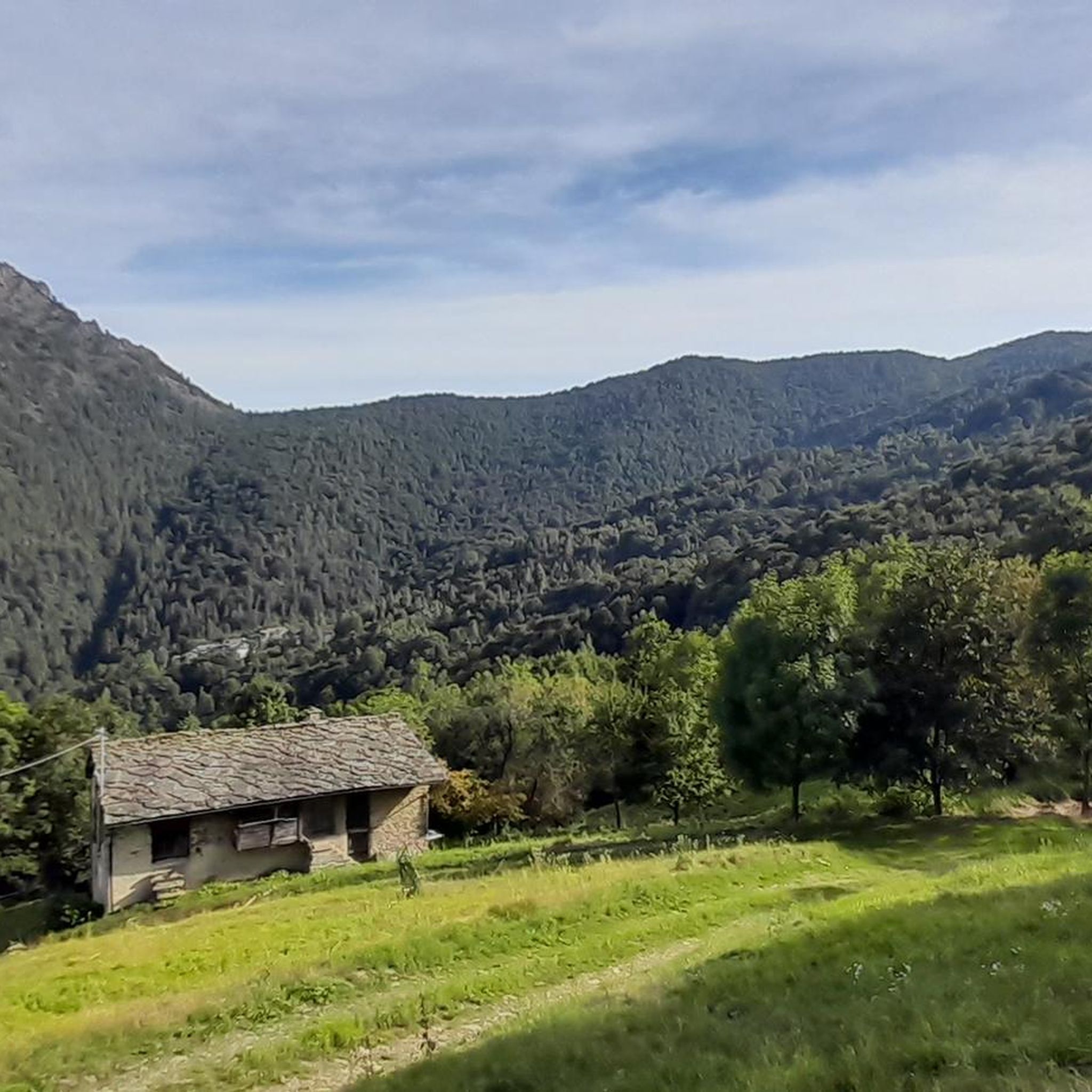
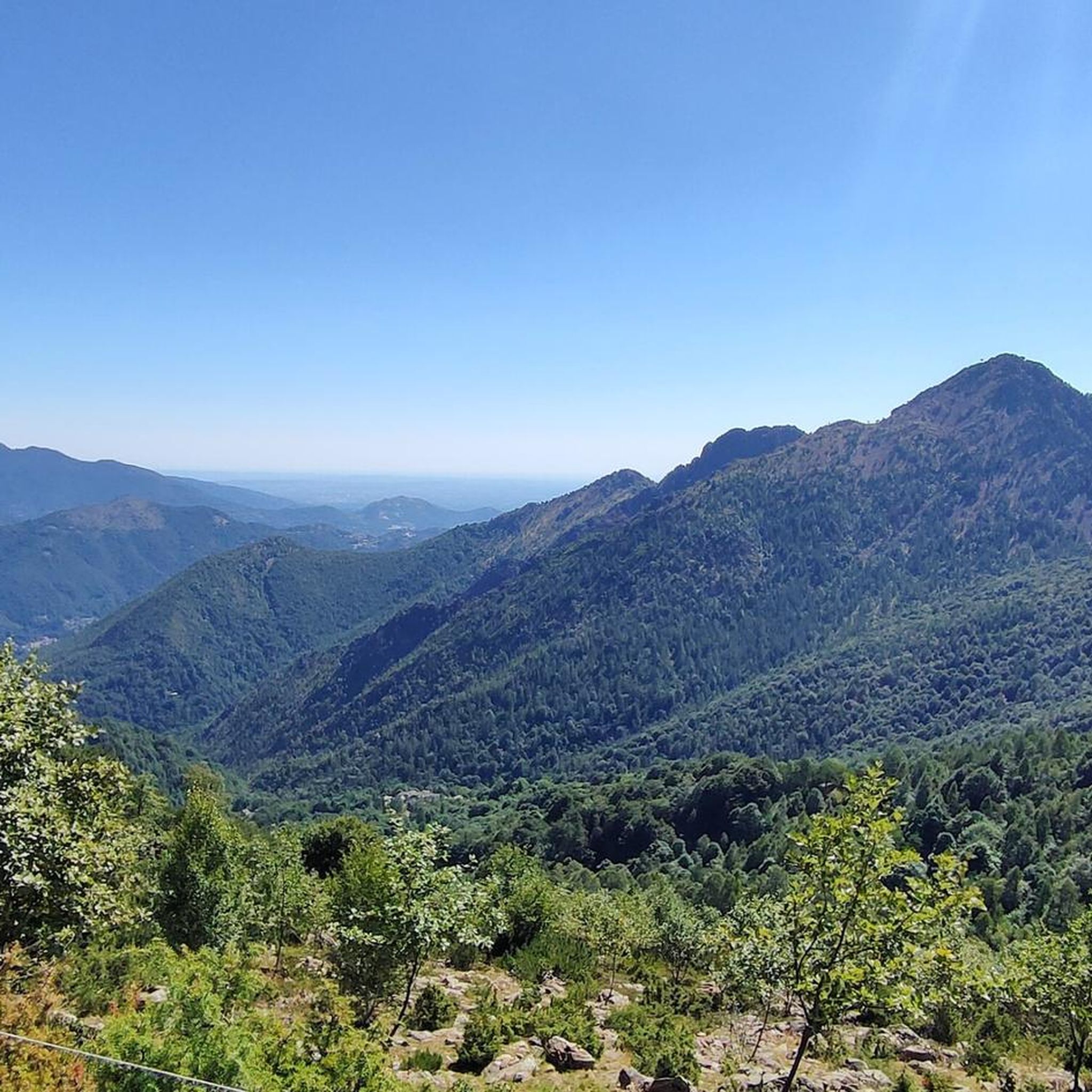
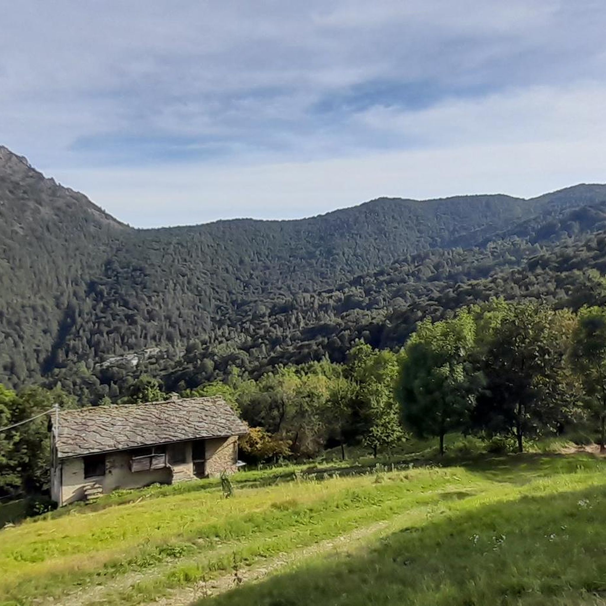
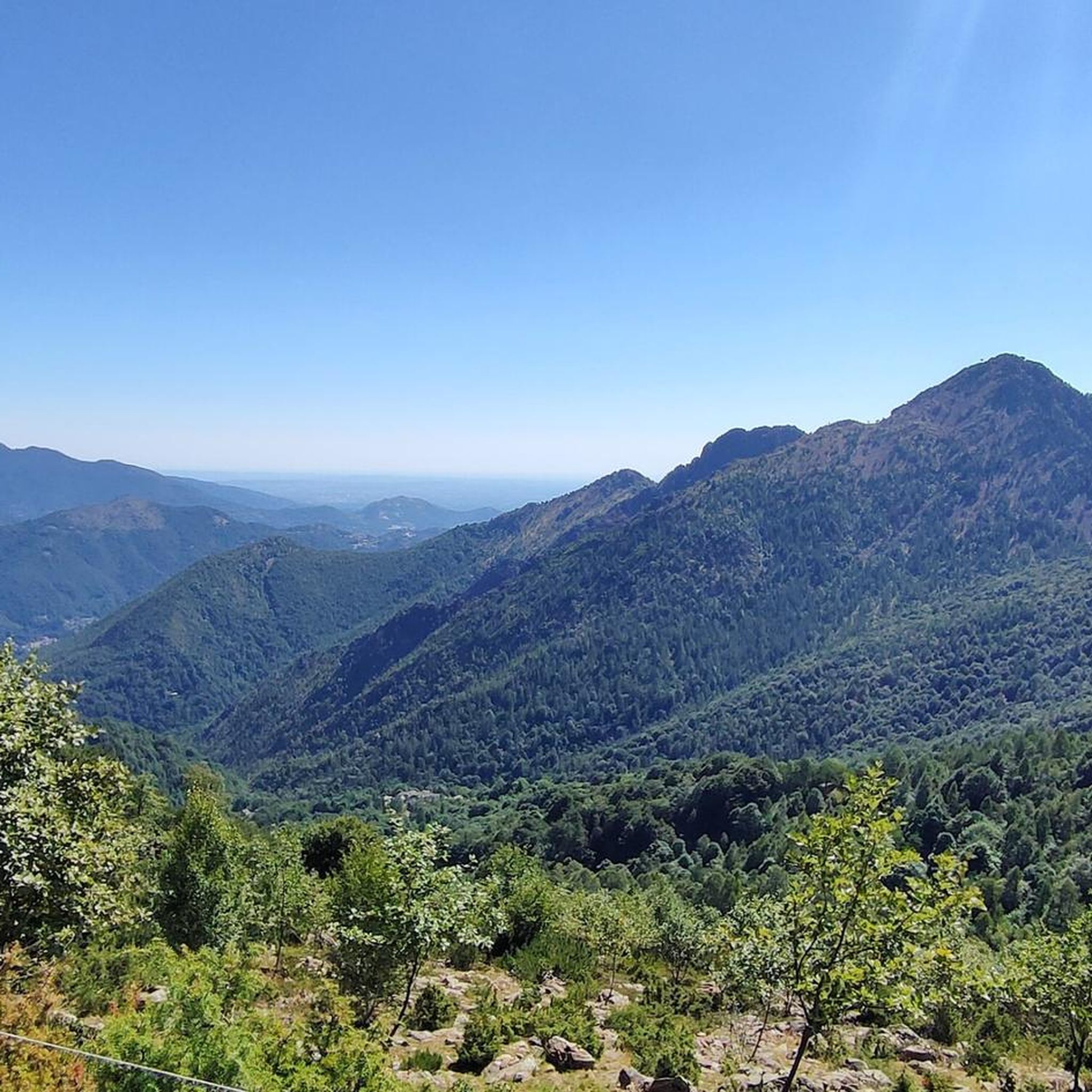
Hiking around Mezzenile offers diverse landscapes within Italy's Metropolitan City of Turin, Piedmont. The region features an altitude range from 533 meters to 2343 meters, providing varied terrain for hikers. It is characterized by verdant valleys, unspoiled forests, serene pastures, and imposing rocky peaks. The Stura di Lanzo stream flows through the area, adding to the scenic beauty of many hiking routes.
Best hiking trails around Mezzenile
- The most popular hiking route is Laghi di Sumiana Loop Trail, a…
Last updated: July 7, 2026
4.1
(7)
21
hikers
10.1km
03:24
500m
500m
Moderate hike. Good fitness required. Easily-accessible paths. Suitable for all skill levels.
4.5
(8)
20
hikers
11.2km
03:53
600m
600m
Moderate hike. Good fitness required. Easily-accessible paths. Suitable for all skill levels.

Sign up for free
3.0
(2)
6
hikers
14.3km
06:12
1,150m
1,150m
Hard hike. Very good fitness required. Mostly accessible paths. Sure-footedness required.
5.0
(1)
2
hikers
8.16km
02:38
350m
350m
Moderate hike. Good fitness required. Easily-accessible paths. Suitable for all skill levels.
5.0
(2)
2
hikers
13.1km
04:36
760m
760m
Moderate hike. Good fitness required. Easily-accessible paths. Suitable for all skill levels.
Get access to more routes and recommendations from other explorers.
Sign up for free
Already have an account?
Our route recommendations are based on thousands of hikes, rides, and runs completed by other people on komoot.
Start today with a free account
Your next adventure awaits.
Login or Signup

Tips from the Community

We returned via Alpe Laiet. Here, the trail signs were momentarily lost.
0
0

On the road that leads from Mezzenile to Alpe Belvedere and Alpe del Conte
1
0

It is found on the dirt road that descends from Alpe del Conte towards Mezzenile
0
0

The Garden Chapel at an altitude of 1057 m, dating back to the 17th century, is dedicated to Mary.
0
0
Chapel set in the mountain of construction dating back to 1500.
0
0

a pleasant lake with fresh, shallow water, muddy bottom but clear water. A couple of clearings excellent for a picnic before continuing the tour.
0
0

It can be reached by a wide panoramic dirt road. It was built in the 16th century by the inhabitants of Mezzenile in honor of the Consolata of Turin, it is said to thank her for having survived the plague of 1520.
0
0

A small rural village located on the Consolata ring, which can also be reached by an easy dirt road
0
0
Frequently Asked Questions
How many hiking trails are available around Mezzenile?
Mezzenile offers a network of over 20 hiking trails, catering to various skill levels. The region's diverse landscapes, from verdant valleys to rocky peaks, provide a wide range of experiences for hikers.
What kind of terrain can I expect on hikes in Mezzenile?
The terrain around Mezzenile is highly varied, ranging from 533 meters to 2343 meters above sea level. You can expect to hike through unspoiled forests, serene pastures, and along the Stura di Lanzo stream, as well as ascend to imposing rocky peaks. Trails often traverse different ecological zones, offering evolving views.
Are there easy hiking trails suitable for beginners in Mezzenile?
Yes, Mezzenile offers trails suitable for beginners. While many routes are moderate, there is at least one easy trail available. The extensive network ensures options for different ability levels, from gentle walks to more challenging ascents.
Are there any unique natural attractions to explore while hiking in Mezzenile?
Absolutely. One of Mezzenile's most significant natural attractions is the Grotte del Pugnetto, a series of natural caves recognized as the longest cave system in Italy formed within calcschist rock. Accessible sections are open to visitors, offering a unique underground exploration that can be combined with hiking in the surrounding area. The entrance to the main cave, 'Borna Grande,' is at about 810 meters, and a comfortable trail connects it to the asphalt road from Traves. Note that the cave is closed from November 1st to March 31st to protect bat populations. You can learn more about the caves on Wikipedia.
What notable landmarks or viewpoints can I find on hikes near Mezzenile?
Hikes in Mezzenile offer several rewarding viewpoints and landmarks. For panoramic views, consider reaching Monte Crestà, which stands at 1,173 meters. Many trails also pass by cultural points of interest, such as the various chapels along the Pessinetto Pilgrims' Path Loop. Other nearby attractions include the Devil's Bridge (Ponte del Diavolo) in Lanzo Torinese and the Lys Pass.
Are there family-friendly hiking options in Mezzenile?
Yes, the diverse network of trails in Mezzenile includes options suitable for families. Look for routes with lower elevation gain and shorter distances, often found in the verdant valleys and serene pastures. The Laghi di Sumiana Loop Trail, for example, leads through beech woods to tranquil lakes, offering a picturesque and accessible experience.
Are there any good circular hiking routes in Mezzenile?
Mezzenile features several excellent circular hiking routes. A popular choice is the Laghi di Sumiana Loop Trail, a moderate 10.1-kilometer path through beech woods to two tranquil lakes. Another option is the Pessinetto Pilgrims' Path Loop, an 11.2-kilometer route offering scenic views and passing by various chapels.
What is the best time of year to go hiking in Mezzenile?
The best time to hike in Mezzenile is generally during the spring, summer, and early autumn months when the weather is mild and trails are clear. From November 1st to March 31st, some natural attractions like the Grotte del Pugnetto are closed. Always check local weather conditions before heading out, especially for higher elevation trails.
Is parking available near the trailheads in Mezzenile?
Yes, parking is generally available near trailheads in Mezzenile and the surrounding Lanzo Valleys. Specific parking areas can vary by route, so it's advisable to check the starting point details for your chosen hike on komoot or local signage upon arrival.
Do I need any permits to hike in Mezzenile?
Generally, no specific permits are required for hiking on the established trails around Mezzenile. However, if you plan to explore protected areas or engage in specialized activities like speleology in the Grotte del Pugnetto, it's always best to check for any specific regulations or access requirements beforehand.
What do other hikers enjoy most about the trails in Mezzenile?
The hiking trails in Mezzenile are highly rated by the komoot community, with an average score of 4.5 stars from over 1200 reviews. Hikers often praise the diverse landscapes, from serene beech woods to challenging mountain terrain, and the well-maintained paths that lead to tranquil lakes and panoramic viewpoints. The combination of natural beauty and cultural interest, such as chapels along pilgrim paths, is also frequently highlighted.
Can I bring my dog on the hiking trails in Mezzenile?
Many hiking trails in Mezzenile are dog-friendly, allowing you to enjoy the natural beauty with your canine companion. It's always recommended to keep your dog on a leash, especially in areas with wildlife or livestock, and to follow local regulations regarding pet access. Ensure you carry enough water for both yourself and your dog, as water sources may not always be readily available on all trails.
Most popular routes around Mezzenile
Most popular attractions around Mezzenile

Get inspired with the komoot mobile app


Explore more
Browse the best Hikes in other regions.
