The 18 Most Amazing Peaks around Tavagnasco
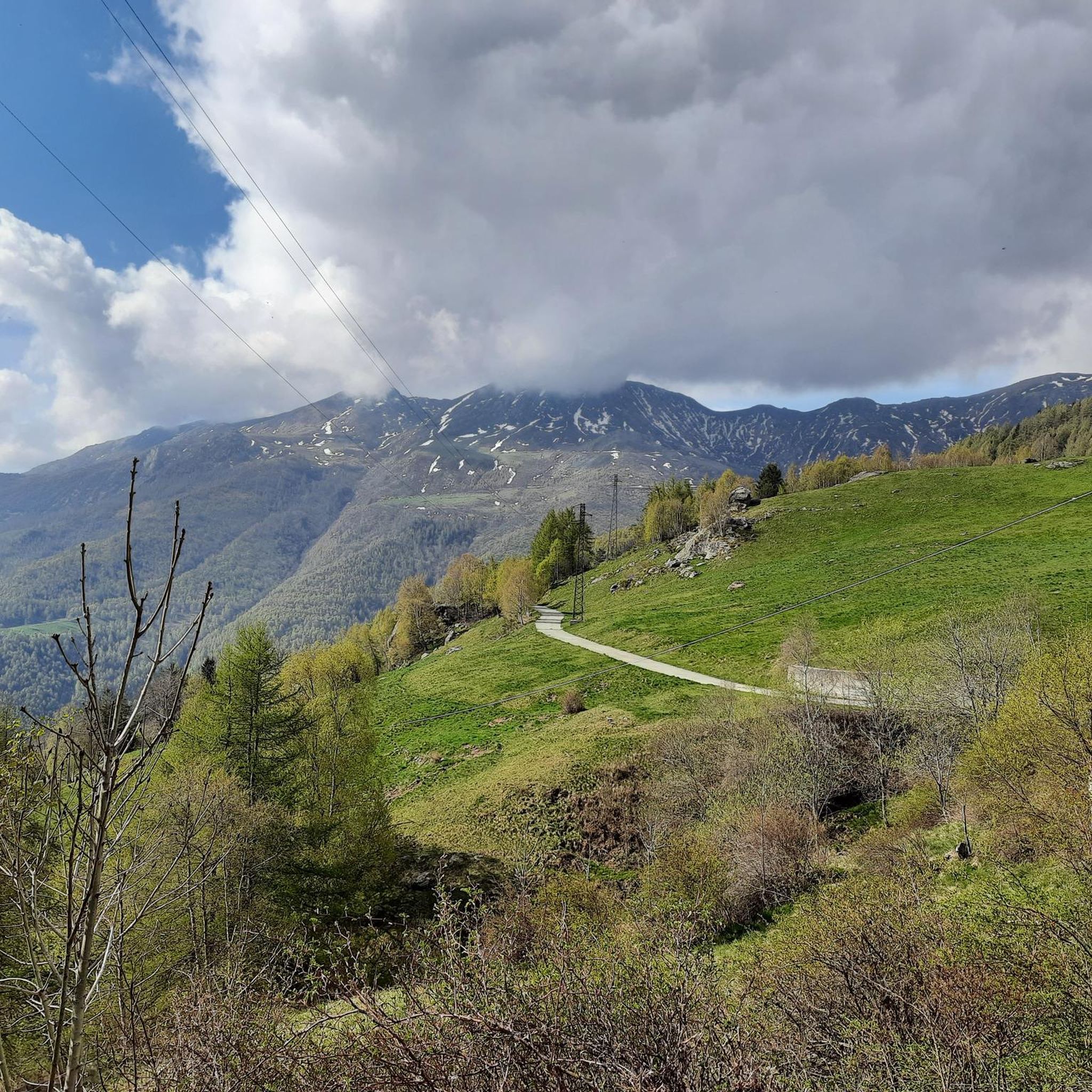
Mountain peaks near Tavagnasco Italy offer access to several captivating mountain peaks within the Italian Alps. The region is characterized by its diverse natural landscape, providing both scenic beauty and recreational opportunities. Visitors can explore a variety of terrains, from historical mule tracks to forested trails and open slopes. This area is known for its strategic vistas over the Aosta Valley and the Ivrea morainic amphitheater.
Best mountain peaks around Tavagnasco
- The most popular mountain peaks is Pian delle Nere, a viewpoint that serves as a starting point for various hiking trails. It offers panoramic views and features amenities like picnic areas and a playground.
- Another must-see spot is Bossola Peak (1,510 m), a summit. This summit is known for its panoramic views and accessibility, often described as an easy excursion.
- Visitors also love Colma di Mombarone Summit and Madonna Statue, a summit with a religious monument. From here, visitors can experience 360° views, including Monte Rosa and the Val d'Aosta mountains.
- Tavagnasco is known for its summits, viewpoints, and natural monuments. The variety of mountain peaks to see and explore includes challenging climbs and more accessible trails, catering to different hiking preferences.
- The mountain peaks around Tavagnasco are appreciated by the komoot community, with 148 photos shared and 113 upvotes for highlights in the area.
Last updated: May 11, 2026
Pian delle Nere
Highlight • Viewpoint
Translated by Google •
Tip by

Colma di Mombarone Summit and Madonna Statue
Highlight • Summit
Translated by Google •
Tip by

Sign up now to discover places like this
Get recommendations on the best single tracks, peaks, & plenty of other exciting outdoor places.
Sign up for free
Bossola Peak (1,510 m)
Highlight • Summit
Translated by Google •
Tip by
Roch Basarünt
Highlight • Natural Monument
Translated by Google •
Tip by

Bric Paglie
Highlight • Summit
Translated by Google •
Tip by

Sign up for free to discover even more peaks around Tavagnasco.
Sign up for free
Already have an account?
Start today with a free account
Your next adventure awaits.
Login or Signup

Tips from the Community

Nice ride … breathtaking views
0
0

short and very panoramic excursion
0
0

A beautiful peak near other higher peaks in the Biella area. Mombarone is clearly visible a short distance away. Bric Paglie can be reached from both sides, along fairly steep trails. This makes it possible to hike in a circular route.
0
0

Accessible by car via a somewhat narrow but recently restored paved road, it is in excellent condition. Ample parking is available. It has a barbecue and picnic area. It's also an excellent starting point for reaching the surrounding peaks.
1
0

Easy summit, very panoramic, too many people on holidays, better on weekdays.
0
0

Easily accessible on a paved road (unfortunately). Breathtaking view of the plain. In May, the spectacle of the daffodils blooming is unmissable.
1
0


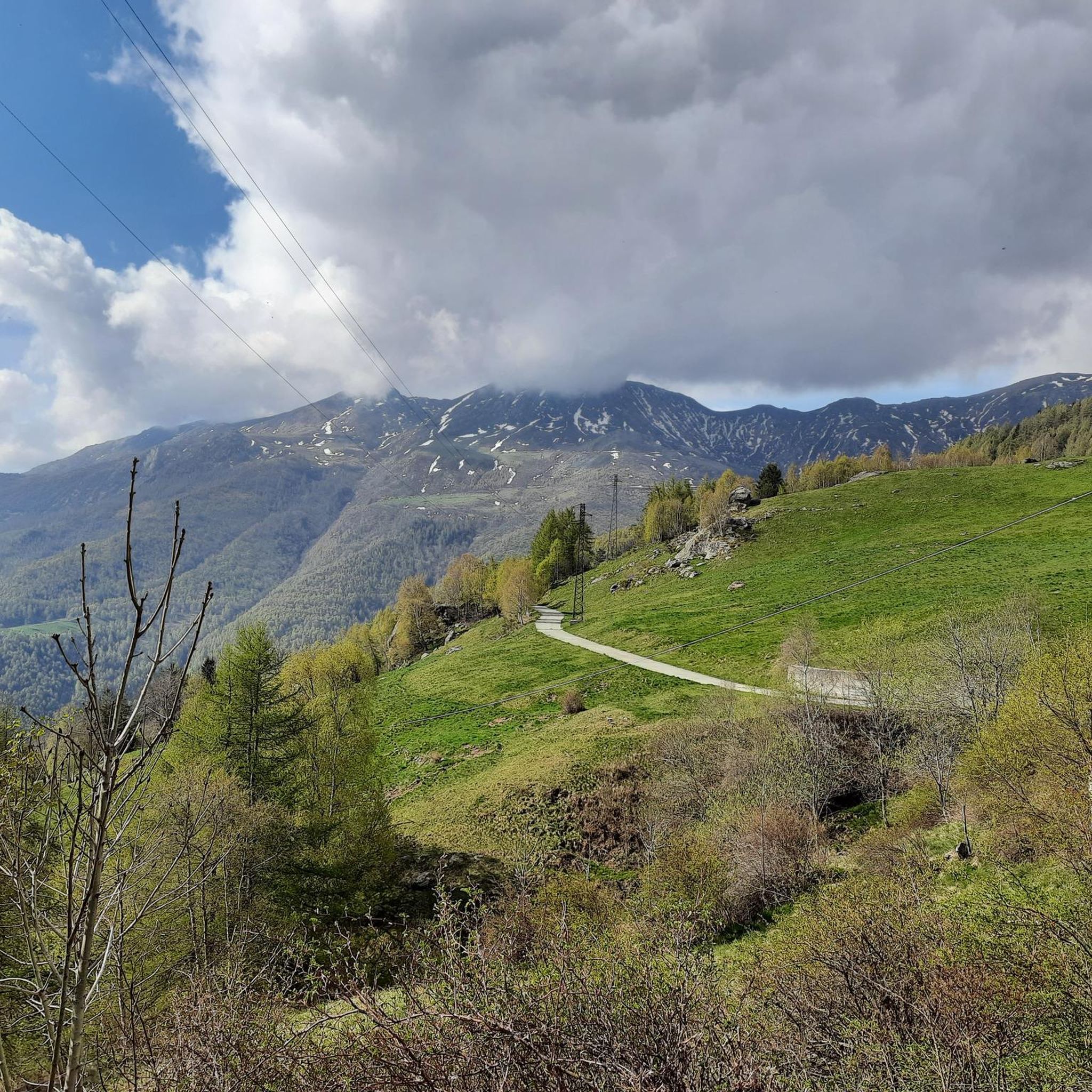
Pian delle Nere is a large flat space on the slopes of Mount Verzel from which you can enjoy a beautiful view of the Canavese and Serra. The area is equipped with picnic tables. In the first days of May the meadows around the area are colored white thanks to the flowering of daffodils. The equipped area can be reached from Castelnuovo Nigra, continuing towards Palasot and then following the signs for the "le Nere" equipped area, passing in front of the church of the Madonna dell Visitazione. From here we continue for a couple of kilometers on a narrow road with several single-lane points up to a saddle that is still a little wild but with very suggestive views. From here the road becomes a dirt road and then becomes a path and climbs towards the Fornetto refuge (2130 m) and the Verzel peak (2406 m). In this period the traditional Narcissus Festival is held in Castelnuovo Nigra which includes two days of celebration in the town. Singing groups will parade through the streets of the town, where they will find stalls selling artisanal, food and non-food products, a photographic exhibition, a drawing competition and food stands. And then welcome, flowers, tastings for everyone... https://turismo.unionevallesacra.to.it/pian-delle-nere/
0
0
Frequently Asked Questions
What are some notable mountain peaks to explore around Tavagnasco?
The region around Tavagnasco offers several captivating peaks. Pian delle Nere is a popular viewpoint and starting point for various trails. Other significant peaks include Monte Gregorio (1953m) and Monte Cavallaria (1478m), both offering impressive panoramic views. You can also visit Bossola Peak (1,510 m) and Colma di Mombarone Summit and Madonna Statue.
What kind of views can I expect from the mountain peaks near Tavagnasco?
From peaks like Monte Gregorio, you can enjoy extensive panoramic views of the majestic Monte Rosa and Cervino, several Swiss peaks, the Valchiusella, the vast plain stretching to Monviso, and even the distant Maritime Alps. Monte Cavallaria offers sweeping views of the entire Ivrea morainic amphitheater, the Aosta Valley mountains, and the lakes of the Ivrea area. From Colma di Mombarone Summit, visitors experience 360° views, including Monte Rosa and the Val d'Aosta mountains.
Are there family-friendly mountain trails around Tavagnasco?
Yes, there are options suitable for families. Pian delle Nere is a family-friendly viewpoint with amenities like picnic areas and a playground. Bossola Peak (1,510 m) is also described as an easy and very panoramic peak, suitable for a short excursion.
What are the best times to visit the Tavagnasco mountains for hiking?
The varied terrain makes the region appealing across seasons. Spring, particularly May, is spectacular around Pian delle Nere when meadows are covered in daffodils. For general hiking, late spring to early autumn typically offers the most favorable weather conditions. Winter is excellent for ski mountaineering on peaks like Monte Gregorio, which often guarantees good snow conditions due to its northeast exposure.
What types of hiking experiences can I find in the Tavagnasco area?
You can find a range of hiking experiences, from historical mule tracks and woodland paths to more challenging ascents. Trails leading to Monte Gregorio involve a picturesque mule track transitioning to forested trails and wider slopes. Monte Cavallaria offers demanding trails, often following old, paved mule tracks historically used for reaching alpine pastures. There are also easy excursions like the one to Bossola Peak.
Are there challenging hikes available near Tavagnasco?
Yes, for those seeking a more challenging experience, Monte Cavallaria is known for its demanding hiking trails. The main trail from Brosso, for example, gains 2225 feet over 6.4 miles. The ascent to Colma di Mombarone Summit is also considered challenging.
What historical aspects can I discover while exploring the mountain peaks?
Many trails in the region follow historically significant routes. For instance, paths leading to Monte Cavallaria often utilize old, paved mule tracks that were vital for local communities to access alpine pastures. The area's connection to the Grande Traversata delle Alpi (GTA) also highlights its historical role in connecting communities via ancient passes.
What outdoor activities can I do near the mountain peaks around Tavagnasco?
Beyond hiking, the area offers various outdoor activities. You can find numerous MTB trails, including easy to difficult routes like the 'Chapel of Saint Peter Martyr – The Chapel of Santa Croce loop' or the 'Guje di Garavot – Lake Alice loop'. Road cycling routes are also popular, with options such as the 'Floating platform on Lake Sirio – Lake Viverone loop'. For more details, explore the MTB Trails around Tavagnasco and Road Cycling Routes around Tavagnasco guides.
Are there specific hiking routes or long-distance trails near Tavagnasco?
Yes, the region is part of significant hiking networks. The Grande Traversata delle Alpi (GTA) long-distance hiking trail passes through the area. Specific routes include 'Sentiero Italia: Stage E41' and 'Great Crossing of the Alps: Maletto - Le Capanne'. You can find more hiking options in the Hiking around Tavagnasco guide.
What do visitors particularly enjoy about the mountain peaks near Tavagnasco?
Visitors appreciate the stunning panoramic views, especially from spots like Monte Gregorio and Monte Cavallaria, which offer sights of distant mountain ranges and valleys. The varied terrain, from historical mule tracks to open slopes, provides engaging hiking experiences. The presence of amenities like picnic areas and playgrounds at places like Pian delle Nere also adds to the enjoyment, making it suitable for different types of visitors.
Is there parking available for accessing hiking trails in the Tavagnasco mountains?
Yes, for some popular starting points, parking is available. For example, Pian delle Nere offers a large parking lot, serving as a convenient starting point for various hikes.
Can I find circular walks in the Tavagnasco mountain area?
Yes, some peaks offer the possibility of circular routes. For instance, Bric Paglie can be reached from both sides along fairly steep trails, making it possible to hike in a circular route. Bossola Peak also allows for a round trip.
Most popular routes around Tavagnasco
Most popular attractions around Tavagnasco

Get inspired with the komoot mobile app


Explore more
See even more amazing summits around Tavagnasco with these guides:
