The best walks and hikes around Sommariva Del Bosco
4.4
(421)
1,886
hikers
192
hikes
Hiking around Sommariva Del Bosco offers diverse landscapes, characteristic of the Roero area, with its distinctive hills and ancient gullies known as "rocche." The region features extensive woodlands, including the "Bosco dei faggi" with its large beech trees and other forests known for spring blooms like trumpet daffodils and asphodels. Trails often incorporate water features such as streams, springs, and historical irrigation canals, providing varied terrain for outdoor exploration. Hikers can also find routes offering panoramic views of the Alpine…
Last updated: July 1, 2026
5.0
(1)
5
hikers
9.40km
02:27
70m
70m
Hike the moderate Terre Rosse Trail for 5.8 miles (9.4 km) through distinctive red earth and silent woods with rewarding panoramas.
5.04km
01:18
30m
30m
Hike the easy 3.1-mile Sentiero Carandi countryside loop from Ceresole d'Alba, featuring rolling hills, farmland, and the Madonna dei Prati

Sign up for free
22.2km
05:58
270m
270m
Hike the difficult 13.8-mile (22.2 km) Route 406 from Ceresole d'Alba to Sommariva Perno, exploring Roero's vineyards and historic villages.
5.0
(1)
5
hikers
Moderate hike. Good fitness required. Easily-accessible paths. Suitable for all skill levels.
4.3
(4)
7
hikers
13.8km
03:37
110m
110m
Moderate hike. Good fitness required. Easily-accessible paths. Suitable for all skill levels.
Get access to more routes and recommendations from other explorers.
Sign up for free
Already have an account?
Our route recommendations are based on thousands of hikes, rides, and runs completed by other people on komoot.
Start today with a free account
Your next adventure awaits.
Login or Signup
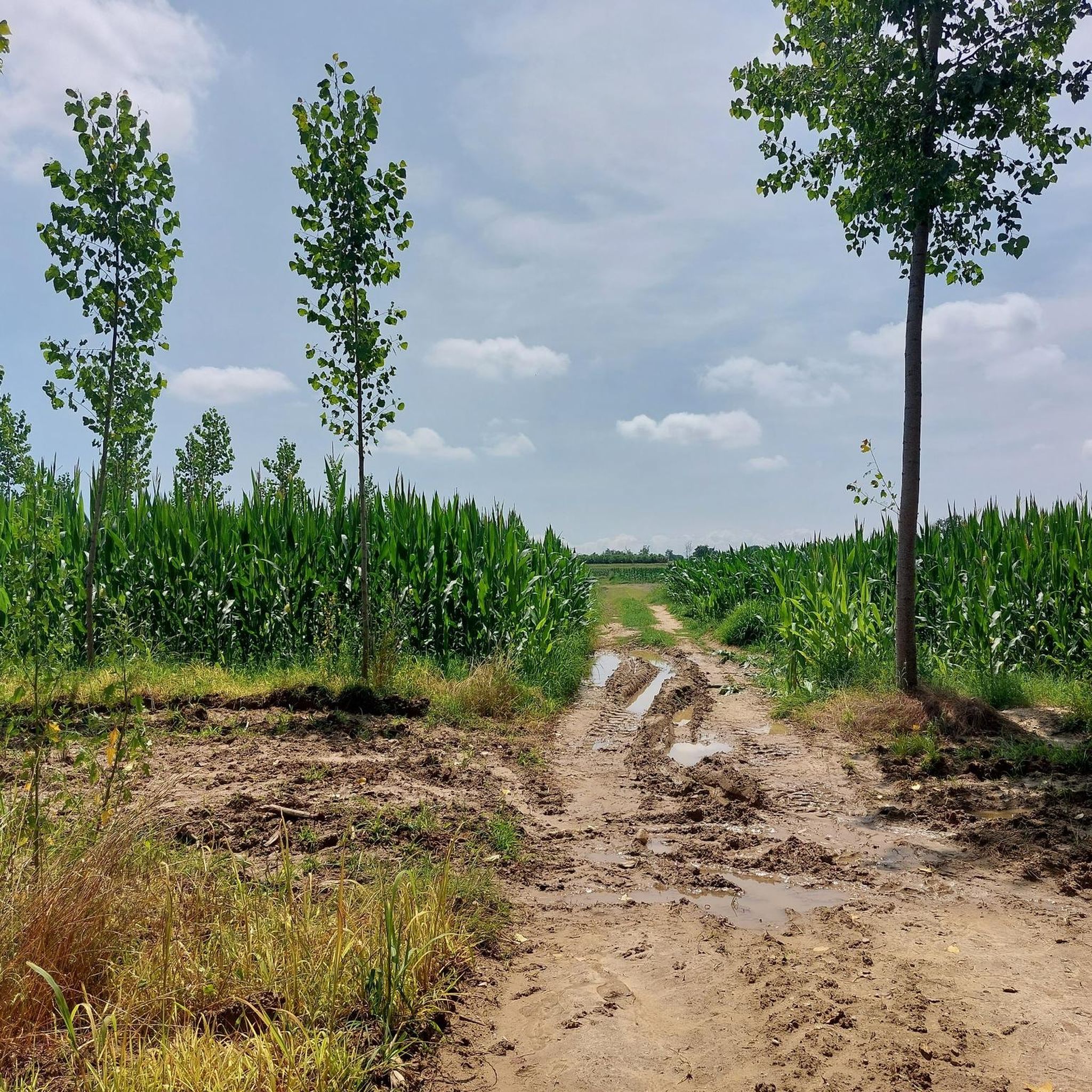
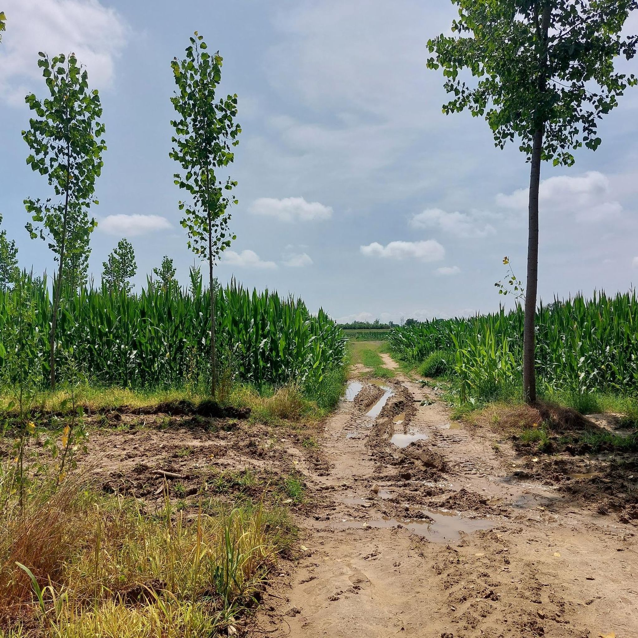

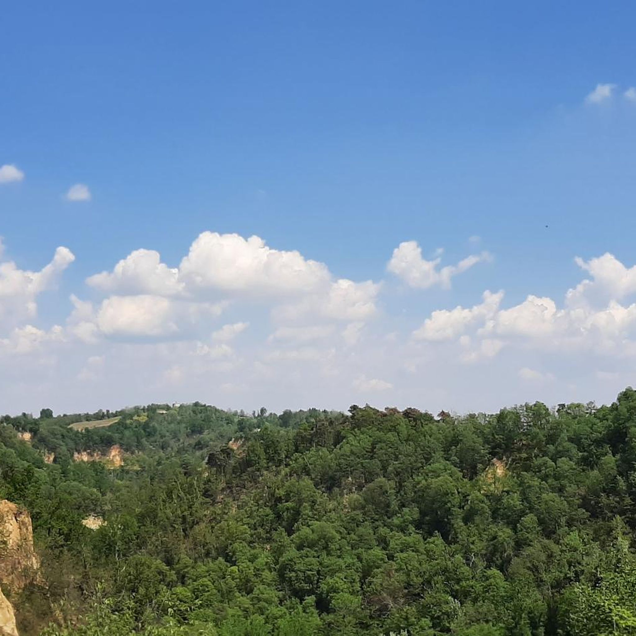
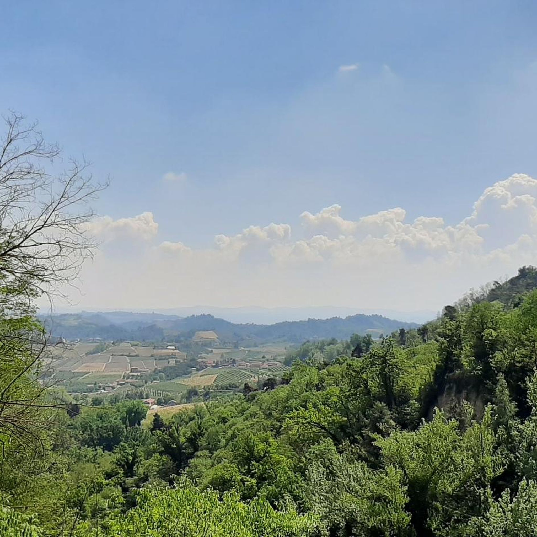
Tips from the Community


In the second part there is a lot of asphalt for the dogs...
0
0

Modern church: a sign indicates that it dates back to the 19th century, although the inscription on the facade indicates 1903 - little difference, anyway. Although it is so modern, it has an almost 18th century neoclassical style, which is very good. It makes a nice effect. It is located on the road that leads from Ceresole to San Bernardo and from there to the Roero hills: a very beautiful route, of which this church is a gem.
0
0

Roero is always a pleasure to walk its streets
0
0

but if this section is a s3 l s1 it is a paved road
1
0
Congratulations to those involved in helping these animals in need good
0
0

This oven was used in ancient times by the inhabitants of the time for baking bread. It was available to the whole community
0
0

One of the oldest buildings in Roero, probably already built at the beginning of the year 1000. Over the years it has been modernized and since 1733 it has been owned by the Seyssel d’Aix family.
1
0
Frequently Asked Questions
How many hiking trails are available around Sommariva Del Bosco?
There are over 170 hiking routes in the Sommariva Del Bosco area, offering a wide range of options for different skill levels and interests. These trails explore the diverse landscapes characteristic of the Roero region.
Are there easy hiking trails suitable for beginners or casual walkers?
Yes, Sommariva Del Bosco offers many easy trails. For instance, the Sentiero Carandi countryside loop from Ceresole d'Alba is an easy 3.1-mile (5.0 km) route through open countryside, typically completed in about 1 hour 18 minutes. Overall, there are 56 easy routes to choose from.
What kind of natural landscapes can I expect to see on hikes in this region?
The region is known for its diverse landscapes, including extensive woodlands like the ancient "Bosco dei faggi" (Beech Forest) and "boschi di gaggie" which burst with trumpet daffodils in spring. You'll also encounter the unique "rocche" – deep gullies formed by an ancient sea – and trails featuring watercourses, springs, and historical irrigation canals, such as those found along the "Sentiero delle Due Acque".
Are there any circular hiking routes in Sommariva Del Bosco?
Yes, many trails in the area are designed as circular routes. A popular option is the Bison delle Fate Trail – Gravel Road Through the Fields loop from Sommariva del Bosco, a moderate 8.8-mile (14.1 km) path that traverses gravel roads through open fields. Another is the San Grato Oven loop from Ceresole Alba, a moderate 13.7 km route.
What historical or cultural points of interest can be found along the trails?
Sommariva Del Bosco has several routes with historical and cultural significance. You can explore the "Sentiero di Castelvirante," which follows the site of a vanished fortified building, or the "Sentiero della Strega Paroda," linked to local folklore. The "Percorso Gotico" highlights medieval vestiges, and the "Sentiero di Fiaba" (Fairy Tale Path) in the historical center features large paintings depicting scenes from "The Sleeping Beauty."
Are there any trails that offer panoramic views?
Yes, several trails in the Sommariva Del Bosco area provide beautiful panoramic views, particularly of the Alpine arc. An easy and flat walk connecting Sommariva del Bosco to Ceresole d'Alba is noted for these stunning backdrops.
What do other hikers enjoy most about hiking in Sommariva Del Bosco?
The hiking routes around Sommariva Del Bosco are highly rated by the komoot community, with an average score of 4.3 stars from over 370 reviews. Hikers frequently praise the diverse landscapes, the tranquility of the woodlands, and the well-maintained trails that offer a mix of natural beauty and historical insights.
Can I find trails that feature water elements like streams or lakes?
Absolutely. Naturalistic routes such as the "Sentiero delle Due Acque" are characterized by watercourses, springs, and "bealere" (historical irrigation canals). Additionally, some trails lead to small lakes within the Roero Forest Park, offering serene water features.
Are there any notable natural monuments or attractions near the hiking routes?
Yes, the area features several natural and historical attractions. You can visit the La Castagna Granda, a monumental chestnut tree, or explore the Bosco del Merlino forest. The Pralormo Castle is also a significant nearby landmark.
What is the best time of year to go hiking in Sommariva Del Bosco?
Spring is particularly beautiful for hiking in Sommariva Del Bosco, as many forest areas, like the "boschi di gaggie" and the "antico bosco delle 'fini superiori'," showcase impressive blooms of trumpet daffodils, asphodels, and periwinkles. The "Sentiero del Bosco dei Faggi" is also noted for its fabulous spring blooms.
Are there any challenging hikes for experienced trekkers?
While the area offers many easy and moderate options, there are also more challenging routes. For instance, the route From Ceresole d'Alba to Sommariva Perno (via Route 406) is a difficult 13.8-mile (22.2 km) trail with significant elevation changes, taking over 5 hours to complete. In total, there are 7 difficult routes available.
What makes the Roero area, where Sommariva Del Bosco is located, unique for hiking?
The Roero area is distinctive for its "rocche" – ancient gullies that are remnants of a prehistoric sea, creating a unique and varied topography. This, combined with diverse forests, panoramic views of the Alpine arc, and a rich network of historical paths, makes it a compelling destination for hikers seeking varied terrain and natural beauty.
Most popular routes around Sommariva Del Bosco
Most popular attractions around Sommariva Del Bosco

Get inspired with the komoot mobile app


Explore more
Browse the best Hikes in other regions.
