Top 20 Mountain Passes around Massello
Mountain passes around Massello offer access to significant alpine crossings in the Metropolitan City of Turin. The region is known for its hiking opportunities in the Valle Germanasca, providing a mix of natural beauty and historical significance. Visitors can explore high-altitude environments with challenging terrain and expansive vistas. The area features varied landscapes, from larch forests to open alpine meadows, with remnants of historical military structures.
Best mountain passes around Massello
- The most popular mountain passes is Strada dell'Assietta and…
Last updated: September 29, 2026
Blegier Pass
Highlight • Mountain Pass
Translated by Google •
Tip by

Colle dell'Assietta
Highlight • Mountain Pass
Translated by Google •
Tip by

Sign up now to discover places like this
Get recommendations on the best single tracks, peaks, & plenty of other exciting outdoor places.
Strada dell'Assietta and Colle dell'Assietta (2472 m)
Highlight (Segment) • Mountain Pass
Translated by Google •
Tip by

Strada dell'Assietta
Highlight • Trail
Translated by Google •
Tip by

Col Basset
Highlight • Mountain Pass
Translated by Google •
Tip by

Sign up for free to discover even more mountain passes around Massello.
Already have an account?
Start today with a free account
Your next adventure awaits.



Other adventures around Massello

Tips from the Community

This hill is best appreciated when climbing from Monfol because it offers an excellent panoramic viewpoint over the Chisone valley. You arrive at the end of a long traverse, very restful especially if cycled due to the moderate gradients. The downside is the significant traffic of off-road vehicles, almost all foreign, that use the beautiful high-altitude road known as the Strada dell'Assietta. Make sure to refuel along the way BEFORE the pass, taking advantage of the many streams, because from the pass onwards, whether heading towards Sestriere or towards the Assietta, you'll find almost no water... and there's a lot of dust! Another recommendation: avoid this route if a thunderstorm threatens, as there are no shelters and you risk serious lightning strikes!
1
0

one of the many hills along the military road
1
0

I'd been dreaming of being there for a long time, and I finally made it. It's a simply wonderful place. Words needn't be written. I climbed to the pass on its eastern slope, the one that starts from Pian dell'Alpe, and previously climbed Colle delle Finestre from Susa. Combining the two sections, I can assure you it's one of the toughest climbs I've ever done, but also one of the most beautiful. The section from Pian dell'Alpe to Colle della Assietta is divided into three parts: the first 4 kilometers of a steady climb at 6-7% gradient, the 2-kilometer intermediate rest stop, and the final 4 kilometers with steeper gradients and a worse track condition. I wholeheartedly invite you all to enjoy this wonderful place.
1
0

Former military road almost completely unpaved, located along the mountain ridge that separates the Val di Susa from the Val Chisone. From Pian dell'Alpe to Sestriere you travel 30 km admiring suggestive landscapes both on one valley and on the other
2
1
Reachable from both Val Susa and Val Chisone. Wonderful views in any direction you decide to continue
1
0

A hill that goes up a forest road, sometimes rocky, goes up through the heart of the Great Forest in the Parco Naturale della Gran Bosco di Salbertrand (Natural Park of the Great Forest of Salbertrand) to the Col Blegier (pass). Because it is a forest road, the trail is not technically difficult, but there is 640 m (2,100 ft) of climbing in this 7.7 km
1
0

Dirt road that can be traveled from Pian dell'Alpe to above Sestriere
0
0

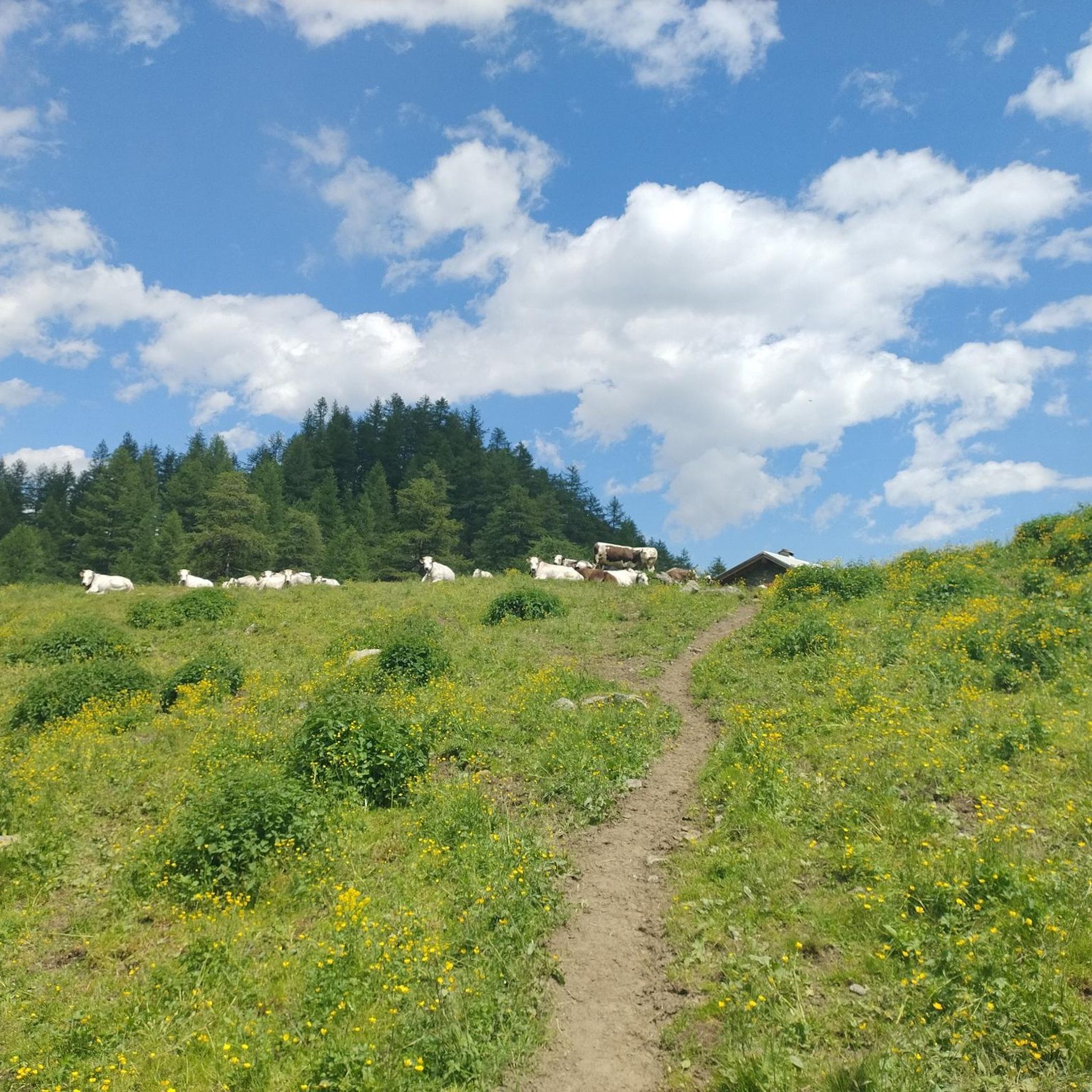
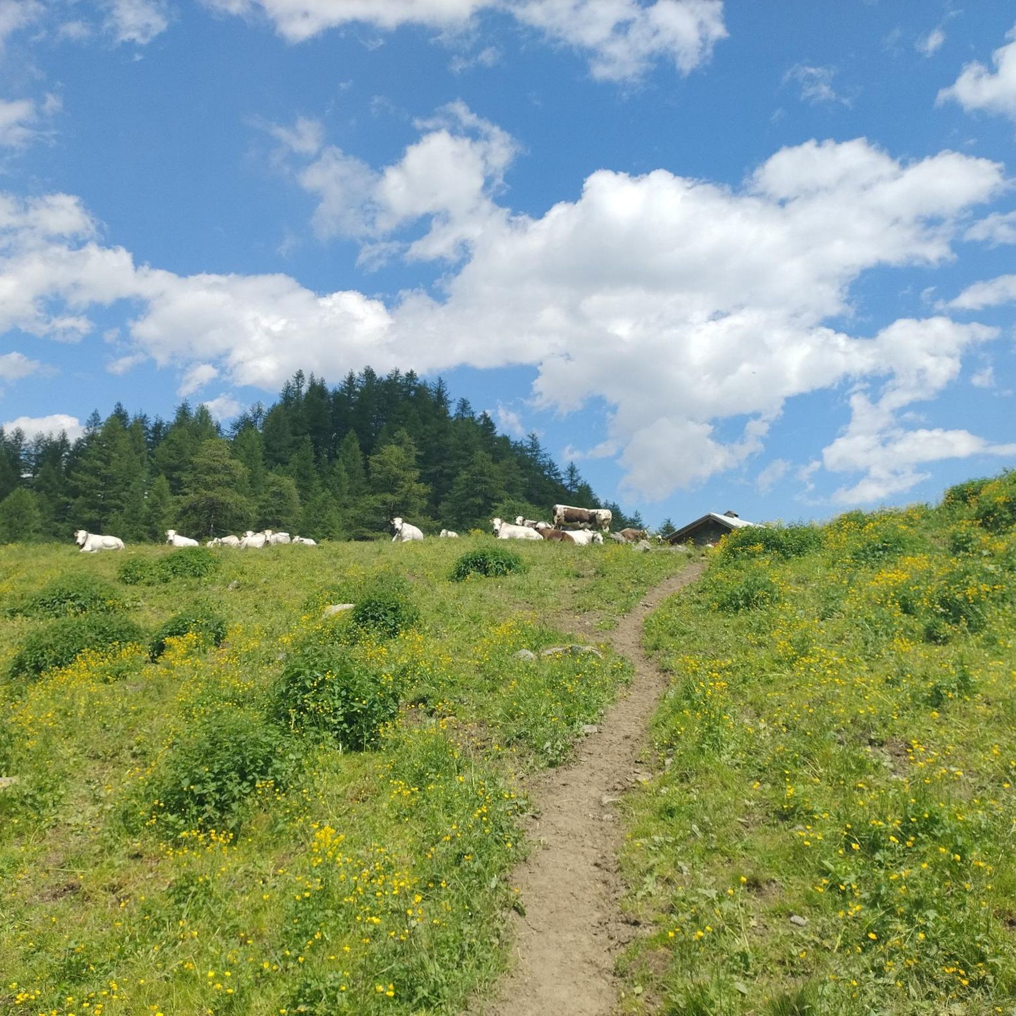
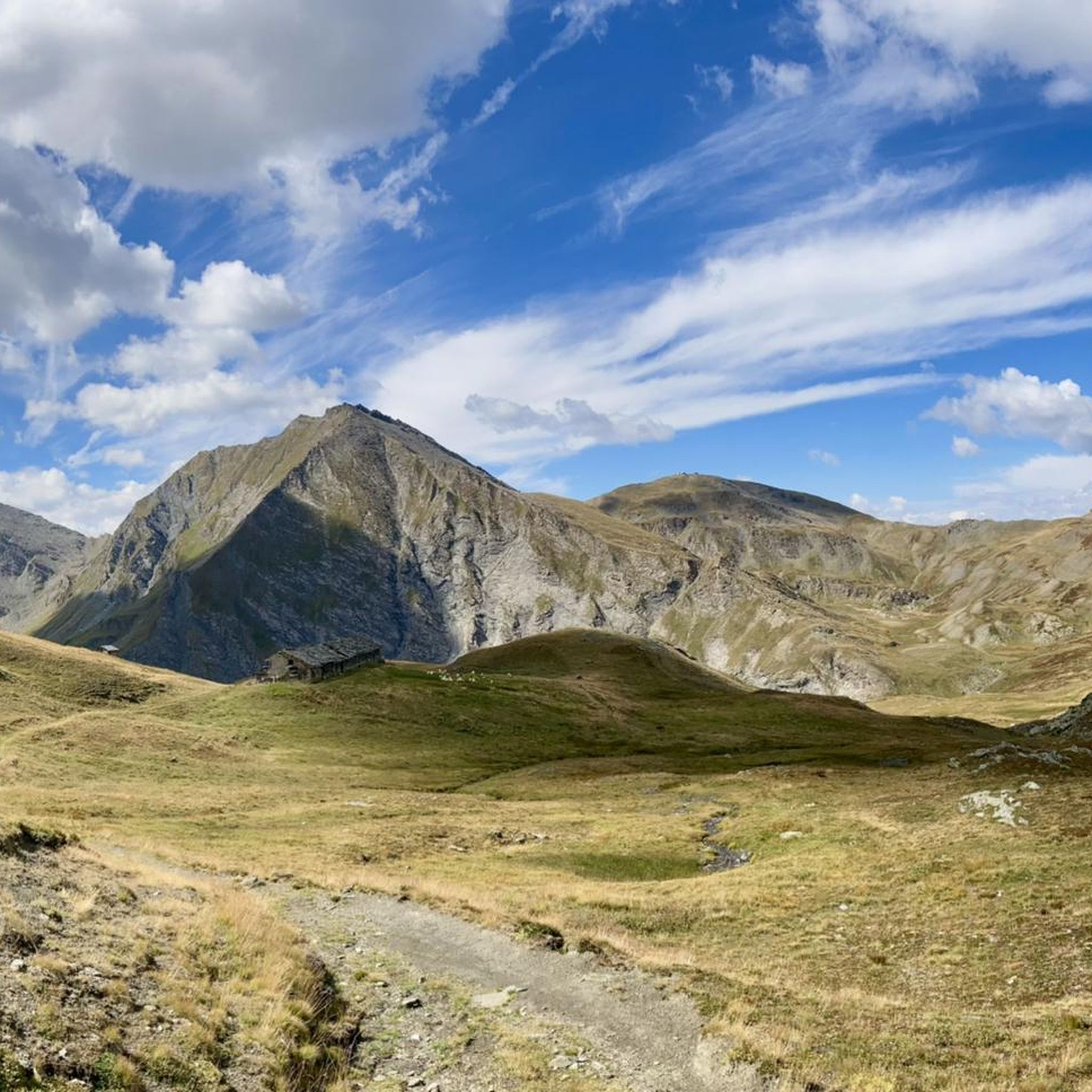
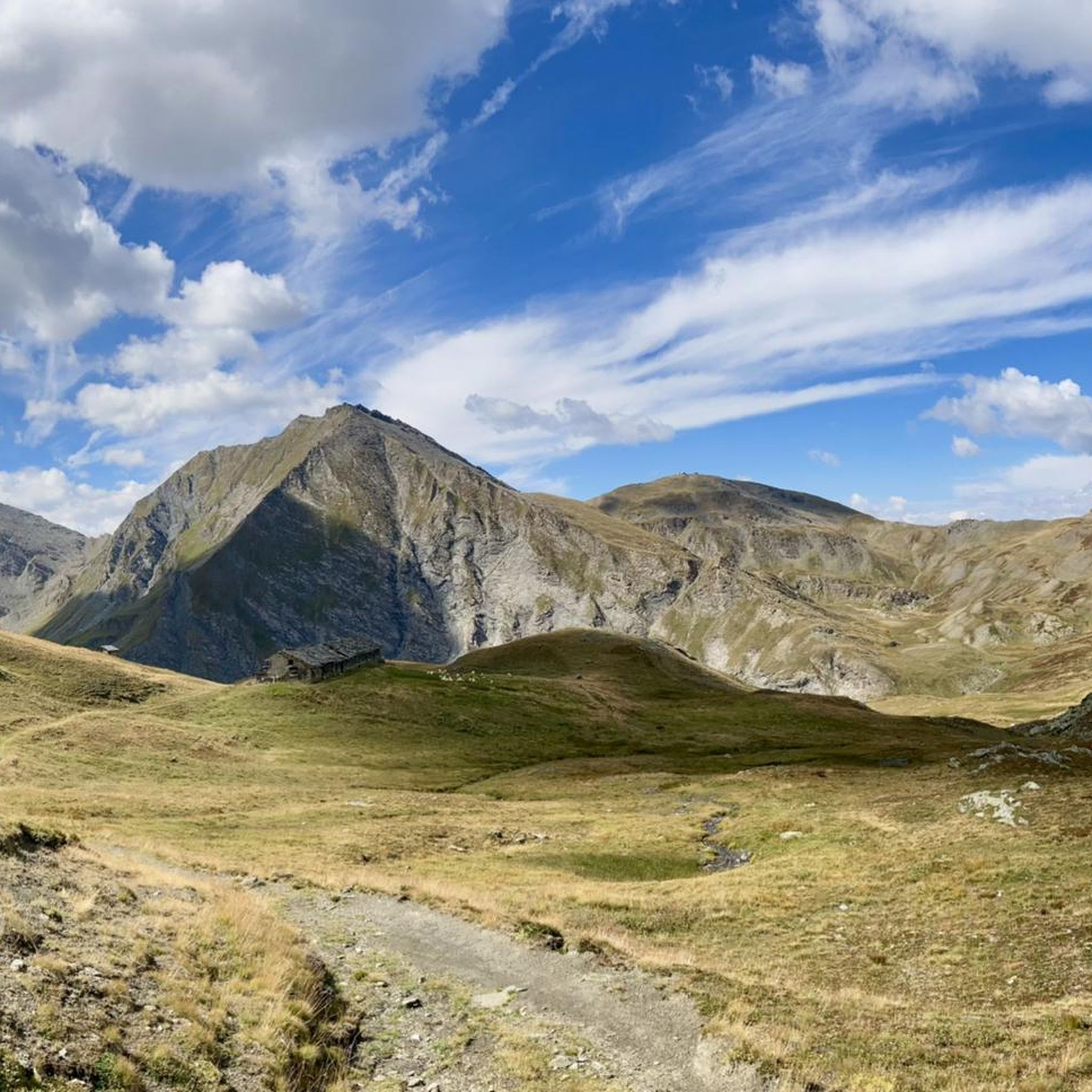
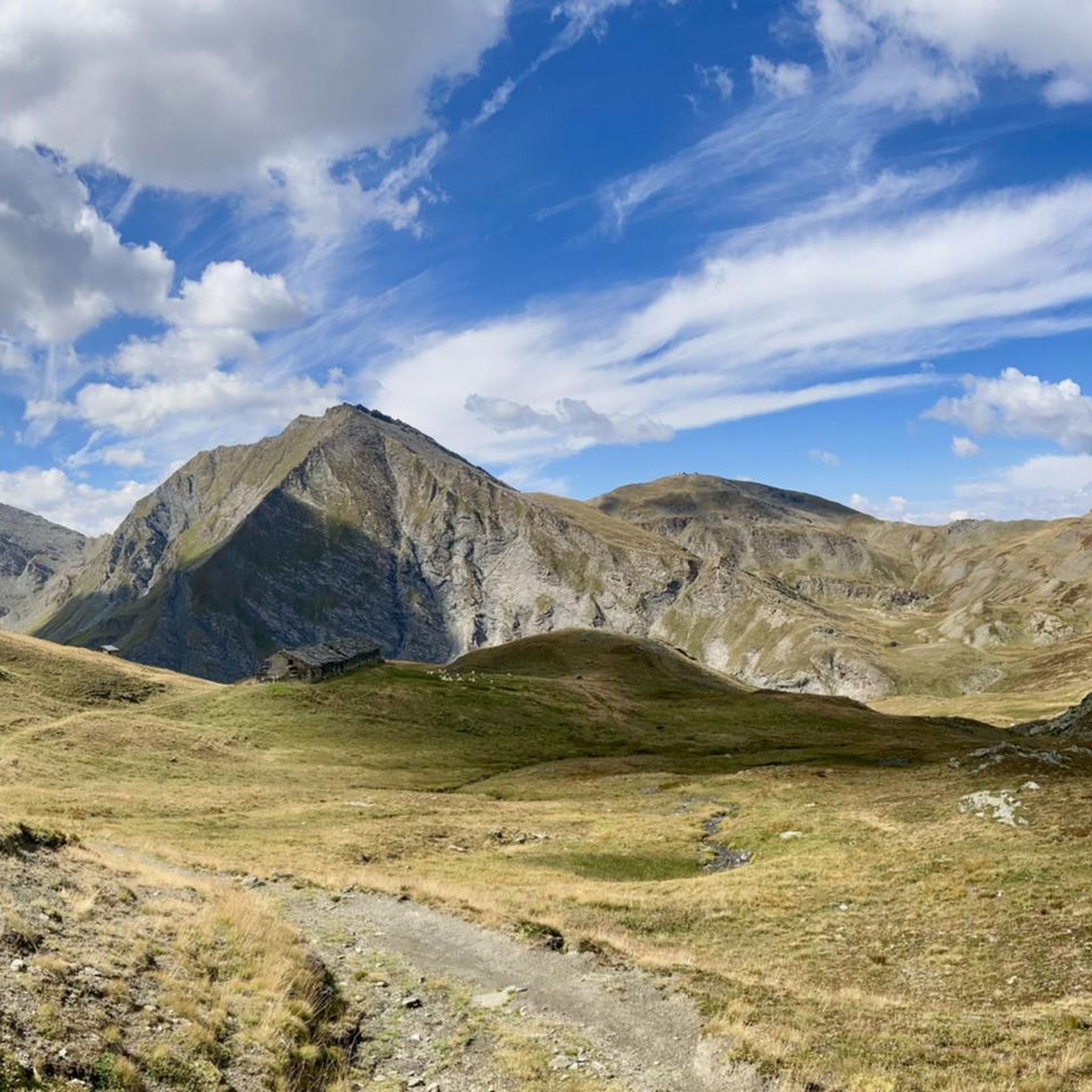
Col Basset is located along the ridge that separates the Susa and Chisone valleys. The peak is located approximately 2,400 meters above sea level and can only be reached via a dirt road that can be traveled with gravel bikes or mountain bikes. The landscape is typical of the Alpine environment: alpine meadows that fade towards the highest peaks into rocks and scree.
1
1
Frequently Asked Questions
What are some of the most notable mountain passes around Massello?
The region around Massello offers access to significant alpine crossings. Two prominent examples are the Colle dell'Assietta, known for its historical Strada dell'Assietta, and the Colle dell'Albergian, which is a key point for routes from Val Chisone into Valle di Massello.
What makes the Strada dell'Assietta a popular destination?
The Strada dell'Assietta is a famous 34-kilometer dirt road, almost entirely above 2,000 meters, offering stunning panoramic views of the Alps. It's popular for mountain biking, touring motorbikes, and hiking. On specific days in July and August, it's even closed to motorized traffic for a more serene experience.
What can I expect when visiting Colle dell'Albergian?
The Colle dell'Albergian offers a challenging but rewarding hike, typically taking about 4 hours to reach the pass from Laux. You'll traverse varied terrain, from silent larch forests to open alpine meadows, and can visit the picturesque Laghi dell'Albergian (Albergian Lakes) below the pass.
Do any of the mountain passes around Massello have historical significance?
Yes, both the Colle dell'Assietta and Colle dell'Albergian areas are rich in history. The Strada dell'Assietta was built for military purposes, with ruins of historical forts and being the site of the Battle of Assietta in 1747. Along the route to Colle dell'Albergian, you can also find abandoned military barracks.
What kind of natural landscapes can I expect to see at these mountain passes?
You can expect diverse alpine environments. The Colle dell'Assietta offers high-altitude vistas and expansive views of the surrounding Alps. The route to Colle dell'Albergian features silent larch forests, open alpine meadows, and the serene Laghi dell'Albergian (Albergian Lakes).
What activities can I do on the Strada dell'Assietta?
The Strada dell'Assietta is a popular destination for mountain biking, touring motorbikes, and hiking. Its challenging terrain and high-altitude environment make it ideal for those seeking an adventurous outdoor experience.
Are there hiking opportunities at Colle dell'Albergian?
Yes, the ascent to Colle dell'Albergian is a significant hiking route. Starting from Laux, it involves a substantial elevation gain but is generally considered manageable without overly exposed or dangerous sections, offering a rewarding experience with scenic views and historical remnants.
What is the best time to visit the mountain passes around Massello?
The Strada dell'Assietta, which traverses several passes including Colle dell'Assietta, is typically open from June 1st to October 31st, weather permitting. This period generally offers the best conditions for exploring the high-altitude passes.
Are there any family-friendly mountain passes or viewpoints in the area?
Yes, the Blegier Pass is noted as family-friendly. It's a crossing point between the Gran Bosco di Salbertand road and the Assietta road, offering a viewpoint that can be reached from both Val di Susa and Val Chisone.
What outdoor activities can I do near these mountain passes?
Beyond exploring the passes themselves, the Massello area offers various outdoor activities. You can find numerous running trails, MTB trails, and road cycling routes. Popular options include the 'Pragelato - Massello Trail' for MTB or 'Colle del Sestriere Climb from Pragelato' for road cycling.
What do visitors enjoy most about the mountain passes around Massello?
Visitors frequently praise the stunning panoramic views, the unique high-alpine environment, and the historical significance of the routes. Many appreciate the challenge and reward of traversing the Strada dell'Assietta and the serene beauty of places like the Laghi dell'Albergian.
What is the elevation of the main mountain passes?
The Colle dell'Assietta is situated at an elevation of 2,472 meters (8,110 feet) above sea level. The Colle dell'Albergian reaches an even higher altitude of 2,708 meters (8,885 feet).
Most popular routes around Massello
Most popular attractions around Massello

Get inspired with the komoot mobile app


Explore more
See even more epic mountain passes by checking out these guides around Massello:
