The best walks and hikes around Cavagnolo
4.1
(285)
796
hikers
140
hikes
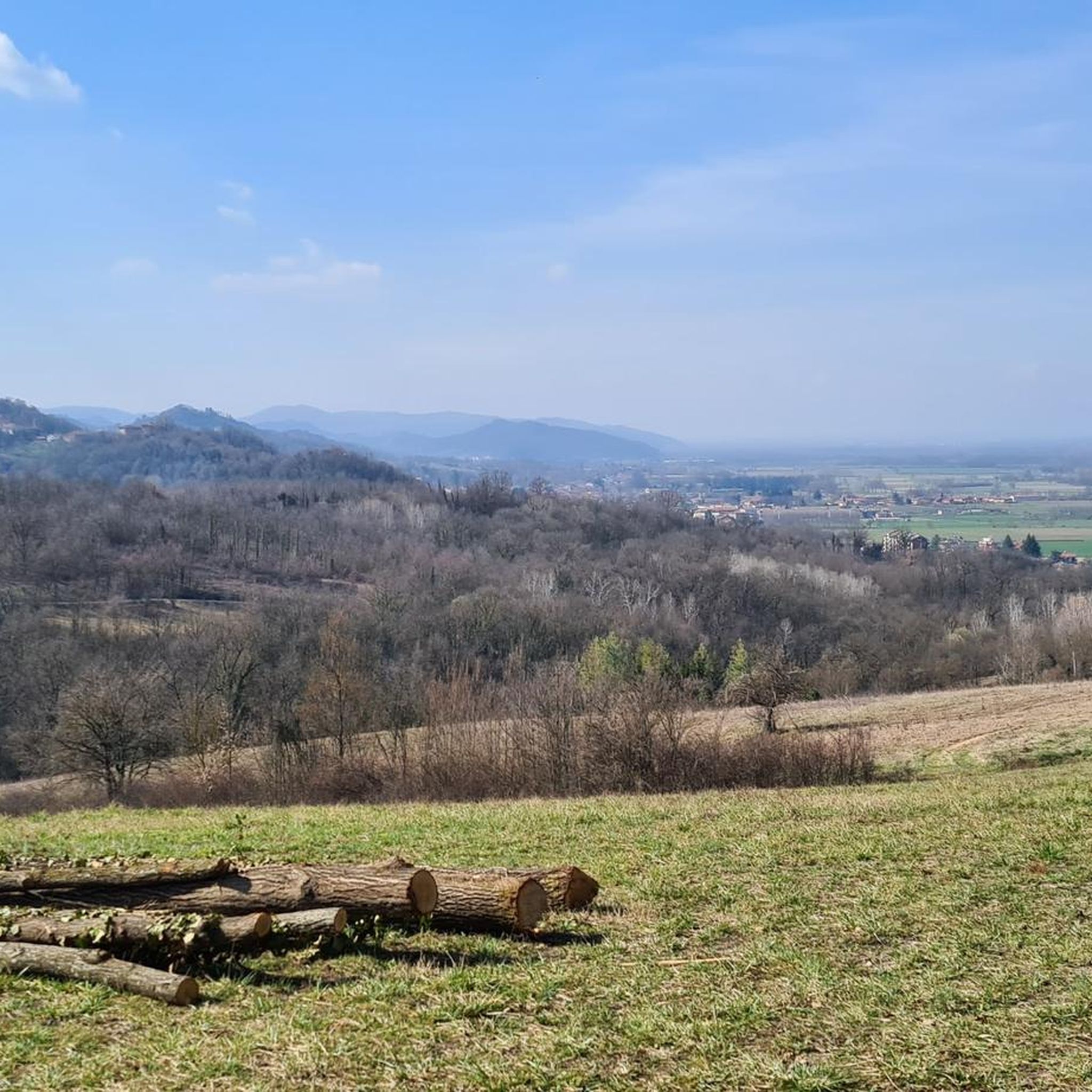
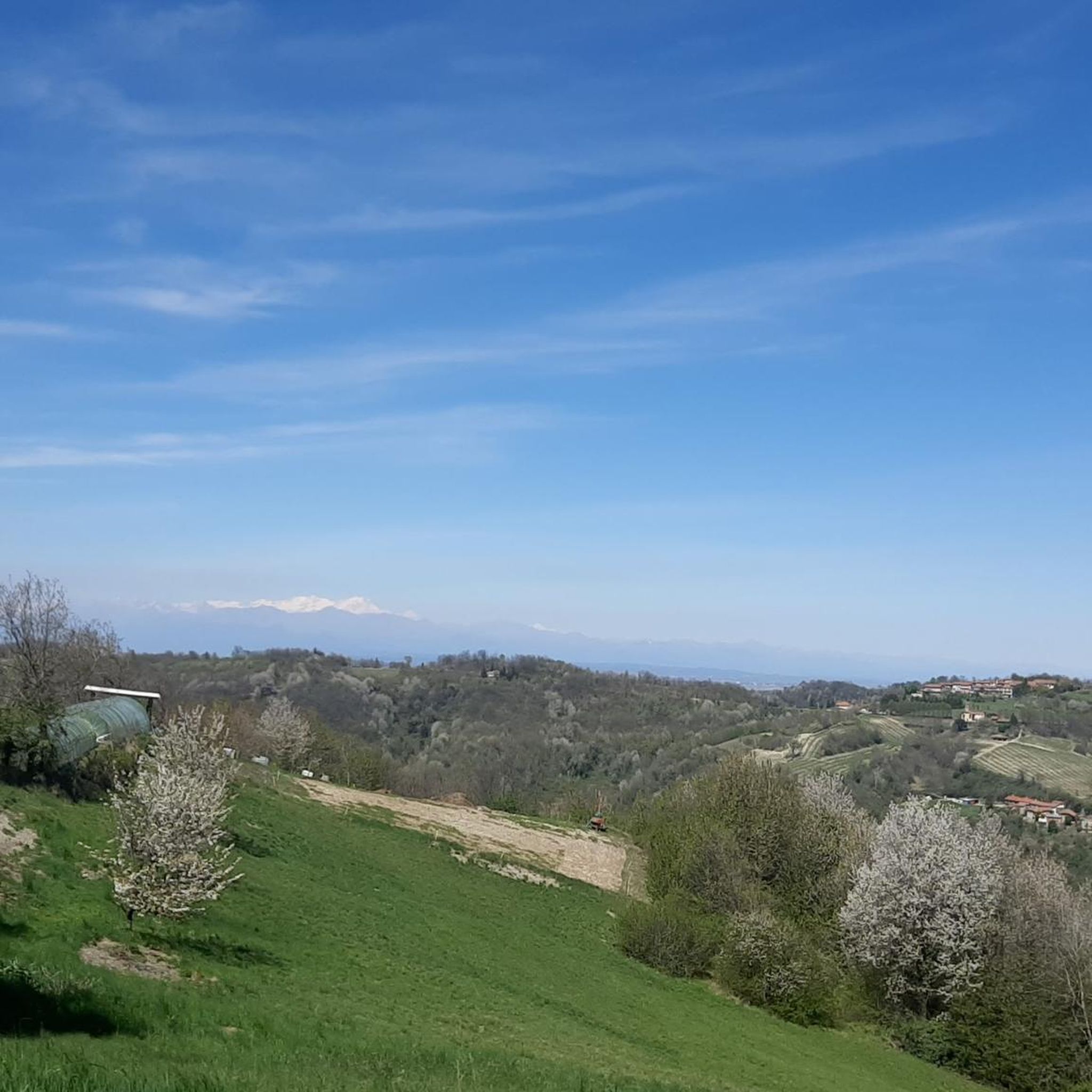
Hiking around Cavagnolo offers diverse experiences within Italy's Piedmont region, characterized by its predominantly hilly terrain. The landscape features forest trails that wind through these hills, providing varied elevations and scenic vistas. Situated in the northern Montferrat region, Cavagnolo's outdoor offerings often integrate natural beauty with historical elements. The area provides a range of hiking opportunities across its varied topography.
Best hiking trails around Cavagnolo
- The most popular hiking route is From San Sebastiano da Po to Tonengo (via Trail 301), a 6.1 miles (9.8 km) moderate trail that takes 2 hours 54 minutes to complete, traversing forest paths.
- Another top favourite among local hikers is Aramengo Loop Trail, a moderate 9.3 miles (15.0 km) path. This route features a significant elevation gain, offering expansive views of the surrounding hilly landscape.
- Local hikers also love the From Chiesa dei Santi Agata e Vitale to Frazione Gerbole (via Trail 107), a 4.9 miles (7.9 km) trail leading through the hilly terrain, often completed in about 2 hours 16 minutes.
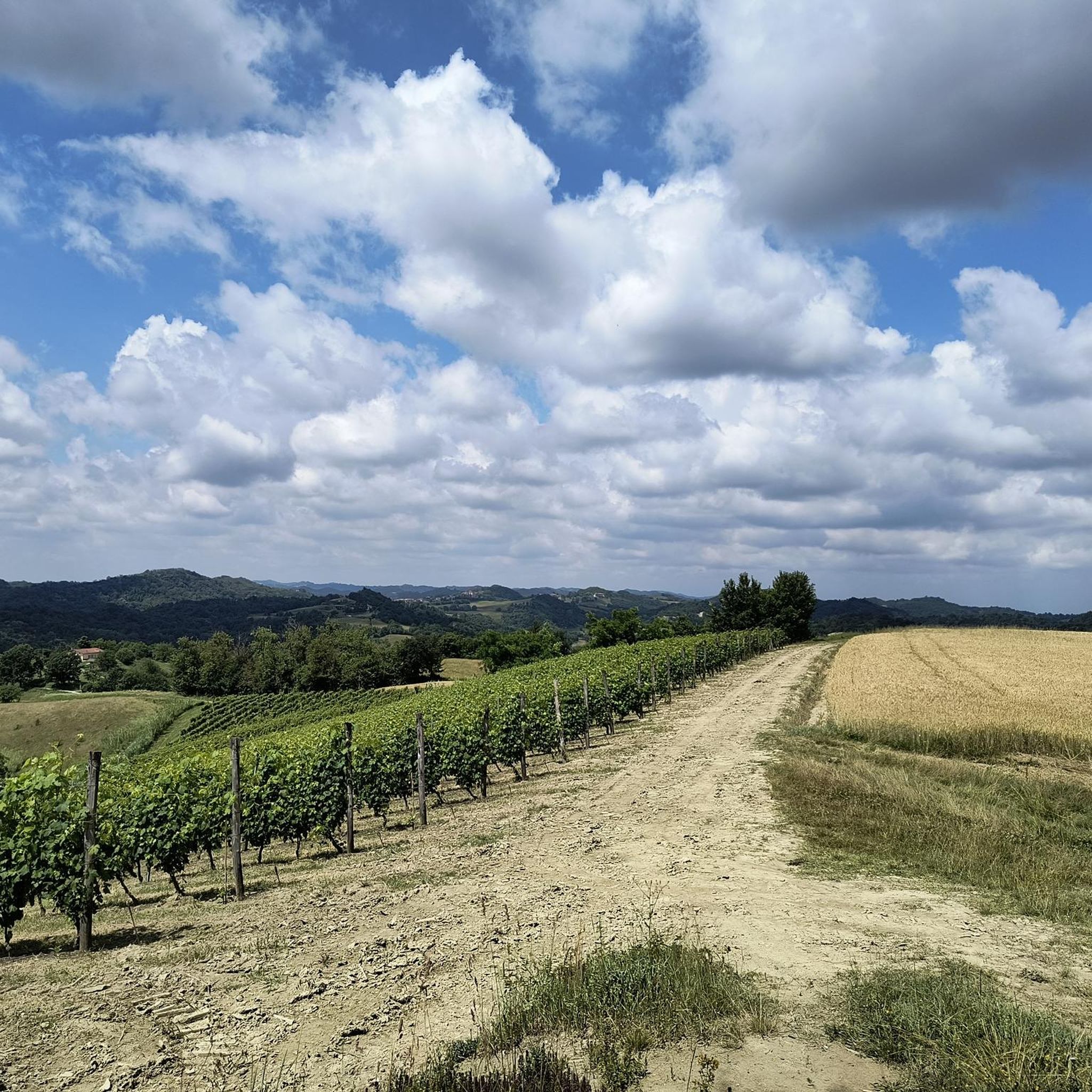
- Hiking around Cavagnolo is defined by hilly terrain, forest trails, and the occasional vineyard, offering a blend of natural and cultivated landscapes. The network provides options for various ability levels, from easier paths to more challenging routes.
- The routes in Cavagnolo are highly rated by the komoot community with an average score of 4.1 stars from more than 240 reviews. More than 700 hikers have used komoot to explore Cavagnolo's varied terrain.
Last updated: July 1, 2026
3
hikers
9.80km
02:54
280m
280m
Forest trail through Piedmont hills discovering hidden chapels and peaceful spiritual sanctuaries.
3.0
(1)
2
hikers
15.0km
04:22
400m
400m
Hike 9.3 miles (15.0 km) from Aramengo to Berzano San Pietro on Route 105, exploring Piedmont's vineyards and Romanesque churches.

Sign up for free
7.86km
02:16
200m
200m
Peaceful countryside walk through Piedmont farmland connecting historic villages via heritage trail.
9.30km
02:49
320m
320m
Peaceful Piedmont countryside walk connecting historic churches through authentic Langhe hills.
4.3
(7)
8
hikers
Easy hike. Great for any fitness level. Easily-accessible paths. Suitable for all skill levels.
Get access to more routes and recommendations from other explorers.
Sign up for free
Already have an account?
Our route recommendations are based on thousands of hikes, rides, and runs completed by other people on komoot.
Start today with a free account
Your next adventure awaits.
Login or Signup

Other adventures around Cavagnolo

Tips from the Community

Small church in the middle of the woods. Mass is celebrated every year in San Giuseppe
0
0

Frequently Asked Questions
How many hiking trails are available in Cavagnolo?
Cavagnolo offers a wide selection of hiking opportunities, with over 120 trails recorded. These routes cater to various fitness levels, from easy strolls to more challenging treks through the hilly Piedmontese landscape.
Are there easy hiking trails suitable for beginners or casual walkers in Cavagnolo?
Yes, Cavagnolo has a good selection of easier trails. For instance, the Hermitage of San Giuseppe – Castello di Lauriano loop from San Sebastiano da Po is an easy 4.5 km hike with minimal elevation gain, taking about 1 hour and 20 minutes. There are over 35 easy routes in the area, perfect for a relaxed outdoor experience.
What kind of terrain can I expect on Cavagnolo's hiking trails?
The terrain around Cavagnolo is predominantly hilly, characterized by winding forest trails. You'll encounter varied elevations, scenic vistas, and often pass through picturesque vineyards. The routes offer a blend of natural beauty and cultivated landscapes typical of the northern Montferrat region.
Can I find circular hiking routes in the Cavagnolo area?
Yes, circular routes are available. A notable option is the Aramengo Loop Trail, a moderate 15 km path that offers expansive views and a significant elevation gain, typically completed in about 4 hours and 22 minutes.
What historical or natural attractions can I see while hiking in Cavagnolo?
While hiking, you can discover several historical and natural sights. The region features hidden chapels, spiritual sanctuaries, and historical landmarks like the ruins of a castle, the Church of St. Secondo, and Villa Martini. You might also encounter natural monuments such as the Bric del Vaj Summit and Panoramic Viewpoint or the ancient Rol Verda Oak.
Is Cavagnolo a good destination for family-friendly hikes?
Yes, Cavagnolo offers trails suitable for families. Many of the easier routes, like the Hermitage of San Giuseppe – Castello di Lauriano loop, are less strenuous and can be enjoyed by children. The varied landscape and historical elements can also add an engaging dimension to family outings.
Are dogs allowed on the hiking trails around Cavagnolo?
Generally, dogs are welcome on many hiking trails in the Piedmont region, especially on forest paths. However, it's always advisable to keep them on a leash, especially near wildlife or livestock, and to check for specific local regulations or signage on individual routes.
What is the best time of year to go hiking in Cavagnolo?
The spring and autumn months typically offer the most pleasant conditions for hiking in Cavagnolo, with mild temperatures and beautiful scenery. Summer can be warm, while winter hikes are possible but may require checking trail conditions, especially at higher elevations.
What do other hikers say about the trails in Cavagnolo?
The hiking routes in Cavagnolo are highly rated by the komoot community, with an average score of 4.1 stars from over 240 reviews. Hikers often praise the quiet woodlands, the scenic views from the hilly terrain, and the variety of paths available for different skill levels.
Are there any challenging hikes for experienced trekkers in Cavagnolo?
While many trails are moderate, Cavagnolo does offer more challenging options. There are 14 difficult routes available for those seeking a more strenuous workout, often involving greater elevation gains and longer distances through the hilly landscape.
How can I get to the trailheads using public transport?
Public transport options to specific trailheads in Cavagnolo can be limited due to its rural, hilly nature. It is recommended to check local bus schedules or consider driving to access the starting points of many routes. Some trails may be accessible from larger towns with better public transport links.
Where can I park when visiting Cavagnolo's hiking trails?
Parking availability varies by trailhead. In smaller villages or near popular starting points, you may find designated parking areas. For more remote trails, roadside parking might be an option, but always ensure you are not obstructing local access or private property. It's advisable to plan your route and check for parking information beforehand.
Most popular routes around Cavagnolo
Most popular attractions around Cavagnolo

Get inspired with the komoot mobile app


Explore more
Browse the best Hikes in other regions.
