The best walks and hikes around Alpignano
4.5
(1585)
7,978
hikers
35
hikes
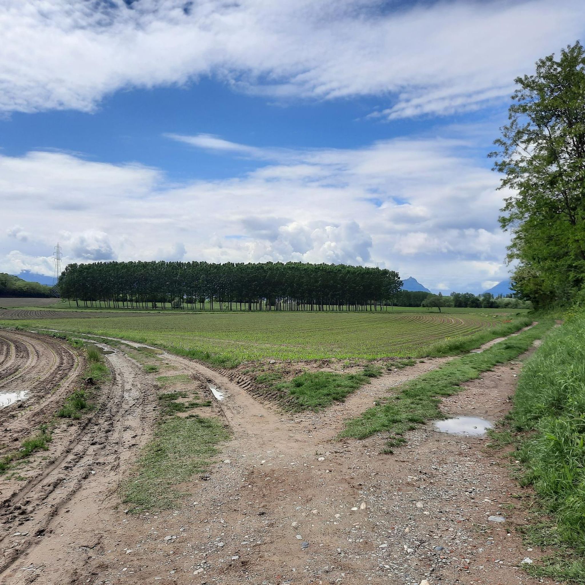
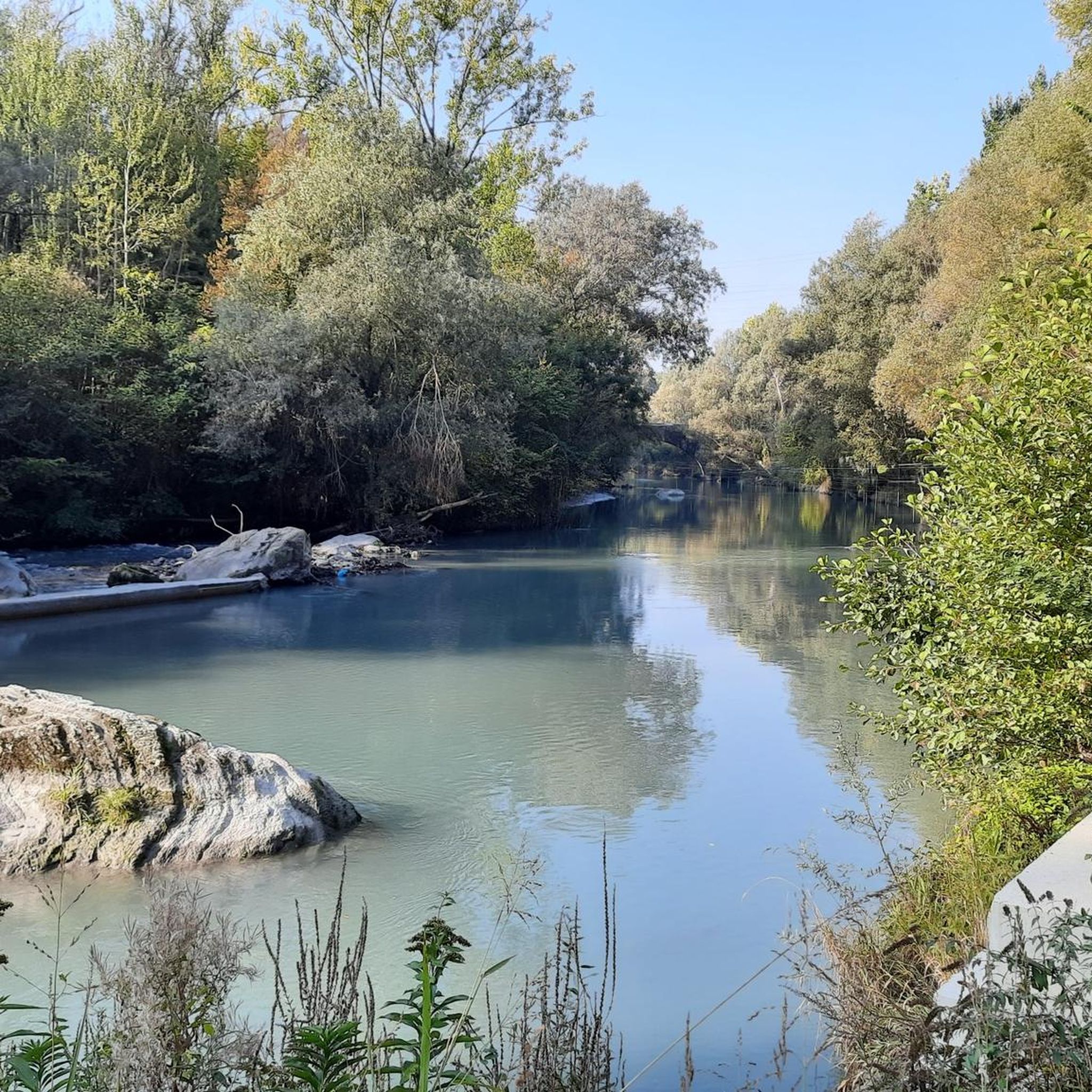
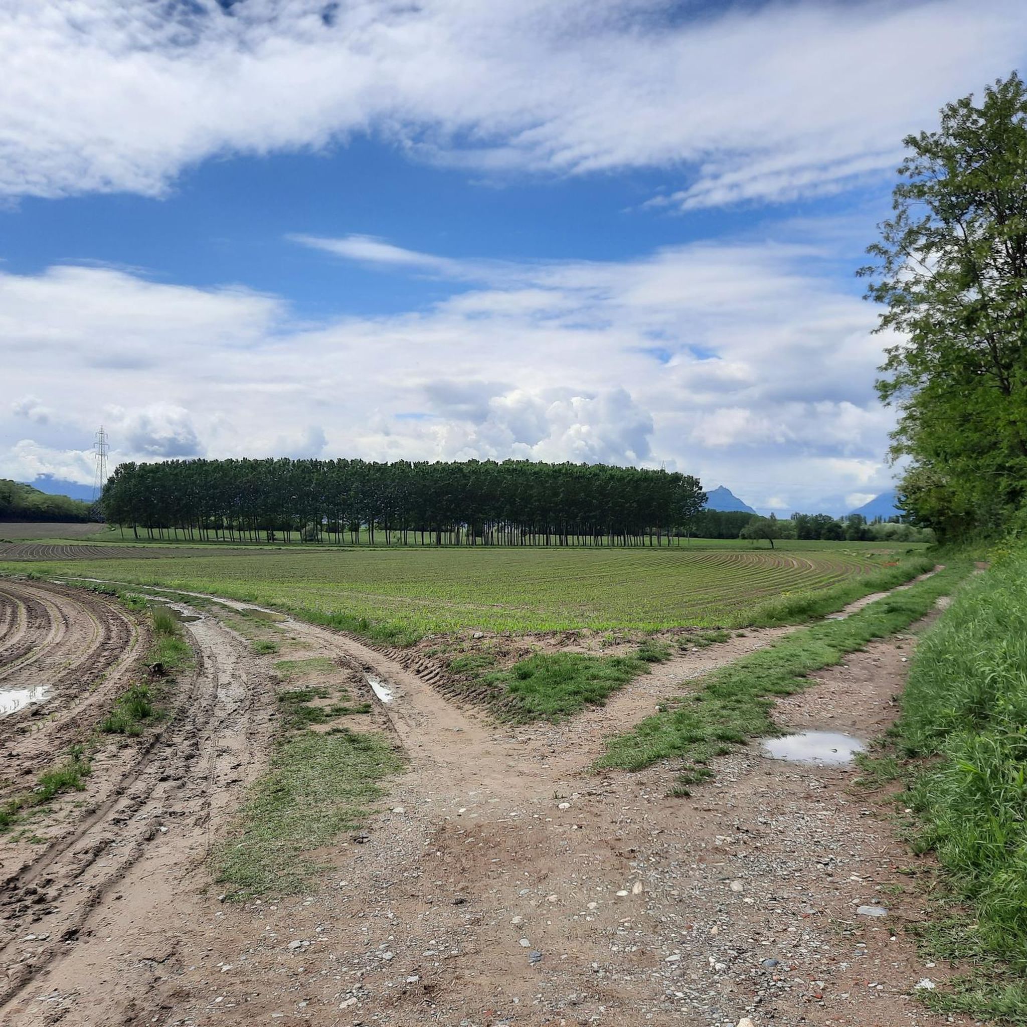
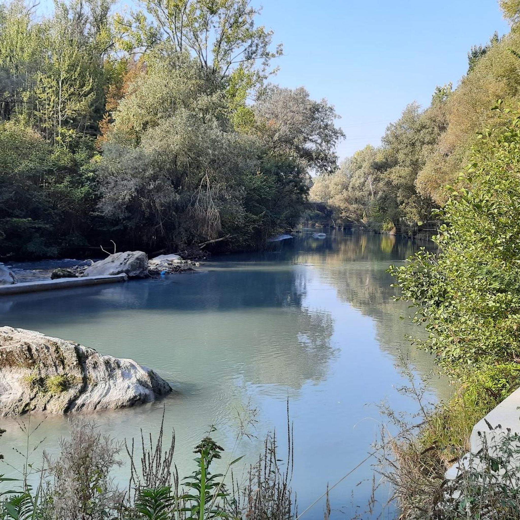
Hiking around Alpignano offers access to varied terrain within Italy's Piedmont region, situated in the Val di Susa plain. The area features the Dora Riparia river, providing riparian environments and riverside paths. To the north, the Ghiaro Forest offers woodland trails, while the nearby Monte Musinè presents more challenging mountain routes. The landscape also includes morainic hills, remnants of ancient glaciation, contributing to diverse natural scenery.
Best hiking trails around Alpignano
- The most popular hiking route is Forest trail from…
Last updated: September 27, 2026
15.7km
04:13
190m
190m
Moderate hike. Good fitness required. Easily-accessible paths. Suitable for all skill levels.
4.0
(2)
28
hikers
Moderate hike. Good fitness required. Easily-accessible paths. Suitable for all skill levels.

3.5
(4)
16
hikers
6.47km
01:42
60m
50m
Easy hike. Great for any fitness level. Easily-accessible paths. Suitable for all skill levels.
10
hikers
Easy hike. Great for any fitness level. Easily-accessible paths. Suitable for all skill levels.
4.5
(10)
45
hikers
18.9km
05:13
330m
330m
Hard hike. Very good fitness required. Mostly accessible paths. Sure-footedness required.
Get access to more routes and recommendations from other explorers.
Already have an account?
Our route recommendations are based on thousands of hikes, rides, and runs completed by other people on komoot.
Start today with a free account
Your next adventure awaits.

Tips from the Community

Beautiful views and very special animals
0
0

route suitable for everyone
1
0
White road that is part of the "Via Francigena"
1
0

Ideal for avoiding the main road from Alpignano to Caselette
1
0
Crossing the Dora towards Bruere
1
0
The cycle path under the bridge has finally been reopened
0
0

walk on a dirt road, in some places cemented, that starts from the CAYS square in Casellette along the SW side of Musinè. Ideal for a light walk or bike ride with the possibility of returning entirely on asphalt perhaps passing by the remains of the ancient Roman Villa by path/roads, routes always deducible from the Komoot map....
0
0

the new bridge of Alpignano, underneath passes a single track to exit the town towards the countryside
0
0
Frequently Asked Questions
How many hiking trails are available around Alpignano?
There are over 30 hiking routes available around Alpignano, catering to various skill levels. You'll find a good mix of easy, moderate, and some more challenging trails to explore.
Are there easy hiking options suitable for beginners or families in Alpignano?
Yes, Alpignano offers several easy trails perfect for beginners or families. For a gentle walk around a small lake, consider the Laghetto Fontanej loop from Alpignano. Another accessible option is the Dora Riparia Waterfall – Bridge over the Dora loop from Pianezza, which is also rated as easy.
What kind of terrain can I expect on hikes near Alpignano?
The terrain around Alpignano is quite varied. You can expect tranquil riverside paths along the Dora Riparia, woodland trails within the Ghiaro Forest, and more challenging mountain routes in the Alpine foothills, particularly around Monte Musinè. The landscape also features morainic hills, offering diverse natural scenery.
Are there any circular hiking routes in the Alpignano area?
Yes, many routes around Alpignano are circular. For instance, the Road along the Dora Riparia – Alpignano Bridge loop from Alpignano offers a scenic riverside circuit. The Laghetto Fontanej loop from Alpignano is another popular circular option.
Can I bring my dog on the hiking trails around Alpignano?
Most hiking trails in the Alpignano area are dog-friendly, allowing you to enjoy the natural beauty with your canine companion. However, it's always advisable to keep your dog on a leash, especially in more populated areas or near wildlife, and to check for any specific local regulations.
What are some notable natural features or attractions I can see while hiking?
While hiking, you can explore the serene riparian environments along the Dora Riparia river, discover the ancient woodlands of the Ghiaro Forest, and ascend Monte Musinè for panoramic views. You might also encounter the Pessina Pond or the larger Small Lake of Avigliana, which are popular highlights in the region.
What is the best time of year to go hiking in Alpignano?
Alpignano offers hiking opportunities throughout much of the year. Spring and autumn provide pleasant temperatures and vibrant scenery, ideal for most trails. Summer is great for higher altitude routes or early morning/late afternoon walks along the river. Even winter can be suitable for lower-elevation paths, though some higher trails might require appropriate gear for snow or ice.
Are there opportunities for more challenging hikes with significant elevation gain?
Yes, for those seeking a challenge, the proximity to Monte Musinè provides routes with more significant elevation gain. While specific challenging routes are not detailed here, Monte Musinè itself offers trails that can climb over 700 meters, providing a more strenuous workout and rewarding views.
Where can I find trails that offer panoramic views?
For panoramic views, focus on trails that ascend Monte Musinè. This mountain, despite its moderate altitude, is known for offering expansive vistas of the Val di Susa plain and the surrounding Piedmontese countryside. The higher sections of these trails will provide the best viewpoints.
How accessible are the hiking trails around Alpignano by public transport?
Alpignano's location in the Metropolitan City of Turin means it's generally well-connected. Many trailheads are accessible from the town center, which can be reached by public transport from Turin, making it convenient for both locals and visitors to access the hiking routes.
Are there any specific woodland areas worth exploring?
Absolutely. The Ghiaro Forest (Bosco del Ghiaro), located upstream of Alpignano on the right bank of the Dora Riparia, is a significant woodland area. It features tall, broad-leaved trees and offers unpaved roads and secondary trails, providing a natural and immersive forest hiking experience.
What do other hikers say about the trails in Alpignano?
The hiking routes in Alpignano are highly rated by the komoot community, with an average score of 4.5 stars from over 1,300 reviews. Hikers often praise the varied terrain, from peaceful riverside paths to engaging woodland trails, and the accessibility of routes for different fitness levels.
Are there any trails that feature waterfalls?
Yes, you can find trails that lead to or feature waterfalls along the Dora Riparia. For example, the Dora Riparia Waterfall – Bridge over the Dora loop from Pianezza and the Dora Riparia Waterfall loop from Villaggio Dora both highlight this natural feature, offering scenic spots along the river.
Most popular routes around Alpignano
Most popular attractions around Alpignano

Get inspired with the komoot mobile app


Explore more
Browse the best Hikes in other regions.
