The best walks and hikes around Ingria
4.4
(1318)
6,426
hikers
224
hikes
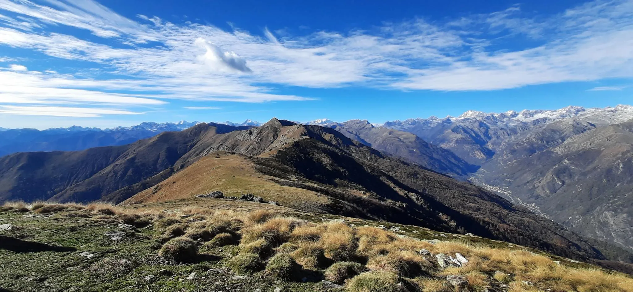
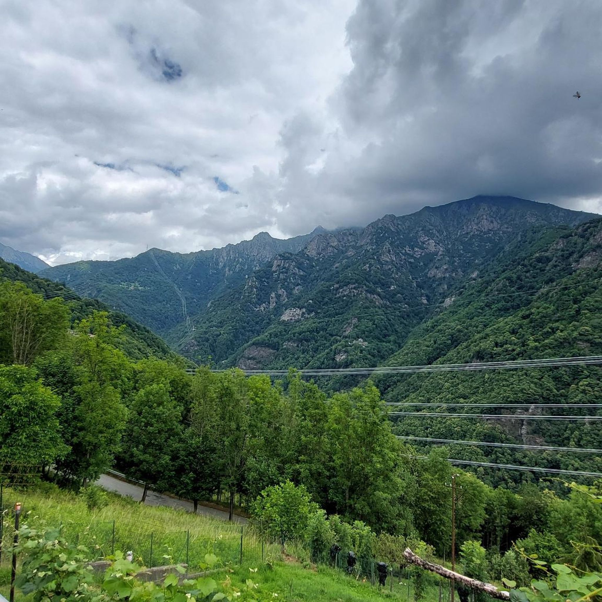
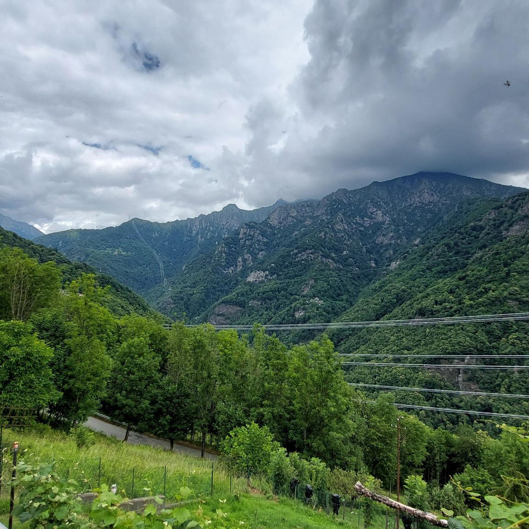
Hiking around Ingria, located in Italy's Piedmont region, offers access to diverse alpine landscapes. The area is characterized by panoramic mountain views, high-altitude pastures, and deep valleys such as the Soana and Orco. Trails traverse varied terrain, including forest paths, meadows, and sections of gravel road. This region provides a gateway to the Italian Alps, including parts of Gran Paradiso National Park.
Best hiking trails around Ingria
- The most popular hiking route is Punta d'Arbella Trail from Campidaglio, a…
Last updated: October 4, 2026
4.6
(7)
69
hikers
11.3km
06:30
1,210m
1,210m
Challenging 7.0-mile alpine hike to Bivacco Beltrando via Trail 603, featuring equipped sections and panoramic Italian Alps views.
5.0
(2)
6
hikers
12.8km
06:25
1,200m
1,200m
Hike the challenging Grande Traversata delle Alpi from Ronco Canavese to Talosio, covering 7.9 miles with 3933 feet of gain.

1
hikers
15.3km
06:11
980m
980m
Historic pilgrimage trail linking sacred chapels and ancient hamlets through Piedmont's Soana Valley.
11
hikers
13.9km
07:45
1,220m
1,220m
Hard hike. Very good fitness required. Sure-footedness, sturdy shoes and alpine experience required.
8
hikers
17.8km
09:40
1,600m
1,590m
Hard hike. Very good fitness required. Sure-footedness, sturdy shoes and alpine experience required.
Get access to more routes and recommendations from other explorers.
Already have an account?
Our route recommendations are based on thousands of hikes, rides, and runs completed by other people on komoot.
Start today with a free account
Your next adventure awaits.
Other adventures around Ingria

Tips from the Community

Croce Quinzeina, built and brought by the people of Frassineto August 1963
1
0

plateau at the crossroads of the paths from Betassa, Colle Crest and Punta Liot
0
0

It is commonly reached from Pian delle Nere passing from Rifugio Fornetto, with very steep sections of climb (especially at the end), but in the absence of snow and ice and to be considered difficulty E. The sessions from up there are beautiful, from the mountains of the Val d 'Aosta to that of the Cuneo area where Monviso stands out, and then the Canavese plain with the Superga basilica and the Turin hill. I also mention the nearby Quinzeina peaks (north and south) and Punta Rama with its bivouac at the top, clearly visible on clear days
0
0

Beautiful bivouac on the Punta Rama with 8 comfortable beds
1
0

An initially light hike up to the quarry, later challenging to the refuge, and something more for the summit. But once at the top, the desire to get to the Punta Rama bivouac or to Quinsenia is really great
1
0

Ometto trail sign that indicates uphill the junction for Quinzeina Nord, descending goes to Frassinetto and on the left points to Alpe Quinzeina allowing you to rejoin the Alta Via Canavesana at Colletto Tre Denti altitude 1701 (collar with stone cairn and signpost)
0
0
From here you can continue to Punta Verzel and Rifugio/bivacco Fornetto by staying on the Alta Via Canavesana (ATC 🔴⚪️🔴)
1
0
Frequently Asked Questions
How many hiking trails are available around Ingria?
Ingria, located in Italy's Piedmont region, offers a wide selection of hiking opportunities with nearly 200 trails. These routes cater to various skill levels, including 19 easy, 97 moderate, and 78 difficult options, ensuring there's a suitable path for every hiker.
What kind of terrain can I expect on hikes in Ingria?
The hiking trails around Ingria feature diverse terrain, ranging from gravel roads and asphalted sections to forest and meadow paths. You'll encounter stunning alpine views, high-altitude mountain pastures, and paths through deep valleys like the Soana and Orco, characteristic of the Italian Alps.
Are there any challenging alpine hikes in the Ingria area?
Yes, Ingria is known for its challenging alpine hikes. For instance, the Trail to Punta Rama and Bivacco Beltrando is a difficult 7.0-mile (11.3 km) alpine hike featuring equipped sections and panoramic views of the Italian Alps. Another demanding option is the Punta Verzel Summit Trail from Berchiotto, which covers nearly 10 km with significant elevation gain.
Can I find long-distance hiking routes that pass through Ingria?
Yes, Ingria is part of the renowned Grande Traversata delle Alpi (GTA), a challenging long-distance trail spanning over 1,000 kilometers across the Piedmontese Alps. A section of this trail, the GTA from Ronco Canavese to Talosio, covers 7.9 miles (12.8 km) with substantial elevation gain, offering a rewarding experience.
What do other hikers say about the trails in Ingria?
The hiking trails in Ingria are highly regarded by the komoot community, holding an average rating of 4.3 stars from over 1000 reviews. Hikers frequently praise the stunning mountain scenery, the peace of the untouched mountains, and the varied routes with magnificent views.
Are there any huts or bivouacs available for overnight stays along the trails?
Yes, the Ingria area offers several huts and bivouacs for hikers. Notable options include Rifugio Cima Bossola, Bivacco Alpe Bellono, and Rifugio Bruno Piazza. These provide opportunities for multi-day treks or rest stops during longer excursions.
Are there any lakes or water features to see while hiking in Ingria?
Yes, the region around Ingria features several beautiful alpine lakes. You can explore areas near Lago Vercoche, Lake Santanel, and Lake La Reale, which often provide picturesque settings and opportunities for scenic breaks during your hike.
What is the best season for hiking in Ingria?
The best season for hiking in Ingria, given its alpine environment, is typically from late spring through early autumn (May to October). During these months, the weather is generally more stable, and trails are free of snow, allowing access to higher elevations and mountain pastures. Always check local weather conditions before heading out.
Are there any family-friendly hiking options around Ingria?
While many trails in Ingria involve significant elevation, there are routes suitable for families, particularly those with moderate daily stages. Look for trails that traverse forest and meadow paths, which tend to be less strenuous. Always check the difficulty grade and elevation profile of a specific route to ensure it matches your family's capabilities.
Can I bring my dog on the hiking trails in Ingria?
Many trails in the Piedmont region are dog-friendly, but regulations can vary, especially within protected areas like Gran Paradiso National Park. It's advisable to keep dogs on a leash and ensure they are well-behaved. Always check specific park or trail regulations regarding pets before your visit.
Are there opportunities to see wildlife in Ingria's natural parks?
Yes, Ingria is close to significant natural parks like Gran Paradiso National Park. These parks are renowned for their rich biodiversity, offering excellent opportunities to spot alpine wildlife such as ibexes and chamois, especially on trails through higher alpine lakes and glaciers.
What kind of views can I expect on the trails around Ingria?
Hikers in Ingria can expect breathtaking panoramic views of the Italian Alps. Trails often lead through mountain pastures like Alpe di Pian Russa, offering spectacular vistas of the Soana and Orco valleys and major peaks of Piedmont and Aosta Valley. The region is characterized by its untouched mountain landscapes.
Most popular attractions around Ingria

Get inspired with the komoot mobile app


Explore more
Browse the best Hikes in other regions.
