The best road cycling routes around Bardonecchia
4.6
(239)
13,014
riders
54
rides
Road cycling around Bardonecchia is characterized by its location in the upper Susa Valley of the Italian Alps, offering a diverse landscape for cyclists. The region features well-paved roads that ascend through coniferous forests and past high mountain peaks, with some segments following ancient military routes. Cyclists encounter varied terrain, including challenging mountain passes that connect Italy and France, providing significant elevation gains. The area is surrounded by mountains exceeding 3,500 meters, contributing to the alpine scenery.
Best road cycling routes around Bardonecchia
- The most popular road cycling route is Clarée Valley – Route Toward Col de l'Échelle loop from Bardonecchia, a 35.7 miles (57.4 km) trail that takes 3 hours 2 minutes to complete. This route features challenging climbs towards the Col de l'Échelle.
- Another top favourite among local road cyclists is Paradise Walk – Col de l'Échelle loop from Roubion, a moderate 19.6 miles (31.5 km) path. This route offers scenic views as it loops towards the Col de l'Échelle.
- Local road cyclists also love the Névache – Tur d'Amun loop from Beaulard, a 30.7 miles (49.4 km) trail leading through alpine valleys, often completed in about 2 hours 46 minutes.
- Road cycling around Bardonecchia is defined by high mountain passes, alpine valleys, and ancient military roads. The network offers options for various ability levels, from moderate rides to difficult climbs.
- The routes in Bardonecchia are highly rated by the komoot community with an average score of 4.5 stars from over 190 reviews. More than 8,900 road cyclists have used komoot to explore Bardonecchia's varied terrain.
Last updated: August 11, 2026
4.2
(16)
604
riders
30.7km
01:21
280m
280m
Easy road ride. Great for any fitness level. Mostly well-paved surfaces and easy to ride.
4.8
(5)
531
riders
96.5km
05:39
2,340m
2,340m
Hard road ride. Very good fitness required. Some segments of this route may be unpaved and difficult to ride.

Sign up for free
5.0
(6)
270
riders
53.5km
02:54
1,050m
1,050m
Hard road ride. Very good fitness required. Some segments of this route may be unpaved and difficult to ride.
4.0
(2)
60
riders
37.2km
02:10
910m
910m
Hard road ride. Very good fitness required. Mostly well-paved surfaces and easy to ride.
5.0
(3)
67
riders
19.3km
01:06
440m
440m
Moderate road ride. Good fitness required. Mostly well-paved surfaces and easy to ride.
Get access to more routes and recommendations from other explorers.
Sign up for free
Already have an account?
Our route recommendations are based on thousands of hikes, rides, and runs completed by other people on komoot.
Start today with a free account
Your next adventure awaits.
Login or Signup
Popular around Bardonecchia
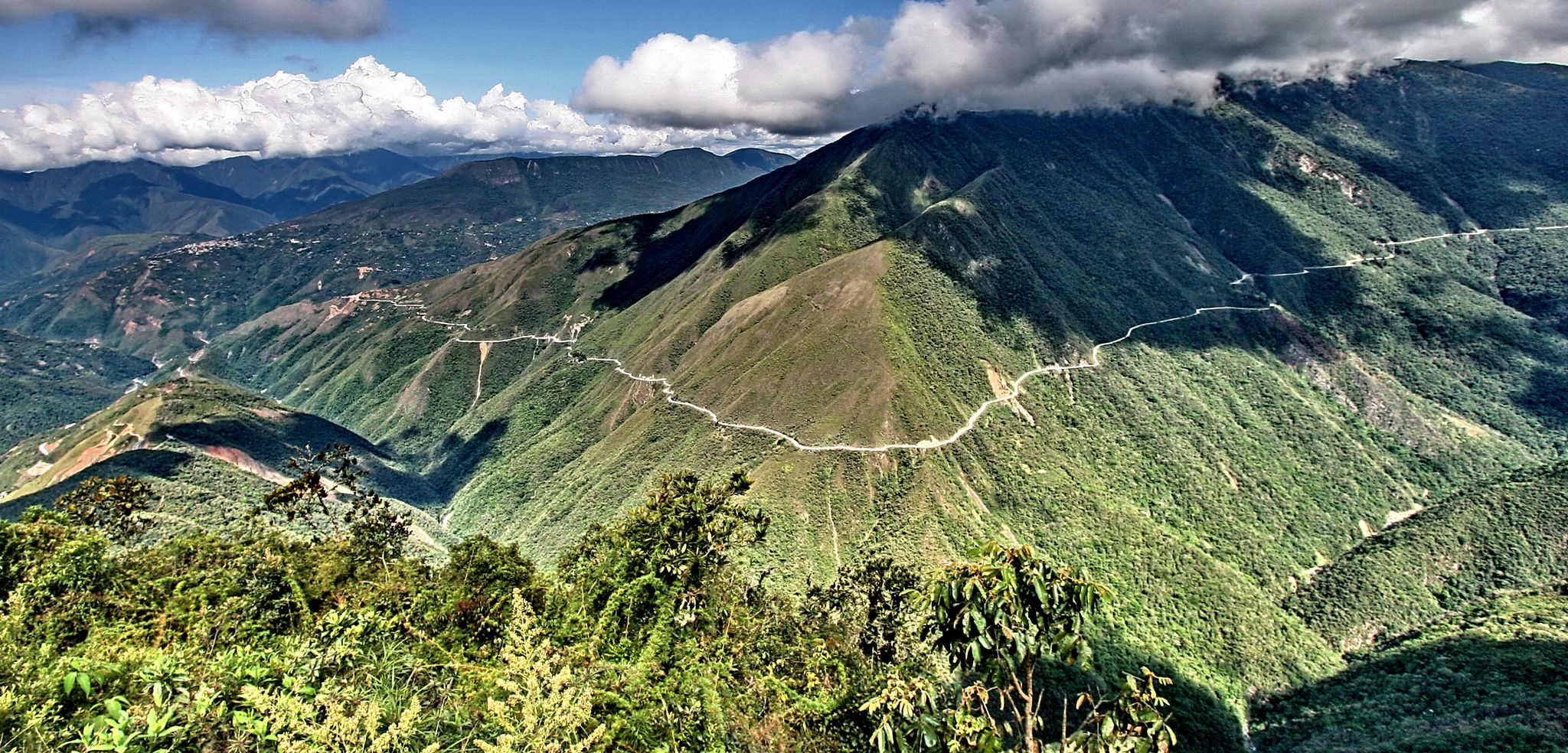
The world's most adventurous cycling passes
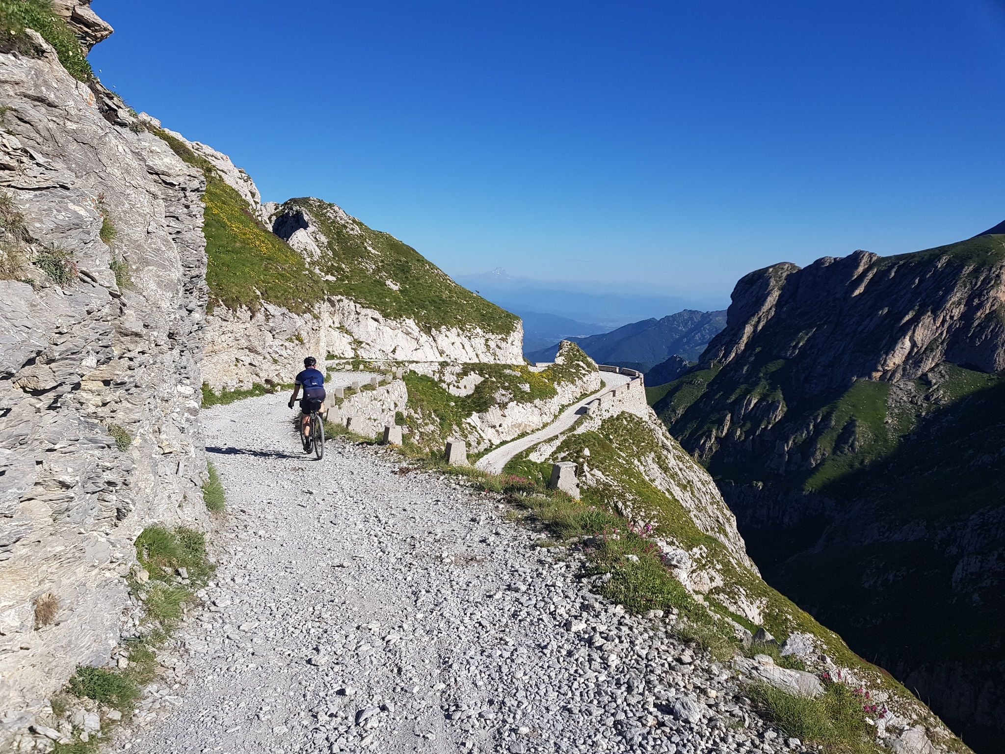
Mediterranean passes and gentle hills — cycling in Piedmont
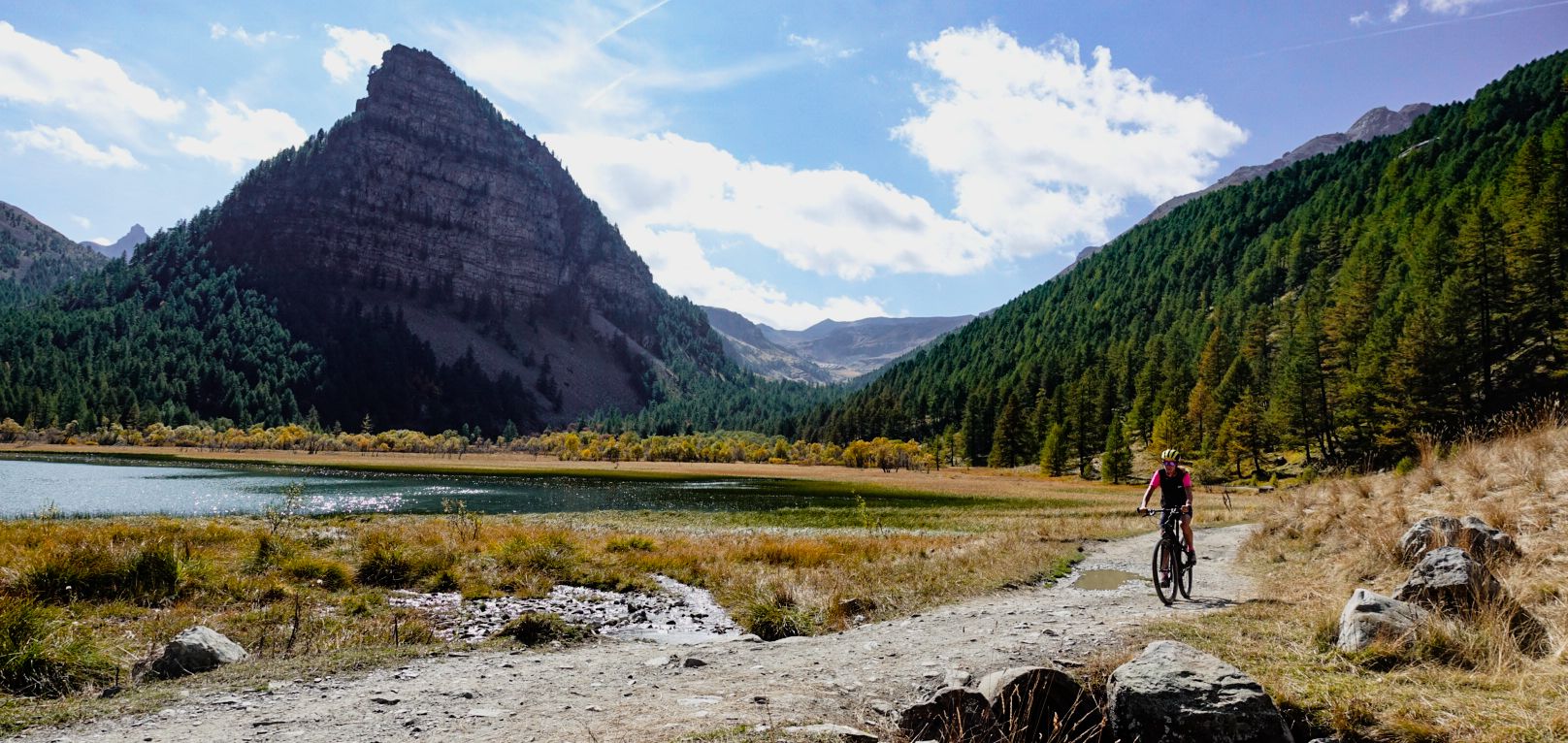
Military roads, forts and tunnels – gravel in the Southern Alps
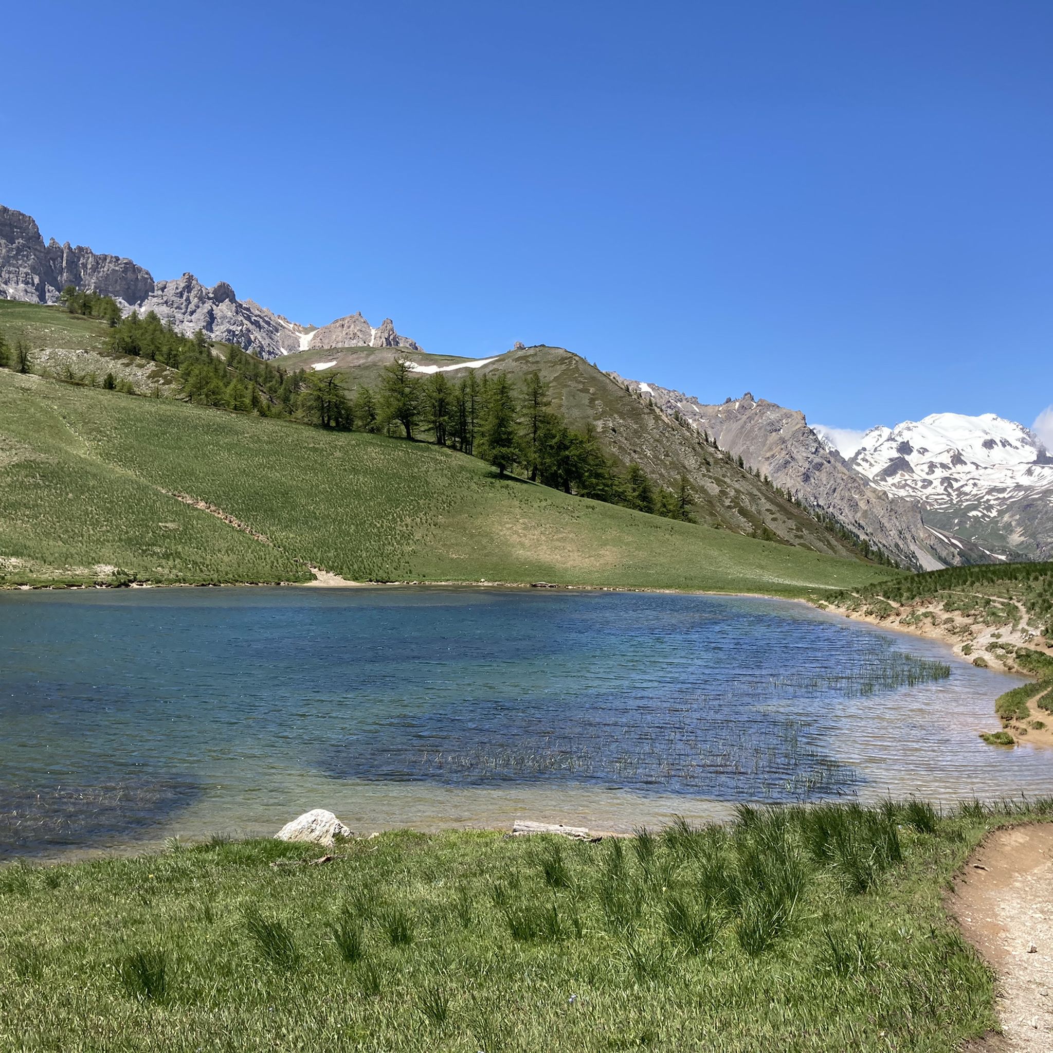
Hiking around Bardonecchia
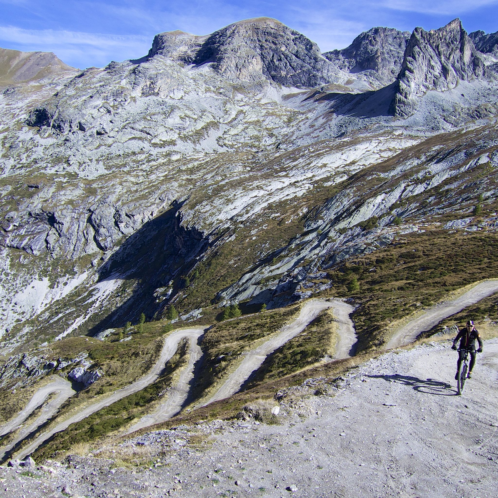
MTB Trails around Bardonecchia
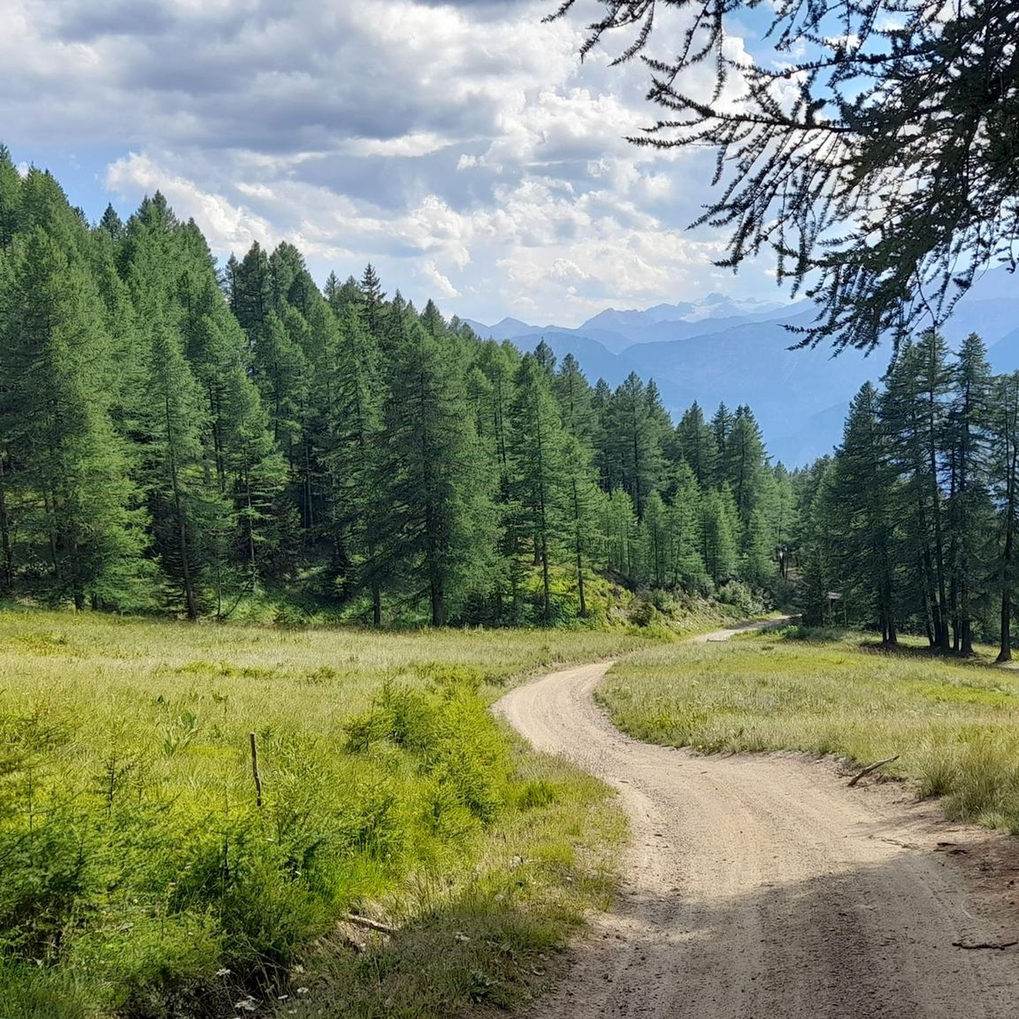
Cycling around Bardonecchia
Running Trails around Bardonecchia

Gravel biking around Bardonecchia

Mountain Hikes around Bardonecchia
Other adventures around Bardonecchia


Tips from the Community

La Vallée de la Clarée is one of the most beautiful and unspoiled alpine valleys in France, located in the Hautes-Alpes, on the border with Italy, between Briançon and Montgenèvre. It is a glacial valley about 33 km long, crossed by the Clarée river and protected as a natural site of great landscape value.
6
0


A very charming mountain village in the expansive natural surroundings of the upper Vallee Claree
0
0

A climb of moderate but not trivial difficulty; the landscape is stunning.
1
0
For a tasty break.
14
0
This church is an art history lesson in itself, rich in works and artistic styles.
7
0
Beautiful village in the Clarée valley.
15
0
Medium-length climb with a regular gradient.
18
0
Frequently Asked Questions
How many road cycling routes are available around Bardonecchia?
There are over 50 road cycling routes around Bardonecchia, catering to various skill levels. The komoot community has explored more than 8,900 of these routes, highlighting the area's popularity among cyclists.
What kind of terrain can I expect on road cycling routes in Bardonecchia?
Road cycling in Bardonecchia offers diverse terrain, from well-paved roads ascending through coniferous forests to challenging mountain passes. You'll encounter significant elevation gains, especially on routes that cross into France, and some segments may follow ancient military roads, providing a unique cycling experience.
Are there routes suitable for beginners or less experienced road cyclists?
Yes, while Bardonecchia is known for its challenging climbs, there are routes suitable for less experienced cyclists. Out of the over 50 routes, 4 are classified as easy and 31 as moderate, offering options for those looking for less demanding rides. For example, the Paradise Walk – Col de l'Échelle loop from Roubion is a moderate 31.5 km path with scenic views.
What are some challenging road cycling climbs in the Bardonecchia area?
Bardonecchia is a gateway to iconic and challenging mountain passes. Cyclists can tackle climbs like the Col de l'Échelle, Col du Mont Cenis, Col du Galibier, Col de la Croix de Fer, and Col de l'Iseran. These routes offer substantial elevation gains and breathtaking alpine views. A notable challenging route is the Clarée Valley – Route Toward Col de l'Échelle loop from Bardonecchia, which features demanding ascents towards the Col de l'Échelle.
Are there any scenic viewpoints or natural features to look out for on the routes?
Absolutely. The region is rich in natural beauty. You can find picturesque alpine scenery with peaks exceeding 3,500 meters, coniferous forests, and stunning valleys. Highlights include the emerald green Granges of the Narrow Valley, the serene Green Lake, and the dramatic Frejus Falls. The Gran Bosco Nature Park also offers diverse flora and fauna.
Can I find loop routes for road cycling in Bardonecchia?
Yes, many road cycling routes in Bardonecchia are designed as loops, allowing you to start and end in the same location. Examples include the Clarée Valley – Route Toward Col de l'Échelle loop from Bardonecchia, the Paradise Walk – Col de l'Échelle loop from Roubion, and the Névache – Tur d'Amun loop from Beaulard.
What is the best time of year for road cycling in Bardonecchia?
The best time for road cycling in Bardonecchia is typically during the warmer months, from late spring to early autumn. During this period, mountain passes are generally clear of snow, and the weather is more favorable for long rides. Summer offers pleasant temperatures and lush landscapes, making it ideal for exploring the alpine routes.
Are there any historical sites or landmarks accessible by road bike?
Yes, Bardonecchia's region is steeped in history. You can cycle along ancient military roads, such as the high route connecting Forts Foens and Pramand, which includes passage through the spectacular Galleria dei Saraceni. Notable historical sites include the impressive Mont Chaberton Fort, once the highest fort in the world, and Tur d'Amun.
What do other cyclists say about road cycling in Bardonecchia?
The road cycling routes in Bardonecchia are highly rated by the komoot community, with an average score of 4.5 stars from over 190 reviews. Cyclists frequently praise the stunning alpine scenery, the variety of challenging climbs, and the well-maintained roads that lead through picturesque valleys and mountain passes.
Are there any routes that offer a mix of terrain, including unpaved sections?
While most road cycling routes around Bardonecchia feature well-paved surfaces, some segments, particularly those along ancient military roads, might include unpaved sections. These can add an extra layer of challenge and adventure for cyclists looking to explore the region's historical traces.
Can I find routes that connect Italy and France?
Yes, Bardonecchia's strategic location near the French border means many routes lead to iconic mountain passes that connect Italy and France. These international routes offer significant elevation gains and the unique experience of cycling between two countries, such as those leading to the Col de l'Échelle.
What is the elevation gain like on road cycling routes in Bardonecchia?
Road cycling routes in Bardonecchia are characterized by significant elevation gains, especially on mountain pass ascents. For instance, the Clarée Valley – Route Toward Col de l'Échelle loop from Bardonecchia involves over 1,100 meters of climbing, while the Bardonecchia – Paradise Walk loop from Beaulard has an elevation gain of over 930 meters.
Most popular routes around Bardonecchia
Most popular attractions around Bardonecchia

Get inspired with the komoot mobile app


Explore more
Browse the best Road cycling routes in other regions.
