The best walks and hikes around Givoletto
4.5
(246)
1,296
hikers
29
hikes
Hiking trails around Givoletto traverse a diverse landscape in the Piedmont region of Italy, characterized by mountainous terrain and varied ecosystems. The area features prominent peaks such as Monte Lera, Monte Baron, and Punta Fournà, offering extensive panoramic views over the surrounding plains. Trails often lead through fields and woods at lower elevations, transitioning to heathland and open ridgelines at higher altitudes. The Monte Lera natural reserve protects unique flora within this varied environment.
Best hiking trails around Givoletto
- The…
Last updated: May 26, 2026
4.3
(24)
83
hikers
13.8km
05:14
930m
930m
Hard hike. Very good fitness required. Mostly accessible paths. Sure-footedness required.
4.4
(25)
89
hikers
10.7km
04:31
790m
790m
Moderate hike. Good fitness required. Mostly accessible paths. Sure-footedness required.

Sign up for free
5.81km
01:47
210m
210m
Easy hike. Great for any fitness level. Easily-accessible paths. Suitable for all skill levels.
4.4
(20)
87
hikers
9.19km
04:14
810m
810m
Hard hike. Good fitness required. Sure-footedness, sturdy shoes and alpine experience required.
4.3
(19)
44
hikers
8.00km
02:46
410m
410m
Moderate hike. Good fitness required. Easily-accessible paths. Suitable for all skill levels.
Get access to more routes and recommendations from other explorers.
Sign up for free
Already have an account?
Our route recommendations are based on thousands of hikes, rides, and runs completed by other people on komoot.
Start today with a free account
Your next adventure awaits.
Login or Signup
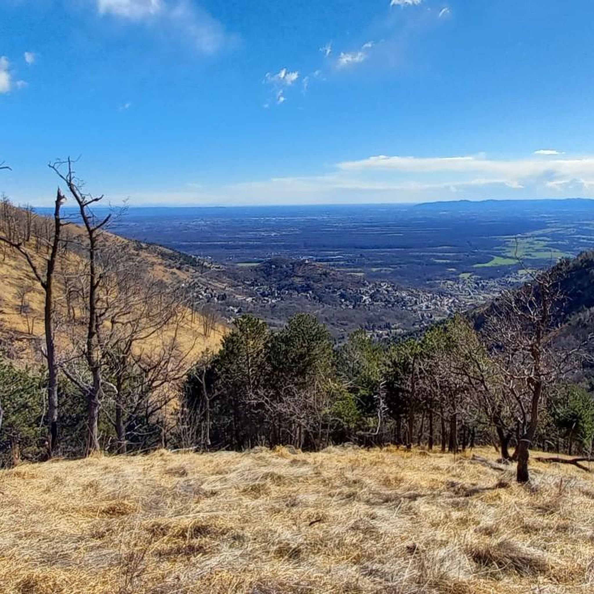
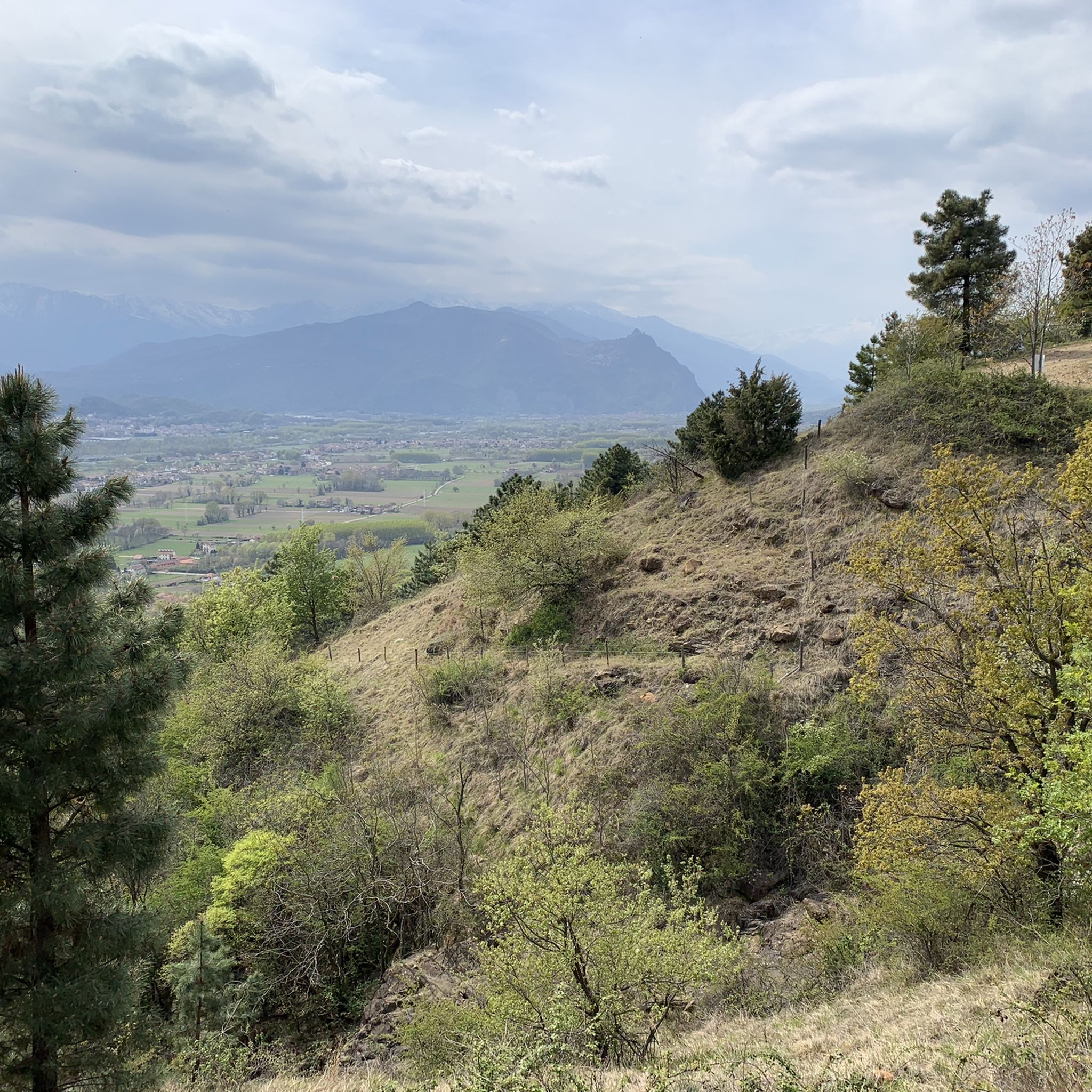

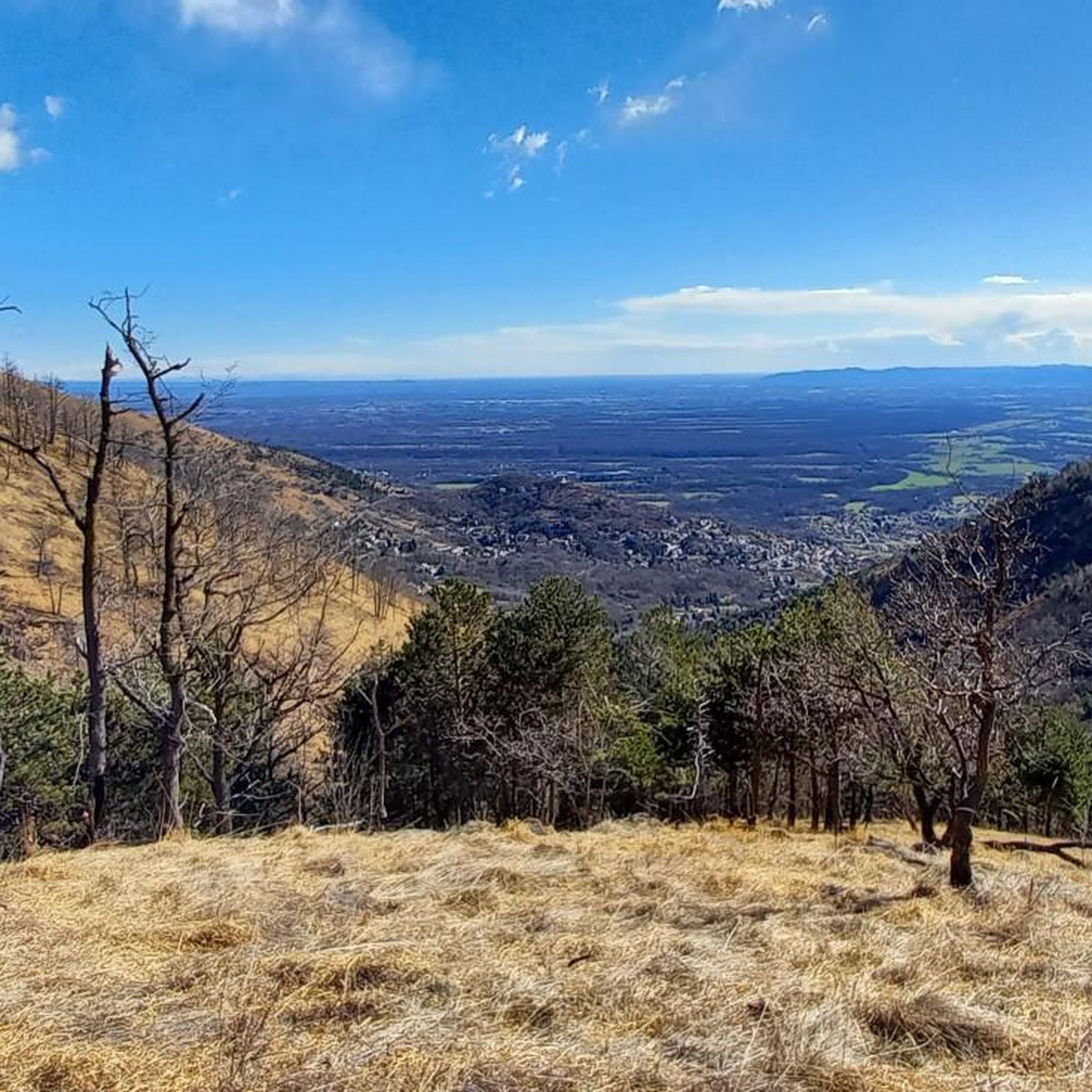
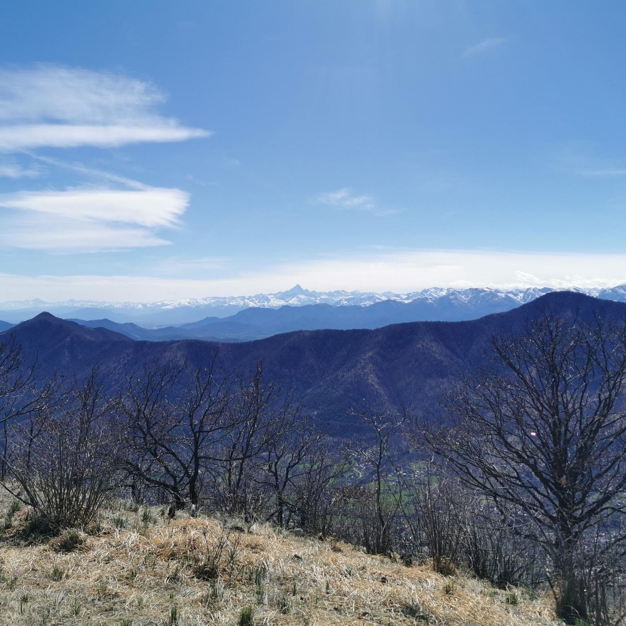
Tips from the Community

Done from Val della Torre towards Givoletto, not suitable for gravel for the less experienced, presence of stones and many leaves that hide the ground.
0
0

Last stretch, steep scree, to be done by pushing
0
0

Along the single track that connects Valdellatorre to Givoletto through the woods, rather isolated
1
0

Easy summit to reach from Givoletto or Val della Torre. It allows you to enjoy an excellent view of the Turin plain and has a summit diary
3
0

It is used occasionally by motorcyclists who train. Passing behind, not immediately visible and not marked, the very steep path to Punta Fournà begins, which subsequently allows us to reach the panoramic chapel Madonna della Neve
0
0

Panoramic point very quick to reach. Take the path behind the Trail Park.
0
0
Crossroads for alternative path to reach Mount Baron. The path is much steeper than the normal route, allowing you to save a bit if you want to climb Monte Rosselli. The trail is not marked with White/Red symbols but is well traced and has a very wide and deep track. Once you reach the ridge on the left you go to Monte Baron and on the right you can continue to Monte Rosselli
1
0

Built as a place to stay in the greenery, in the hamlet of Borgonuovo a Givoletto, at the time completely covered in woods in the last decade of the 1800s at the behest of Mrs. Barberis, a Genoese noblewoman and esteemed benefactor, for years it was also used as a library of the municipality of Givoletto. Renovated and divided into apartments, it has now recovered its intended residential use.
1
0
Frequently Asked Questions
How many hiking trails are available around Givoletto?
Givoletto offers a diverse network of nearly 30 hiking trails. These routes cater to various skill levels, with 10 easy, 14 moderate, and 5 difficult options available.
What kind of terrain can I expect on hikes in Givoletto?
Hiking in Givoletto features varied terrain, from flat fields and woods at lower elevations to heathland and open ridgelines at higher altitudes. You'll find trails traversing diverse ecosystems, including sections that bear traces of past fires, adding a unique character to the landscape.
Are there any family-friendly hiking options in Givoletto?
Yes, Givoletto has 10 easy hiking trails suitable for families. These routes often wind through fields and woods in the lower sections, providing a gentle introduction to the area's natural beauty. An example is the Forvilla to Givoletto trail (via Route 005A), which is 3.6 miles long and typically takes less than two hours.
What are the best trails for panoramic views in Givoletto?
Givoletto is known for its stunning panoramic views. Many trails lead to high points offering expansive vistas over the surrounding plains. The Punta Fournà, Monte Rosselli and Monte Baron — Ring tour is a challenging route specifically noted for its extensive panoramic views from multiple peaks. The ascent to Punta Fournà also involves climbing along a ridge with scenic overlooks.
Are there any circular hiking routes in the Givoletto area?
Yes, Givoletto offers several circular hiking routes. For a moderate option, consider the Monte Baron and Monte Rosselli Loop, which covers 6.7 miles through varied terrain. Another moderate choice is the Monte Baron Summit – St. Valerian's Chapel loop from Turin.
What natural attractions can I find along the hiking trails?
The Monte Lera natural reserve is a significant feature, protecting unique flora like the rare *Euphorbia gibelliana*. Hikers can also visit the small, panoramic Chapel of Our Lady of the Snow (Madonna della Neve) at 1250 meters, which offers extensive views. The Chapel of Madonna della Neve – Punta Mi Fournà loop from Turin is a challenging route that includes this attraction.
Are there any interesting landmarks or points of interest near the trails?
Beyond the natural beauty, you can find several points of interest. The Lys Pass and Colle della Portia Hut are notable. For scenic viewpoints, consider visiting Pian Mufi - mt 1015. The Torre di Borgonuovo, though now renovated, also stands as a cultural point of interest in the area.
What do other hikers say about the trails in Givoletto?
The hiking routes in Givoletto are highly rated by the komoot community, with an average score of 4.5 stars from over 200 reviews. More than 1,200 hikers have used komoot to explore Givoletto's varied terrain, often praising the diverse landscapes and extensive panoramic views.
What is the best time of year to go hiking in Givoletto?
Givoletto offers enjoyable hiking experiences throughout the year. Trails leading to the Madonna della Neve, for instance, are particularly pleasant in colder seasons due to their south-facing exposure. The diverse ecosystems mean that spring and autumn offer vibrant colors, while summer provides lush greenery.
Are there options for more challenging hikes in Givoletto?
Yes, Givoletto has 5 difficult trails for experienced hikers. These routes often involve significant elevation gain and cover longer distances, rewarding hikers with extensive views from mountain peaks. The Punta Fournà, Monte Rosselli and Monte Baron — Ring tour is a prime example of a challenging route.
Is there parking available at the trailheads in Givoletto?
While specific parking details for each trailhead are not provided, Givoletto is a well-established hiking destination, and parking is generally available near popular starting points for trails. It's advisable to check local signage or specific route descriptions for precise parking information.
Most popular routes around Givoletto
Most popular attractions around Givoletto

Get inspired with the komoot mobile app


Explore more
Browse the best Hikes in other regions.
