The best walks and hikes around Waischenfeld
4.6
(4834)
16,987
hikers
304
hikes
Hiking around Waischenfeld offers routes through the scenic Wiesent Valley, characterized by its distinctive limestone rock formations, dense forests, and meandering rivers. The region features a varied topography with gentle hills and deeper valleys, providing diverse hiking experiences. Many trails follow river courses or ascend to viewpoints overlooking the landscape.
Best hiking trails around Waischenfeld
- The most popular hiking route is Waischenfeld town center – Sophien Cave loop from Waischenfeld, a 6.5 miles (10.4 km) trail that takes 2…
Last updated: October 7, 2026
4.7
(312)
1,020
hikers
10.4km
02:55
200m
200m
Moderate hike. Good fitness required. Easily-accessible paths. Suitable for all skill levels.
4.6
(138)
497
hikers
9.79km
02:49
230m
230m
Moderate hike. Good fitness required. Easily-accessible paths. Suitable for all skill levels.

4.9
(121)
426
hikers
16.2km
04:31
300m
300m
Moderate hike. Good fitness required. Mostly accessible paths. Sure-footedness required.
4.5
(107)
357
hikers
Moderate hike. Good fitness required. Mostly accessible paths. Sure-footedness required.
4.7
(113)
361
hikers
Moderate hike. Good fitness required. Easily-accessible paths. Suitable for all skill levels.
Get access to more routes and recommendations from other explorers.
Already have an account?
Our route recommendations are based on thousands of hikes, rides, and runs completed by other people on komoot.
Start today with a free account
Your next adventure awaits.
Popular around Waischenfeld
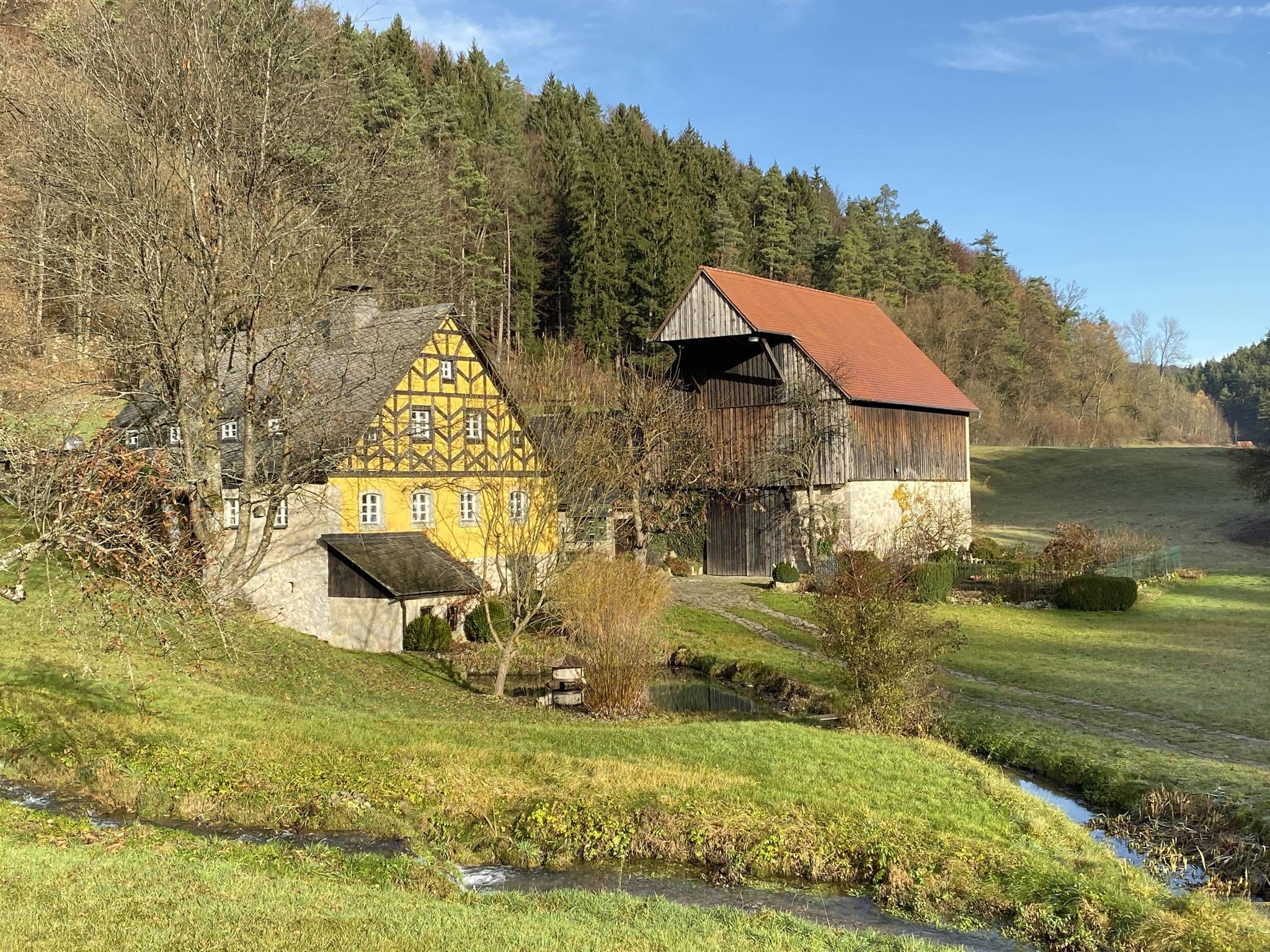
From the view to the Seidla – Nature and BeerEnjoyment in the Franconian Switzerland
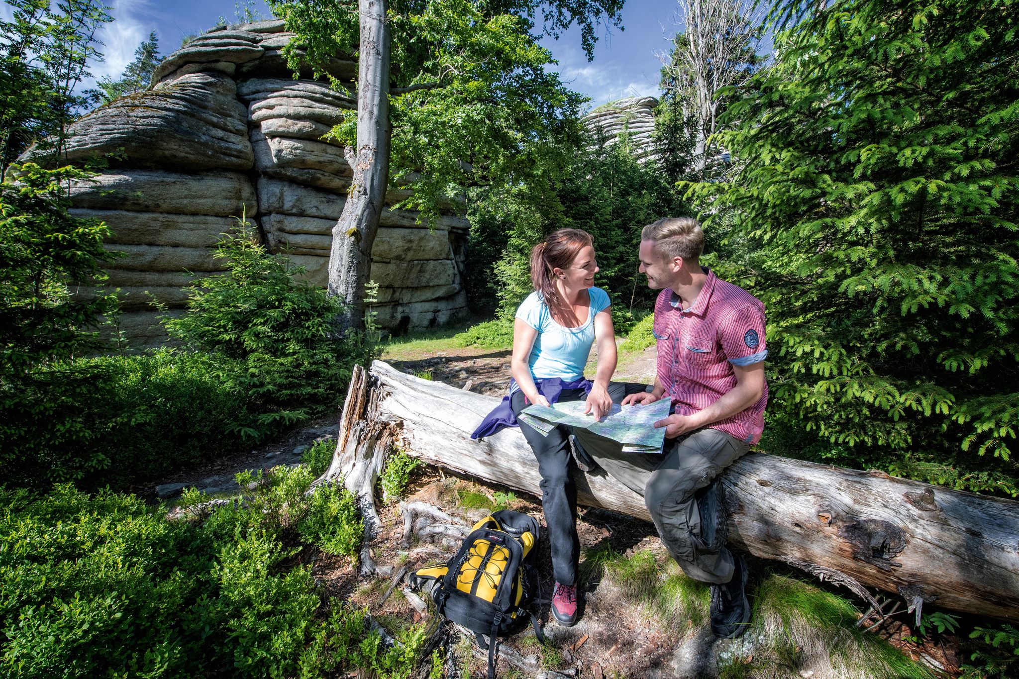
The Franconian Mountain Trail – 21 Stages of Magical Summit Bliss
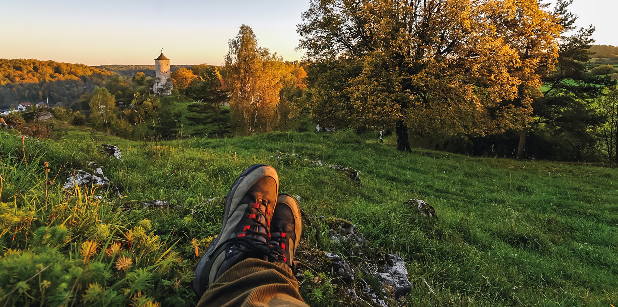
Breweries, hops & beer – Four days hiking in Franconian Switzerland
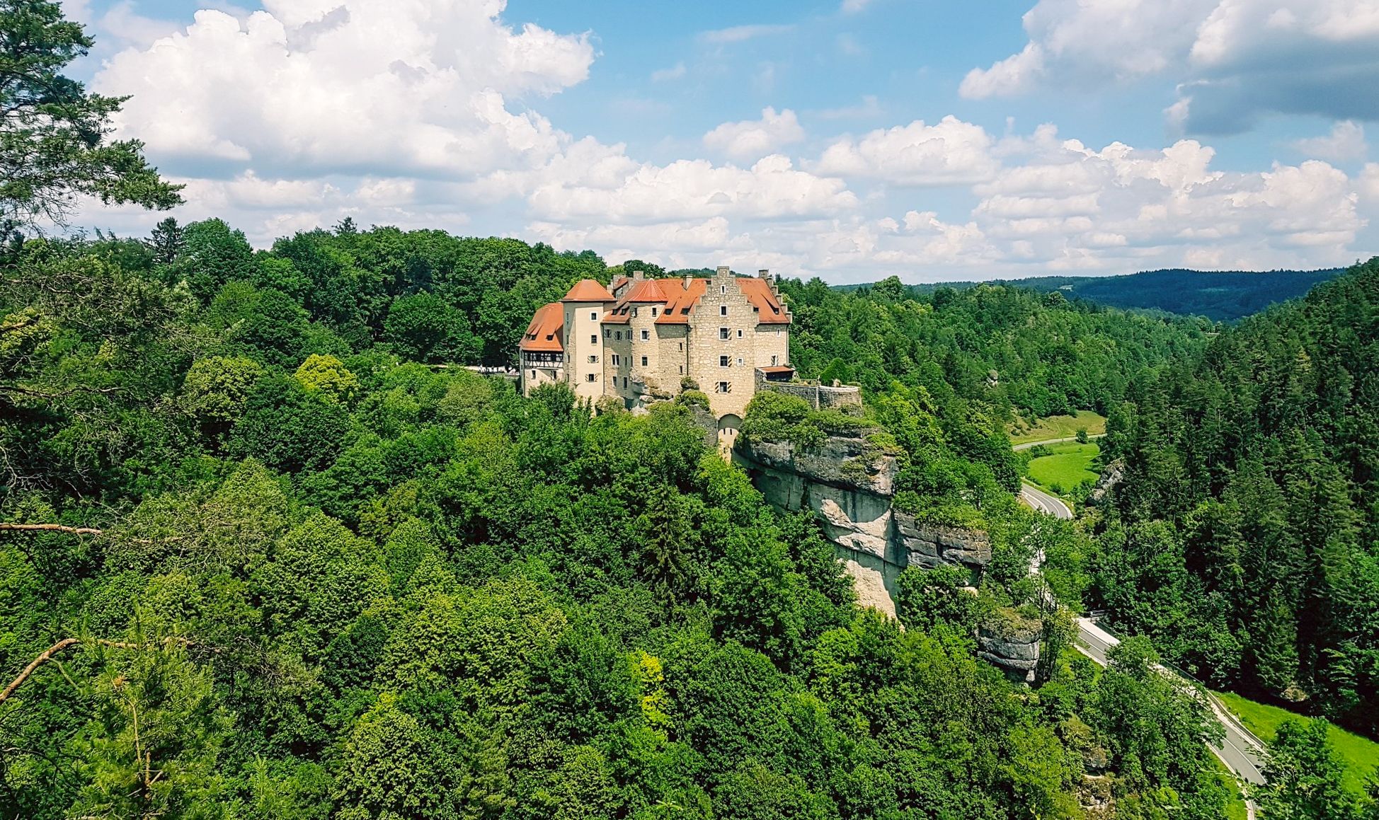
Hikes for tiny boots – VGN recreational activities for families
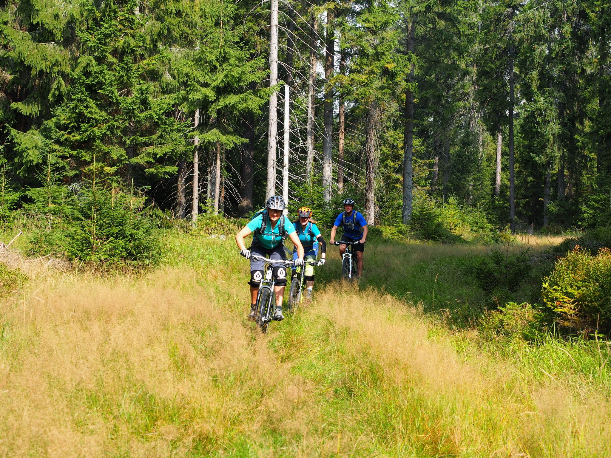
The best bike Tours around Nuremberg – MTB microadventures with the VGN
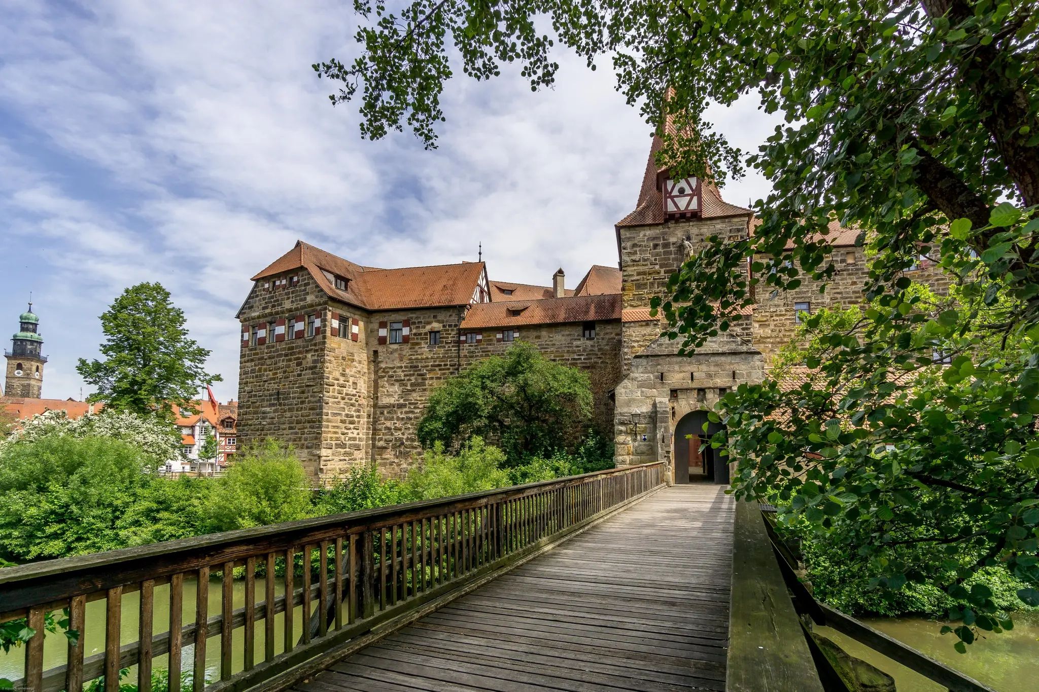
Romantik zwischen Mannheim und Bayreuth – CYCLE ROUTE Burgenstraße
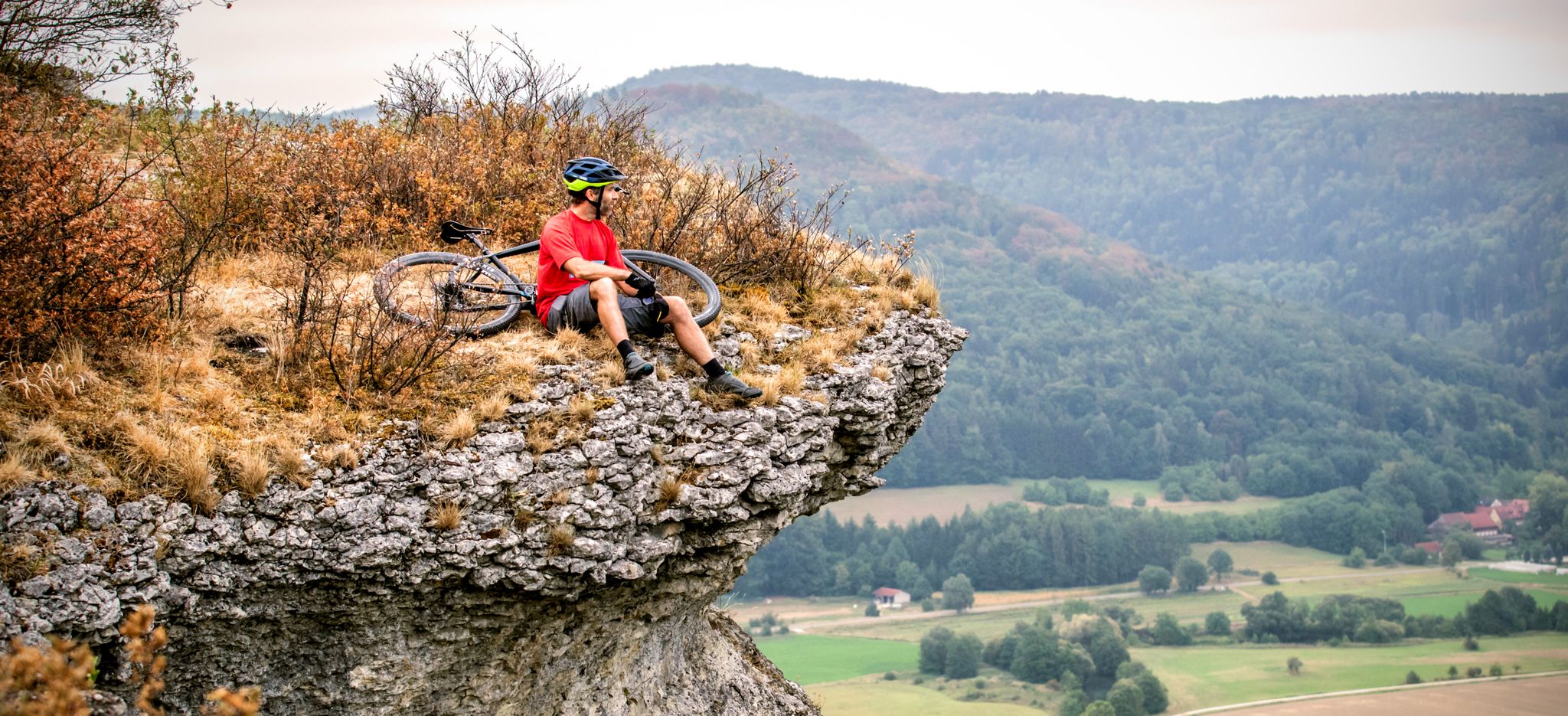
The 10 most beautiful mountain bike Tours in Franconian Switzerland
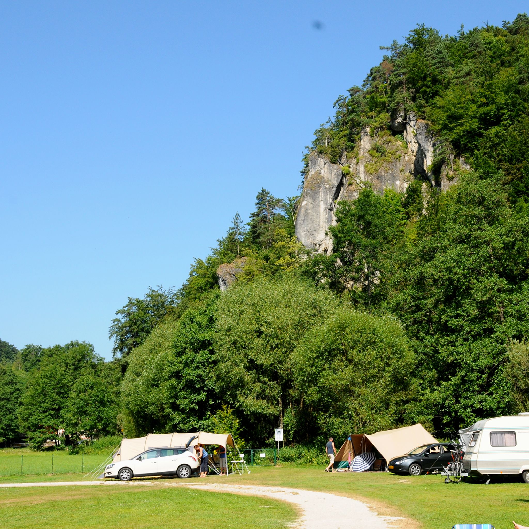
Cycling around Waischenfeld
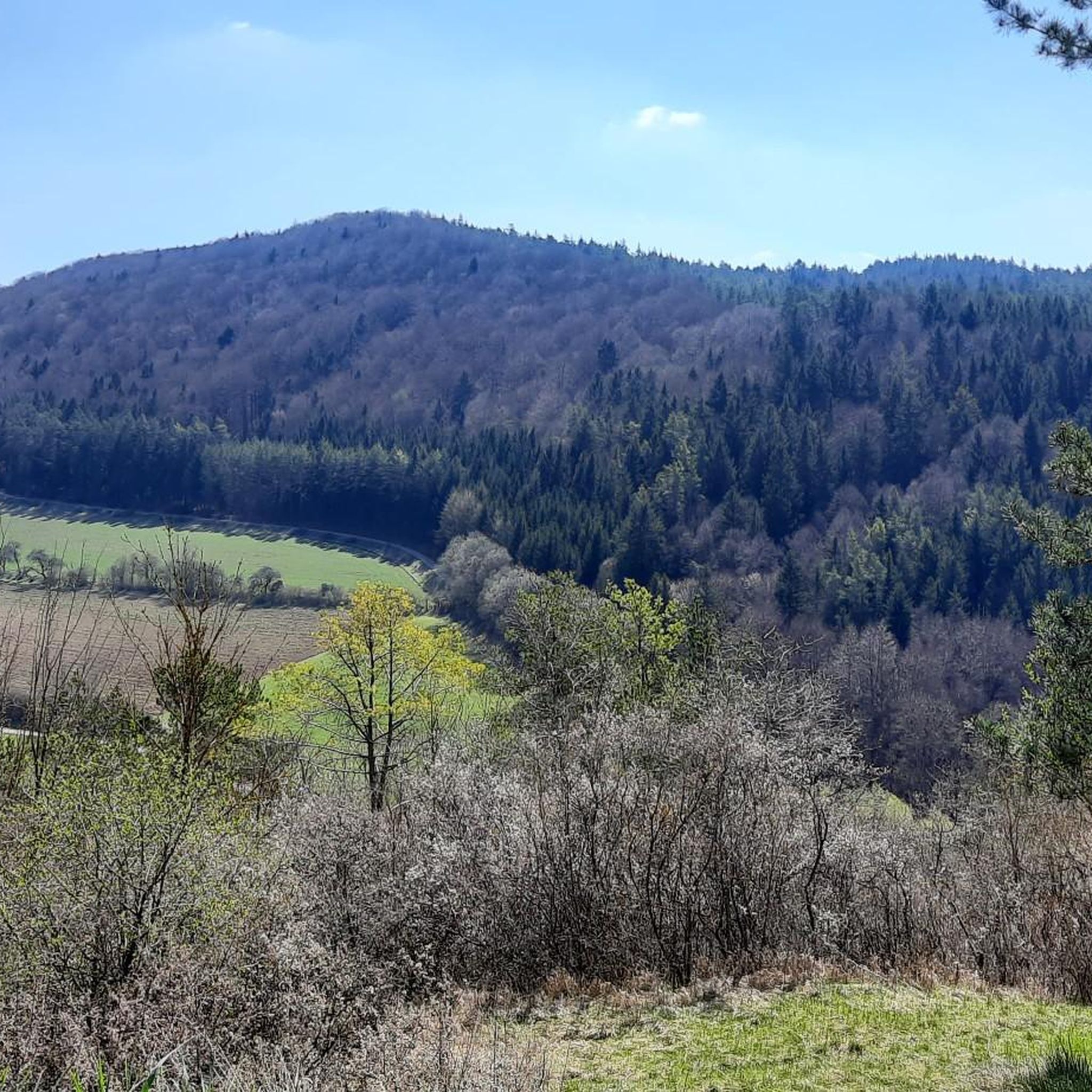
Running Trails around Waischenfeld
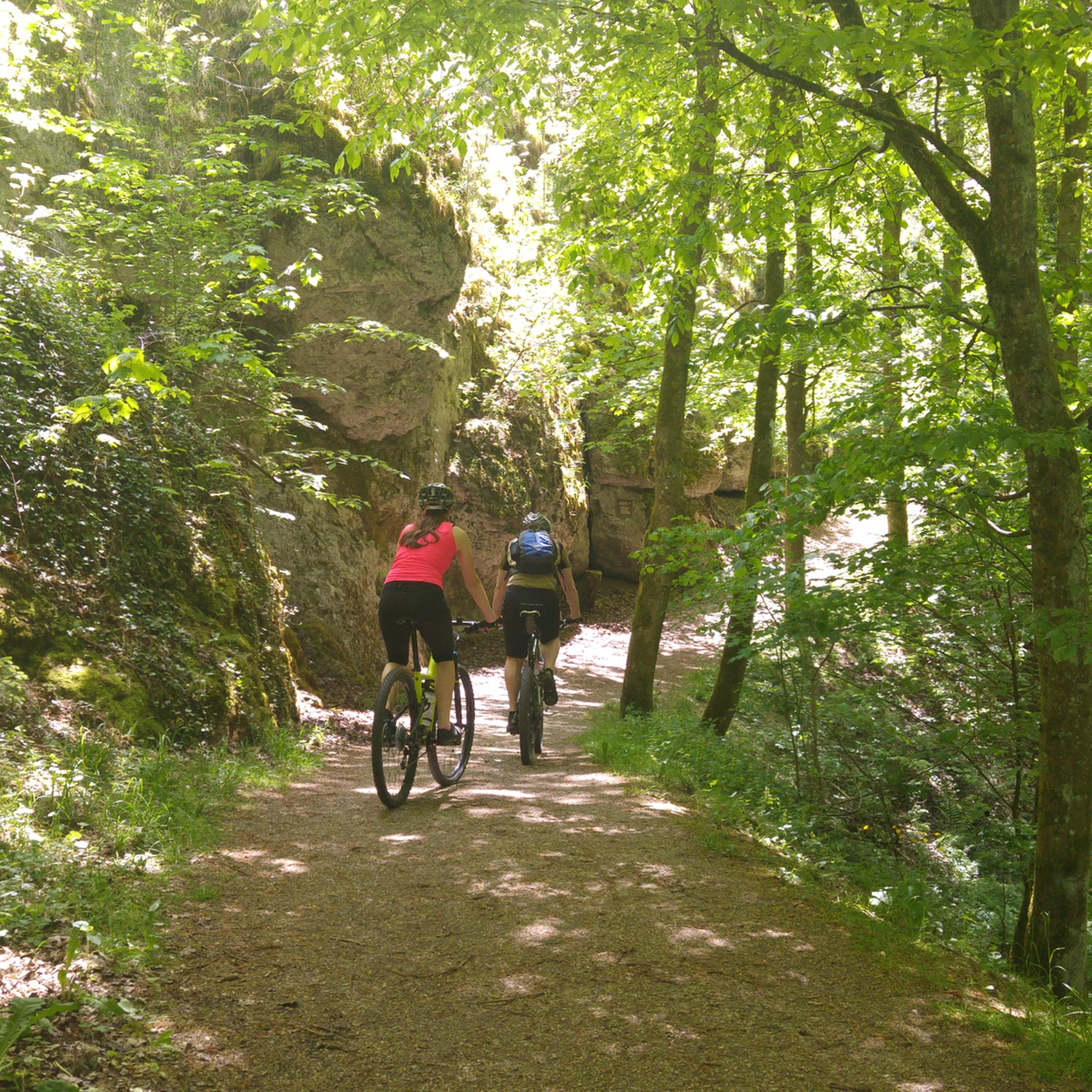
MTB Trails around Waischenfeld
Other adventures around Waischenfeld


Tips from the Community

In the heart of Waischenfeld, a stone's throw from the historic Wiesent bridge, at Marktplatz 3 you'll find a true monument of Franconian milling history: the Wehrl city mill. The impressive structure captivates visitors primarily with its technical masterpiece – the mill houses one of the largest undershot water wheels in the entire Franconian Switzerland, which turns tirelessly and loudly in the waters of the Wiesent. The history of the house is inextricably linked to the Wehrl family, in whose proud possession the estate has been since 1698. Even a fire disaster in 1948, which destroyed the building down to its foundations, could not break the tradition: already the following year, the mill was rebuilt in its current, stately form. After grain from the surrounding area was diligently milled here until 2007, the historic water power today serves clean electricity generation for the region. An absolutely photogenic stop on any city tour, perfectly combining history and modernity.
2
0
Anyone who follows the gentle murmur of the water on the riverbank opposite the Nankendorfer Mühle will discover a charming piece of history at the foot of the steep Lochberg wall: the Schatzbrunnen. This beautifully restored sandstone fountain was far more than just decoration in previous centuries – it served the people of Nankendorf as a vital source of drinking water. In 2009, the village community revived the historic structure from its slumber through joint effort. A special tip for spring holidaymakers: At Easter, the fountain is magnificently decorated according to old Franconian tradition with hand-tied garlands and hundreds of colourful Easter eggs. The mysterious name of the fountain also connects to the mystical world of legends in the valley. Just a short distance upstream lies the "Schatzlache" – a deep body of water from which, according to old chronicles, a green-haired nixie rose on stormy nights to guard a brightly shining gold treasure hidden at the bottom from the eyes of curious hikers. A wonderful, history-rich stopover right by the wayside, inviting you to take photos and dream.
4
0
Anyone traveling through Franconian Switzerland looking for a place where deep-rooted traditions, vibrant beer culture, and spectacular natural scenery merge perfectly, cannot miss Nankendorf. The idyllic parish village with its approximately 310 inhabitants is the second-largest district of Waischenfeld and nestles picturesquely into a wide loop of the Wiesent river. As one of the oldest settlements in the region, the village looks back on a fascinating history that is still palpable on every corner of the charming village center today. For active vacationers, Nankendorf is the perfect starting point. Major long-distance hiking trails such as the Fränkische Gebirgsweg and the Fränkische Marienweg cross the village. The most beautiful tours in the surrounding area start from here: whether it's a mystical ascent to the Dreifaltigkeitsmarter on the Auberg, a discovery tour upstream past the Truppach estuary and the historic weir to the Eichenmühle, or a vertical adventure at the Freudenhaus climbing rock in the nearby Aalkorb – Nankendorf opens the door to the most beautiful natural wonders of the upper Wiesent valley.
4
0

Riesenburg - Versturzhöhle: A visit is definitely worth it. Very impressive cave and great view into the Wiesent valley.
0
0

The Rabenecker Mühle, first documented in the 14th century, is a historic, listed watermill in Wiesenttal directly below Rabeneck Castle. After a devastating fire during a wedding celebration in 1780, the current, distinctive half-timbered house was rebuilt three years later with three water wheels. After the traditional milling operations ceased in 1935, the owners installed a water turbine in 1963 for sustainable electricity generation. Today, the building is privately owned, serves as a residence and for biological grain processing, and is an extremely popular photo motif along the surrounding hiking trails due to its picturesque location on a weir.
2
0
The marketplace of Waischenfeld, officially named Bischof-Nausea-Platz today, forms the historical and social heart of the state-recognized climatic health resort in the Wiesenttal valley. Characterized by well-preserved Franconian half-timbered houses, the area reflects over 700 years of town history. The square extends across the valley floor directly below the striking Jura cliffs and the medieval Waischenfeld Castle with its famous round tower, the "Steinerner Beutel". As a central hub, it houses important municipal facilities such as the town hall and the tourist information office in the historic Baderhaus, and also serves as a backdrop for traditional markets and town festivals. Furthermore, the square functions as an ideal starting point for the historical city tour and the short panorama trail.
3
0

To be enjoyed with caution on rainy days
0
0
Frequently Asked Questions
How many hiking trails are available around Waischenfeld?
There are over 300 hiking routes around Waischenfeld, offering a wide variety of experiences. These include 122 easy trails, 156 moderate routes, and 26 more challenging hikes, ensuring options for all skill levels.
What kind of scenery can I expect on hikes in Waischenfeld?
Hiking in Waischenfeld primarily takes you through the scenic Wiesent Valley, characterized by distinctive limestone rock formations, dense forests, and the meandering Wiesent River. You'll find a varied topography with gentle hills and deeper valleys, often leading to impressive viewpoints overlooking the landscape.
Are there any family-friendly hiking trails in Waischenfeld?
Yes, Waischenfeld offers many family-friendly options. With 122 easy trails, you can find routes suitable for all ages. Many trails follow river courses or explore the local area with minimal elevation gain, perfect for a relaxed family outing.
Can I bring my dog on the hiking trails in Waischenfeld?
Most hiking trails in Waischenfeld are dog-friendly, allowing you to explore the beautiful nature with your canine companion. It's always a good idea to keep your dog on a leash, especially near wildlife or other hikers, and to check specific trail regulations if available.
Are there any circular hiking routes around Waischenfeld?
Yes, many of the trails around Waischenfeld are circular, offering convenient starting and ending points. For example, the Waischenfeld town center – Sophien Cave loop from Waischenfeld is a popular moderate circular route that includes a cave exploration.
What are some notable geological features or caves to see while hiking?
Waischenfeld is known for its impressive geological formations and caves. You can explore highlights like the Oswald Cave, the unique Quackenschloss, or the Riesenburg Collapse Cave. The Sophien Cave – Ludwig Cave loop from Waischenfeld specifically leads past several geological features.
Are there any trails that include stops at local breweries or cafes?
The Franconian Switzerland region, including Waischenfeld, is famous for its high density of traditional breweries. While specific cafes vary, routes like the Nankendorf Mill – Brewery Inn Krug Bräu Breitenlesau loop from Waischenfeld offer the chance to combine your hike with a visit to a local brewery inn.
What do other hikers say about the trails in Waischenfeld?
The hiking trails in Waischenfeld are highly regarded by the komoot community, boasting an average rating of 4.6 stars from over 3,700 reviews. Hikers often praise the diverse terrain, the stunning limestone formations, and the well-maintained paths through forests and along river valleys.
Are there any challenging hikes for experienced hikers?
Yes, for those seeking more demanding adventures, Waischenfeld offers 26 difficult routes. These trails typically feature greater elevation changes and more rugged terrain, providing a good challenge while still showcasing the region's natural beauty.
What are some scenic viewpoints or landmarks to look out for?
Many trails in Waischenfeld ascend to viewpoints offering panoramic vistas of the Wiesent Valley. The region is also dotted with impressive rock formations, such as those found on the Jägersteig, and historical sites like the King Ludwig's Rock.
Is Waischenfeld accessible by public transport for hikers?
Waischenfeld is generally accessible by public transport, primarily via bus connections from larger towns in the Franconian Switzerland region. While some trailheads might require a short walk from the nearest bus stop, it is possible to reach the area without a car. It's advisable to check local bus schedules in advance.
Are there parking facilities available near the trailheads in Waischenfeld?
Yes, Waischenfeld and its surrounding villages typically offer designated parking areas for hikers, often near popular trailheads or central locations. These can include public car parks or smaller spots along the roads leading to hiking routes. Availability may vary, especially during peak season.
Most popular routes around Waischenfeld
Most popular attractions around Waischenfeld

Get inspired with the komoot mobile app


Explore more
Browse the best Hikes in other regions.
