The best road cycling routes in the Sierra Madre Occidental
5.0
(21)
52
riders
4
rides
Road cycling in the Sierra Madre Occidental offers diverse terrain for cyclists. This extensive mountain range features significant elevation changes, providing routes with both challenging climbs and rewarding descents. The landscape is characterized by varied natural environments, from high mountain passes to valleys. Road cyclists can expect a mix of surfaces and gradients across the region's network of roads.
Best road cycling routes in the Sierra Madre Occidental
- The most popular road cycling route is Nogales to Sonotia, a…
Last updated: July 9, 2026
28
riders
102km
04:24
890m
890m
This moderate 63.3-mile road cycling route from Nogales to Sonotia offers scenic views but requires careful route planning due to safety con
7
riders
31.3km
01:35
220m
220m
Easy road ride. Great for any fitness level. Mostly well-paved surfaces and easy to ride.

Sign up for free
5.0
(21)
6
riders
30.0km
01:15
110m
110m
Easy road ride. Great for any fitness level. Mostly well-paved surfaces and easy to ride.
6
riders
59.3km
02:55
450m
450m
Moderate road ride. Good fitness required. Mostly well-paved surfaces and easy to ride.
5
riders
36.5km
02:06
550m
550m
Moderate road ride. Good fitness required. Some segments of this route may be unpaved and difficult to ride.
Our route recommendations are based on thousands of hikes, rides, and runs completed by other people on komoot.
Start today with a free account
Your next adventure awaits.
Login or Signup

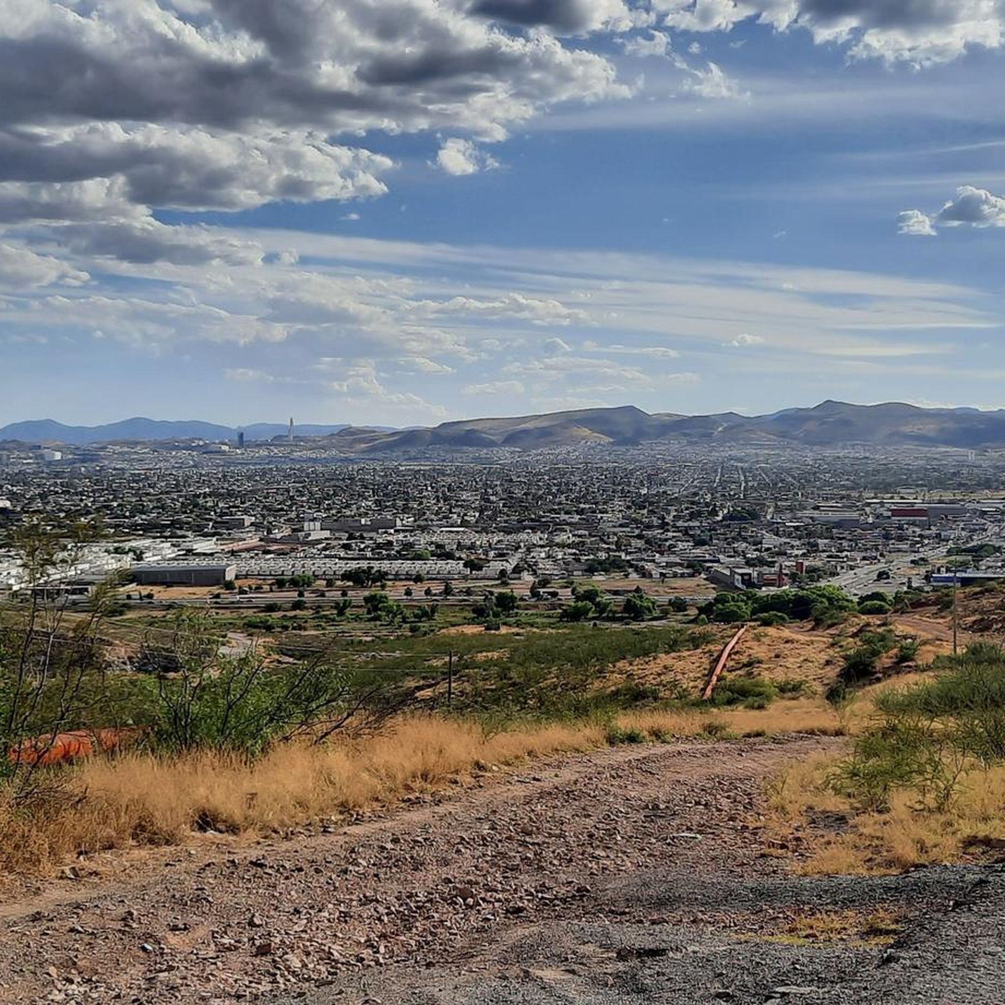
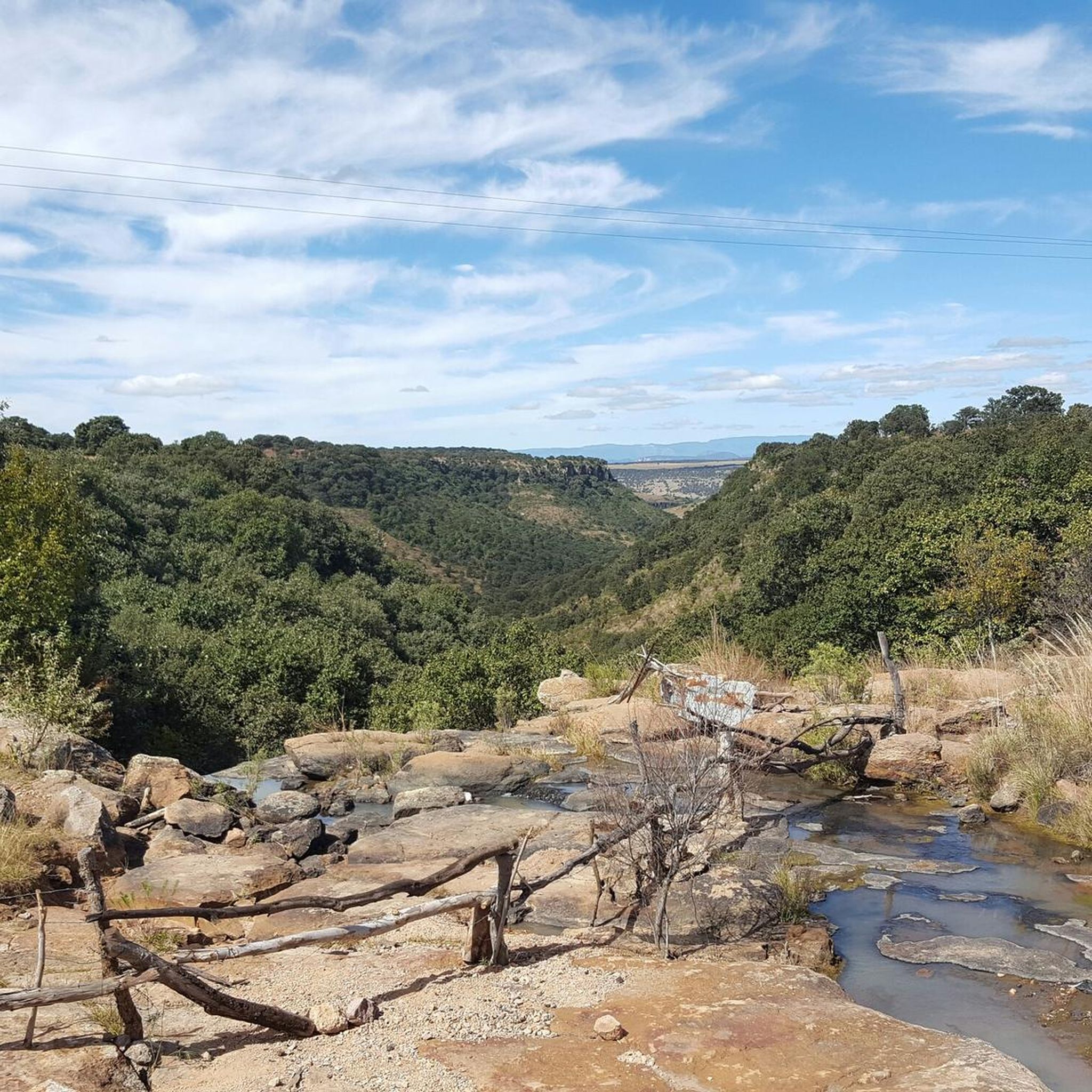
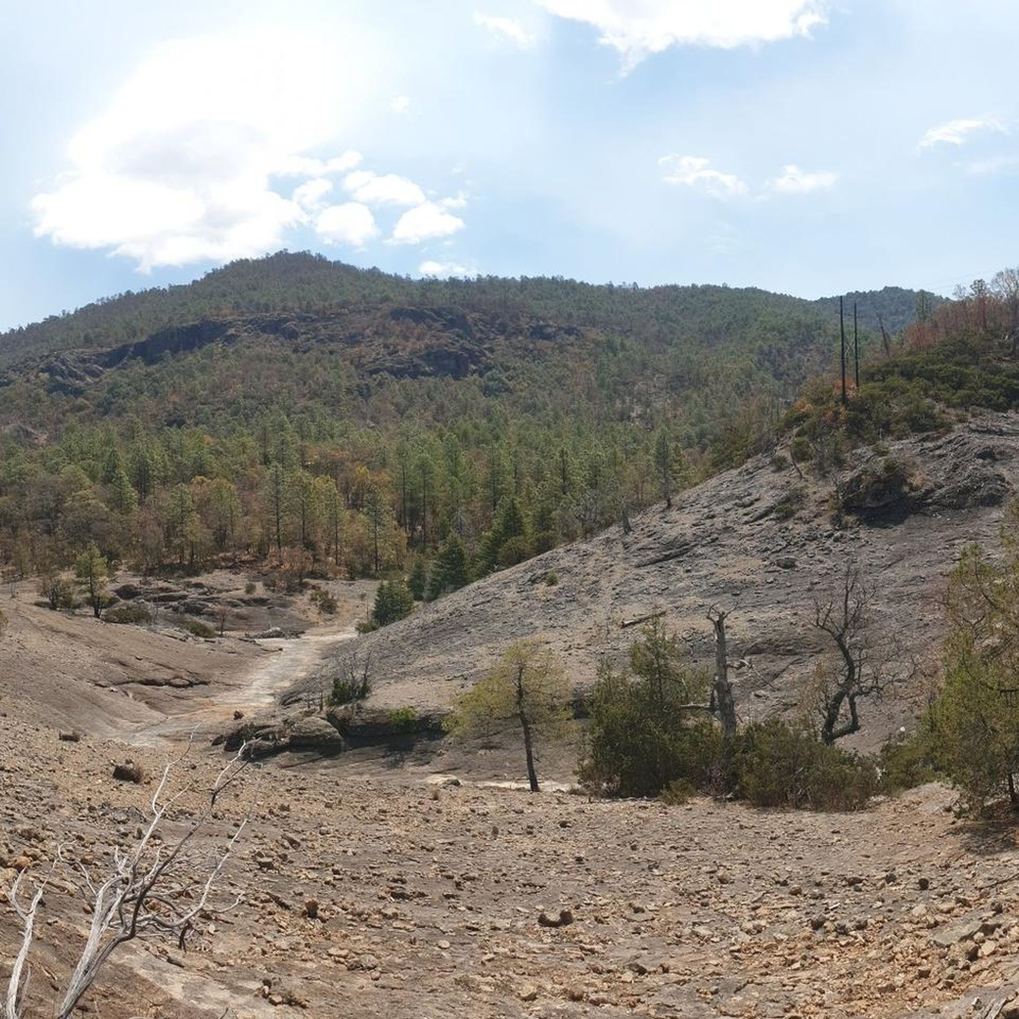
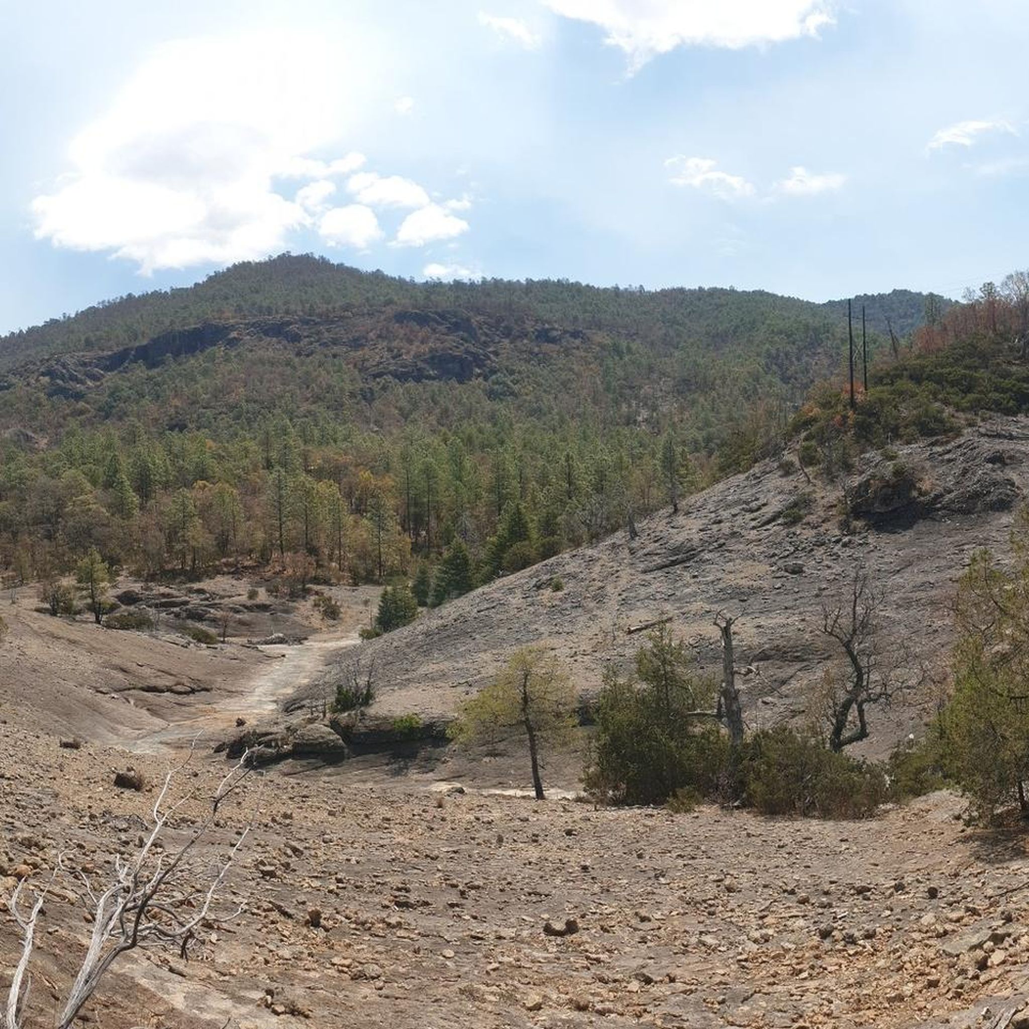
Other adventures in the Sierra Madre Occidental

Tips from the Community

Los Santos Ángeles de Guevavi, established in 1691 by Jesuit Fathers Kino and Salvatierra, was one of the earliest Spanish missions in Arizona. It served as a district headquarters from 1701, with Father Juan de San Martin as the first resident priest. Over the years, the priests and residents faced hardships like disease, Apache raids, and the Pima revolt, a well-coordinated attack on Spanish missions and settlements by O'odham rebels in 1751. Despite efforts to sustain the mission, it was eventually abandoned in 1775. Its ruins were incorporated into Tumacácori National Historical Park in 1990, and were donated by Ralph Wingfield and preserved by the Archaeological Conservancy.
0
0
Nogales, Arizona, is a city in Santa Cruz County located directly on the U.S.-Mexico border. This high desert city, situated at an elevation of approximately 3,865 feet, serves as a crucial border crossing and trade hub. Established in the late 19th century, Nogales' growth accelerated with the arrival of the railroad in the 1880s. This connection fostered its development as a key point for U.S.-Mexico trade, particularly in fresh produce and cross-border manufacturing. Culturally, Nogales reflects its deep ties with Mexico. The city's rich cultural heritage is celebrated through various events and historic sites, such as the Old Courthouse and downtown's historic buildings.
0
0
Sonoita, AZ, nestled in the rolling hills of southeastern Arizona, is a hub for wine enthusiasts, rodeo lovers, and cyclists. As Arizona’s first American Viticultural Area (AVA), Sonoita boasts numerous vineyards and wineries, producing award-winning wines that draw visitors for tastings and tours. This picturesque region is known for its unique terroir, offering a variety of reds, whites, and rosés. Sonoita is also famous for its vibrant rodeo culture, with events like the Sonoita Horse Races and the Labor Day Rodeo showcasing traditional Western skills and attracting competitors and spectators alike. Cycling enthusiasts flock to Sonoita for its scenic routes and challenging terrains, making it a popular destination for road and mountain biking. The annual Tour de Tucson, a major cycling event, often features routes through Sonoita, highlighting its beautiful landscapes and cycling-friendly roads.
0
0


The Arizona Trail leads directly through the small town of Patagonia. At Patagonia Market (open from 5am until 8pm!) and Red Mountains Foods you can refill your supplies. The only hotel in town is the Stage Stop Inn, which offers a discount for AZT hikers/bikers and has a hiker box available. If the hotel is fully booked, comfortable accommodation is available through AirBnB. Wifi and a great breakfast is available at the Gathering Grounds.
3
0
The Arizona Trail leads directly through the small town of Patagonia. At Patagonia Market (open from 5am until 8pm!) and Red Mountains Foods you can refill your supplies. The only hotel in town is the Stage Stop Inn, which offers a discount for AZT hikers and has a hiker box available. If the hotel is fully booked, comfortable accommodation is available through AirBnB. Wifi and a great breakfast is available at the Gathering Grounds.
3
0
Frequently Asked Questions
What kind of terrain can I expect when road cycling in the Sierra Madre Occidental?
The Sierra Madre Occidental offers diverse terrain, characterized by significant elevation changes. You'll encounter a mix of challenging climbs, rewarding descents, mountain passes, valleys, and rolling hills. The landscape varies from high mountain environments to more gentle valley rides.
Are there road cycling routes suitable for beginners in the Sierra Madre Occidental?
Yes, the region provides options for various ability levels. For an easier ride, consider the Roadbike loop from Valle del Mezquital 2, which is an 18.6-mile path offering a gentle ride through the valley.
What are some of the more challenging road cycling routes in the Sierra Madre Occidental?
For a more demanding experience, routes like Nogales to Sonotia present sustained climbs and descents over 63.3 miles. Another moderate option is the Nogales loop from Central camionera TAP Nogales, covering 37.1 miles through varied terrain.
Are there any circular road cycling routes in the Sierra Madre Occidental?
Yes, there are several loop options. The Roadbike loop from Valle del Mezquital 2 is an easy circular route, and the Nogales loop from Central camionera TAP Nogales offers a moderate circular ride.
What is the typical length and duration of road cycling routes in this region?
Route lengths and durations vary significantly. You can find shorter, easier rides like the 18.6-mile Roadbike loop from Valle del Mezquital 2, which takes about 1 hour 15 minutes. Longer, more challenging routes, such as Nogales to Sonotia, span over 63 miles and can take more than 4 hours to complete.
What attractions or points of interest can I see along road cycling routes in the Sierra Madre Occidental?
While cycling, you can explore various points of interest. Consider visiting the Favela Museum for a historical perspective, or the charming Copala. Magical town. For scenic views, the Rukiraso viewpoint offers stunning vistas.
What do other road cyclists say about their experience in the Sierra Madre Occidental?
The road cycling routes in the Sierra Madre Occidental are highly rated by the komoot community, with an average score of 5.0 stars from over 20 reviews. Cyclists often praise the varied terrain and the options available for different skill levels.
Are there any specific scenic drives or trails suitable for road cycling?
Yes, the Scenic Drive on Highway 40 is a notable route that offers picturesque views and is popular among cyclists. Additionally, the Genaro Codina-Las Cumbres trail provides another interesting option for exploration.
How many road cycling routes are available in the Sierra Madre Occidental?
There are several road cycling routes documented in the Sierra Madre Occidental, offering a range of experiences from easy to moderate difficulty. The komoot community has explored over 40 routes in the region.
What is the best time of year for road biking in the Sierra Madre Occidental?
The Sierra Madre Occidental experiences varied weather due to its elevation. Generally, the dry season from October to May offers more stable conditions for cycling, with cooler temperatures at higher altitudes and pleasant weather in the valleys. It's always advisable to check local forecasts before heading out.
Are there routes that pass through towns or areas with amenities like cafes?
Many routes in the Sierra Madre Occidental will pass through or near small towns and settlements where you can find opportunities for refreshments and amenities. For example, routes starting or ending in Nogales would offer access to various services. It's recommended to plan your route and check for available services along the way.
Most popular routes in the Sierra Madre Occidental
Most popular attractions in the Sierra Madre Occidental

Get inspired with the komoot mobile app


Explore more
Browse the best Road cycling routes in other regions.
