The best running trails around Maglione
4.5
(20)
1,109
runners
112
runs
Jogging around Maglione offers a variety of routes through a landscape characterized by rolling hills, agricultural areas, and views towards the Alps. The region features a mix of open countryside and paths near local lakes. Elevation changes are generally moderate, providing accessible running experiences.
Best jogging routes around Maglione
- The most popular jogging route is View of Caravino and the Alps – Castello di Masino loop from Borgomasino, a 7.3 miles (11.7 km) trail that takes 1 hour 24…
Last updated: July 1, 2026
9
runners
11.7km
01:25
240m
240m
Moderate run. Good fitness required. Mostly paved surfaces. Suitable for all skill levels.
6
runners
13.2km
01:28
70m
70m
Moderate run. Good fitness required. Mostly paved surfaces. Suitable for all skill levels.

Sign up for free
5
runners
11.6km
01:24
140m
140m
Moderate run. Good fitness required. Mostly paved surfaces. Suitable for all skill levels.
4
runners
8.20km
00:58
140m
140m
Moderate run. Good fitness required. Mostly paved surfaces. Suitable for all skill levels.
4
runners
8.41km
00:59
130m
130m
Moderate run. Good fitness required. Mostly paved surfaces. Suitable for all skill levels.
Get access to more routes and recommendations from other explorers.
Sign up for free
Already have an account?
Our route recommendations are based on thousands of hikes, rides, and runs completed by other people on komoot.
Start today with a free account
Your next adventure awaits.
Login or Signup
Tips from the Community

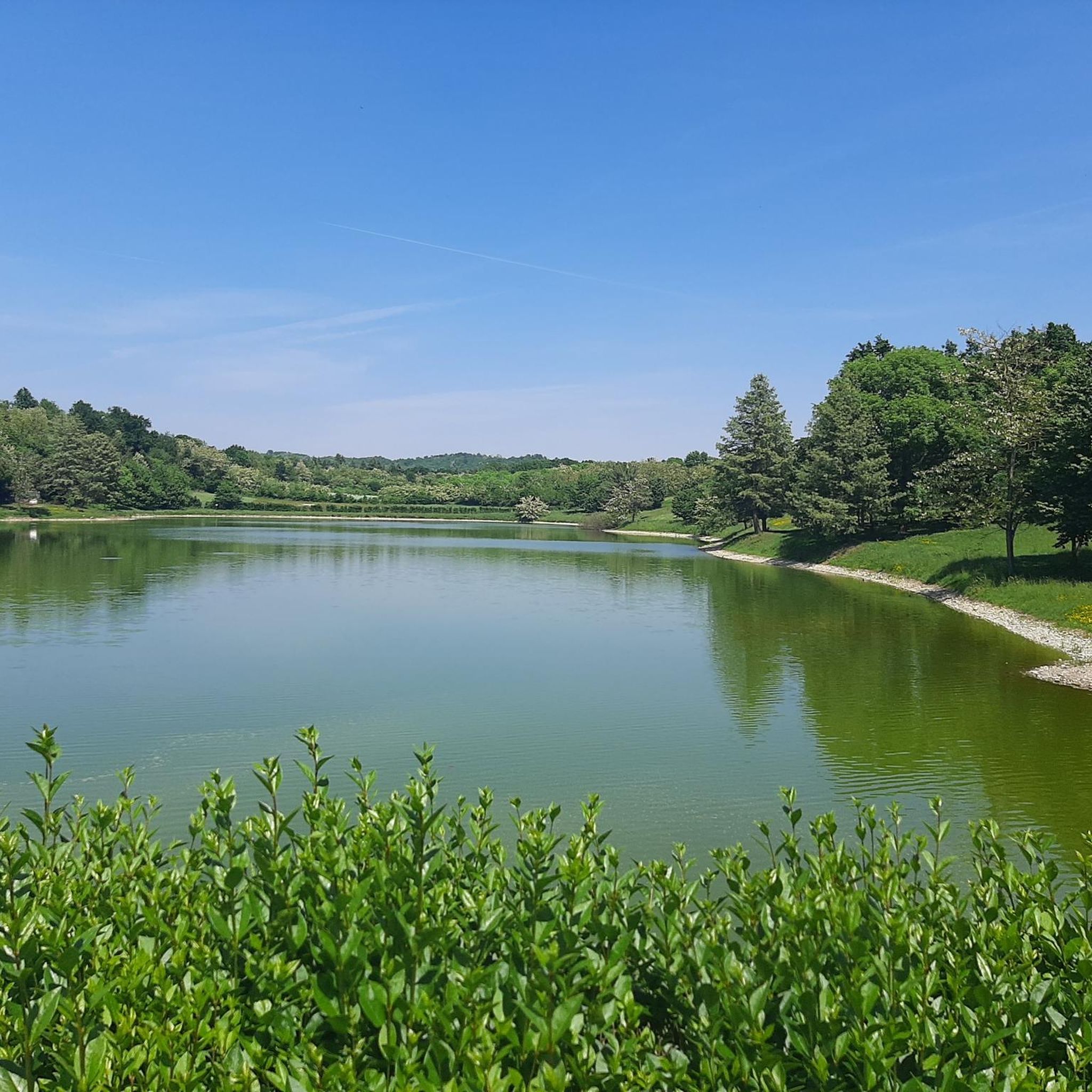
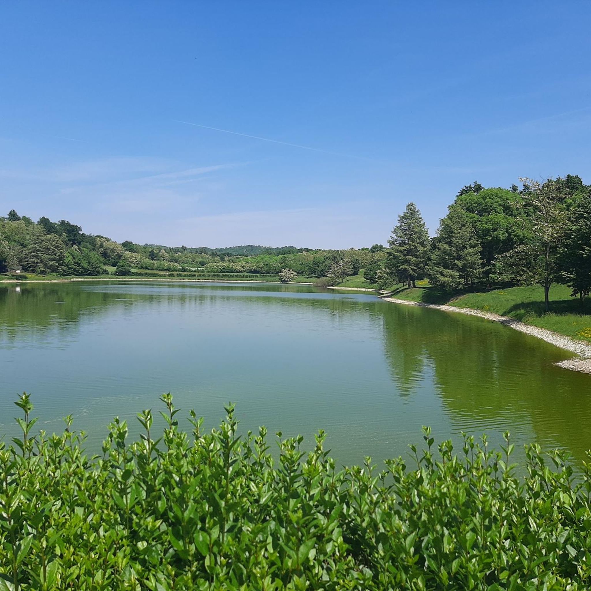
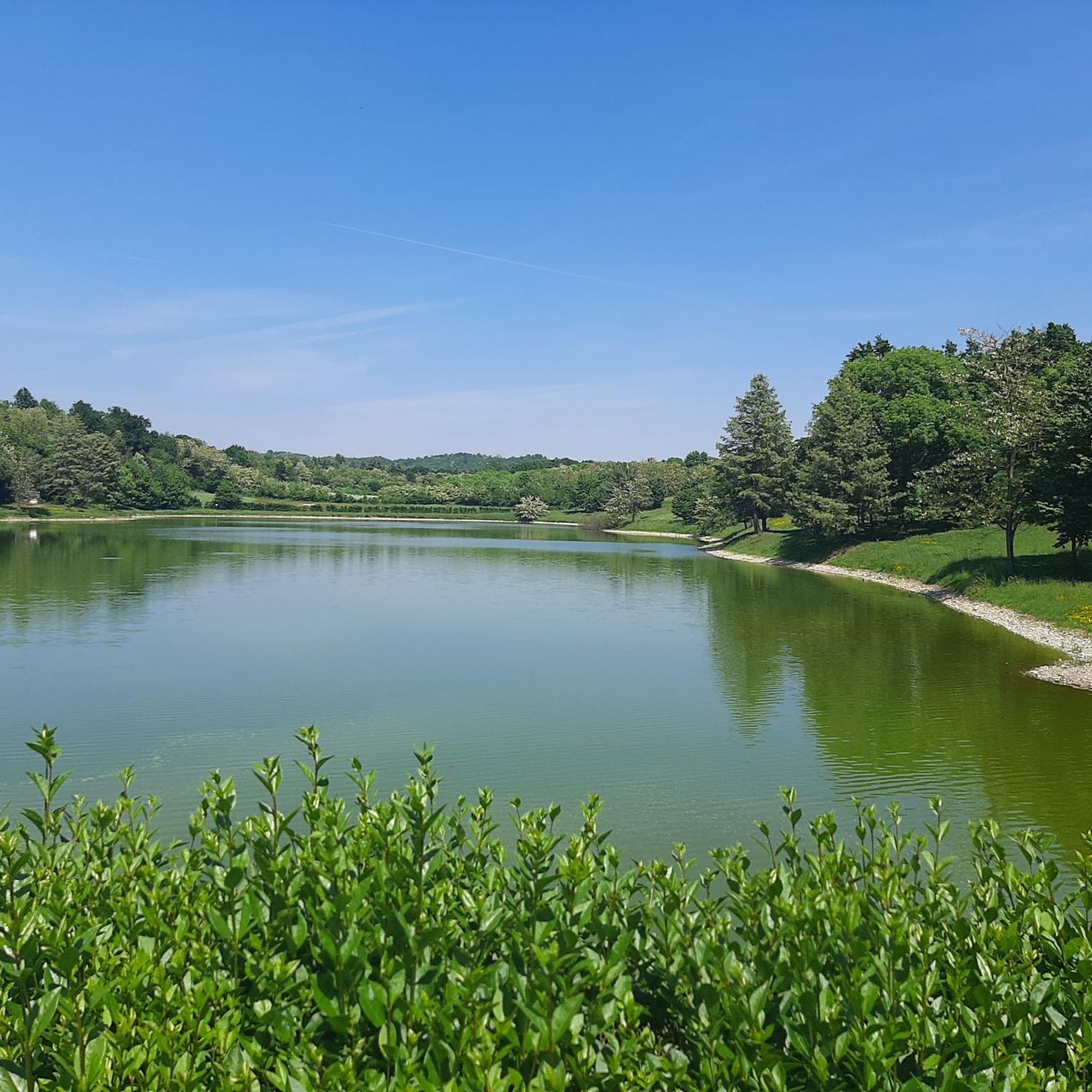
Lake Candia (in Piedmontese lagh ëd Candia), located in the municipality of Candia, in the Canavese area, about thirty kilometers from Turin, is the last highly natural lake basin in the Piedmontese Po Valley, before the mountain barrier represented by the Western Alps.
0
0

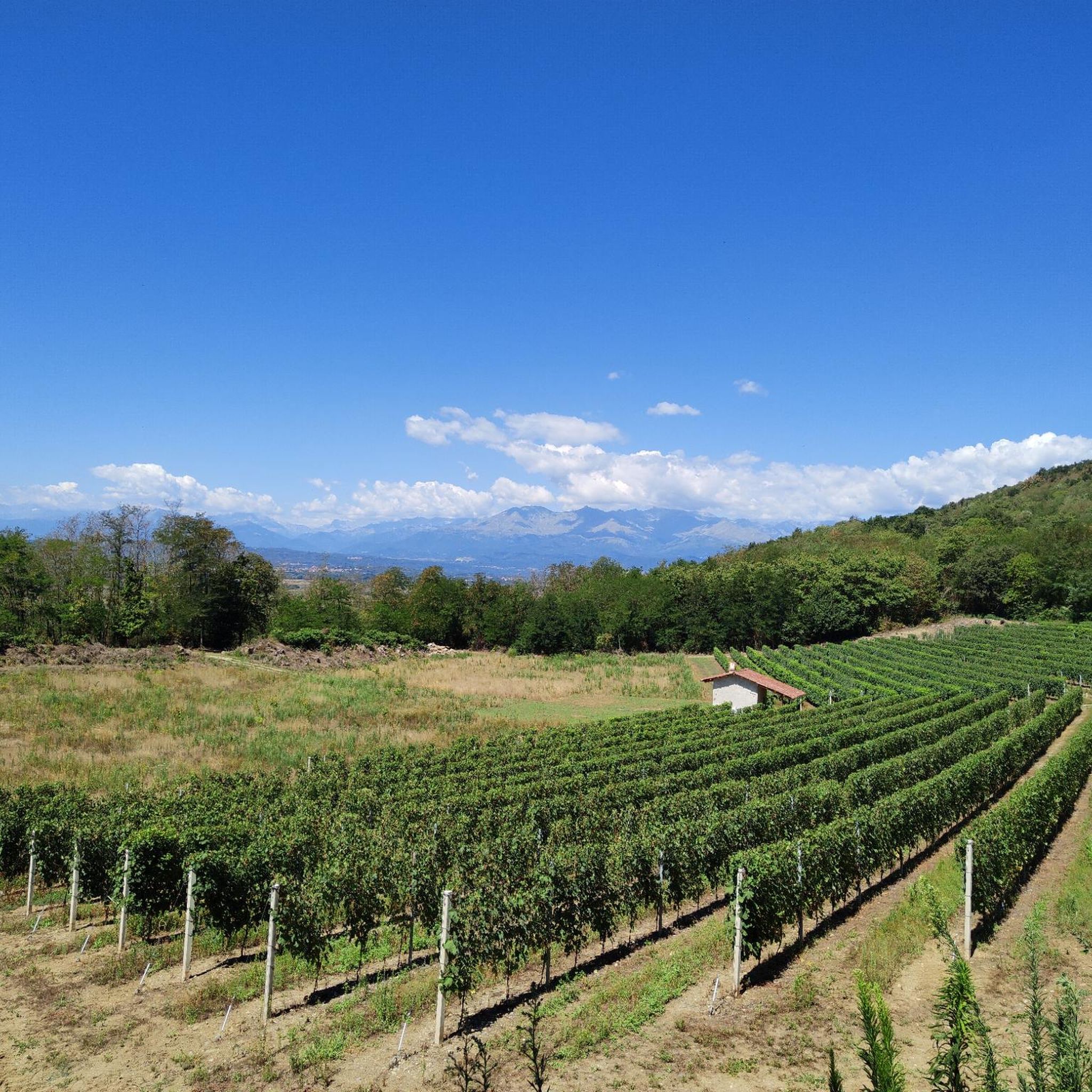
The area depicted in these images is located a short distance from the parking lot where it's best to leave your car and explore (on foot or by bike) the countless trails that surround the lake. This is one of the few truly accessible areas along the entire perimeter because, perhaps to protect the lake's fragile ecosystem, the trail that circles it is kept at a constant distance. In any case, aside from the lake, the entire surrounding rural area is worth a visit, still pleasantly unspoiled. A trip in autumn is highly recommended for the myriad colors of the vegetation. Both cyclists and walkers should be careful, as I didn't notice any distinction between trails reserved for mountain bikes and those reserved for pedestrians; many secondary paths have dead ends!
0
0


Nice sign, dedicated exclusively to those who ride bikes
0
0

A photo on the park's pier is a must. Stunning view...
0
0


These paths are truly suggestive, almost always cleaned by local bikers who go to the Villareggia mountain bike shop
0
0
Frequently Asked Questions
How many running routes are available around Maglione?
There are nearly 100 dedicated running routes around Maglione, offering a wide variety of options for different preferences and fitness levels. The komoot community has explored over 90 routes in the area.
Are there easy running trails for beginners in Maglione?
Yes, Maglione offers several easy running trails perfect for beginners. There are 6 routes specifically graded as 'easy', providing gentle terrain and manageable distances to help you get started or enjoy a relaxed run.
What kind of scenery can I expect on jogging routes near Maglione?
Jogging routes around Maglione feature a diverse landscape of rolling hills, agricultural fields, and open countryside. Many paths offer scenic views towards the Alps and often pass by local lakes, providing a picturesque backdrop for your run.
Are there any circular running paths in the Maglione area?
Yes, many of the running routes around Maglione are circular, allowing you to start and finish at the same point. For example, the Moncrivello Castle – Sanctuary of Miralta loop from Moncrivello is a moderate 8.1 km circular route that offers historical sights.
Can I find running routes that pass by lakes in Maglione?
Absolutely. The region is known for its lakes. You can find routes that follow the shores of Lake Candia, such as the Molino Roccat MTB Trailhead – Lake Candia loop from Vische. Other nearby lakes include Lake Candia and Lake Viverone.
What do other runners say about the trails in Maglione?
The running trails in Maglione are highly regarded by the komoot community, holding an average rating of 4.5 stars from over 10 reviews. Runners often praise the varied terrain, beautiful lake views, and the accessibility of routes for different skill levels.
Are there any historical or interesting landmarks along the running routes?
Yes, some routes pass by historical sites and unique landmarks. For instance, you might encounter the Pile-dwelling Village at Lake Viverone or the Stilt Houses at Lake Viverone. The Moncrivello Castle – Sanctuary of Miralta loop from Moncrivello also offers views of historical structures.
What is the typical length and duration of running routes in Maglione?
The running routes in Maglione vary in length and duration. Many moderate trails range from 7 to 8 miles (11-13 km) and can take around 1 hour 15 minutes to 1 hour 30 minutes to complete, depending on your pace. Shorter and longer options are also available.
Are there any less-known running trails or 'hidden gems' in the Maglione area?
While popular routes are well-loved, you can discover less-trafficked paths by exploring the wider network. A good option to consider is the Sanctuary of Miralta loop from Villareggia, a moderate 8.3 km route that offers a different perspective of the region.
Is Maglione suitable for winter running?
Maglione's landscape, with its moderate elevation changes, can be suitable for winter running, especially on cleared paths or during milder conditions. However, always check local weather forecasts and trail conditions, as some paths might become muddy or icy after rain or snowfall.
Are there running routes with good viewpoints in Maglione?
Many routes in Maglione offer excellent viewpoints, particularly those that traverse the rolling hills. You can expect panoramic vistas of the surrounding agricultural areas and distant views of the Alps, providing inspiring scenery during your run.
Are the running trails around Maglione generally dog-friendly?
Most outdoor trails in the Maglione region are generally dog-friendly, especially those in open countryside and agricultural areas. However, it's always advisable to keep dogs on a leash, particularly near livestock or in protected natural areas, and to carry waste bags.
Are there family-friendly running routes in Maglione?
Yes, Maglione offers several easy and moderate routes that are suitable for families. These trails typically have gentler gradients and are shorter in length, making them enjoyable for runners of all ages. Look for routes marked as 'easy' for the most family-friendly options.
Most popular attractions around Maglione

Get inspired with the komoot mobile app


Explore more
Browse the best Running Trails & Routes in other regions.
