The best walks and hikes around Fontaneto D'Agogna
4.3
(673)
2,711
hikers
263
hikes
Hiking around Fontaneto D'Agogna offers diverse natural landscapes within Italy's Piedmont region. The area is characterized by the varied topography of the Novara Hills, featuring gentle slopes and cultivated fields. Situated between the Agogna and Sizzone rivers, the region benefits from water features that contribute to its lush environment. Hikers can explore protected areas like the Lagoni di Mercurago Nature Park and paths leading into Monte Fenera Park.
Best hiking trails around Fontaneto D'Agogna
- The most popular hiking route is…
Last updated: June 25, 2026
12.1km
03:10
100m
100m
Hike Sentiero Novara Trail: Stage 18, a moderate 7.5-mile route through Piedmont vineyards and varied landscapes, taking about 3 hours.
4.5
(4)
22
hikers
8.56km
02:16
80m
80m
Moderate hike. Good fitness required. Easily-accessible paths. Suitable for all skill levels.

Sign up for free
4.0
(1)
19
hikers
6.29km
01:40
70m
70m
Easy hike. Great for any fitness level. Easily-accessible paths. Suitable for all skill levels.
4.4
(5)
8
hikers
11.5km
02:58
60m
60m
Moderate hike. Good fitness required. Easily-accessible paths. Suitable for all skill levels.
4.0
(8)
13
hikers
8.15km
02:07
50m
50m
Moderate hike. Good fitness required. Easily-accessible paths. Suitable for all skill levels.
Get access to more routes and recommendations from other explorers.
Sign up for free
Already have an account?
Our route recommendations are based on thousands of hikes, rides, and runs completed by other people on komoot.
Start today with a free account
Your next adventure awaits.
Login or Signup
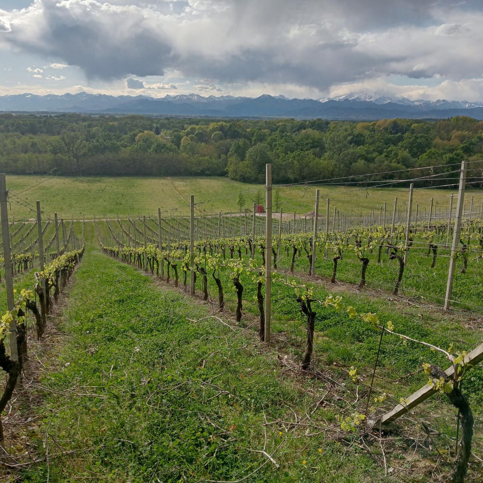
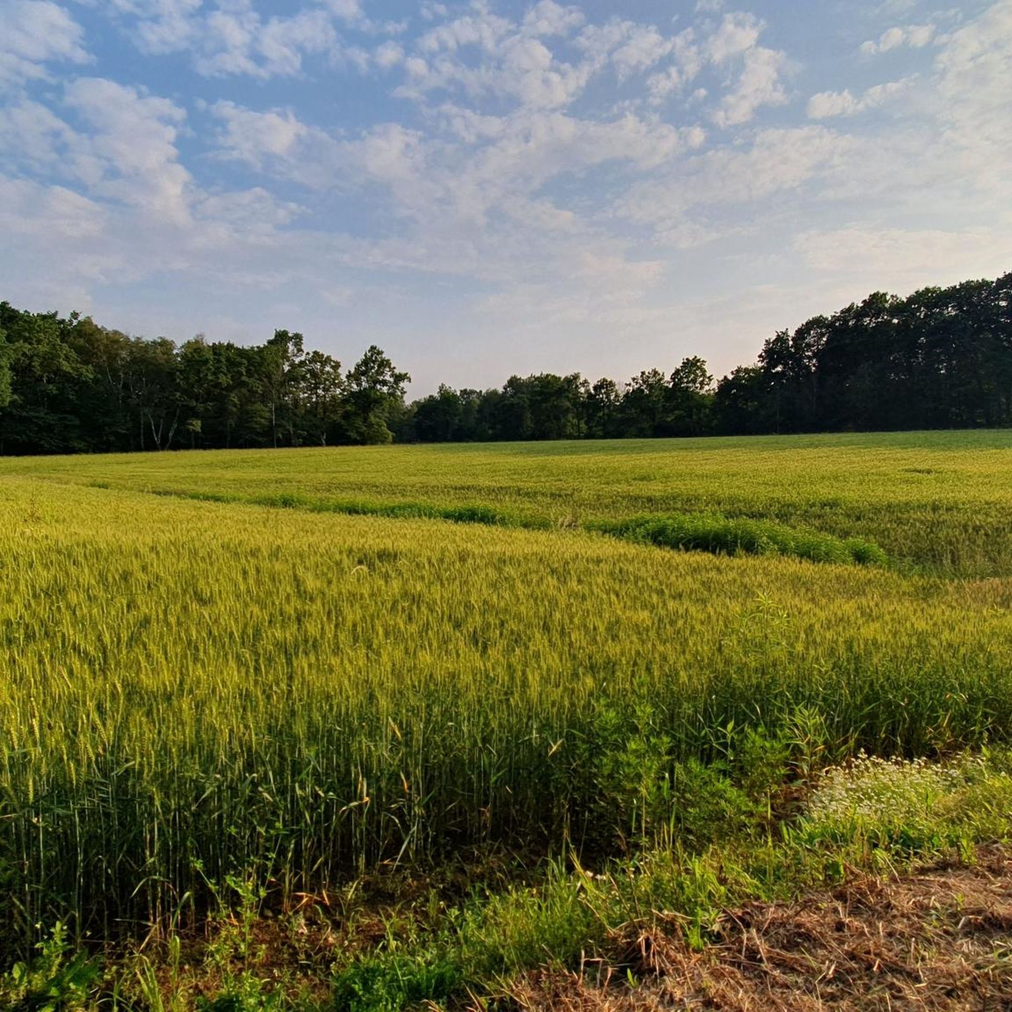
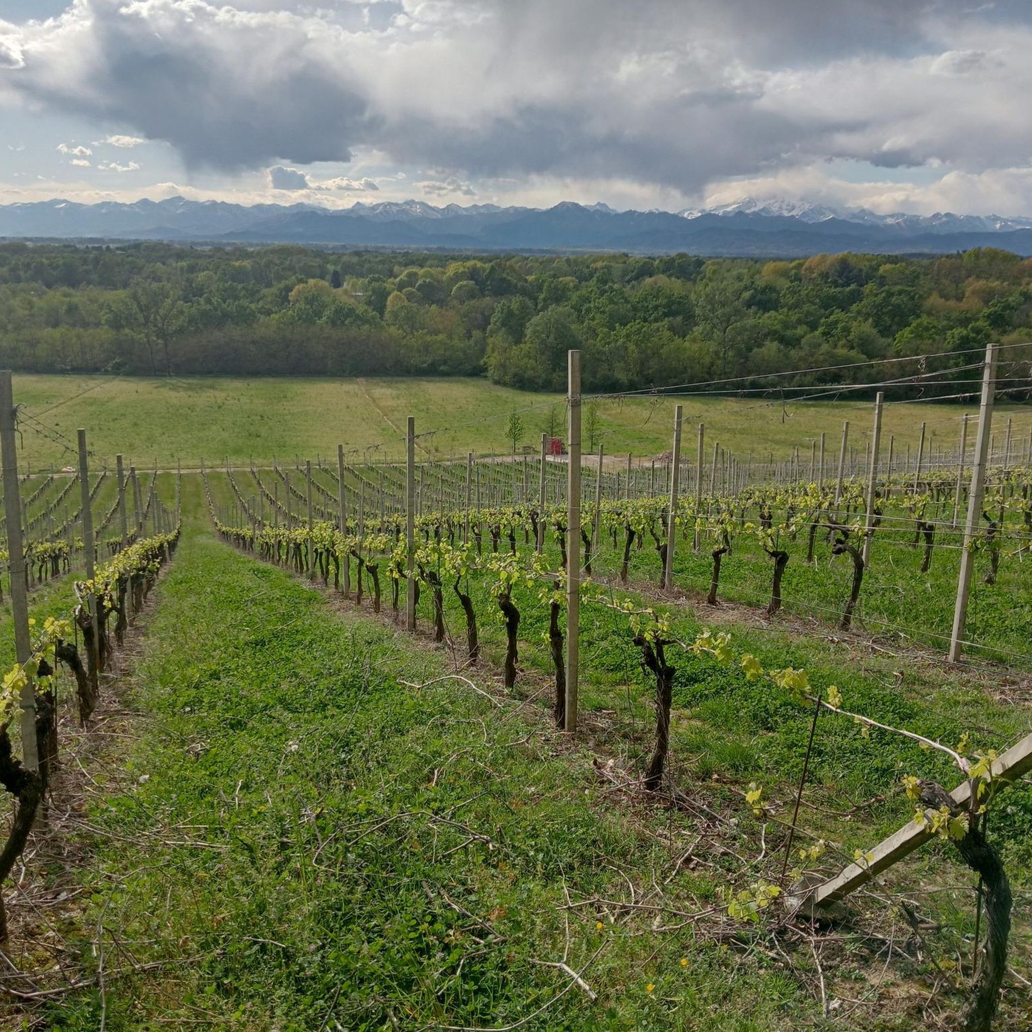

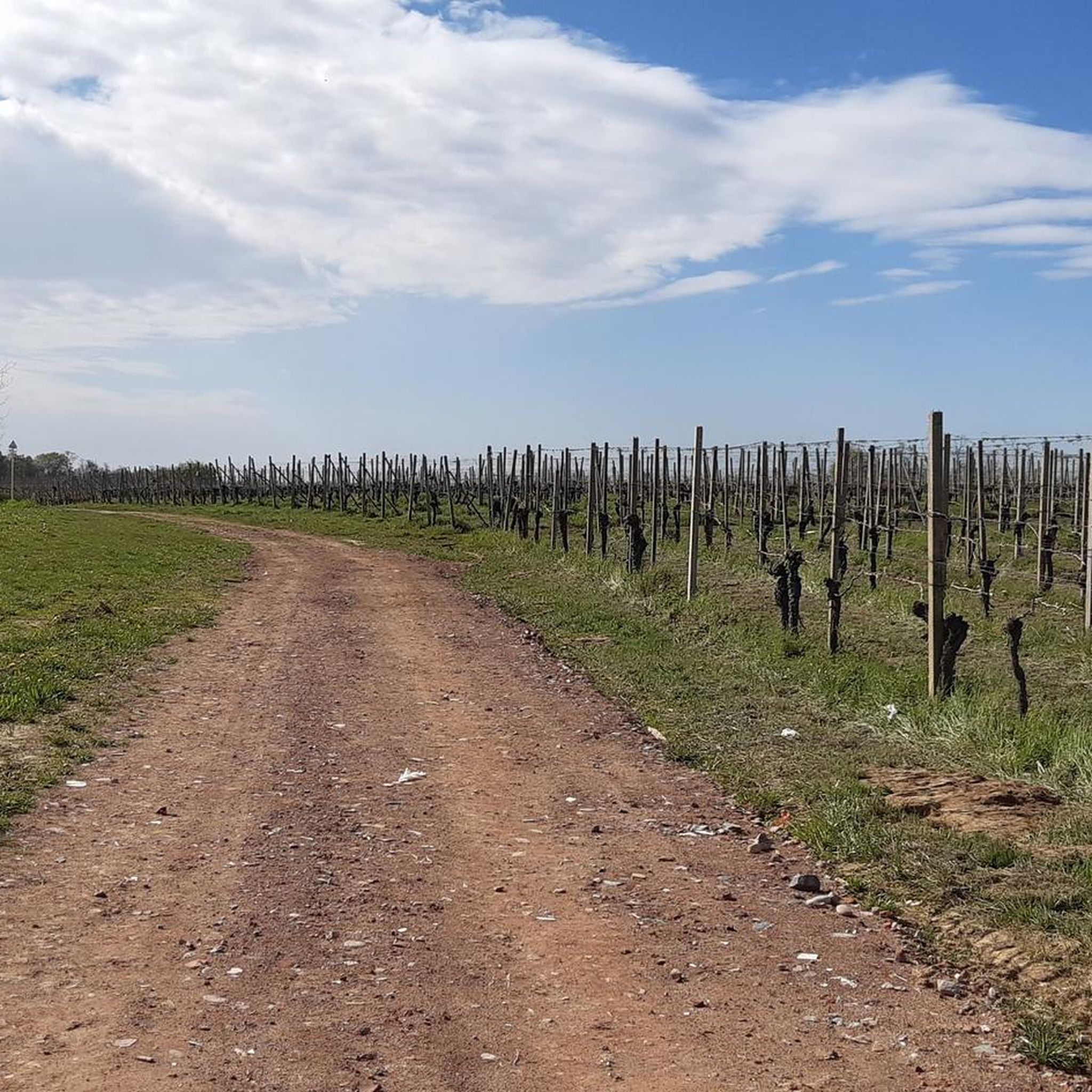
Tips from the Community

Nice passage through the vineyards, reached with a short but intense climb (uneven ground)
0
0

Easy and flat route, accessible to everyone.
1
0

For a trip with the first sunny days it is perfect
1
0

The Castellazzo stands on a hilly terrace, which divides the Agogna valley from that of the Sizzone. This area has been inhabited since the Iron Age: in fact the surface reconnaissance, conducted in August 1997, has returned material from the Proto-Golasecchian age. Info taken from the website of the Municipality of Cureggio, link: https://www.comune.cureggio.no.it/zf/index.php/servizi-aggiuntivi/index/index/idtesto/44 Too bad for the lack of signs or the possibility to freely visit the ruins, in fact it is located on private land.
1
0
Frequently Asked Questions
How many hiking trails are there in Fontaneto D'Agogna?
There are over 240 hiking routes around Fontaneto D'Agogna. These include 77 easy trails, 150 moderate trails, and 22 difficult trails, offering options for various skill levels.
What kind of terrain can I expect on hikes around Fontaneto D'Agogna?
The region is characterized by the varied topography of the Novara Hills, featuring gentle slopes and cultivated fields. You'll find trails winding through rural settings, vineyards, and lush environments influenced by the Agogna and Sizzone rivers. Protected areas like the Lagoni di Mercurago Nature Park offer diverse natural landscapes.
Are there any easy, beginner-friendly hikes in Fontaneto D'Agogna?
Yes, Fontaneto D'Agogna offers many easy trails suitable for beginners. For example, the Castellazzo di Cureggio loop from Cureggio is an easy 3.9-mile (6.3 km) trail that takes about 1 hour 40 minutes to complete, leading through the gentle Novara Hills.
What are some notable landmarks or attractions to see while hiking?
Hikers can explore a variety of historical and natural attractions. You might encounter ancient castles such as Castello di Proh or Castello di Divignano. The region also offers scenic viewpoints like Croce del Teso and La Pelosa Viewpoint, providing panoramic views of the surrounding landscape.
Are there any circular hiking routes available?
Yes, many routes in the area are circular. A popular moderate option is the Ex Colonia Solare – Castellazzo di Cureggio loop from Cureggio, which is 5.3 miles (8.6 km) long and showcases the tranquil Italian countryside. Another is the Squirrel Sign loop from Fontaneto d'Agogna, a moderate 11.5 km route.
What do other hikers enjoy most about hiking in Fontaneto D'Agogna?
The hiking trails around Fontaneto D'Agogna are highly rated by the komoot community, with an average score of 4.4 stars from nearly 600 reviews. Hikers often praise the diverse natural landscapes, the tranquility of the rural settings, and the well-maintained paths that traverse vineyards and gentle hills.
Are there any longer hiking trails for more experienced hikers?
For those seeking longer routes, the Sentiero Novara Trail: Stage 18 is a moderate 7.5-mile (12.1 km) trail that takes approximately 3 hours 10 minutes to complete, traversing through Piedmont vineyards. There are also 22 difficult trails for more challenging experiences.
Can I find trails that pass through natural reserves?
Absolutely. The region is home to protected areas like the Lagoni di Mercurago Nature Park, which features a dense network of trails. Additionally, paths lead into Monte Fenera Park, offering opportunities for exploring more extensive natural environments.
What is the best time of year to go hiking in Fontaneto D'Agogna?
While specific seasonal data isn't provided, the region's cultivated fields and lush environment suggest that spring and autumn would offer pleasant temperatures and vibrant scenery. Summer can be warm, while winter might offer a different, quieter experience, depending on local conditions.
Are there any trails that offer good viewpoints?
Yes, the Novara Hills provide elevated viewpoints. Highlights such as Croce del Teso, La Pelosa Viewpoint, and Motto delle Capretta (680 m) are known for offering scenic vistas of the surrounding landscapes.
Are there any trails near water features like rivers?
The region is situated between the Agogna and Sizzone rivers, which contribute to its lush environment. While specific riverside trails are not detailed, the presence of these rivers suggests opportunities for walks that incorporate water features, enhancing the natural beauty of the area. For example, the Bridge at the Ford loop from Cascinetto is a moderate 8.1 km route that might offer such views.
Most popular routes around Fontaneto D'Agogna
Most popular attractions around Fontaneto D'Agogna

Get inspired with the komoot mobile app


Explore more
Browse the best Hikes in other regions.
