The best walks and hikes around Casalino
4.1
(129)
548
hikers
119
hikes
Hiking around Casalino offers trails through the flat and gently rolling landscapes of the Piedmont region in Italy. The area is characterized by extensive rice paddies, agricultural fields, and the presence of rivers like the Sesia. Elevation changes are minimal, making many routes accessible for various fitness levels. The terrain often includes orchards, olive groves, and scattered woodlands, providing a mix of open and shaded paths.
Best hiking trails around Casalino
- The most popular hiking route is Novara Trail: Stage…
Last updated: May 26, 2026
4.0
(1)
1
hikers
21.8km
05:31
30m
30m
Hike the Novara Trail: Stage 3, a difficult 13.6-mile (21.8 km) route with 104 feet (32 metres) of elevation gain, taking about 5.5 hours.
Peaceful walk through Piedmont's rice paddies and historic villages along ancient country lanes.

Sign up for free
16.0km
04:04
40m
40m
Hike Sentiero Novara Stage 5, a moderate 10.0-mile (16.0 km) route through romantic rural landscapes and agricultural areas in Novara.
4.3
(3)
38
hikers
13.4km
03:25
40m
40m
Moderate hike. Good fitness required. Easily-accessible paths. Suitable for all skill levels.
4.0
(2)
14
hikers
Hard hike. Very good fitness required. Easily-accessible paths. Suitable for all skill levels.
Get access to more routes and recommendations from other explorers.
Sign up for free
Already have an account?
Our route recommendations are based on thousands of hikes, rides, and runs completed by other people on komoot.
Start today with a free account
Your next adventure awaits.
Login or Signup

Tips from the Community


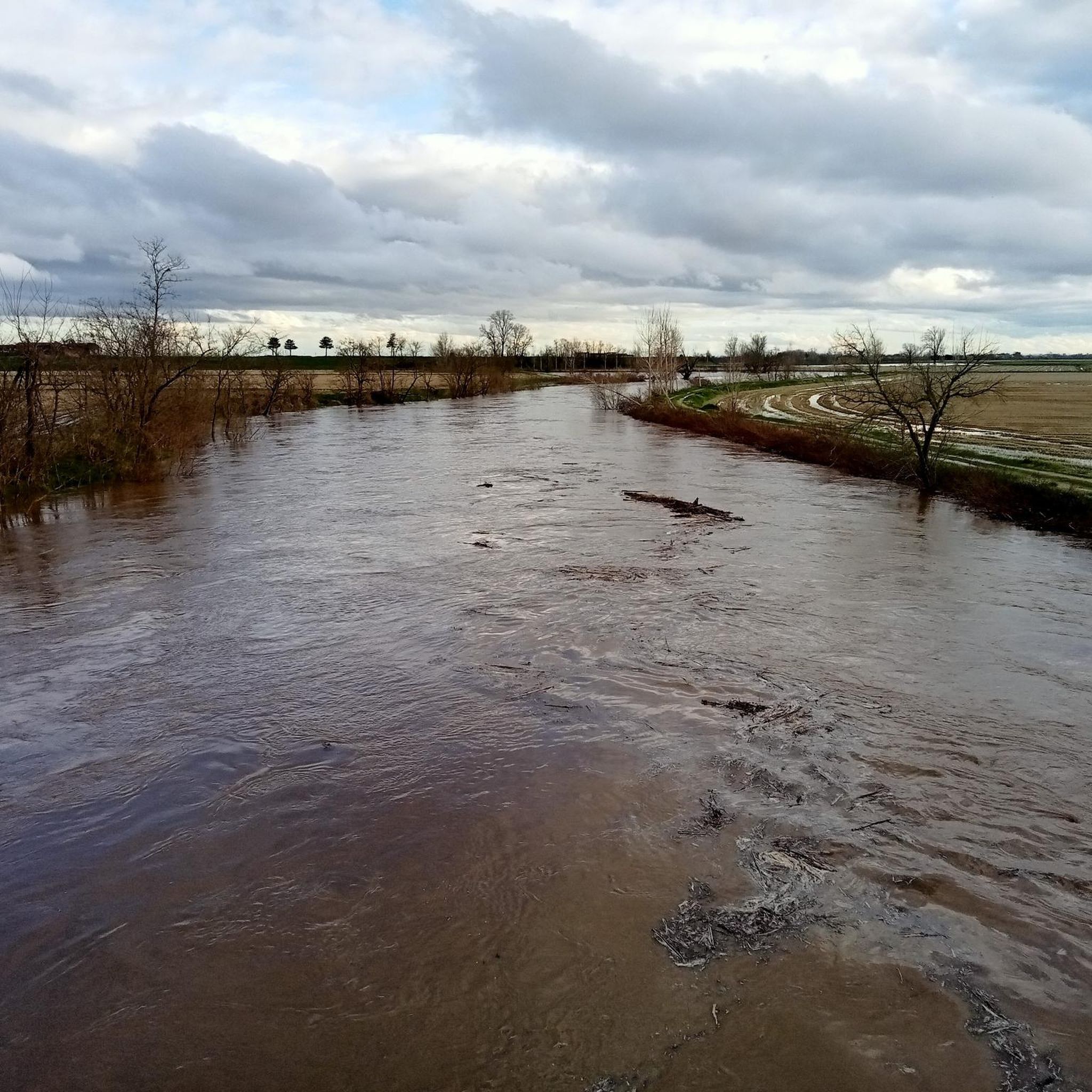
The work 🚧 is finished, and now the bridge is passable again. The previous stretch is often muddy 💩 after the rains.
0
1

A water source runs through the church underground. Looking at the facade, on the right you can see the water flowing. Inside, behind the altar, you can see the underground source.
0
0

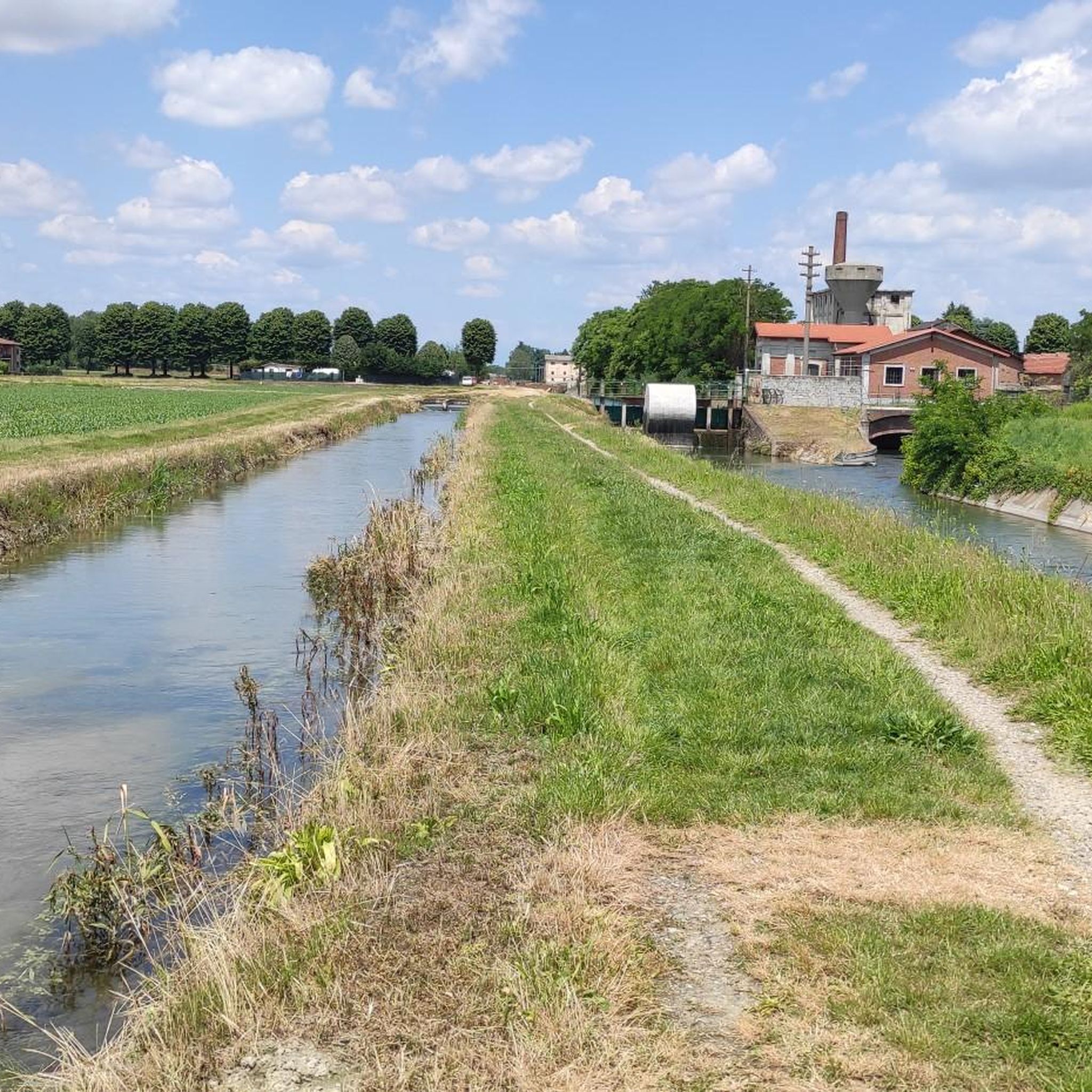
"Ponte ciclopedonale sul Cavo Crocettone" The Ponte ciclopedonale sul Cavo Crocettone in Vercelli, Italy, is a bicycle and pedestrian bridge. This bridge provides a safe passage for both cyclists and pedestrians and is ideal for relaxing walks or bike rides. There is (was) even a rest area at the bridge, perfect for a picnic break, which is now overgrown. The Via Francigena passes here. The bridge is now in a rather pitiful state. But it still does its job.
6
1
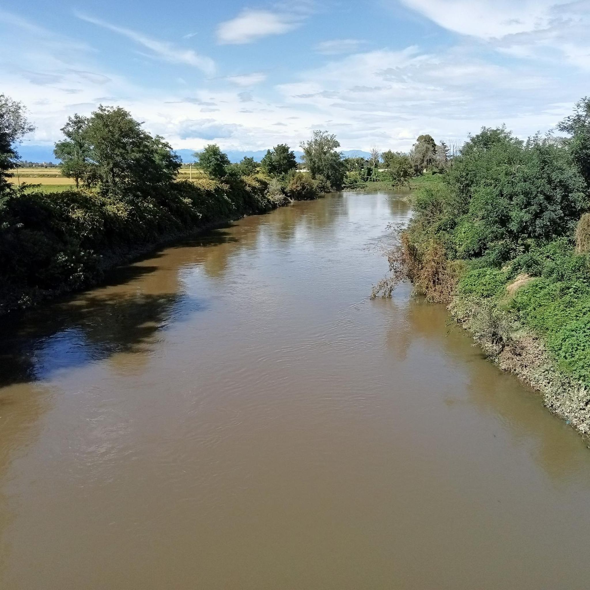
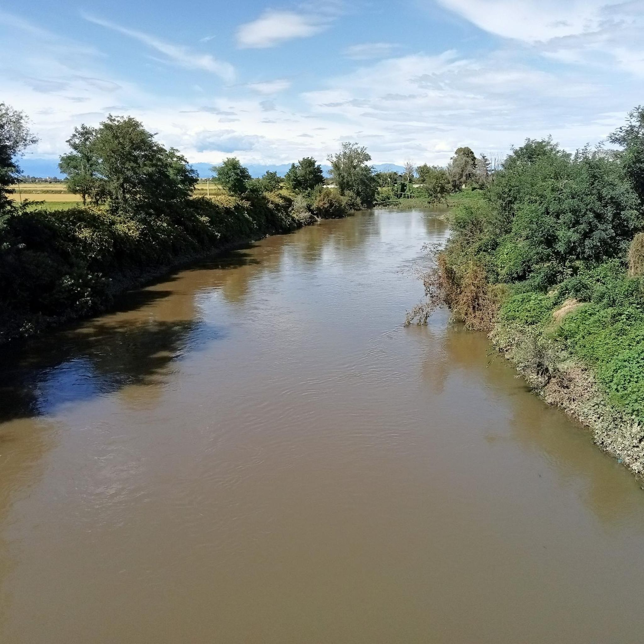
The Sesia, a majestic river, flows through Vercelli. This waterway has a rich history and plays a crucial role in the landscape of the Piedmont region. The Sesia is surrounded by rice fields that are flooded in summer, and it is a popular destination for canoeing and kayaking enthusiasts and hikers. The Sesia Valley, also known as the “greenest valley in Italy”, attracts countless nature lovers and adventurers every year.
6
0

The banks of the Sesia river have dirt roads perfect for Gravel or MTB XC.
1
0

Palestro was successively settled by the Celts, Etruscans and Romans, but is first mentioned in 999, when it was founded by Otto III. was handed over to the Bishop of Vercelli. The place was conveniently located on the Via Francigena and was fortified in the Middle Ages. In the 14th century it came into the possession of the Visconti, then fell to the Borromeo family and came under Spanish rule in 1500. From 1714 Palestro belonged to Austria. At Vinzaglio and Palestro at the end of May 1859, during the Second Italian War of Independence, there were battles between Piedmontese and French units on the one hand and Austrian forces on the other. The Austrians were forced to retreat towards Milan. They suffered a heavy defeat at the Battle of Magenta. Source: Wikipedia
1
0
The Sesia (Walser German female: Seeschera) is a river in Italy. It rises in the glaciers of the Monte Rosa massif, in the upper Valsesia valley above the municipality of Alagna Valsesia. In the upper section, the Sesia bears the clear characteristics of a torrent. There it receives numerous smaller streams, most of which come from the Valgrande glaciers. It receives numerous inflows along its course; on the right side of the Valsesia are the streams Olen, Otro, Vogna, Artogna, Zorba and Egna; on the left the Torrente Sermenza and the Mastallone. The Sesia flows for a total of 138 kilometers through the towns of Borgosesia, Greggio and Vercelli before flowing into the Po. It forms the border between Piedmont and Lombardy. In the region around Arborio and Vercelli it serves as a source of water for rice cultivation. A minority language of Piedmont is Walser German - an Alemannic dialect spoken in the upper Sesia/Seeschera valley. Source: Wikipedia
1
0
Frequently Asked Questions
How many hiking trails are available around Casalino?
There are over 100 hiking trails around Casalino, offering a wide range of options for different abilities and preferences. The area is known for its flat and gently rolling landscapes, characterized by extensive rice paddies and agricultural fields.
What types of terrain can I expect on hikes in Casalino?
Hikes in Casalino primarily feature flat and gently rolling terrain, with minimal elevation changes. You'll encounter extensive rice paddies, agricultural fields, and paths alongside rivers like the Sesia. The landscape also includes orchards, olive groves, and scattered woodlands, providing a mix of open and shaded sections.
Are there any easy or family-friendly hiking routes in Casalino?
Yes, Casalino offers many easy and family-friendly options. Over half of the routes, 58 to be exact, are classified as easy, making them suitable for various fitness levels and families. These trails often traverse the flat agricultural landscape, providing pleasant walks without significant challenges.
Can I bring my dog on the hiking trails in Casalino?
Many trails in Casalino are suitable for dogs, especially given the generally flat and open nature of the landscape. However, it's always recommended to keep dogs on a leash, particularly when passing through agricultural areas or near livestock, and to check specific trail regulations if available.
What are some notable landmarks or attractions to see while hiking in Casalino?
While hiking around Casalino, you can explore several historical and natural attractions. Consider visiting the impressive Visconti-Sforza Castle (Novara) or the charming Casalino Castle. Nature lovers might enjoy the Lame del Sesia Natural Park or the historic Cavour Canal.
Are there any circular hiking routes in the Casalino area?
Yes, there are several circular routes available. For example, the Giardino del Mondo, Novara loop from Torrion Quartara is a moderate 13.4 km trail that allows you to start and end in the same location, offering a convenient way to explore the local scenery.
What is the best time of year to go hiking in Casalino?
The best time to hike in Casalino is generally during spring and autumn when the weather is mild and pleasant. Spring brings lush greenery to the rice paddies, while autumn offers comfortable temperatures and often beautiful colors. Summer can be hot, but the flat terrain and scattered woodlands can still provide enjoyable early morning or late afternoon walks.
How long do hikes around Casalino typically take?
Hike durations vary significantly depending on the route and your pace. Many easy walks can be completed in 1-2 hours. Moderate trails like From Orfengo to Granozzo through Piedmont rice paddies take around 4 hours, while more challenging routes such as Novara Trail: Stage 3 can take up to 5.5 hours.
What do other hikers say about the trails in Casalino?
The trails in Casalino are highly regarded by the komoot community, with an average rating of 4.2 stars from over 120 reviews. Hikers often praise the unique experience of walking through the extensive rice paddies, the peaceful agricultural landscapes, and the accessibility of many routes for various skill levels.
Are there any cafes or places to eat near the hiking routes?
While specific cafes directly on every trail are not guaranteed, the region around Casalino, particularly in nearby towns and villages, offers various dining options. You'll find local trattorias and cafes where you can enjoy traditional Piedmontese cuisine and refreshments after your hike.
Is public transport available to access hiking trailheads in Casalino?
Public transport options to specific trailheads in rural areas like Casalino can be limited. It's advisable to check local bus schedules or consider driving to access the starting points of many hiking routes. Parking is generally available in or near the villages where trails begin.
Are there any challenging long-distance hikes in Casalino?
Yes, for those seeking a greater challenge, Casalino offers some longer and more demanding routes. The Novara Trail: Stage 3, for instance, is a difficult 21.8 km trail that takes approximately 5 hours 30 minutes to complete, traversing the agricultural landscape of the Novara province.
Most popular attractions around Casalino

Get inspired with the komoot mobile app


Explore more
Browse the best Hikes in other regions.
