The best walks and hikes around Cavaglio D'Agogna
4.4
(500)
2,117
hikers
166
hikes
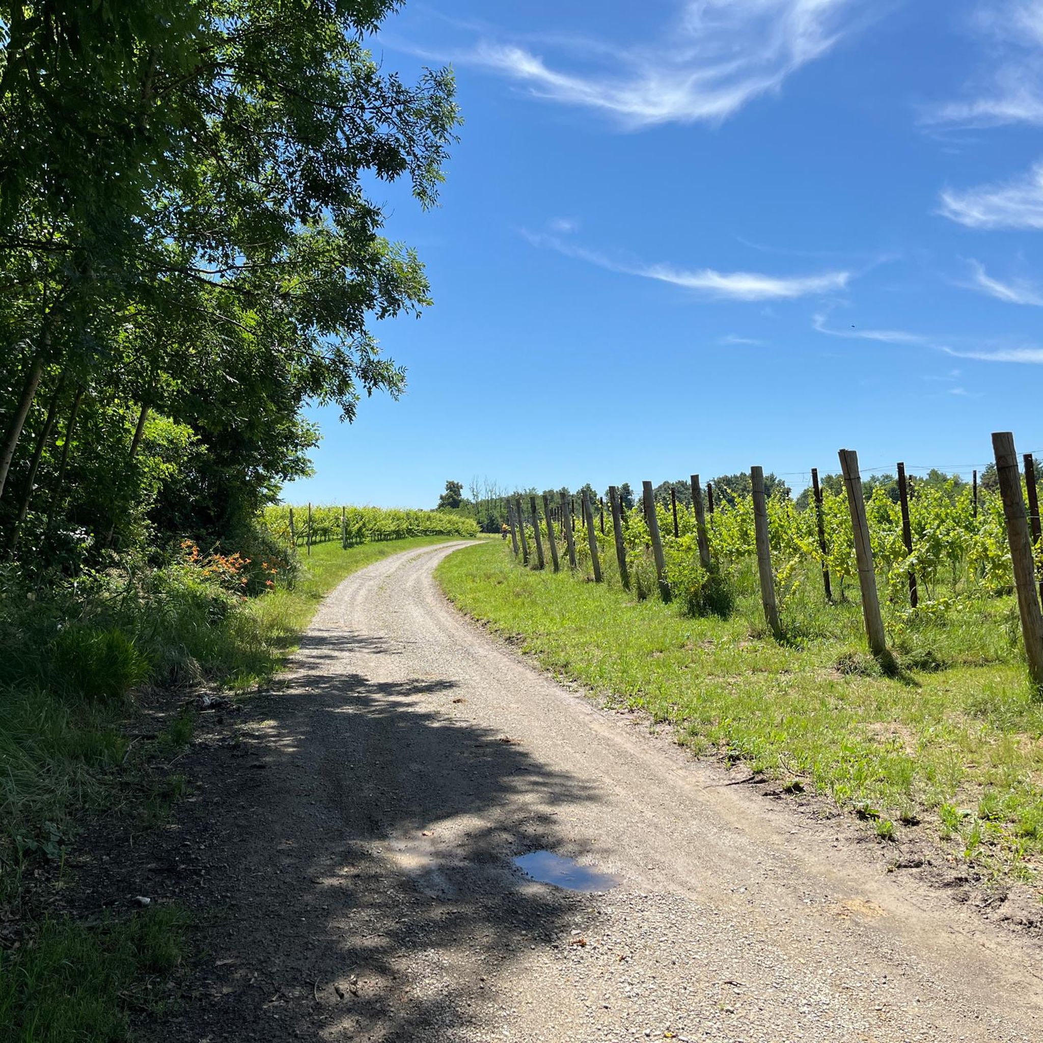
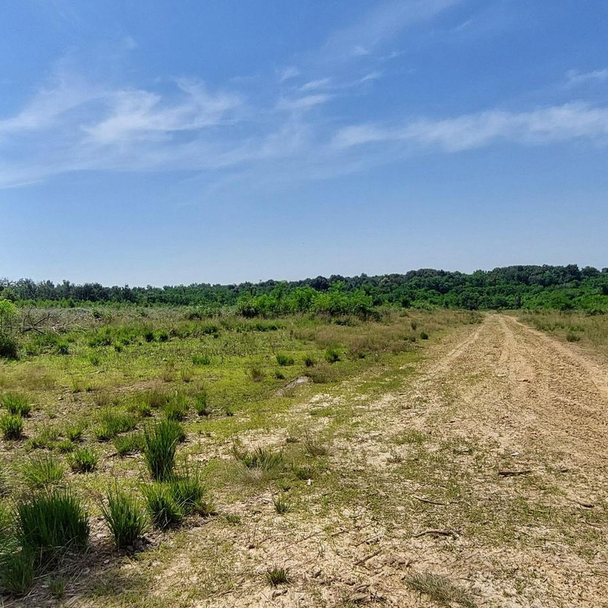
Hiking around Cavaglio D'Agogna offers routes through a landscape characterized by gentle rolling hills and extensive agricultural areas, particularly vineyards. The terrain features a network of paths that wind through cultivated fields, small woodlands, and alongside local waterways. This region provides accessible hiking experiences with modest elevation changes, suitable for various activity levels.
Best hiking trails around Cavaglio D'Agogna
- The most popular hiking route is Vineyard of the Giant Pencils – Castello di Proh loop from Barengo, a 7.2…
Last updated: August 25, 2026
4.5
(6)
18
hikers
Moderate hike. Good fitness required. Easily-accessible paths. Suitable for all skill levels.
4.4
(5)
8
hikers
11.5km
02:58
60m
60m
Moderate hike. Good fitness required. Easily-accessible paths. Suitable for all skill levels.

Sign up for free
4.1
(7)
15
hikers
11.5km
03:02
110m
110m
Moderate hike. Good fitness required. Easily-accessible paths. Suitable for all skill levels.
5.0
(1)
10
hikers
5.90km
01:37
90m
90m
Easy hike. Great for any fitness level. Easily-accessible paths. Suitable for all skill levels.
5.0
(1)
7
hikers
10.3km
02:46
130m
130m
Moderate hike. Good fitness required. Easily-accessible paths. Suitable for all skill levels.
Get access to more routes and recommendations from other explorers.
Sign up for free
Already have an account?
Our route recommendations are based on thousands of hikes, rides, and runs completed by other people on komoot.
Start today with a free account
Your next adventure awaits.
Login or Signup


Tips from the Community

The path lies exactly next to the chicken coop downhill and leads to a washed-out streambed. Slippery!!!
0
0

To stop and visit, a spectacular castle and almost unknown to many...it deserves a short stop also for the photographs
0
0

Easy and flat route, accessible to everyone.
1
0

Going there is a duty to welcome you and give you a perfect postcard and then you can have fun with fast routes
1
0
For a trip with the first sunny days it is perfect
1
0

The Oratory is a church belonging to the Bianchi family which stands isolated in the hills above Sizzano
0
0
The pro castle was part of the defensive complex built during the 12th century by the counts of Biandrate.
1
0
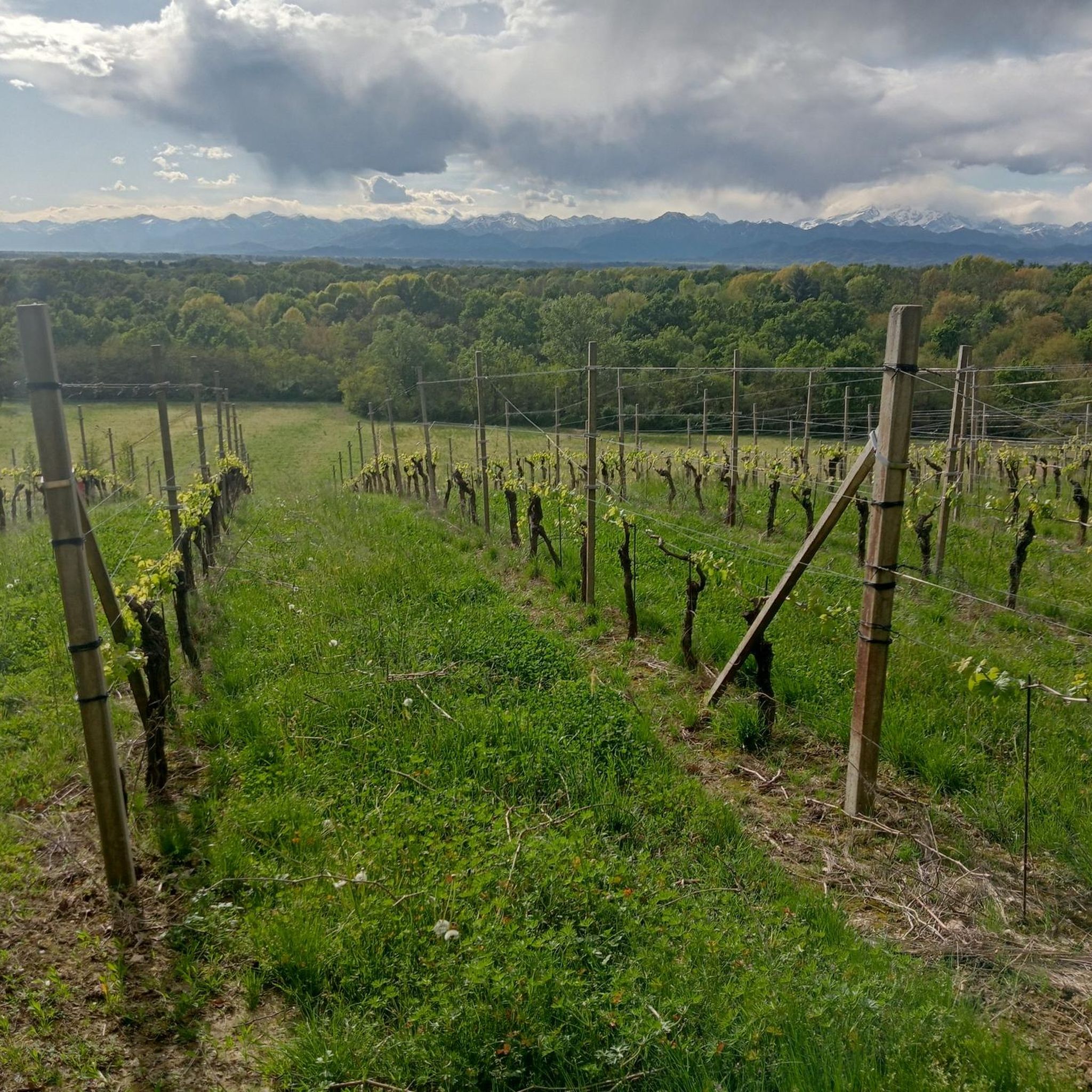
We are on the Novara hills. This is the name commonly used to identify the hilly area of the province of Novara. Located north of the capital, in the central part of the province, it is bordered by the Sesia rivers to the west and the Ticino rivers to the east and borders the Vergante to the north. The altitude is between 190 and 470 m above sea level.
2
0
Frequently Asked Questions
How many hiking trails are there in Cavaglio D'Agogna?
There are over 150 hiking routes available around Cavaglio D'Agogna on komoot, offering a wide range of experiences for different fitness levels.
Are there easy hiking trails suitable for beginners or families in Cavaglio D'Agogna?
Yes, Cavaglio D'Agogna offers a good selection of easy trails. With 46 routes classified as easy, you'll find paths suitable for beginners or family outings. A good option is the Hiking loop from Sizzano, which is just under 6 km and leads through open countryside.
What kind of landscape can I expect while hiking around Cavaglio D'Agogna?
The region is characterized by gentle rolling hills and extensive agricultural areas, particularly vineyards. You'll find paths winding through cultivated fields, small woodlands, and alongside local waterways, offering accessible hiking with modest elevation changes.
Are there any circular walks available in Cavaglio D'Agogna?
Yes, many routes in the area are designed as loops. For example, the Vineyard of the Giant Pencils – Castello di Proh loop from Barengo is a popular moderate circular trail that explores local vineyards and historical points of interest.
What interesting landmarks or attractions can I see near the hiking trails?
The region is dotted with historical sites. You can explore various castles, such as the impressive Castello di Proh, or the charming Castello di Divignano. These often provide scenic backdrops or points of interest along your hike.
Are there any dog-friendly walks in Cavaglio D'Agogna?
Many of the trails through the rural landscape and woodlands are suitable for walking with dogs. It's always advisable to keep your dog on a leash, especially when passing through agricultural areas or near livestock, and to check local regulations for specific routes.
What do other hikers enjoy the most about hiking in Cavaglio D'Agogna?
The area is highly rated by the komoot community, with an average score of 4.4 stars from over 380 reviews. Reviewers often praise the peaceful rural scenery, the well-maintained paths through vineyards, and the accessibility of routes for various fitness levels.
Are there any less crowded trails for a more tranquil hiking experience?
Given the extensive network of paths through agricultural fields and small hamlets, it's possible to find quieter routes, especially during weekdays or outside of peak tourist seasons. Trails like the Squirrel Sign loop from Fontaneto d'Agogna offer scenic views of the rural landscape and pass through quiet areas.
What is the best time of year to go hiking in Cavaglio D'Agogna?
Spring and autumn are generally ideal for hiking in Cavaglio D'Agogna. The weather is mild, and the landscapes are particularly beautiful, with blooming fields in spring and vibrant colors during the grape harvest season in autumn. Summer can be warm, so early morning or late afternoon hikes are recommended.
Are there any moderate hiking options for those looking for a bit more challenge?
Yes, the majority of routes in Cavaglio D'Agogna are classified as moderate, with 95 such trails available. These typically involve longer distances and slightly more varied terrain, such as the Casa Serrano – Bridge at the Ford loop from Ghemme, which covers over 10 km.
Is parking available at the trailheads in Cavaglio D'Agogna?
Parking is generally available in or near the villages and towns that serve as starting points for many trails. Specific parking information can often be found in the details of individual komoot tours, or by checking local signage upon arrival.
Can I access hiking trails in Cavaglio D'Agogna using public transport?
While some villages in the area may have limited public transport connections, many trailheads are more easily accessible by car. It's recommended to check local bus schedules for specific starting points if you plan to rely on public transport.
Most popular routes around Cavaglio D'Agogna
Most popular attractions around Cavaglio D'Agogna

Get inspired with the komoot mobile app


Explore more
Browse the best Hikes in other regions.
