The best walks and hikes around Varallo Pombia
4.3
(1862)
9,591
hikers
430
hikes
Hiking around Varallo Pombia offers diverse natural landscapes within Italy's Piedmont region. The area is characterized by the Ticino River Valley, featuring wooded hills of Scots pine, oak, and birch, alongside wider valleys shaped by the river's course. Extensive woodlands, including those near the "cascine Chisvoi" farmhouses, and the Lagoni di Mercurago Natural Park with its peat bogs and meadows, contribute to the varied terrain. The Panperduto Dam is a notable landmark where canals originate.
Best hiking trails around Varallo…
Last updated: July 10, 2026
4.2
(13)
33
hikers
14.6km
03:48
90m
100m
Moderate hike. Good fitness required. Easily-accessible paths. Suitable for all skill levels.
3.8
(4)
10
hikers
12.8km
03:20
90m
90m
Moderate hike. Good fitness required. Easily-accessible paths. Suitable for all skill levels.

Sign up for free
4.1
(10)
145
hikers
4.22km
01:07
40m
40m
Easy hike. Great for any fitness level. Easily-accessible paths. Suitable for all skill levels.
4.3
(24)
95
hikers
15.2km
03:57
100m
100m
Moderate hike. Good fitness required. Easily-accessible paths. Suitable for all skill levels.
4.0
(9)
81
hikers
4.60km
01:13
40m
40m
Easy hike. Great for any fitness level. Easily-accessible paths. Suitable for all skill levels.
Get access to more routes and recommendations from other explorers.
Sign up for free
Already have an account?
Our route recommendations are based on thousands of hikes, rides, and runs completed by other people on komoot.
Start today with a free account
Your next adventure awaits.
Login or Signup

Tips from the Community

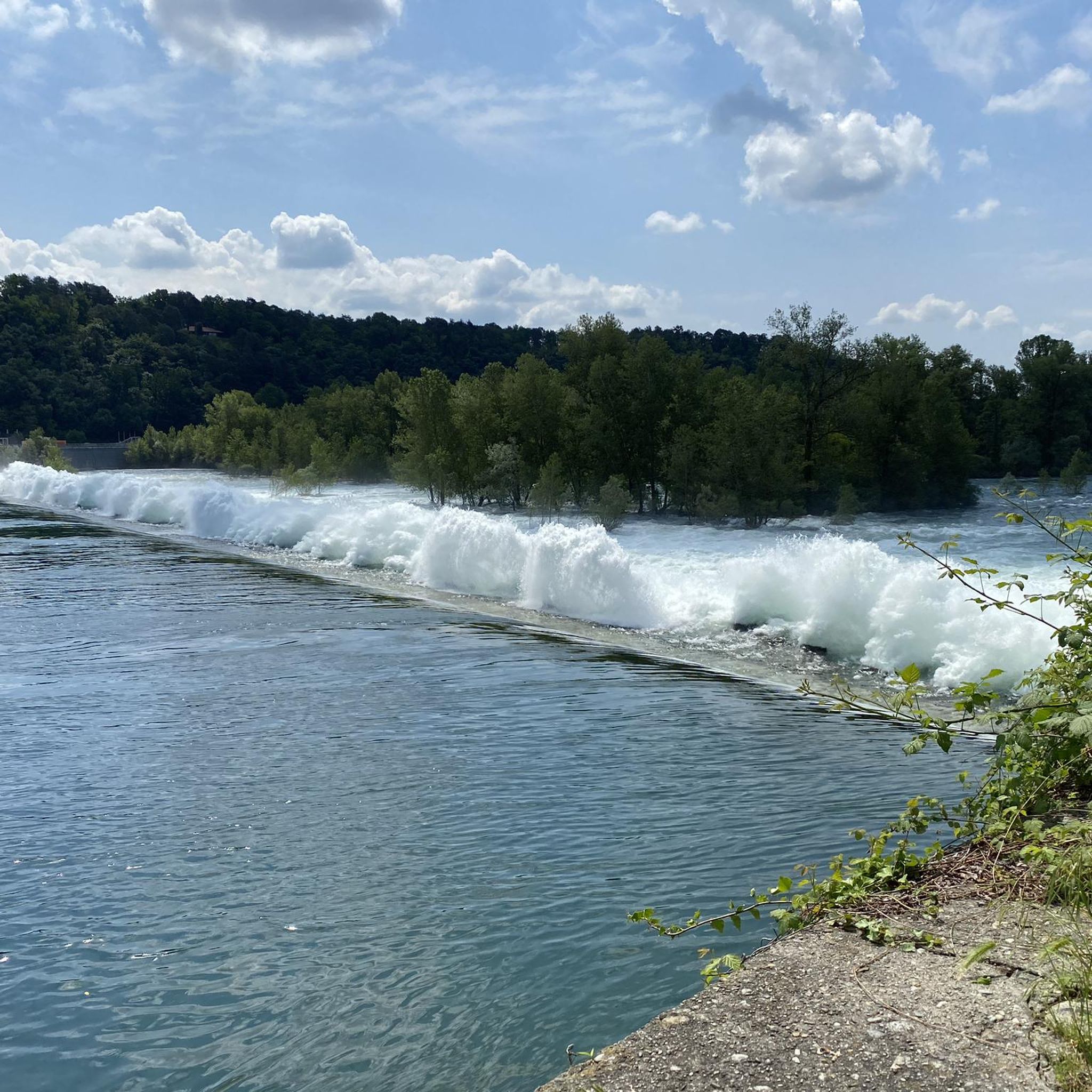
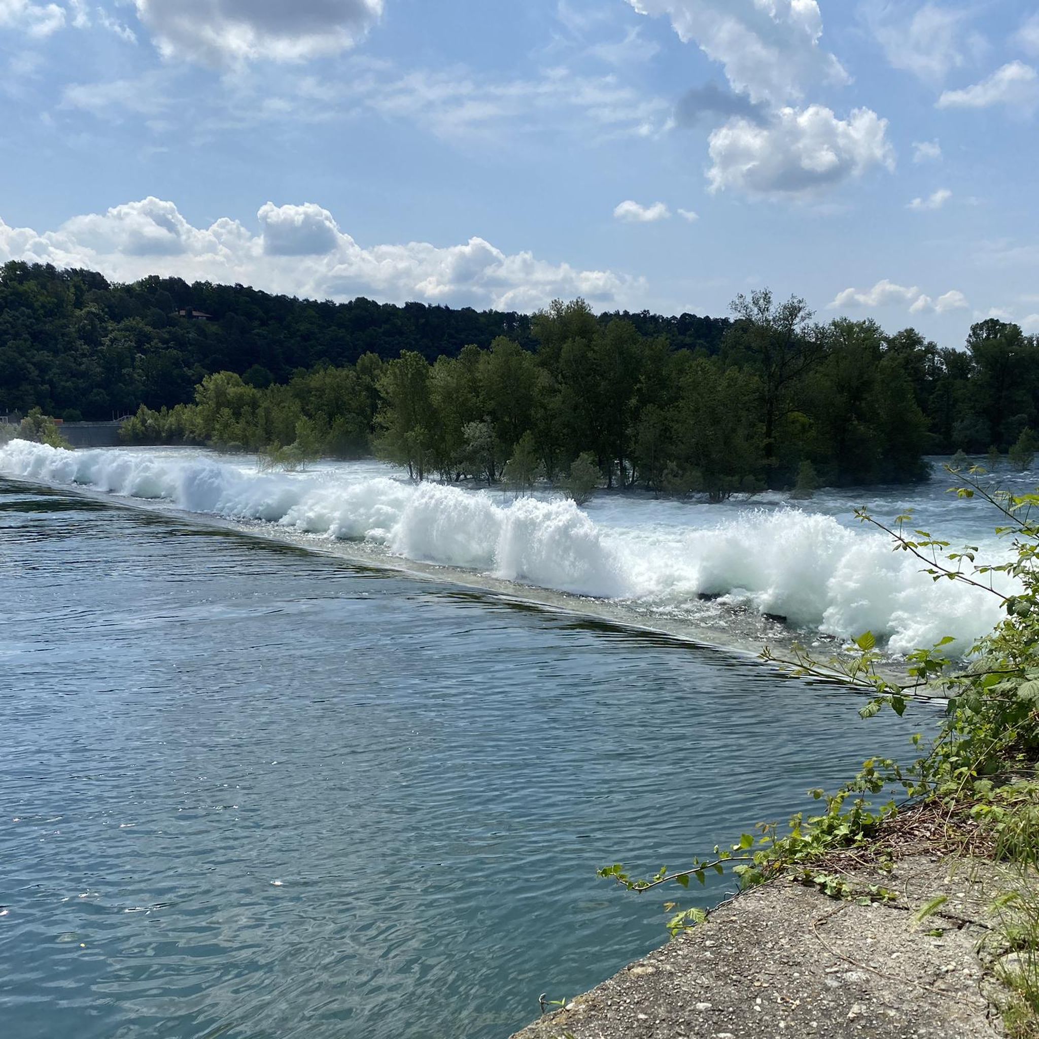
The unique name "Panperduto" derives mainly from the local dialect and ancient stories related to river navigation before the construction of the dam. In the past, commercial barges carrying goods or stones often collided with the rapids and rocky riverbeds of this stretch of the river, ending up capsizing and losing their entire cargo. This meant the loss of the entire day's work and the earnings needed to buy food, hence the saying "we lost the bread" (hence Panperduto).
0
0
La Diga del Panperduto (or rather, the Dighe del Panperduto) is one of Lombardy's most important and fascinating hydraulic junctions, located on the Ticino river in the municipality of Somma Lombardo, in the province of Varese. This monumental complex of hydraulic engineering dates back to the late 19th century (inaugurated in 1884) and mainly serves to divert the waters of the Ticino to feed two fundamental artificial canals: Villoresi Canal: used for irrigation purposes, guaranteeing water for over 100,000 hectares of agricultural land in the Po Valley. Industrial Canal: fundamental for the production of hydroelectric energy through various power plants in the area.
0
0

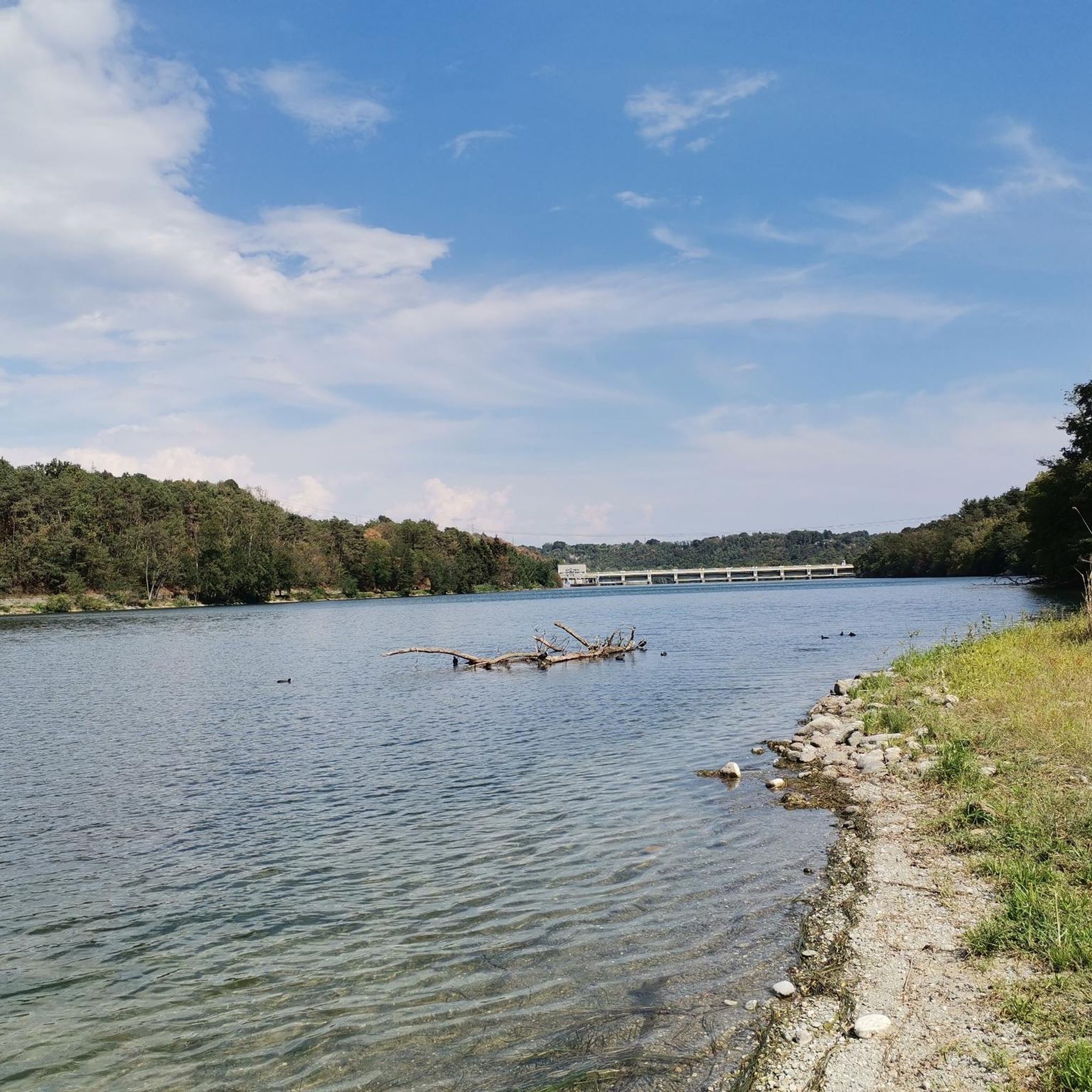
The Villoresi Canal flows north of Milan for 86 km. It originates from the Panperduto Dams on the Ticino River and continues to the Adda River, where it flows near Cassano d’Adda, in the Groppello area. From there, its waters are channeled, as needed, into the Adda or the Naviglio Martesana via a special structure. Along its course, the canal meets several natural watercourses – the Lambro, Olona, and Seveso among the best known – with which water exchange can occur, if necessary. The network, which branches off from the main canal like capillaries of a system that distributes water to the most remote areas, consists of 22 diversion canals, with a total length of 120 km, and 270 branch canals, winding for over 800 km. There are also collector canals – over 30 km in total length – which receive water not absorbed by the land during irrigation and/or collect rainwater. Also noteworthy is the system's water flow: the total water volume indeed exceeds, on average, 500 million m3 per year. Recently, navigation has also been rediscovered on the Villoresi; the canal's waters also feed 4 hydroelectric plants in the Municipality of Monza.
0
0

the view is always fascinating!
2
0

It was a late 19th-century engineer, Eugenio Villoresi, son of the director of the gardens of Villa Reale in Monza, who envisioned extending the irrigation of the fields upstream from this imaginary line. He therefore designed a long canal connecting Lake Maggiore to the Adda River, using its waters to distribute, for a fee, to all the fields between the canal and the fountain line. Obtaining the government concession and securing the project's financing was certainly no easy feat; Villoresi did not see its completion, which took place in 1890, 11 years after his death.
2
0

exactly from here begins the long route of the Naviglio and Villoresi canals from the Ticino river basin regulated by the splendid Panperduto dam.
1
0

Historic building with the possibility of guided tours
0
0

a dam that delimits the beginning of the Villoresi Canal and the power station canal which then leads to the Naviglio Grande
2
0
Frequently Asked Questions
How many hiking trails are available in Varallo Pombia?
Varallo Pombia offers a wide selection of hiking opportunities, with over 400 routes available. These range from easy strolls to more challenging treks, catering to various fitness levels.
Are there easy hiking trails suitable for beginners or families in Varallo Pombia?
Yes, Varallo Pombia has over 200 easy hiking routes. A good option for a relaxed walk is the Pan Perduto Dam – Panperduto Dam loop from Viscontina, which is 7.4 km long and typically takes under two hours to complete. This area is known for its gentle terrain and scenic views.
What kind of landscapes can I expect to see while hiking in Varallo Pombia?
Hiking in Varallo Pombia immerses you in diverse natural landscapes. You'll encounter the scenic Ticino River Valley with its wooded hills of Scots pine, oak, and birch. The area also features extensive woodlands, including those near the 'cascine Chisvoi' farmhouses, and the protected Lagoni di Mercurago Natural Park, known for its peat bogs and meadows.
Are there any circular hiking routes in Varallo Pombia?
Yes, many routes in Varallo Pombia are circular. Popular loop tours include From the Panperduto dam to the Ansa di Castelnovate – loop tour, which explores the area around the Panperduto Dam and the Ticino River, and From Pombia along the Ticino – loop tour, offering scenic views along the river.
What are some notable landmarks or points of interest to see on a hike?
A significant landmark is the Panperduto Dam, where the Naviglio and Villoresi canals originate. You can also explore the Lagoni di Mercurago Nature Park, a protected area with unique peat bogs and meadows. The Belvedere of Tornavento offers panoramic views over the Ticino Valley and the Alps.
What is the best time of year to go hiking in Varallo Pombia?
The region's diverse landscapes, from river valleys to woodlands, are enjoyable throughout much of the year. Spring and autumn offer pleasant temperatures and vibrant scenery, while summer can be ideal for exploring the shaded woodland trails. Winter hiking is also possible, though conditions may vary.
Are there any dog-friendly hiking trails in the area?
Many of the natural trails and paths in the Ticino River Valley and surrounding woodlands are suitable for walking with dogs, provided they are kept under control. Always check local regulations for specific protected areas like the Lagoni di Mercurago Nature Park, but generally, the region is welcoming to hikers with canine companions.
What do other hikers say about the trails in Varallo Pombia?
The hiking routes in Varallo Pombia are highly regarded by the komoot community, holding an average score of 4.3 stars from over 2,000 reviews. Hikers frequently praise the area's natural beauty, the variety of landscapes, and the well-maintained trails, particularly those along the Ticino River and around the Panperduto Dam.
Are there any challenging or difficult hikes in Varallo Pombia?
While the majority of routes are easy or moderate, there are a few more challenging options available. The region offers 8 difficult trails for experienced hikers seeking a greater physical test. These routes typically feature longer distances or more varied terrain.
Can I find trails that follow the Ticino River?
Absolutely. The Ticino River is a central feature of the region, and many trails run alongside it, offering picturesque views of the river's course and its surrounding varied landscapes. The From Pombia along the Ticino – loop tour is a prime example of a route that closely follows the river.
Are there any natural parks or reserves I can explore on foot?
Yes, the Lagoni di Mercurago Nature Park is a significant protected area with a dense network of hiking trails. This reserve is known for its unique peat bogs, meadows, and diverse flora and fauna. Additionally, the wider Parco Naturale Valle del Ticino offers extensive areas for exploration.
What is the typical duration for a moderate hike in Varallo Pombia?
Moderate hikes in Varallo Pombia can vary in length and duration. For example, the From the Panperduto dam to the Ansa di Castelnovate – loop tour is about 14.6 km and typically takes around 3 hours and 48 minutes to complete.
Most popular routes around Varallo Pombia
Most popular attractions around Varallo Pombia

Get inspired with the komoot mobile app


Explore more
Browse the best Hikes in other regions.
