The best walks and hikes around Quarona
4.4
(1078)
4,633
hikers
39
hikes
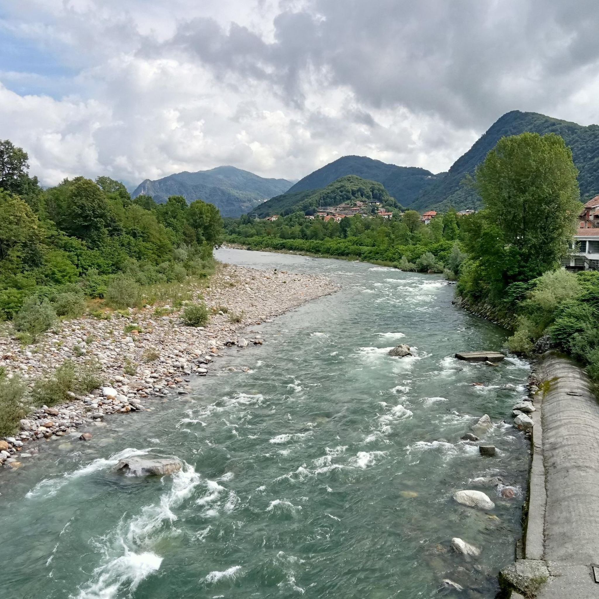
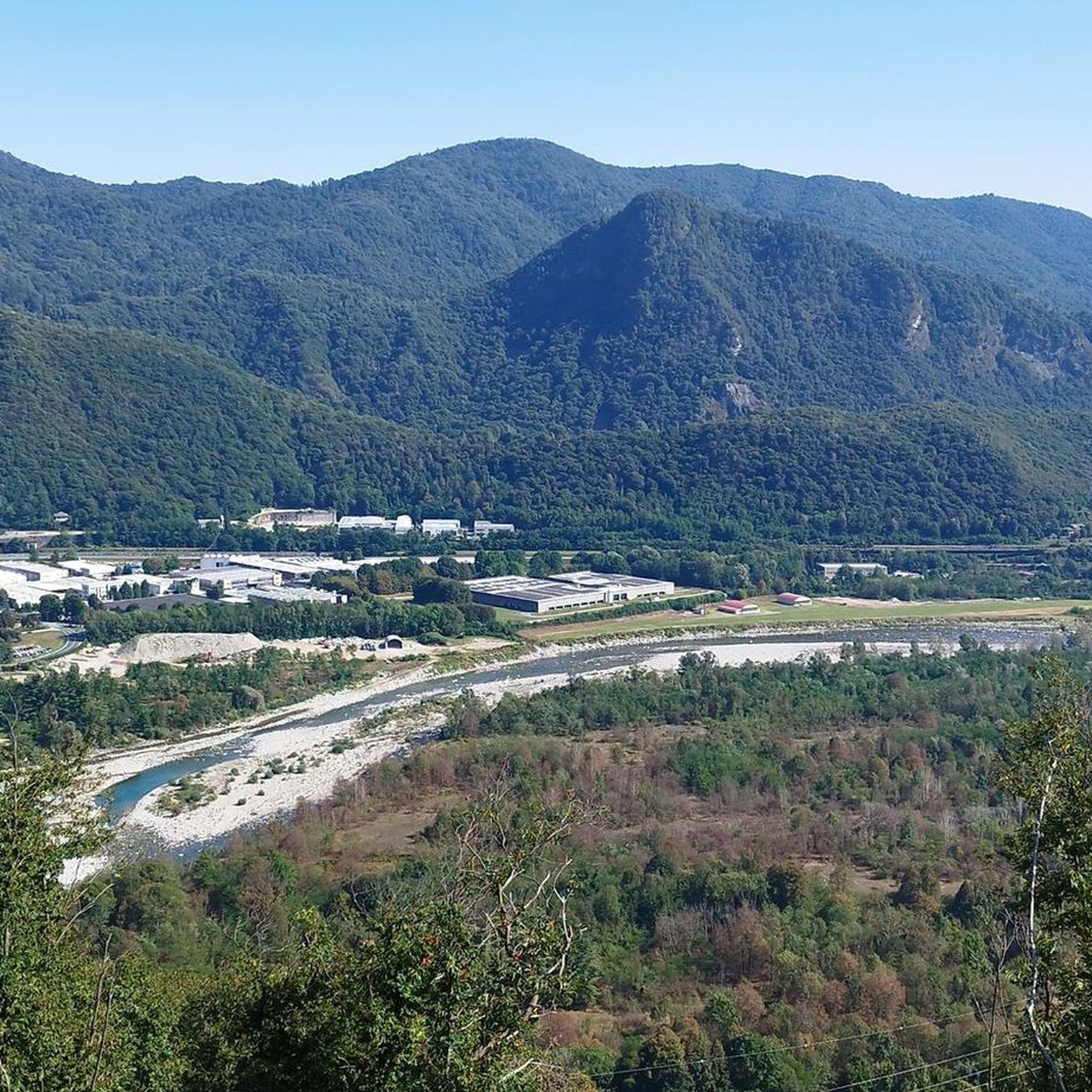
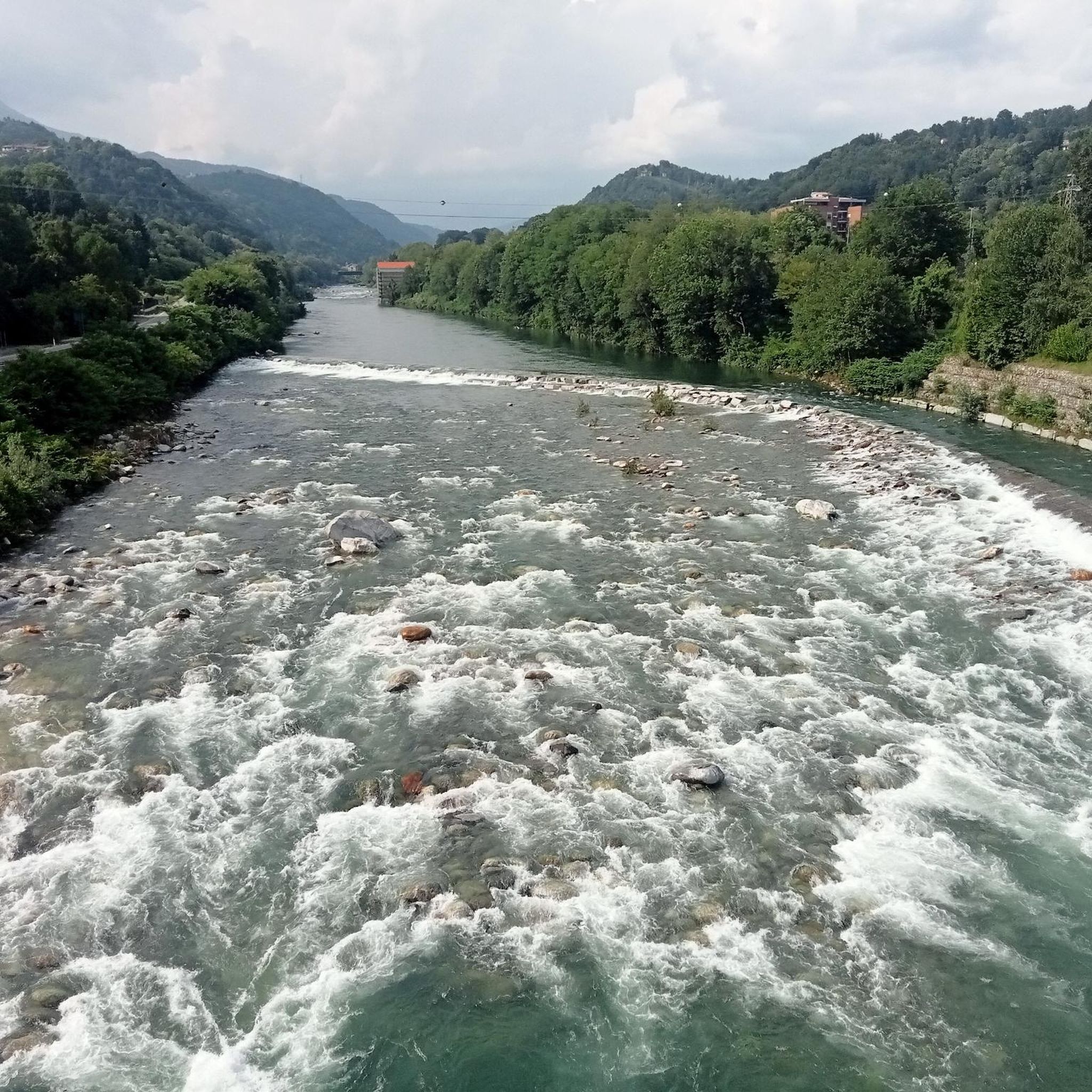
Hiking around Quarona, nestled in the Valsesia region, offers diverse landscapes ranging from the Sesia river valley to mountainous terrain. The area features varied elevations, including prominent peaks like Monte Tucri and Monte Tovo, providing panoramic views of the Pennine Alps. Hikers can explore green trails, wooded areas, and a unique "fossil" valley, with routes catering to different fitness levels.
Best hiking trails around Quarona
- The most popular hiking route is Saint Charles's Way - Monte Tucri Loop, a…
Last updated: August 30, 2026
3.0
(2)
6
hikers
5.59km
02:19
330m
330m
Moderate hike. Good fitness required. Mostly accessible paths. Sure-footedness required.
5.0
(1)
5
hikers
11.6km
05:35
930m
940m
Hard hike. Very good fitness required. Sure-footedness, sturdy shoes and alpine experience required.

Sign up for free
3.0
(1)
4
hikers
10.2km
05:09
920m
920m
Hard hike. Very good fitness required. Mostly accessible paths. Sure-footedness required.
4.0
(1)
2
hikers
12.0km
04:10
390m
390m
Moderate hike. Good fitness required. Mostly accessible paths. Sure-footedness required.
1
hikers
6.43km
02:11
220m
210m
Moderate hike. Good fitness required. Mostly accessible paths. Sure-footedness required.
Get access to more routes and recommendations from other explorers.
Sign up for free
Already have an account?
Our route recommendations are based on thousands of hikes, rides, and runs completed by other people on komoot.
Start today with a free account
Your next adventure awaits.
Login or Signup

Tips from the Community

work by the Valsesian artist Ermanno Zamboni
0
0

He also opened a bookshop in London. He was known as "Rolandin from London"
0
0
It is located on the Lombaretto mule track near the equipped area managed by the Alpine troops
0
0
votive aedicule at the crossroads between the two paths that lead to Cellio da Ferruta. The steepest one (go up to the right coming from Ferruta in the direction of Cellio) leads to the oratory of San Defendente and then to Bosco di Cellio, the other that you take continuing without turning is the most direct towards Cellio.
0
0
votive aedicule in Louvain, enhanced by a valuable fresco by the Valsesian painter Ermanno Zamboni depicting a Madonna with Child
0
0
small area with table and bench near the bridge over the Robbia
0
0
Church of Sant'Antonio Abate in Ferruta (1562)
0
0
One of the many oratories spread throughout the Valley and which constitute a characteristic of it
0
0
Frequently Asked Questions
How many hiking trails are available around Quarona?
Quarona offers a diverse network of nearly 40 hiking trails, catering to various skill levels. You'll find 7 easy routes, 21 moderate paths, and 10 more challenging trails to explore the Valsesia region.
What are some notable natural features or landmarks to see while hiking in Quarona?
The region boasts diverse natural features. You can explore the unique "fossil" valley between Mount Tucri, Poggio Roncacci, and Pianale. A popular destination is Lake Sant'Agostino, also known as "Toad Lake," accessible via Sentiero n. 624. Along this trail, you'll pass the large boulder "Sass dij Strij e d'Ava Corna" (witch's stone). For panoramic views, consider trails leading to peaks like Monte Tucri or Monte Tovo.
Are there any historical sites or cultural points of interest along the trails?
Yes, Quarona's trails often blend nature with history. You can visit the ancient Church of San Giovanni al Monte, dating back to 1398, which offers enchanting views. The Monte Tovo Loop from Quarona passes through abandoned villages and chapels, while route 624a from Lake Sant'Agostino leads to the remains of Castello d'Arian.
What kind of views can I expect on hikes around Quarona?
Hikers in Quarona are treated to stunning panoramic views. Trails often lead to vantage points offering expansive vistas of the Pennine Alps and the Sesia Valley. From higher elevations like Monte Tucri or Monte Tovo, you can enjoy breathtaking mountain scenery.
Are there any easy or beginner-friendly hikes in Quarona?
Yes, Quarona offers 7 easy routes suitable for beginners or those looking for a relaxed walk. The trail to Lake Sant'Agostino (Sentiero n. 624) is a relatively easy option, providing access to a beautiful natural spot.
What is the best time of year to go hiking in Quarona?
The region is beautiful throughout the warmer months. Spring is particularly notable around Lake Sant'Agostino, when toads gather for mating in the weeks before Easter. Generally, late spring through early autumn offers pleasant weather for exploring the trails.
Are there any circular hiking routes available?
Yes, there are several circular routes. A notable one is the Monte Tovo Loop from Quarona, which is a more difficult trail offering substantial elevation gain and panoramic views. Another option is the Saint Charles's Way - Monte Tucri Loop, a moderate route leading to spiritual sites and views of the Pennine Alps.
What do other hikers say about the trails in Quarona?
The hiking trails in Quarona are highly regarded by the komoot community, with an average rating of 4.5 stars from over 900 reviews. Hikers frequently praise the diverse landscapes, from the river valley to mountainous terrain, and the well-marked paths that cater to various fitness levels.
Are there any huts or shelters along the trails for breaks or overnight stays?
Yes, there are huts in the broader area that can serve as resting points or even for overnight stays on longer treks. Some options include Rifugio Spanna-Osella, Alpe Sacchi, and Monte Barone Hut. Always check opening times and availability before planning your trip.
Can I find information about trail difficulty and length before I go?
Absolutely. Each trail on komoot provides details on its difficulty, distance, and estimated duration. For example, the From Quarona to Cellio (via Trail 738) is a moderate 12 km route, typically completed in about 4 hours and 9 minutes.
Are there any trails that connect Quarona to other towns or villages?
Yes, some trails serve as historical connections between communities. The From Quarona to Cellio (via Trail 738) is a moderate route that takes you through Valsesia, connecting Quarona to Cellio and passing through ancient churches.
Most popular attractions around Quarona

Get inspired with the komoot mobile app


Explore more
Browse the best Hikes in other regions.
