The best walks and hikes around Rassa
4.5
(1208)
7,340
hikers
24
hikes
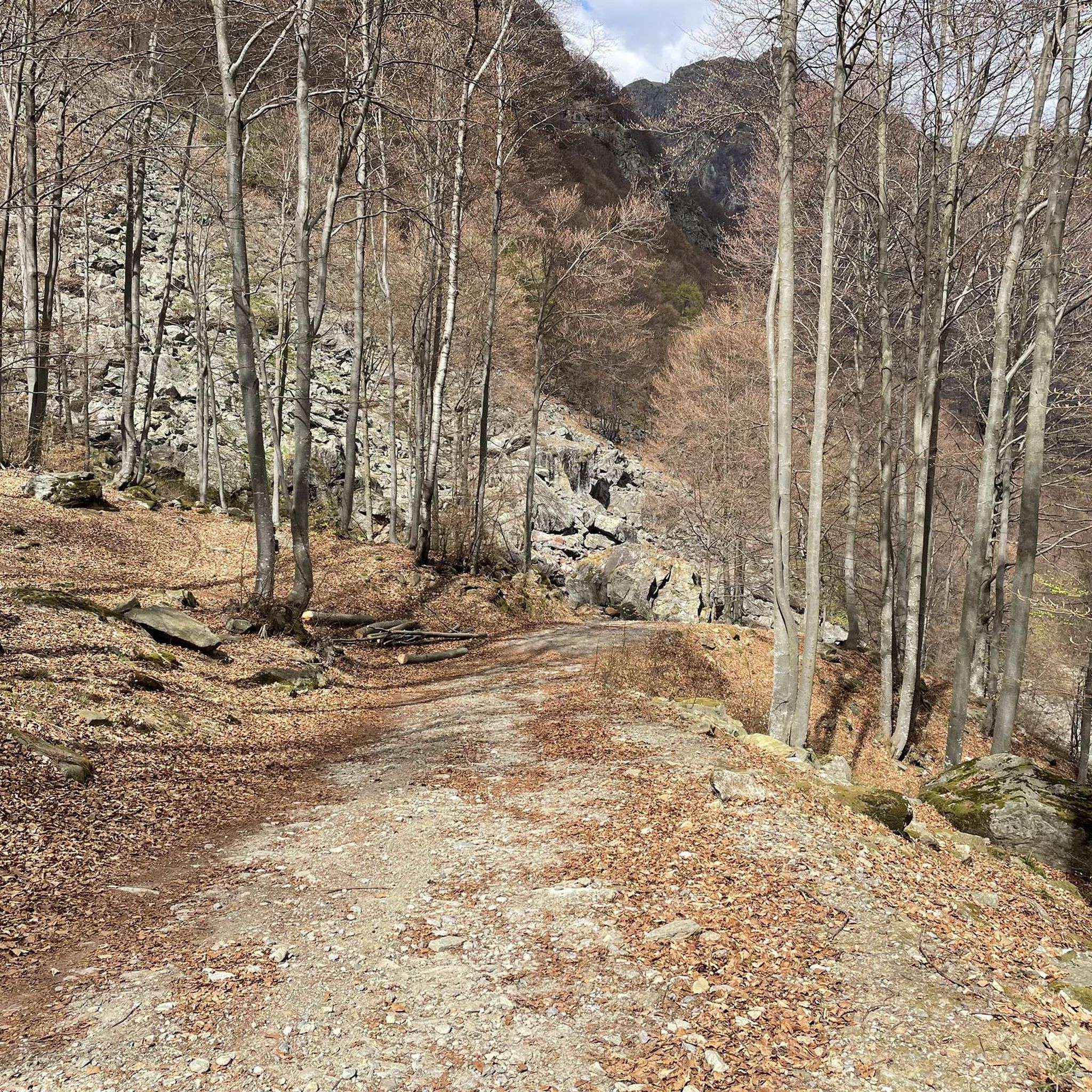
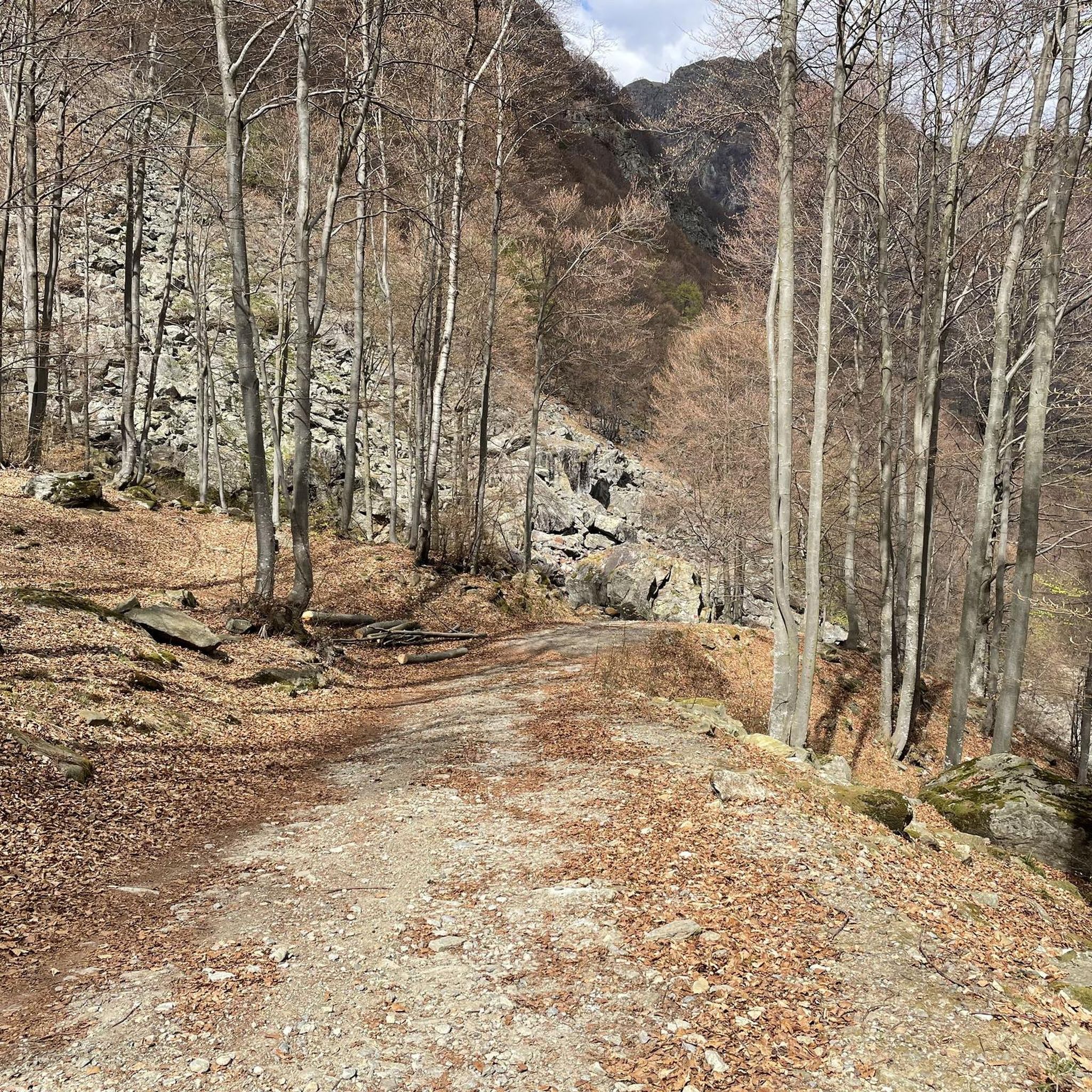
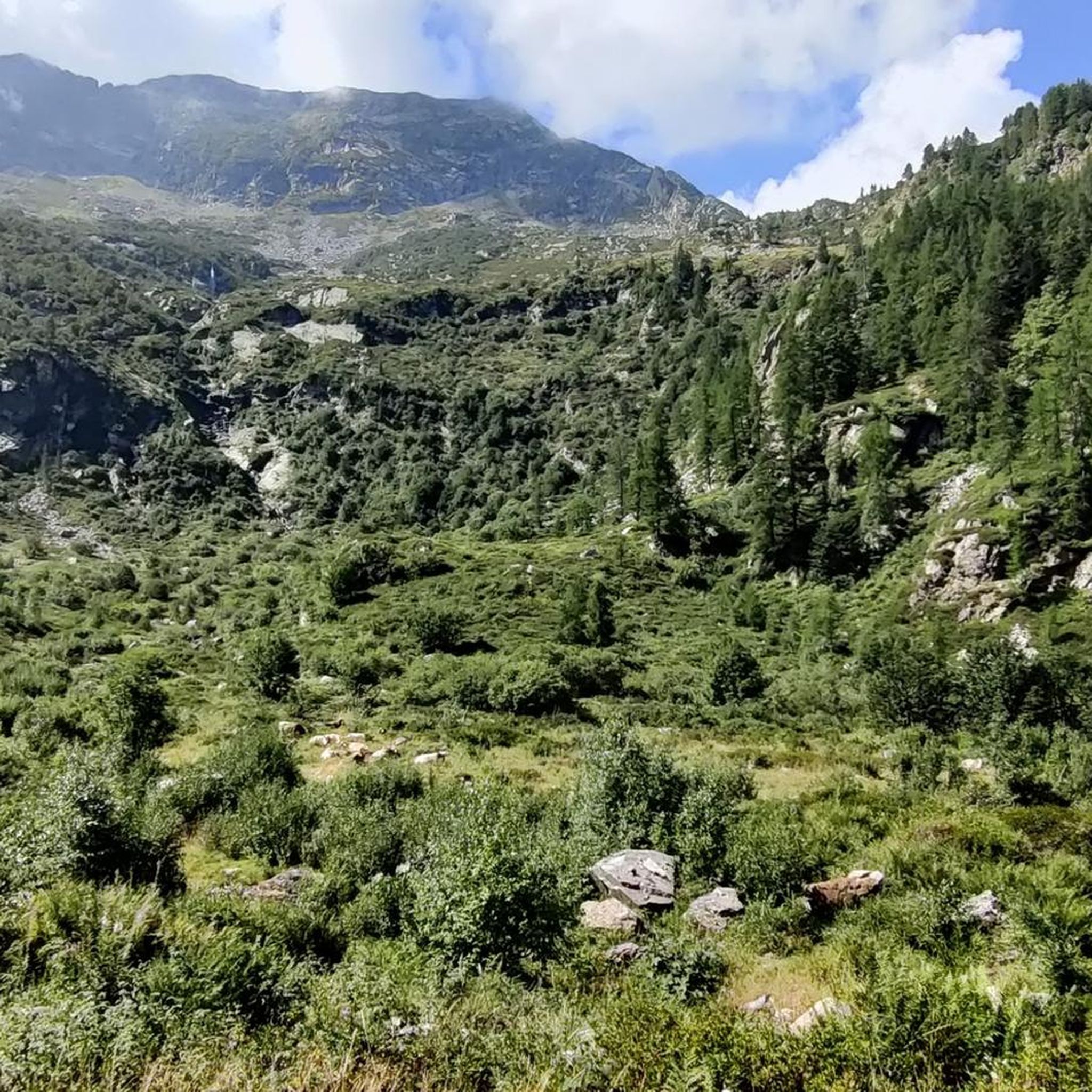
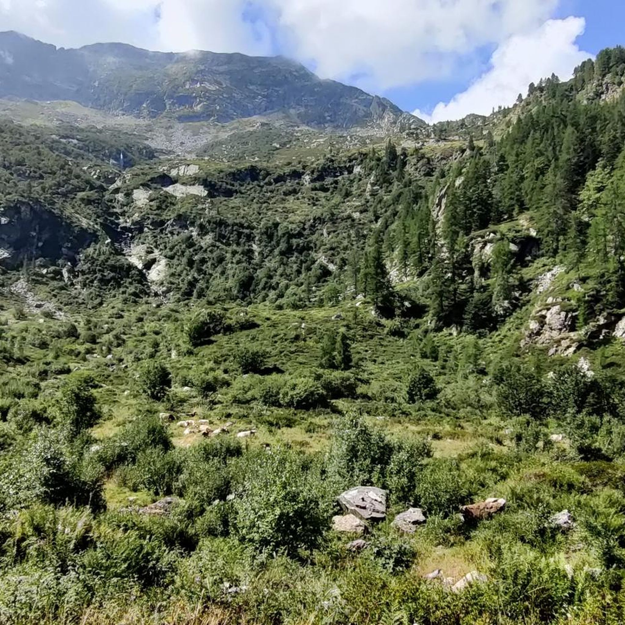
Hiking around Rassa offers access to a mountainous landscape in Valsesia, Italy, characterized by varied terrain and significant natural features. The region is defined by the confluence of the Gronda and Sorba streams, forming two distinct side valleys within the Val Grande. This area is recognized as a Biotype of Regional Interest and a Special Protection Area, highlighting its preserved natural environment. The trails navigate through narrow, lush valleys and lead to open, panoramic locations.
Best hiking trails around Rassa
…Last updated: July 7, 2026
5.0
(4)
21
hikers
11.5km
06:15
1,090m
1,080m
This difficult 7.1-mile loop hike to Monte Bo da Rassa gains 3562 feet, offering panoramic views from the summit in Valsesia.
4.8
(5)
34
hikers
11.8km
04:53
750m
750m
Hike the moderate Alpine trail from Rassa to Lake Seia in Valsesia, covering 7.3 miles with 2451 feet of elevation gain.

Sign up for free
5.0
(1)
27
hikers
17.4km
07:34
1,050m
1,060m
Historic mule track through stone villages and granite pools to a mountain pass linking three valleys.
5.0
(1)
6
hikers
9.94km
05:49
1,080m
1,080m
Alpine climb through beech woods to a lakeside meadow with sweeping views of three valleys and Monte Rosa.
2
hikers
9.93km
06:34
1,250m
1,250m
Hike the challenging 6.2-mile Trail to Lago della Vecchia (E50) in the Biella Alps, gaining 4103 feet to a glacial lake and refuge.
Get access to more routes and recommendations from other explorers.
Sign up for free
Already have an account?
Our route recommendations are based on thousands of hikes, rides, and runs completed by other people on komoot.
Start today with a free account
Your next adventure awaits.
Login or Signup
Tips from the Community

wooden bridge in excellent condition
0
0
it's actually called Alpe Sorbella
1
0
the water is emerald in color
1
0

Monte Bo on the ridge that divides Val Sorba from the Meggiana basin, panorama towards the Monte Rosa group and the main groove of Valsesia.
1
0
Small natural lake in a quiet area with a sublime view. Great for a stop.
1
1

Monte Bo di Valsesia is located at 2072 meters. Monte Bo is located on the watershed crest that divides Val Sorba from the Meggiana basin. The ridge originates from the Testone delle Tre Alpi, from which the Bo is separated by a collar called Colma Colora or Bocchetta del Bo (2,023 m). From the summit you can admire the Monte Rosa group and Valsesia. On the top, in addition to a statue of the Madonna, there is the trigonometric geodetic point of the IGM called Monte Bo di Valsesia.
1
0

Summit walk with challenging gradients (at least for me).
0
0
Frequently Asked Questions
How many hiking trails are available in Rassa?
Rassa offers a diverse selection of over two dozen hiking routes, catering to various skill levels. These trails allow you to explore the mountainous terrain, river valleys, and panoramic viewpoints of the Valsesia region.
Are there any easy or family-friendly hiking options in Rassa?
While Rassa's trails are primarily moderate to difficult, many offer opportunities for exploring the charming ancient hamlets like Ortigoso, Piana, and Mezzanaccio on foot. These can provide a gentler experience, allowing families to enjoy the region's history and traditional architecture amidst beautiful natural settings.
What kind of natural features or landmarks can I expect to see while hiking in Rassa?
Rassa is rich in natural beauty. You can discover the unique confluence of the Gronda and Sorba streams, the dramatic 'Bare Wall' (Parete Calva) gorge, and stunning panoramic views. Highlights along the trails include Oropa Stream Waterfall, Lake Vargno, and Barma Lakes. A popular route, Trail 261 to Alpe Salei and Lago della Seia, leads to the picturesque Lake Seia, often called a 'jewel nestled among the peaks'.
Are there any circular hiking routes available in Rassa?
Yes, Rassa offers circular hiking options. A notable example is the Monte Bo di Valsesia Loop from Rassa, a challenging 11.5 km trail that provides a comprehensive experience of the area's mountainous terrain.
What is the best time of year to go hiking in Rassa?
The best time for hiking in Rassa is generally from late spring through early autumn (May to October) when the weather is most favorable and trails are clear. The region's mountainous terrain means conditions can vary, so always check local forecasts before heading out. Winter hiking is possible but requires appropriate gear and experience due to snow and ice.
Are there options for challenging hikes in Rassa?
Absolutely. Rassa is known for its challenging mountainous terrain. Over half of the routes are classified as difficult, featuring significant elevation gains. For instance, the From Rassa to Colle del Loo (via Route 251) is a demanding 17.4 km trail with over 1000 meters of ascent, offering a true test for experienced hikers.
How can I reach the trailheads in Rassa using public transport, or is parking available?
Rassa is a small mountain village, and while public transport options might be limited directly to all trailheads, it is generally accessible by car. Parking is typically available within or near the village center, providing a convenient starting point for many routes. It's advisable to check local information for specific parking areas before your visit.
Are there any historical or cultural sites to explore on foot in Rassa?
Yes, Rassa is rich in history. You can explore ancient and charming hamlets such as Ortigoso, Piana, Canton Fontana, Rassetta, and Mezzanaccio, which offer a glimpse into the region's past and traditional architecture. The area is also associated with historical figures like Fra Dolcino, with itineraries like the Fra Dolcino Itinerary connecting Rassa with Trivero.
What do other hikers enjoy most about the trails in Rassa?
The trails in Rassa are highly regarded by the komoot community, with an average rating of 4.5 stars from over 1200 reviews. Hikers frequently praise the diverse mountainous terrain, the stunning panoramic viewpoints, and the well-preserved natural environment of the Val Grande and Val Sorba.
Are there any opportunities for wild swimming near Rassa's hiking trails?
The confluence of the Gronda and Sorba streams in Rassa creates a diverse landscape, and while specific designated wild swimming spots are not detailed, the presence of these rivers and lakes like Lake Seia suggests potential opportunities for refreshing dips in natural waters, especially during warmer months. Always exercise caution and respect local regulations when considering wild swimming.
What are the typical trail lengths and durations for hikes in Rassa?
Hikes in Rassa vary significantly in length and duration. Moderate trails can be around 11-12 km, taking approximately 4-5 hours. More difficult routes, such as the Trail to Lago della Vecchia (E50), can extend to nearly 10 km but involve significant elevation, requiring over 6.5 hours to complete. Always check the specific route details for accurate estimates.
What makes Rassa's landscape unique for hiking?
Rassa's landscape is unique due to its location within the Val Grande, at the heart of Val Sorba, where the Gronda and Sorba streams converge. This creates a narrow yet lush natural environment, recognized as a Biotype of Regional Interest and a Special Protection Area. The combination of river valleys, ancient hamlets, and dramatic mountainous terrain offers a rich and varied hiking experience.
Most popular attractions around Rassa

Get inspired with the komoot mobile app


Explore more
Browse the best Hikes in other regions.
