The best walks and hikes around Quarna Sopra
4.4
(3567)
14,368
hikers
20
hikes
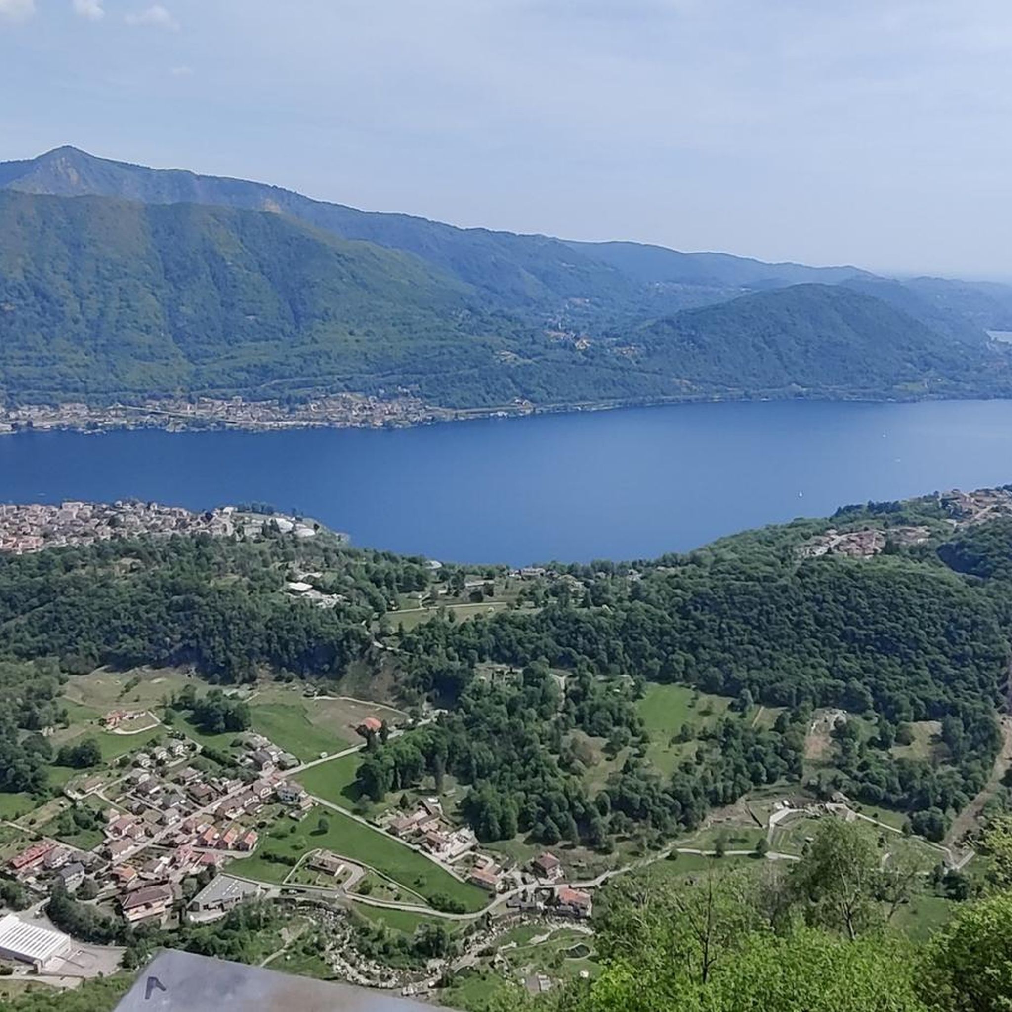
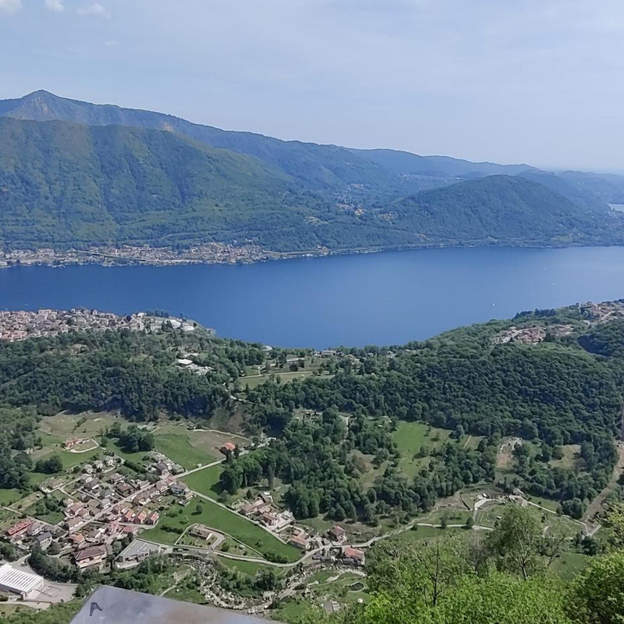
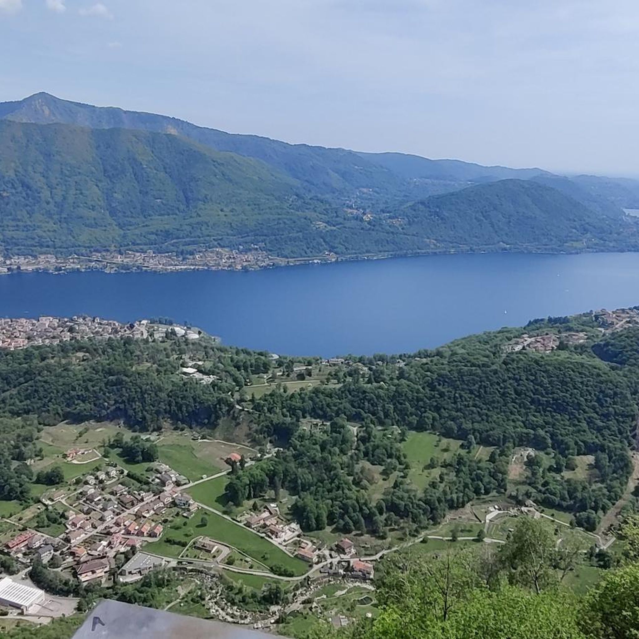
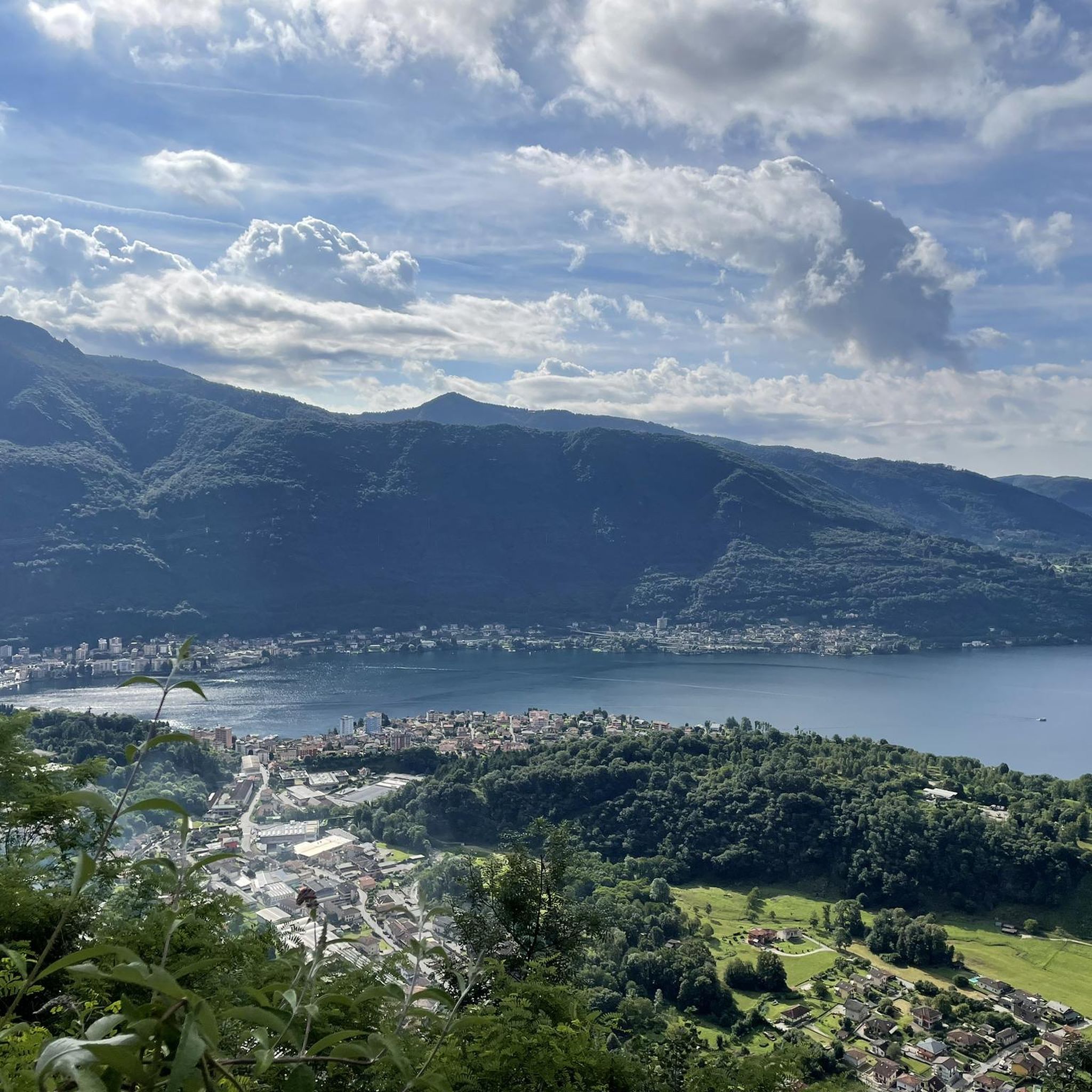
Hiking trails around Quarna Sopra traverse a mountainous landscape in the Lake Orta region of Italy. The area features diverse elevations, offering panoramic views of Lake Orta and surrounding peaks like Monte Rosa. Trails lead through beech woods, pastures, and pleasant valleys such as Valle Strona, providing varied natural experiences. The region's terrain includes notable features like Monte Mazzoccone, which separates the Valle Strona and Lake Orta basins.
Best hiking trails around Quarna Sopra
- The most popular hiking route is Monte Mazzuccone Loop, a 5.8 miles (9.3 km) trail that takes 3 hours 47 minutes to complete, offering views of Lake Orta.
- Another top favourite among local hikers is Monte Mazzoccone Loop, a moderate 5.4 miles (8.6 km) path. This route provides panoramic views of the lake and surrounding peaks.
- Local hikers also love the Historic Resistance Trail to Monte Mazzoccone (Z01), a 8.7 miles (14.1 km) trail leading through varied terrain, often completed in about 5 hours 49 minutes.
- Hiking around Quarna Sopra is defined by mountainous terrain, panoramic lake views, and diverse forest and valley paths. The network offers options for different ability levels, from easy walks to more challenging ascents.
- The routes in Quarna Sopra are highly rated by the komoot community with an average score of 4.4 stars from over 3000 reviews. More than 13000 hikers have used komoot to explore Quarna Sopra's varied terrain.
Last updated: September 26, 2026
4.5
(46)
185
hikers
9.28km
03:48
540m
540m
Moderate hike. Good fitness required. Mostly accessible paths. Sure-footedness required.
3
hikers
8.63km
03:13
440m
440m
Moderate hike. Good fitness required. Mostly accessible paths. Sure-footedness required.

14.1km
05:49
1,010m
1,010m
Hard hike. Very good fitness required. Mostly accessible paths. Sure-footedness required.
4.0
(1)
24
hikers
17.6km
06:39
920m
920m
Hard hike. Very good fitness required. Mostly accessible paths. Sure-footedness required.
24
hikers
6.61km
03:04
510m
510m
Moderate hike. Good fitness required. Mostly accessible paths. Sure-footedness required.
Get access to more routes and recommendations from other explorers.
Already have an account?
Our route recommendations are based on thousands of hikes, rides, and runs completed by other people on komoot.
Start today with a free account
Your next adventure awaits.


Tips from the Community

The photos, map and trails are not of Mount Sasso del Ferrero but of Mount Mazzuccone above Le Quarne in the province of VCO
0
0

Don't miss this superb hike -- it is, however, a bit challenging with rewarding slopes.
0
1

Spectacular view, just before going up from Saccarello there are some chains that facilitate the more delicate passages of the path (nothing particularly technical or dangerous)
0
0

departure from the Camasca alp along a well-marked path, initially in the woods and then becoming a path that climbs up taking us to the top in about an hour, from here we continue towards the Turlo mass with a panoramic walk and an up and down almost all on the crest, in three hours total the climb is completed
0
0


Crossroads in Cusio at 1265m above sea level
1
0
Mountain pasture in the municipality of Quarna Sopra (VB) at an altitude of 980m above sea level
0
0
Alpine pasture in Cusio in the municipality of Quarna Sopra (VB) at an altitude of 1100m above sea level
0
0
Frequently Asked Questions
How many hiking trails are available around Quarna Sopra?
There are over 15 hiking trails in the Quarna Sopra area, catering to various skill levels. You'll find a mix of easy walks, moderate treks, and more challenging ascents through the mountainous terrain.
What kind of views can I expect on hikes in Quarna Sopra?
Hikers in Quarna Sopra can enjoy breathtaking panoramic views of Lake Orta and the surrounding peaks, including distant glimpses of Monte Rosa. Many trails, particularly those ascending Monte Mazzuccone, offer prime vantage points where the entire lake and the horizon towards the Novara plain are visible.
Are there any easy or family-friendly hiking options in Quarna Sopra?
Yes, there are several easy routes suitable for families or those looking for a more relaxed walk. One example is the Old Washhouse – Murals of Quarna Sopra loop from Quarna Sopra, which is an easy 5.3 km trail with minimal elevation gain.
Are there any circular hiking routes in Quarna Sopra?
Many of the trails in Quarna Sopra are circular, allowing you to start and end in the same location. The Monte Mazzoccone Loop is a popular moderate 8.6 km circular path offering panoramic views of Lake Orta.
What are some notable natural features or attractions to see along the trails?
Beyond the stunning lake views, trails may pass through pleasant valleys like Valle Strona, beech woods, and pastures. You might also encounter relaxing ponds or even waterfalls, such as the Pescone Waterfall, which can be found in the wider Lake Orta region.
Are there any challenging hikes for experienced trekkers?
Absolutely. For experienced hikers, the Historic Resistance Trail to Monte Mazzoccone (Z01) is a difficult 14.1 km route with significant elevation gain. Another challenging option is the Murals of Quarna Sopra – Monte Croce Summit loop, which requires very good fitness.
What do other hikers say about the trails in Quarna Sopra?
The hiking trails around Quarna Sopra are highly regarded by the komoot community, with an average rating of 4.4 stars from over 3000 reviews. Hikers often praise the diverse terrain, the well-maintained paths, and the spectacular panoramic views of Lake Orta and the surrounding mountains.
Are there any huts or shelters along the hiking routes in Quarna Sopra?
Yes, the region around Quarna Sopra features several huts that can offer a resting point or shelter during your hike. Examples include the Alpe Nuovo Hut and Alpe Cavallaccio, among others.
What is the terrain like on the Quarna Sopra hiking trails?
The terrain is predominantly mountainous, characterized by diverse elevations. You'll traverse paths through beech woods, open pastures, and pleasant valleys. The trails can range from well-trodden paths to more rugged sections, especially on difficult routes, offering a varied and immersive natural experience.
Can I find trails that lead to other lakes besides Lake Orta?
While Lake Orta is the most prominent, some trails or nearby areas may lead to smaller bodies of water. The region is known for its various lakes and waterways, including the notable Lakes of Nonio, which are a feature along some local routes.
Are there any historical points of interest along the trails?
Yes, the area has historical significance. For instance, the Monte Mazzoccone was used during the Resistance as a connection between Valsesia's lakes. The Historic Resistance Trail to Monte Mazzoccone (Z01) specifically highlights this past, and the trail has been improved with picnic areas and posts.
Most popular routes around Quarna Sopra
Most popular attractions around Quarna Sopra

Get inspired with the komoot mobile app


Explore more
Browse the best Hikes in other regions.
