The best mountain hikes around Antrona Schieranco
4.7
(77)
1,550
hikers
32
hikes
Mountaineering around Antrona Schieranco, located in Italy's Pennine Alps, offers a high-alpine environment with peaks reaching 3,000 to 4,000 meters. The region is characterized by rugged mountains, glaciers, and numerous alpine lakes, providing challenging terrain for experienced mountaineers. The diverse landscapes include dense woodlands at lower elevations and exposed rock faces at higher altitudes. This area is part of the Alta Valle Antrona Natural Park, preserving its pristine natural features.
Best mountaineering routes around Antrona Schieranco
- The most popular mountaineering…
Last updated: October 8, 2026
4.8
(4)
96
hikers
6.39km
07:48
990m
990m
Hard mountaineering route. Very good fitness required. Sure-footedness, sturdy shoes and alpine experience required.
4.3
(3)
67
hikers
Hard mountaineering route. Very good fitness required. Sure-footedness, sturdy shoes and alpine experience required.

5.0
(3)
49
hikers
13.4km
06:37
840m
840m
Hard mountaineering route. Very good fitness required. Sure-footedness, sturdy shoes and alpine experience required.
25
hikers
12.5km
06:42
1,110m
1,110m
Hard mountaineering route. Very good fitness required. Sure-footedness, sturdy shoes and alpine experience required.
14
hikers
8.93km
04:55
800m
800m
Hard mountaineering route. Good fitness required. Sure-footedness, sturdy shoes and alpine experience required.
Get access to more routes and recommendations from other explorers.
Already have an account?
Our route recommendations are based on thousands of hikes, rides, and runs completed by other people on komoot.
Start today with a free account
Your next adventure awaits.
Popular around Antrona Schieranco

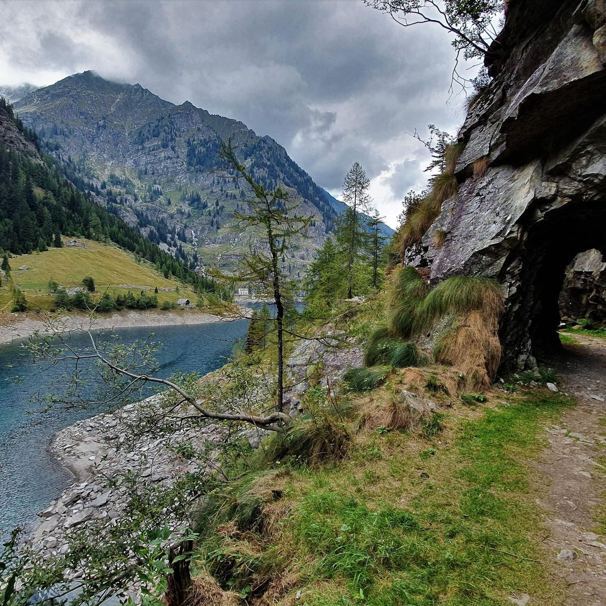
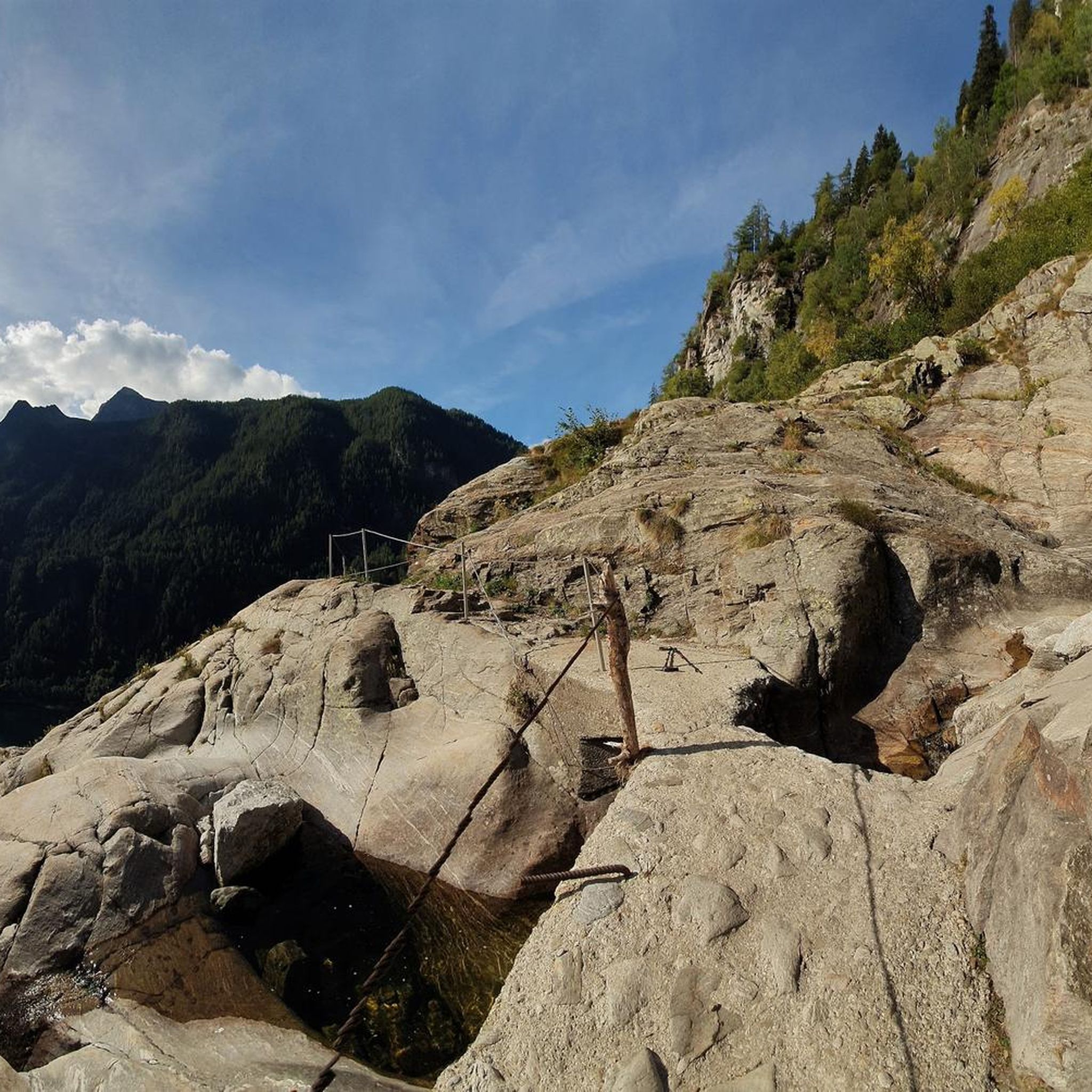
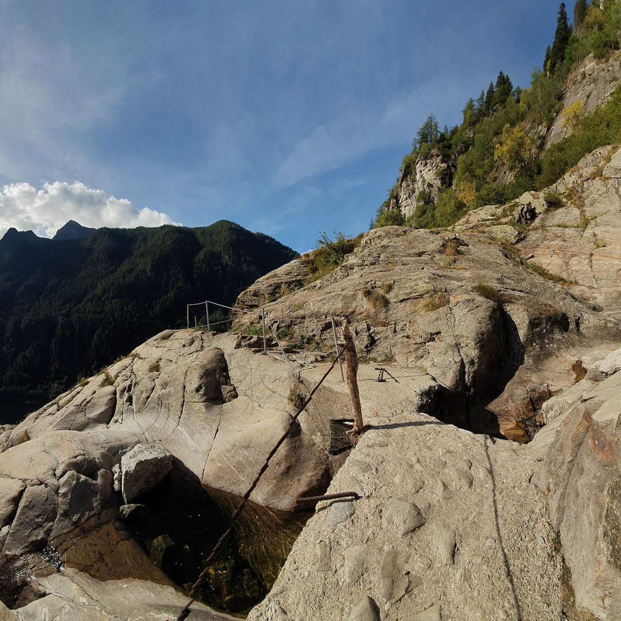
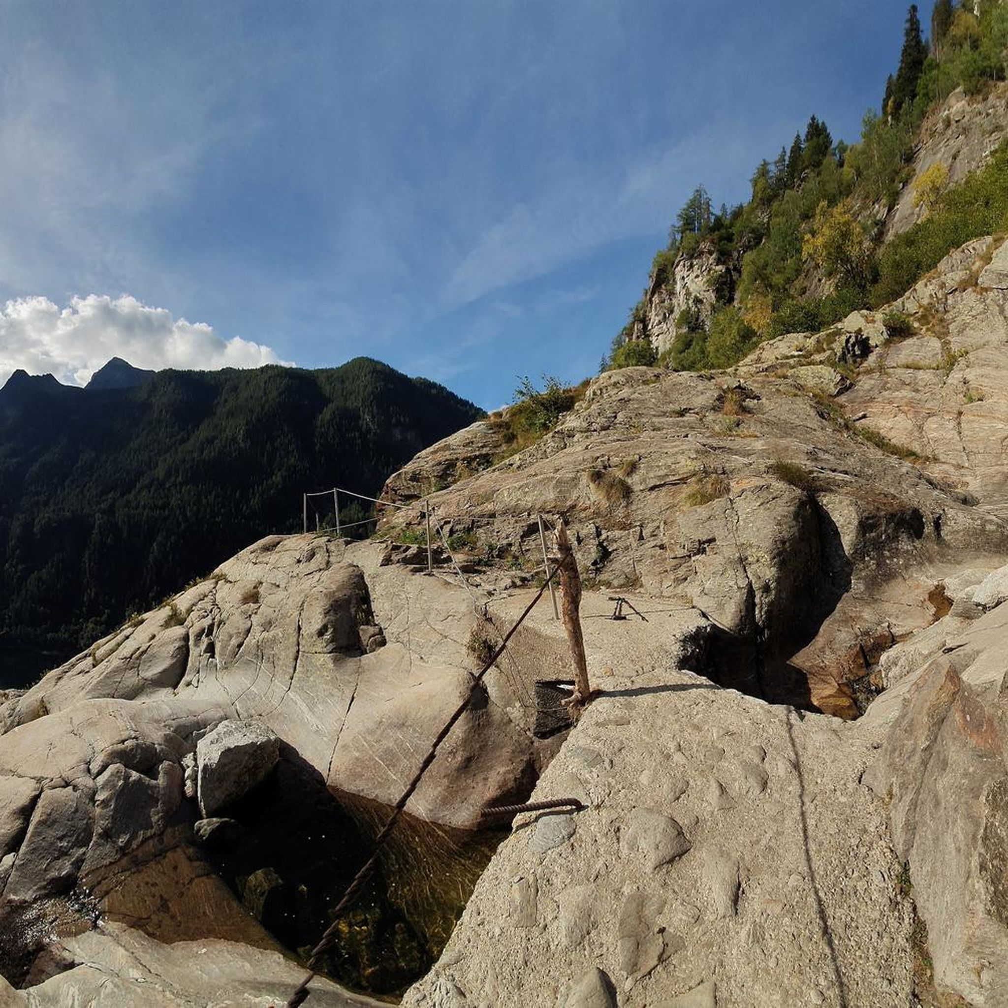

Other adventures around Antrona Schieranco

Tips from the Community

Despite its size, it's a cozy mountain restaurant.
4
0

The snow ridge between the Weissmies south and main summits is breathtakingly beautiful. However, it's also narrow and exposed. Not for the faint of heart – and definitely not recommended in storms and heavy snow.
0
0

A long suspension bridge on the Jegihorn via ferrata, which can only be crossed if you've opted for the more difficult version of the climb (K4/K5) a few meters in advance. If you take the easier version, the trail doesn't cross the rope bridge.
0
0

From the dam you have a great view of the Saas Valley and the Valais mountains.
7
0

You could stay here with half board for 85ChF.
22
0
Beautiful mountain restaurant with a great view 😃.
23
0
From here it is only 50m to the summit of the Hohsaas.
17
0
In the immediate vicinity there is a restaurant and the 4,000m trail.
20
0
Frequently Asked Questions
What kind of mountaineering routes can I expect in Antrona Schieranco?
Antrona Schieranco offers a diverse range of mountaineering routes, primarily categorized as moderate to difficult. You'll find challenging high-alpine traverses, routes featuring glacial terrain, and paths leading through high mountain passes. The region is characterized by rugged peaks, glaciers, and numerous alpine lakes, providing a true high-mountain experience.
Are there any moderate mountaineering routes suitable for those with less experience?
While many routes are difficult, there are options for those seeking a moderate challenge. For instance, the Mattmark Reservoir – View of the Mattmark Reservoir loop from Staudamm Mattmark is a moderate route covering about 13.5 km, offering stunning views without the extreme technical demands of some other tours. These routes typically require good fitness and sure-footedness but less advanced alpine experience.
What are some notable natural features or landmarks to see while mountaineering in Antrona Schieranco?
The region is rich in natural beauty. You can encounter impressive high mountain peaks like Pizzo d'Andolla (3,656m) and Pizzo Bottarello (3,487m). Many routes pass by picturesque alpine lakes, both natural and artificial, such as Lake Antrona, Lake Cingino, and the Mattmark Reservoir. The Alta Valle Antrona Natural Park also protects diverse ecosystems and unique wildlife, including the famous ibexes of Lake Cingino.
Are there any circular mountaineering routes in the area?
Yes, several routes are designed as loops, allowing you to start and end at the same point. Popular circular options include the challenging Zwischbergen Pass – Weissmies South Ridge loop from Zwischbergenpass and the Jatzilücke – Mattmark Dam loop from Staudamm Mattmark. These loops offer varied terrain and panoramic views.
What do other mountaineers say about the routes in Antrona Schieranco?
The mountaineering routes in Antrona Schieranco are highly rated by the komoot community, with an average score of 4.6 stars from over 60 reviews. Reviewers often praise the challenging high-alpine environment, the stunning glacial landscapes, and the sense of wild, unspoiled beauty that defines the region.
Are there mountain huts available for overnight stays on longer routes?
Yes, the region is well-equipped with mountain huts that provide essential overnight stops and bases for longer expeditions. Notable huts include the Weissmies Huts, which offer panoramic views and serve as starting points for ascents of high peaks like Weissmies and Lagginhorn.
What is the best season for mountaineering in Antrona Schieranco?
The best season for mountaineering in Antrona Schieranco is typically during the warmer months, from late spring to early autumn, when snowmelt allows for better access to higher elevations and glacial crossings are more manageable. However, conditions can vary, and alpine experience is crucial due to the presence of glaciers and rugged terrain.
Are there opportunities for winter mountaineering or other winter activities?
During the colder months, Antrona Schieranco transforms into a destination for winter activities. While demanding, ski mountaineering is possible to destinations like Pass Fornalino, Caval Ro, and Alpe Forcola. Snowshoeing is also a popular activity on dedicated trails, offering a different way to experience the snowy landscape.
Can I find any unique wildlife in the Antrona Schieranco mountains?
Yes, the region is home to unique wildlife, most notably the ibexes of Lake Cingino. These ibexes are famous for their remarkable ability to climb the near-vertical dam wall to lick saltpeter, offering a truly unique spectacle for visitors.
Are there any historical points of interest along the mountaineering routes?
The region has a rich history. The "Strada Antronesca," an ancient road that once connected the Ossola with the Swiss Valais Canton, offers a historical dimension to hiking, passing through valleys and high-mountain terrain. Additionally, charming hamlets like Cheggio, with its traditional stone and wood mountain huts, provide cultural stops during excursions.
What kind of terrain should I expect on the more difficult mountaineering routes?
Difficult mountaineering routes in Antrona Schieranco often involve high-alpine environments with exposed rock faces, glacial crossings, and significant elevation changes. Routes like the Britannia Hut – Hohlaub Glacier loop from Staudamm Mattmark feature extensive glacial terrain, requiring appropriate gear and experience.
Most popular routes around Antrona Schieranco
Most popular attractions around Antrona Schieranco

Get inspired with the komoot mobile app


Explore more
Browse the best Mountain Hikes & Routes in other regions.
