The best walks and hikes around Bognanco
4.6
(926)
4,417
hikers
78
hikes
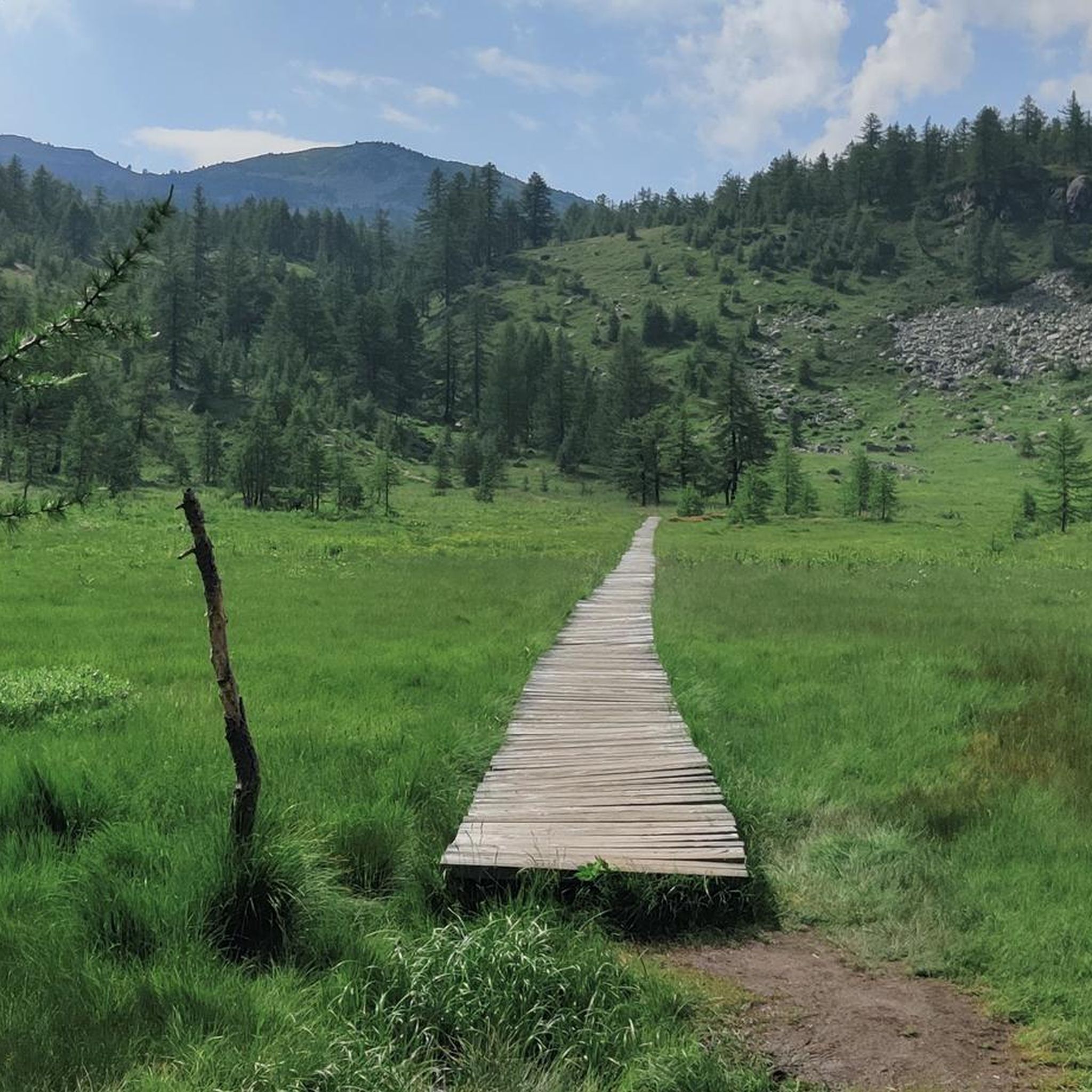
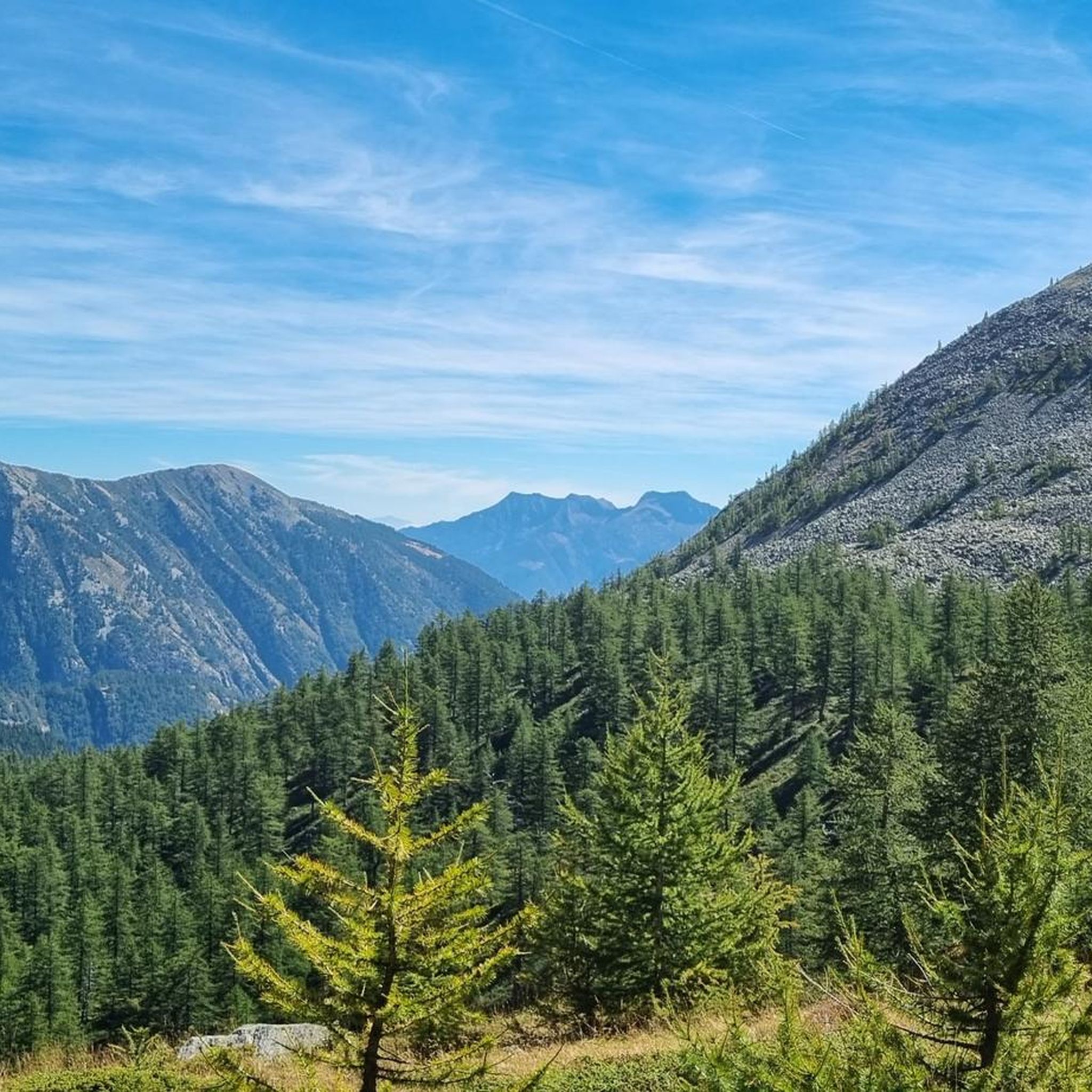
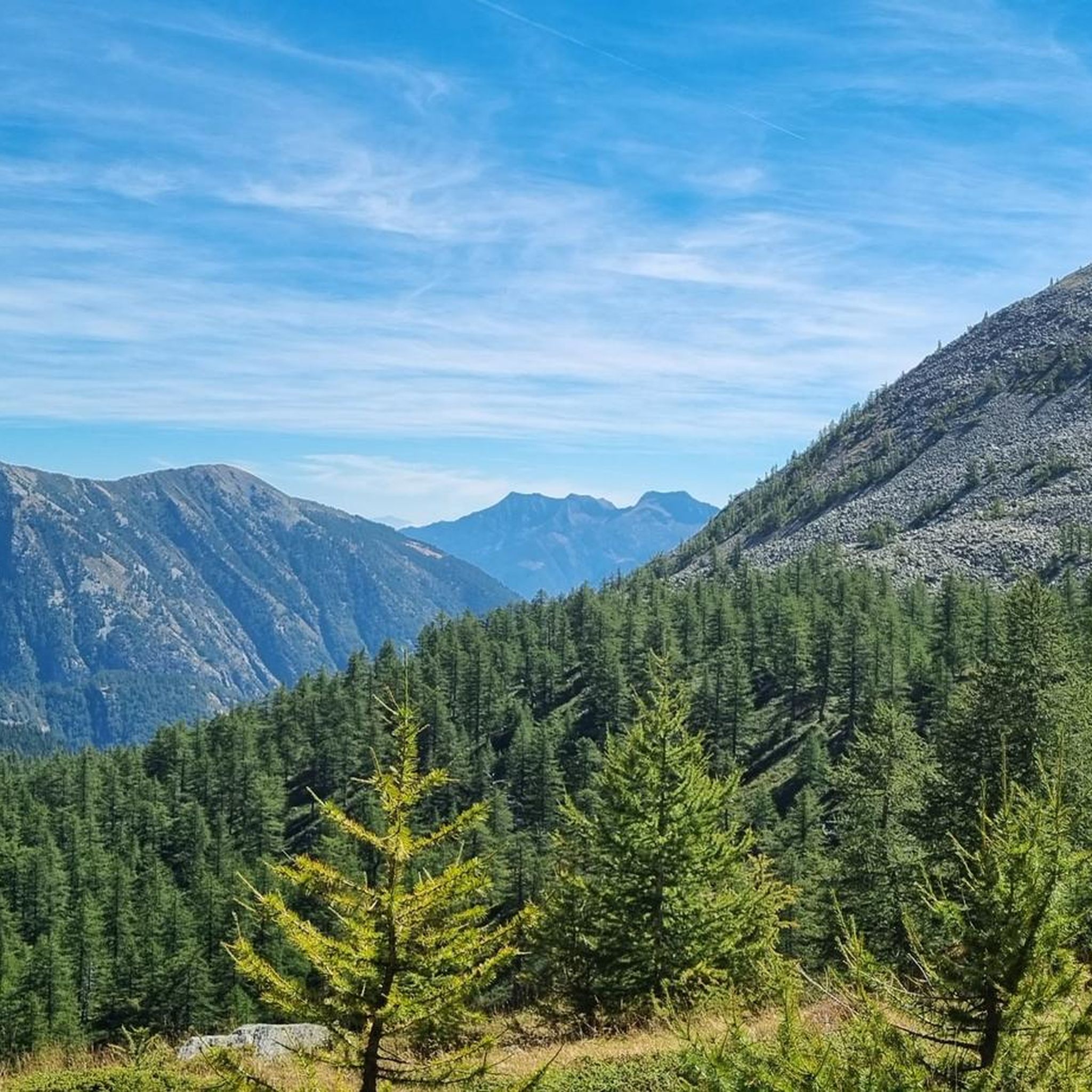
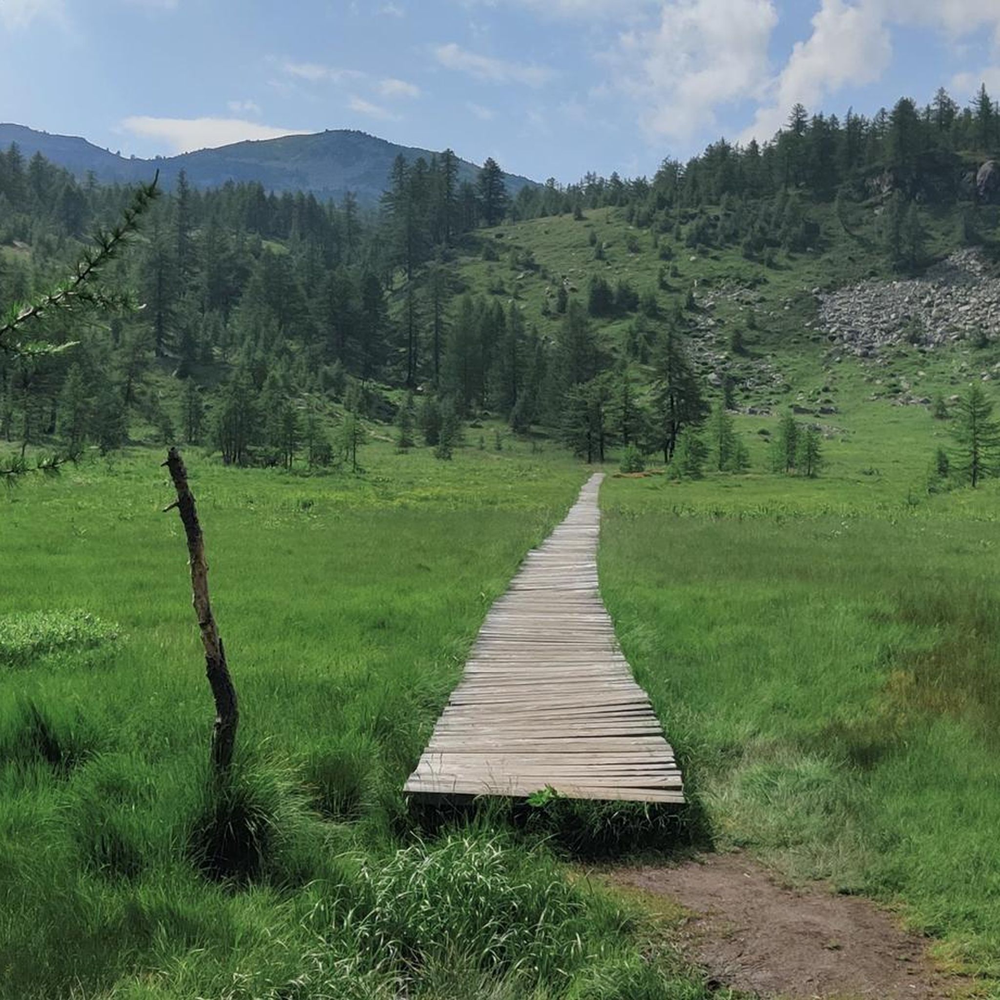
Hiking around Bognanco offers access to diverse and unspoiled natural landscapes within an alpine environment. The region is characterized by numerous waterfalls, streams, and green valleys with chestnut and fir woods. Mountain peaks reach up to 3000 meters, and small lakes and creeks are common features.
Best hiking trails in Bognanco
- The most popular hiking route is Cima Verosso and Lago di Ragozza Loop, a 5.3 miles (8.5 km) trail that takes 4 hours 11 minutes to complete, offering…
Last updated: September 26, 2026
4.4
(21)
96
hikers
8.50km
04:12
770m
780m
This difficult 5.3-mile (8.5 km) hike to Lago Ragozza and Cima Verosso offers stunning alpine panoramas and diverse terrain.
4.2
(6)
42
hikers
13.3km
05:30
670m
670m
Hike the difficult 8.2-mile Sentiero Italia E57 from Rifugio Alpe Laghetto to Rifugio San Bernardo, gaining 2192 feet with panoramic views.

5.0
(6)
39
hikers
17.3km
07:04
1,040m
1,040m
Hike the challenging 10.7-mile Forest trail to Passo di Monscera via Torbiera di Gattascosa, featuring peat bogs, alpine lakes, and panorami
4.0
(4)
18
hikers
6.60km
03:16
600m
600m
Alpine trail through three pristine Paione lakes with stunning Monte Rosa and Val Divedro views.
5.0
(3)
21
hikers
12.1km
05:14
660m
660m
Alpine trail through historic Walser pastures with spectacular Monte Rosa glacier views.
Get access to more routes and recommendations from other explorers.
Already have an account?
Our route recommendations are based on thousands of hikes, rides, and runs completed by other people on komoot.
Start today with a free account
Your next adventure awaits.


Other adventures around Bognanco

Tips from the Community

The Rifugio Gattascosa is located at 2,000 meters in the Italian Val Bognanco, just a few minutes' walk from the Swiss border. Surrounded by meadows and forests, the mountain hut is a popular stopover. The menu features regional specialties such as polenta, and accommodation for up to 20 guests is also available.
0
0

Reachable from Pizzanco or from the Gomba
0
0

challenging walk for experts, very panoramic
0
0

Excellent view of both valleys, with a view of the lake of Paione Superiore, Trasquera, Monte Leone, Cistella. Trail in order
0
0

Before the Monscera pass At the foot of the pass lies the homonymous lake, an almost mandatory stopover point.
0
0

At 2,103 meters above sea level, the Monscera Pass is a natural border between Switzerland and Italy that offers a breathtaking view of the Swiss Alps. From here the gaze sweeps over the famous "Simplon triptych" - Fletschhorn, Lagginhorn and Weissmies - with Monte Leone looming on the horizon. A unique vantage point to immerse yourself in the grandeur of these Swiss peaks.
2
0

Beautiful lake where you can admire uncontaminated nature before reaching the refuge
0
0
the Gattascosa refuge is located at a height of 2000 metres
0
0
Frequently Asked Questions
How many hiking trails are available in Bognanco?
Bognanco offers a wide variety of hiking opportunities, with over 70 routes available. These range from easy strolls to challenging ascents, catering to different skill levels.
What kind of terrain can I expect on Bognanco's hiking trails?
The terrain in Bognanco is diverse, characterized by green valleys, chestnut and fir woods, and expansive Alpine pastures. You'll find trails traversing varied landscapes, from forested sections to open mountain areas, with peaks reaching up to 3000 meters. The region is also known for its numerous waterfalls, streams, and small lakes.
Are there any easy hiking trails suitable for beginners in Bognanco?
Yes, Bognanco has a few easy trails perfect for beginners or those looking for a relaxed walk. While many routes are moderate to difficult, there are 3 designated easy routes to explore the valley's beauty without strenuous effort.
Are there any historical trails to explore in Bognanco?
Yes, Bognanco is home to historically significant routes. The famous Stockalper Trail, which connects Brig with Domodossola, passes through the area. Additionally, the “Sentiero Storico” allows you to explore ancient paths linking charming hamlets, offering a glimpse into the region's past.
What are some notable natural features or landmarks I can see while hiking in Bognanco?
Bognanco is often called the 'Valley of One Hundred Waterfalls' due to its abundance of cascades and streams. You can also discover numerous small lakes and creeks. Notable mountain passes include Monscera Pass and Passo Possetto. The region also features traditional hamlets with stone houses and ancient mills in Possetto.
Are there any circular hiking routes in Bognanco?
Yes, you can find circular routes in Bognanco. For example, the Cima Verosso and Lago di Ragozza Loop is a popular option that takes you past alpine lakes and offers scenic views.
What do other hikers enjoy most about hiking in Bognanco?
The area is highly rated by the komoot community, with an average score of 4.5 stars from over 800 reviews. Hikers often praise the diverse and unspoiled natural landscapes, the abundance of waterfalls, and the incredible panoramas of the authentic Italian alpine scenery.
Can I find trails that offer views of Monte Rosa in Bognanco?
Yes, some trails in Bognanco provide stunning views of the Monte Rosa massif. The D99 trail to Passo di Variola is specifically known for offering impressive Monte Rosa vistas.
Are there any specific trails that lead to mountain passes or border crossings with Switzerland?
Many trails in Bognanco lead to significant mountain passes, some of which are border passes with Switzerland. The Stockalperweg: San Bernardo to Monscera Pass is a notable route that traverses historical alpine passes, including the Monscera Pass.
What are the options for winter hiking or snowshoeing in Bognanco?
During winter, Bognanco transforms into a destination for snowshoeing and ski mountaineering. Popular snowshoeing routes include San Bernardo-Monscera and San Bernardo-Alpe Paione. Ski mountaineering is also possible at Cima Camughera.
Are there any wellness facilities or thermal springs in Bognanco?
Yes, Bognanco is known for its thermal baths and mineral water springs located in Bognanco Fonti. These springs have been recognized for their therapeutic properties since 1863 and include a modern wellness center called Terme di Bognanco Óniro.
Where can I find panoramic views of the Bognanco valley?
For breathtaking panoramic views of the entire Bognanco valley, the hamlet of Graniga is an excellent spot. It's often referred to as a 'natural balcony' due to its elevated position and expansive vistas.
Most popular attractions around Bognanco

Get inspired with the komoot mobile app


Explore more
Browse the best Hikes in other regions.
