The best mountain hikes around Aurano
4.7
(9)
46
hikers
9
hikes
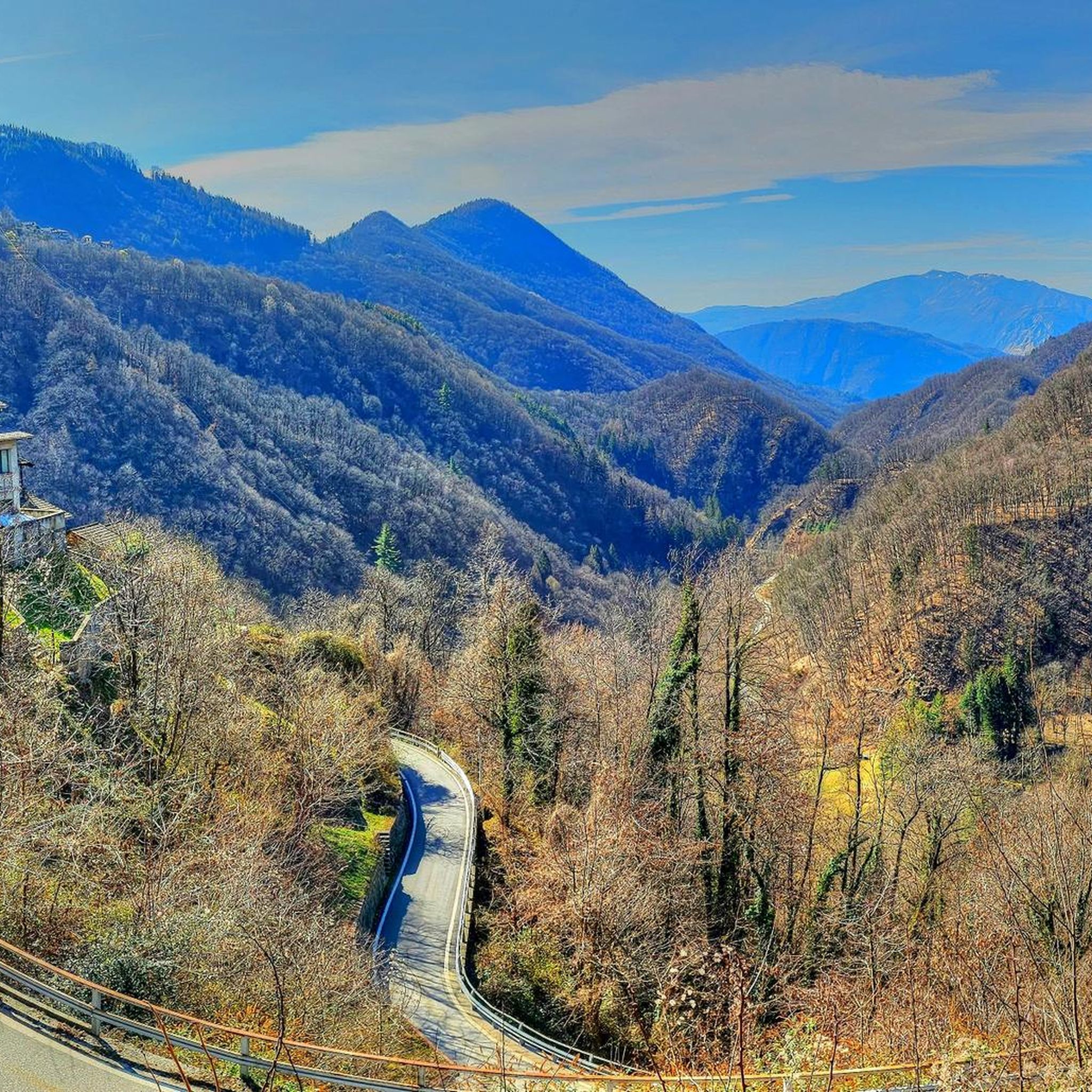
Mountaineering routes around Aurano traverse the rugged terrain of the Verbano-Cusio-Ossola region, characterized by steep forested valleys, alpine pastures, and mountain peaks. The area offers significant elevation changes, leading to panoramic views over the surrounding landscape. Waterfalls and traditional villages are often encountered along the paths, adding to the varied scenery.
Best mountaineering routes around Aurano
- The most popular mountaineering route is Pogallo Village – Strada Sutermeister Trail loop from Cicogna, a 6.1 miles (9.8 km) trail that takes…
Last updated: October 8, 2026
4.5
(2)
16
hikers
14.9km
06:25
1,060m
1,060m
Hard mountaineering route. Very good fitness required. Sure-footedness, sturdy shoes and alpine experience required.
5.0
(3)
6
hikers
13.5km
07:09
1,310m
1,310m
Hard mountaineering route. Very good fitness required. Sure-footedness, sturdy shoes and alpine experience required.

1
hikers
7.81km
02:50
440m
440m
Moderate mountaineering route. Good fitness required. Mostly accessible paths. Sure-footedness required.
2
hikers
13.2km
05:54
1,050m
1,050m
Hard mountaineering route. Very good fitness required. Mostly accessible paths. Sure-footedness required.
3
hikers
14.0km
05:59
920m
920m
Hard mountaineering route. Very good fitness required. Mostly accessible paths. Sure-footedness required.
Get access to more routes and recommendations from other explorers.
Already have an account?
Our route recommendations are based on thousands of hikes, rides, and runs completed by other people on komoot.
Start today with a free account
Your next adventure awaits.
Tips from the Community

Not recommended, we did the hike yesterday, but had to turn back after about half way as many fallen trees blocked the path and bypassing them was initially possible but very demanding due to the steep slope, later it was impossible to get through, problem-free up to Alpe Gallona then better to turn back.
1
0

Dancing Bridge by name and by nature. Very safe, however.
0
0
So there's no via ferrata to be seen anywhere, except for the 1-meter chain that serves as a handrail when it's wet...
0
0
I hiked the route from Cannobio today. Breakfast in St. Agatha, then the church of St. Luca, Alpe Marcalone, and then up to the summit. The rocky, stepped climb is rewarded with a magnificent view. It's deeply relaxing. It's recommended to use hiking poles for support, though, as there are many loose stones and large steps. It was almost 1,100 meters in elevation, and I'm 64.
1
0

It's most beautiful right underneath.
0
0

It's definitely worth stopping by. The ham and cheese platters are delicious, and then you can enjoy the magnificent view. We cycled up on our mountain bikes; with battery support, it's manageable, but without it, it's quite challenging. At the beginning of April 2025, the hut was open from 11:30 a.m. to 4:30 p.m.
0
0

Nice panoramic point with access on two sides. Not easy to cycle due to the high erosion of the path that has created a single large canal
0
0

San Bartolomeo in Montibus stands alone halfway between Cinzago and Formine. If you are climbing from Cinzago towards Formine, you can take a break here: from this point on the path is all downhill. The church, with a Latin cross plan, houses precious 16th-century paintings. Due to its isolated position, surrounded by pastures and mountain pastures, it was a place of worship dedicated to the farmers and shepherds of the area. Every year, in August, the community of the nearby villages organizes the Feast of San Bartolomeo. Next to the church is a small cemetery.
0
0
Frequently Asked Questions
How many mountaineering routes are available around Aurano?
There are over 10 distinct mountaineering routes around Aurano, ranging from moderate to difficult, offering diverse experiences across the region's varied terrain.
Are there any mountaineering routes suitable for beginners or those looking for a moderate challenge?
Yes, Aurano offers several moderate routes. A good option is the Monte Carza loop from Cannero Riviera, which covers 7.7 km with a moderate elevation gain, providing a rewarding experience without extreme difficulty.
What are some of the more challenging mountaineering routes near Aurano?
For experienced mountaineers, routes like the Crego Waterfall – Waterfall loop from Cannobio offer significant elevation changes over 13.2 km, providing a demanding and rewarding mountain experience.
Are there any circular mountaineering routes in the Aurano area?
Yes, many of the mountaineering routes around Aurano are designed as loops, allowing you to start and finish at the same point. Examples include the Monte Carza loop from Cannero Riviera and the Crego Waterfall – Waterfall loop from Cannobio.
Can I find routes that feature waterfalls around Aurano?
Absolutely. The region is known for its natural beauty, including waterfalls. The Crego Waterfall – Waterfall loop from Cannobio is a prime example, taking you past impressive cascades. You can also visit the Cascata della Froda highlight.
What kind of views can I expect on mountaineering routes in Aurano?
Mountaineering routes around Aurano offer diverse and often panoramic views. You'll traverse steep forested valleys, ascend to alpine pastures, and reach mountain peaks, providing expansive vistas over the surrounding landscape, including glimpses of Lake Maggiore and the Verbano-Cusio-Ossola region.
What is the best time of year for mountaineering in Aurano?
The best time for mountaineering in Aurano is typically from late spring through early autumn (May to October) when the weather is generally stable, and trails are clear of snow. Always check local weather forecasts before heading out.
Are there any interesting landmarks or attractions to see along the mountaineering trails?
Yes, the routes often pass by historical and natural points of interest. You might encounter traditional villages, old bridges like the Stone Bridge Over the San Bernardino Gorge, or religious sites such as the Church of Sant'Anna and Medieval Bridge.
What do other mountaineers enjoy most about the routes around Aurano?
The mountaineering routes in Aurano are highly rated by the komoot community, with an average score of 4.6 stars. Reviewers often praise the varied terrain, the stunning panoramic views from higher elevations, and the opportunity to explore both forested paths and alpine landscapes.
Are there any mountain huts or bivouacs available along the routes for longer excursions?
Yes, for longer or multi-day excursions, you might find mountain huts or bivouacs. For example, the Alpe Scaredi Bivouac loop from Fondo li Gabbi specifically mentions a bivouac, offering a potential resting point for those tackling more demanding routes.
Is parking generally available near the starting points of these mountaineering routes?
Parking availability varies by trailhead. Many routes start from villages or accessible points where public parking may be available. It's advisable to check specific route descriptions for details on parking at your chosen starting point.
Most popular attractions around Aurano

Get inspired with the komoot mobile app


Explore more
Browse the best Mountain Hikes & Routes in other regions.
