The best walks and hikes around Calasca-Castiglione
4.4
(1400)
6,390
hikers
23
hikes
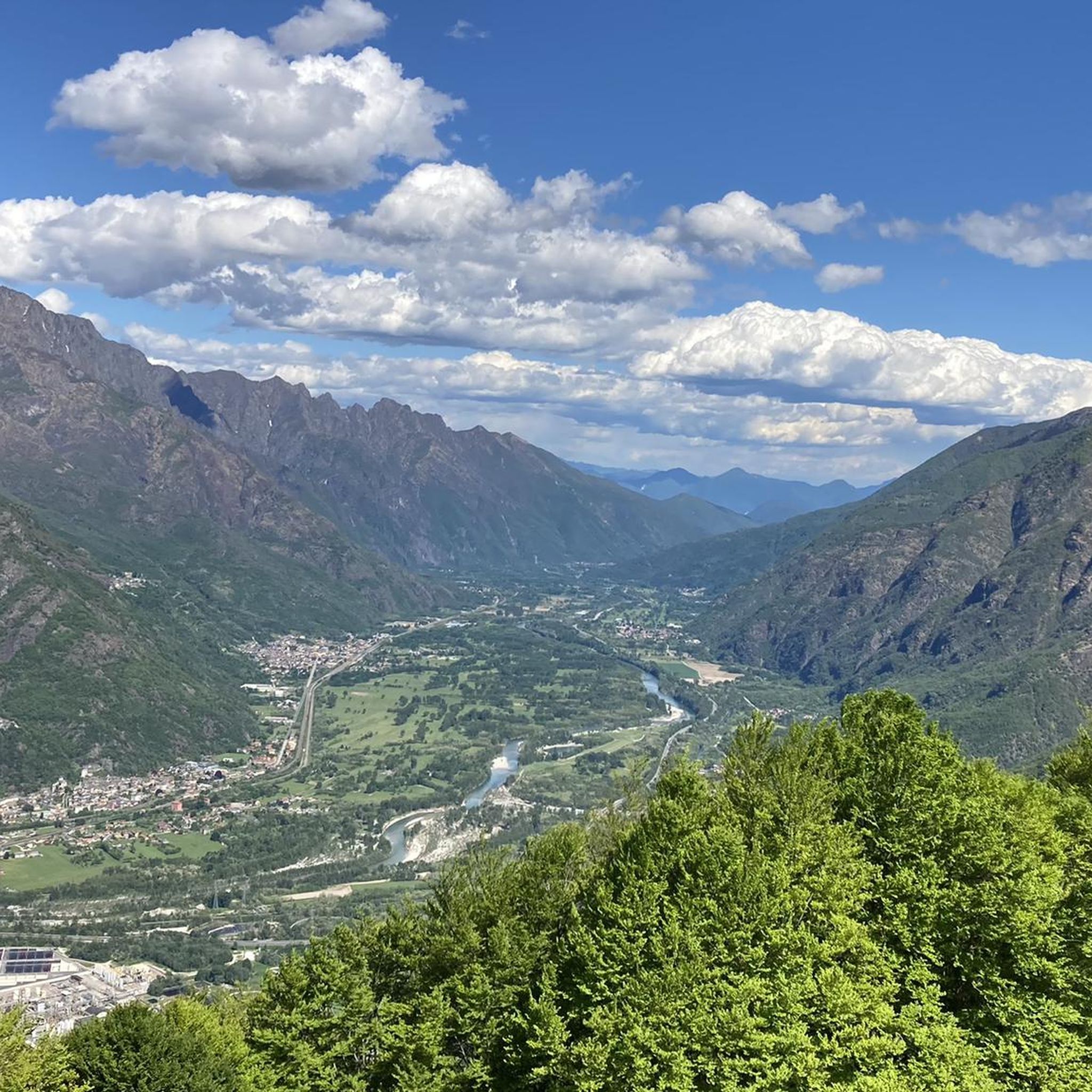
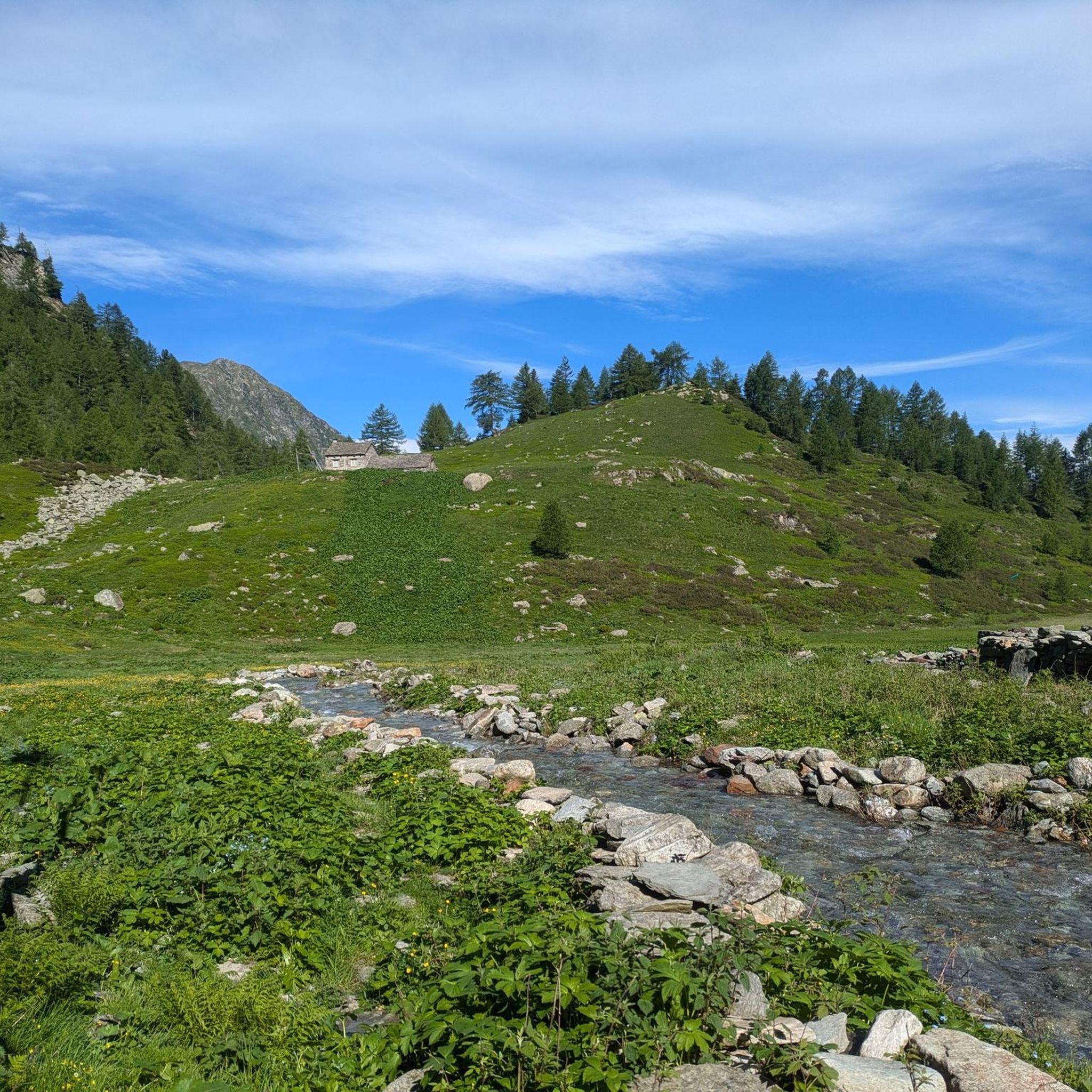
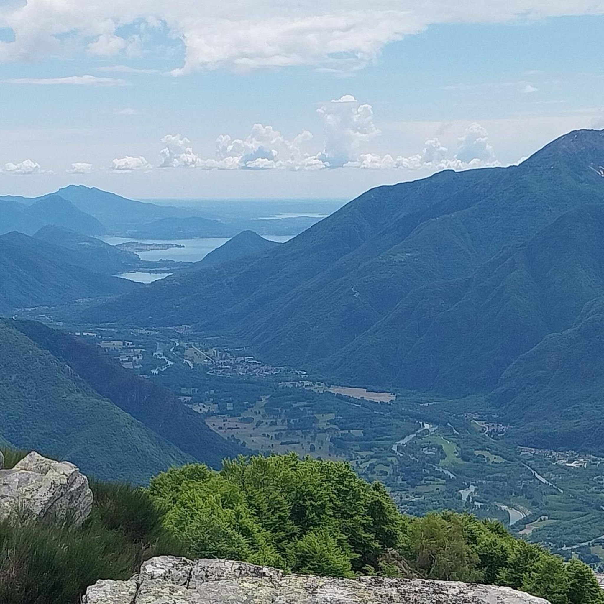
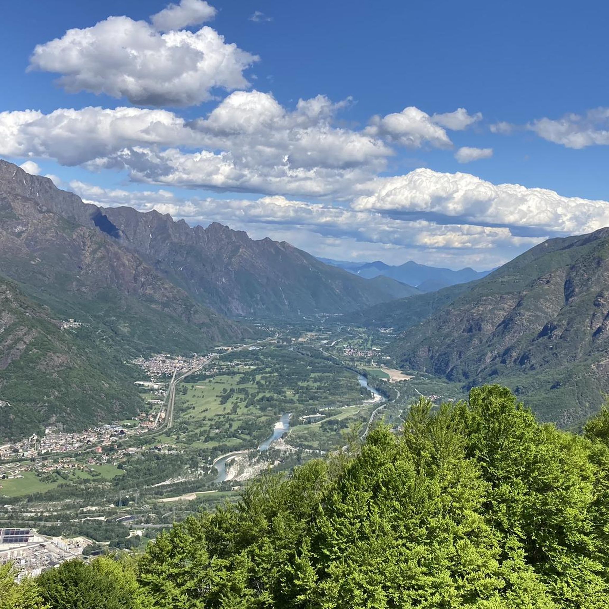
Hiking around Calasca-Castiglione offers diverse landscapes within the Valle Anzasca, providing views that include glimpses of Monte Rosa. The terrain features lush beech and coniferous forests, alongside extensive terraced areas with ancient dry stone walls. The Anza river and its gorges, such as the one housing the Sanctuary of the Madonna della Gurva, contribute to the natural environment. Traditional stone hamlets like Antrogna and Olino are integrated into the hiking experience.
Best hiking trails around Calasca-Castiglione
- The most popular hiking…
Last updated: October 10, 2026
4.8
(11)
39
hikers
14.2km
06:40
1,130m
1,130m
Hike the difficult 8.8-mile Sentiero Italia: Stage E54, gaining 3702 feet through Valle Anzasca to Rifugio Alpe Colma in 6 hours and 40 minu
4.9
(11)
37
hikers
15.3km
07:49
1,350m
1,360m
Alpine village trail through stone hamlets and beech forests to a cozy refuge with homemade bread.

5.0
(1)
12
hikers
10.3km
05:26
1,000m
1,000m
Hike the difficult B96 from Porcareccia to Rifugio della Colma, covering 6.4 miles and 3291 feet of elevation gain in Italy's Piedmont regio
5.0
(3)
7
hikers
7.80km
04:52
990m
1,000m
Hike the difficult 4.8-mile Colma di Castiglione Loop for panoramic views of the Anzasca and Antrona Valleys.
4
hikers
11.7km
06:39
1,220m
1,220m
Historic Walser trail through Valle Anzasca's cobblestone villages to Monte Rosa views.
Get access to more routes and recommendations from other explorers.
Already have an account?
Our route recommendations are based on thousands of hikes, rides, and runs completed by other people on komoot.
Start today with a free account
Your next adventure awaits.


Other adventures around Calasca-Castiglione

Tips from the Community

Saturday 18 April 2026 still closed
0
0

In 2024, the Alpe Colma was unfortunately closed. It is necessary to descend. Even if the climb is long and arduous, you can enjoy the beautiful path down
0
0

From Alpe Prer you can enjoy a beautiful view of the Anzasca Valley, from the valley floor to the grassy slopes with strips of conifer woods.
1
0
Olino is a very suggestive village in the Anzasca Valley, a place that is still alive, especially in the summer months. Narrow alleys, renovated stone houses, a small chapel: the past merges with the present.
1
0
Alpe Prei is a settlement of beautiful stone houses. Some, unfortunately, are in a very bad state, but they are still a jewel of Alpine architecture. From here you have a wide view of the coniferous woods and the surrounding peaks.
1
0
From the refuge you have a beautiful view of the valley and the mountains. This structure was once a stable; it was then resumed, restructured and converted into an accommodation facility. It has 12 beds and is a very welcoming place.
1
1

After a strenuous climb you can let yourself be pampered here. There is homemade bread, beer, pasta, wine, etc. and if you are lucky there is still music from the piano and the guitar after the meal. Was really great here. Reservation is recommended.
1
1
Frequently Asked Questions
What types of hiking trails can I expect in Calasca-Castiglione?
Calasca-Castiglione offers a diverse range of hiking trails, from paths winding through lush beech and coniferous forests to routes traversing ancient terraced areas with dry stone walls. You'll find trails along the Anza river and its gorges, as well as routes leading through traditional stone hamlets. The region's trails vary in difficulty, catering to different fitness levels, including challenging mountain ascents.
Are there any family-friendly hiking options in Calasca-Castiglione?
While many trails in Calasca-Castiglione are rated moderate to difficult, the region does offer paths suitable for families. The 'Via del Pane' (Way of Bread) is an easy 7 km route, mostly along mule tracks, that explores hamlets and historical sites like the Sanctuary of the Madonna della Gurva and the 'Cathedral in the woods'. This route provides a cultural and historical experience suitable for various ages.
What historical and natural landmarks can I discover while hiking in the area?
The region is rich in both natural beauty and historical sites. You can explore the 'Cathedral in the woods' (Parish Church of Sant'Antonio Abate in Antrogna), the unique Sanctuary of the Madonna della Gurva perched above the Anza river, and traditional stone hamlets such as Antrogna, Olino, and Vigino. The ancient Strà Granda mule track offers insights into the area's past, and you might encounter the Ferrerio Tower or medieval watch towers along various routes. For specific natural features, look out for the Sajont Waterfall or the Gorge of the Rio Dagliano.
Are there any circular hiking routes available in Calasca-Castiglione?
Yes, for those who prefer loop trails, the Colma di Castiglione Loop is a notable option. This 7.8 km route offers panoramic views of both the Anzasca and Antrona Valleys, providing a rewarding experience without retracing your steps.
What do other hikers enjoy most about the trails in Calasca-Castiglione?
The hiking routes in Calasca-Castiglione are highly rated by the komoot community, with an average score of 4.5 stars from over 1,100 reviews. Hikers frequently praise the diverse landscapes, from alpine valleys to dense forests, and the integration of historical mule tracks and traditional hamlets into the routes. The variety of options for different ability levels is also a highlight.
Can I bring my dog on the hiking trails in Calasca-Castiglione?
Many trails in the Calasca-Castiglione region are suitable for dogs, allowing you to enjoy the natural beauty with your canine companion. It's always advisable to keep dogs on a leash, especially in areas with livestock or wildlife, and to check local regulations for specific trails. Ensure you carry enough water for both yourself and your dog, as well as waste bags.
What is the best time of year to go hiking in Calasca-Castiglione?
The best time to hike in Calasca-Castiglione is generally from spring through autumn. During these seasons, the weather is more favorable, and the trails are typically clear of snow. Spring brings lush greenery and blooming flora, while autumn offers stunning fall colors. Some higher altitude trails may be inaccessible due to snow in winter, but lower elevation paths might still be enjoyable.
Are there any trails that lead to mountain refuges or offer accommodation?
Yes, several trails in the region lead to or pass by mountain refuges. For instance, the challenging Sentiero Italia: Stage E54 traverses traditional stone villages and concludes at a refuge. Another option is the Alpine village trail from Antronapiana to Borgo di Olino, which also leads to a cozy refuge, offering a place to rest or stay overnight.
What are the most challenging hikes in Calasca-Castiglione?
For experienced hikers seeking a challenge, Calasca-Castiglione offers several difficult routes with significant elevation gain. The Historic Walser trail to Croce del Cavallo (via Route B06) is an 11.7 km trail with over 1200 meters of elevation gain, providing views of Monte Rosa. Another demanding option is B96: Porcareccia to Rifugio della Colma, a 10.3 km route with over 1000 meters of ascent.
Is public transport available to access hiking trailheads in Calasca-Castiglione?
While specific public transport details for every trailhead can vary, the Valle Anzasca, where Calasca-Castiglione is located, generally has some local bus services connecting villages. It's recommended to check local bus schedules in advance, especially if you plan to rely on public transport to reach your starting point or return from your destination. Parking facilities are often available near popular trailheads for those traveling by car.
Are there any waterfalls or gorges to see along the hiking trails?
Yes, the natural landscape of Calasca-Castiglione includes several beautiful waterfalls and gorges. The Anza river itself features gorges, such as the one housing the Sanctuary of the Madonna della Gurva. You can also seek out specific natural attractions like the Sajont Waterfall, the Gorge of the Rio Dagliano, or the Messasca Waterfall, which add to the scenic beauty of the hikes.
Can I find places to eat or drink near the hiking routes?
The traditional hamlets scattered throughout the Calasca-Castiglione area, such as Antrogna, Olino, and Vigino, often have small local establishments where you can find refreshments or traditional meals. Additionally, some mountain refuges at the end of trails, like those mentioned for the Sentiero Italia: Stage E54 or the Alpine village trail from Antronapiana to Borgo di Olino, offer food and drink options.
Most popular routes around Calasca-Castiglione
Most popular attractions around Calasca-Castiglione

Get inspired with the komoot mobile app


Explore more
Browse the best Hikes in other regions.
