The best walks and hikes around Anzola D'Ossola
4.4
(3029)
14,327
hikers
278
hikes
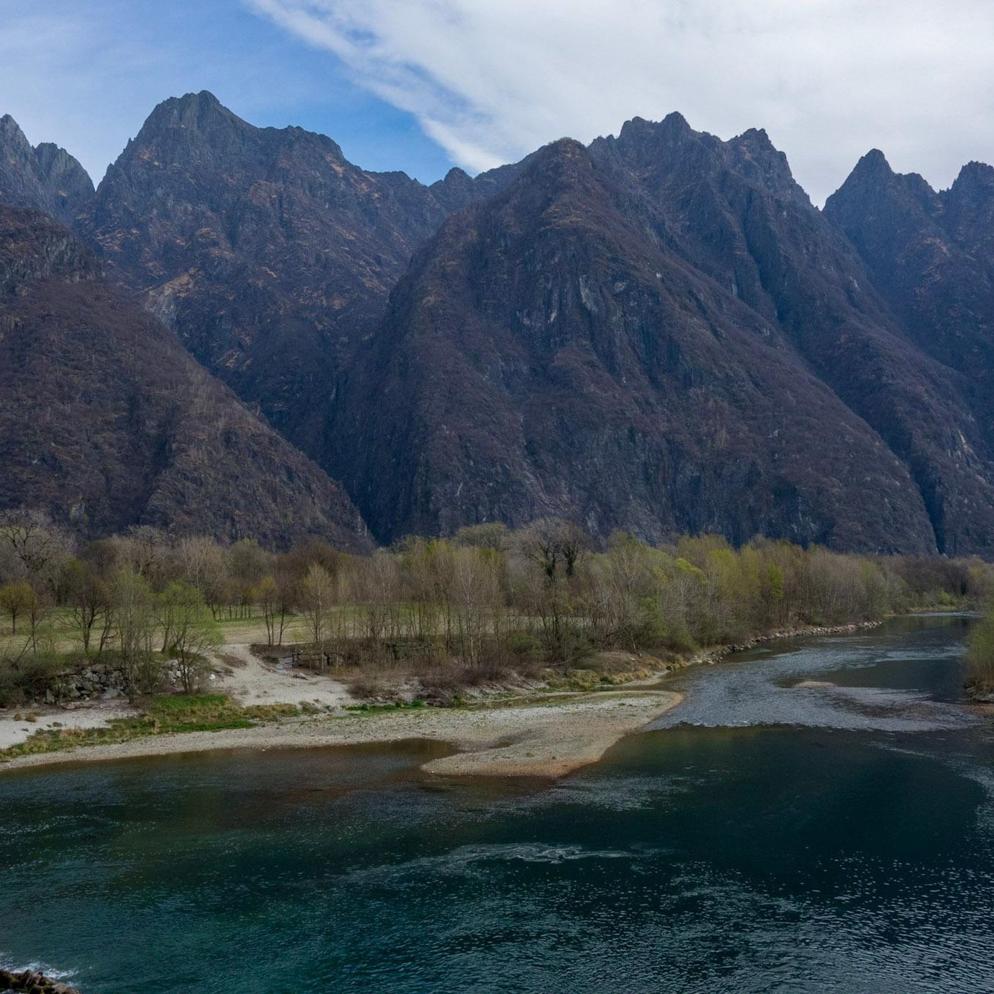
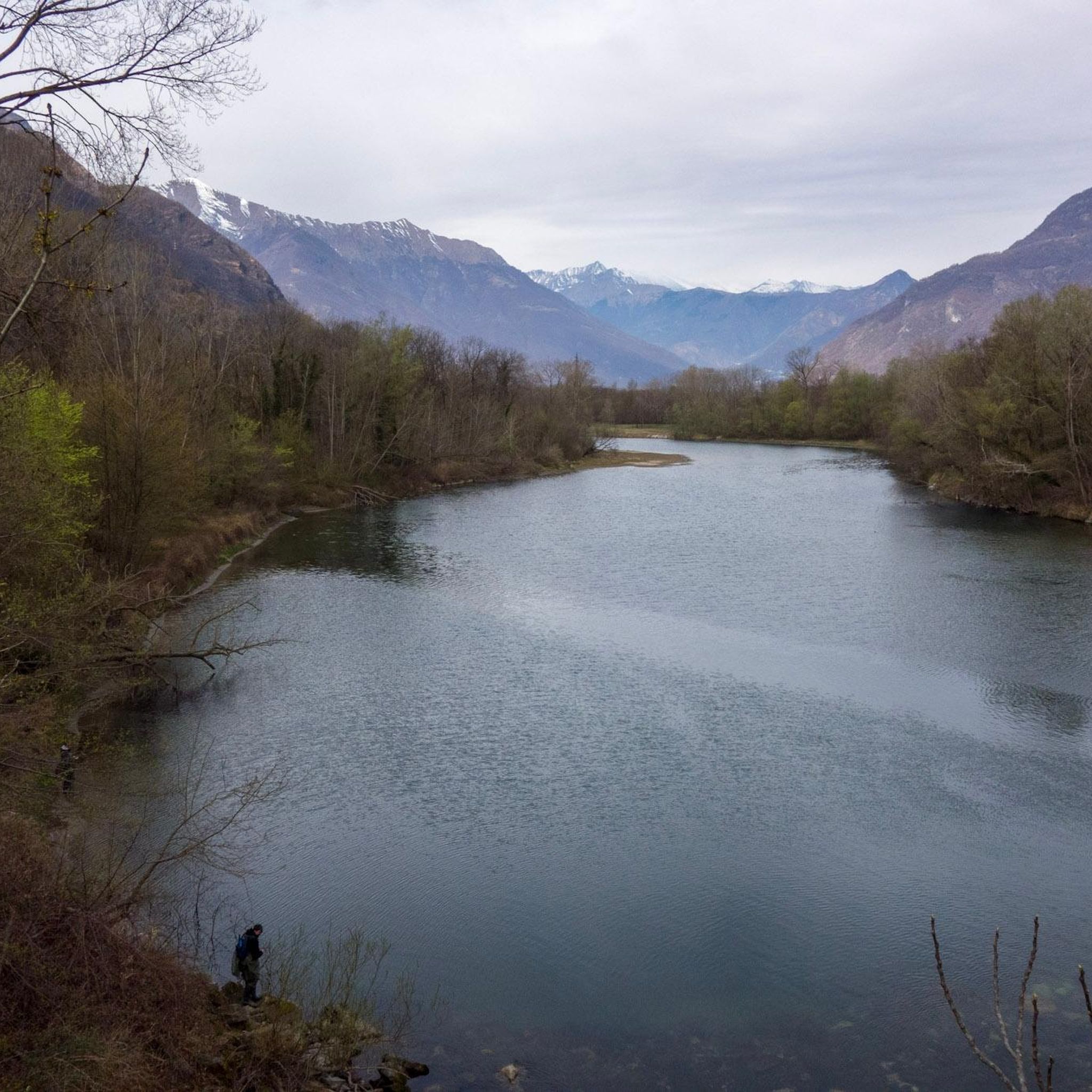
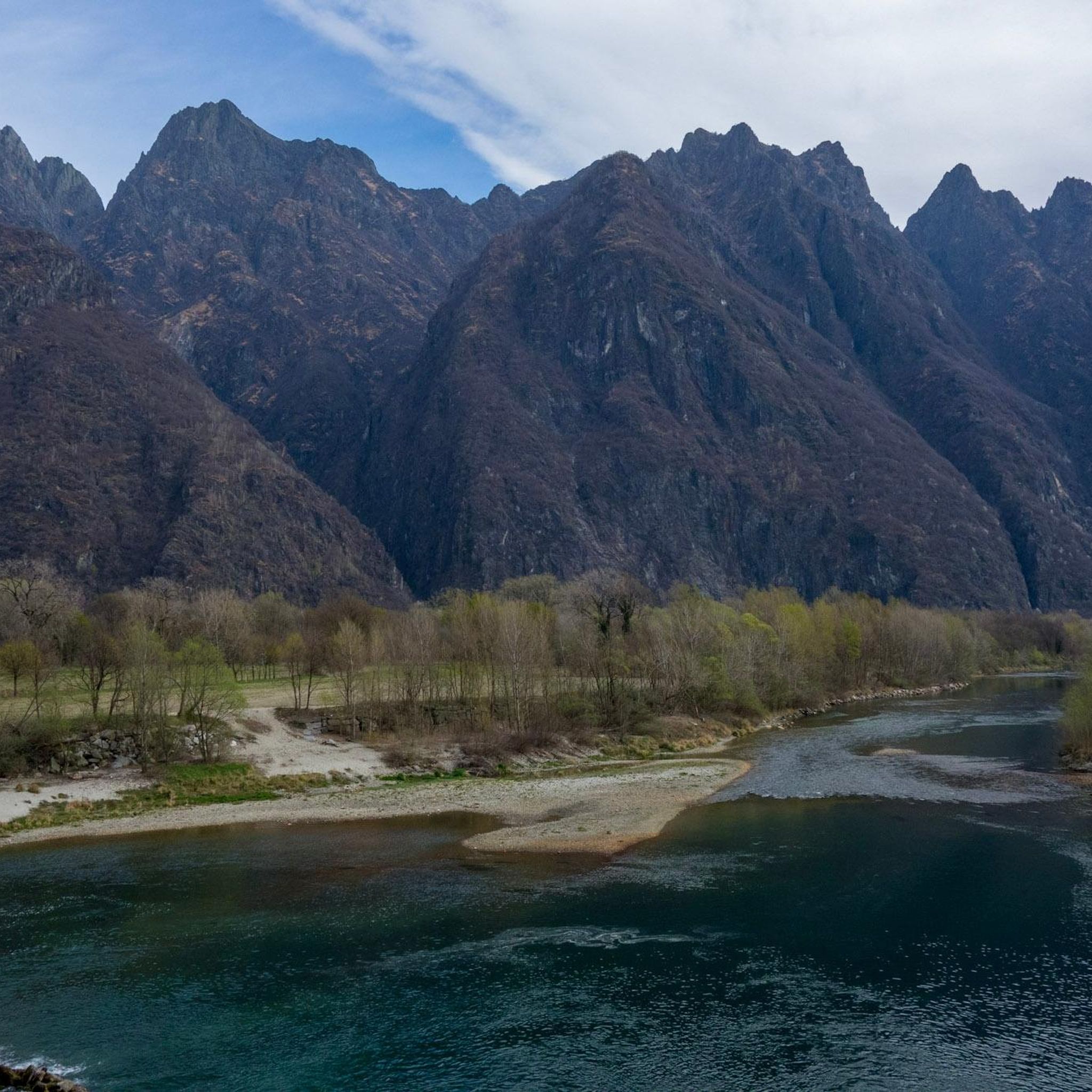
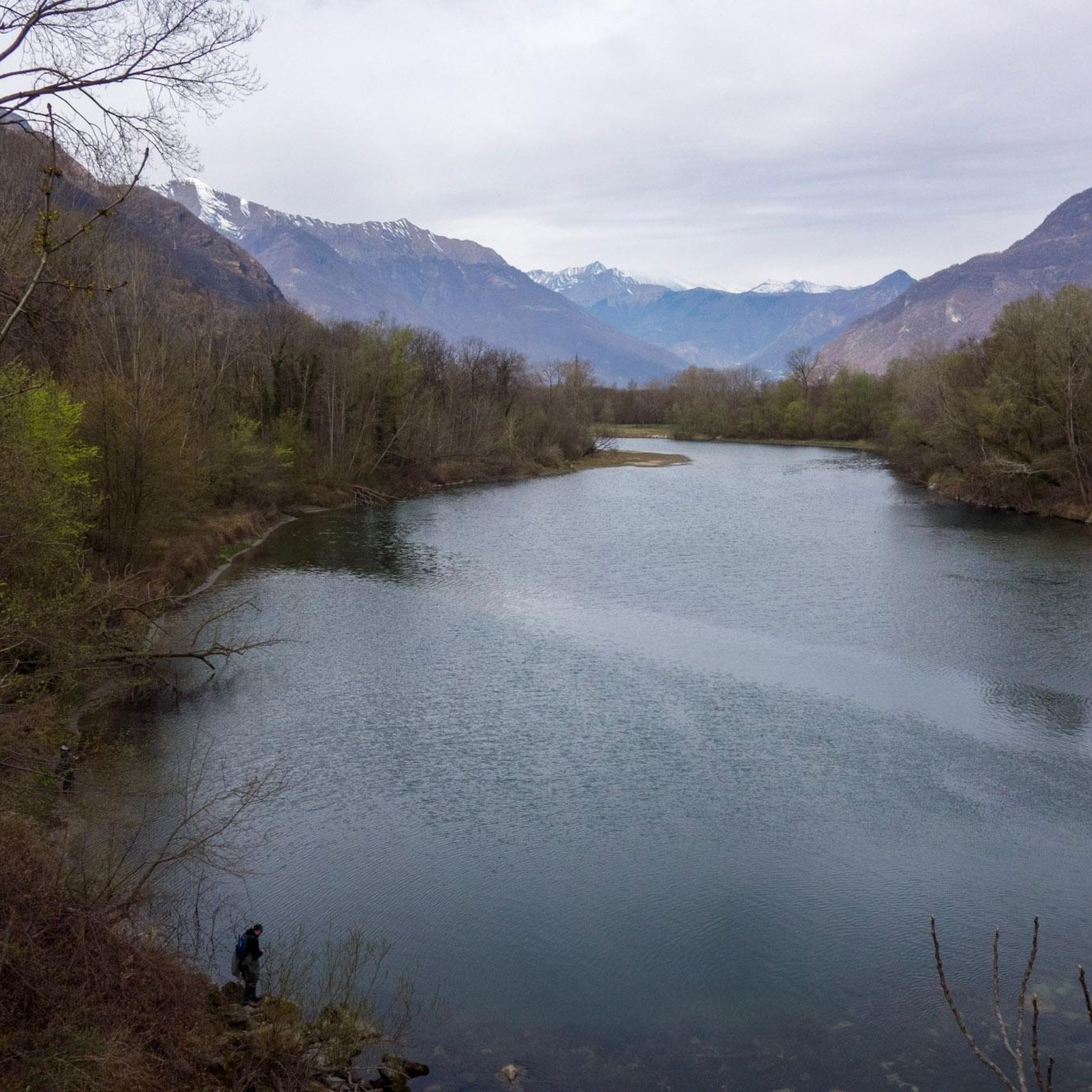
Hiking around Anzola D'Ossola offers access to trails within the Val d'Ossola region, characterized by its valleys, hills, and forested areas. The landscape features varied terrain, from river valleys to higher alpine pastures and viewpoints. Elevation changes are common, providing diverse hiking experiences. The area provides a network of trails suitable for exploring the natural environment.
Best hiking trails around Anzola D'Ossola
- The most popular hiking route is Historic trail to Capraga Village (via A36 trail), a 4.8 miles…
Last updated: October 8, 2026
4.5
(17)
57
hikers
7.73km
03:54
750m
750m
Historic trail through abandoned alpine villages and terraced hillsides into Europe's largest wilderness.
4.3
(14)
56
hikers
9.67km
04:06
730m
730m
Hike the moderate 6.0-mile (9.7 km) From Colloro to the Village of Capraga loop, gaining 2394 feet (730 metres) with Val d'Ossola views.

4.5
(4)
23
hikers
7.96km
03:20
580m
580m
Hike the Alpe Lut Loop from Premosello-Chiovenda, a 4.9-mile moderate trail with 1908 feet of gain and stunning Val Grande views.
6
hikers
15.7km
07:55
1,410m
1,410m
Alpine trail through traditional stone villages to panoramic views at La Bocchetta Belvedere.
14.9km
08:04
1,540m
1,540m
Hike the difficult 9.3-mile Memorial of the Battle of Megolo Trail (via Route A39) to a WWII partisan memorial with 5055 feet of gain.
Get access to more routes and recommendations from other explorers.
Already have an account?
Our route recommendations are based on thousands of hikes, rides, and runs completed by other people on komoot.
Start today with a free account
Your next adventure awaits.

Tips from the Community


Sturdy footwear is recommended. There are some very old mountain villages along the route.
0
0

A fantastic place with a very beautiful view you can enjoy the Toce plain from the height of 700 m you are above Premosello in the province of Verbania, to reach this place from Premosello you have to pedal for seven 8 km with slopes on asphalt also challenging over 30% the suitable bicycle and the bikes , A lot of attention on the return downhill because if you let go of the bicycle you can reach 50 km per hour in a few seconds
0
0

Beautiful and simple walk (460 m altitude difference) from Colloro to Capraga (963 m), in the Valgrande National Park, with the possibility of doing a short circular tour from the church of San Bernardo to Capraga and back.
0
0

The Battle of Megolo is the clash that took place on February 13, 1944 between the partisan troops of the Beltrami formation and the Nazi-fascist forces at the Cortavolo alp. In the unequal clash, commander Filippo Maria Beltrami and 11 other partisans lost their lives.
0
0

Colloro is a village on the outskirts of the Vla Grande National Park. The surrounding area is full of terraces and numerous excursion itineraries start from here.
1
0
Capraga is made up of a cluster of pastures, no longer permanently inhabited today, surrounded by meadows as far as the eye can see.
2
0
Frequently Asked Questions
How many hiking trails are available around Anzola D'Ossola?
There are over 250 hiking routes in the Anzola D'Ossola area. These trails vary in difficulty, offering options from easy walks to more challenging ascents through the Val d'Ossola region.
Are there easy hiking options suitable for beginners or casual walkers?
Yes, Anzola D'Ossola offers about 35 easy hiking routes. These trails typically feature less elevation gain and shorter distances, making them ideal for beginners or those looking for a relaxed outdoor experience.
What kind of terrain can I expect on hikes near Anzola D'Ossola?
The terrain around Anzola D'Ossola is diverse, characterized by river valleys, forested hills, and higher alpine pastures. You can expect varied landscapes with elevation changes, offering different hiking experiences from moderate climbs to more demanding ascents.
Are there any circular hiking routes in the area?
Yes, there are several circular routes. One popular option is the Capraga from Premosello, loop via Colloro, which is a moderate 6.0-mile (9.7 km) path. Another is the Alpe Lut Loop from Premosello-Chiovenda, a 5.0-mile (8.0 km) trail leading through alpine pastures.
What are some interesting natural attractions or landmarks to see while hiking?
The region offers several natural attractions. You might encounter the Historic Fountain and Small Waterfall at Lake Mergozzo, or explore the impressive San Bernardino Gorge within the Val Grande National Park. Summits like Monte Mazzuccone and Mont'Orfano also offer panoramic views.
Are there any trails that lead to historic villages or points of cultural interest?
Yes, the Historic trail to Capraga Village (via A36 trail) is a notable route. This 4.8-mile (7.7 km) moderate trail leads directly to a historic village, offering insights into the local heritage and traditional architecture.
What do other hikers say about the trails in Anzola D'Ossola?
The trails in Anzola D'Ossola are highly rated by the komoot community, with an average score of 4.5 stars from over 2,300 reviews. Hikers often praise the varied terrain, the well-maintained paths, and the scenic beauty of the Val d'Ossola region.
Are there any challenging long-distance hikes for experienced trekkers?
For experienced trekkers, routes like the A25 trail from Madonna del Boden to La Bocchetta Belvedere offer a significant challenge, covering over 9.7 miles (15.6 km) with substantial elevation gain. Another demanding option is the Beltrami Trail, which is nearly 9.3 miles (14.9 km) long and features considerable ascents.
Is there public transport available to reach trailheads around Anzola D'Ossola?
While specific public transport details for every trailhead are not provided, the Val d'Ossola region generally has local bus services connecting towns. It's advisable to check local transport schedules for routes serving the specific starting points of your chosen hikes.
Are there any places to eat or get refreshments along the trails?
Some routes may pass near or through villages where cafes or small shops are available. Additionally, you might find mountain huts (rifugi) like Alpe Lut or Fantoli Hut on higher elevation trails, which often offer refreshments or meals during peak seasons. Always carry sufficient water and snacks, especially on longer routes.
What is the best time of year to go hiking in Anzola D'Ossola?
The best time for hiking in Anzola D'Ossola is typically from late spring (May) through early autumn (October). During these months, the weather is generally mild, trails are clear of snow at lower to mid-altitudes, and the natural scenery is vibrant. Higher alpine routes are best enjoyed in summer (July-August).
Are there any opportunities for wild swimming near hiking trails?
While specific wild swimming spots directly adjacent to trails are not detailed, the region is home to bodies of water like Lake Mergozzo. Some trails may offer views or access to rivers and streams where you might find suitable, safe spots for a dip, but always exercise caution and check local regulations.
Most popular routes around Anzola D'Ossola
Most popular attractions around Anzola D'Ossola

Get inspired with the komoot mobile app


Explore more
Browse the best Hikes in other regions.
