The best walks and hikes around Bannio Anzino
4.4
(1137)
5,264
hikers
33
hikes
Hiking around Bannio Anzino offers diverse landscapes within the Valle Anzasca, providing views of the Monte Rosa massif. The region features rugged alpine terrain, with trails often following the Olocchia creek through beech and pine forests. Numerous mountain peaks, passes, and lakes characterize the area, presenting varied terrain for outdoor enthusiasts.
Best hiking trails around Bannio Anzino
- The most popular hiking route is B19 Trail: Parcineto to Pizzetto Peak, a 7.6 miles (12.3 km) trail that takes 6 hours 21 minutes to complete. This difficult route offers panoramic views of the Monte Rosa massif.
- Another top favourite among local hikers is Ascent to Monte Cimone with visit to Villa Aprilia, a difficult 7.7 miles (12.4 km) path. This trail includes an ascent to Monte Cimone and passes the ruins of Villa Aprilia.
- Local hikers also love the Anzino - Corno di Scarpignano Trail (B11), a 10.9 miles (17.6 km) trail leading through alpine pastures and ridges, often completed in about 9 hours 30 minutes.
- Hiking around Bannio Anzino is defined by alpine environments, views of the Monte Rosa massif, and treks through forests and mountain passes. The network offers options for various ability levels, from easy walks to challenging alpine routes.
- The routes in Bannio Anzino are highly rated by the komoot community with an average score of 4.4 stars from over 900 reviews. More than 4000 hikers have used komoot to explore Bannio Anzino's varied terrain.
Last updated: October 10, 2026
4.4
(9)
53
hikers
12.3km
06:21
1,070m
1,070m
Hike the difficult B19 Trail: Parcineto to Pizzetto Peak, a 7.6-mile route with 3526 feet of gain, offering magnificent summit views.
4.7
(9)
32
hikers
12.4km
06:39
1,170m
1,170m
Hard hike. Very good fitness required. Mostly accessible paths. Sure-footedness required.

3
hikers
17.6km
09:30
1,520m
1,530m
Hike the difficult 11.0-mile Anzino - Corno di Scarpignano Trail (B11) for panoramic views of Monte Rosa and rugged terrain.
2
hikers
11.3km
06:14
1,060m
1,070m
Hike the difficult B13: Parcineto - Colle Dorchetta Trail, a 7.0-mile route with 3492 feet of gain and views of Monte Rosa.
1
hikers
5.35km
02:47
440m
430m
Hike the difficult Bocchetto - Alpe Pie di Baranca Loop, a 3.3-mile route in Valle Olocchia with 1435 feet of elevation gain.
Get access to more routes and recommendations from other explorers.
Already have an account?
Our route recommendations are based on thousands of hikes, rides, and runs completed by other people on komoot.
Start today with a free account
Your next adventure awaits.
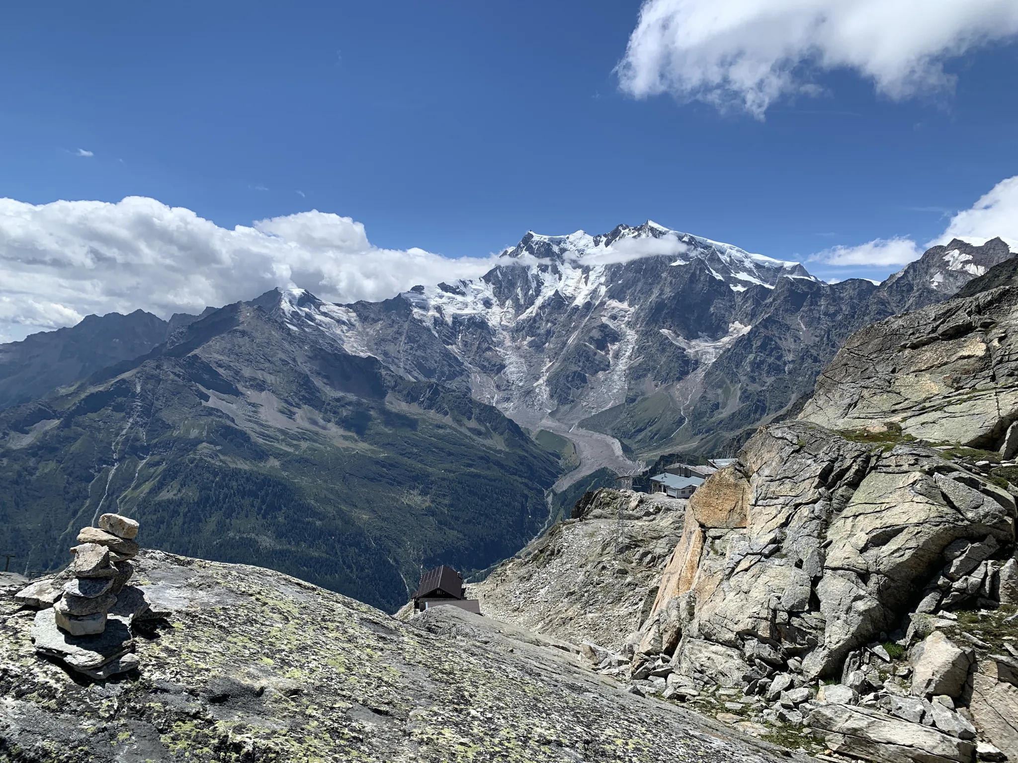
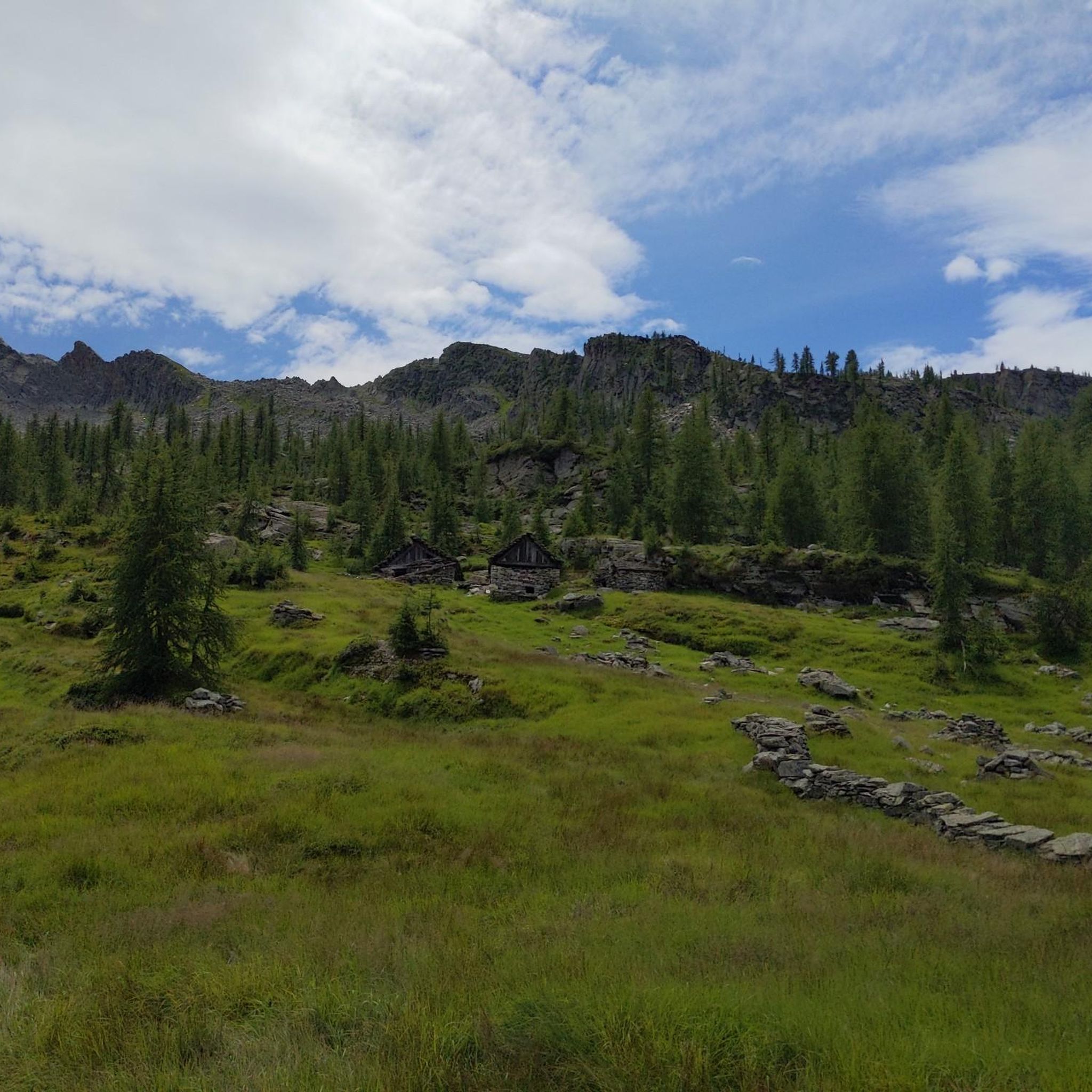
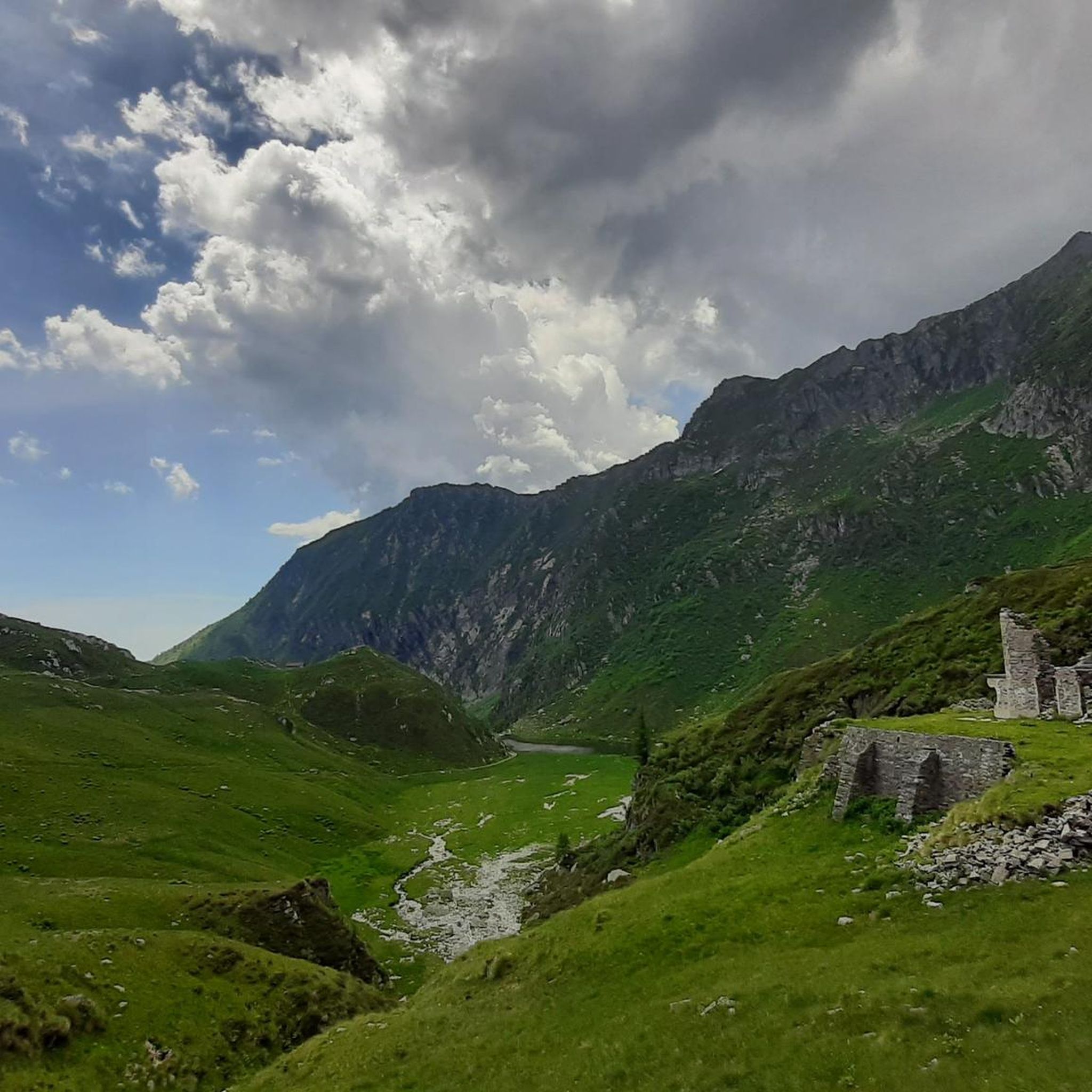
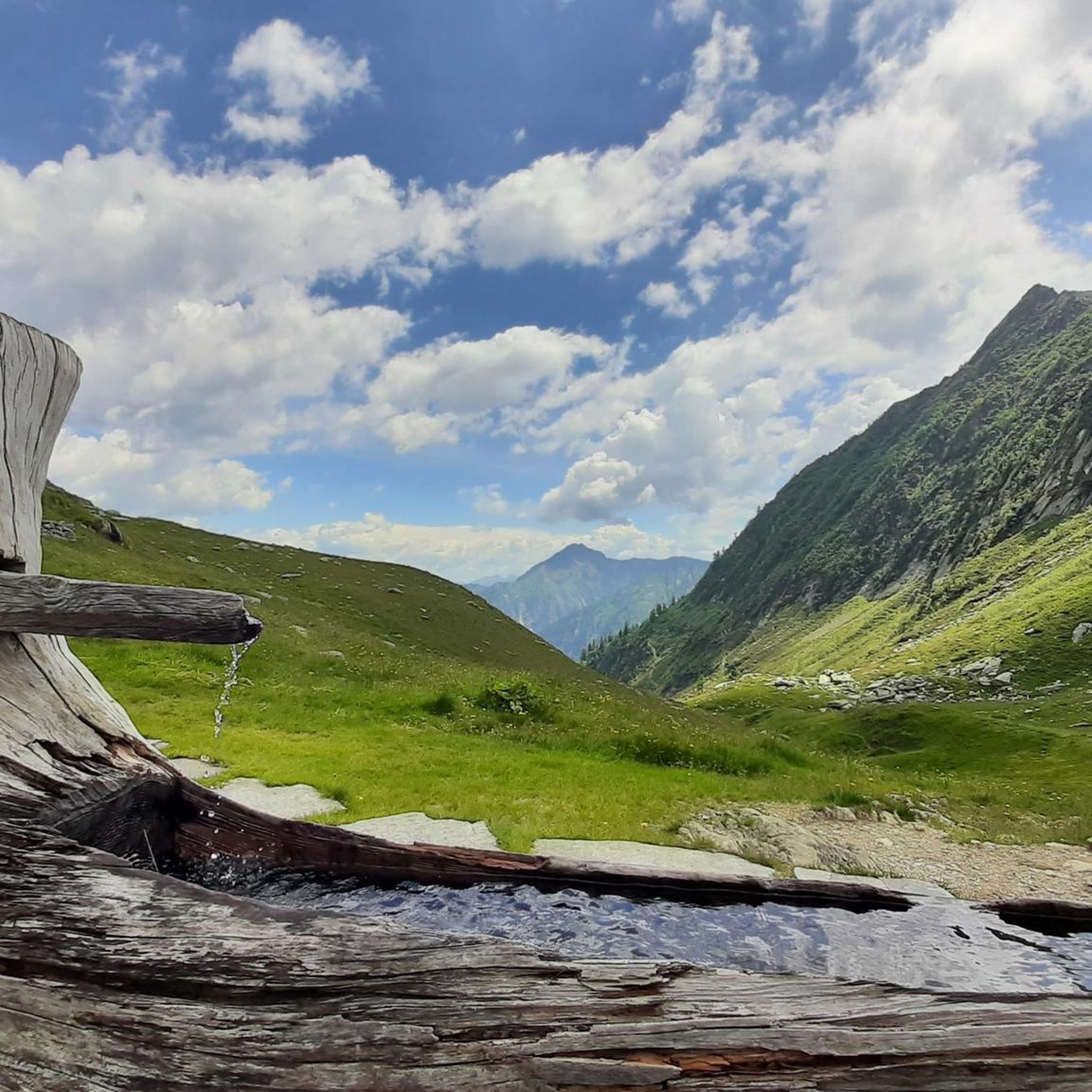
Other adventures around Bannio Anzino

Tips from the Community

For those who, in addition to the classic trip to Col d'Egua, want to add some elevation gain, an even wider view, and some easy passages over rocks, Monte Cimone is perfect
0
0

Historical place of primary importance at 1800 meters. For centuries trade exchanges have taken place and also thanks to the proximity of Lake Baranca. The Hotel was the center of the market. One of the most beautiful mountain pastures in the area.
0
0
Beautiful historical finds of Villa Aprilia, ruins of a historic villa still owned by the Lancia family. Location: Alpe Selle di Baranca (1824 m above sea level) is located on an alp above Lake Baranca, where the Anzasca Valley comes into contact with the Val d'Egua, a side valley of Valsesia. ATTENTION: the ruins are open but unsafe so maximum caution.
1
0
Beautiful peak between Valle Anzasca and Valsesia with magnificent views of the surrounding valleys and alps.
1
0
Pass connecting Valle Barranca, Valsesia and Valle Anzasca. Suggestive step in a very fascinating wild area.
0
0

Prime location to look forward to. Enjoy the beautiful 360° panoramic views. At an altitude of 2,239 meters, this is your reward for standing here.
3
0

Colle d'Egua, at 2,239 meters above sea level, is a connection between Fobello and Carcoforo, known for the magnificent panorama it offers on Monte Rosa, which here exhibits all its peaks exceeding 4,000 metres. In this area there is also a bivouac that bears the same name as the hill. The surrounding trails vary between easy and technical sections, but most of them are suitable for running. The shortest route to reach this splendid panorama is from Carcoforo, but it is also possible to take a longer itinerary starting from Ceppo Morelli.
6
0
Location where three valleys meet. Location has always been a strategic place in the past. Trade was literally carried on at a high level here. Historical explanation: A prime location at an altitude of 1800 meters where trade was conducted at a high level for centuries. The location at Lake Baranca was traded from the three valleys that converge here. At this commercial building 'Albergo...' was the center of the marketplace. Take your time to think back in time. Hear the braying of the donkeys... Enjoy the sales pitches. It's a busy place here when the merchandise has changed hands and the goods are loaded on another donkey into the other valley, on their way to a new marketplace in the valley below. We can no longer imagine trading at a high level of this order. Still a place to muse and fantasize.
2
0
Frequently Asked Questions
What types of hiking trails are available in Bannio Anzino?
Bannio Anzino offers a diverse range of hiking trails, from easy walks through forests to challenging alpine treks. The region features rugged alpine terrain, with routes often following the Olocchia creek through beech and pine forests, and leading to numerous mountain peaks, passes, and lakes. You'll find options for various ability levels.
How many hiking routes can I explore in Bannio Anzino?
There are over 30 hiking routes available to explore in Bannio Anzino. These include 3 easy routes, 8 moderate routes, and 20 difficult routes, ensuring options for every experience level.
Are there any circular or loop trails in the area?
Yes, Bannio Anzino features several loop trails. One example is the challenging Bocchetto - Alpe Pie di Baranca Loop, which covers about 5.3 kilometers and offers a significant elevation gain.
What kind of natural features can I expect to see on the trails?
Hikers in Bannio Anzino can expect to encounter breathtaking natural features. Many trails offer panoramic views of the majestic Monte Rosa massif. You'll also find peaceful treks along the Olocchia creek, through beech and pine forests, and discover waterfalls, mountain peaks, passes like Colle Dorchetta, and serene alpine lakes.
Are there any historical or cultural points of interest along the hikes?
Yes, the region is rich in history. Some hikes allow you to explore the evocative historic centers of Bannio and Anzino, with their rural and noble houses. The area also has a history of gold mining, and you might encounter remnants of this past. For example, the difficult Ascent to Monte Cimone trail passes the ruins of Villa Aprilia, an historic villa once owned by the Lancia family.
What are some notable landmarks or attractions near the hiking trails?
Beyond the trails themselves, you can find several significant landmarks. The Golden Madonna Statue at Monte Moro Pass is a prominent feature marking the border between Italy and Switzerland. The area also boasts several mountain passes like Colle del Turlo (2738 m) and Colle d'Egua, offering stunning vistas.
Are there any waterfalls to visit while hiking in Bannio Anzino?
Yes, the region is home to several beautiful waterfalls. You can discover the Sajont Waterfall, Rio Passone Waterfalls, and the Rio Pissa Waterfall, among others, adding to the scenic beauty of your hike.
What is the best time of year to go hiking in Bannio Anzino?
Given its alpine environment, the best time for hiking in Bannio Anzino is typically from late spring through early autumn (May to October). During these months, the weather is generally more favorable, and trails are clear of snow, allowing access to higher elevations and passes. Winter hiking is possible but requires specialized gear and experience due to snow and ice conditions.
What do other hikers enjoy most about the trails in Bannio Anzino?
The trails in Bannio Anzino are highly rated by the komoot community, with an average score of 4.4 stars from over 900 reviews. Hikers frequently praise the stunning panoramic views of the Monte Rosa massif, the serene treks through forests, and the challenging yet rewarding alpine routes that offer profound mountain silence.
How long do hikes in Bannio Anzino typically take?
Hike durations vary significantly based on difficulty and distance. Easy walks might take under 2 hours, while moderate paths could be 2-4 hours. More demanding excursions, such as the Anzino - Corno di Scarpignano Trail (B11), can take around 9 hours 30 minutes to complete, covering over 17 kilometers with substantial elevation gain.
Are there any challenging alpine treks for experienced hikers?
Absolutely. Bannio Anzino is known for its challenging alpine routes. Experienced hikers can tackle trails like the B19 Trail: Parcineto to Pizzetto Peak, which is a difficult 12.3 km route with over 1000 meters of elevation gain, or the B13: Parcineto - Colle Dorchetta Trail, another demanding route through the mountains.
Most popular attractions around Bannio Anzino

Get inspired with the komoot mobile app


Explore more
Browse the best Hikes in other regions.
