The best mountain hikes around Cambiasca
4.8
(82)
385
hikers
9
hikes
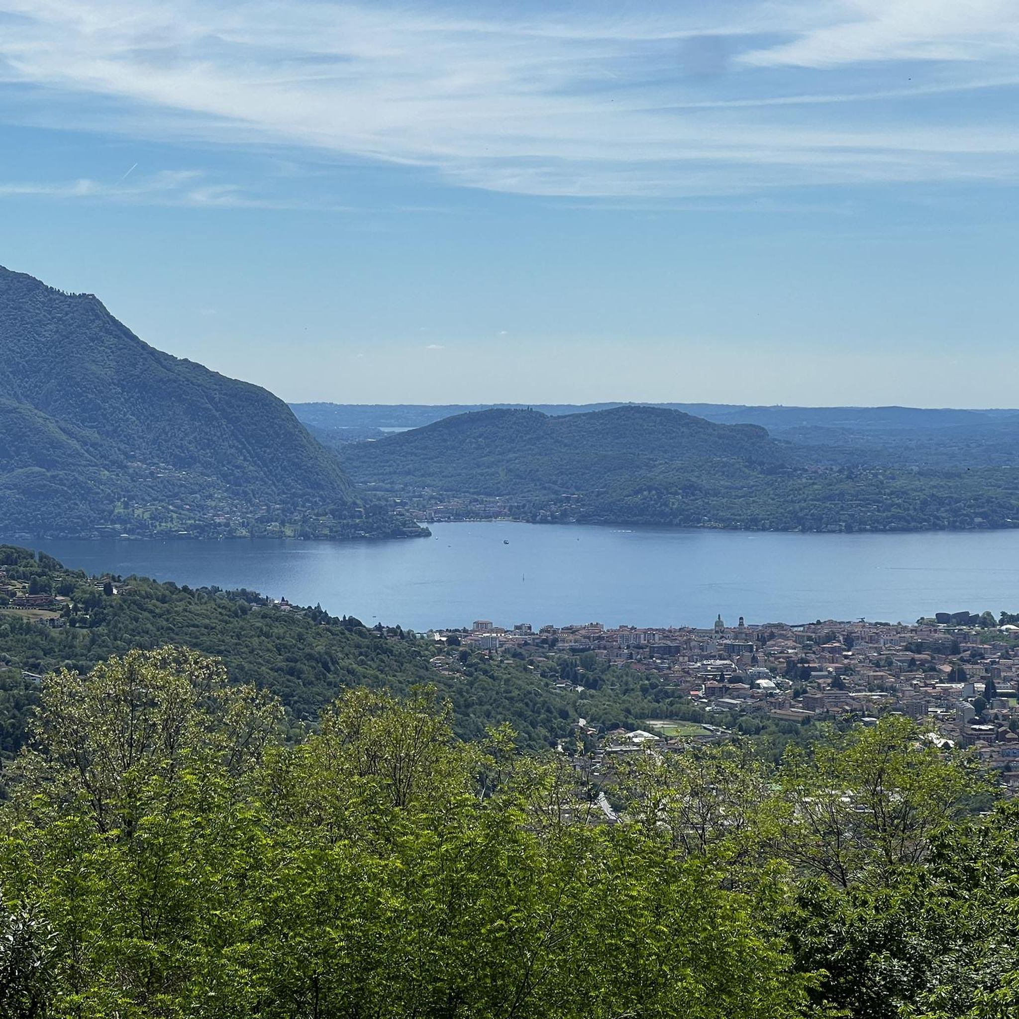
Mountaineering routes around Cambiasca, nestled in Italy's Piedmont region, offer diverse terrain for outdoor enthusiasts. The area is characterized by dramatic natural features, including numerous mountain peaks and expansive views of Lake Maggiore. The nearby Val Grande National Park, often described as Europe's largest wilderness, features high alpine landscapes and dense woods. This region provides a variety of challenging ascents and scenic paths through its mountainous environment.
Best mountaineering routes around Cambiasca
- The most popular mountaineering route is Americans' Quarry…
Last updated: October 8, 2026
5.0
(4)
23
hikers
7.81km
03:56
610m
610m
Hard mountaineering route. Good fitness required. Sure-footedness, sturdy shoes and alpine experience required.
5.0
(2)
24
hikers
8.26km
02:49
410m
410m
Moderate mountaineering route. Good fitness required. Mostly accessible paths. Sure-footedness required.

4.7
(6)
16
hikers
8.04km
04:25
680m
680m
Hard mountaineering route. Good fitness required. Sure-footedness, sturdy shoes and alpine experience required.
7
hikers
Hard mountaineering route. Good fitness required. Sure-footedness, sturdy shoes and alpine experience required.
5.0
(2)
7
hikers
7.61km
03:24
560m
560m
Hard mountaineering route. Good fitness required. Sure-footedness, sturdy shoes and alpine experience required.
Get access to more routes and recommendations from other explorers.
Already have an account?
Our route recommendations are based on thousands of hikes, rides, and runs completed by other people on komoot.
Start today with a free account
Your next adventure awaits.
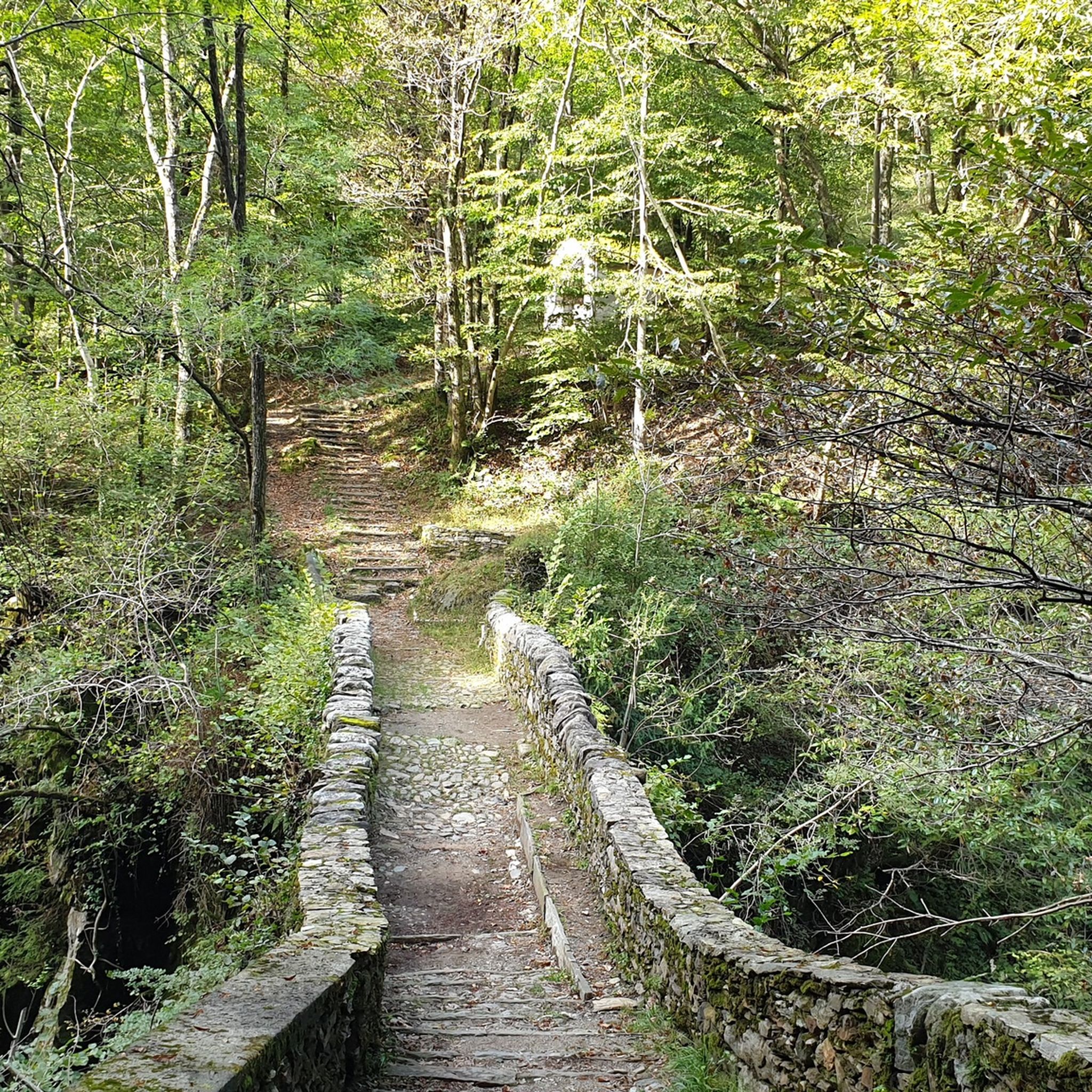
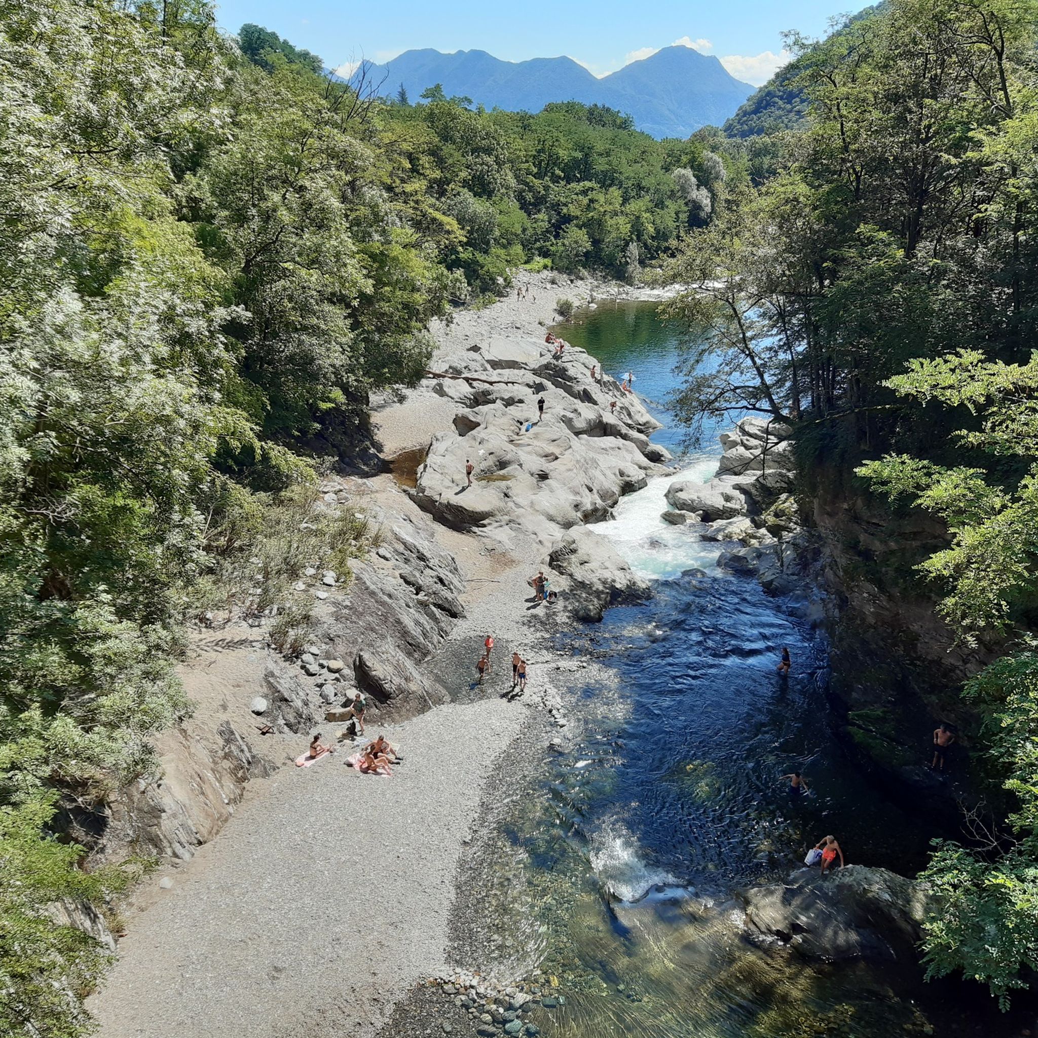
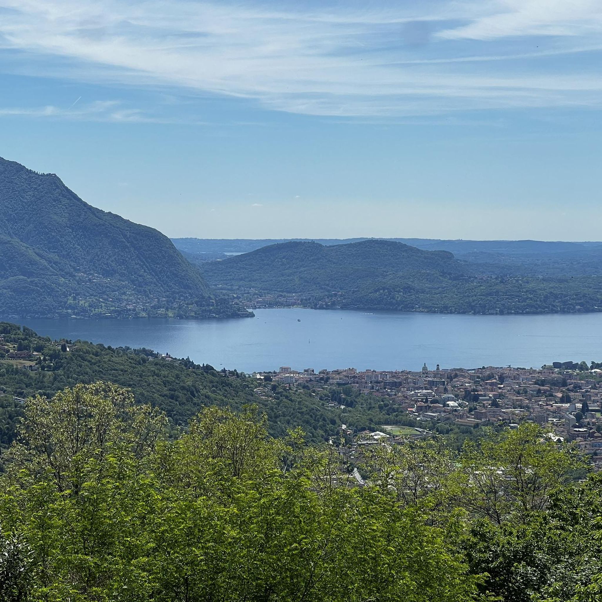

Tips from the Community

Small space equipped with signs on the history of stonemasons.
0
0

Getting to the top is exciting.
0
0
Very fun short exposed section
1
0

A beautiful panoramic viewpoint, also a great place to catch your breath on the trail leading to the summit from Montorfano. The trail isn't exactly easy, technically speaking.
0
0

Beautiful hike to the summit! Quite steep, but absolutely worth it!
2
0

The Little Cemetery of Montorfano
1
0


Exciting, but only in Italian and English
0
0
Frequently Asked Questions
How many mountaineering routes are available around Cambiasca?
There are over 10 dedicated mountaineering routes around Cambiasca, offering a variety of experiences for outdoor enthusiasts. These routes are highly rated by the komoot community, with an average score of 4.8 stars from more than 80 reviews.
What are the typical difficulty levels for mountaineering routes in this region?
The mountaineering routes around Cambiasca range from moderate to difficult. You'll find a good selection of challenging ascents, with 9 routes classified as difficult and 4 as moderate, ensuring options for various skill levels.
Are there any circular mountaineering routes in Cambiasca?
Yes, many of the routes around Cambiasca are circular, allowing you to start and end at the same point. For example, the Americans' Quarry loop from Baveno and the Pogallo Village – Strada Sutermeister Trail loop from Cicogna are both popular circular options.
What kind of views can I expect on the mountaineering trails?
The routes offer stunning panoramic views. You can expect expansive vistas of Lake Maggiore and the surrounding mountains. Trails like the Scenic viewpoint – View of Montorfano loop from Mergozzo are specifically designed to highlight these breathtaking landscapes, including views of Lake Mergozzo.
Are there any routes suitable for beginners or those looking for a less strenuous climb?
While many routes are challenging, there are moderate options available. The Pogallo Village – Strada Sutermeister Trail loop from Cicogna is a moderate 6.1-mile path that traverses through the wild landscapes of Val Grande National Park, offering a rewarding experience without the extreme difficulty of some other routes. Another moderate option is the Scenic viewpoint – View of Montorfano loop from Riserva Naturale del Fondo Toce.
What are some of the longer or more challenging routes for experienced mountaineers?
For experienced mountaineers seeking a significant challenge, the Rifugio Fantoli Antonio loop from Mergozzo is a difficult 7.9-mile route with over 1000 meters of elevation gain. The Americans' Quarry loop from Baveno is another difficult option, spanning 5.2 miles with substantial elevation.
Can I find any waterfalls or natural pools along the mountaineering routes?
Yes, the broader Verbano-Cusio-Ossola province, where Cambiasca is located, is known for its natural water features. You might encounter highlights such as the Pogallo River Natural Pools or the La Pisarota Waterfall, which add to the scenic beauty of the area.
What other attractions or landmarks can I explore near the mountaineering trails?
Beyond the trails, the region offers several points of interest. You can visit the UNESCO World Heritage site of Sacro Monte of Ghiffa for its cultural significance and views, or explore the charming Lake Mergozzo. The Stone Bridge Over the San Bernardino Gorge is another notable landmark.
What is the best time of year for mountaineering in Cambiasca?
The best time for mountaineering in Cambiasca is generally during the warmer months, from late spring to early autumn (May to October), when the weather is more stable and trails are clear of snow. This allows for optimal conditions to enjoy the stunning lake and mountain landscapes.
Is it possible to go mountaineering in winter around Cambiasca?
While some lower-altitude trails might be accessible, winter mountaineering in Cambiasca, especially in higher elevations and within Val Grande National Park, can be challenging due to snow, ice, and colder temperatures. It requires specialized gear, experience, and careful monitoring of weather and avalanche conditions. It's generally recommended for experienced winter mountaineers.
What kind of wildlife might I encounter on the trails?
The region, particularly within Val Grande National Park, is known for its rich flora and fauna. While specific sightings are never guaranteed, you might encounter various bird species, deer, chamois, and other alpine wildlife, especially in the quieter, more remote sections of the trails.
Are there any family-friendly mountaineering options?
While many routes are rated moderate to difficult, some sections or shorter loops might be suitable for families with older, experienced children. For easier walks with scenic views, consider exploring the areas around Lake Mergozzo or the lower paths near the Sacro Monte of Ghiffa, which offer less strenuous options than full mountaineering routes.
Most popular routes around Cambiasca
Most popular attractions around Cambiasca

Get inspired with the komoot mobile app


Explore more
Browse the best Mountain Hikes & Routes in other regions.
