The best mountain hikes around Trasquera
4.8
(5)
92
hikers
3
hikes
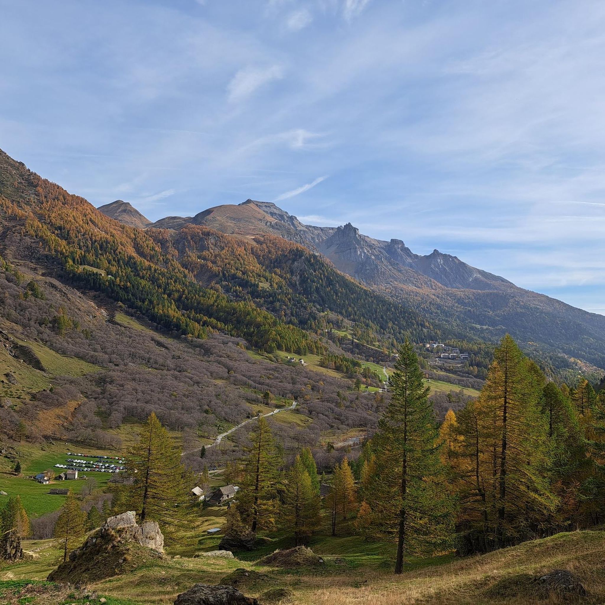
Mountaineering routes around Trasquera are set within Italy's Divedro Valley, offering diverse alpine landscapes. The region features challenging terrains, including the vast basin of Alpe Veglia and the pastures around Monte Cistella. Glaciated peaks like the Fletschhorn and Spitzhorli tower over the strategic Simplon Pass, providing a rugged environment for high-altitude pursuits. This area is characterized by its dramatic valleys, high mountain passes, and natural parks, making it a prime destination for experienced mountaineers.
Best mountaineering routes around Trasquera
- The…
Last updated: October 8, 2026
5.0
(1)
33
hikers
12.9km
07:56
1,160m
1,160m
Hard mountaineering route. Very good fitness required. Sure-footedness, sturdy shoes and alpine experience required.
24
hikers
Hard mountaineering route. Good fitness required. Sure-footedness, sturdy shoes and alpine experience required.

5.0
(1)
16
hikers
15.2km
09:07
1,560m
1,560m
Hard mountaineering route. Very good fitness required. Sure-footedness, sturdy shoes and alpine experience required.
5.0
(1)
10
hikers
4.77km
03:03
400m
400m
Hard mountaineering route. Good fitness required. Sure-footedness, sturdy shoes and alpine experience required.
5
hikers
Hard mountaineering route. Very good fitness required. Mostly accessible paths. Sure-footedness required.
Our route recommendations are based on thousands of hikes, rides, and runs completed by other people on komoot.
Start today with a free account
Your next adventure awaits.
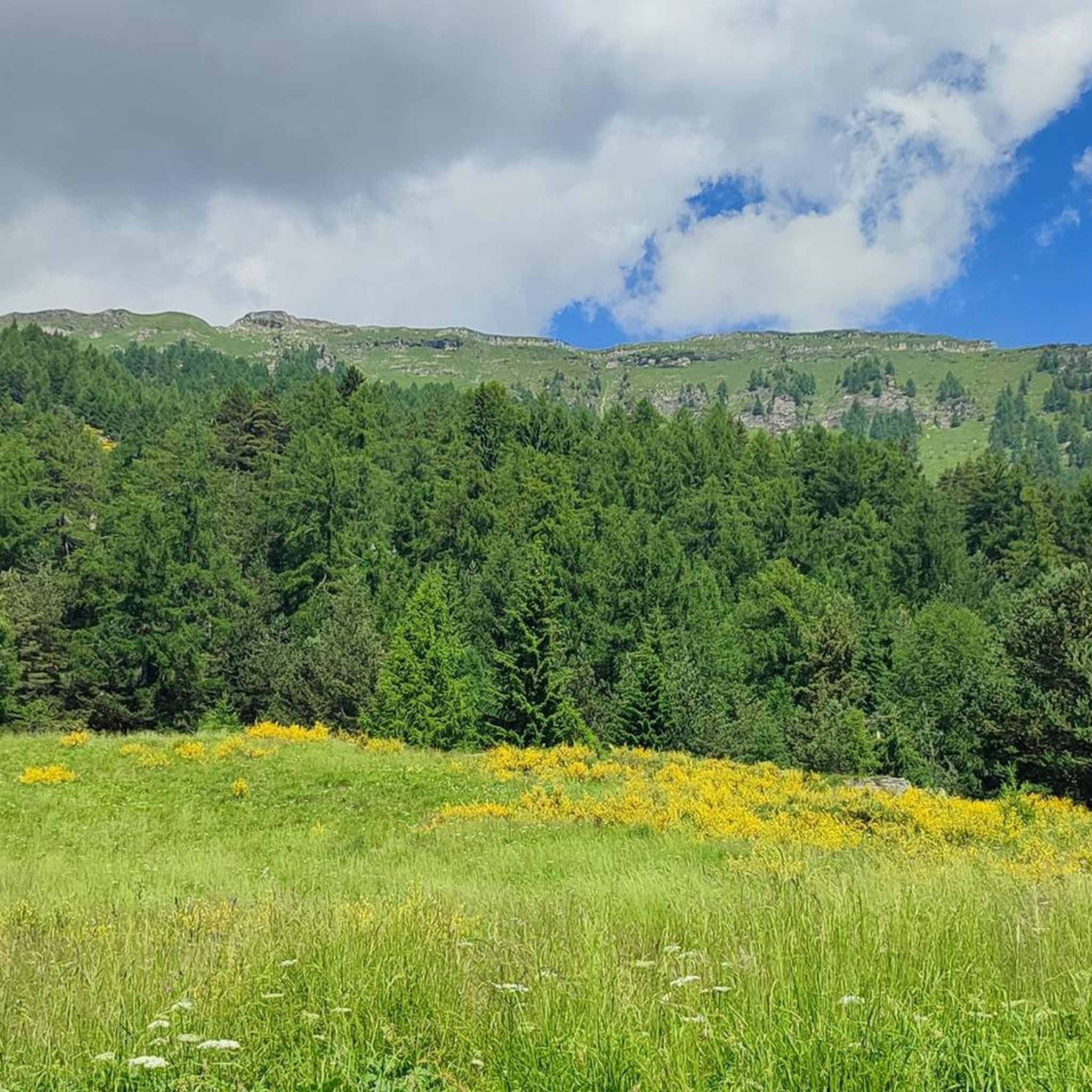
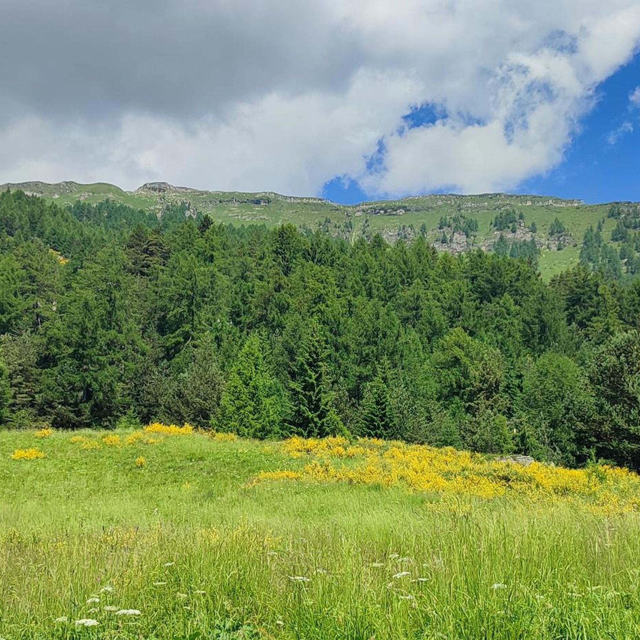
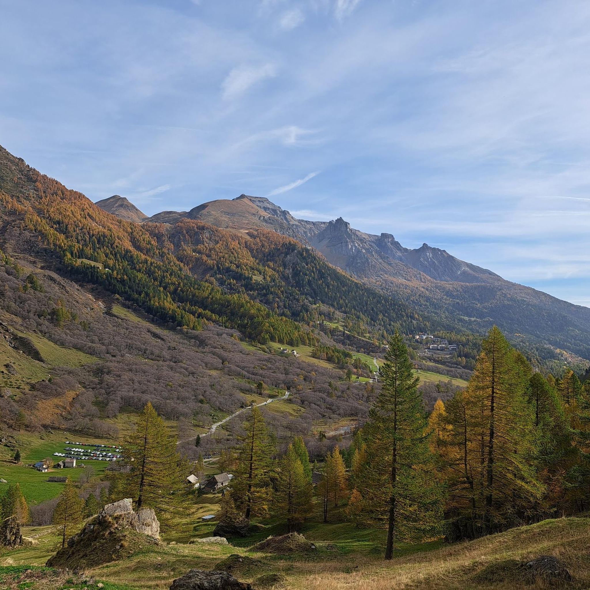
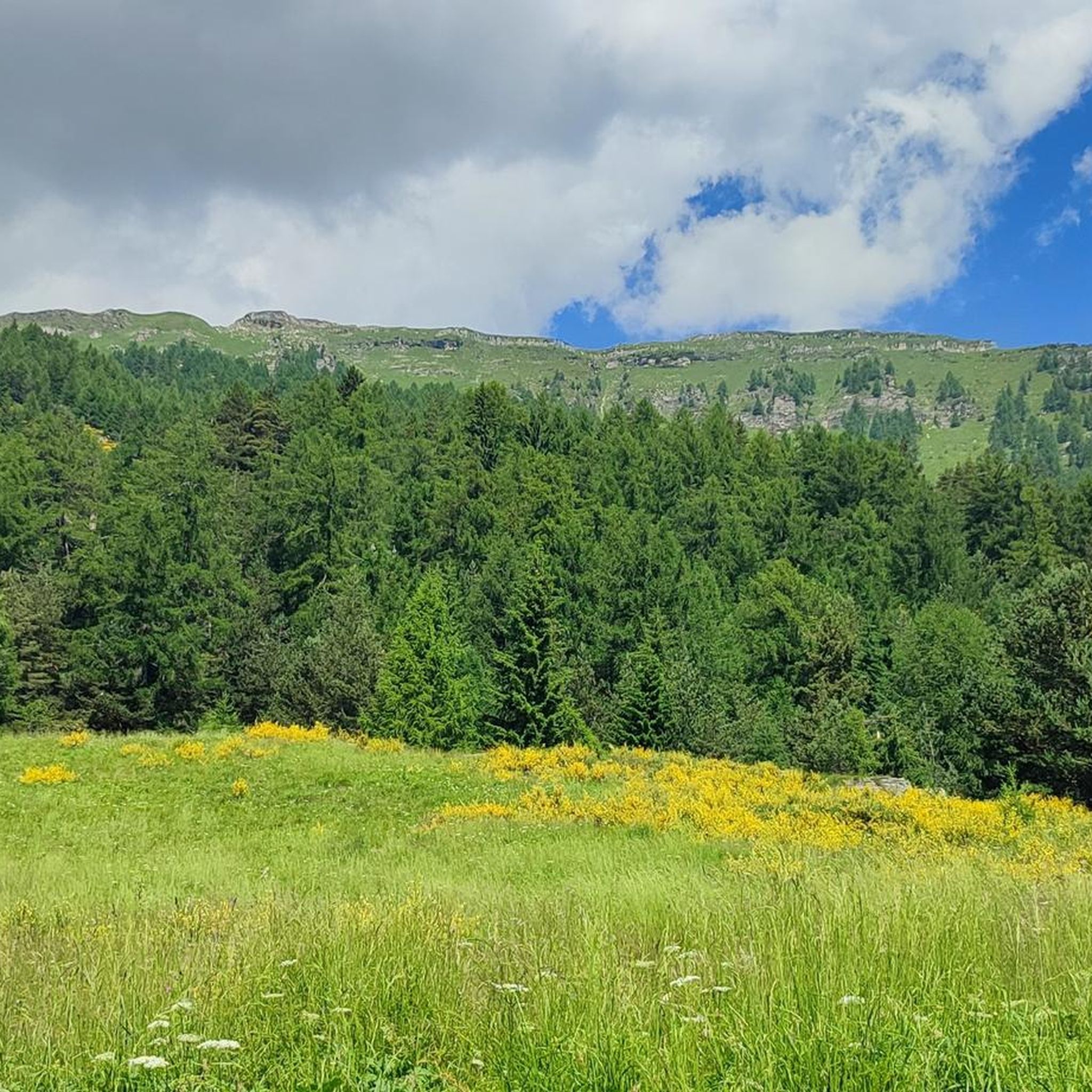
Tips from the Community

The Rifugio Gattascosa is located at 2,000 meters in the Italian Val Bognanco, just a few minutes' walk from the Swiss border. Surrounded by meadows and forests, the mountain hut is a popular stopover. The menu features regional specialties such as polenta, and accommodation for up to 20 guests is also available.
0
0

challenging walk for experts, very panoramic
0
0

Before the Monscera pass At the foot of the pass lies the homonymous lake, an almost mandatory stopover point.
0
0

At 2,103 meters above sea level, the Monscera Pass is a natural border between Switzerland and Italy that offers a breathtaking view of the Swiss Alps. From here the gaze sweeps over the famous "Simplon triptych" - Fletschhorn, Lagginhorn and Weissmies - with Monte Leone looming on the horizon. A unique vantage point to immerse yourself in the grandeur of these Swiss peaks.
2
0

A very steep climb but not particularly difficult, a bit slippery and on debris. But the view that appears to you as soon as you reach the top repays the effort to reach it.
0
0

a few more meters to enjoy the landscape, go there and let your eyes wander... your mind will follow
0
0
Run by three guys, delicious pear cake paid with SumUp, well done!
1
0

Beautiful lake where you can admire uncontaminated nature before reaching the refuge
0
0
Frequently Asked Questions
Are there mountaineering routes suitable for beginners in Trasquera?
While many routes around Trasquera present significant challenges, the region does offer areas suitable for learning. For instance, the Rocce Rosse School Zone is known as a 'natural gymnasium' with many easy routes, and the Rocca Verde Gyms provide well-equipped options for beginners. However, the specific mountaineering routes listed in this guide are generally rated as 'difficult'.
What are some advanced mountaineering challenges in Trasquera?
For experienced mountaineers, Trasquera offers several demanding challenges. The Mount Massone Spires area features impressive rock formations with vertical walls and overhangs. The Devil's Teeth area presents spectacular sharp ridges, and the North Face of the White Horn offers an even greater test. Routes like the Wasenhorn Summit Cross loop from Simplonpass and the Bortelgletscher loop from Berisal are also classified as difficult, traversing high alpine and glaciated environments.
Are there circular mountaineering routes available in Trasquera?
Yes, several mountaineering routes in Trasquera are designed as loops. Examples include the Wasenhorn Summit Cross loop from Simplonpass, which offers expansive views from the summit cross, and the Bortelgletscher loop from Berisal, which provides an immersive experience in a high-mountain setting. Another option is the Lago Ragozza – Lago di Monscera loop from Carta escursionistica Val Bognanco.
What natural features or viewpoints can I expect to see on mountaineering routes around Trasquera?
Mountaineering routes around Trasquera offer breathtaking views of the Simplon Pass mountains and diverse alpine landscapes, including high-altitude plateaus, dense forests, and expansive alpine meadows. You can expect to see glaciated peaks like the Fletschhorn and Spitzhorli. Notable highlights include the Simplon Pass and the Eagle Monument, and the serene Alpe Devero, known for its lakes and rugged peaks.
Are there routes that feature waterfalls or gorges?
Yes, the region around Trasquera is known for its impressive natural water features. The Start of Waserfall Via Ferrata – Ferrata Wasserfall Summit loop from Baceno involves a technical ascent through a landscape marked by waterfalls and rock formations. You can also explore highlights like the Giant's Kettles of the Toce, the Uriezzo South Gorge, and the impressive Le Caldaie del Diavolo waterfall.
When is the best time of year for mountaineering in Trasquera?
The best time for mountaineering in Trasquera generally aligns with the warmer months, typically from late spring through early autumn, when snow has melted at lower to mid-altitudes and weather conditions are more stable. However, high-altitude routes and glaciated areas may still require specific winter mountaineering skills and equipment even in summer. Always check local weather forecasts and trail conditions before heading out.
What essential gear should I bring for mountaineering in Trasquera?
Given the challenging and high-alpine nature of many routes around Trasquera, essential gear includes sturdy mountaineering boots, appropriate layers of clothing for varying weather conditions, a helmet, harness, and via ferrata set if tackling technical sections like the Waserfall Via Ferrata. Always carry a map, compass or GPS device, sufficient water and food, first-aid supplies, and sun protection. For glaciated routes, crampons and an ice axe may be necessary.
Where can I find parking or trailheads for mountaineering routes in Trasquera?
Trailheads for mountaineering routes around Trasquera are typically found near key access points such as Simplon Pass, Baceno, and Berisal. Specific parking information will vary by route. For example, the Wasenhorn Summit Cross loop starts from Simplonpass, which generally has parking facilities. It's advisable to check the individual route details on komoot for precise trailhead locations and parking availability.
What do other mountaineers say about the routes in Trasquera?
The mountaineering routes in Trasquera are highly rated by the komoot community, with an average score of 4.7 stars from over 4 reviews. Mountaineers often praise the challenging terrains, expansive views from summits, and the immersive experience in high-mountain and glaciated environments. The dramatic Divedro Valley and the pristine Alpe Veglia Natural Park are frequently highlighted as key attractions.
Are there any cultural or historical points of interest near the mountaineering routes?
Beyond the natural beauty, the region offers cultural and historical sites. You can explore the picturesque medieval village of Vogogna or visit the restorative spa of Val Vigezzo. An intriguing historical highlight is the Devil's Bridge (Diavolino bridge), which connects Trasquera to its hamlet Bugliaga, spanning a deep rift. This bridge, rebuilt in 1681, is particularly noteworthy for its exposed nature and lack of railings.
How many mountaineering routes are available around Trasquera?
There are several mountaineering routes available around Trasquera, with this guide featuring 5 distinct tours. These routes vary in length and elevation gain, offering diverse experiences within the challenging alpine landscapes of the Divedro Valley and surrounding areas.
Are the mountaineering routes around Trasquera suitable for families or dogs?
Many of the mountaineering routes around Trasquera are classified as 'difficult' and involve challenging terrains, high altitudes, and technical sections like via ferratas, making them generally less suitable for young children or inexperienced dogs. While some lower-altitude hiking trails might be more accessible, specific mountaineering routes require a good level of fitness and experience for both humans and animals. Always check individual route details for suitability and consider the safety of your companions.
Most popular attractions around Trasquera

Get inspired with the komoot mobile app


Explore more
Browse the best Mountain Hikes & Routes in other regions.
