The best mountain hikes around Cannero Riviera
4.9
(7)
43
hikers
8
hikes
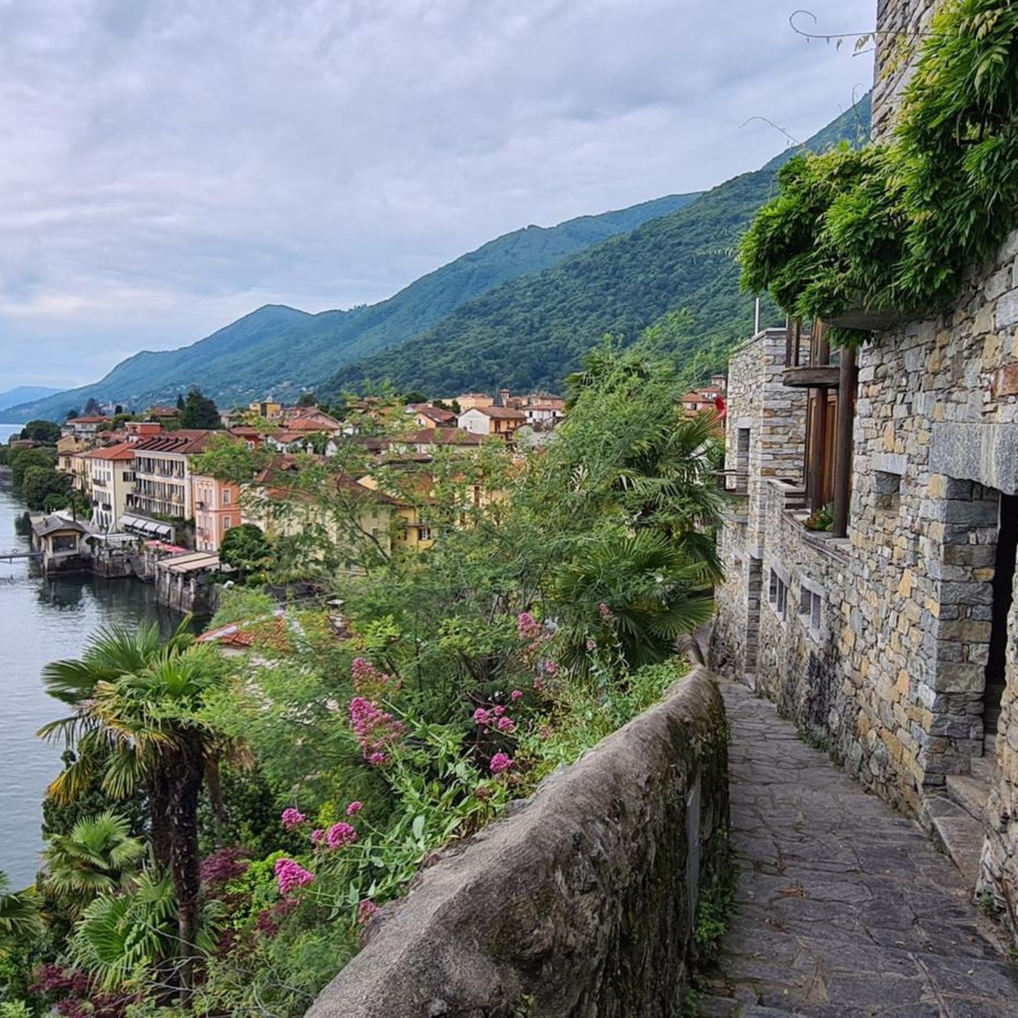
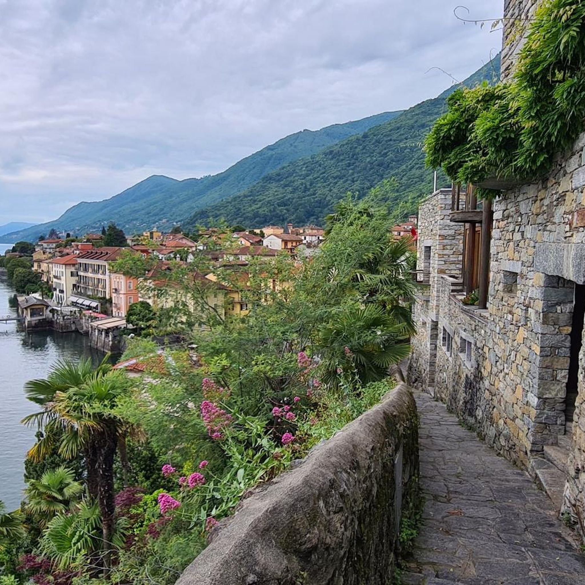
Mountaineering routes near Cannero Riviera offer diverse terrain along the Piedmontese shore of Lake Maggiore. The region features rugged landscapes, including peaks like Cima di Morissolo, and extends to the wilderness of Val Grande National Park. Trails often follow historical mule tracks through chestnut and oak forests, providing panoramic views of the lake and surrounding mountains.
Best mountaineering routes around Cannero Riviera
- The most popular mountaineering route is Scesel loop from Cannobio, an 8.4 miles (13.5 km) trail that takes 7 hours 8 minutes to complete. This difficult route features significant elevation gain and expansive views.
- Another top favourite among local mountaineers is Monte Carza loop from Cannero Riviera, a moderate 4.8 miles (7.7 km) path. This route offers consistent lake views and passes through varied forest terrain.
- Local mountaineers also love the Crego Waterfall – Waterfall loop from Cannobio, an 8.2 miles (13.2 km) trail leading through forested valleys and past water features, often completed in about 5 hours 53 minutes.
- Mountaineering around Cannero Riviera is defined by panoramic Lake Maggiore views, rugged Val Grande terrain, and historical mule tracks. The network offers options for various ability levels, from moderate ascents to challenging, difficult routes.
- The routes in Cannero Riviera are highly rated by the komoot community with an average score of 4.9 stars from over 7 reviews. More than 40 mountaineers have used komoot to explore Cannero Riviera's varied terrain.
Last updated: May 24, 2026
4.5
(2)
17
hikers
14.9km
06:25
1,060m
1,060m
Hard mountaineering route. Very good fitness required. Sure-footedness, sturdy shoes and alpine experience required.
5.0
(3)
6
hikers
13.5km
07:09
1,310m
1,310m
Hard mountaineering route. Very good fitness required. Sure-footedness, sturdy shoes and alpine experience required.

Sign up for free
1
hikers
7.81km
02:50
440m
440m
Moderate mountaineering route. Good fitness required. Mostly accessible paths. Sure-footedness required.
2
hikers
13.2km
05:54
1,050m
1,050m
Hard mountaineering route. Very good fitness required. Mostly accessible paths. Sure-footedness required.
4
hikers
14.0km
05:59
920m
920m
Hard mountaineering route. Very good fitness required. Mostly accessible paths. Sure-footedness required.
Get access to more routes and recommendations from other explorers.
Sign up for free
Already have an account?
Our route recommendations are based on thousands of hikes, rides, and runs completed by other people on komoot.
Start today with a free account
Your next adventure awaits.
Login or Signup

Tips from the Community

Not recommended, we did the hike yesterday, but had to turn back after about half way as many fallen trees blocked the path and bypassing them was initially possible but very demanding due to the steep slope, later it was impossible to get through, problem-free up to Alpe Gallona then better to turn back.
1
0

Dancing Bridge by name and by nature. Very safe, however.
0
0
So there's no via ferrata to be seen anywhere, except for the 1-meter chain that serves as a handrail when it's wet...
0
0
I hiked the route from Cannobio today. Breakfast in St. Agatha, then the church of St. Luca, Alpe Marcalone, and then up to the summit. The rocky, stepped climb is rewarded with a magnificent view. It's deeply relaxing. It's recommended to use hiking poles for support, though, as there are many loose stones and large steps. It was almost 1,100 meters in elevation, and I'm 64.
1
0

It's most beautiful right underneath.
0
0

It's definitely worth stopping by. The ham and cheese platters are delicious, and then you can enjoy the magnificent view. We cycled up on our mountain bikes; with battery support, it's manageable, but without it, it's quite challenging. At the beginning of April 2025, the hut was open from 11:30 a.m. to 4:30 p.m.
0
0

Nice panoramic point with access on two sides. Not easy to cycle due to the high erosion of the path that has created a single large canal
0
0

San Bartolomeo in Montibus stands alone halfway between Cinzago and Formine. If you are climbing from Cinzago towards Formine, you can take a break here: from this point on the path is all downhill. The church, with a Latin cross plan, houses precious 16th-century paintings. Due to its isolated position, surrounded by pastures and mountain pastures, it was a place of worship dedicated to the farmers and shepherds of the area. Every year, in August, the community of the nearby villages organizes the Feast of San Bartolomeo. Next to the church is a small cemetery.
0
0
Frequently Asked Questions
Are there any moderate mountaineering routes around Cannero Riviera suitable for those looking for a less strenuous challenge?
Yes, for those seeking a moderate challenge, the Monte Carza loop from Cannero Riviera is an excellent option. This 4.8-mile (7.7 km) path offers consistent lake views and takes you through varied forest terrain, typically completed in under 3 hours.
Which mountaineering routes offer impressive panoramic views of Lake Maggiore?
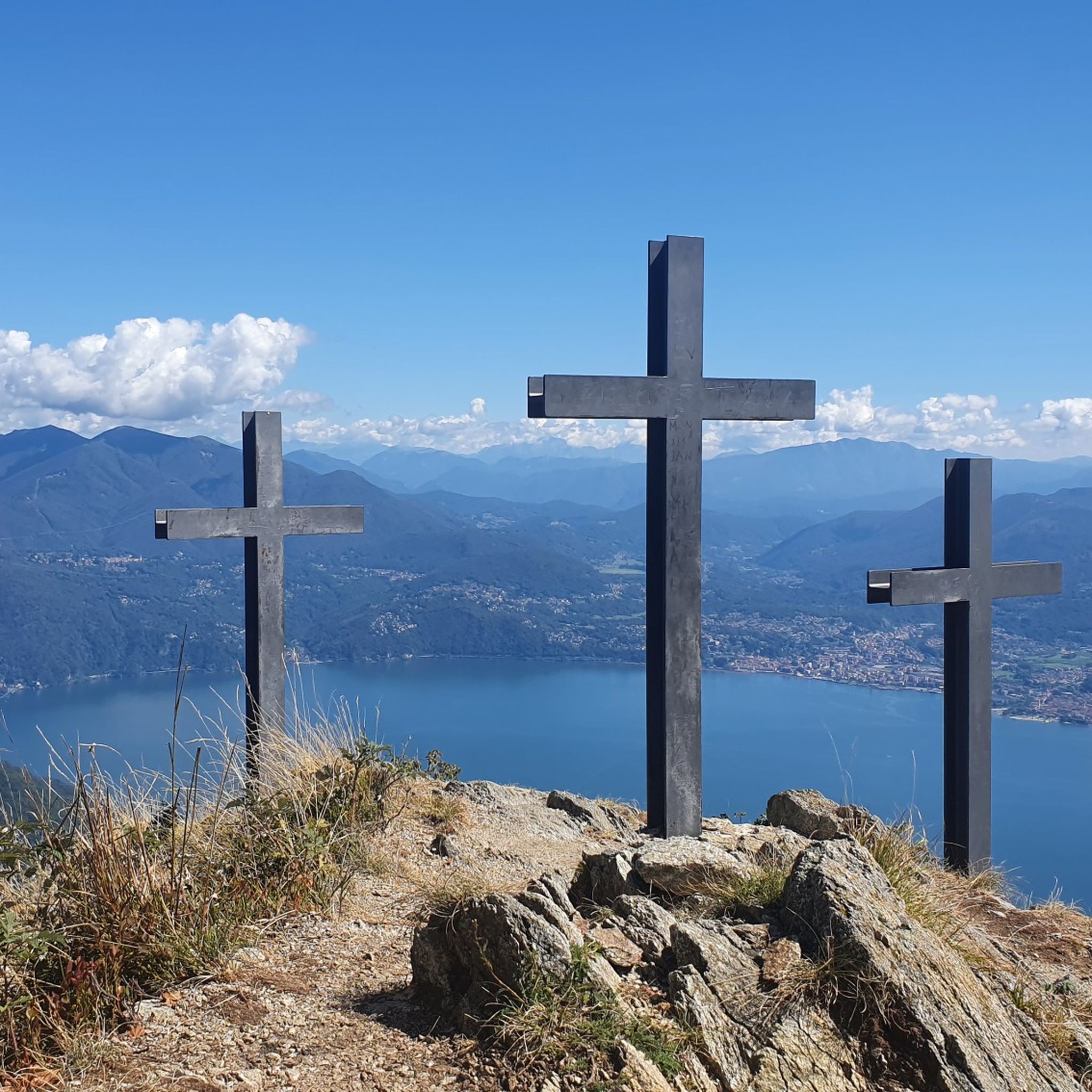
Many routes in the area provide stunning views of Lake Maggiore. The Three Crosses Viewpoint loop from Piancavallo is a shorter, difficult route that leads to a prominent viewpoint. Additionally, trails to Cima di Morissolo, often starting from Cannero Riviera, are renowned for their beautiful panoramas over the lake.
Can I find mountaineering routes that feature waterfalls near Cannero Riviera?
Absolutely. The Crego Waterfall – Waterfall loop from Cannobio is an 8.2-mile (13.2 km) difficult trail that leads through forested valleys and past significant water features, including waterfalls. The nearby Orrido di Sant'Anna also features the deep gorge carved by the Cannobino torrent with clear waters.
Are there any circular mountaineering routes available in the region?
Yes, several routes are designed as loops. Examples include the Scesel loop from Cannobio, a challenging 8.4-mile (13.5 km) route, and the Monte Carza loop from Cannero Riviera, a moderate 4.8-mile (7.7 km) option. These circular routes allow you to start and end in the same location.
What kind of historical landmarks or points of interest can I expect to see along the mountaineering trails?
The region is rich in history. You might encounter ancient mule tracks, some dating back a thousand years, connecting towns and winding through olive groves. The area around Cima di Morissolo features fortifications from World War I. You can also explore charming medieval villages like Carmine Superiore. For specific historical sites, consider visiting the Church of Sant'Anna and Medieval Bridge or the Sacro Monte of Ghiffa, a UNESCO World Heritage Site.
What is the best time of year for mountaineering around Cannero Riviera?
Cannero Riviera benefits from a mild climate, making it suitable for outdoor activities for much of the year. Spring and autumn generally offer pleasant temperatures and vibrant scenery, with chestnut and oak woods providing shade. Summer can also be enjoyable, especially at higher elevations, but it's always wise to check local weather conditions before heading out.
Are there any huts or refuges along the mountaineering routes for breaks or overnight stays?
Yes, there are several huts in the vicinity that can serve as resting points. Notable options include Alpe Marcalone, Pian Cavallone Hut, and Alpe Curgei Refuge. These can be useful for longer treks or simply for a break with a view.
What do other mountaineers say about the routes in Cannero Riviera?
The mountaineering routes around Cannero Riviera are highly rated by the komoot community, with an average score of 4.9 stars from over 7 reviews. Users often praise the expansive views of Lake Maggiore, the diverse terrain, and the opportunity to explore both challenging ascents and more moderate paths through historical landscapes.
Are there options for more advanced or challenging mountaineering experiences?
Yes, the region offers challenging paths for experienced hikers. Six of the eight routes listed are classified as 'difficult', featuring significant elevation gain and rugged terrain. The wilderness of Val Grande National Park, located to the west, is particularly known for its jagged rocks and secluded mountains, catering to those seeking untouched wilderness and requiring good orientation and specific mountain equipment.
Can I bring my dog on the mountaineering trails around Cannero Riviera?
While specific dog-friendly regulations can vary by trail and protected areas, many natural trails in the region are generally accessible for dogs, especially if kept on a leash. Given the diverse forests and less crowded sections, it's a good area for hiking with canine companions. Always ensure your dog is well-behaved and that you carry waste bags.
Are there any family-friendly mountaineering options, perhaps with less elevation gain?
While many mountaineering routes here are challenging, some sections or shorter trails might be suitable for families with older children who are accustomed to hiking. The region also offers six Nordic Walking itineraries that start from Cannero Riviera and nearby villages, which are designed with varying timings and difficulties, catering to families looking for less strenuous outdoor activities.
What kind of wildlife might I encounter while mountaineering in this area?
The diverse forests of chestnut and oak, along with the rugged terrain of Val Grande National Park, provide habitats for various wildlife. While specific sightings are never guaranteed, you might encounter local bird species, small mammals, and possibly deer. The untouched wilderness of Val Grande is particularly rich in biodiversity.
Is public transport available to access the starting points of mountaineering routes?
Cannero Riviera is situated on Lake Maggiore, and public transport options like local buses and ferries connect it to surrounding towns such as Cannobio and Verbania. Some routes, like the Scesel loop from Cannobio, start from easily accessible towns, making public transport a viable option for reaching trailheads. It's advisable to check local bus and ferry schedules for specific route access.
Most popular routes around Cannero Riviera
Most popular attractions around Cannero Riviera

Get inspired with the komoot mobile app


Explore more
Browse the best Mountain Hikes & Routes in other regions.
