The best walks and hikes in the Serrania de Tabasara
4.5
(62)
204
hikers
13
hikes
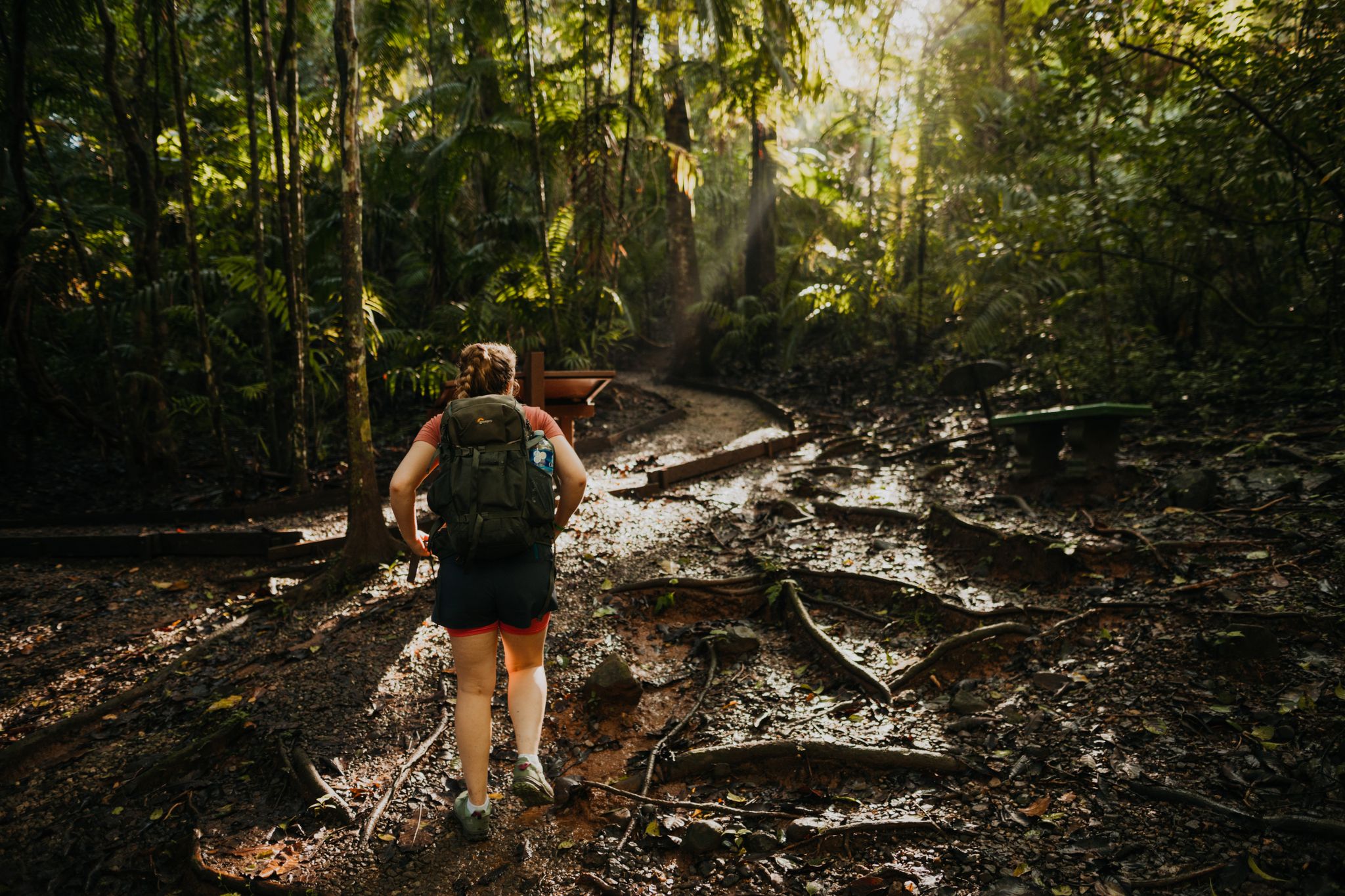
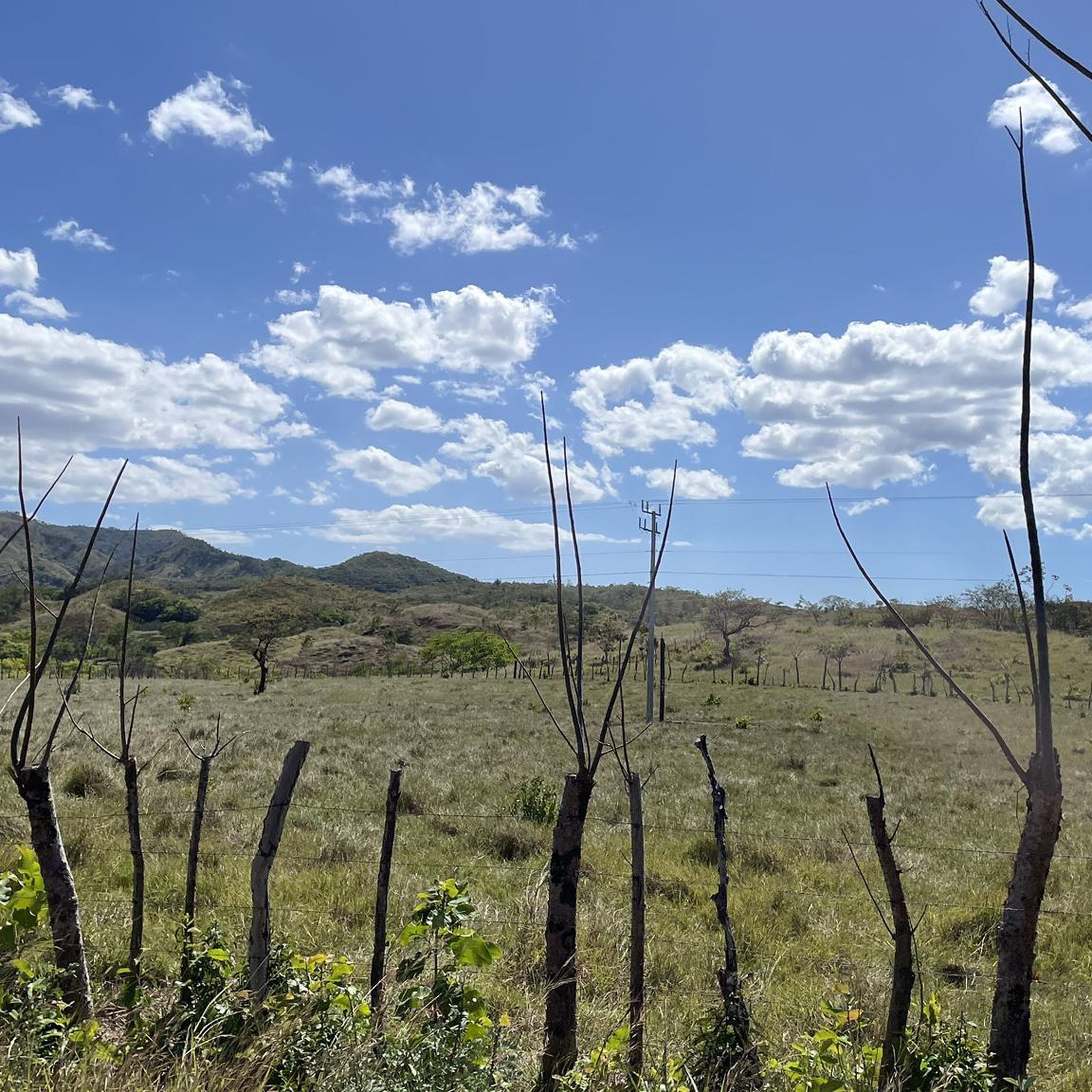
Hiking in the Serrania de Tabasara, a prominent part of Panama's Cordillera Central, offers diverse and dramatic landscapes. This mountain range features towering peaks, lush forests, and numerous waterfalls, forming a significant portion of Panama's continental divide. Hikers can traverse varied ecosystems, including dense forests and highland meadows, with trails often involving steep inclines and significant elevation gains. The region provides a range of routes for outdoor enthusiasts.
Best hiking trails in the Serrania de Tabasara
- The most popular hiking route is Cerro Tute Summit – Cerro Tute loop from Santa Fe, an 8.8 miles (14.1 km) trail that takes 4 hours 44 minutes to complete. This route offers ascents to Cerro Tute Summit with panoramic views.
- Another top favourite among local hikers is View of the Mountains – Soccer Field loop from Santa Fe, a moderate 8.8 miles (14.2 km) path. This trail provides expansive mountain views around Santa Fe.
- Local hikers also love the Waterfalls loop from Santa Fe, a 6.3 miles (10.1 km) trail leading through areas with enchanting waterfalls, often completed in about 3 hours 11 minutes.
- Hiking in the Serrania de Tabasara is defined by towering peaks, lush forests, and enchanting waterfalls. The network offers options for different ability levels, from moderate hikes to more demanding climbs.
- The routes in Serrania de Tabasara are highly rated by the komoot community with an average score of 4.4 stars from over 50 reviews. More than 170 hikers have used komoot to explore Serrania de Tabasara's varied terrain.
Last updated: July 1, 2026
4.9
(14)
40
hikers
14.1km
04:44
710m
710m
Moderate hike. Good fitness required. Easily-accessible paths. Suitable for all skill levels.
4.3
(3)
21
hikers
14.2km
04:24
530m
530m
Moderate hike. Good fitness required. Easily-accessible paths. Suitable for all skill levels.

Sign up for free
4.3
(6)
15
hikers
10.1km
03:11
300m
300m
Moderate hike. Good fitness required. Mostly accessible paths. Sure-footedness required.
4.3
(7)
17
hikers
13.0km
04:23
650m
650m
Moderate hike. Good fitness required. Easily-accessible paths. Suitable for all skill levels.
5.0
(2)
8
hikers
11.6km
03:54
570m
570m
Moderate hike. Good fitness required. Easily-accessible paths. Suitable for all skill levels.
4.3
(6)
24
hikers
4.33km
02:24
350m
350m
Hard hike. Good fitness required. Sure-footedness, sturdy shoes and alpine experience required.
5.0
(2)
8
hikers
2.49km
00:54
60m
60m
Moderate hike. Great for any fitness level. Mostly accessible paths. Sure-footedness required.
7
hikers
5.52km
01:32
100m
100m
Easy hike. Great for any fitness level. Easily-accessible paths. Suitable for all skill levels.
3.0
(1)
2
hikers
10.3km
03:21
480m
490m
Moderate hike. Good fitness required. Easily-accessible paths. Suitable for all skill levels.
Get access to more routes and recommendations from other explorers.
Sign up for free
Already have an account?
Our route recommendations are based on thousands of hikes, rides, and runs completed by other people on komoot.
Start today with a free account
Your next adventure awaits.
Login or Signup
Popular around Serrania de Tabasara
Other adventures in the Serrania de Tabasara

Tips from the Community

Good Hostel, Nice people. but justo have stricty and unvelible rulers.
0
0
Super Cool, go at sunrise or sunset
0
0
It is a long walk for a whole day, bring fly and mosquito repellent
0
0

On the Cerro Tute summit you look far into the country and can enjoy a fantastic view when the visibility is good. Up here, surefootedness and a head for heights are required.
0
0
Small wooden huts, palm trees and the surrounding mountain ranges accompany you on the way to the trail up to Cerro Tute. Be sure to stay on the trail here to protect nature and respect residents' privacy.
0
0
Frequently Asked Questions
What kind of terrain can I expect when hiking in the Serrania de Tabasara?
The Serrania de Tabasara features diverse and dramatic landscapes, including towering peaks, lush forests, and highland meadows. Trails often involve steep inclines and significant elevation gains, offering a robust hiking experience. You'll traverse through dense forests and, in some areas, cloud forests teeming with life.
How many hiking trails are available in the Serrania de Tabasara?
There are over 10 hiking routes available in the Serrania de Tabasara, catering to various difficulty levels. You'll find options ranging from easy walks to more demanding climbs.
Are there hiking options for beginners or those looking for an easier walk?
Yes, there are options for beginners. For example, the Soccer Field – View of the Mountains loop from Escuela Alto Piedra is an easy 3.4-mile (5.5 km) path with minimal elevation gain, perfect for a more relaxed experience.
What is the best time of year to go hiking in the Serrania de Tabasara?
The highlands of Serrania de Tabasara offer a refreshing, cooler climate compared to Panama's coastal areas, making it an attractive destination for outdoor activities year-round. However, for the most comfortable hiking, consider visiting during the dry season (typically December to April) to avoid heavy rains.
Are there any notable waterfalls to see while hiking?
Yes, the Serrania de Tabasara is home to numerous enchanting waterfalls. You can explore them on routes like the Waterfalls loop from Santa Fe or the Waterfalls loop from Río Mulabá. The Cuvíbora Cascades overlook also offers scenic views of cascades.
What kind of wildlife might I encounter on the trails?
Panama is a biodiversity hotspot, and the Serrania de Tabasara is rich in flora and fauna. Hikers might encounter diverse wildlife, including various rodents, carnivores such as ocelots, jaguars, and pumas, as well as numerous bird species, including the elusive resplendent quetzal, especially in the lush forests and cloud forest areas.
Are there any specific viewpoints or landmarks worth visiting?
Absolutely. Cerro Tute is an iconic mountain offering panoramic vistas, and on clear days, you might even see both the Pacific and Caribbean oceans. The Trail to Cerro Tute is a popular way to reach these views. Additionally, the Cuvíbora Cascades overlook provides stunning natural scenery.
Are there any circular hiking routes in the Serrania de Tabasara?
Many of the trails in the Serrania de Tabasara are designed as loops, allowing you to start and end in the same location. Examples include the View of the Mountains – Soccer Field loop from Santa Fe and the Cerro Tute loop from Santa Fe.
What do other hikers enjoy most about hiking in Serrania de Tabasara?
The area is highly rated by the komoot community, with an average score of 4.4 stars from over 50 reviews. Hikers often praise the spectacular panoramic views from peaks like Cerro Tute, the lush and biodiverse forests, and the refreshing waterfalls found along the trails.
Are there any challenging hikes for experienced hikers?
Yes, the region offers demanding climbs for experienced hikers. For instance, the Hiking loop from Alto de La Mina is classified as difficult, featuring significant elevation changes over its 2.1-mile (3.4 km) distance.
Is public transport available to reach the trailheads?
While specific public transport details for each trailhead are not provided, the region's main towns like Santa Fe often serve as starting points for many trails. It's advisable to check local transport options or consider private transportation to reach more remote trailheads.
Are there any permits required for hiking in the Serrania de Tabasara?
Generally, permits are not widely required for hiking on established trails in the Serrania de Tabasara, especially within areas like Santa Fe National Park. However, for specific protected areas or guided tours, it's always best to check with local authorities or tour operators beforehand.
Most popular routes in the Serrania de Tabasara
Most popular attractions in the Serrania de Tabasara

Get inspired with the komoot mobile app


Explore more
Browse the best Hikes in other regions.
