The best road cycling routes around Senftenbach
4.7
(81)
2,884
riders
344
rides
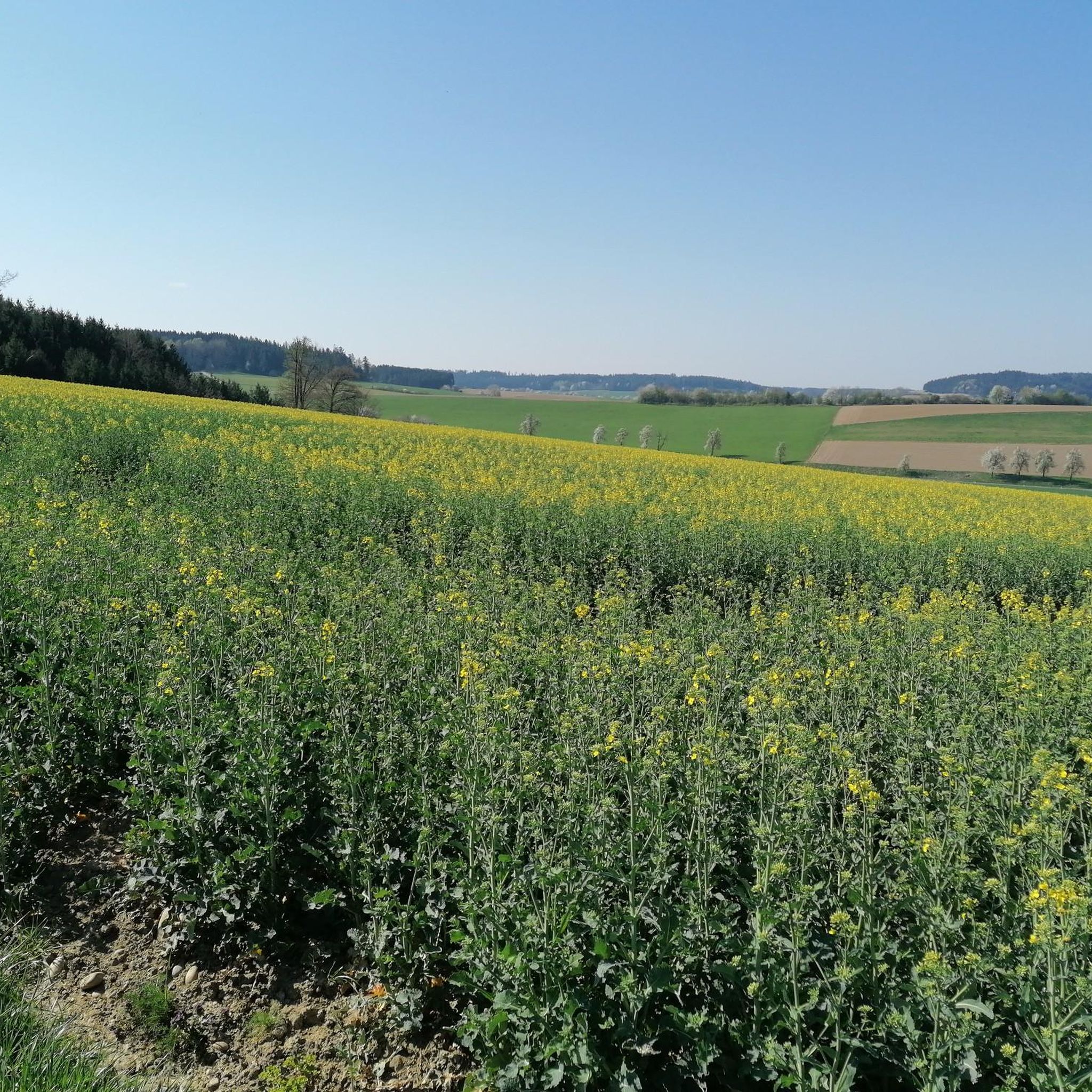
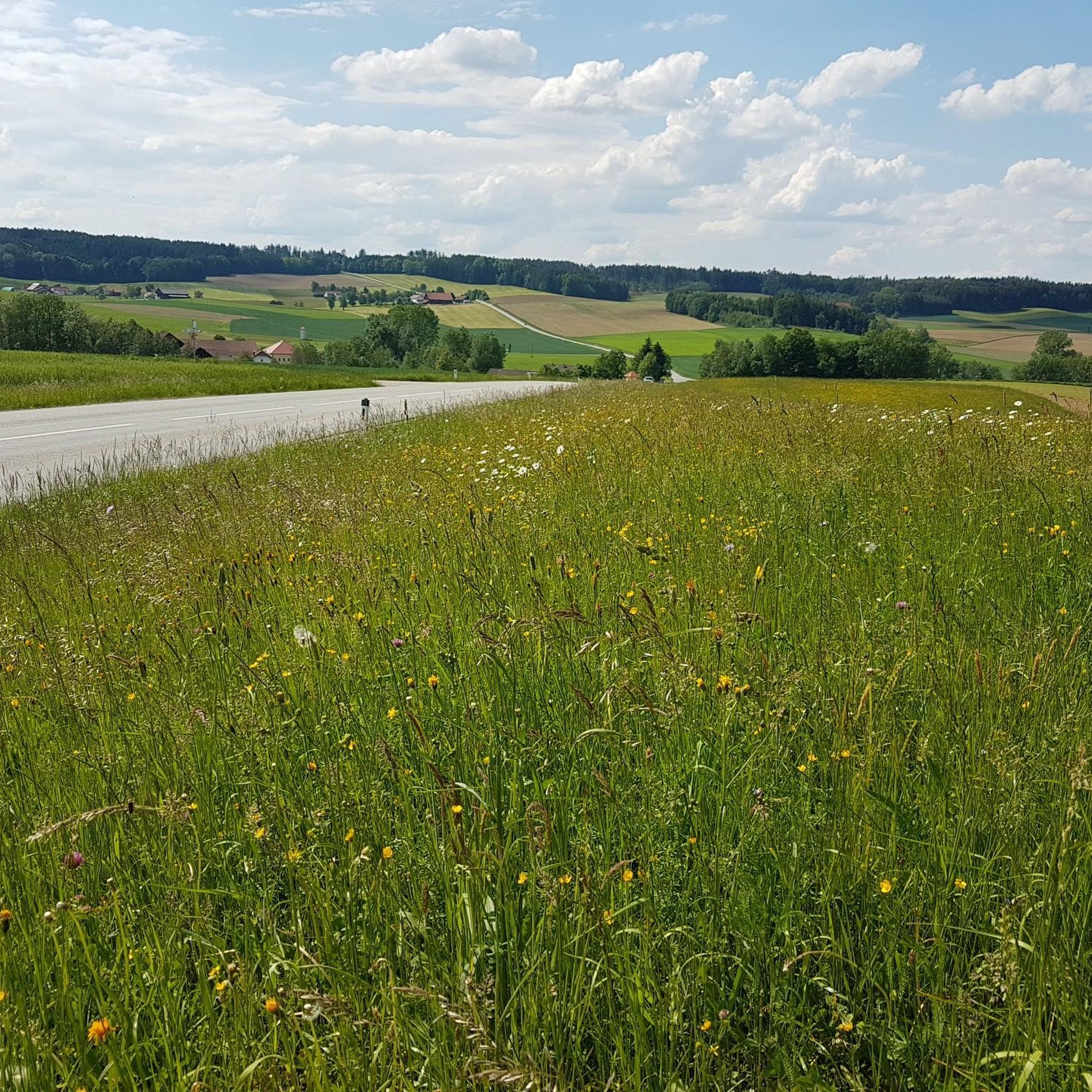
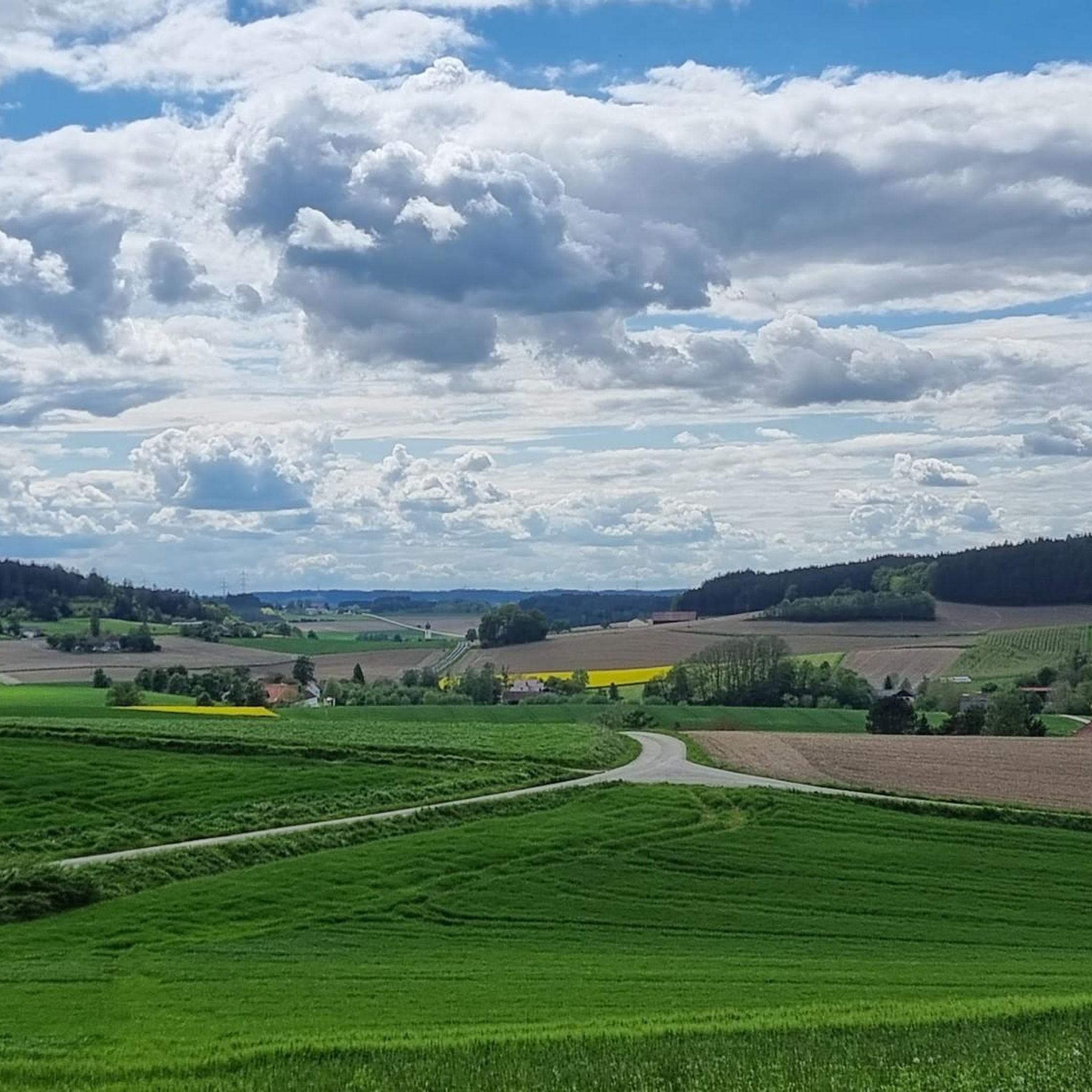
Road cycling around Senftenbach offers routes through tranquil rural landscapes and gentle rolling hills in Upper Austria. The region, situated at an elevation of 414 meters, features a mix of agricultural and wooded areas. Cyclists can experience varied terrain with constant up and down between small villages and orchards. This topography provides engaging yet not overly strenuous cycling opportunities.
Best road cycling routes around Senftenbach
- The most popular road cycling route is Reichersberg Abbey – Obernberg am Inn Market Square…
Last updated: May 20, 2026
30
riders
Easy road ride. Great for any fitness level. Mostly well-paved surfaces and easy to ride.
5.0
(1)
29
riders
Easy road ride. Great for any fitness level. Mostly well-paved surfaces and easy to ride.

Sign up for free
4.0
(1)
14
riders
32.4km
01:31
210m
210m
Easy road ride. Great for any fitness level. Mostly well-paved surfaces and easy to ride.
8
riders
Moderate road ride. Good fitness required. Mostly well-paved surfaces and easy to ride.
4
riders
52.0km
02:20
460m
460m
Moderate road ride. Good fitness required. Mostly well-paved surfaces and easy to ride.
Get access to more routes and recommendations from other explorers.
Sign up for free
Already have an account?
Our route recommendations are based on thousands of hikes, rides, and runs completed by other people on komoot.
Start today with a free account
Your next adventure awaits.
Login or Signup

Tips from the Community

Beautiful house on the market square
2
0
Ried im Innkreis is a town in western Upper Austria with 12,766 inhabitants, located approximately 80 kilometers west of Linz and 60 kilometers northeast of Salzburg. It is the district capital of the Ried district and a regional center within the Innviertel region. It is also the center of the Ried im Innkreis judicial district.
2
0
Ried is situated in the heart of the Innviertel hill country, in a depression of the Alpine foothills north of the Hausruck Forest. The town's name derives from the Middle High German word "Riet" (also: "Rieth," "Reet," "Rohr," and similar terms), meaning reeds growing on riverbanks and marshy ground. A spot where the gradient of the two rivers, Oberach and Breitsach, slowed and saturated the soil gave the town its name. The two rivers converge north of the old town to form the Rieder Bach, a stream that flows for 2.6 kilometers before emptying into the Antiesen River outside the town limits. Ried im Innkreis lies at an altitude of 433 meters. It extends 3.2 kilometers from north to south and 3.6 kilometers from west to east, covering a total area of 6.7 square kilometers.
3
0
Ried im Innkreis is a town in western Upper Austria with 12,766 inhabitants, located approximately 80 kilometers west of Linz and 60 kilometers northeast of Salzburg. It is the district capital of the Ried district and a regional center within the Innviertel region. It is also the center of the Ried im Innkreis judicial district.
2
0

The town square and the brewery and tanner's house in Ried im Innkreis.
0
0
The parish church of Kirchdorf am Inn is located in the municipality of Kirchdorf am Inn in Upper Austria. It is the Roman Catholic parish church of the Assumption of Mary.
0
0

The main square in Ried im Innkreis is the vibrant heart of the town and offers a variety of activities for locals and visitors. Here are some interesting facts about the main square: 1. Lively atmosphere: - The main square is a central meeting place where the town's life takes place. Here you will find numerous cafés, restaurants, and shops that invite you to linger. 2. Cultural events: - The square is often the venue for various events and festivals that enrich Ried's cultural life. These include markets, concerts, and other festivities. 3. Architecture: - Surrounded by historic buildings, the main square features an interesting mix of traditional and modern architecture, reflecting the town's history. 4. Webcam: - There is a live webcam that shows the main square and provides current images of the lively scenery. This is a great way to experience the atmosphere of the square in real time. 5. **Contact Information**: - For more information about events or activities at the main square, you can contact the municipality of Ried im Innkreis. Contact details can usually be found on the municipality's official website. The main square in Ried im Innkreis is therefore a lively place that has much to offer both locals and tourists.
1
0

beautiful city, always good for a beer 👍
0
0
Frequently Asked Questions
How many road cycling routes are available around Senftenbach?
There are over 340 road cycling routes around Senftenbach, offering a wide variety of options for cyclists. These routes are highly rated by the komoot community, with an average score of 4.7 stars.
What is the typical terrain like for road cycling in Senftenbach?
The region around Senftenbach is characterized by gentle rolling hills, offering an engaging but not overly strenuous cycling experience. You'll encounter a pleasant mix of agricultural fields and wooded areas, with constant 'up and down' between small villages and orchards, providing varied scenery.
Are there road cycling routes suitable for beginners or less experienced cyclists?
Yes, Senftenbach offers a good selection of routes for all skill levels. There are over 50 easy road cycling routes. For example, the Aurolzmünster Castle – Main Square, Ried im Innkreis loop from St. Martin im Innkreis is an easy 16.6-mile (26.7 km) path that traverses picturesque agricultural landscapes.
What cultural or historical landmarks can I explore while road cycling in the area?
The region offers several cultural and historical points of interest. You can cycle past significant sites like Reichersberg Abbey, which is located directly on the Roman Bike Path R6. The Reichersberg Abbey – Obernberg am Inn Market Square loop from St. Martin im Innkreis is a popular route that connects these cultural sites.
Are there any scenic viewpoints or natural features along the road cycling routes?
Absolutely. The routes often pass through the picturesque Innviertel region, offering views of pristine natural surroundings. You can find viewpoints such as the Bench by the Pond in the Forest or the Observation Deck in the Nature Reserve. The Antiesenhofen Village – Hoher Schachen loop from St. Martin im Innkreis leads through gentle rolling hills and wooded areas, providing beautiful scenery.
Which established long-distance cycling paths are accessible from Senftenbach?
Senftenbach provides access to well-established cycling paths. The Inn Cycle Path (Inn-Radweg) is a significant draw, known for its scenic views along the Inn River. Additionally, the Roman Bike Path R6 (Römerradweg R6) passes through the area, offering a historical cycling experience.
Are there any circular road cycling routes around Senftenbach?
Yes, many of the routes around Senftenbach are designed as loops, allowing you to start and end at the same point. For instance, the Stelzhamer House – Prameter Swimming Lake loop from St. Martin im Innkreis is a moderate 37.2-mile (59.9 km) circular route.
What is the best time of year for road cycling in Senftenbach?
The gentle rolling hills and varied landscapes of Senftenbach are enjoyable throughout the warmer months. Spring and autumn typically offer pleasant temperatures and beautiful scenery, with the agricultural and wooded areas showcasing vibrant colors. Summer is also suitable, though it can be warmer.
Are there any routes that pass by lakes or natural reserves?
Yes, some routes will take you near natural water bodies and protected areas. You can find highlights like Wildenau Lake or the Stoppweiher Kiesgrube Nature Reserve. The Stelzhamer House – Prameter Swimming Lake loop from St. Martin im Innkreis is an example of a route that includes a lake.
What is the longest road cycling route available in Senftenbach?
Among the longer options, the Stelzhamer House – Prameter Swimming Lake loop from St. Martin im Innkreis covers approximately 37.2 miles (59.9 km) with a moderate difficulty, offering a substantial ride through the region.
What do other road cyclists enjoy most about the routes in Senftenbach?
The road cycling routes in Senftenbach are highly rated by the komoot community, with an average score of 4.7 stars from over 80 reviews. Cyclists often praise the tranquil rural landscapes, the engaging 'up and down' terrain, and the well-maintained paths that connect charming villages and natural features.
Most popular attractions around Senftenbach

Get inspired with the komoot mobile app


Explore more
Browse the best Road cycling routes in other regions.
