The best cycling routes around Alluvioni Cambiò
4.2
(73)
910
riders
59
rides
Touring cycling routes around Alluvioni Cambiò are characterized by the flat landscapes of the Po Valley, making it suitable for accessible routes without significant elevation changes. The region is defined by its proximity to major river systems, including the Po, Tanaro, and Scrivia Rivers, which contribute to expansive floodplains and fertile areas. These riverine environments provide scenic backdrops for cycling. The terrain primarily consists of flat agricultural lands and riverbanks.
Best touring cycling routes around Alluvioni Cambiò
- The most popular…
Last updated: November 1, 2026
28
riders
43.0km
02:37
330m
330m
Moderate bike ride. Good fitness required. Mostly paved surfaces.
5.0
(5)
27
riders
42.3km
03:20
580m
580m
Hard bike ride. Very good fitness required. Mostly paved surfaces.

5.0
(1)
10
riders
28.4km
01:43
170m
170m
Moderate bike ride. Good fitness required. Mostly paved surfaces.
8
riders
25.6km
01:43
230m
230m
Moderate bike ride. Good fitness required. Mostly paved surfaces.
7
riders
62.5km
03:44
300m
300m
Moderate bike ride. Good fitness required. Mostly paved surfaces.
Get access to more routes and recommendations from other explorers.
Already have an account?
Our route recommendations are based on thousands of hikes, rides, and runs completed by other people on komoot.
Start today with a free account
Your next adventure awaits.
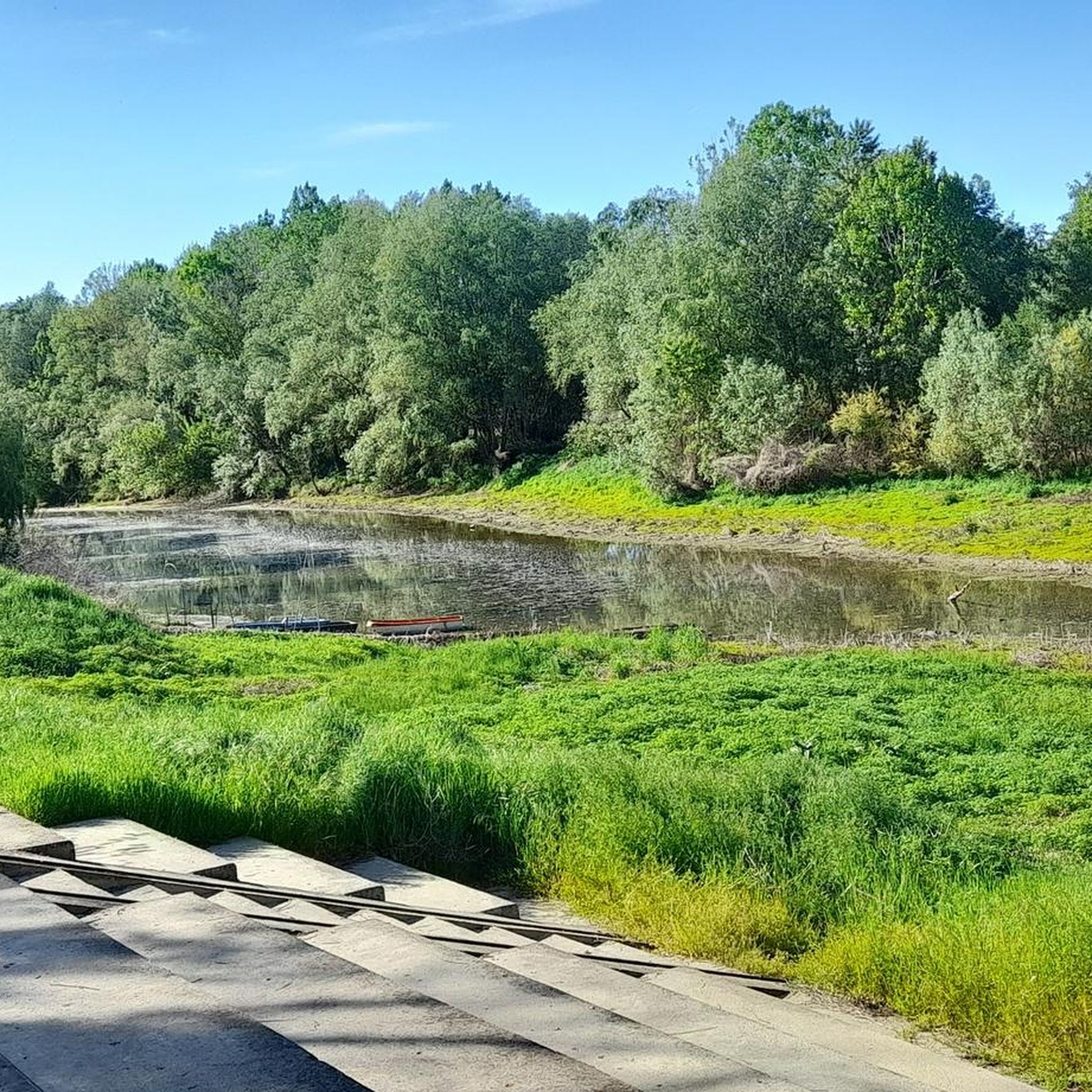
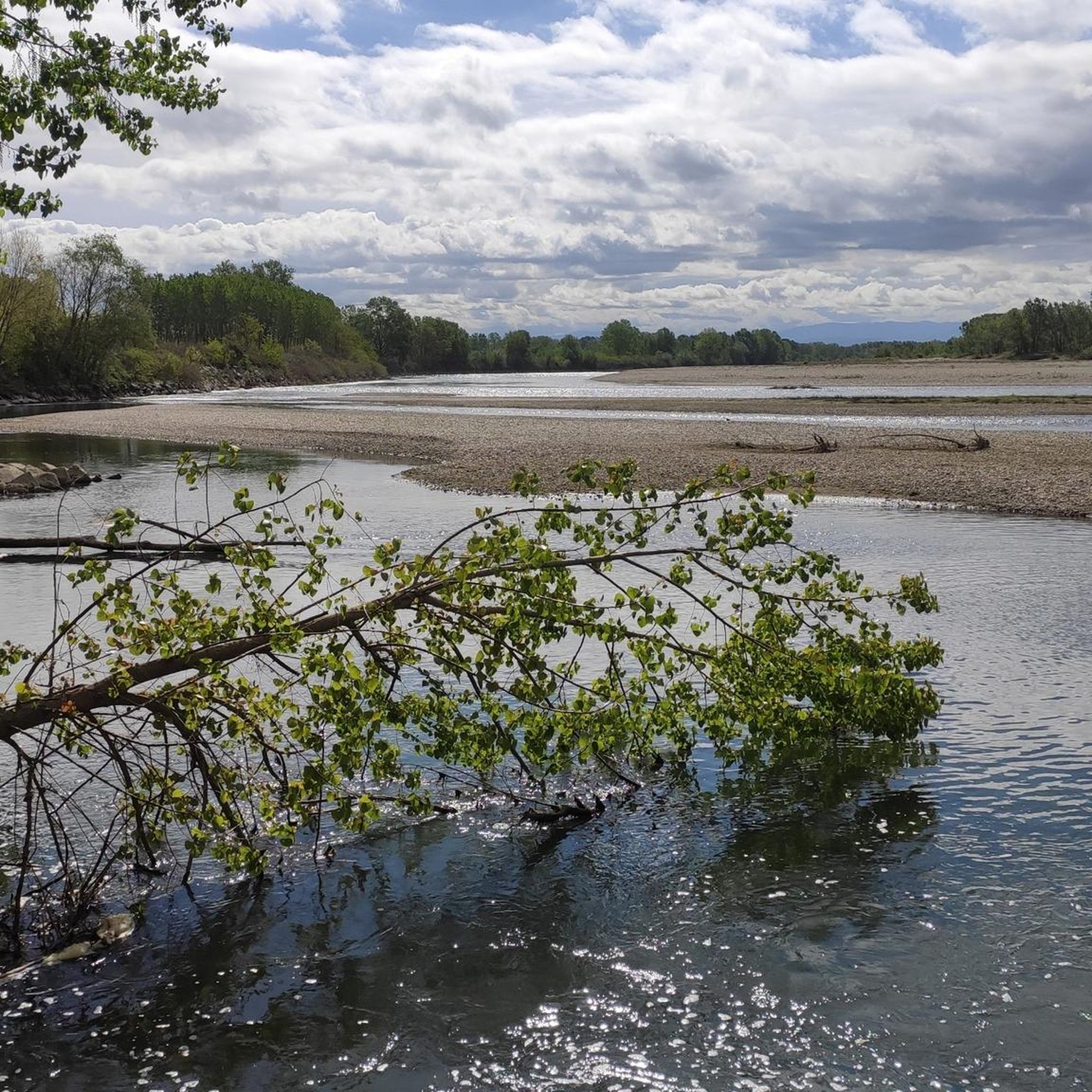
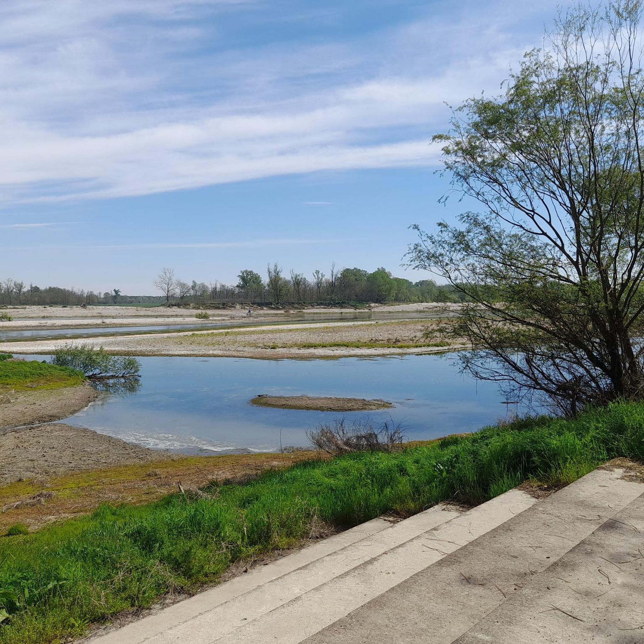

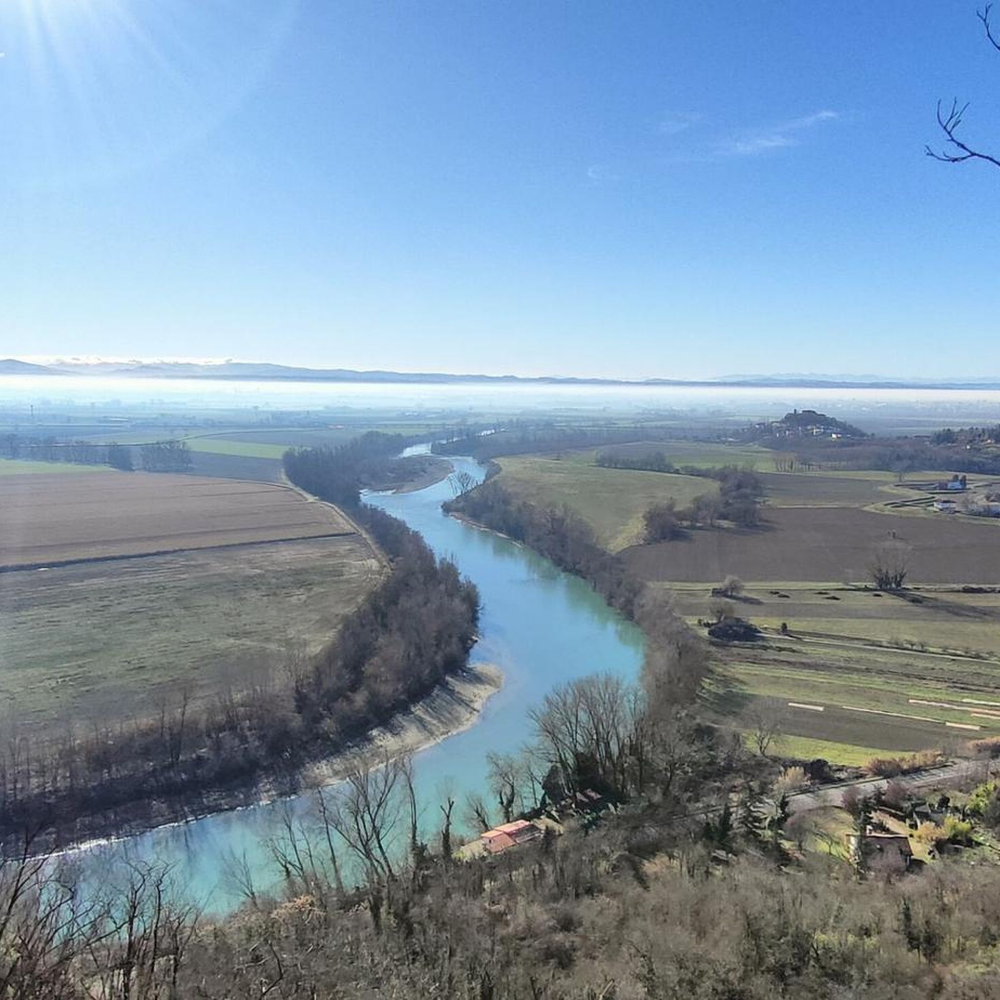
Tips from the Community

View of the Tanaro.
5
0
Church in perfect condition.
11
0
Final while reopened after a long time.
11
0

A beautiful area to explore on a long tour
0
0

REOPENED with alternating one-way traffic 24/9/2025
1
0

Frequently Asked Questions
How many touring cycling routes are available in Alluvioni Cambiò?
There are over 60 touring cycling routes around Alluvioni Cambiò, offering a wide range of options for different skill levels. You'll find 15 easy routes, 33 moderate routes, and 13 difficult routes to explore the flat landscapes and riverine environments of the Po Valley.
What kind of terrain can I expect on touring cycling routes in Alluvioni Cambiò?
The terrain in Alluvioni Cambiò is predominantly flat, characteristic of the Po Valley. Routes often follow riverbanks along the Po, Tanaro, and Scrivia Rivers, and pass through expansive agricultural lands. This makes the area ideal for touring cyclists seeking accessible rides without significant elevation changes.
Are there any circular touring cycling routes in the area?
Yes, many routes in Alluvioni Cambiò are circular. For example, the Pecetto di Valenza – Greenway of the Two Citadels loop from Pecetto di Valenza is a popular option, offering a 47.3 km ride through riverine landscapes. Another is the Pecetto di Valenza – Monument to Giuseppe Borsalino loop from Pecetto di Valenza, a moderate 19.2 km trail.
What are some family-friendly touring cycling options in Alluvioni Cambiò?
Given the region's flat topography, many of the 15 easy routes are suitable for families. These routes typically follow quiet roads or dedicated paths along the rivers and through agricultural fields, providing a safe and enjoyable experience for all ages. Look for routes with shorter distances and minimal elevation gain.
What cultural attractions can I visit while cycling in Alluvioni Cambiò?
The region offers several cultural points of interest. You can visit the historic Castello di Piovera, an ancient manor that hosts artistic workshops. The Ponte della Gerola is another notable landmark, and the Oratorio della Madonnina delle Vigne offers a glimpse into local religious heritage.
What do other touring cyclists say about the routes in Alluvioni Cambiò?
The touring cycling routes in Alluvioni Cambiò are highly rated by the komoot community, with an average score of 4.4 stars from nearly 60 reviews. Over 900 touring cyclists have used komoot to explore the area, often praising the scenic river views and the ease of cycling on the flat terrain.
Are there any routes that offer extensive river views?
Absolutely. The region is defined by its major river systems. The Valenza Bridge over the Po – Iron Bridge over the Po loop from Pecetto di Valenza is a difficult 60.9 km path that follows the Po River, providing extensive river views and passing through the flat plains. Many other routes also hug the banks of the Po, Tanaro, and Scrivia Rivers.
What is the best time of year for touring cycling in Alluvioni Cambiò?
The flat terrain makes cycling enjoyable for much of the year. Spring and autumn generally offer the most pleasant conditions with mild temperatures and less humidity, ideal for longer rides. Summer can be warm, but early mornings or late afternoons are still good for cycling, especially along the shaded riverbanks.
Can I access touring cycling routes using public transport in Alluvioni Cambiò?
While specific public transport links directly to trailheads might be limited, the region is part of Italy's Piedmont area. It's advisable to check local bus or train schedules for connections to towns like Valenza or Alessandria, which may offer closer access points to the cycling network. Planning your route start and end points near these towns could facilitate public transport use.
Are there any challenging touring cycling routes for experienced riders?
Yes, for experienced riders seeking a challenge, there are 13 difficult routes. The Alessandria Hills – "SCENIC RIDGE" loop from Rivarone, at 61.5 km, offers a more demanding ride with some elevation changes despite the generally flat region. The Pecetto di Valenza – Greenway of the Two Citadels loop from Pecetto di Valenza is also rated difficult, providing a longer distance.
Where can I find parking for touring cycling routes in Alluvioni Cambiò?
Parking is generally available in the towns and villages that serve as common starting points for routes, such as Pecetto di Valenza or Alluvioni Piovera itself. Look for designated parking areas near town centers or public spaces. Many routes are loops, allowing you to start and finish at the same location where you've parked.
Are there any specific cycle routes that are part of a larger network?
Yes, Alluvioni Piovera serves as a starting point for routes 4 and 5 of the 'In bici sul Po' (Cycling on the Po) series. These routes utilize the flat topography and picturesque river views, connecting to other towns and forming part of a broader cycling network along the Po River, such as the Po and Orba Cycle Route.
Most popular routes around Alluvioni Cambiò
Most popular attractions around Alluvioni Cambiò

Get inspired with the komoot mobile app


Explore more
Browse the best Cycling routes in other regions.
